Høyvika Beach Loop Hike – Hike to a beautiful Beach in Andøya, Norway
Høyvika is a stunning, hidden, white sand beach you can only hike on the Island of Andøya. The hike is relatively easy and well worth it, even better as a sunset hike when the sun throws its warm light onto the cliffs surrounding the beach and the beach itself.
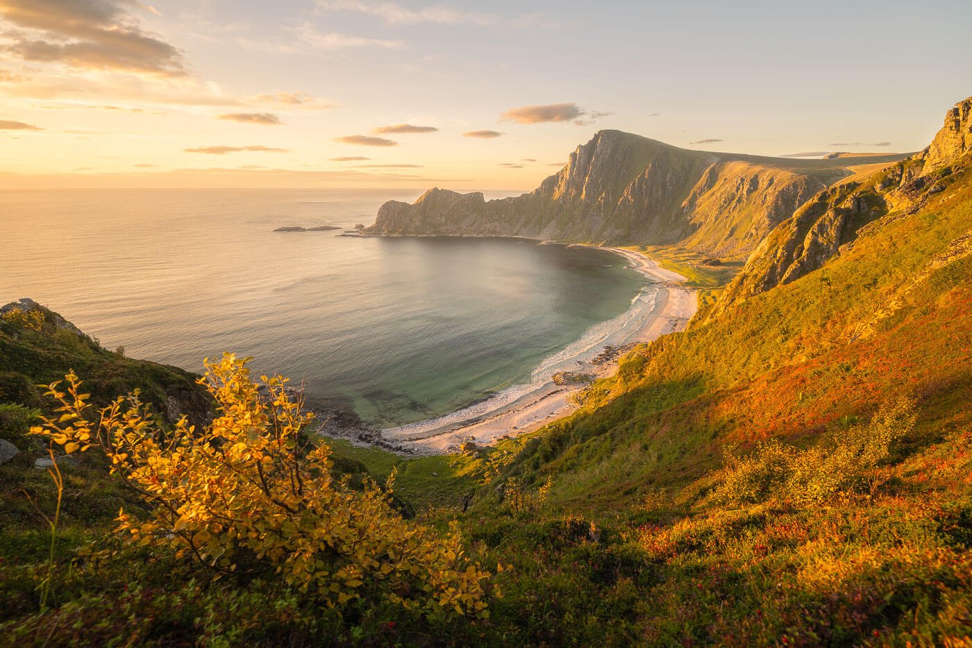
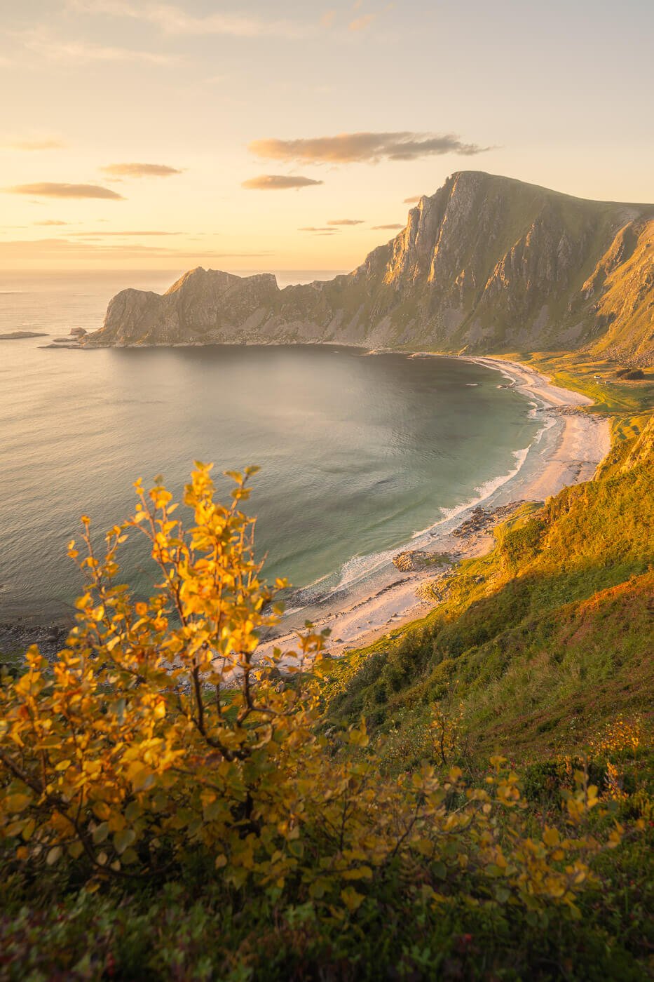
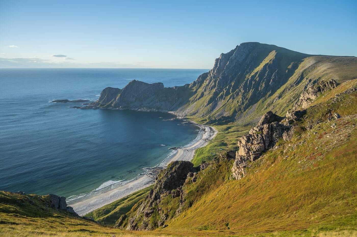
Høyvika beach at sunset.
The beach is quite large, and you can also see it from Matinden. However, visiting the beach provides is unique experience. It is completely secluded, it almost feels like being in some isolated, remote location. Apart from a couple of huts and some debris washed ashore, there are also few signs of civilization.

On the shores of Høyvika
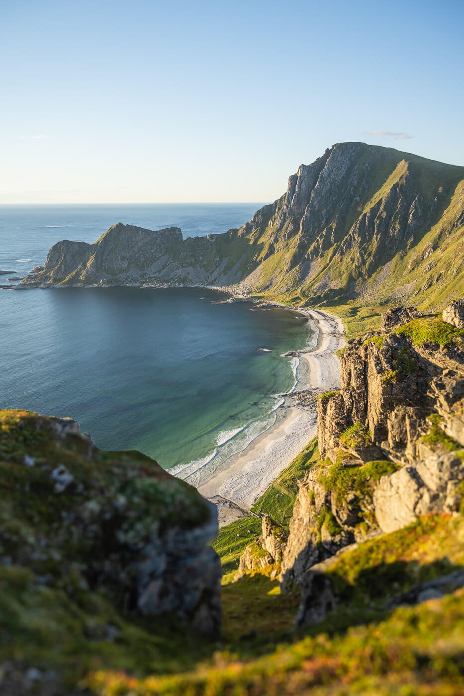
The great bonus of this hike is the viewpoint above the beach. An absolutely spectacular view, especially at sunset. One that made me wonder: how is this not a major, well-renowned location?
Such is Norway I guess – with all the fjords, islands, and mountains, its immense coastline is bound to have many lesser-known, beautiful locations.
If you could only hike to one beach in Andøya, Høyvika is the one not to miss.
Table of Contents
Overview of the Høyvika Beach Loop Hike & Map
The hike is neither too long nor too difficult, but there are some tricky stretches, especially along the coast, and on the section connecting the beach to the upper part of the trail.
Do note that this is a loop. so technically you can do it both ways. Most commonly this is done clockwise, so get to the beach first, climb up the side of the mountain, and return to the parking area from there. This is the best way to do it also if you want to catch the sunset from the viewpoint above the beach.
However, avoid this hike in bad weather. Høyvika is not a fun place to be when a storm is about to hit and the seas start to swell. Been there, done that, not doing it again.
| Max Altitude | 256m |
|---|---|
| Distance | 5.38 KM |
| Elevation gain | 470m ↑ / 470m ↓ |
| Hike time | 02:00/ 02:30 Hours |
| Hike Difficulty | Moderate |
Here is the map of the hike. you can download the GPS file from the activity below for free. I’d recommend downloading it if you are planning to do this hike because the trail from the beach back up to the side of the mountain is hard to see. Also, the cartography I looked at on some of the main hiking apps is incorrect and it shows there is a trail where there actually isn’t any. that’s why you see the GPS track below heading up one side of the mountain then backtrack and go up again elsewhere.
How to get to the Høyvika Beach trailhead and Parking
The trailhead for this specific loop hike is close to Stave. You’d first have to drive through the small conglomerate of houses until the end of the road.
- Driving Directions: if you are coming from the north (Tromso/Senja), the best way to get there is by taking the ferry Gryllefjord-Andenes ferry. However, it only runs in summer, twice a day. You can also skip the ferry and drive. From Senja, it takes about 4-6 hours. It is a scenic drive, so if you prefer it to the ferry, it is worth it. I did both on different occasions and really enjoyed the drive. If you are coming from the south, then you can only drive. Just to give an example, it takes about 4/5 hours from Narvik, and about 3/4 from Svolvær. Once you have arrived in Andøya, follow the directions to Andenes, then to Stave.
- Parking: there’s a limited number of parking places close to the trailhead. Very limited.
- Public Transport: there is a bus service in Stave, close to the trailhead. Bust 974, stopping in Stave Snuplass. You can check the timetable here.

Parking at the trailhead is extremely limited. The fact that it’s a dead-end road does not help.
The Høyvika Beach Hiking Trail
The trail starts next to a closed fence, through a grass field, and broadly follows the coastline around the corner. There, you will find a small inlet with a small, rocky, saddle in front of you. That’s where you have to go.
Getting up to the saddle looks like a steep climb, but despite that, it is quite easy. Just follow the pinkish trailmarks painted on the rocks. then, at the top of that saddle, you’ll have the first view of Høyvika Beach.

The trailhead.
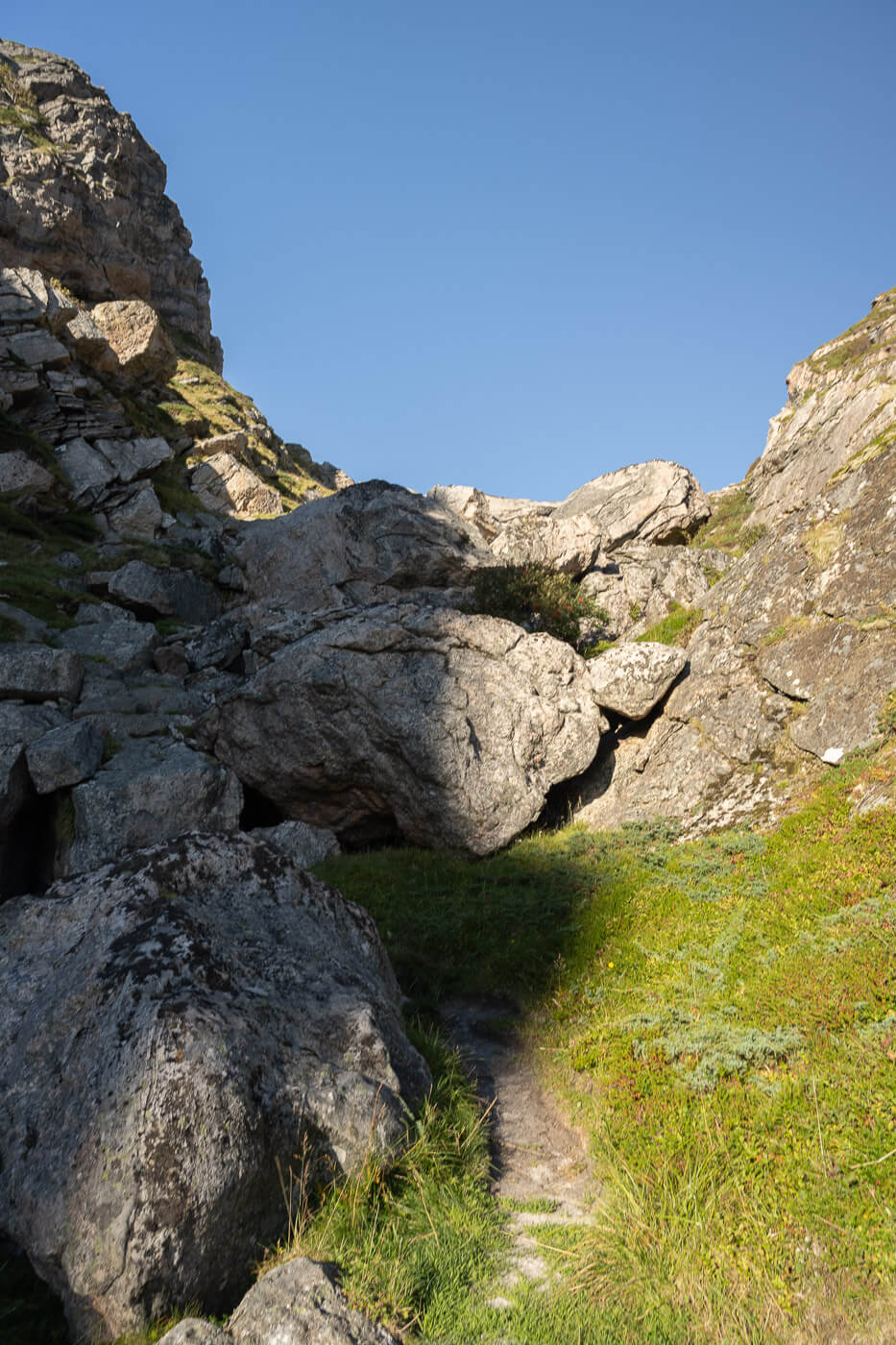
The saddle you’d need to climb over to get to the beach.
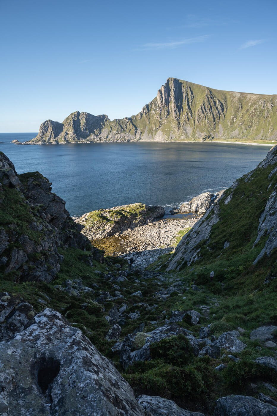
At the top of the saddle, you’ll have the first view of the bay, with Matind in the background
The trail then descends to the other side and down on the rocks. keep following the trail marks painted on the rocks here and there. Also, be careful here as some of the rocks may be slippery or unstable.
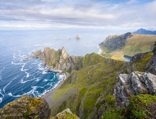
After some rock-hopping, you should get to the southern part of the beach. Here, you actually realize how big the beach really is. It takes a good 10-minute walk to get to the opposite side. The beach is sort of split into a southern and northern side, with a small rocky outcrop in between.
The nicest part, I think, is the northern part. Wider, with some grassy areas ideal for camping, and fantastic views of this small bay.

The trail then follows the coastline and you have the first view of Høyvika in the distance.


Southern Part of the beach, looking back toward the trail.

The northern part of Høyvika offers plenty of grassy areas suitable for wild camping.
To get back up the mountain you need to stay south of the huts and head in the general direction of the only area on the side of the mountain that looks accessible.
The trail is obscured by vegetation, so you won’t see it from the beach. I recommend using the GPX track above. The climb up is steep and requires some scrambling, but otherwise, it isn’t particularly challenging. Still, you won’t want to do it in bad weather.
The gradient then eases down a bit until you find yourself walking on the wide plateau above the beach. The trail then slowly descends again until you reach the other, better viewpoint above the beach.
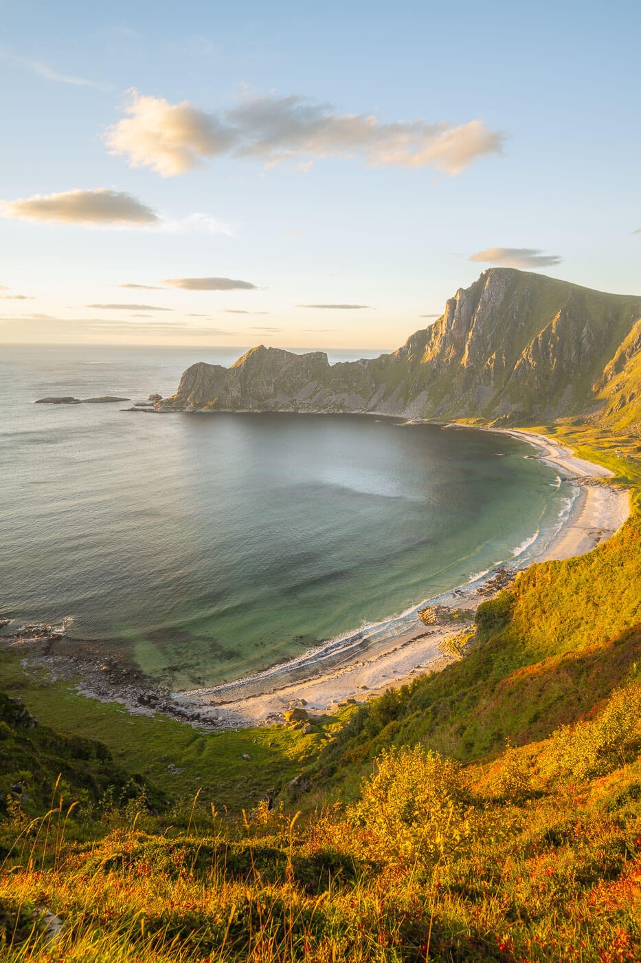
It’s more than worth waiting for sunset here. I sat there for more than an hour in total silence, completely alone, slowly watching the golden hour turn to sunset and then twilight. Pure magic.

To get back up on the mountain, you’d have to hike up. Keep to your right, close to the small outcrop on the right.

As you hike up the view of the beach opens up.
The trail then follows the high plateau toward the southern part of the beach, providing more incredible panoramic views.


Sunset at Høyvika beach.
Høyvika Beach Photos and Photography Tips
From a landscape photography standpoint, the highlight of this hike is the viewpoint above the beach right by the trailhead. Depending on the season, sunlight will hit the beach and rocks at sunset or late afternoon, warming them up while providing great sidelight to the scene. due to the sun’s position, the ideal time to catch such a scene would be late summer or early autumn.
That was my plan when I set out, and I did manage to catch a decent sunset on my second attempt. On the first one, I actually had to fall back while on the beach due to a “sudden” storm hitting the area.
Anyway, you can either plan to do the hike and be there for sunset or, if you just want to shoot the sunset from the viewpoint above the beach, then it takes about 20 minutes to get from the parking area to the viewpoint without passing by the beach. Just start the hike counterclockwise.
That specific viewpoint also provides some interesting bushes for the foreground. This helps add depth to the image, improving the sense of scale which is quite hard to render otherwise. But really. it’s such a spectacular viewpoint that it
The view on the other side, toward Stave, is also really nice!


Where to stay
The Stave campsite is the closest one. A Beautiful, quiet location with hot tubs and the beach right next to it.
You can, of course, also camp on Høyvika Beach within the Allemansretten. There may be some water available, close to the trail that leads back up the mountain. At least there were both times I was there. However, use it only after boiling it, as there are sheep around and on the mountain.
Otherwise, for more conventional accommodations, either Bleik or Andenes offer more choices, and they both are a short drive away.
Additional Resources
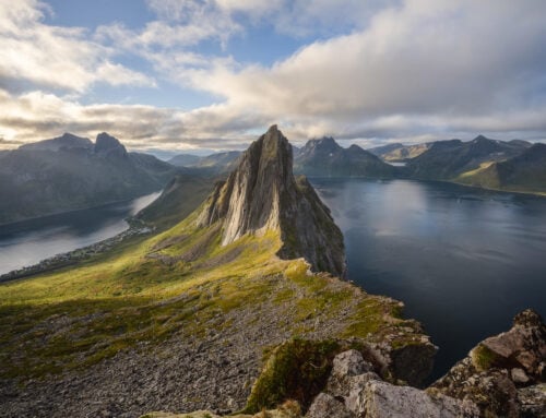
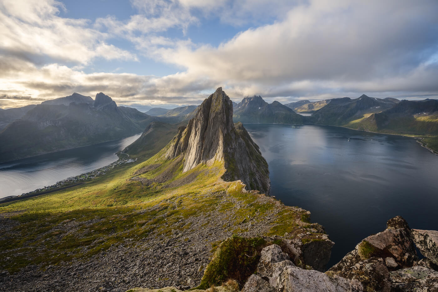
- Do not miss Måtinden if you are on the Island of Andøya. Also, Otervika Beach even though it’s a much harder hike and only possible at low tide.
- Discover the Best Hikes in Andøya
- Check out more Hikes in Norway, with Maps!


Leave A Comment