Map of the Best Hiking and Photography Locations
To start, here is a map of the best locations I’ve visited so far. This will be constantly updated, so check back for more. You can also scroll down for the latest posts.
Quick tips for Hiking and Photography in Iceland.
Iceland does not have a standard trail difficulty rating as other countries have. So while hiking trails in the Highlands are usually reasonably easy to follow and visible, it is sometimes difficult to assess how difficult or dangerous a trail really is, without actually having been there or spoken to someone who already visited those locations. I found myself on paths as narrow as my two feet on the edge of a 100+ meters drop, not mentioned anywhere.

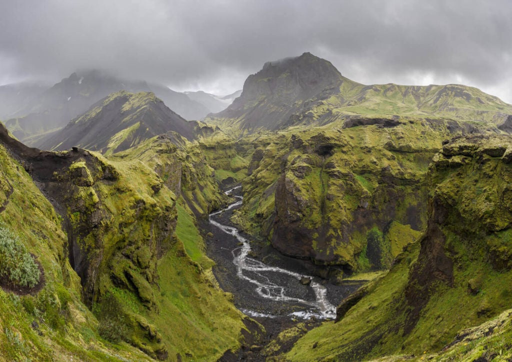
Hvannárgil Canyon in Þórsmörk, home of some beautiful but very dangerous trails.
For this reason, I will only report and post information on places I have actually visited. trying my best to show the beauty of each location through my photos as well as the trail difficulty the best I can.
Also, trails are not marked everywhere. For instance, In places like Landmannalaugarand Þórsmörk, each path is marked with a different color. This allows you to identify each trail and possible detours along the way easily, should you wish to do so.
As I’ve said earlier, if you plan to venture into the Highlands, You should be well-prepared and equipped. Iceland can be as ruthless as it is beautiful. Therefore, familiarizing with some basic safety rules is essential:
- First, the common sense: make sure you are fit enough for the hikes you plan to do. Bring more water and snacks than you think you’ll need.
- Mobile reception can be spotty to non-existent. If you are hiking alone or planning to venture on multi-day trips, leave your travel plan with Safetravel.is. You may also want to bring a dedicated GPS device with you.
- Check the weather before you set off. Even then, make sure you bring a waterproof jacket with you. The weather in Iceland can change fast, very fast, even on a sunny day with no clouds in sight. If you see a yellow alert on the Vedur.is website, best to stay put, or travel with caution.

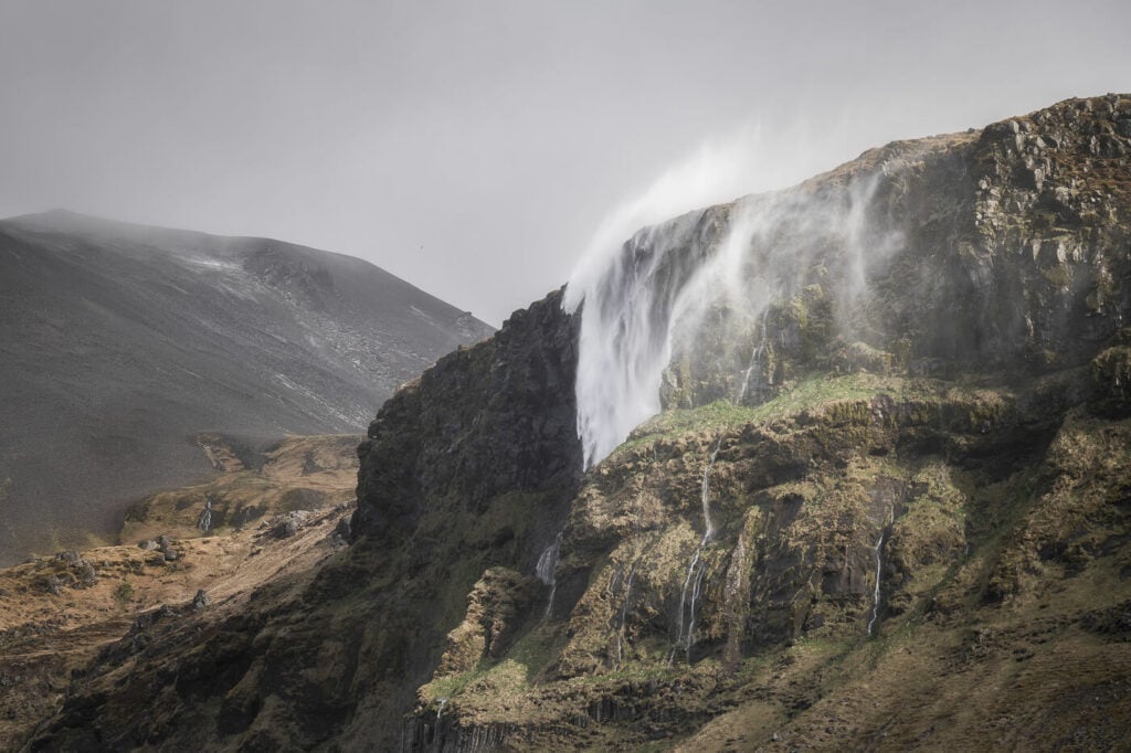
Bjarnafoss, going back upwards and sideways. This was during a “yellow” weather alert, with wind gusts up to 100 km/h. Brutal.
Also, if you plan to eat freeze-dried on your hiking/camping trips, make sure you pack some in your bag before leaving for Iceland. It is almost impossible to find it outside the Reykjavik area or along the ring road. However, if you are coming from a non-EEA country, the meat and dairy products restrictions also apply to freeze-dried food. This means you will not be able to bring freeze-dried food to Iceland if you are coming from outside the EEA area.
For more essential tips, make sure to read the following posts too:
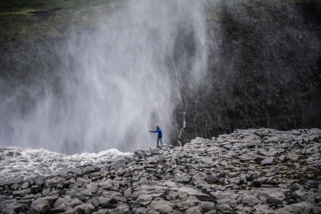
Also, respect trail closures. Areas are usually fenced off with just a rope or sometimes only with a stone. it may seem strange such a high level of trust to non-Icelanders, but rarely closures are enforced harder than that. Quite often closures are not only in place to protect the delicate flora, but also your life.

Tourist risking it all in a closed-off and dangerous area at Dettifoss. Please don’t be that guy!
Lastly, and hopefully, it goes without saying: leave no traces. Or, if possible, leave a place better than you’ve found it.
When To Go to Iceland for a Hiking and Photography trip
The highlands will be completely inaccessible all year round except during Summer. The end of June to early September should be your target dates if you plan to hike anywhere in the Highlands. This, however, varies year by year, depending on snowmelt and road conditions. You can check the road conditions on road.is, and the average f-roads opening times here.