Flögufoss Waterfall – a hidden gem in East Iceland
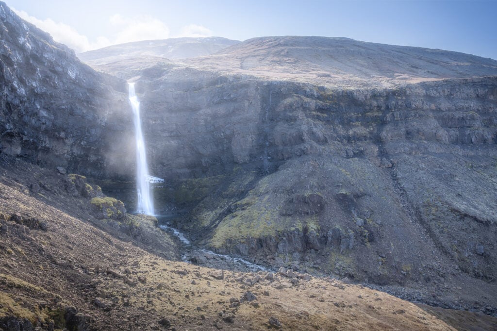
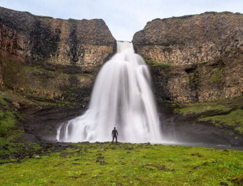
Flögufoss is a beautiful waterfall on the Flöguá River located in Breiðdalur, East Iceland (Austurland). While it’s a 60m tall waterfall, it usually is a low-volume one. Still, its surroundings make it a very scene waterfall. One of those that would fit nicely in any “Elves and Trolls” or fantasy story.
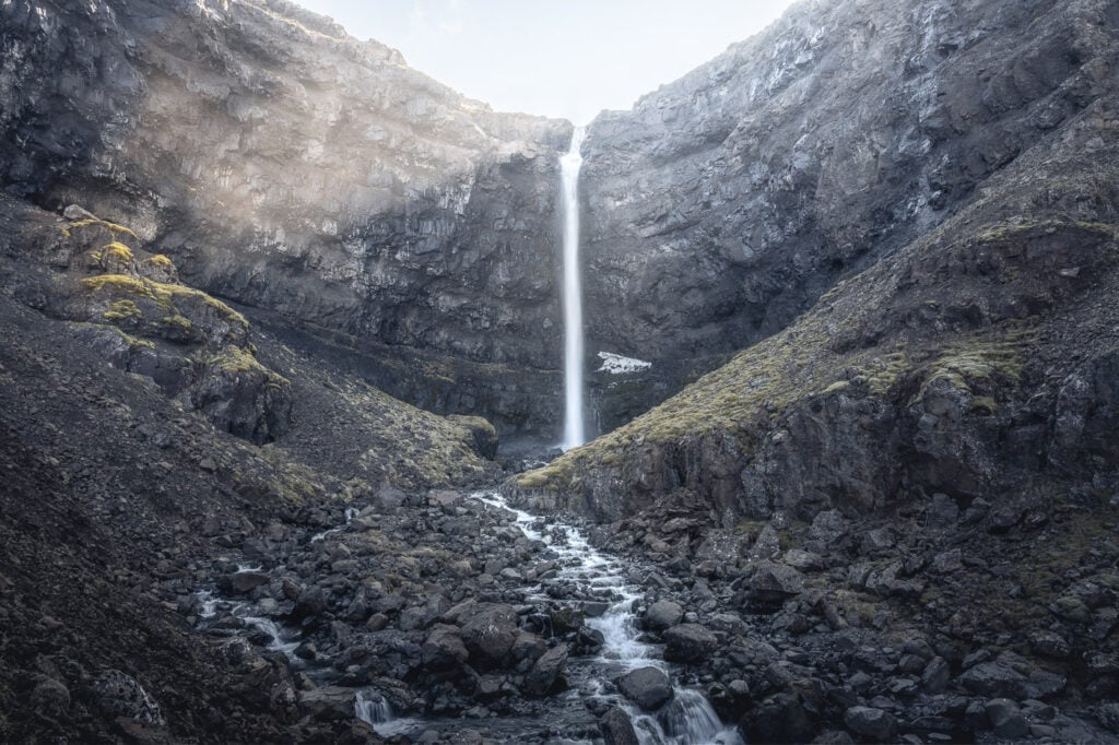
Flögufoss
Strictly speaking, Flögufoss may not exactly be a hidden gem of a waterfall if you are familiar with Iceland. Nonetheless, it neither gets the hype it deserves nor the visitors other waterfalls get. This makes it an ideal location for those looking for an isolated location away from the crowds of the Ring Road.
Going to Iceland? Get a Car Rental Discount!
As a reader of The Photo Hikes, you get a 5% discount on your car rental when booking with Blue Car Rental through this website. The discount will be automatically applied to the booking through the following link
Table of Contents
Overview of the Flögufoss Waterfall Hike
| Max Altitude | 210 m |
|---|---|
| Distance | 2 KM |
| Elevation gain | 120 m ↑ / 120 m ↓ |
| Hike time | 00:30/ 00:45 Hours |
| Hike Difficulty | Easy |
How to get to Flögufoss and Parking
Getting to Flögufoss requires a detour from the ring road. There are no clear signs pointing to Flögufoss, but you should see it from a distance as you approach it. If you are looking for car rental options, I can recommend Blue Car Rental for cars and CampEasy for Camper Vans.
- Driving Directions: the easiest way to get to Flögufoss is from Breiðdalsvík, assuming you have planned to drive through it. In this case, the drive will take less than half an hour. Take Road 95 and then turn into Road 966. If you are coming from Road 1 south, you can also drive through the rough Öxi Pass (Route 939), which would take about an hour. Finally, you can get there from Egilsstaðir in about one hour and a half, through Road 95. This would be the best option if you are coming from the north. Click here for the directions on Google Maps.
- Parking: Parking here is a bit of a guesswork if you take the gravel track that leads to the waterfall. My advice would be to leave it on the main gravel road (road 966) and walk to the waterfall from there, especially if you have a 2WD car with low ground clearance. The gravel track was very rough when I visited and it seemingly disappears into nothing as it gets closer to the waterfall. you don’t want to go any further as off-road driving is illegal in Iceland.
- Public Transport: no existing public transport options
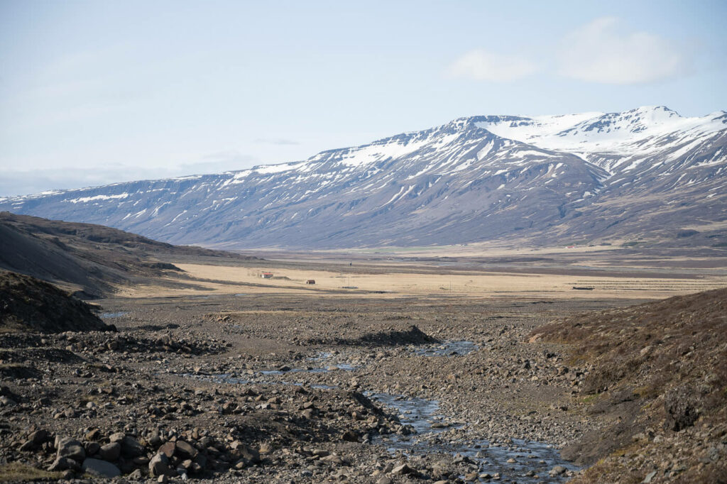
On the hiking trail, looking back toward the access road.
The Flögufoss Trail
The trail isn’t marked and is barely visible at the beginning, as it crosses a dry riverbed. I’d actually imagine the riverbed to be full of raging waters after heavy rainfall like only Iceland can have.
Anyway in most cases you will probably find just a small creek that you can cross without getting your feet wet. That was the case when I visited in May 2023. Once you’ve crossed it you should see a clear trail heading uphill to your left. Follow it to get to a higher elevation point and get a better view of the waterfall.
This is a short out-and-back hike up the side of the mountain.
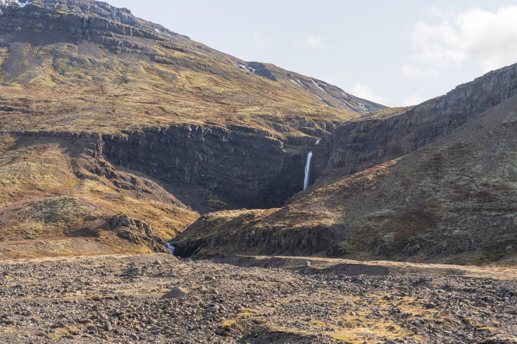
Hiking toward Flogufoss
The Flögufoss Waterfall Photos and Photography tip
While the viewpoints are somewhat limited and it isn’t easy to get close to the waterfall, it is reasonably easy to find different compositions and vantage points.
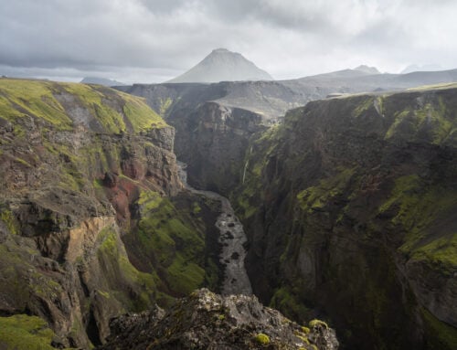
The classic hot is the one with the beautiful and bizarre jagged peaks of Smátindsfjall, the mountain in the background. However, Smátindsfjall is only only visible from one vantage point. So to include them in your photos, you only have one option.
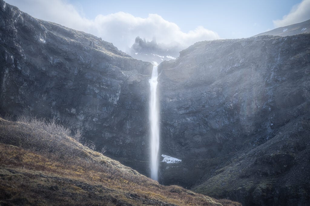
Flögufoss, with the mountain Smátindsfjall in the background.
In terms of light; his waterfall does not get much, if not early in the day. It would be an ideal location for an overcast day or best to visit in the morning when the waterfall catches some direct sunlight.
Ultra-wide lenses won’t be of much use here, as you will not be able to get too close to the waterfall. I took these photos using my 24-70mm lens only. With the late afternoon sun in the back, the contrast was quite harsh, so I had to resort to multiple exposure and merge them in Lightroom.
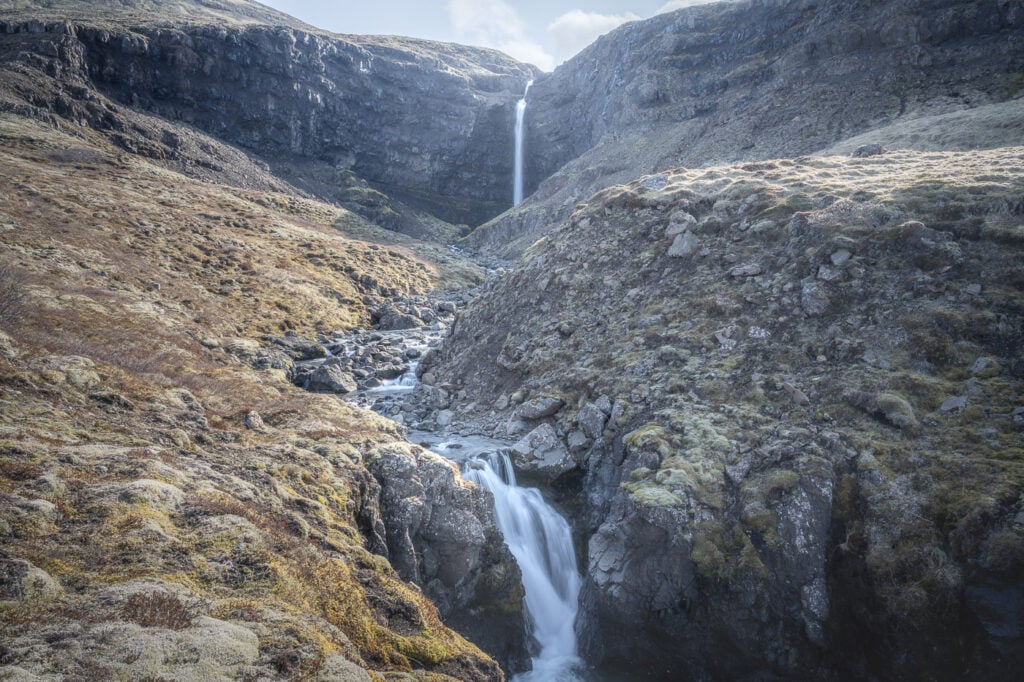
Flögufoss with another small waterfall in the foreground.
Map of the Flögufoss Hike
Here is the map of this hike. Please note the track is one-way only. Additionally, I actually forgot to record it so I had to replot it manually.
Where to stay
There are a couple of guesthouses in the valley around Flögufoss, while the closest hotel is in Breiðdalsvík. Also, Egilsstaðir is the biggest nearby town, but it still takes about 1:30 hours to get there. On the other hand, you could actually include Flögufoss as a quick stop in your itinerary. So it makes sense to overnight in the area here if you either intend to explore the area further or if you are planning to visit
Additional Resources
- If you are visiting East Iceland, you may want to consider adding Klifbrekkufossar or The Gufu Waterfall to your itinerary.
- This stop was part of an 8-day campervan ring road trip. Check it out for more travel inspiration.
- Check out more Photo Hikes in Iceland here.
- Link to the Austurland official website about this location.


Leave A Comment