Krýsuvíkurberg Cliffs Hike, with Waterfall view …maybe! Iceland
The Krýsuvíkurberg Cliffs, also called Krýsuvíkurbjarg, are a series of sea cliffs you can only hike to on the Rekjanes peninsula.
The cliffs are impressive; they develop over a 15km stretch of coast, and they are 40 meters tall.
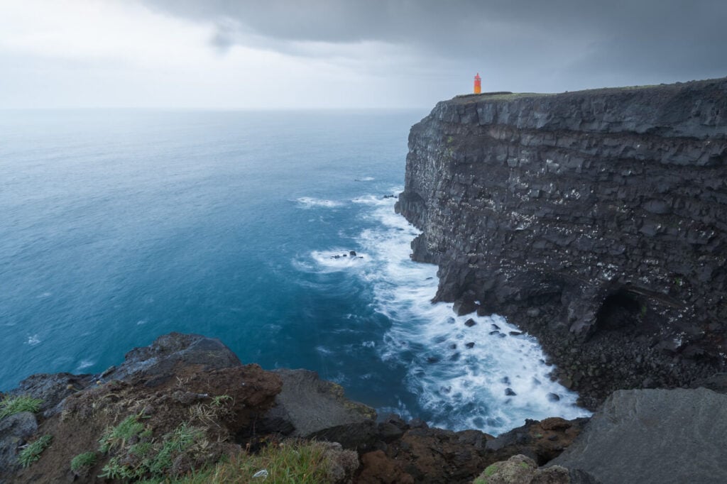
The Krisuvikurberg cliffs and the orange lighthouse.
This is a great hike for a rainy day. The Krýsuvíkurberg Cliffs is a good rainy day hike because you’d have a good chance to see a waterfall falling directly into the ocean..and that waterfall may otherwise not be there.
The waterfall has no official name but is sometimes referred to as Krýsuvíkurfoss. The reason is that the waterfall almost entirely relies on meltwater or rain, so it can dry up.

Krýsuvíkurberg waterfall, also called Krýsuvíkurfoss
Table of Contents
Overview of the Krýsuvíkurberg Cliffs Hike & Map
Hiking the Krýsuvíkurberg Cliffs trail should be possible year-round, weather, snow, and Ice permitting. Still, in the presence of Ice, it is not a good idea to get close to the Cliff’s’ edges.
| Max Altitude | 68 m |
|---|---|
| Distance | 5.46 KM |
| Elevation gain | 50 m ↑ / 50 m ↓ |
| Hike time | 01:30 / 02:00 Hours |
| Hike Difficulty | Easy |
Here is the map of the hike, which ends where the waterfall should be. You can download the GPX file for free from the activity linked below, should you wish to do so.
How to get to the Krýsuvíkurberg trailhead and Parking
Getting to the trailhead is quite easy and doable in a 2WD car. The last part of the road is on a rough gravel road, where the main risk would be bottoming out. So drive carefully and avoid potholes/big ruts.
- Driving Directions: normally, that is when no volcano is erupting on the Reykjanes peninsula, you can access the trailhead from both the east and west sides of Road 427, between Grindavik and Þorlákshöfn. However, due to the ongoing volcano situation. it’s only possible to access the trailhead from the east side of Road 427, or not from the Grindavik side. So you’d either have to come from or from road 42 via Kleifarvatn. Then take road Hælsvík at these coordinates.
- Parking: Free parking is available by the trailhead.
- Public Transport: none available.
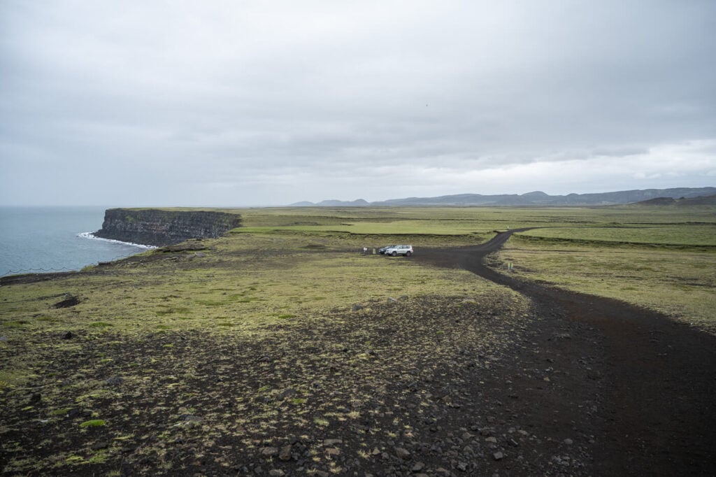
The parking area by the trailhead.
Anyway, you already have quite a view from the lookout by the parking area, so make sure to check that out before heading out for the hike.

View from the Parking Area viewpoint.
The Krýsuvíkurberg Cliffs Hiking Trail
This is an easy hike, with the trail being essentially an old, dirt road. I believe the trail is still used by the landowners to drive to their land, so you may see tire tracks. Keep in mind driving there is forbidden to all other traffic.
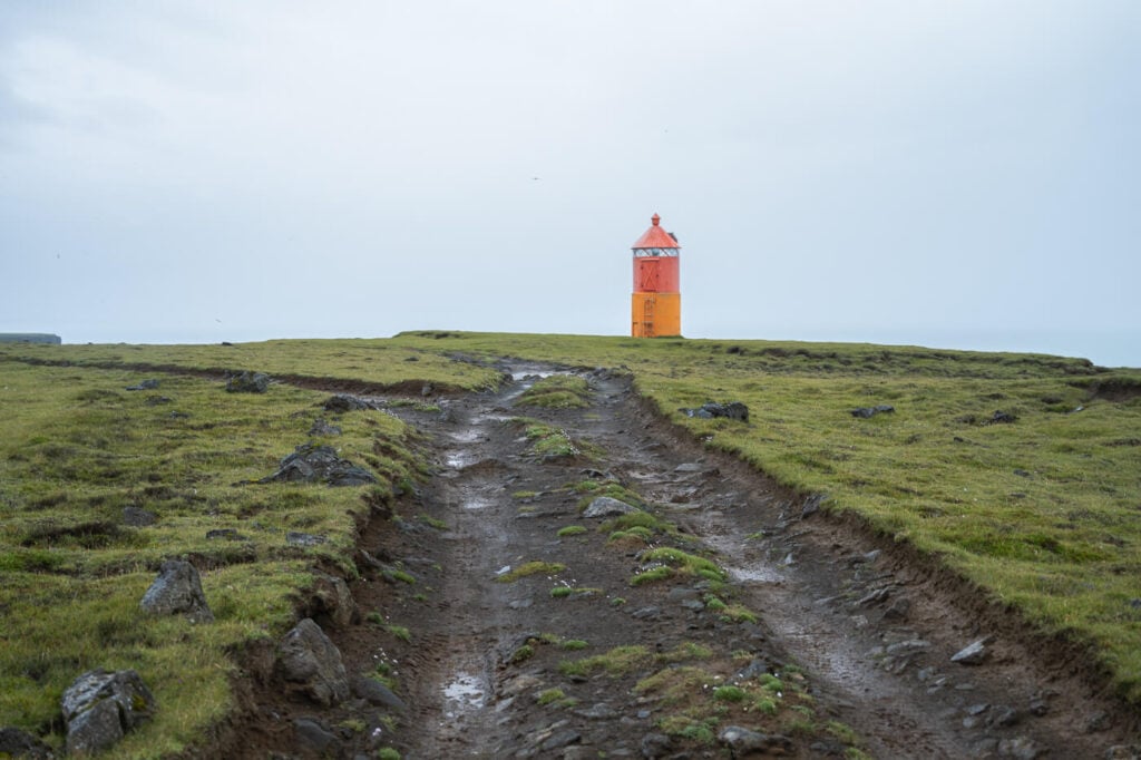
For the most part, the trail is essentially flat, with most of the negligible elevation gain being from the parking area up to the first cliff.
From there, you can continue to follow the dirt track, initially away from the cliffs until you reach the orange lighthouse.
The Krýsuvíkurberg Lighthouse
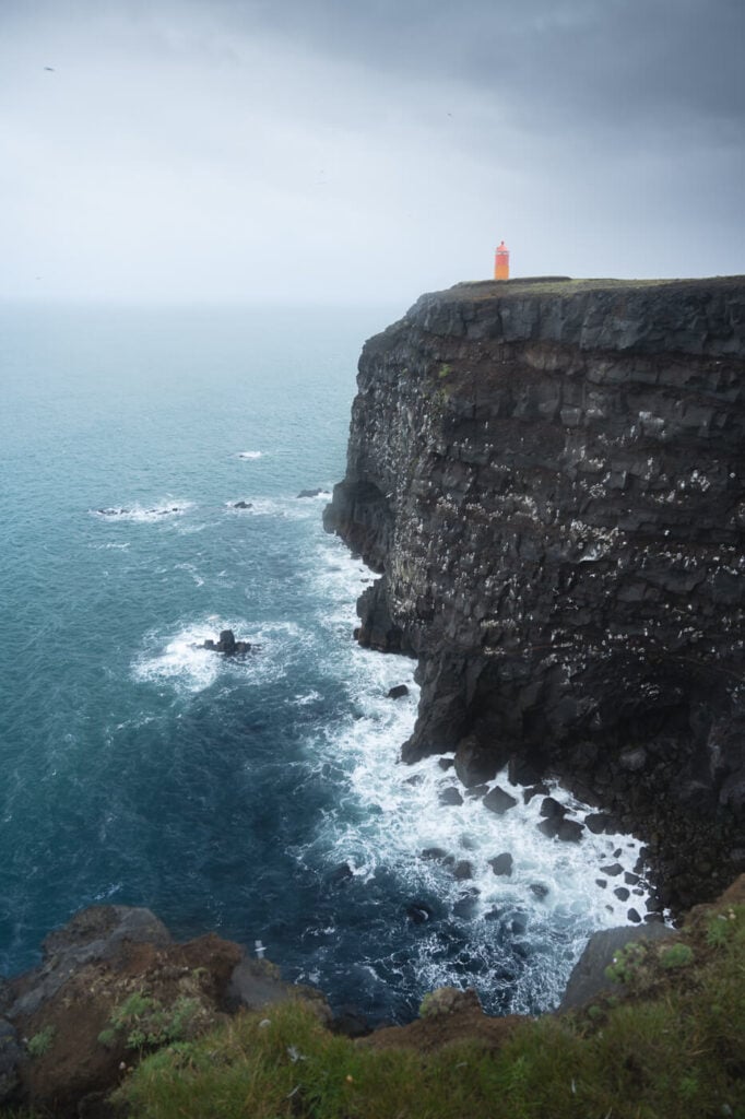
You’ll reach the lighthouse two kilometers into the hike. This is where you already get the first good view of the cliffs in both directions. Be careful to not get too close to the edge –


The most scenic views of the Krýsuvíkurberg Lighthouse are from the eastern side, where you can see the lighthouse, the cliffs, and the waves crashing against them. Plus, several birds.
The Krýsuvíkurberg Cliffs Waterfall (Krýsuvíkurfoss) – an Epphimeral gem of the Reykjanes peninsula
Further down the trail and about 900m farther east to the lighthouses, is where you can find the waterfall that plunges directly into the sea. With no official name and is sometimes referred to as Krýsuvíkurfoss, meaning Krýsuvíkur-waterfall.
You can’t actually see it from afar, even if the waterfall is there. It’s kind of hidden by the cliffs and you’ll only notice the small creek once you’re essentially upon it.
The best views of the waterfall are to its east, you can’t see much from its west side.

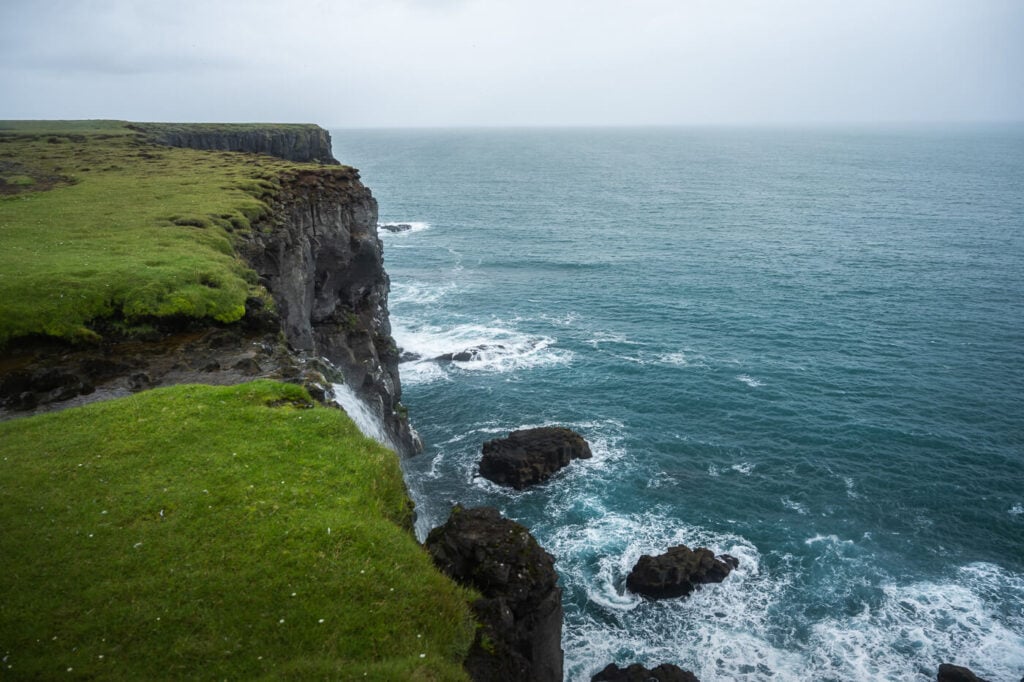
The waterfall is barely visible on the west side.
The hiking trail technically continues toward another junction with Road 427 further inland, but this is typically the turning point of this out-and-back hike.
Krýsuvíkurberg Cliffs Waterfall Photos and Photography Tips
First and foremost, the obvious – this is a great seascape location, like any other stretch of coast with cliffs and a lighthouse usually is.
I find this location particularly nice for cold, rainy days. The orange lighthouse makes a nice contrast with the cold tones of a rainy Icelandic day, which is another reason why I kept this location for a rainy day.

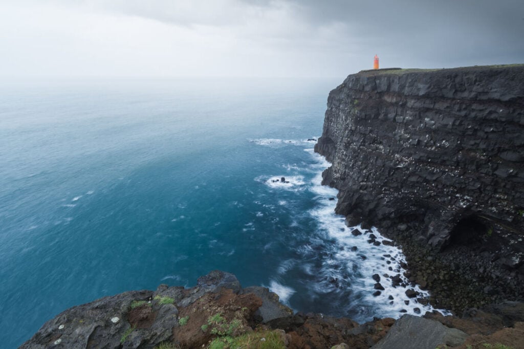
Plus, if there are big waves in the seas, you can get some nice action below the sea and play around with exposure time to capture the movement. Something I tried to do too, but the seas were relatively calm.
The best time to catch the sunset here would probably be in autumn, from mid-September to October. At the height of summer, the sun will set and rise too far north to properly light the cliffs. However, in autumn the sun sets much further south, and since the cliffs face the same direction, they can catch the warm sunset light.
Then, of course, the waterfall. there aren’t many options there, you can only get some photos from the cliffs to the west of the waterfalls. Compositions are also limited because…well, the cliffs

Where to stay
There isn’t much in the immediate vicinities, especially since the volcanic eruption near Grindavik. So you’d have to look either further north or further west. There mainly are some guesthouses on the way to Selfoss, so that is a good choice if you are looking to stay in a quiet area in the middle of nature.
Additional Resources
- For another short, but great hike nearby on the Reykjanes peninsula, check out The Seltún and Hverafjall Hike in Krýsuvík – a very active geothermal area.
- Check out more Hikes and Photo Spots in Iceland (with maps) here.


Leave A Comment