Silvaplana to Maloja Hike – Autumn Hike in the Engadine, Switzerland
It’s hard to find a more scenic autumn hike in Switzerland like the one from Silvaplana to Maloja. And it’s one of the most popular for very good reasons.
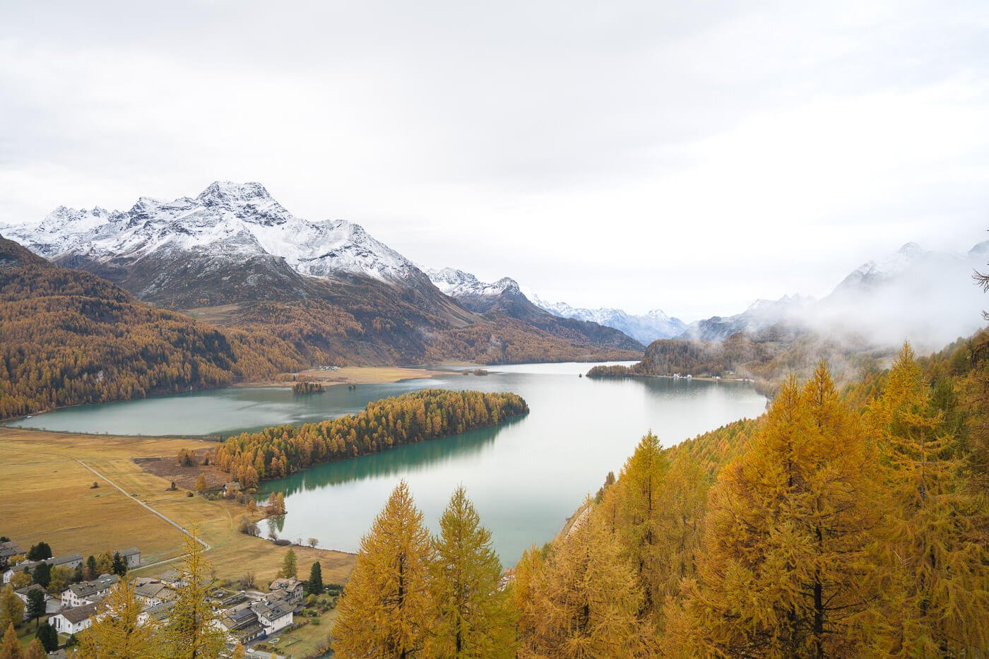
Plaz viewpoint.
At times, it feels like hiking on an alien planet or some sort of alternative reality where the colors of the landscape are just different. When the larches turn golden, the colors are just insanely beautiful.
You can surely do this hike in summer too, and, to be fair, there’s much more to this hike than just the beautiful tint of the larches. Overall, the landscape is amazing in itself, and the architecture in the valley too. So plenty of reasons to do this hike any time of the year the weather allows it.
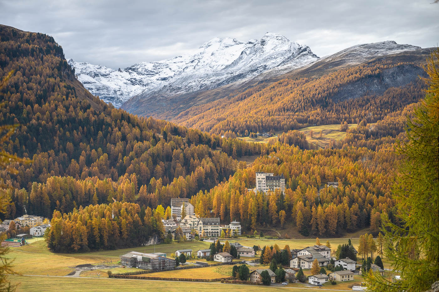
But if you happen to be around in Autumn, specifically from late October to early November, you’re in for a special treat. Tip: there’s a Larches Color Tracker if you are planning to do this hike in Autumn.
Table of Contents
Overview of the Silvaplana to Maloja Hike & Map
The Hike from Silvaplana to Maloja – or the other way around – is a one-way, point-to-point hike. You can start in either of the two small towns and then head back with the frequent bus that runs between them.
It is quite an easy hike, though it also is relatively long. Other than that, the hike does not present any particular challenge.
The trail is Part of the Via Engiadina, the first stage actually, and If you are in St.Moriz and looking for hikes, do not miss this one.
| Max Altitude | 2,040 m |
|---|---|
| Distance | 14,5 KM |
| Elevation gain | 660 m ↑ / 650 m ↓ |
| Hike time | 04:00/ 05:00 Hours |
| Hike Difficulty | Moderate |
Here is the map of the hike. You can download the GPX file from the activity below for free, should you wish to do so.
How to get to the Silvaplana or Majola trailheads and Parking
Located in the Swiss canton of Graubünden (also Grisons or Grigioni), Silvaplana or Maloja can be reached in several different ways.
However, there’s no highway passing through here, that’s also the beauty of the area – so you; ‘ll have to drive some scenic mountain roads :)
- Driving Directions: From the Zurich/Luzern direction, take A3/A13 to Chur, then drive the Julier pass. From Italy, you’d either have to drive to Chiavenna and do the Maloja pass or drive through the Bernini pass, then down to St. Moritz, then Silvaplana. From Innsbruck, drive through Landeck to St. Moritz, then to Silvaplana.
- Parking: the biggest parking area close to the trailhead is next to the campsite – here, that’s where I parked. It’s paid, but hey, it’s Switzerland you usually pay for parking at malls too.
- Public Transport: If you are considering this hike and have also considered the Bernina Express, it’s time to do it, especially if you have the Swiss Travel Pass! You can get to the trailhead by train too, and stop in St. Moritz, which is one of the stops of the Bernina train. From St. Moritz Banhof, take one of the buses to Silvaplana Camping. Check the timetable here. Also, PostAuto Bus 604 drives between Silvaplana and Maloja quite frequently. That would be the same bus you’d have to take to get back to the trailhead if you came by car.
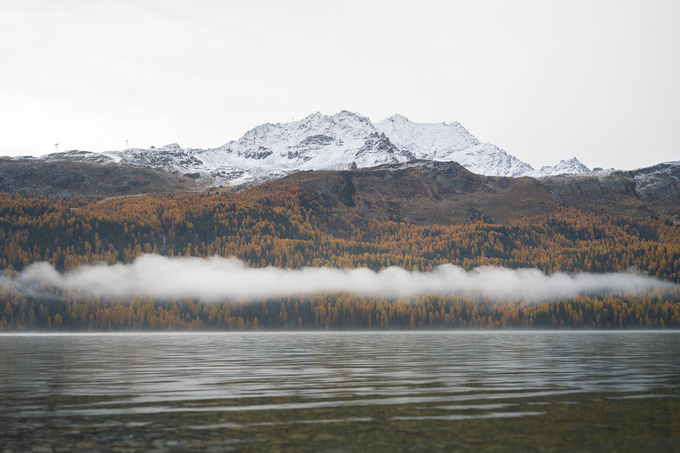
View of Silvaplanersee from the parking area in Silvaplana.
The Silvaplana to Maloja Hiking Trail (Via Engiadina Stage 1)
The hike starts in the small town of Silvaplana and immediately heads into the woods. This trail is also known as the first stage of the Via Engiadina, but that particular trail would start in Maloja.
I chose to start in Silvaplana because it’s closer and this would be true for most visitors, unless you’re coming from Val Chiavenna.
Also, I think the light over the landscape is better if you start from that side. You’d get better sidelight on most of the trail compared to starting in Maloja if you are doing this hike in the morning.
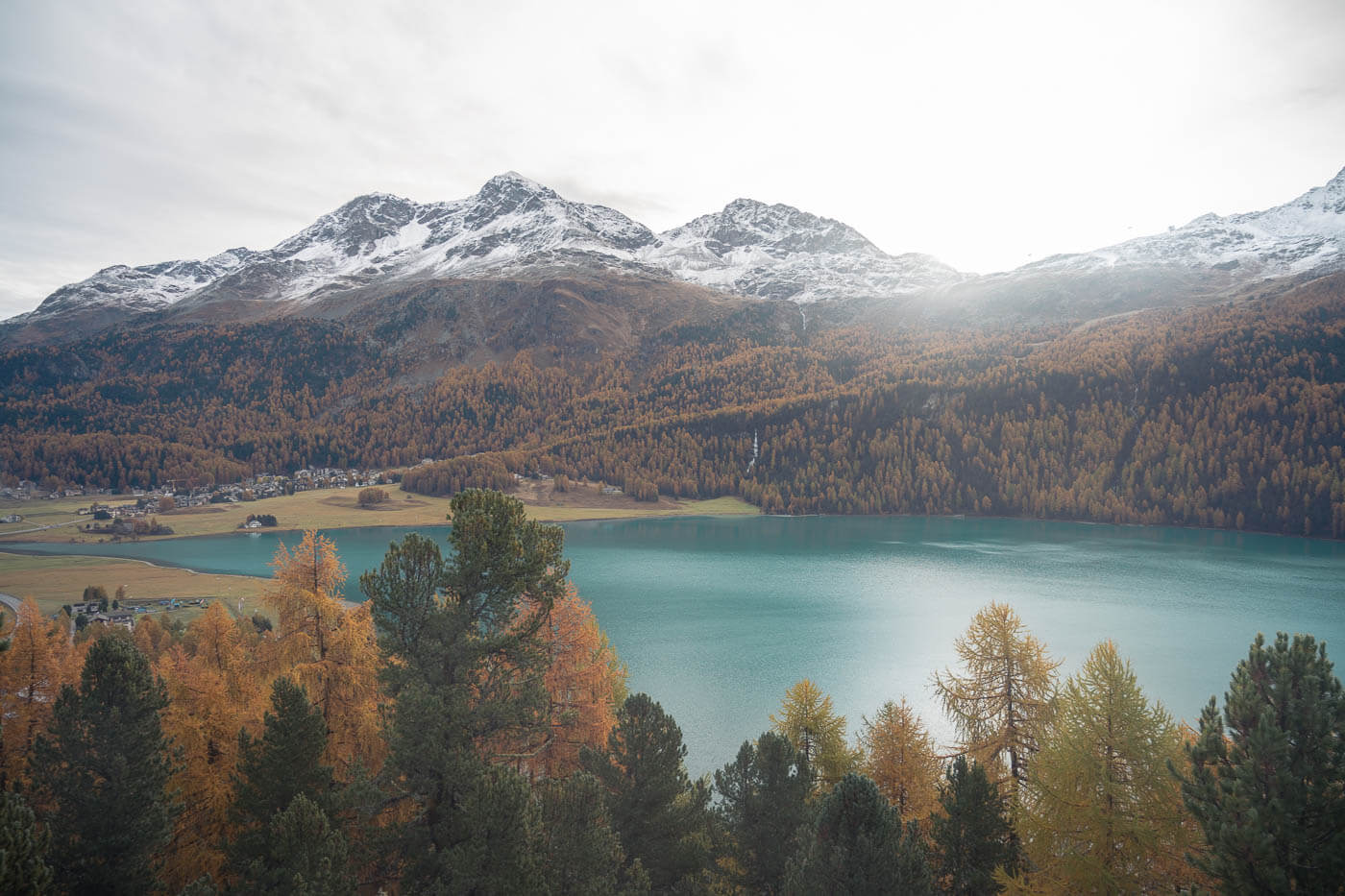
Sun rising above the mountains around Silvaplana.
From Silvaplana to Sils with Plaz viewpoint detour
As you leave town and head into the woods, the trail will gently gain elevation as you make progress through the larches.
While the first part of the trail is initially in the woods, here and there, the views will open up, revealing the beautiful alpine scenery of the Engadine.
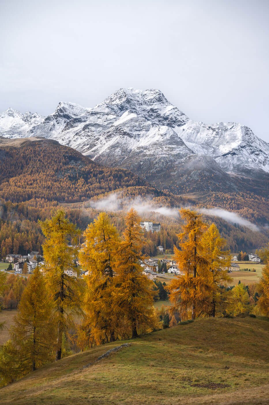
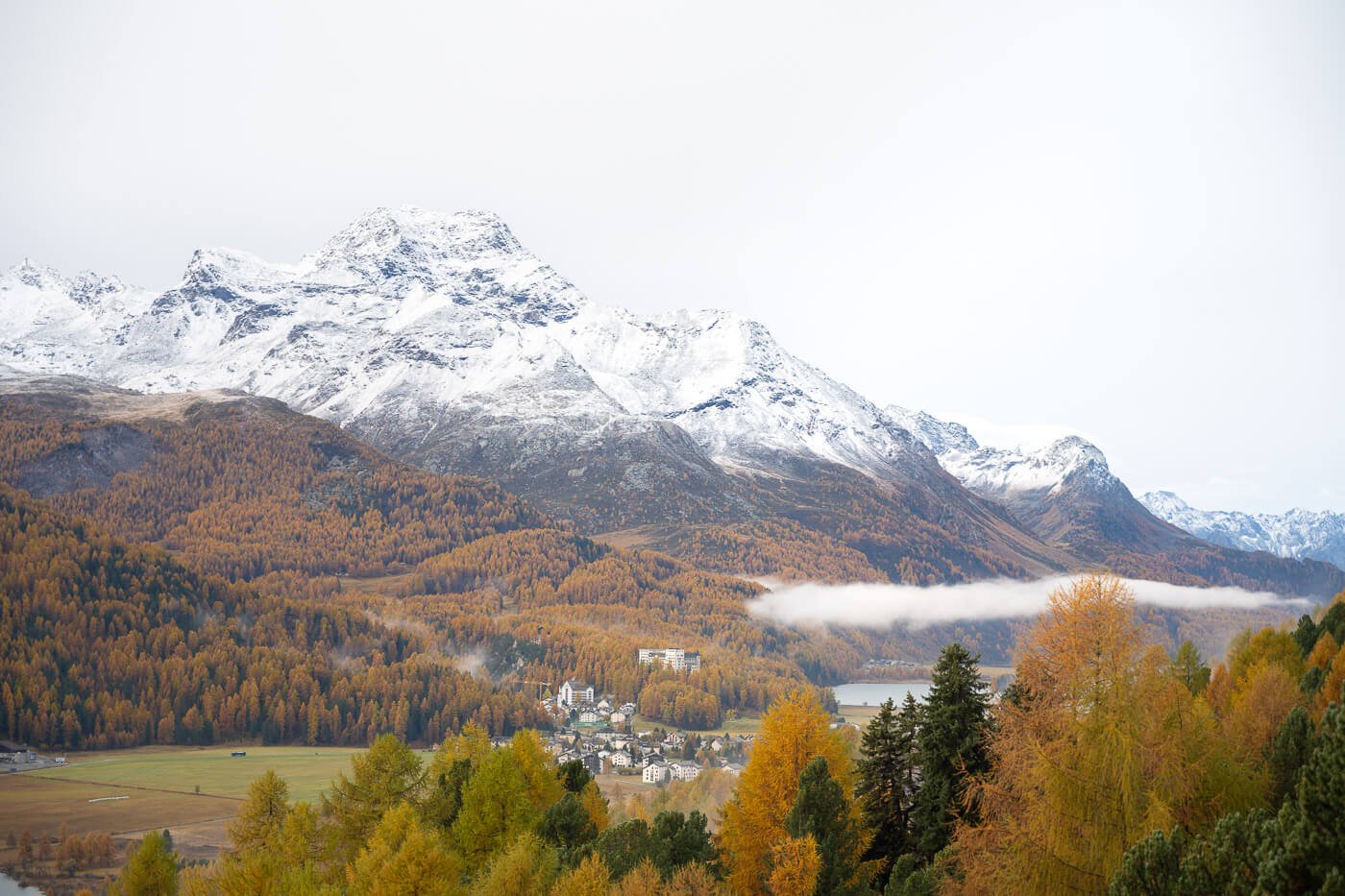
The trail continues on the same way until you reach the detour to a viewpoint called “Plaz”.
The Plaz is a viewpoint that used to be reachable from both sides of the trail. However, due to a landslide in recent years, it’s now only accessible from one side. That means you can reach Plaz on an out-and-back detour from the main trail.
Go there, as the views are some of the best on the trail. It takes about 30-40 minutes in total, and that duration is already included in the map above.
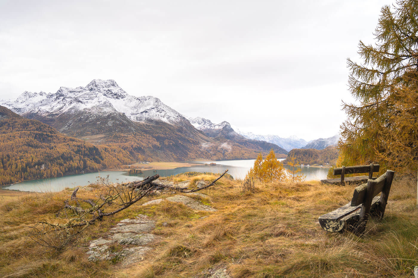
Plaz viewpoint.
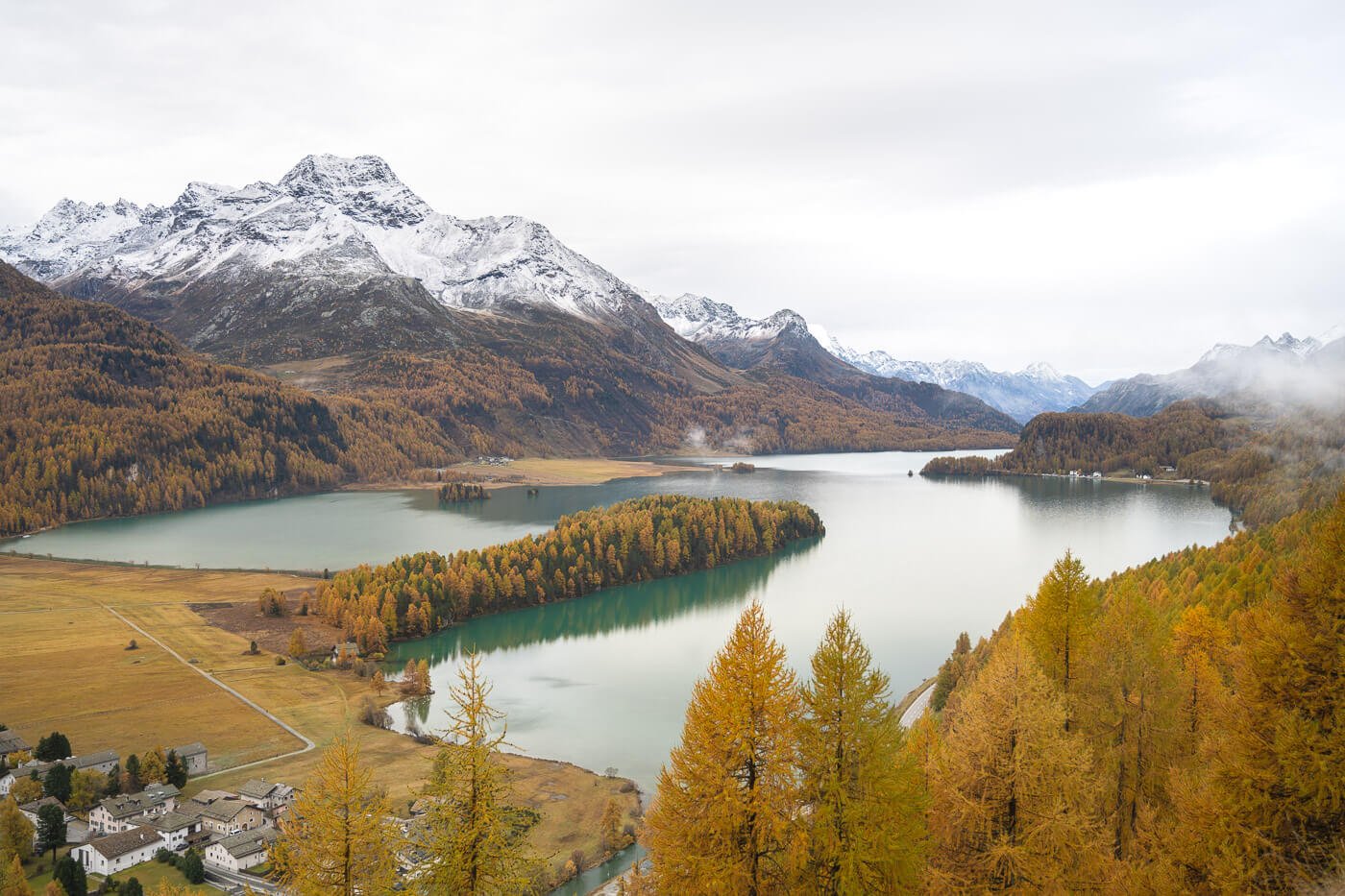
View of Lake Sils from the Plaz Viewpoint.

From the Plaz viewpoint, you have to backtrack to the trail and descend to Sils from there.
Hiking from Sils to Maloja via Grevasalvas
Once you are in Sils, you have to follow a short detour along the main road to circumnavigate the part of the trail that was damaged. It’s a short detour, and soon you’ll be back on the main trail between the larches.

Sils.
Again, the trail will slowly gain elevation, offering more viewpoints above the valley beyond Sils.
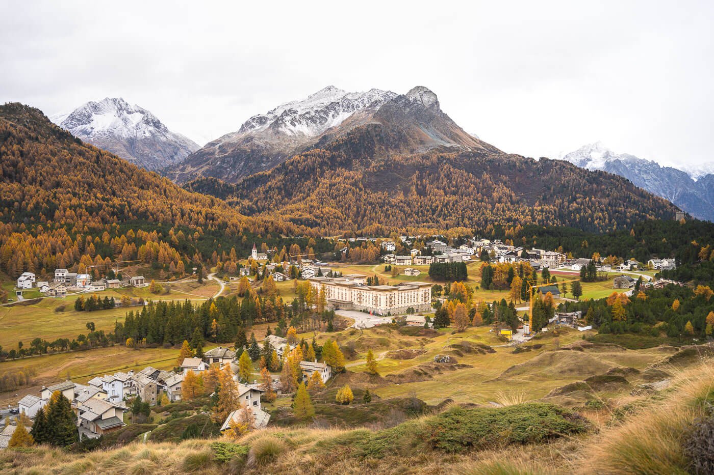
The last part of the trail partly moves away from the lakes and into more rural scenes, no less stunning than on the previous stretches of the trail. This is why I loved this hike – the scenery is amazing throughout.
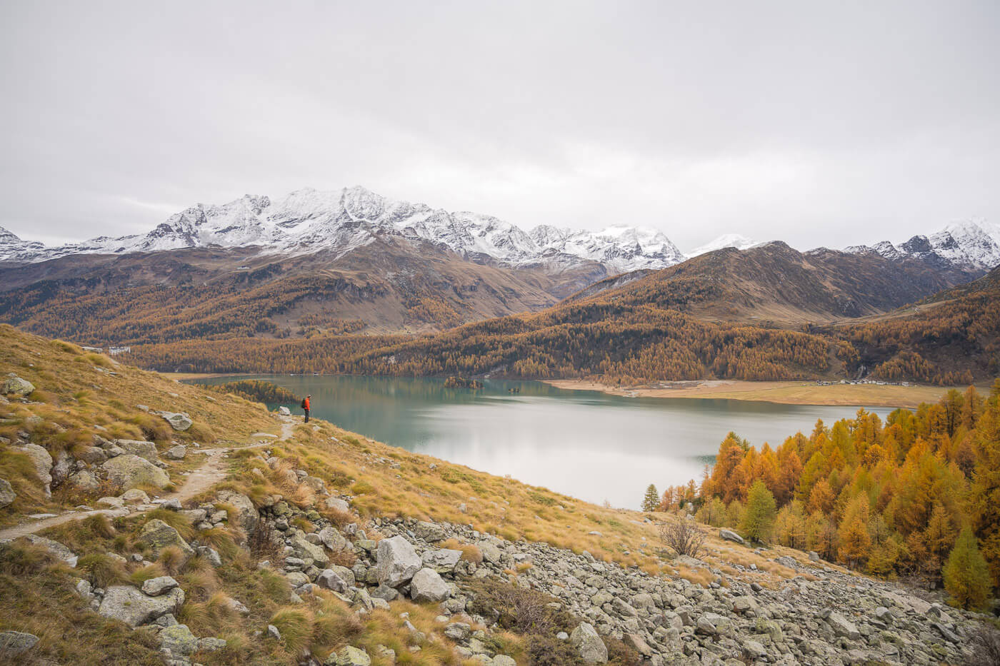
Lake Sils.

This is also where the initially gains elevation until you reach a small ridge, where the trail descends toward the small village of Grevasalvas.
Made mostly of typical stone houses, this is a place where time seems to have stopped – if not for the few cars of residents and a few “updates” to the houses.
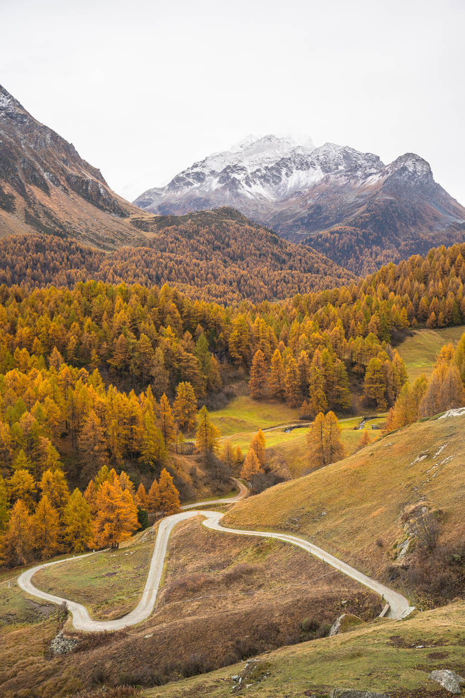
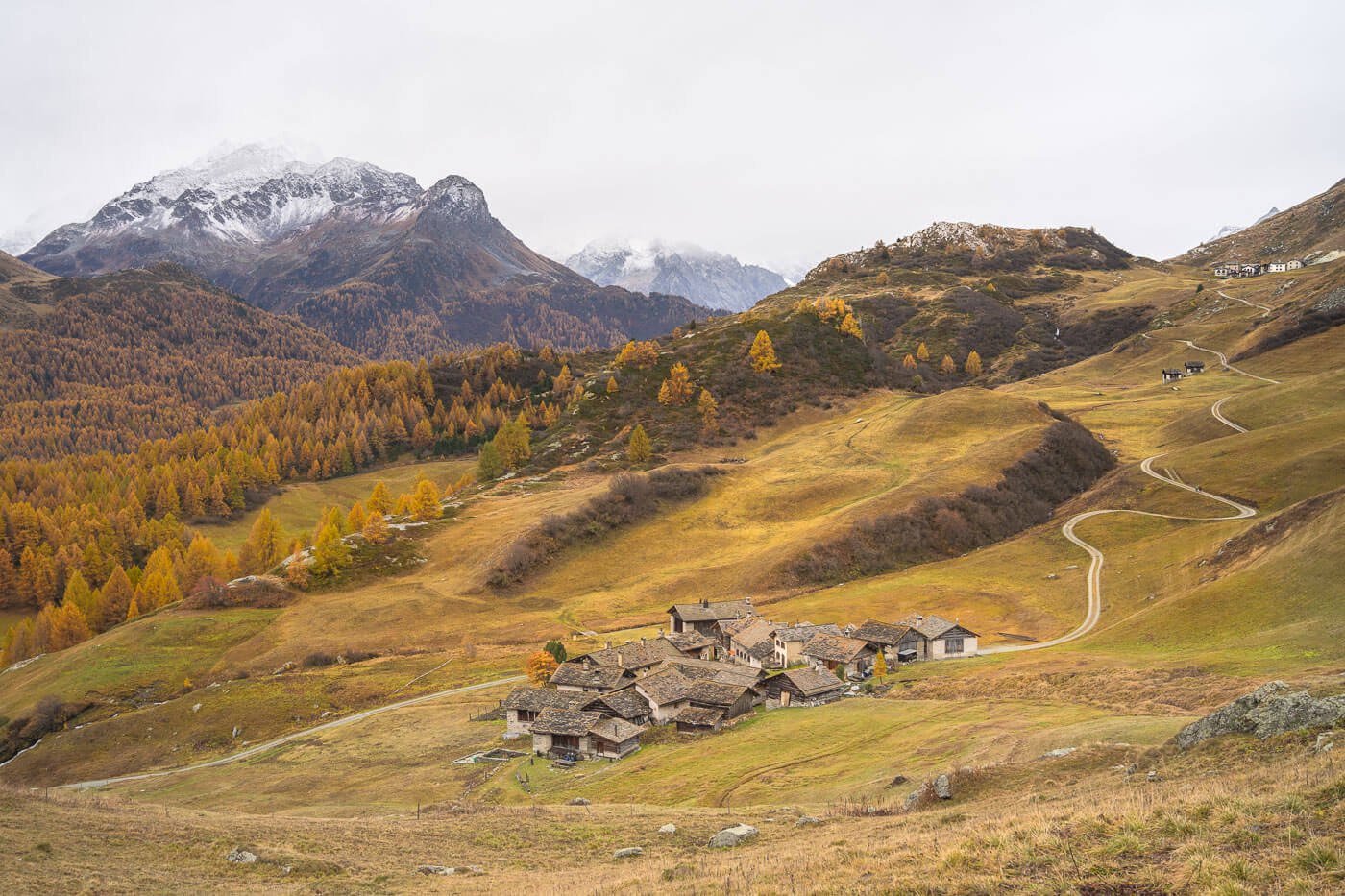
Grevasalvas
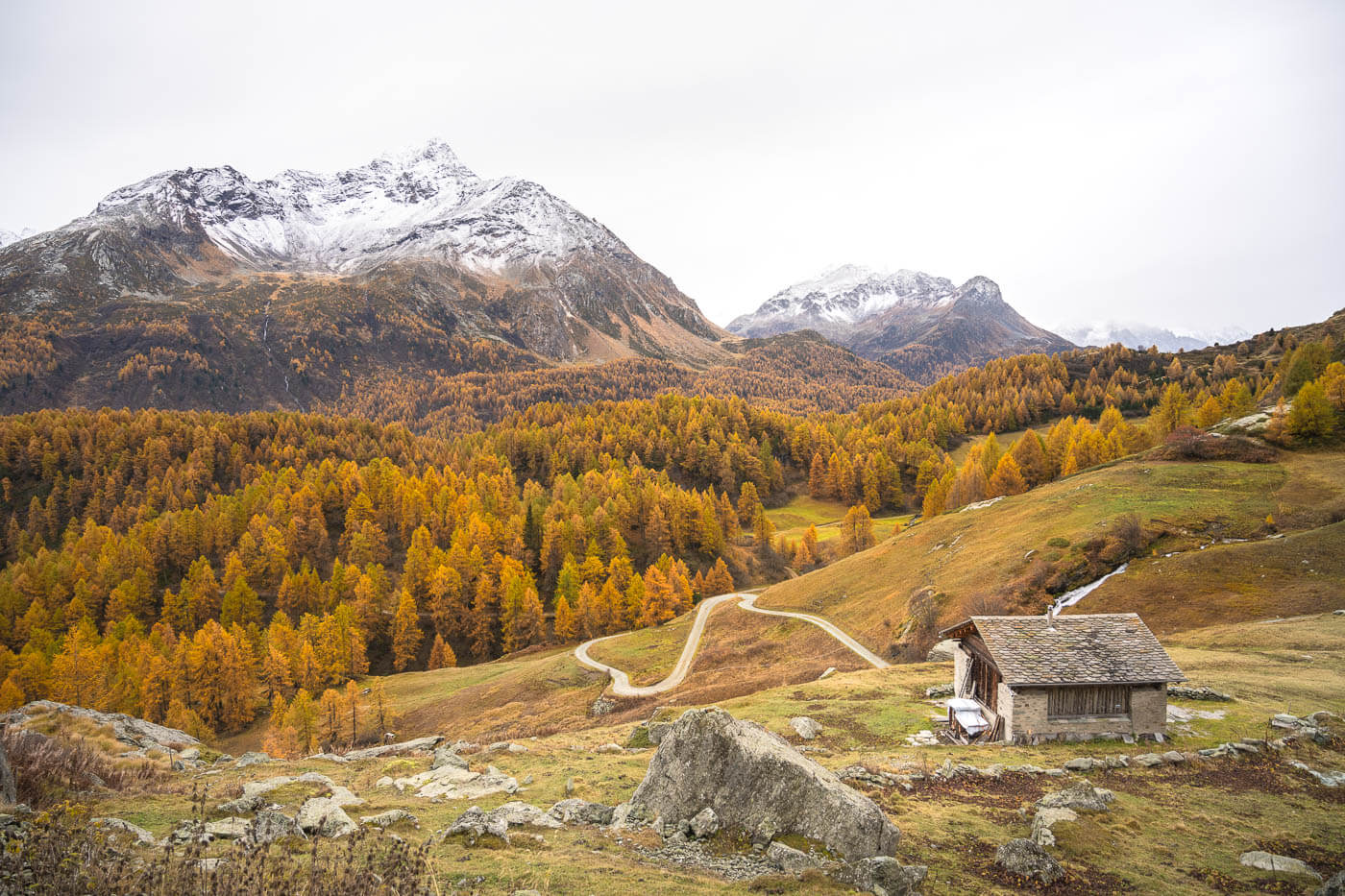
Typical hut around Grevasalvas
the trail here continues on a dirt road for a while. In the last part, the trail turns into a path again and gains more elevation before descending once more toward the small Maloja village, the endpoint of this hike.
You can catch the bus right next to the lake – unless you prefer to explore the small town of Maloja before heading back to Silvaplana.
Photos and Photography Tips
This is, in all likelihood, one of the most scenic Autumn hikes in Switzerland. When the larches turn golden, the whole landscape is transformed into a magic color palette.
Also, what’s great about this trail is how many different, beautiful views you can see. Right from the start, whether in Silvaplana or in Maloja and everywhere in between there are plenty of viewpoints. Really not time to be bored on this hike, with all the views.
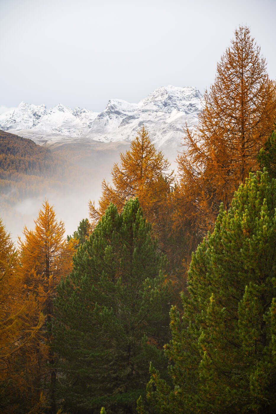
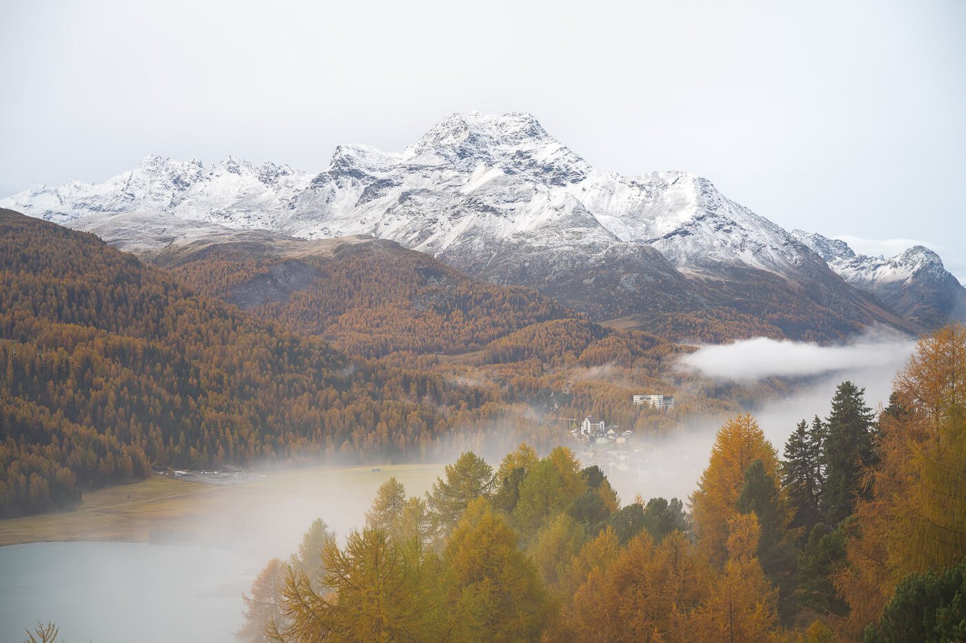
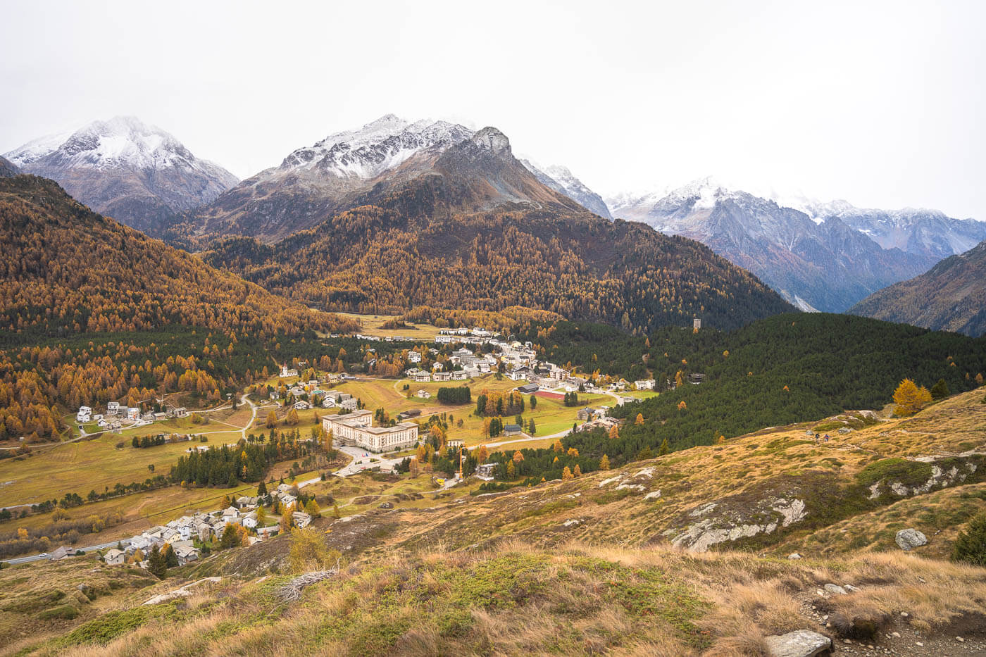
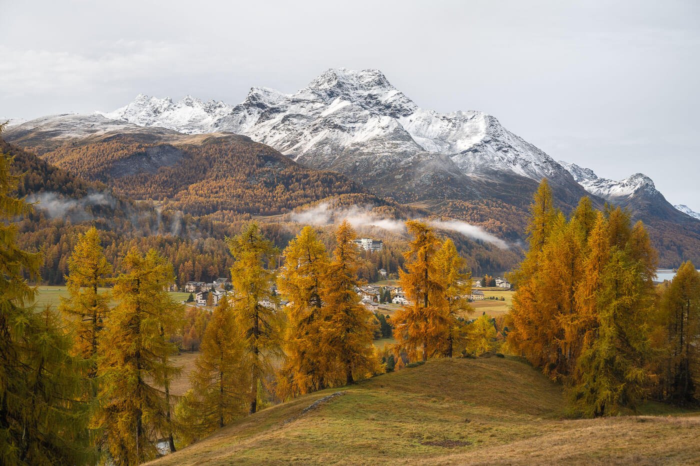


Sun rising above the mountains around Silvaplana.
I did this in the early morning to catch some of the sidelight above the landscape, and that’s a time of the day I’d recommend.
In terms of lenses, I found the 24-70mm range to work best the valley is quite wide, so everything will likely look too small with wider lenses.
If you just want to take the class shot from Plaz, you can just drive to Silse and hike up to Plaz from there. It would take less than an hour, so that’s the better option if you only want the shot from Plaz vs doing the whole hike between Silvaplana and Maloja.
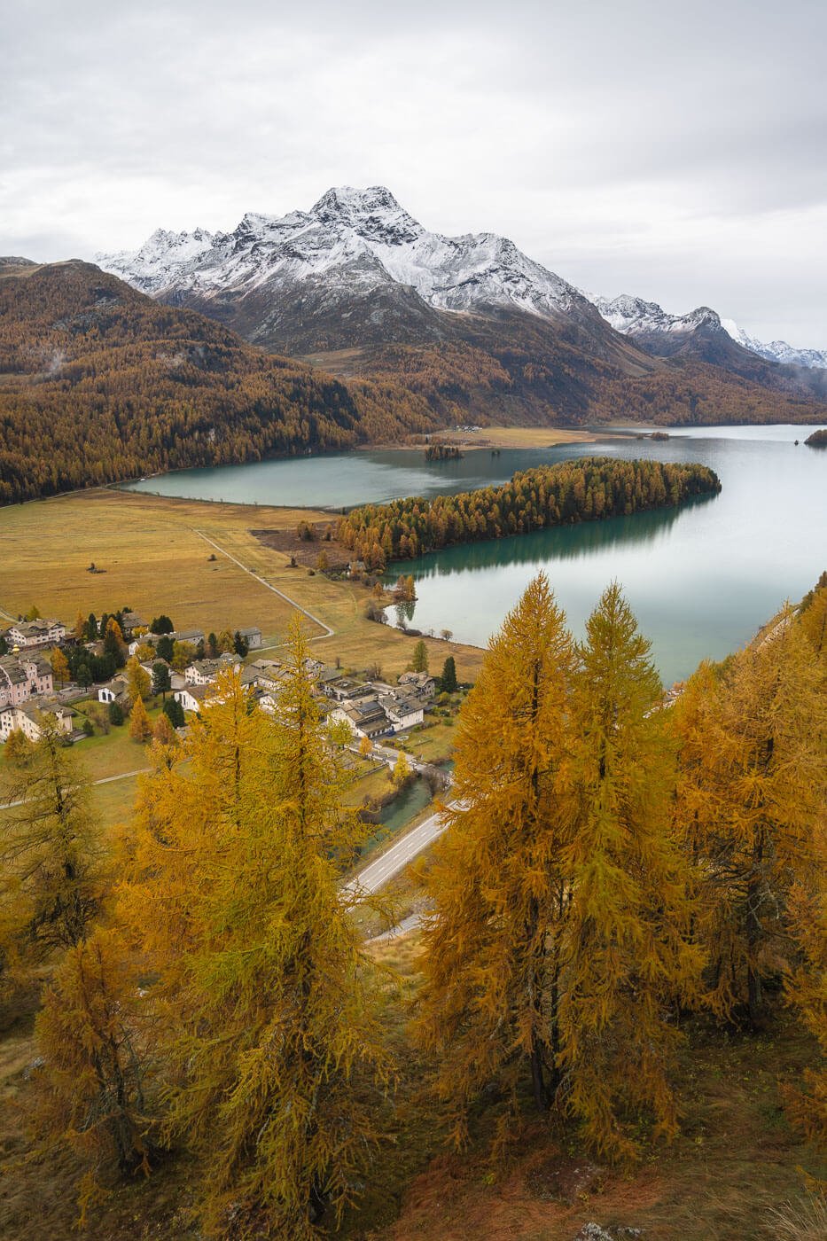
Plaz Viewpoint.
Lastly, do not miss the Maloja Pass viewpoint lime I did – but one more excuse to go back next year.
Where to stay
You can do it as a day hike, but if you plan to explore the area or do more hikes nearby, it’s worth staying somewhere in the Engadine region.
Maloja is a good choice if you want to catch the sunset on the Maloja Pass. Likewise, Silvaplana, St. Moriz, or nearby towns are all good choices for exploring more of the area.
Additional Resources
- For a comprehensive overview of Hikes in Switzerland, check out my main Switzerland page.

Leave A Comment