Hike to Stórurð – Giant Boulders in a Turquoise Lake, East Iceland
The Hike to Stórurð is still a bit of a hidden gem in the East of Iceland, a region that is actually full of them.
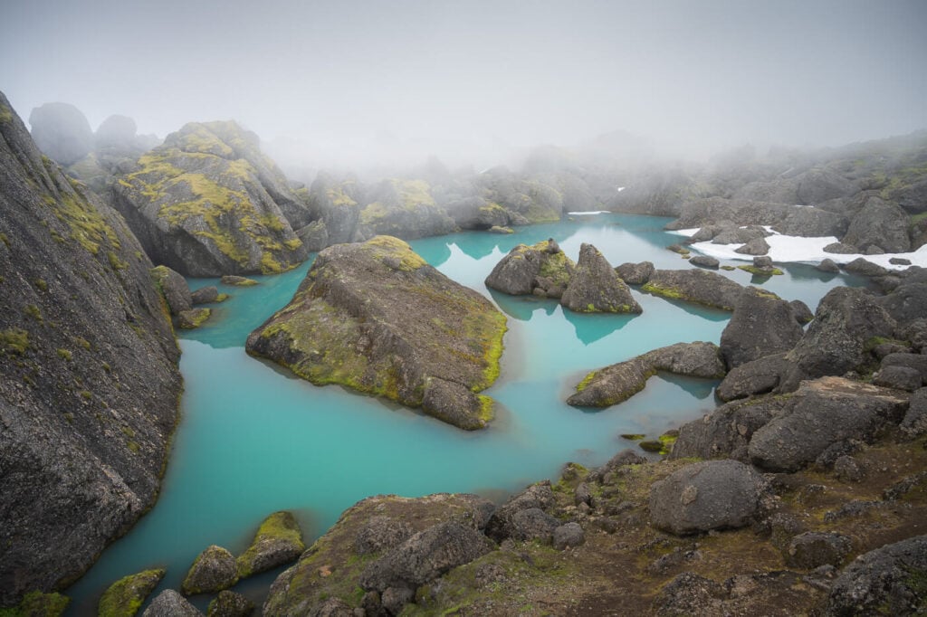
Meaning “The Giant Boulders”, this is what you will actually find at Stórurð. Giant boulders in a turquoise, small lake.
Stórurð
Part of the Dyrfjöll range, the giant boulder has likely been deposited there by retreating glaciers. Still one has to wonder what kind of potentially semi-catastrophic events could have caused so many giant boulders to amass here.
This is one of those locations where you can sure take nice photos, but no photo will render the experience of seeing those giant boulders in the small turquoise lake with your own eyes.

Going to Iceland? Blue Car Rental Discount!
As a reader of The Photo Hikes, you get a 5% discount on your car rental when booking with Blue Car Rental through this website. The discount will be automatically applied to the booking through the following link
Table of Contents
Overview of the Stórurð Hike & Map
To reach Stórurð you can get to one of the three different trailheads, along road 94.
Coming from the North side of road 94, the first trailhead is the one by the Visitors Center. This is the longest trail (15KM/350m elevation gain). Then there’s the Vatnsskarð trailhead (13km/680m elevation gain), which is also the one I took for the hike I’ll decribe in this post. Then there’s the Njarðvík trailhead, which is also the shortest trail (10km, 400m elevation gain).
If you wish to do so, you can do it as a loop hike including one of the two other trails too.
| Max Altitude | 642 m |
|---|---|
| Distance | 13.4 KM |
| Elevation gain | 680m ↑ / 680m ↓ |
| Hike time | 03:30/ 04:30 Hours |
| Hike Difficulty | Moderate |
Here is also the map of my hike to Stórurð. you can download the GPX file for free from the activity linked below, should you need it. This is the hike from the Vatnsskarð trailhead.
How to get to Stórurð and Parking
All the main trailheads are located on road 94, which you can reach via Egilsstaðir if you are coming from the south, or via a detour from the Ring road if you are coming from the North.
- Driving Directions: from Egilsstaðir you have to keep driving north on Road 94, almost to the coast. you just need to keep following the road to any of the three trailheads. From the north, you have to leave Road 1 and take Road 925 right after crossing the bridge above Jökulsá á Brú. Keep following it for a while until you have to turn onto Road 944. Follow it until you join road 94 too.
- Parking: free parking is available at any of the trailheads
- Public Transport: none available.

The Vatnsskarð Trailhead.
The Stórurð Hiking Trail
All in all the hike is quite long but not particularly difficult. The trail is nicely marked with yellow trail marks, and it’s very easy to follow. You have quite a steep bit right at the beginning, and a bit of a rocky trail.
Then, the trail gradually flattens out with some ups and downs. you’ll pass a variety of landscapes on this hike, from scree to green meadows, snowfields, and a few small creeks to cross.
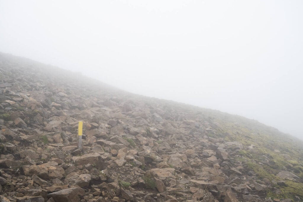
The first part of the trail goes over a relatively steep, rocky mountain.

Most of the creeks have small bridges across them. One was kind of funny it looked like it was broken but it was built that way. Slightly curved and crooked, but extremely solid. well done whoever built it :)!

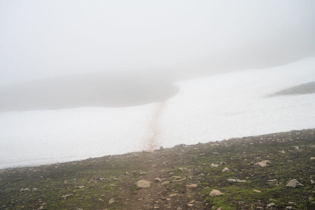
Anyway, I did this hike entirely in the fog, so the views were limited to about 50 meters around me in every direction. Not much. As I approached Stórurð, the fog opened up in the valley below me, showing the view of the massive boulders field with the turquoise pool in the middle.
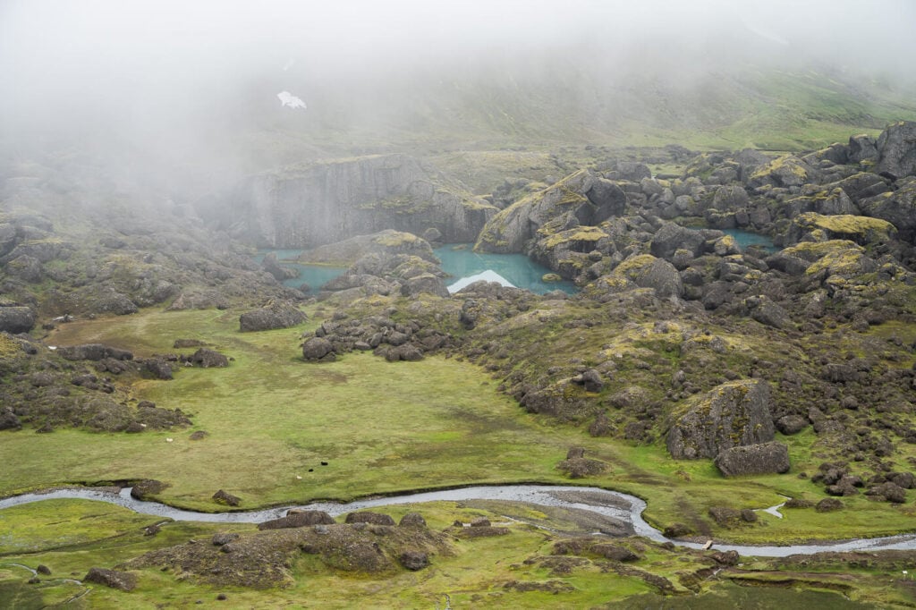
View from the upper viewpoint on the last part of the trail.
From there, it is quite a steep descent into the valley below – and a very steep climb back to return to the parking area. However, you get a good sense of the scale of the boulders from the top of the last hill.
You can get a good idea of the steepness of the last part form the image below, where I included a hiker for a better sense of scale.

The last part of the trail leads to a circular trail aorund the boulder field and up to the viewpoint above the small, turquoise Stórurð lake. the latter is pretyt much the best viewpoint of the lake.

The last part of the hike to Stórurð.

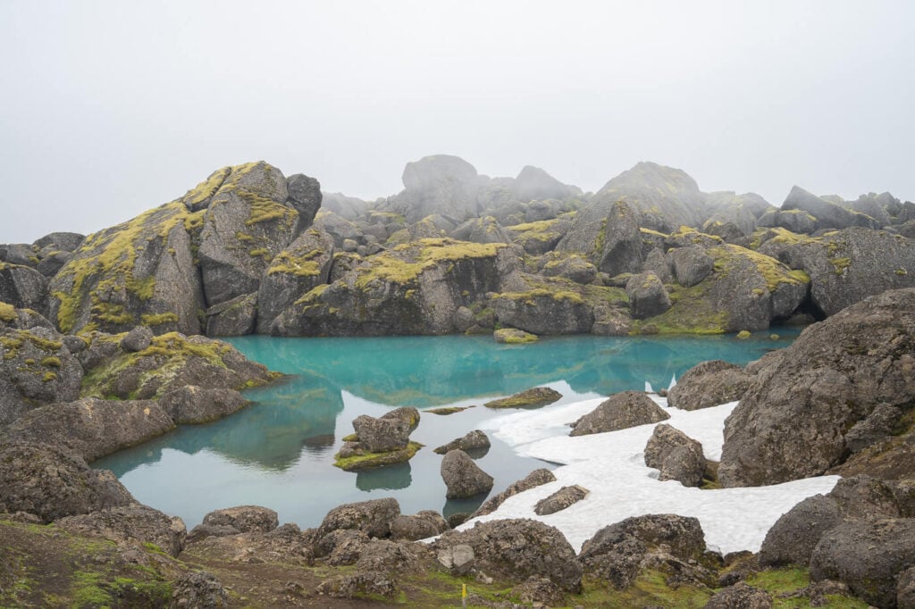

Note there can be snow on the trail until late in the season. It mostly on how cold it is and how much snow fell earlier late in the season.
I still met snow, even in August, which was a surprise. Crampoons or microspikes not required unless you are attempting this hike early or late in the season.
Stórurð Photos and Photography Tips
Everyone comes here for that one shot of the still turquoise waters with the giant boulders. In that sense, it helps having a wider lens, at least 18m full frame. A 24mm full-frame lens will barely fit the lake.
Compositions and viewpoints are somewhat limited. I guess sthat is also the main reason why all the shoots look very similar. there’s not much space for different compisitions around the main viewpoint.


Also, make sure you have your polarizer. It will help to bring out the turquoise color of the small lake. On top of that, it will help reduce reflection and glare on clear days.
If you can definitely capture Dyrfjöll mountains – this was my plan too, but the fog had other plans. Anyway, despite the reduced visibility, I still think the fog works well here. It helps to focus on the turquoise waters and the giant boulders, which are the main attractions of this location.
Last note – The Instagram spot is even marked on the on-site map :)!
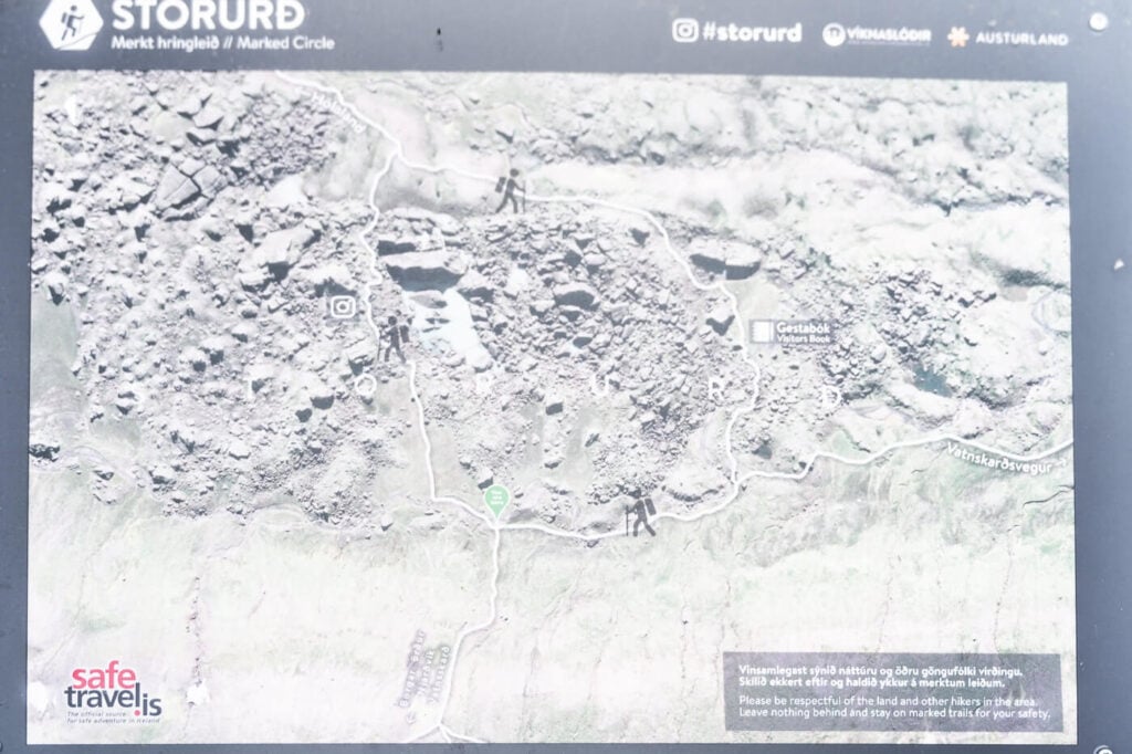
The info board right next to the Stórurð boulders, shoing the circular trail and the “instagram” spot.
Where to stay
Stórurð is a bit off the main paths, but there are a few guesthouses around this area. This is a good option if you are looking for a quite place in the contryside to spend the night at.
There also are a few more guesthouses closer to the Ring Road, but for hotels you’d have to get back to the Egilsstaðir area.
Additional Resources
- If you are in the area, check out Stapavik. It’s a hike on the coast to a small cove with a waterfall.
- Check out more Hikes in Iceland (with maps) here.

Leave A Comment