Markarfljótsgljúfur Canyon Hike – East and West Viewpoints, Iceland
Located in Southwest Iceland, Markarfljótsgljúfur is a Canyon you can hike on both its West and East sides.
The canyon is about 200m deep and around 4km long. Needless to say, the views are beyond impressive. That, combined with the pristine environment makes this hike one of the best Canyon hikes in Iceland.

Markarfljótsgljúfur East Side Viewpoint
The Canyon is of absolutely epic proportions. And, with a backdrop of such a beautiful mountain like Hattfell, the views are even better. You can drive to the trailhead on either side via Road f261, but you’ll need a car suitable for f-roads (more below).
Also, while the Canyon is still somewhat of a hidden gem, it is one of the well-known attractions along the Laugavegur trail. If you are doing the Laugavegur or planning to do it, you can add the short detour to the east side of the Markarfljótsgljúfur Canyon to your itinerary. I doubt you’d regret it.

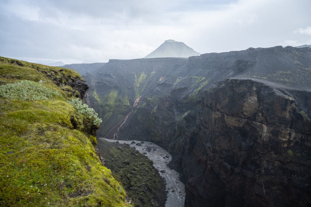
One of the viewpoints on the East side of the Canyon.
Going to Iceland? Blue Car Rental Discount!
As a reader of The Photo Hikes, you get a 5% discount on your car rental when booking with Blue Car Rental through this website. The discount will be automatically applied to the booking through the following link
Table of Contents
Overview of the Markarfljótsgljúfur Canyon Hike & Map
The hikes on either side of the Markarfljótsgljúfur Canyon are easy, with no challenging sections. However, there is no observation deck, and all the viewpoints are quite exposed. Practice caution, and as usual, do not walk on moss or off-trail.
The main challenge will be getting there, as you’ll need a car suitable for F-roads – and a larger 4WD car to reach the East Side. Anyway, it’s possible to do both the west and east sides of the canyon in one day. I did so, leaving in the early morning and returning just around lunchtime.
| Max Altitude | 526m m |
|---|---|
| Distance | 2.97 (West) / 4.43 (East) KM |
| Elevation gain | 50 m ↑ / 50 m ↓ (West) – 100m ↑ /100 m ↓ (East) |
| Hike time | 00:45/ 01:00 Hours (West) / 01:15/ 01:30(East) |
| Hike Difficulty | Easy |
Here is the map of both hikes too. You can download the GPX files for free from the activities linked below, should you wish to do so.
East:
West:
How to get to Markarfljótsgljúfur Canyon and Parking
Both locations require a bit of travel, and you can only get there with cars suitable for F-roads. Check with your rental agency if you can drive this road, as you will need to drive on Road Emstruleið F261 to get to both.
Road Emstruleið F261 is not the most difficult highland road, but it is very rough. However, getting to the west viewpoint is usually doable with any car allowed on f-roads, though not down the rough track next to the Canyon. To get to the East viewpoint and trailhead, you’ll need to get to the Emstrur Botnar hut, which is a tougher drive, especially the last part.
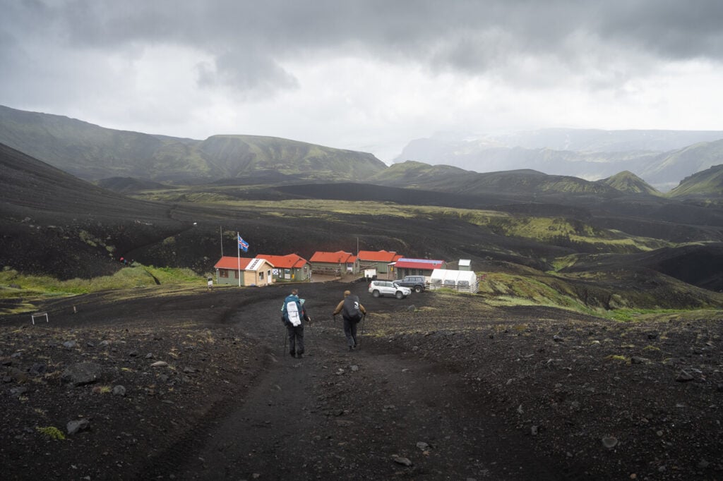
Emstrur Bornar Hut.
The road to the hut, called Emstrurskali, is very steep. I had no issues with a Land Cruiser, but less powerful cars may struggle to get back uphill. As usual, practice extreme caution when driving in the highlands. I would not recommend trying to get to the hut with a smaller 4WD. However, you could leave the car around the crossroad around Hattfell and walk from there.
- Driving Directions: From the ring road (West), you’d need to take a detour onto road 261 at Hvolsvöllur and keep following it until it first turns into a gravel road and then into an F-road. The drive from Hvolsvöllur takes about 1:15 hours. If you are coming from the opposite direction on the ring road, you can turn onto Road 250 (gravel) just after Seljalandsfoss. If you plan to drive Road F210 from The West to the East, then you can take Road F261 from there too.
- Parking: free parking is available at each trailhead, but keep in mind you cannot go off the track on f-rads, offroading is forbidden.
- Public Transport: no public transport is available, as both are very remote locations. Your best option would be to look for suitable tours with local operators.
If you are looking for car rental options, I can recommend Blue Car Rental (with a 5% discount through ThePhotoHikes, read more about it here!).
To sum it up, the West side trailhead is here, the East one here.
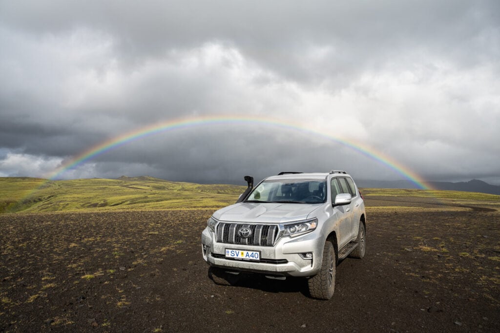
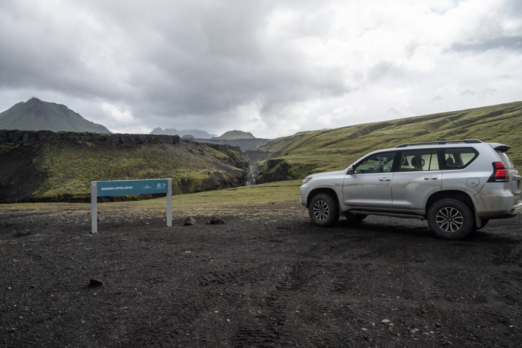
Markarfljótsgljúfur West Side parking/trailhead.
The Markarfljótsgljúfur Canyon Hiking Trails
I’ll describe both the West and East Trail in this order. This is the order I visited them in and likely the same one you’d follow. Also, it probably makes sense to just visit the East unless you really want to see both sides. Consider that it will probably take an additional 3 hours at least, from the West side and back.
Regardless, on the hike to both the Markarfljótsgljúfur Canyon West and the East side, you’ll find spectacular views of the colorful walls of the cliffs and the meandering Markarfljót River.

Markarfljótsgljúfur Canyon West
As mentioned earlier, you have two trailheads on the West Side. A southern and a northern one. The southern one is closer to the rim of the canyon. The northern one requires a longer hike.
The southern trailhead can be reached by a very rocky dirt track, and it’s a dead-end road. The trail isn’t signposted, there is just one sign at the parking area, which vaguely points toward the general directly of the canyon. However, there is a faintly visible trail along the rim, and you can follow that.
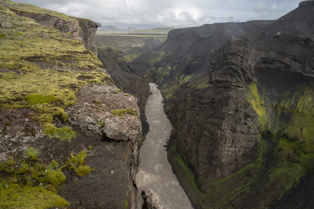
Northern part of the Canyon, on the West side.
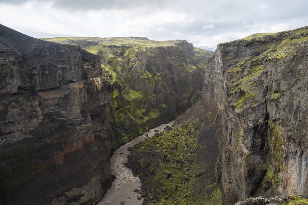
From there, you can either walk to the northern part of the Canyon and then to the southern one – or vice versa. The bottom line is that you’d need to backtrack on the trail regardless of which part of the trail you want to hike first.
I first hiked to the northern part of the trail, then back toward the parking area, and then I hiked to the southern part. You can’t walk the entirety of the trail along the rim. Rather, there are several lookouts you can get to at different points.

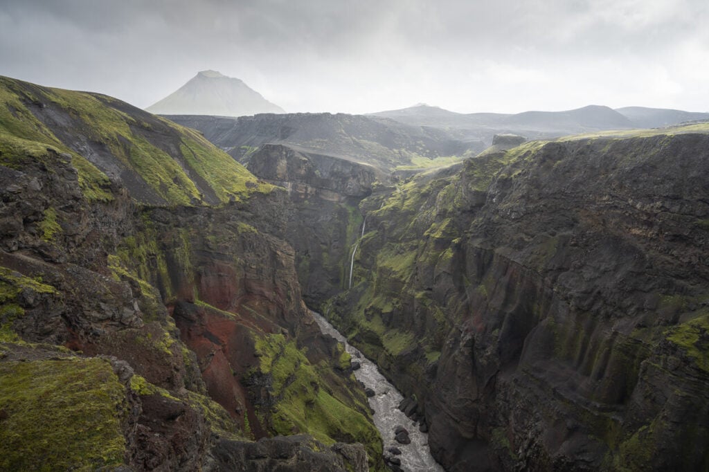
Mount Hattfell in the background.
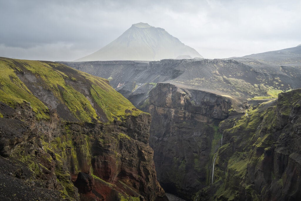

Once you reach the viewpoint above, you can head back to the car. the trail seems to continue in some directions, but you are basically at the southern tip of the canyon, which gets smaller from there.
If you decide to visit the other side, you’d need to hop back in the car and keep driving onwards on Road f-261. Do stop at the other trailhead, even if you just see this beautiful waterfall along the Markarfljót River.
There is a second trailhead on the West side. A longer trail that leads to the same viewpoints as the other. This is a good stop to see a waterfall along the river.
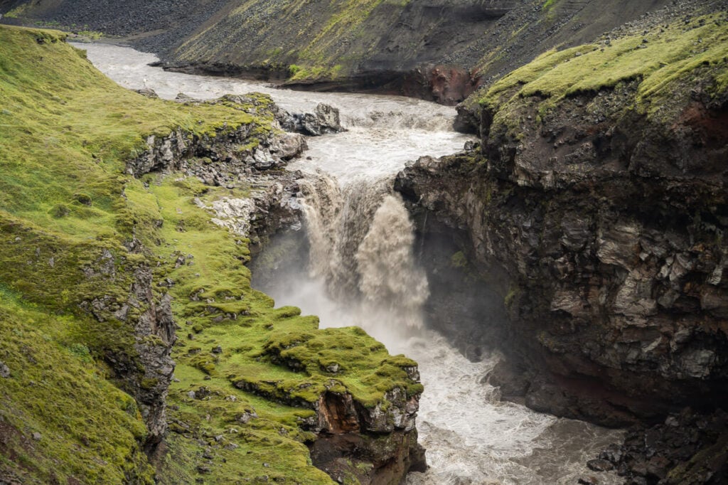
Waterfall along the tumultuous Markarfljót river
Markarfljótsgljúfur Canyon East
Driving from the West side viewpoint to the East side trailhead will take about 30 minutes. Again, best to leave the car around Hattfell and walk from there if you have a smaller 4WD.
From the Emstrur-Botnar hut, the trail is marked – kind of. You’d need to walk back on the road for about five minutes until you spot the worn-out sign pointing to the Canyon. Unlike the trail on the west side of the canyon, the one on the East side is signposted.
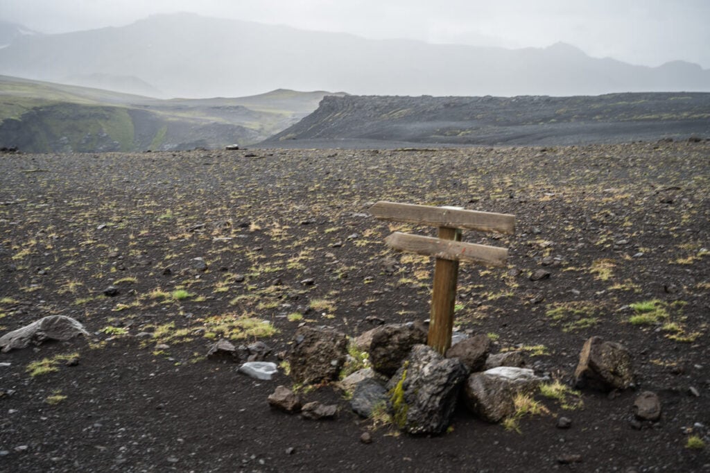
East Side trailhead.
You’ll be walking on mostly flat and barren land for about 10 minutes until you reach the first viewpoint on the northern side of the canyon. There’s a series of them on this side, more than on the West.


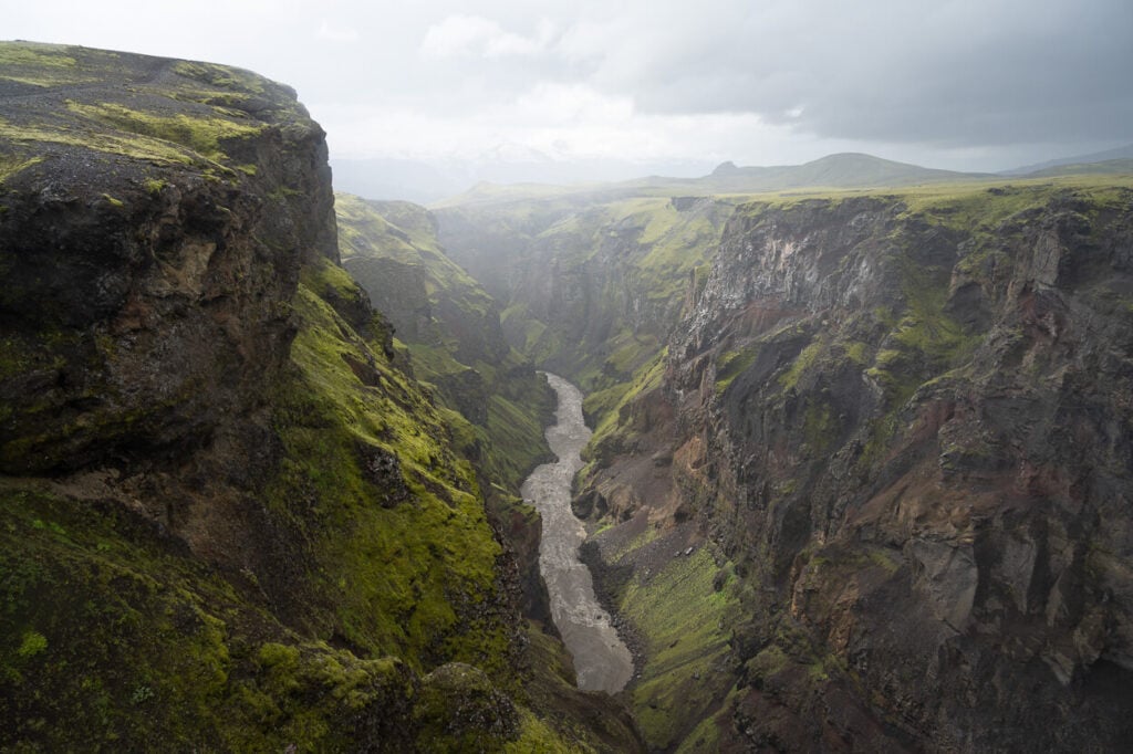
From there the trail follows the Canyon’s rim southwards with several viewpoints – all exposed – along the way, to the southernmost viewpoint which is probably the best one on the East side.
The trail then loops back toward the hut, and you’d have to walk about another 15-20 minutes on barren lands before getting back to the trailhead. The views toward the highlands are fantastic.

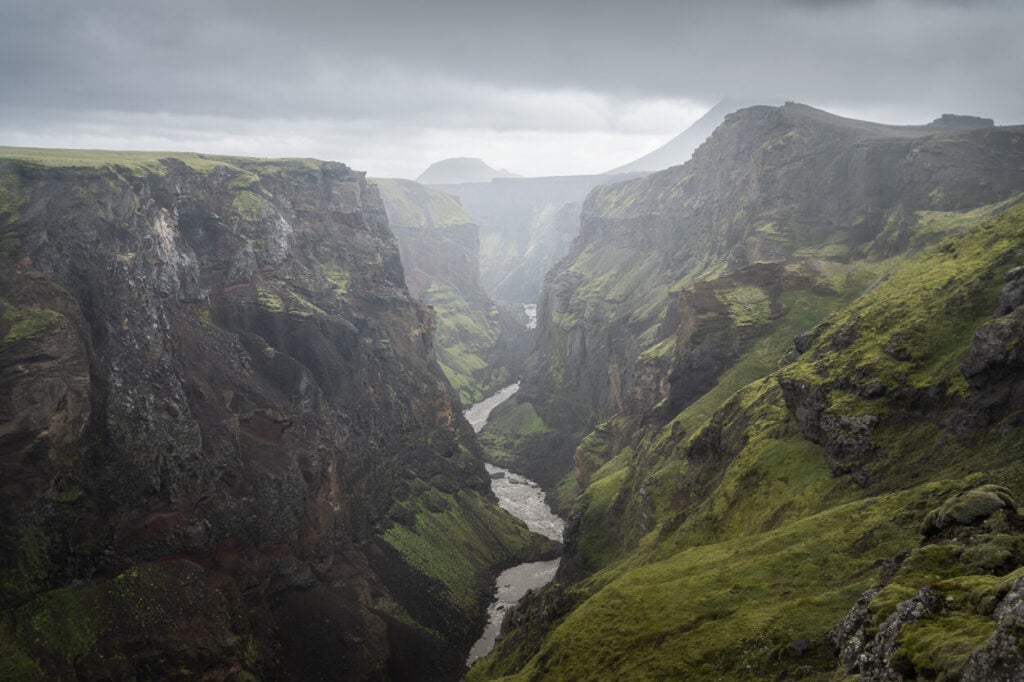
Viewpoint at the southernmost part of the trail.
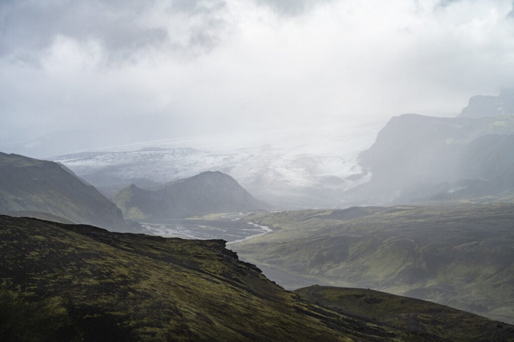
Markarfljótsgljúfur Canyon Photos, Photography Tips, and Best Viewpoints.
The best viewpoints are on both the west and east sides of the southern part of the canyon. Personally, If I had to choose only one, I’d go for the west side.
Both are beautiful, but the views are fairly similar and the west side has the bonus of having such a beautiful mountain as Hattfell, in full view in the background.

West Side main viewpoint – which lines the river with Mount Hattfell.
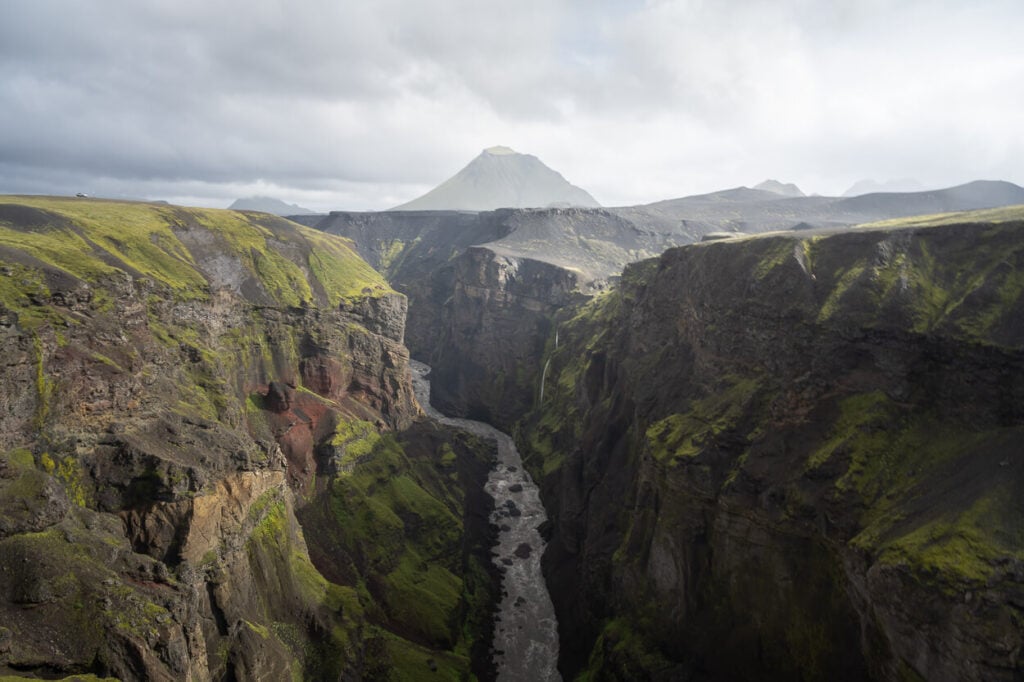

East side Viewpoint, with the may layers of the canyon walls and the meandering Markarfljót River.
The best, most photogenic viewpoints I found were both at the southern tip of the hiking trails on either side. Like the best for last.
Additionally, there is a great viewpoint on the West side, halfway along the rim. This viewpoint, unlike the others, looks toward the south.

I visited in the morning and got some beautiful sidelight from the east – but I supposed light would be equally good in the afternoon as the canyon runs north to south. So you get good sidelight both in the morning and in the late afternoon.
Almost all the photos you see here were taken with a 24-70m f/4 lens (full frame) I think that range was ideal to shoot most of the scenes. Wider, everything may be a little too small. I could have gone longer in some cases, but heavy rain and winds prevented me from changing lenses in the open.
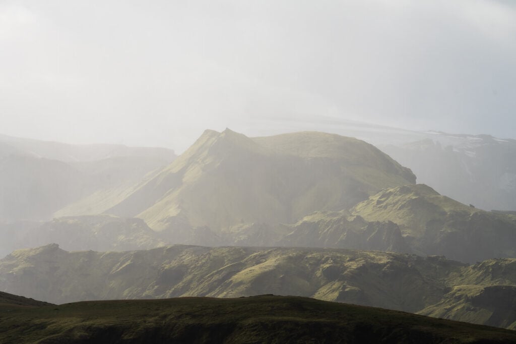
Other than the hike to the Markarfljótsgljúfur Canyon, the landscape around the area, as well as most of road f-261 is extremely beautiful and offers plenty of photo opportunities like few other places in the beautiful and rough highlands of Iceland. Kind of an underrated road compared to more traveled ones.

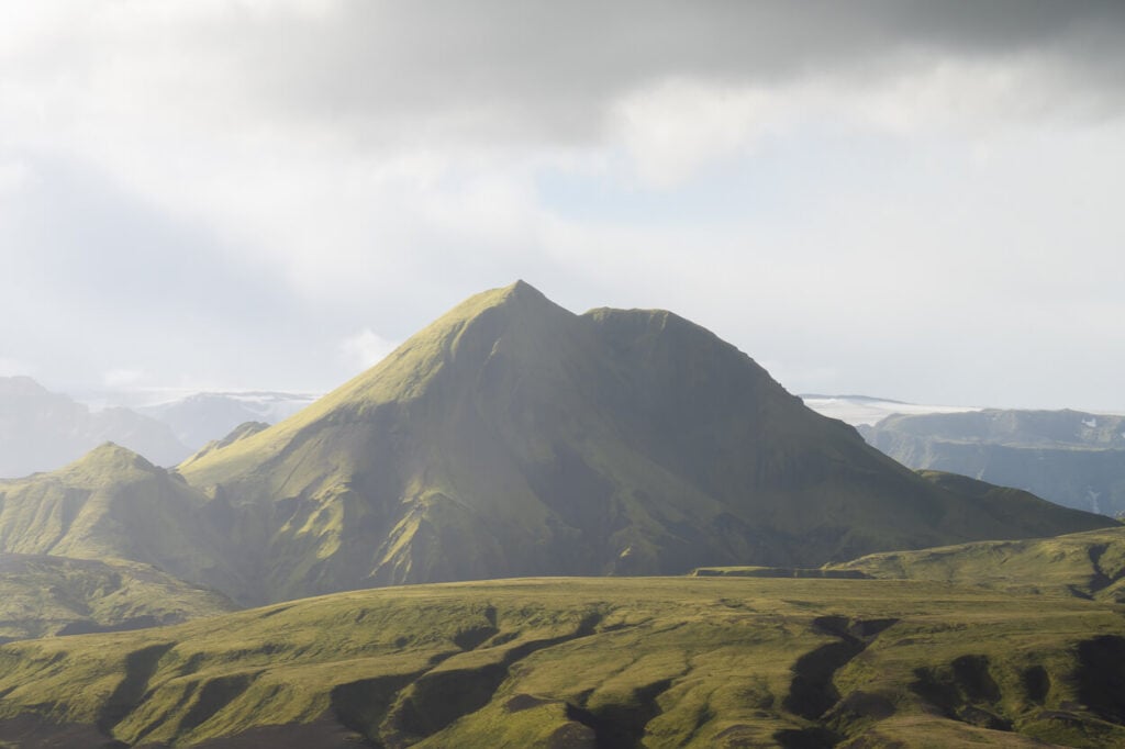
Road f-261 offers some stunning views of the highlands and it’s worth the drive in itself.

Markarfljótsgljúfur Canyon Video
Last but no least, here is a short video of the Markarfljótsgljúfur Canyon (both west and east sides):
Where to stay
The only available location in the area would be the Emstrur-Botnar hut, which offers both camping or bunk bed accommodations.
Other than that, there isn’t anything in the immediate vicinities. However, there are several guesthouses and a few hotels with a countryside flavor around Road 261, before it turns into an F-road.
I stayed in a few places there over the years, and I can recommend it as a location to spend 1-2 nights at to explore the area.
Additional Resources
- Check out more Hikes in Iceland (with maps) here.
- More information on the Esmtrur Botnar hut can be found on the Ferðafélag Íslands website

Leave A Comment