Lago di Limides Hike, Dolomites, Italy
The Hike to Lago di Limides from Passo di Falzarego is a short and easy one that offers fantastic views for a relatively low effort.
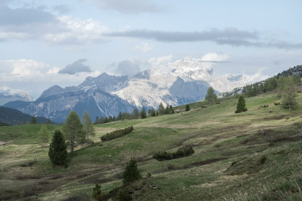
This is a prime spot. Here you can admire some of the most beautiful Rock Towers and Mountains, such as the Tofana di Roses, le Cinque Torri, and Averau to name a few.
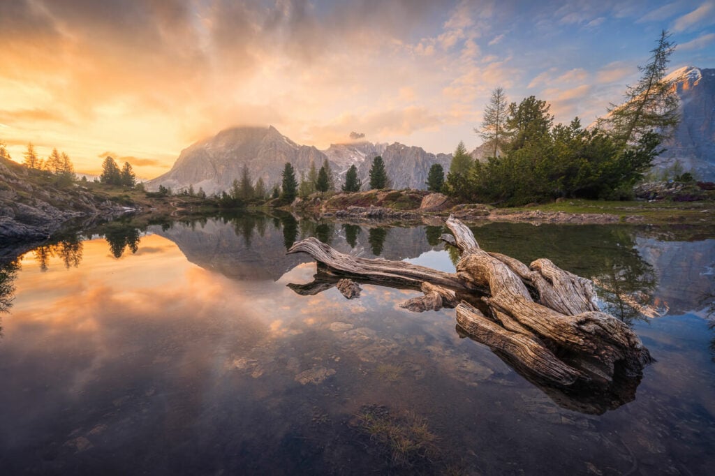
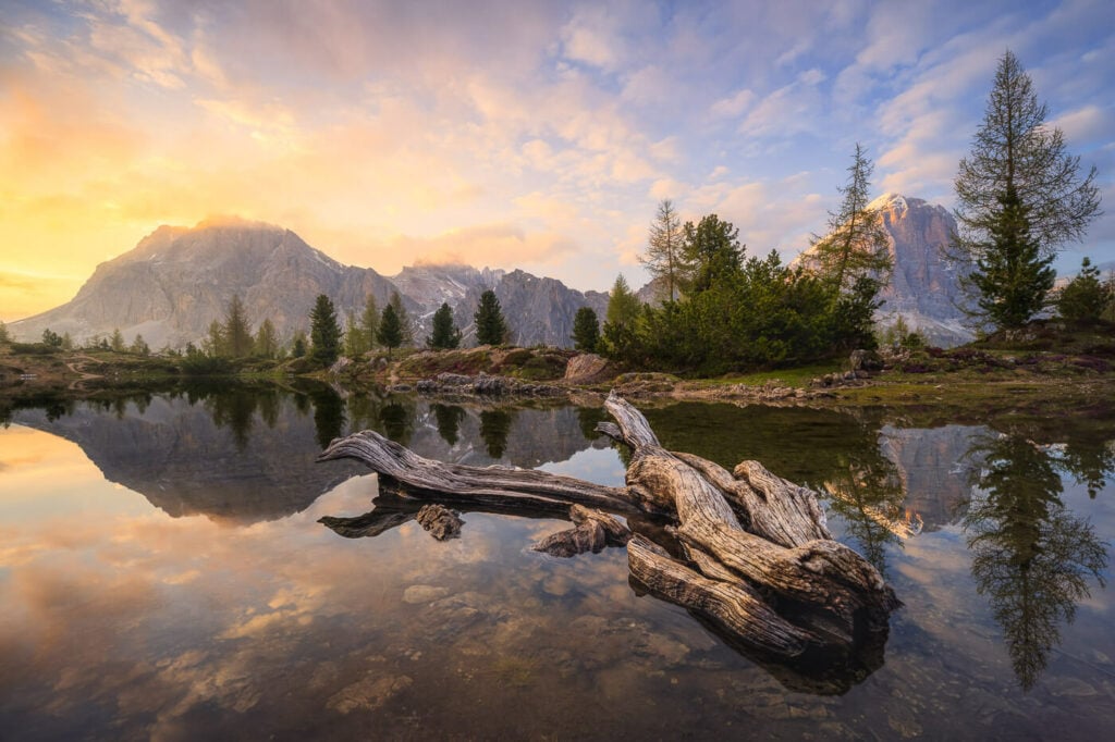
Sunset at Lago di Limides
The main trailhead is located on the Passo di Falzarego. From there the hike to the Lago di Limides the hike takes about 30 to 40 minutes. The Lago di Limides is also one of the easiest hiking trails in the Dolomites; the elevation gain isn’t much either, so you could include it as a quick stop in your itinerary.
For instance, you can either do it as a short, second hike of the day in combination with some other location or easily do it for sunset or sunrise.
That’s what I did too; I hiked to the Lago di Sorapis in the morning and then hiked to Lake Limides in the evening to catch the sunset. I actually was there a couple of hours before sunset to take some more photos during the golden hour and to just enjoy the beautiful scenery.
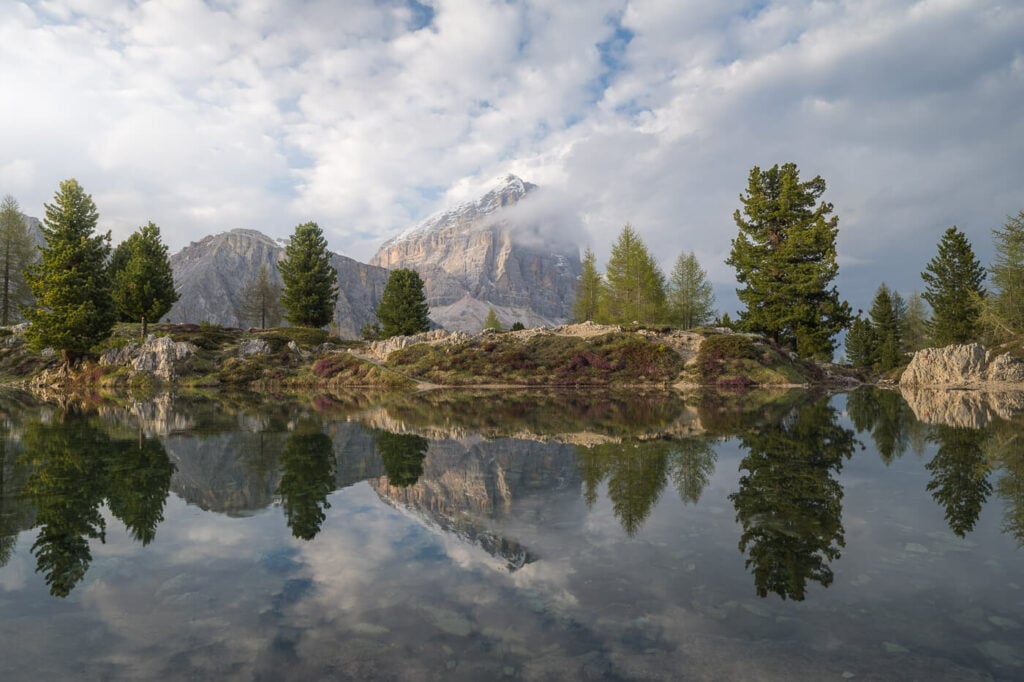
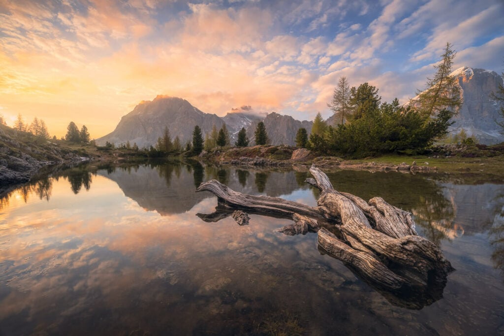
Tofana di Rozes, the mountain in the middle, reflected in the still waters of the Lago di Limides.
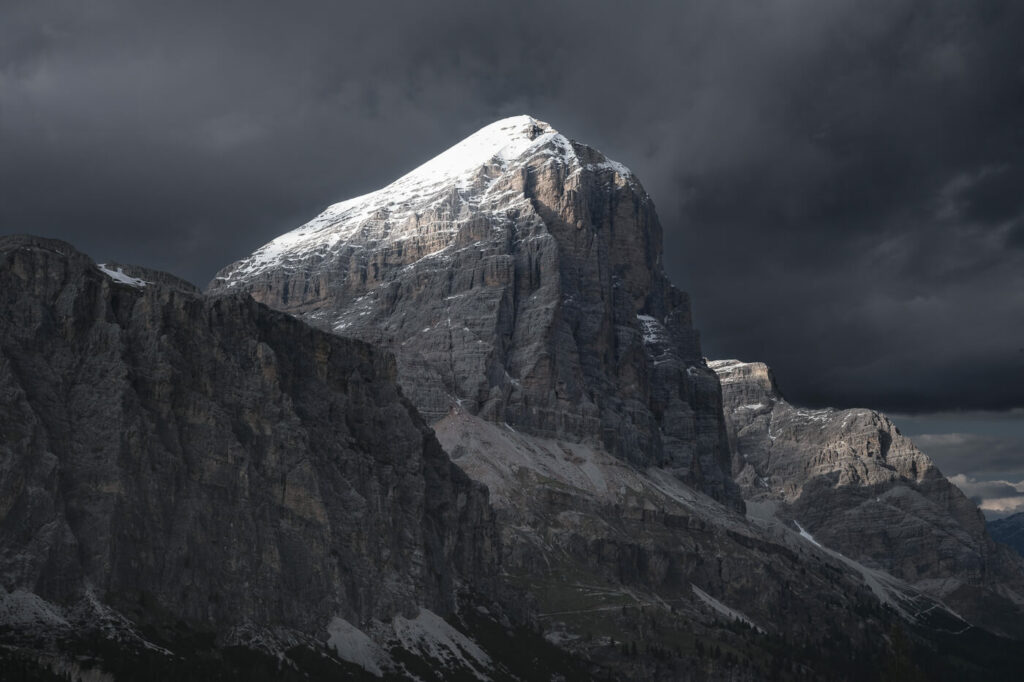
Tofana di Roses, which dominates the panorama from the trail.
A bit of a fun fact: the lake may actually be or not be there. Seriously! While it obviously isn’t a “mobile” lake, it entirely relies on rain and meltwater. This means it will dry out in the warm season with long dry spells in between rainfalls.
Table of Contents
How to get to the Lago di Limides and Parking
The trailhead is easy to reach by car, as it is located on Passo Falzarego.
- Driving Directions: The pass di Falzarego is just a short drive from Cortina d’Ampezzo, which would be a great base if you plan to explore the area. Take road SR48 toward the pass until you reach the pass.
- Parking: Free parking is available at the Passo di Falzarego, though the area will get busy during the main tourist season in July and August.
- Public Transport: check dolomitibus.it for busses passing by the Passo di Falzarego.
An alternative to the hike from Passo Falzarego is taking the other trailhead at the Rifugio Col Gallina. The hiking distance is about the same, but there’s a little more elevation gain—still, not a challenging one.
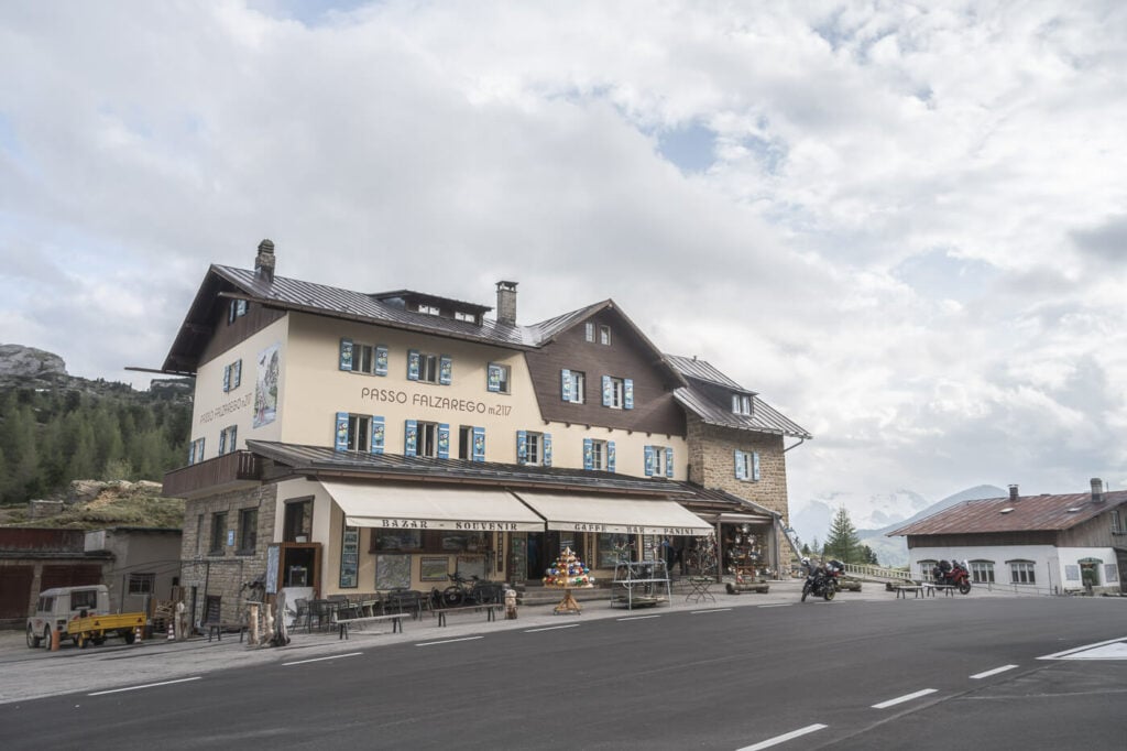
Passo Falzarego
Overview and Map of the Lago di Limides Hike
| Max Altitude | 2,185 m |
|---|---|
| Distance | 3.11 KM |
| Elevation gain | 110 m ↑ / 110 m ↓ |
| Hike time | 01:00/ 01:30 Hours |
| Hike Difficulty | Easy |
Here is a map, if you want to use it as a track for your own hike or to get to the trailhead.
The Lago di Limides Hiking Trail
From the wide parking area next to the souvenir shop, you can follow the wide grave trail that heads uphill. Halfway through the hike, you will come across different trails/dirt roads that follow different directions. Just follow the same general direction and you’ll get to the lake.
Once you get there, it’s possible to walk around the lake, or even across it if there is no water. Also, there are several flat areas where one can sit and enjoy the scenery, or have a picnic. Or a beer :).
Lastly, this is an out-and-back hike, but you can make it a loop if you include the trail passing by the Rifugio Col Gallina.
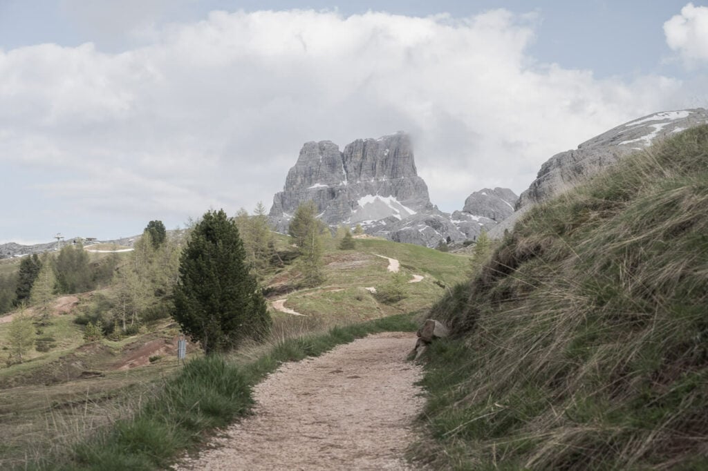
The wide trail to the lake.
The Lago di Limides Photos and Photography tips
There are two quite classic compositions here.
The first one is by the log in the water, opposite the main hiking trail. It’s easy to see why. the lot along with the reflection makes for an interesting foreground.

Sunset at Lago di Limides. 14mm at f/8.
The second one is on the same side of the lake. Here you can capture the reflections of the beautiful mountains on the opposite side. Mainly the Averau, il Sasso di Stria, Lagazuoi, and the Tofana di Rozes.
While these shots are easy to get, compositional options are quite limited. Still, you can explore other vantage points around our above the lake. Or use a telephoto lens to capture some of the beautiful mountains around the lake.
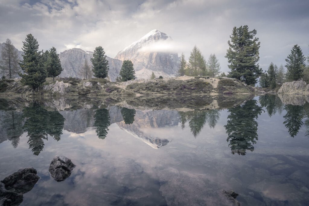
Reflections in the still waters of the lake. Taken at 24mm, f/8
Also, you are likely to find quite a few photographers at this location. Not only this is a very popular sport due to its beauty but also due to its accessibility. So if you are planning to be here for sunrise or sunset it would pay off to be here earlier.
I went there for sunset and I was there a couple of hours earlier to scout the location, enjoy the views, and catch some late-afternoon light too. There were a couple of photographers there already.
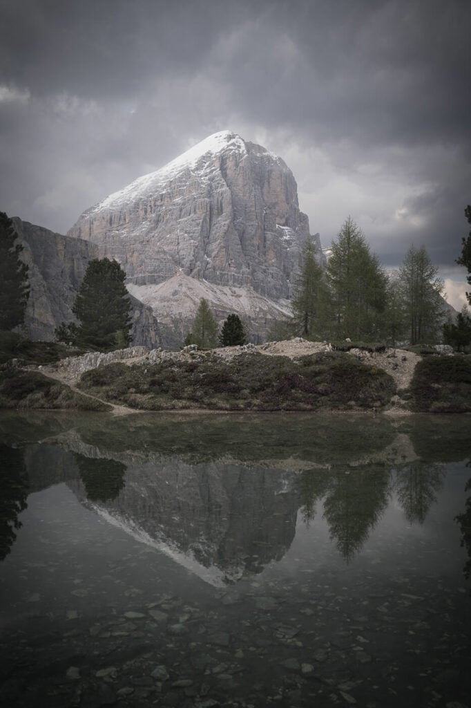
Tofana di Roses, taken at 38mm.
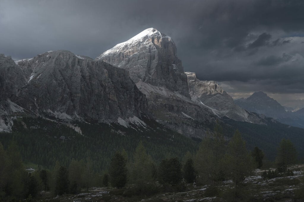
Tofana di Roses, lit by the late afternoon sun.
Sunset
Where to stay
The closest options are around Passo Falzarego, or on the road to it. There also are several huts or hotels along the way.
Alternatively, If you are looking for a place that could serve as a Homebase to explore this corner of the Dolomites further, I’d highly recommend staying in Cortina D’Ampezzo. You’ll have easy access to many locations within a short drive. The Tre Cime di Lavaredo, Passo Giau, Le Cinque Torri, the Lago Federa, and the Lago di Sorapis are all within a 45-minute drive.
Additional Resources
- Check out other fantastic nearby hikes: Le Cinque Torri and Lago di Federa.
- Another Amazing lake in the Dolomites: Lago di Sorapis.
- View my main page on Hiking in Italy.
Thank you!
You’re welcome!
Thank you for this informative post! Would you be able to advise if this hike can be done in winter? Thanks!
Hi Pam – this location will be covered in snow and ice in winter. However, it’s rather close to the ski slopes – I have never been there in winter, but I think should be feasible in snowshoes.