The Engstligen Falls Hike, Bernese Oberland, Switzerland
I’m not sure how popular The Engstligen Falls may be outside of Switzerland; I suspect not much, but this waterfall hike surely is very underrated.
I only discovered the Engstligen Falls after moving to Switzerland, and probably they are not widely known outside of the country either. If you’ve never heard of them either, you may be about to discover one more natural wonder, the Engstligen Waterfalls. This is one of those locations that are likely to leave you in awe when you visit them.
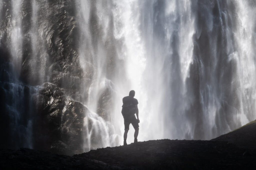
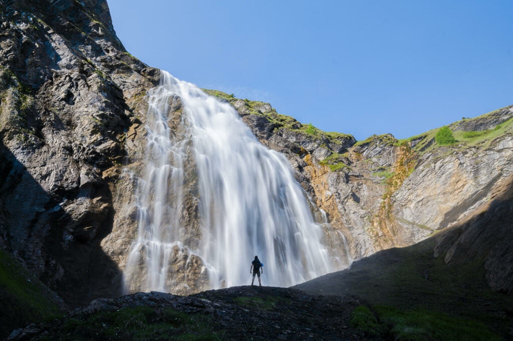
Hiker (myself) watching the The Upper Engstligen waterfall in awe.
Located in the Bernese Overland (Highlands) and close to the Village of Adelboden, The Engstligen Falls consist of two waterfalls; Engstligenfall I (97 meters or 318 ft), and Engstligenfall II (165 meters or 541ft). The hike to see both will take a couple of hours.
Wait, a two hours hike to see one waterfall in its entirety? Yes, that’s how huge the Engstligen Waterfalls are. You will notice that when driving to this location. The waterfall will be visible from afar and once you see them you will also probably ask yourself how tall that huge waterfall really is.
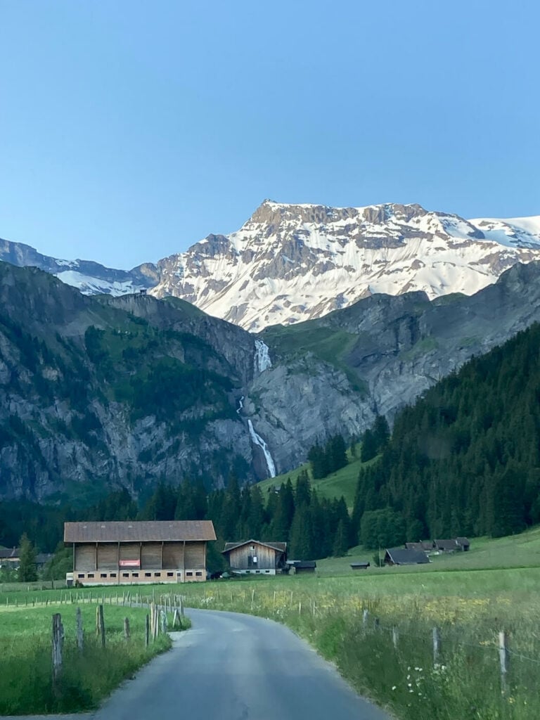
View of the The Engstligen waterfalls from the road.
Table of Contents
Overview of the Engstligen Waterfalls Hike
| Max Altitude | 1,770 m |
|---|---|
| Distance | 5:36 KM |
| Elevation gain | 570m ↑ / 570m ↓ |
| Hike time | 2:00/3:00 Hours |
| Hike Difficulty | Moderate, but slippery in places |
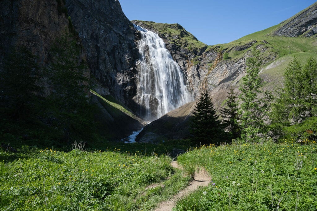
Hiking trail to the upper Engstligen Waterfall.
How to get to the Engstligen Falls (Engstligenfälle) and Parking
It takes a bit of time to get there unless you are staying in the area. It is, however, a relatively easy-to-reach location.
- Driving Directions: The trailhead is at the end of the road The drive from Interlaken to the Engstligen Falls takes about 40/45 minutes. if you are coming from Highway A6/A8, keep following the signs to Adelboden. You’d then have to drive past it and reach the parking area by the Bergbahnen Engstligenalp (the Cable Car station).
- Parking: there’s a very big parking area at the trailhead, close to the cable car station. Parking is free at the time of writing this article (2023). The parking area is here.
- Public Transport: it’s possible to reach the Engstligen Waterfalls trailhead by public transport too. Bus 232 from Adelboden stops at Adelboden, Chäli, and you can continue on foot from there.
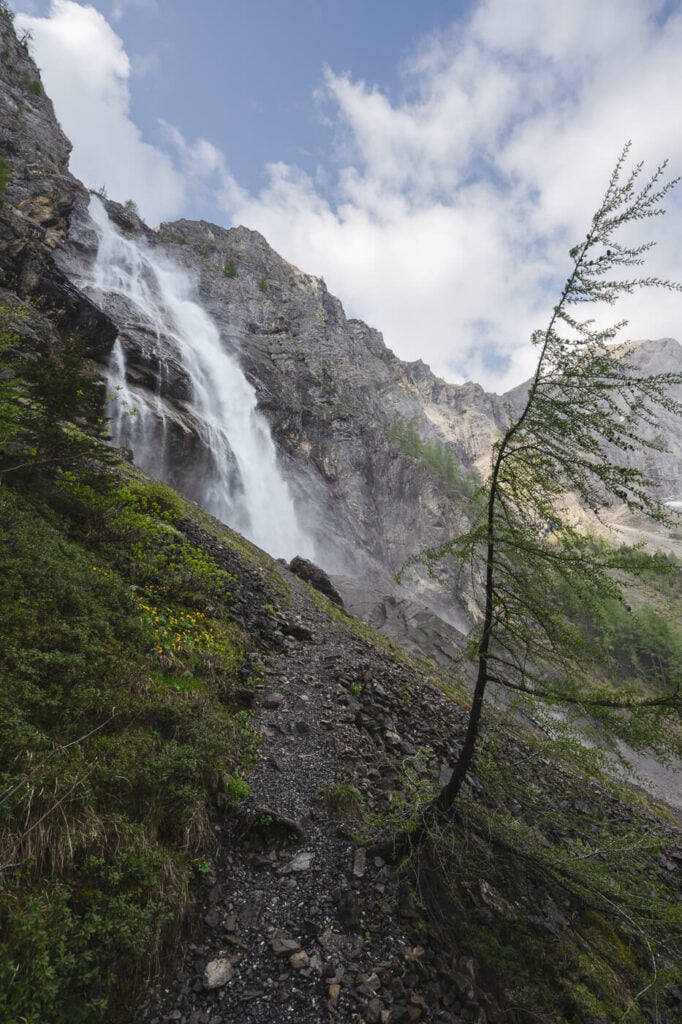
View from the trail of the Lower Engstligen Waterfall
The Engstligen Falls Trail
There are actually two trails, one on each side of the waterfall. However, only the one on the left-hand side of the waterfall is “hikeable”, since the other one is a Via Ferrata which requires specialist equipment and a helmet due to the constant rockfall risk.
Also, you can only reach the lower and upper Engstligen Falls via two different trails. This means you would either have to hike to the lower one first, then to the second one, or the other way around. If you scroll down to the Map of the hike, you’ll see what I mean. I visited a few times and I usually hike to the lower waterfall first, then backtrack a bit to take the trail to the upper fall.
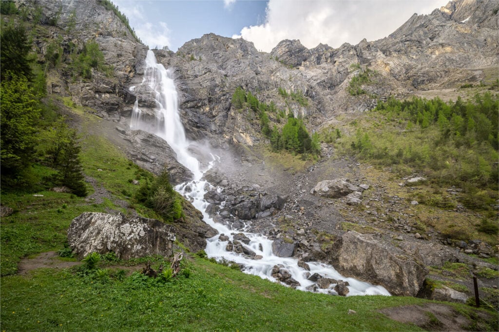
The view approaching the lower Waterfall
Lower Engstligen Falls Hike
The first part of the trail is essentially a dirt road through a beautiful forest, where you can also find some tables and grills for a picnic. If you go to the lower first, you’ll first reach the base of the waterfall, there there is a small bridge that leads to the Via Ferrata on the other side. The bridge offers a great view of the lower waterfall, albeit a very wet one. From there you can continue up to an observation deck close to the upper part of the lower waterfall.
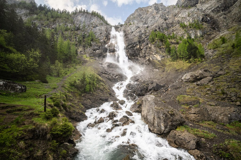
The Via Ferrata follows the waterfall up on the right side.
Please note: to reach the observation deck, you’d need to take the trail that goes through the woods, do not attempt to hike up next to the waterfall – it is a very wet scree section and subject to rockfall.
From the observation deck, you would have to backtrack a bit and take the connecting trail to your right before reaching the base of the waterfall. You’ll see that trail on the way up too, as it is a marked trail.
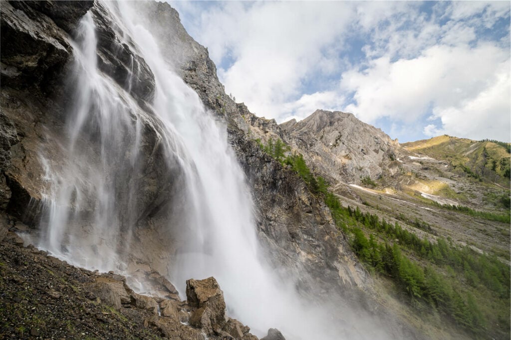
View from the observation deck of the Lower Engstligen Waterfalls
Upper Engstligen Falls Hike
The upper part is not accessible in winter and spring. The trail is closed as it is too dangerous due to ice and also potential rockfall during the spring thaw. You’ll understand why when visiting the upper Engstligen Waterfall. The water spray from the waterfall is so intense that everything around it, including the trail, is constantly wet. It’s literally like it’s raining by the waterfall.
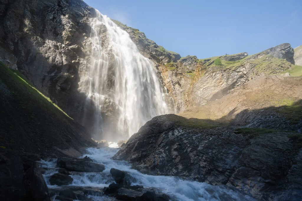
The upper part of the Engstligen Waterfalls.
It usually opens in June, but to be on the safe side check on the official website to make sure the trail is open. Usually, if the website explicitly mentions the trail is closed, then it should be open.
Reaching the upper part of the waterfall will take about 40-50 minutes. The trail does not follow the waterfall up its side like the via Ferrata does. It takes a wider turn on the side of the mountain and connects back to the upper waterfall. Once you reach it, you’ll have to cross another bridge and a very wet section of the trail. It can be extremely slippery here, so proceed with caution.
Upper Engstligen, from the side after the bridge crossing.
Once you cross the bridge you will be on the other side of the river, and you can keep hiking until you reach the drier observation deck of the Upper Engstligen Waterfall. Enjoy the view!
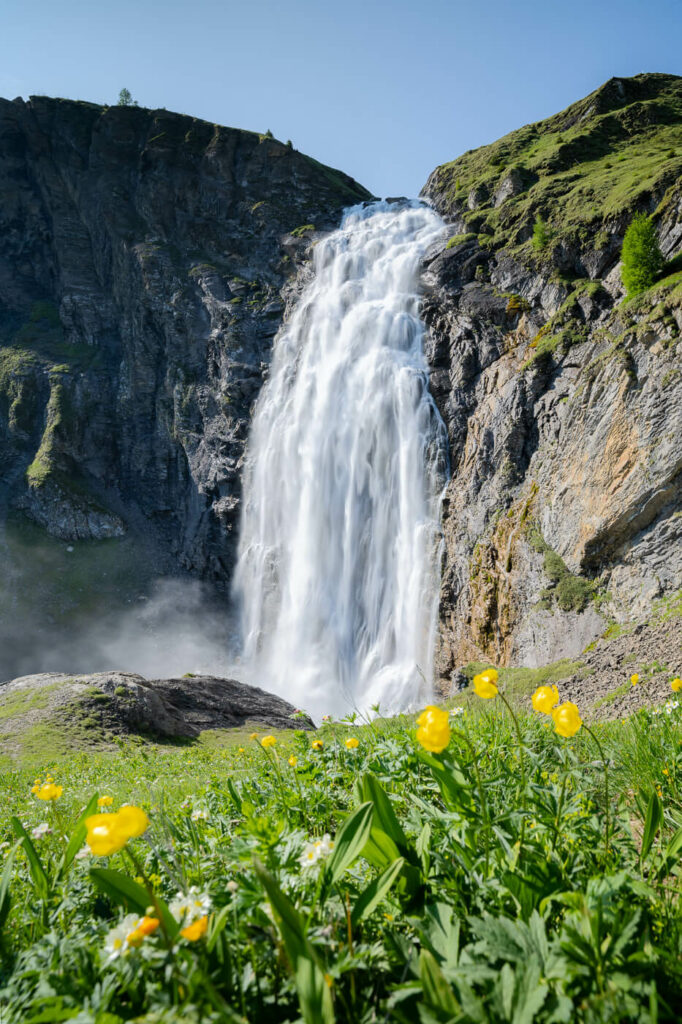
The upper Engstligen Waterfall viewed from the upper viewpoint.
The Engstligen Falls Hike Photos and Photography Tips
A trip to the Engstligen Falls makes for a great day out with the camera. I have yet to meet landscape photographers who do not shoot waterfalls and this one offers plenty of opportunities. The Bridge and the upper deck next to the lower waterfall are some of the best spots. The upper waterfall offers several options too, even if it’s not possible to get close to the waterfall safely. My favorite spots were the ones just before or after the upper waterfall crossing.
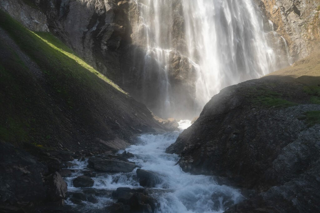
The Upper Engstligen waterfall catching some light. Natural glow due to the water spray.
In terms of light, the lower Waterfall does not catch much light during the day so if it is sunny. So you may want to visit it after noon. The upper waterfall catches light already earlier in the morning and this creates a strong contrast, which can be a benefit or a hassle depending on what type of image you are trying to shoot.
The harsh light and the constant water spray make it a bit challenging to shoot from some areas but with a cloth and some patience that should be no problem. This is also a good location to visit if it is cloudy or foggy. The absence of harsh light definitely opens up more compositional possibilities.
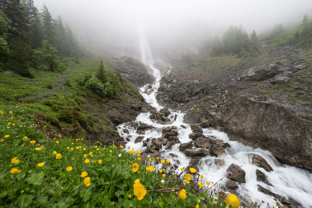
The Lower Engstligen Fall on a cloudy and foggy day
The waterfall is huge so needless to say you may need the widest lens you have if you want to capture most of it, or make panoramas. I’d recommend also having a medium telephoto lens, up to 70/100mm to capture the finer details or include human figures from afar, for an added sense of scale. Or to take a “waterfall selfie”, like I did.
Lastly, flying drones here is not allowed as it is a Natural reserve.
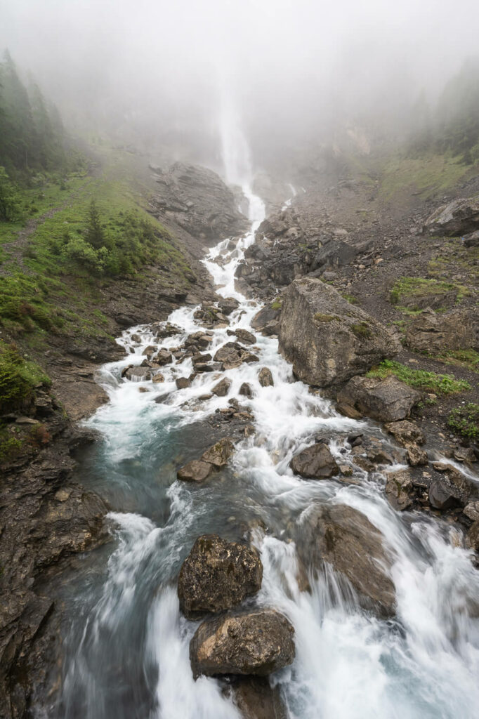
Foggy day still makes for nice, moody images with the benefit of added depth to the image.
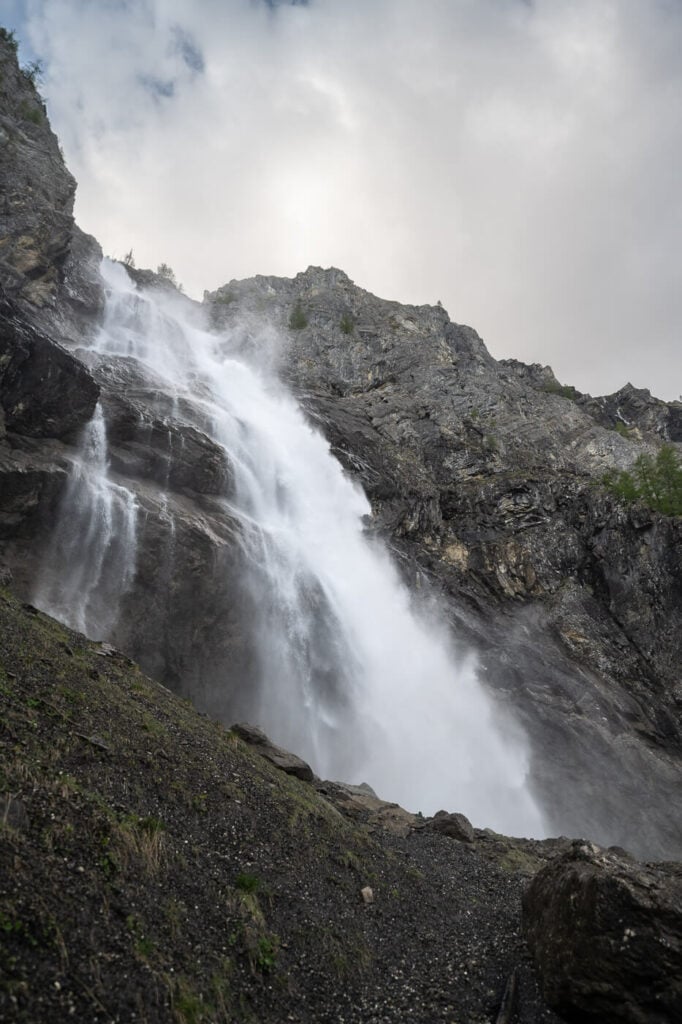
View of the Lower waterfall, almost looking staring up.
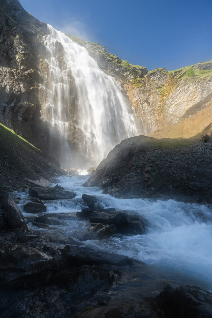
Upper Engstligen Fall on a sunny day. Natural, water spray low
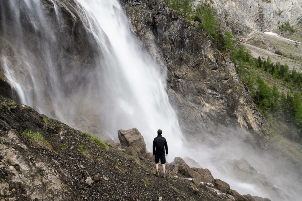
Lower Engstligen Fall, Selfie.

View from the observation deck of the Lower Engstligen Waterfalls
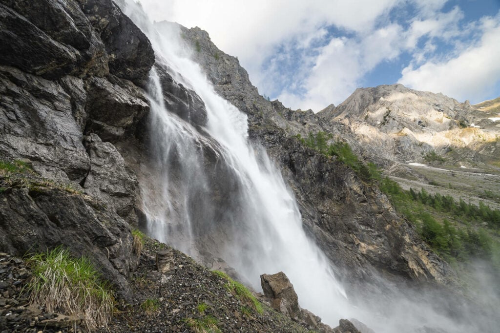
View from the observation deck of the Lower Engstligen Waterfalls, 14 mm.

Hiker (myself) watching the Upper Engstligen waterfall in awe. 70m shot.

Upper Engstligen, from the side after the bridge crossing.
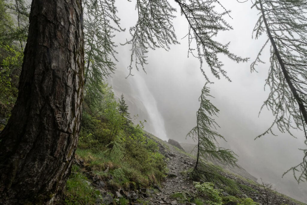
View from the trail to the observation deck on a foggy day.
Video of the Hike
Here is a short video of this hike showing both the lower and upper waterfalls, as well as views from the best observation points.
Map of the Engstligen Falls Hike
Here is the map of the Hike. As you can see you have different options. You can either walk to the lower Engstligen waterfall first and then to the upper one. Or you could also do it the other way around; the upper Engstligen Waterfall first and then the Lower one.
Where to stay
There are a few options here. If you want to be out early or stay late, you could potentially camp by the cable car station. There is a large parking area for overnight stays for both campervans and tents. Alternatively, you could either stay in Adelboden, or Engstlenalp, which can only be reached by the Gondola.
Interlaken may also be a good option, especially if you are planning to do more hikes in that area. The drive from Interlaken to the Engstligen Falls takes less than an hour in normal traffic conditions, so it’s easily doable.
Additional Resources
- If you like Waterfalls, you may also want to check out these amazing Swiss Waterfalls: Stäubifall and Berglistüber.
- Check out the main Switzerland page for more hikes and an overview of Hiking in Switzerland.


Leave A Comment