Saoseo Hut Snowshoe Hike, Graubünden, Switzerland
The snowshoe hike to the Saoseo hut is a great snowshoeing adventure in the beautiful mountains of the Swiss canton of Graubünden (or Grisons, or Grigioni), in the southeast corner of Switzerland. This is a perfect location if you want to enjoy some silence and quietness away from the winter mountain crowds.
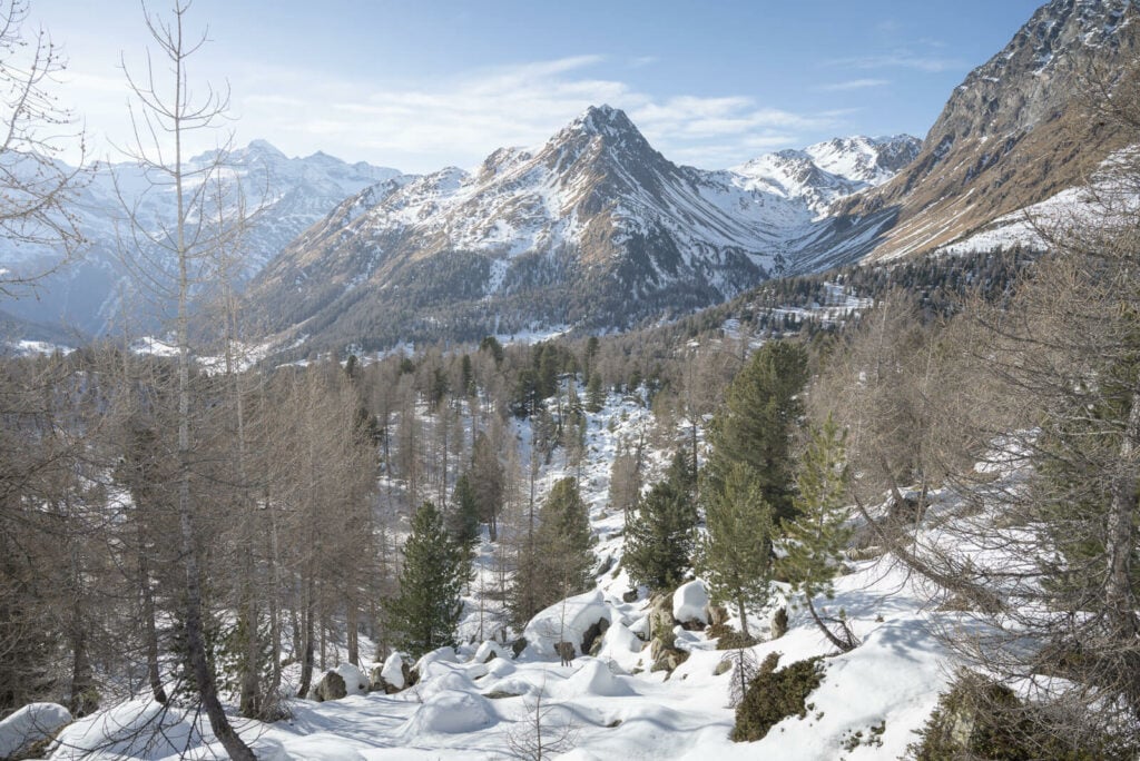
The view from the trail close to the Val Viola Lake
In winter, this is a great location not only for snowshoeing but also for cross-country skiing. In summer this is a popular location; many will visit the Saoseo Lake (Lago di Saoseo in Italian) and hike the nearby trails.
Also, you can reach both the Lago di Saoseo (Saoseo Lake) and the Lagh da Val Viola, a bigger, uphill lake, on this beautiful route.
Beware though, while reaching the Saoseo Hut (Rifugio Saoseo in Italian) and the Lake is quite easy, the look hike around Lagh da Val Viola is a rather demeaning one that may require an overnight at the hut – which is what I did.
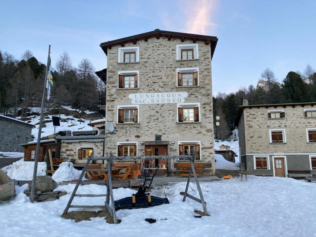
The Saoseo Hut
Regardless of which you choose, the trail goes through some beautiful country, forests, and the imposing snow-covered mountains around the valley. All the ingredients for a beautiful day out on the trail and the quiet of a snow-covered landscape.
Now let’s get into the details.
Table of Contents
Overview of the Saoseo Hut Snowshoe Hike & Map
First of all a note on safety; before setting out for a snowshoe hike in the area, make sure you check the avalanche forecast and danger levels.
This can be done on the Swiss Natural Hazards website or directly on the Meteoswiss App.
Second, I have marked this trail in one single track, but this hike required an overnight at the hut.
Third, the trail crosses the Lagh da Val Viola (Val Viola Lake) which, unless it’s completely frozen solid, may be dangerous to do.
| Max Altitude | 2,260 mm |
|---|---|
| Distance | 15,6 KM |
| Elevation gain | 640 m ↑ / 640 m ↓ |
| Hike time | 06:00/ 07:00 Hours |
| Hike Difficulty | Hard |
Here is the map of this snowshoe hike. You can download the GPS track for free from the Komoot activity if you wish to do so.
How to get Saoseo to and Parking
The trailhead is in Sfazù, a small locality on Road 29, close to Poschiavo. Essentially you will have to drive toward or down the beautiful Bernina pass. It’s a beautiful drive on either side, usually open all winter.
- Driving Directions: from the North, i.e. central Switzerland, you will have to drive through the Bernina pass and down the other side, until you reach the Parking area. From the south, i.e. Poschiavo or Tirana, you will have to drive toward the Bernina pass. and stop at the parking area.
- Parking: there is a large Parking area at the trailhead, in front of the hotel. That’s the Parking Sfazù, paid. The maximum tariff is 10 CHF per day.
- Public Transport: in summer, you can catch a bus ride to the Saoseo hut. The stop is the Lungacqua bus stop, with PostBus.
If you look on Google Maps, it may likely give you an option to drive to the Saoseo Hut directly. This is not possible in winter, but only in summer if you are a resident.
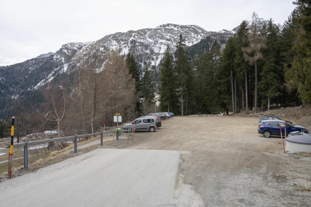
The Sfazù parking area, where you can leave the car.
The Snowshoe hiking trail around Rifugio Saoseo
Being this a loop, you could do it either way. I did it counterclockwise, to get the longest and more difficult part of the trail behind. That was about 10 km and c.600m elevation gain. While that may not seem much, it’s harder than it looks because, after the Saoseo Lake, it’s almost a backcountry track that may require breaking a trail through deep snow.
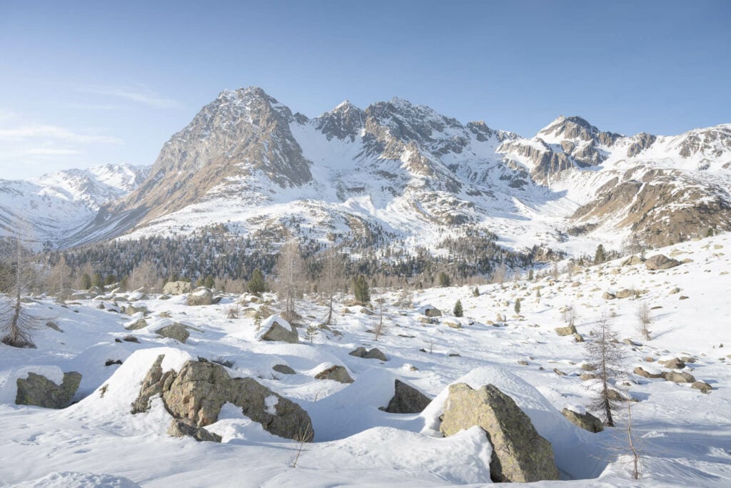
The upper part of this trail goes through some pristine which will likely be covered in deep snow.
Anyways the trail is initially easy in both directions. If you are doing the trail clockwise, it’s about 5km to the Saoseo hut. This is the best option if you arrive in the early afternoon and want to do the longer part of the trail the day after.
If you arrive in the morning or before noon then you can do as I did; get most of the KMs in first, arrive at the hut in the evening, have a great dinner, and a good night’s sleep, and leave the morning after for another day on the trail.
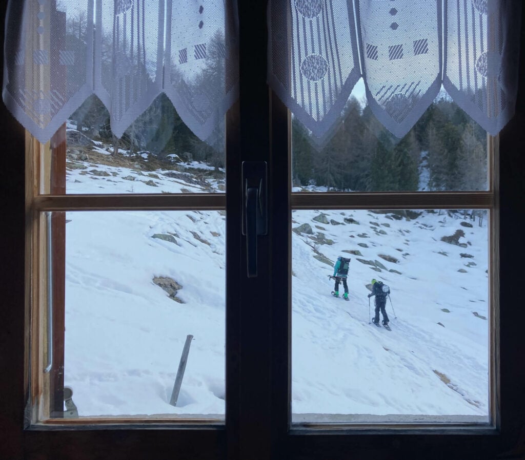
The Rigugio Saoseo is also the starting point to explore the area further.
From Sfazù to Rifugio Saoseo
But back to the trail. I’ll describe it counterclockwise since that’s how I did it. The first part of the trail goes mostly through some sparsely inhabited areas with some huts, some forests, small creeks, and lakes.
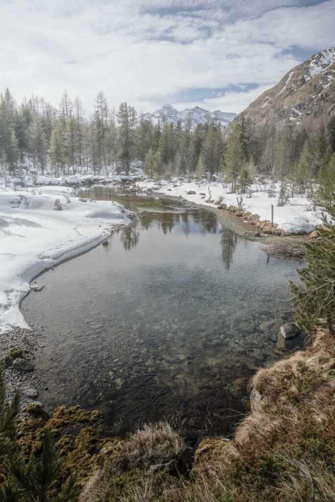
This is quite an easy snowshoe hike up until the lake, where you will be able to see through the woods. You can visit it if you want, although it will just look like a flat white clearing at this time of the year. Also, up until this point, you will be able to follow the white-red-white trail marks of the summer hiking trail.
From the Saoseo Lake, the trail becomes increasingly steep. It’s unlikely to get much traffic, so you may have to break trail from here. No further trail marks to follow from here onwards until you are on your way back from Val Viola Lake. So make sure you have proper navigational devices.
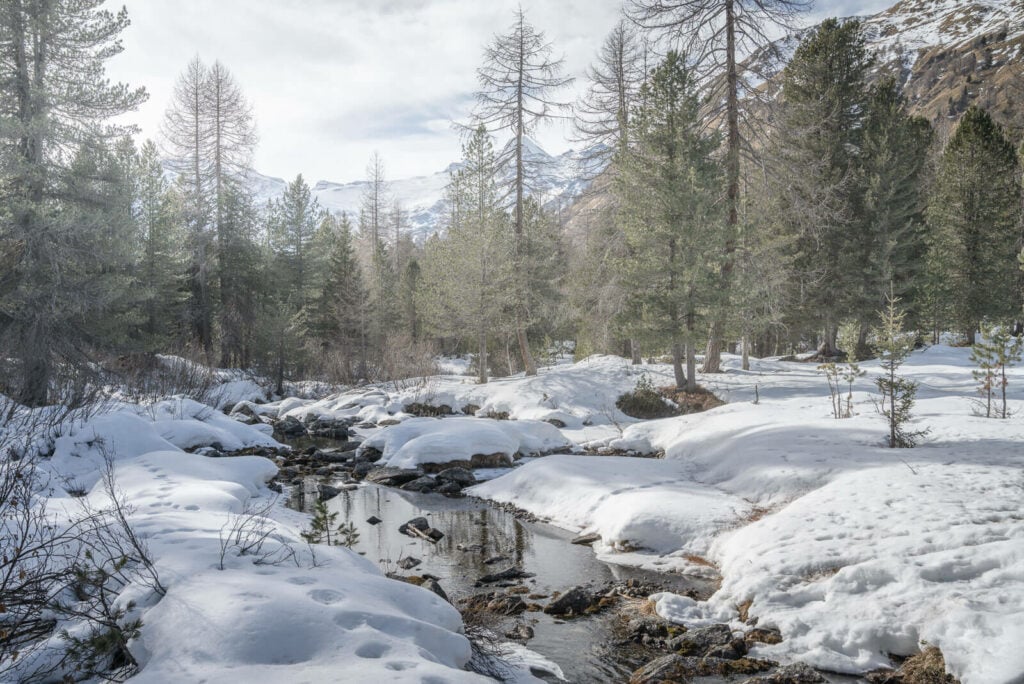
One of the many creeks along the trail
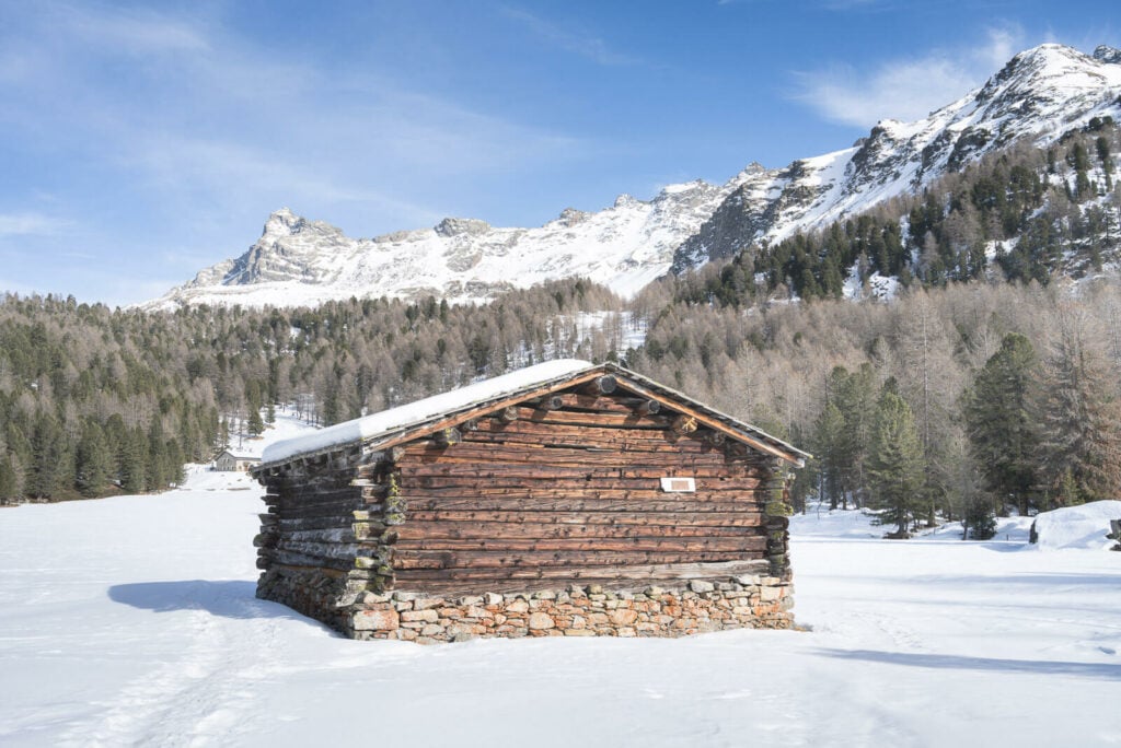
Also, one of the many huts.
The elevation gain continues until you reach a relatively flattish area right above Val Viola Lake, where the trail steeply descends toward the lake and crosses it. I did this trail at the end of winter when the lake was frozen solid and the ice was very thick. If the Ice is thin, you may need to find a way around the lake.
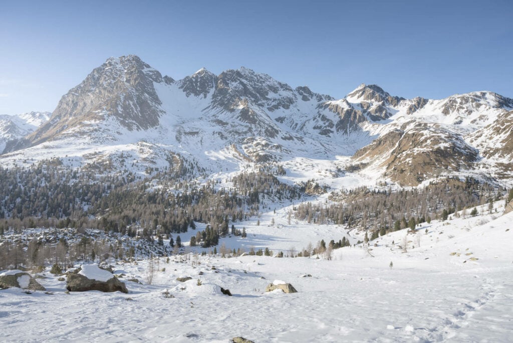
Val Viola Lake, the flat area in the middle of the image.
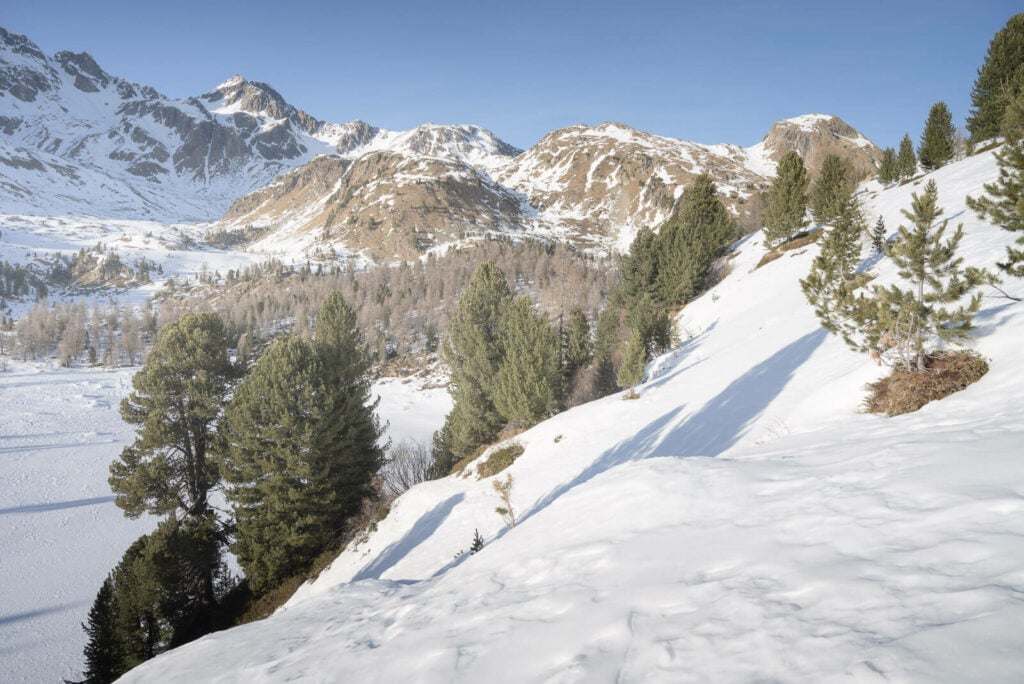
From here the trail goes down to the lake where you may need to cross it, assuming it’s safe to do so.
Anyway, once you have reached it, the hardest part of this snowshoeing trail will be behind you. From here onwards, it’s just an easy and wide downhill trail to the hut. It will take approximately 40/50 minutes to get there.
The Saoseo Hut Snowshoe Hike Photos and Photography Tips
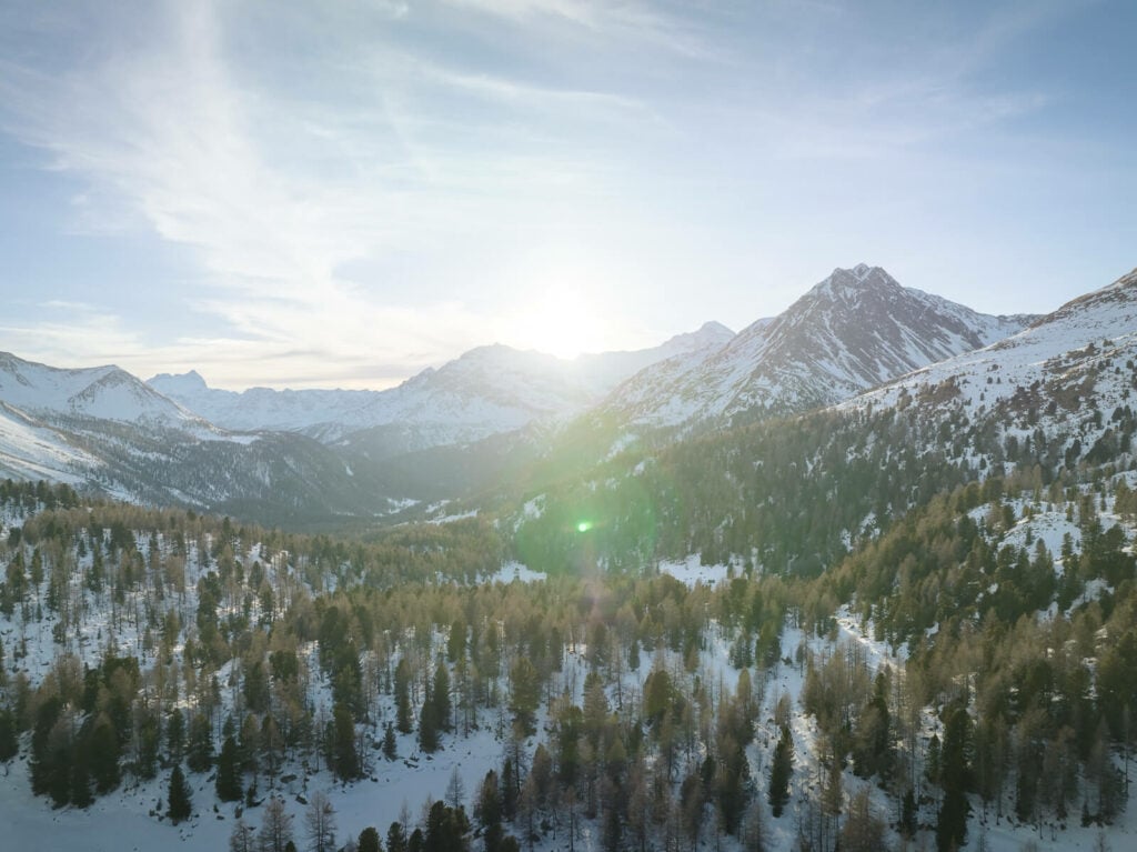
In the first part of the trail, it’s the scenery is nice, mostly through the forest with a few creeks and small clearings here and there. The most scenic parts are above Val Viola Lake, where the landscape opens up. So Ideally that’s where you would want to be in the late afternoon or for the golden hour if you want to catch the best light.
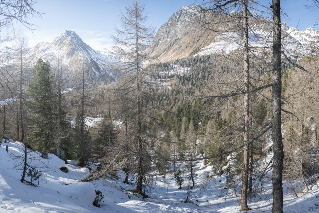

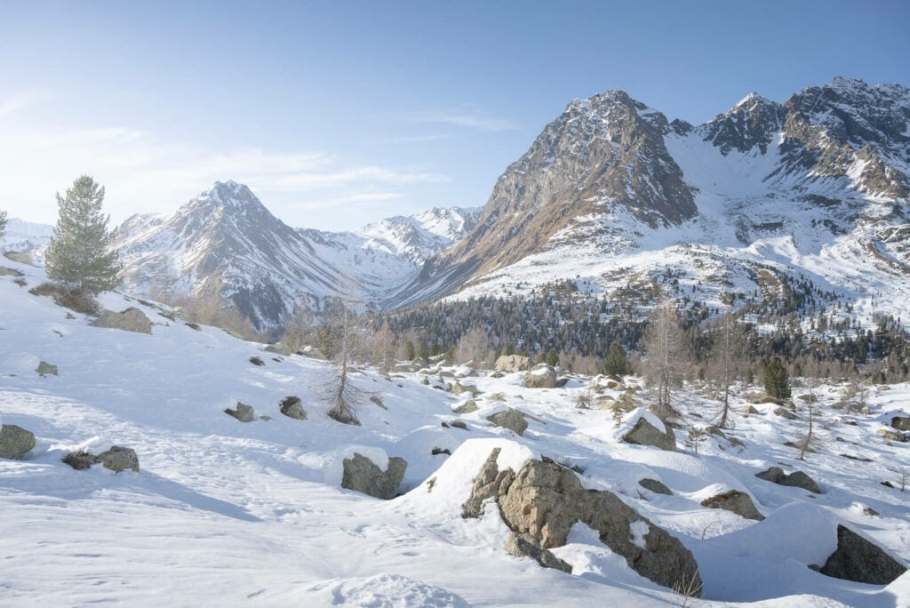
In winter, the sun will set opposite the Val Viola Lake so the area right above the lake itself is a great location to catch the setting sun.
The hut isn’t to far from here, about 40 minutes downhill. Still make sure you have a headlamp if you are planning to be here for sunset.
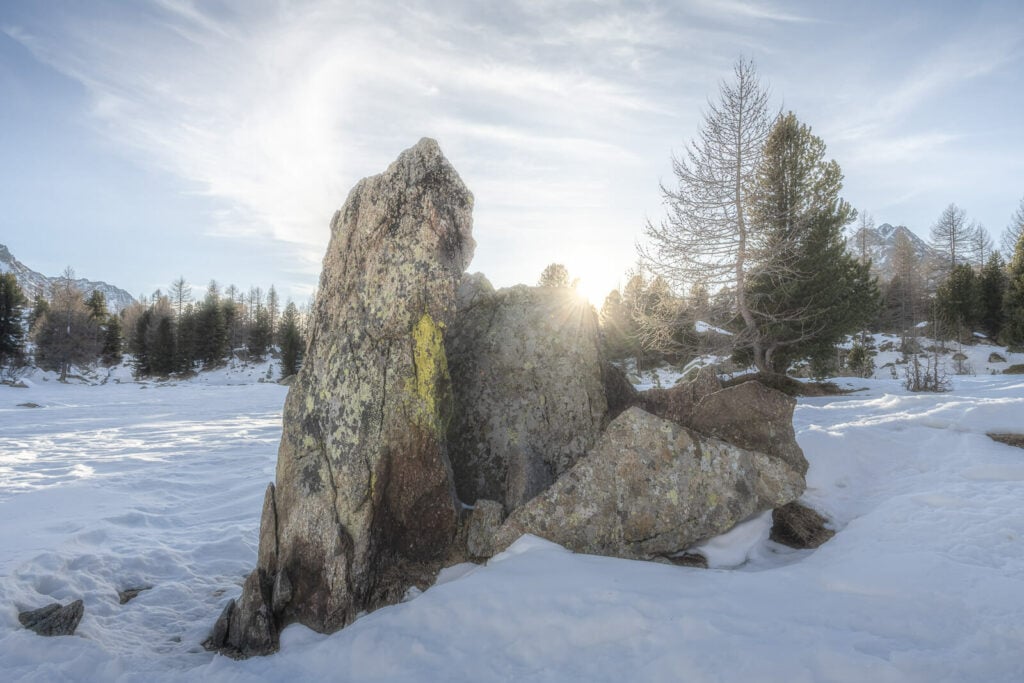
The sun setting behind some rocks near the Val Viola Lake.
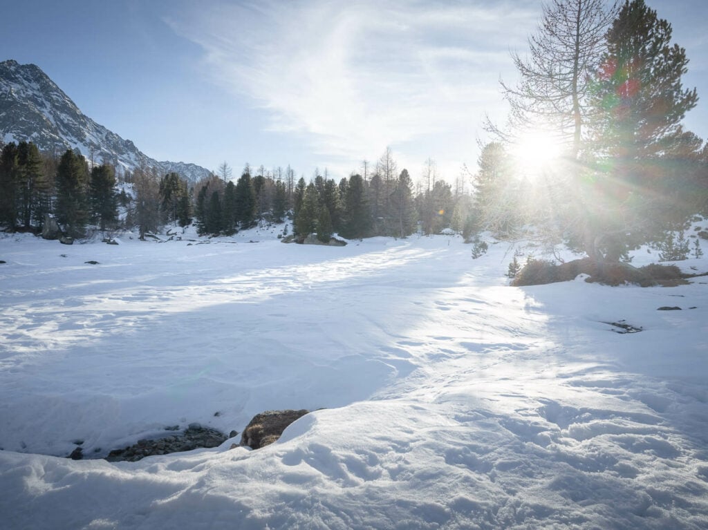
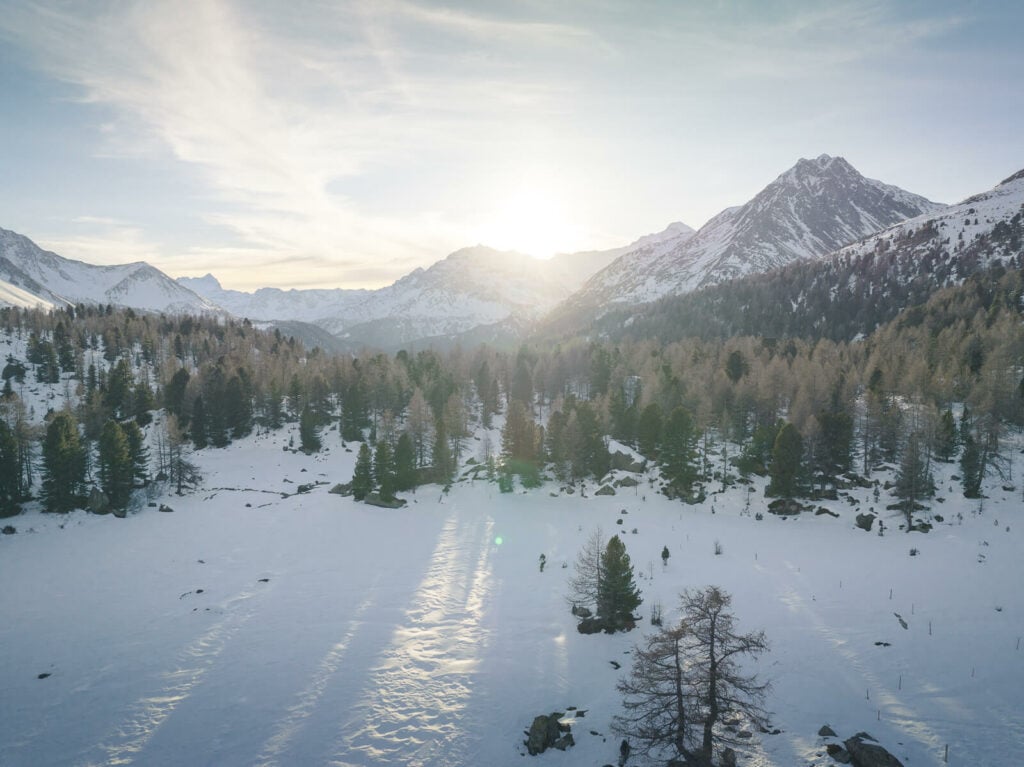
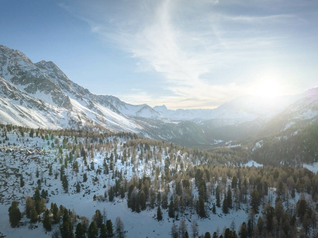
Drone Photo
I pretty much used only my 24-70mm lens here. I found no need to use any wider or longer lenses. I’ve found the landscape to be too wide for any of those.
Also, assuming you are complying with local regulations, you can fly a drone here. This will get you the best views of the wide landscape and wide valleys of this corner of Switzerland.

Sun setting behind the mountains.
Video of the Saoseo Hut Snowshoe Hike
Last but not least, here is a short video of this Snowshoe Hike from my YouTube channel:
Where to stay
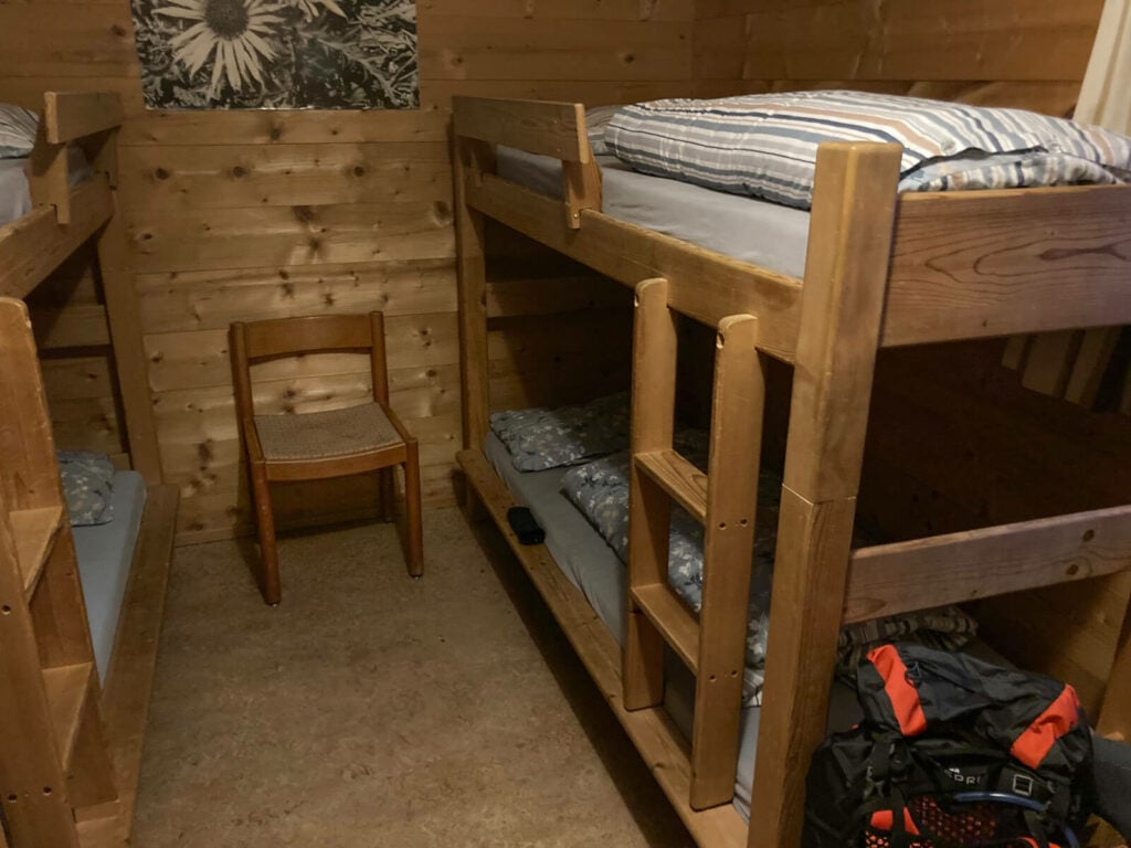
Well, the Saoseo Hut of course! You can book the hit directly on their website, or give them a call. The staff is extremely kind and helpful. The hut is well-organised and has bunk bed accommodations. the food is great too, classic delicious, high-energy “mountain” food!
Bunk beds in the hut.
You can book directly on the Saoseo Hut Website or the SAC website.
Additional Resources
- Check my main Switzerland page for more info and Photo Hikes in Switzerland.
- More Snowshoe hikes in Switzerland: Arnisee, Sunnig Grat, Engelberg Ristis, Fronalpstock. and Obertrübsee in Engelberg.
- Check out my top Snow and winter Landscape Photography Tips


Leave A Comment