The Steingletscher Hike on the Sustenpass, Central Switzerland
The Hike to the Steingletscher on the Sustenpass is still a bit of a hidden gem in central Switzerland. The views from the pass are already breathtaking and the view of the glacier, once you get up there, is even more so.
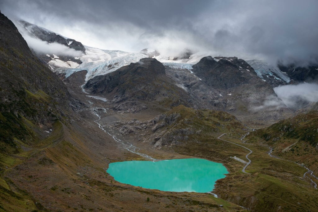
The Steingletscher, in the background, and the Steinsee, the lake in the foreground. View from the Sustenpass.
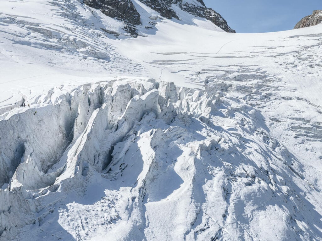
What’s particularly special about the Steingletscher is how close you can get to the crevasses without walking on the glacier. You can pretty much look right into them from land.
Additionally, apart from the beauty of the scenery with alpine lakes and rugged mountains, the trail is challenging but fun to hike. Plus there’s a mountain hut, the Tierberglihutte, that serves great food. Definitely a great place to rest a bit, have some food while you look at the amazing landscape around you.
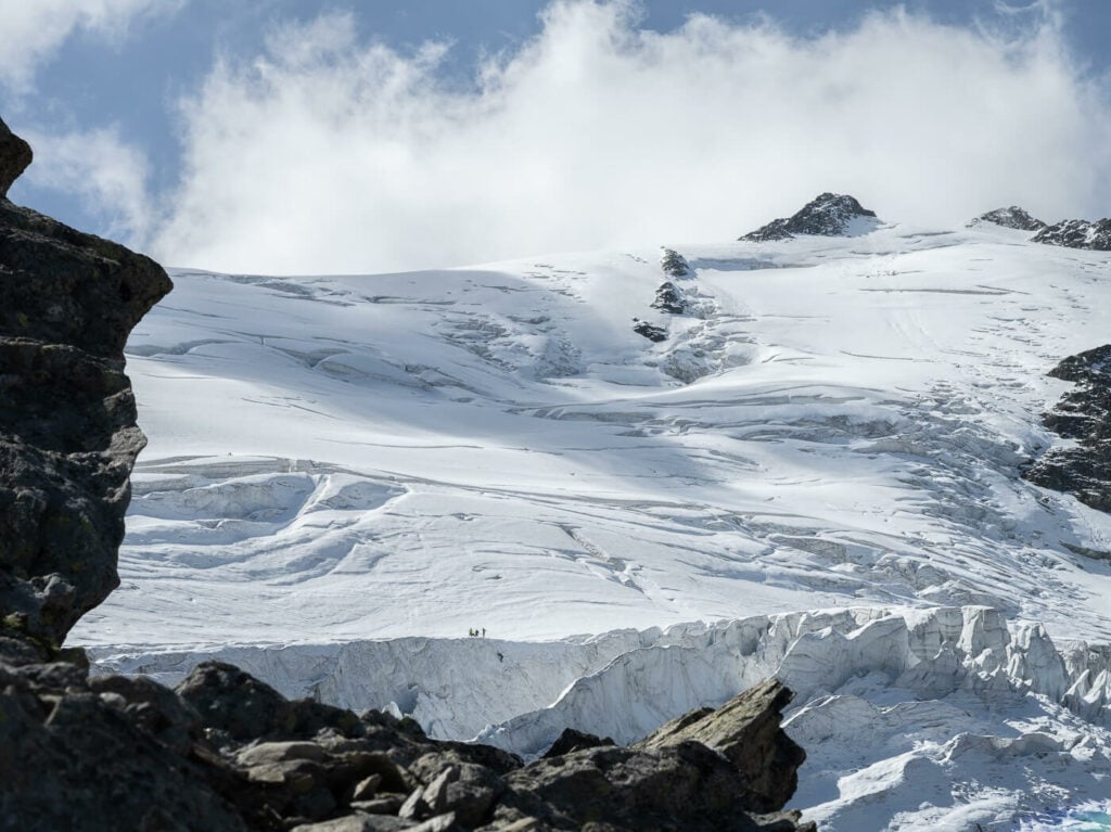
Overall it is a rather hard hike, but it’s well worth the effort. Even in Switzerland, there aren’t many glaciers you can get that close to. So much so you may even watch someone rappelling down into the crevasses! Can you spot the “little” guys?
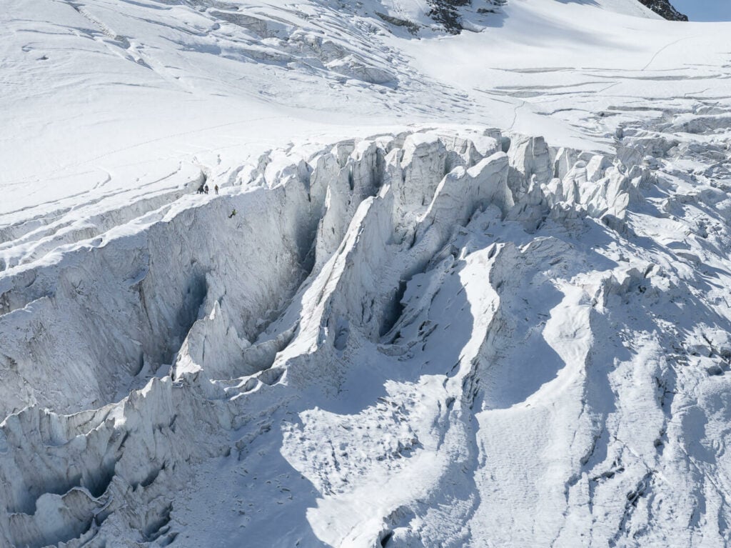
Crevasses of the Steingletscher
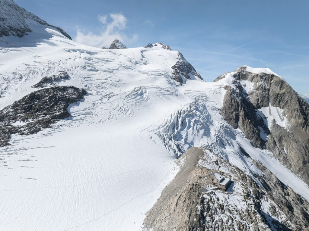
The glacier and the hut – aerial photo.
Table of Contents
Overview of the Steingletscher Hike & Map
While the hike isn’t too long it is quite a challenging one. If you are familiar with the Swiss Trail’s difficult ratings, the Hike is partly T3 (Difficult mountain trail, red-white) and partly T4 (Alpine Trail blue-white). You can find more on the trail ratings on my main Hiking in Switzerland page. While there are no exposed areas, there are a lot of unstable rocks, a few passages with chains, and some scrambling sections.
Please note, there also is a Via Ferrata (Klettersteg in German); make sure to follow the right trail from the beginning. Also, this hike is only possible in summer. The Tierberglihütte’s website will post information about trail opening times and trail conditions. Make sure to check it before heading there, especially early or late in the season.
A bit of a “fun” fact: the area around the Steinsee is also a shooting range of the Swiss Army. In low season the area will be closed for that purpose, but you can check the hut’s website for the latest information.
| Max Altitude | 2,800 m |
|---|---|
| Distance | 11.8KM |
| Elevation gain | 980m ↑ / 980m ↓ |
| Hike time | 05:00/ 06:00 Hours |
| Hike Difficulty | Hard |
Here is the map of the hike to the Steingletscher. You can download the GPS track for free from the activity below:
How to get to the Steingletscher and Parking
There is only one way to get there, driving up the Sustenpass from either side of the pass. In good traffic conditions, the one-way drive to the Steingletscher trailhead takes about 1:20 hours from Lucerne, 1:30 from Zurich, and 1:40 from Bern. So it’s entirely doable as a day hike.
- Driving Directions: if you are coming from Zurich/Lucerne or the Gotthard pass, you will have to drive up the Sustenpass and get to the other side. From the top of the pass, it’s just a 10-minute drive down the other side. If you are coming from the “Bern” side of the pass, you’ll reach the trailhead before getting to the top of the pass.
- Parking: You have two parking options here. You can either park in front of the Berghotel Steingletscher. Parking here is free. Alternatively, you can pay the 5CHF fee (as of 2024) and drive up a private road to a small parking area closer to the trailhead. If you pay the fee and park on the private road, you will save a couple of KM of walking.
- Public Transport: It’s possible to get to the trailhead using public transportation. The bust stop is Steingletscher, Susten, served by Postbus 162. You can find the timetable on the PostAuto website.
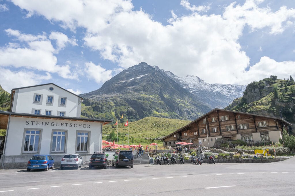
The Berghotel Steingletscher on the road to the Sustenpass.
The Steingletscher & Steinsee Hiking Trail
If you parked the car on the Sustenpass like I did, you can walk right past the small visitors center at the trailhead. From there, keep following the trail marks for the Tierberglihutte. This part of the walk is partly on a trail and partly on the private paved road that leads to the upper parking area.
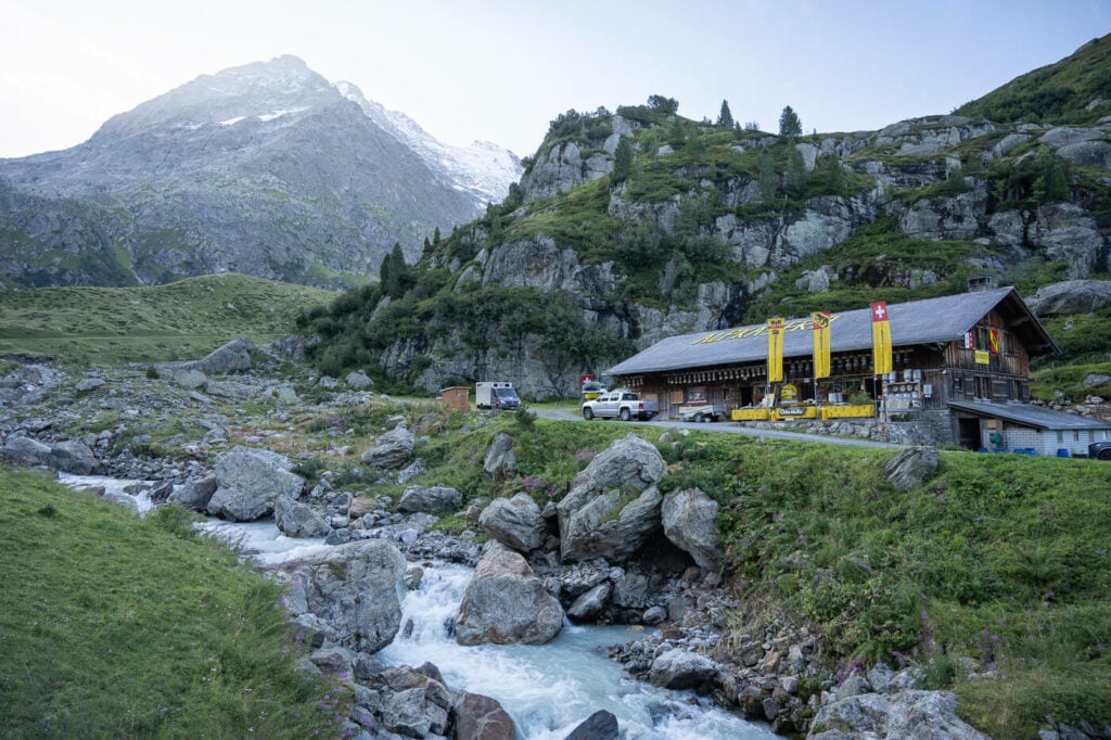
The small farm/visitors center at the trailhead on the Sustenpass.
Once you reach the upper parking area, you’ll have to cross a small pedestrian bridge and from here the hike to the top will become increasingly steep. You can’t see the hut from down below, but the glacier will appear deceivingly close. So it will take longer than you think it will.
Anyway, the trail is quite easy to follow and well-marked. As you go up, you will need to negotiate some passages around big boulders, help yourself with chains, or scramble up some sections. Essentially, it is rather slow going in places, but the views make up for the effort.
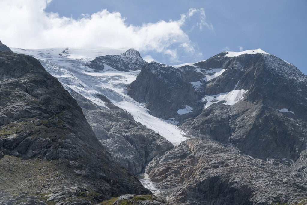
Steingletscher from the lower part of the trail. the hut is up the side of the mountain on the left.
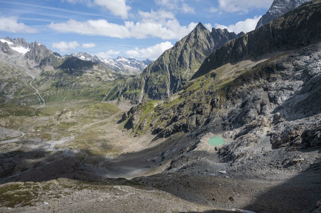
View toward the Sustenpass from half-way up the trail.

Lower tongue of the glacier.
As you approach the hut, the views of the glacier will gradually open up, revealing some beautiful panoramic views of the lower tongue of the glacier. The side of the mountain is so steep that the ice appears to be barely hanging on the rocks. here you can already see some of the crevasses that you can get relatively close to once you get to the end of the trail.
The very last part of the trail before the hut is the steepest. It is, however, relatively short. Once you get to the top, you can actually walk along the ridges of the mountain to admire the glacier from several different viewpoints. First I’d recommend taking the unmarked trail to your right. This is where you can have the best views of the crevasses. It’s a short detour but it’s an absolute must.
From there, you can head to the hut and to the other side of the mountain where you’ll find more great views of the vast glacial expanse ahead of you.
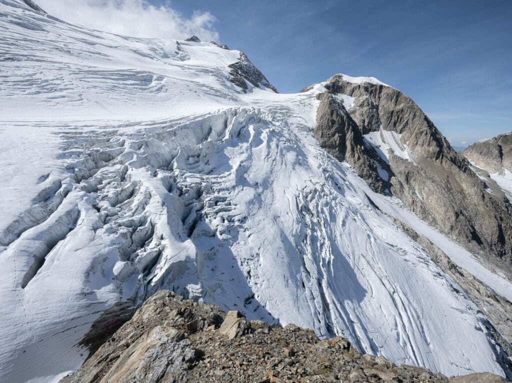
First, unmarked, viewpoint to the right of the hut.
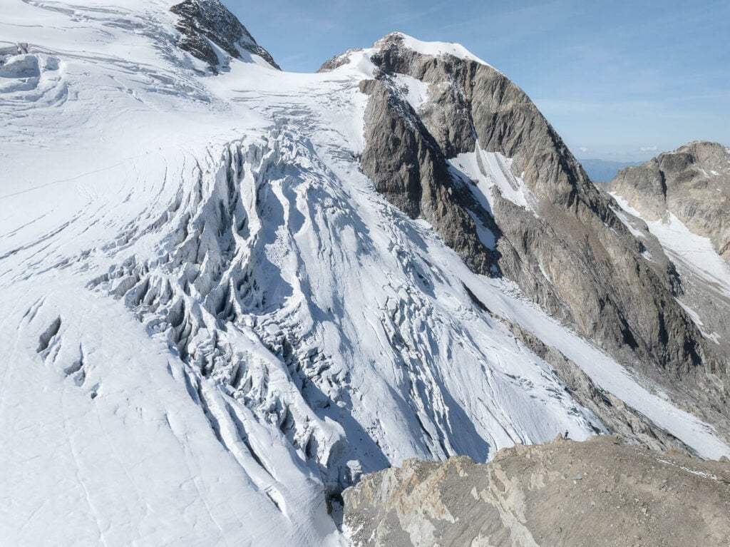
Drone photo; you can see the little figure (me) on the lower left, for scale.
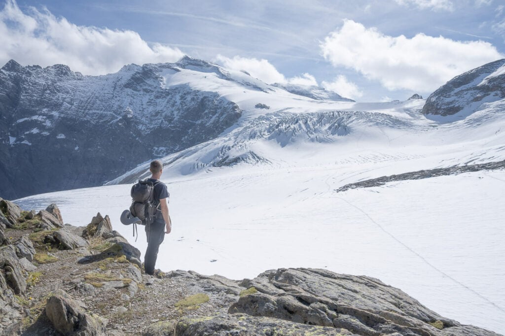
View of the vast ice expanse on the other side of the mountain.
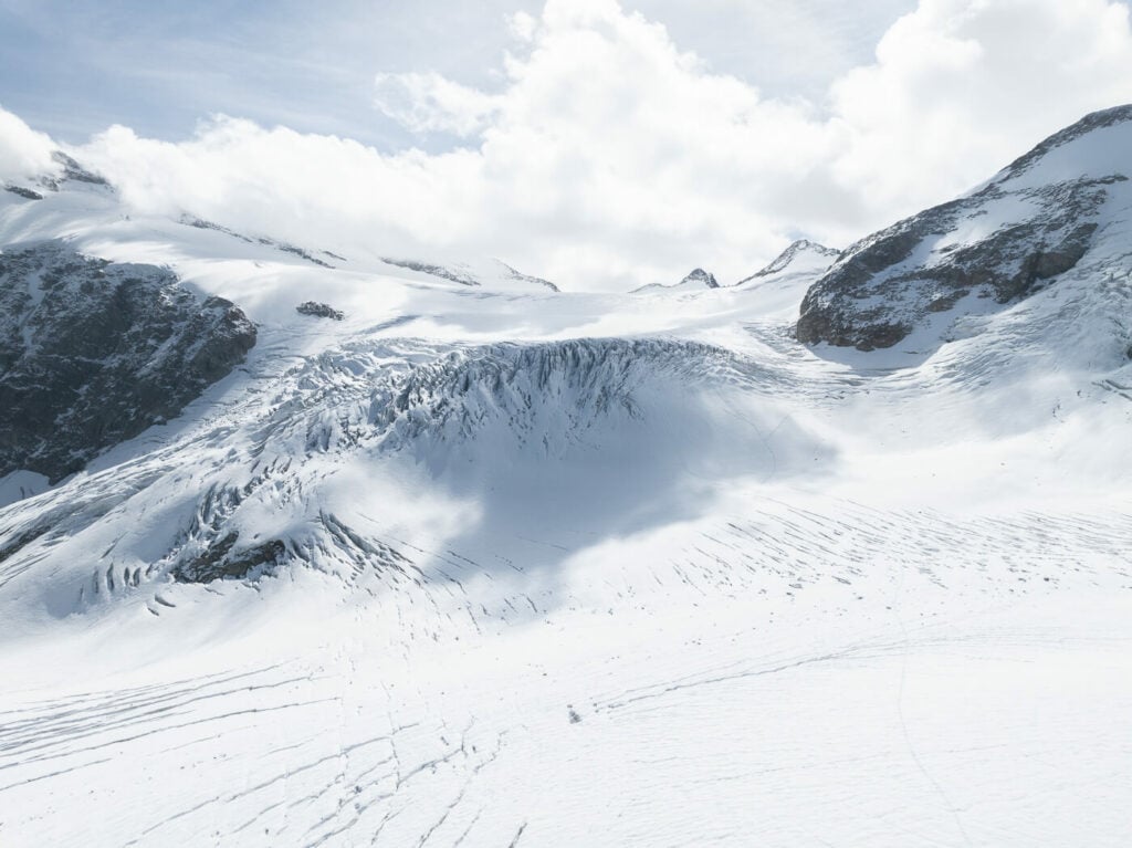
Hopefully this goes without saying, but don’t venture out on the glacier alone. You would need a guide to do that safely.
Last but not least, as previously mentioned, I’d highly recommend the food at the SAC Tierberglihütte. While I did bring some food on this hike, I still could not resist that super tasty soup and savory cake.

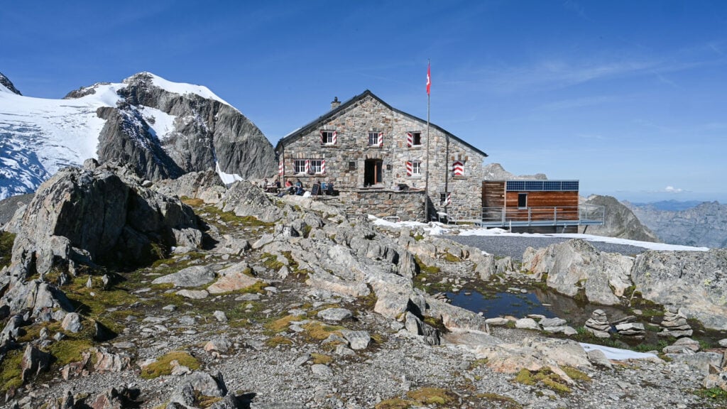
The Tierberglihutte
The Steingletscher Hike Photos and Photography Tips
The two main lookouts on either side of the mountain are the best places to get some landscape photos of the glacier and surrounding mountains. This is an extremely bright location on sunny days, due to sunlight reflecting on the ice. So the contrasts will be hard and difficult to manage if you visit on a sunny day like I did.
Unfortunately, this isn’t a very good location for sunset or sunrise. Since the glacier faces north, so it does not get good sidelight either. However, I did see some sunset drone photos from other landscape photographers, from above the glacier looking toward the north with the Steinsee in the frame. Quite impressive, actually. I don’t have examples of that myself, but I am surely planning on visiting again when conditions are favorable for that type of photo. Anyway, this means you can also use a drone here, provided you comply with all other drone flying regulations. And away from the hut.
Anyway, the whole area offers plenty of landscape and mountain photography opportunities. All the photos have been taken with a 24-70mm lens, full frame. Except for a few drone shots. Here is a gallery of photos I took on my Steingletscher Hike.


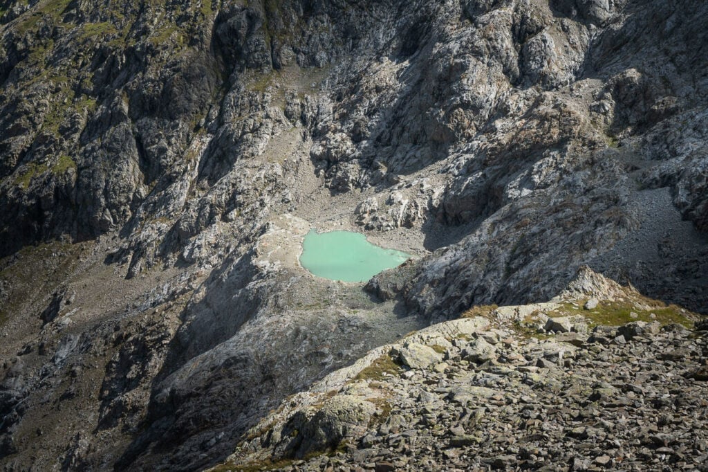






Finally, one last note on photographing the Steinsee. It’s worth stopping by one of the small pullout areas on the way up to the pass. The panoramic views from the sustenpass road are just magnificent. I stopped at this one, to get some majestic views of the Steingletscher and the Steinsee.

Steinsee, view from the road to the Sustenpass.
Video of the Steingletscher Hike
Last but not least, here is a short video of my hike to the Steingletscher – with some final drone footage.
Where to stay
First and foremost, if you want to spend a night up the mountain you can do so at the Tierberglihütte, but you need to book in advance.
If you paid for access to the upper parking on the private road, you can spend the night at one of the parking areas in a van or a camper. There are likely to be a few other campers though this is still a bit of a less frequented location.
Or, again, you could stay at the Berghotel Steingletscher. As an alternative, you could also stay at the top of the Sustenpass, at the Berggasthaus Sustenpass Hospiz.
Additional Resources
- Here is the website of the Tierberglihutte, to check opening times or trail conditions (in German)
- If you are looking for easier hikes with Glacier views, you may want to check out the Rhône Glacier. Alternatively, the Gornergrat and Riffelsee hike in Zermatt, or the Sidelengletscher hike on the Furkapass. For something a little bit out of the ordinary, check out the Chüebodengletscher and Gerenpass Hike. Also, check out the Morteratsch Glacier hike, if you want to see another glacier up close.
- Check out the main Switzerland page for more hikes and an overview of Hiking in Switzerland.


Leave A Comment