
Mirador Glacier Grey Hike, Day Hike to Glacier Grey, Chile, Patagonia
The hike to Mirador Glacier Grey is one of the most popular in Torres del Paine, not only as part of the W trek but also as a day hike. The endpoint is the Mirador Glacier Grey, a lookout from where you can enjoy the stunning view of Glacier Grey and its seemingly endless mass of ice, as well as floating icebergs.
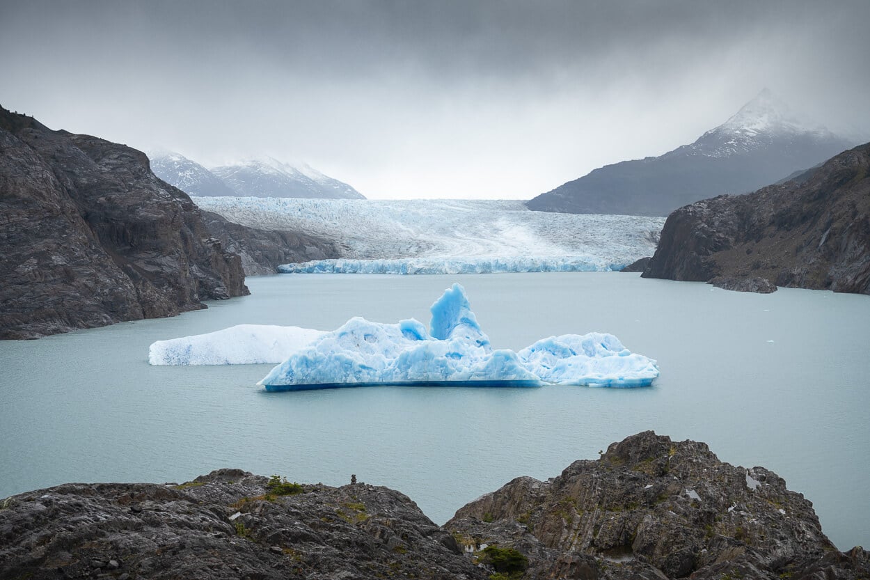
Mirador Glacier Grey
However, it is also a long hike as an out-and-back day hike. That is also how I did it, catching the first Catamaran in the morning. I then returned with time to spare back at the Paine Grande hut to catch the catamaran back to “land”.
| Mirador Glacier Grey Day Hike: Quick Overview |
| • Distance: 24.1 km / 15.0 mi (Out & Back) | Time: 6h 00m–7h 30m | Difficulty: Moderate | Trail: Paine Grande Hut to Mirador Glacier Grey |
| • Start & Access: Paine Grande Hut, via Pudeto Catamaran |
| • Best Season & Light: October 1 to April 30 / Early Morning Ferry Start (For return catamaran connection) |
For most of the hike, you will walk with Lago Gray to your left, and Paine Grande massif and its peak to your right – and you do feel as if you are getting more and more into the remote Patagonia wilderness with each step.
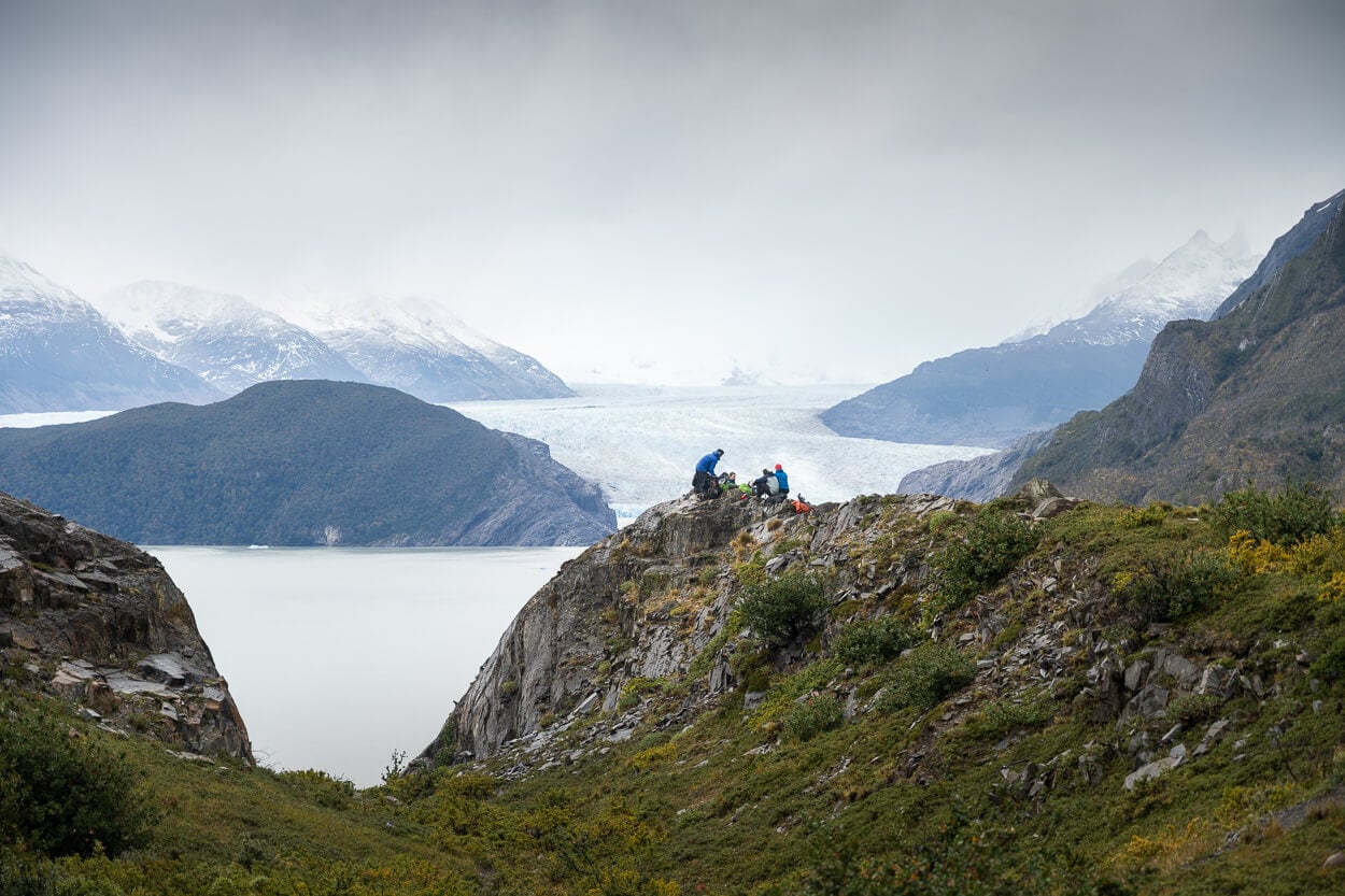
Mirador Grey, another mirador situated about halfway between Paine Grande and Mirador Glaciar Grey.
That until you reach Refugio Grey first, and then take the short walk to the Mirador Glaciar Grey, above the lake. If you are wondering the name of the lake, Grey, simply derives from the color of its silt-rich glacial waters. That is basically all the sediment the melting glacier brings with it.
Table of Contents
Overview of the Mirador Glacier Grey Hike & Map
First off: the Mirador Glacier Grey from Paine Grande via the Pudeto Catamaran is typically only possible from October 1 through April 30. That is because of the Catamaran schedule, which reduces operations in the winter months. Plus, the reduced daylight compared to summer, and the qualified guide requirements for winter. Apart from the Catamaran, you also need to purchase the Pass to enter Torres del Paine. Best to do it early online, on the official Torres del Paine website.
Overall, the hike, although long, is not particularly difficult. The trail is well-marked and easy to follow at all times. It’s rather rocky in places, though, which can be slippery on rainy days. I did it in the rain, too.
If you are planning to do this as an out-and-back day hike, it’s best to catch the first catamaran from Estancia Pudeto out to Paine Grande in the morning. This should give you enough time to complete the trail with some time to spare for any eventuality.
Here are the full details of the hike. You can download the GPX file for free from the activity linked below.
| Max Altitude | 272 m / 892 ft |
| Distance | 24.1 km / 14.97 miles (Out & Back) |
| Elevation Gain | 650 m ↑ / 650 m ↓ (2,132 ft) |
| Hike Duration | 6.0 – 7.5 hours |
| Hike Difficulty | Moderate (Physically demanding distance; rocky paths that can be slippery when wet) |
| Trailhead Coordinates | Paine Grande Hut (-51.0667° S, -73.0833° W) |
| Required Gear | Sturdy, waterproof hiking boots, windproof & waterproof layers (Patagonian weather), camera |
| GPS Track | Download Glacier Grey GPX Track |
Here is also the map of the hike. It’s interactive, so you can zoom/pan to explore the area in depth.
How to get to the Mirador Glacier Grey Trailhead and Parking
Getting to the trailhead requires a two-step process. Getting to the Estancia Pudeto first, and catch the Catamaran to the Paine Grand hut, where the trailhead is, to catch the catamaran. Then, after a relatively short catamaran ride, you can start the actual hike from the Refugio Paine Grande.
- Driving Directions: Estancia Pudeto is easily accessible from Route Y-150, a (mostly) gravel road that crosses the Torres del Paine National Park. From Puerto Natales, it’s best to take Route 9 north, then take the Y-150 until the junction with Estancia Pudeto. The drive takes a couple of hours.
- Parking: Parking is available at Estancia Pudeto, next to the dock.
- Public Transport: If you are staying in Puerto Natales, it is technically feasible but very tight, and there is not much room for delays. You’ll need to prebook everything, and pace your hike accordingly. You could take the first bus out from Puerto Natales’ Bus Station, or a company like Bus Sur. You should be at Estancia Pudeto by around 10 am to catch the 10:30 am Catamaran. That allows you to start the hike at about 11 am, then catch the last catamaran back at 18:35. Then catch the last bus back to Puerto Natales from there. I completed the hike in about 6 hours, keeping a pace of 4km/h on average. Assuming a start at 11 am, that would have put me back at Paine Grande at about 5 pm.
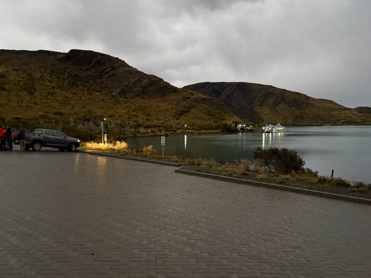
Estancia Pudeto, the place to catch the Catamaran to Paine Grande.
Booking the Pudeto Catamaran to Paine Grande
The Catamaran has its own booking website. I’d highly recommend booking in advance both the ride out and the ride back. That’s also what I did. As I understand, they have some spaces for last-minute arrivals or tickets on the spot, but if the boat is at payload, you may not be able to board, on either.
The Catamaran ride takes about 30 minutes, and it is, of course, a scenic boat ride, with views of the Paine Grande massif and the “Cuernos”.
Then, as you board the catamaran, the rangers will brief you about the park rules, both in Spanish and in English. And then the 30-minute catamaran ride begins.
I also booked a spot on the first outbound catamaran out in the morning, and the last one of the last outbound one in the evening. However, I was able to catch an earlier one. I asked the staff, and they had enough space. If you find yourself in the same situation, it’s worth asking.
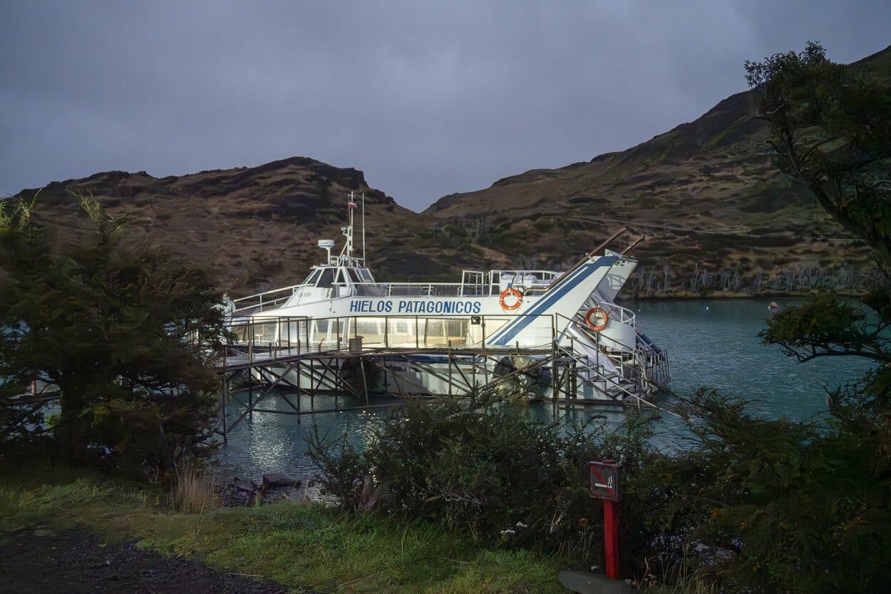
The Pudeto Catamaran.
The Hiking Trail to Mirador Glacier Grey
The boat will leave you on a dock situated about 200m from Refugio Paine Grande. The Refugio feels more like a Resort or a Hotel than a hut from the outside. However, as you look around, the feeling of being in a remote outpost is real.
From the dock, you can walk past the Refugio toward the other small building, which is the Visitors Center. And, past that, the hike has officially started.
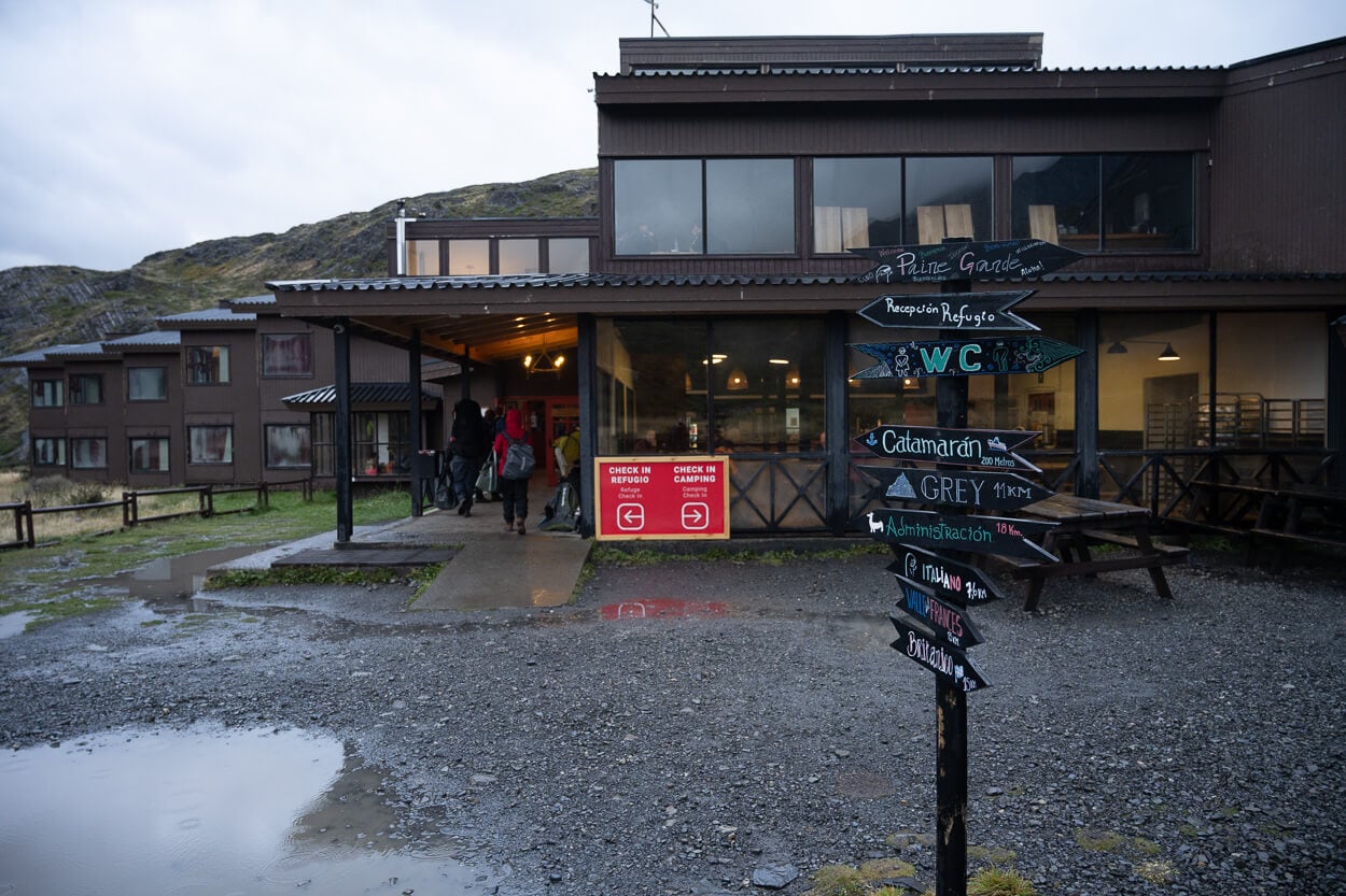
Refugio Paine Grande entrance.
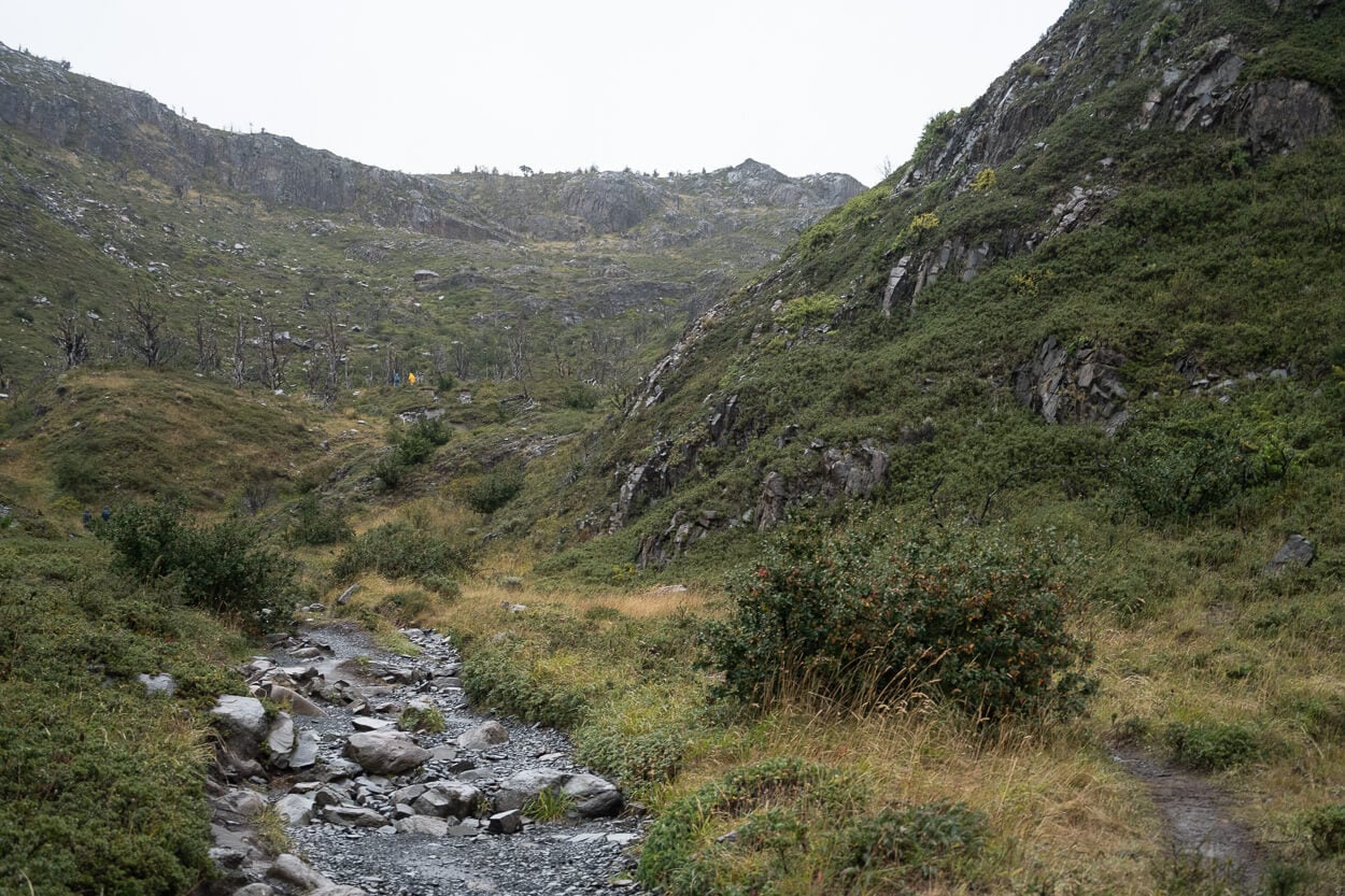
The trail initially passes through a narrow valley.
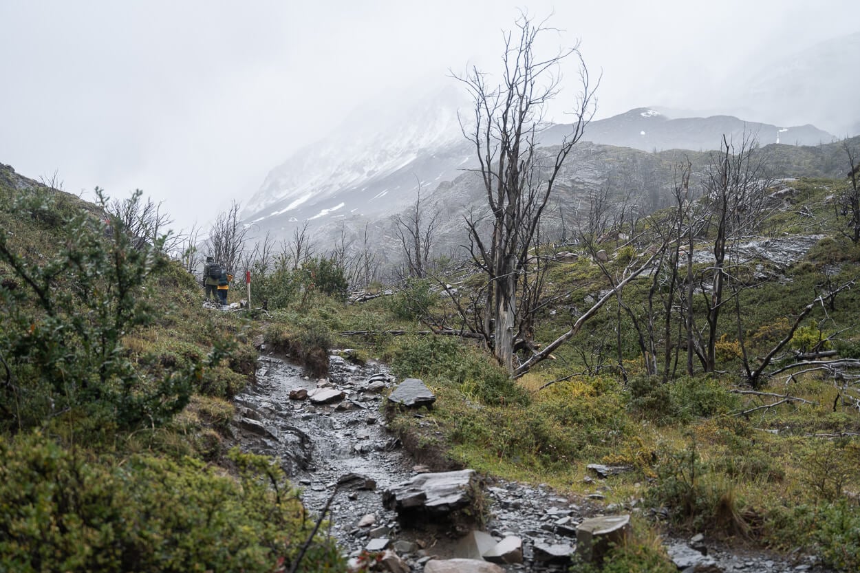
Several stretches of the trail still show what’s left of a wildfire that destroyed much of the vegetation in 2011.
As you pass by the Visitors Center, the trail enters a narrow valley and starts climbing up the rocky side of a small hill. Here you are surrounded by charred tree remains. Those burnt trees are a reminder of the 2011-12 wildfires, the result of a tourist failing to properly extinguish a fire that started to burn toilet paper (source).
In this first stretch, much of the hike will pass through the remains of that burnt forest. However, it’s not long before you reach a crest where you can see Lago Grey – and possibly a few small icebergs floating around.
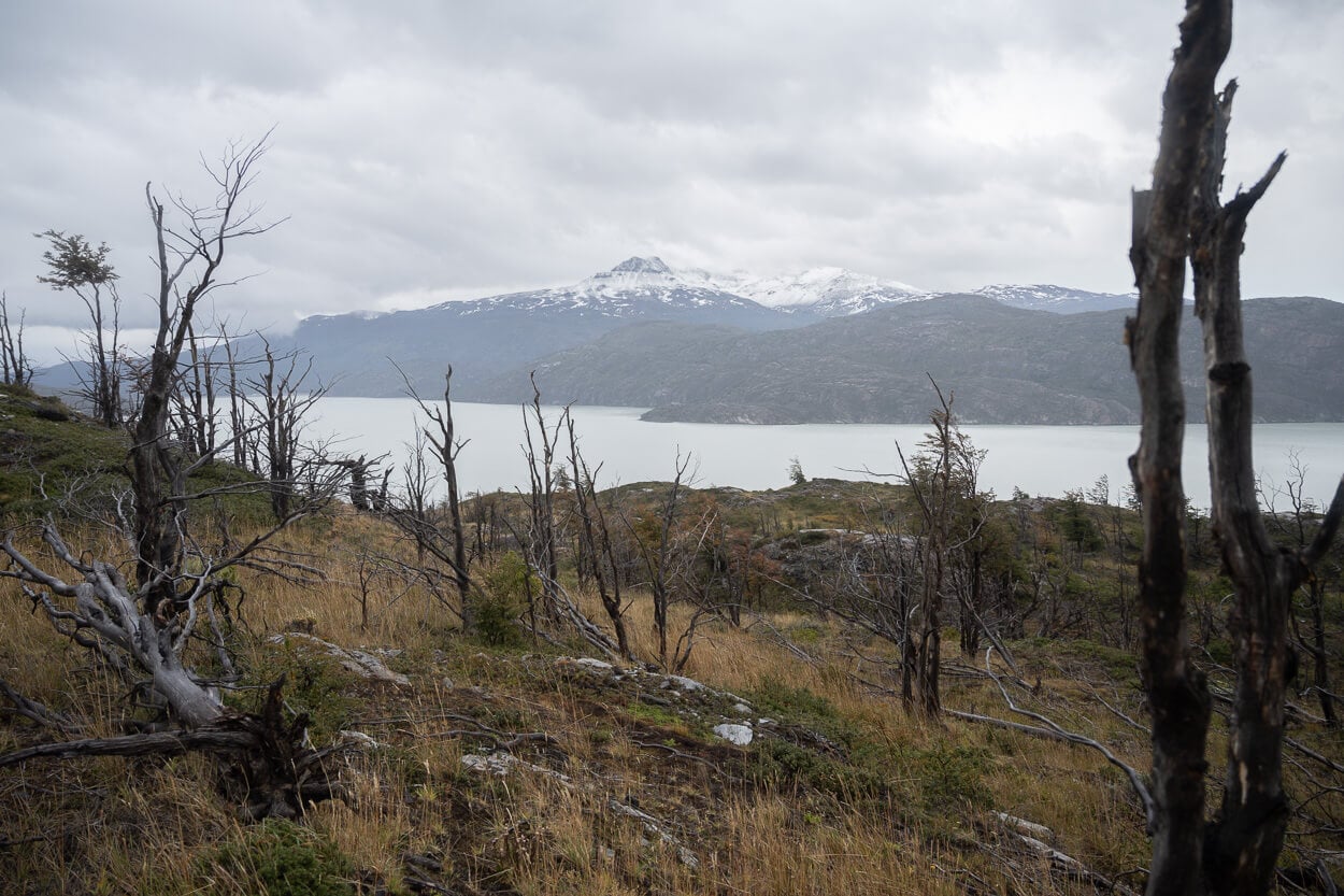
Not long after, you’ll catch the first view of Lago Grey
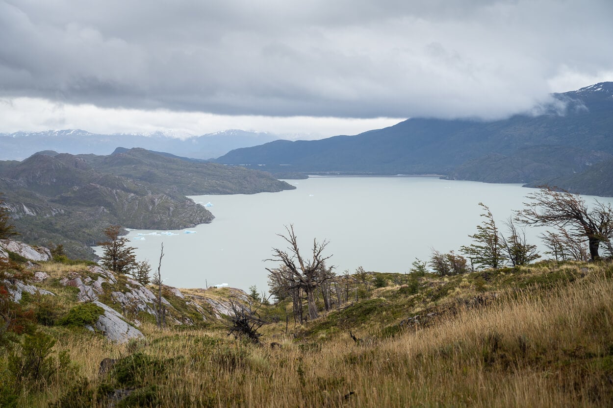
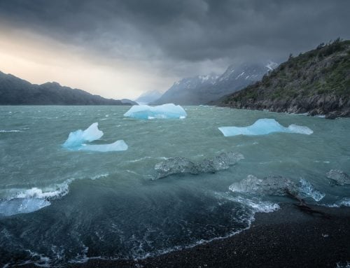
It’s possible to see some small icebergs floating in the lake too.
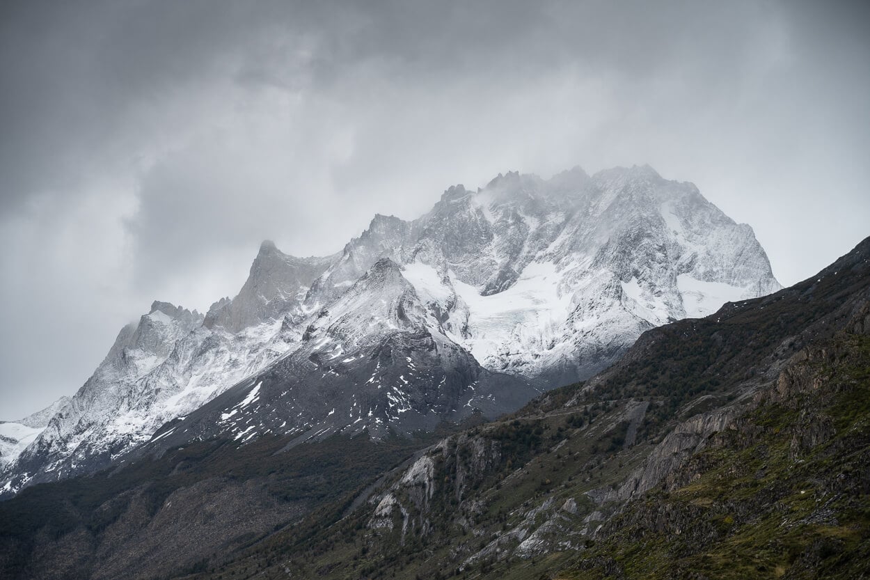
And, on the opposite side, the jagged peaks of the Paine Grande.
For the most part, the trail is rather wide and flat here, and it is not long before the first sight of the glacier also appears in the distance. The trail continues like that for a few kilometers, sandwiched between the mountains of the Paine Grande Massif and the vegetation above the lake.
From here, it does not take long to reach the first Mirador, Mirador Grey.
Mirador Grey
About halfway through the trail, you will reach the first Mirador, Mirador Grey. It’s a lookout situated on a small rocky outcrop above the lake that provides a first glimpse of what awaits at the end of the trail.
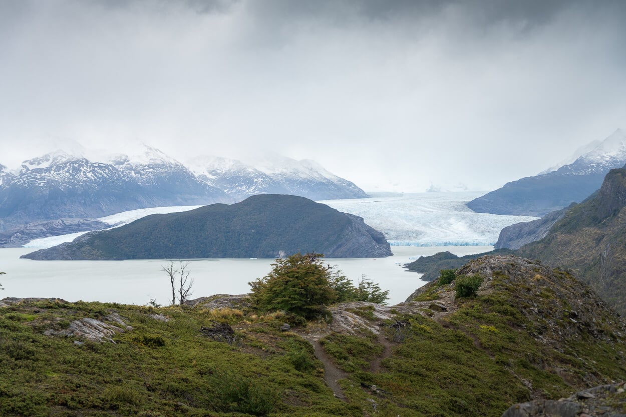
Mirador Grey. Although the Glacier is still several KMs away, you get a good sense of its true size.
Hikers enjoying the views and their time on the trail at Mirador Grey.
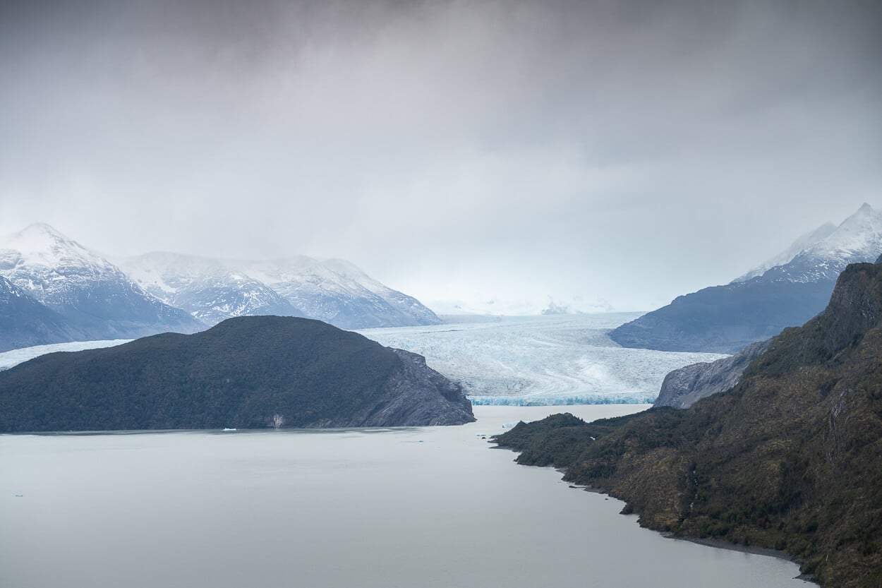
View from Mirador Grey.
From Mirador Grey, the trail initially continues downhill at first, descending toward the lake, then as you reach the lowest point, the trail flattens and continues with short up and downhill sections for a while. It will also pass by Puente Olguin, which is where the infamous 2011-12 fire started. A plaque notifies visitors of what happened there and the effort required to completely extinguish it. Here, there are also more visible remains of that fire.
The Puente, or bridge, offers a nice view of the river streaming past it. Then the trail continues toward the other Refugio, Refugio Grey, which, at this point on the trail, is not very far. As you approach the Refugio, you also get a glimpse of how the forest looked before burning, as that section was spared by the fires.
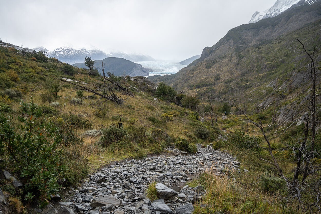
From Mirador Grey, the trail initially continues downhill.
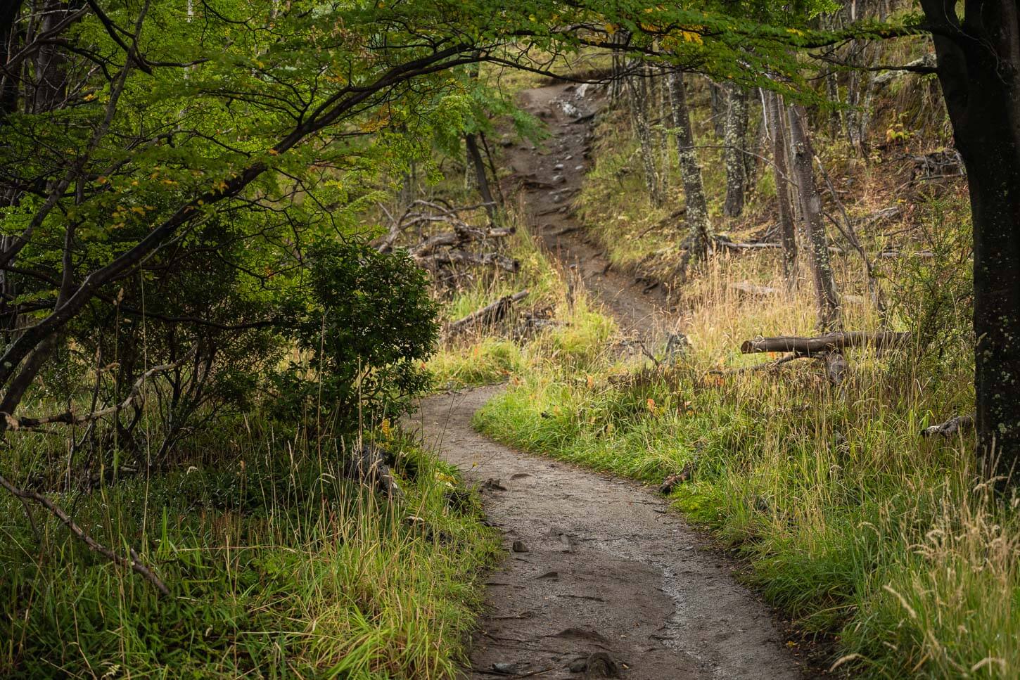
Toward Refugio Grey, there are still some stretches of forest that the fire spared.
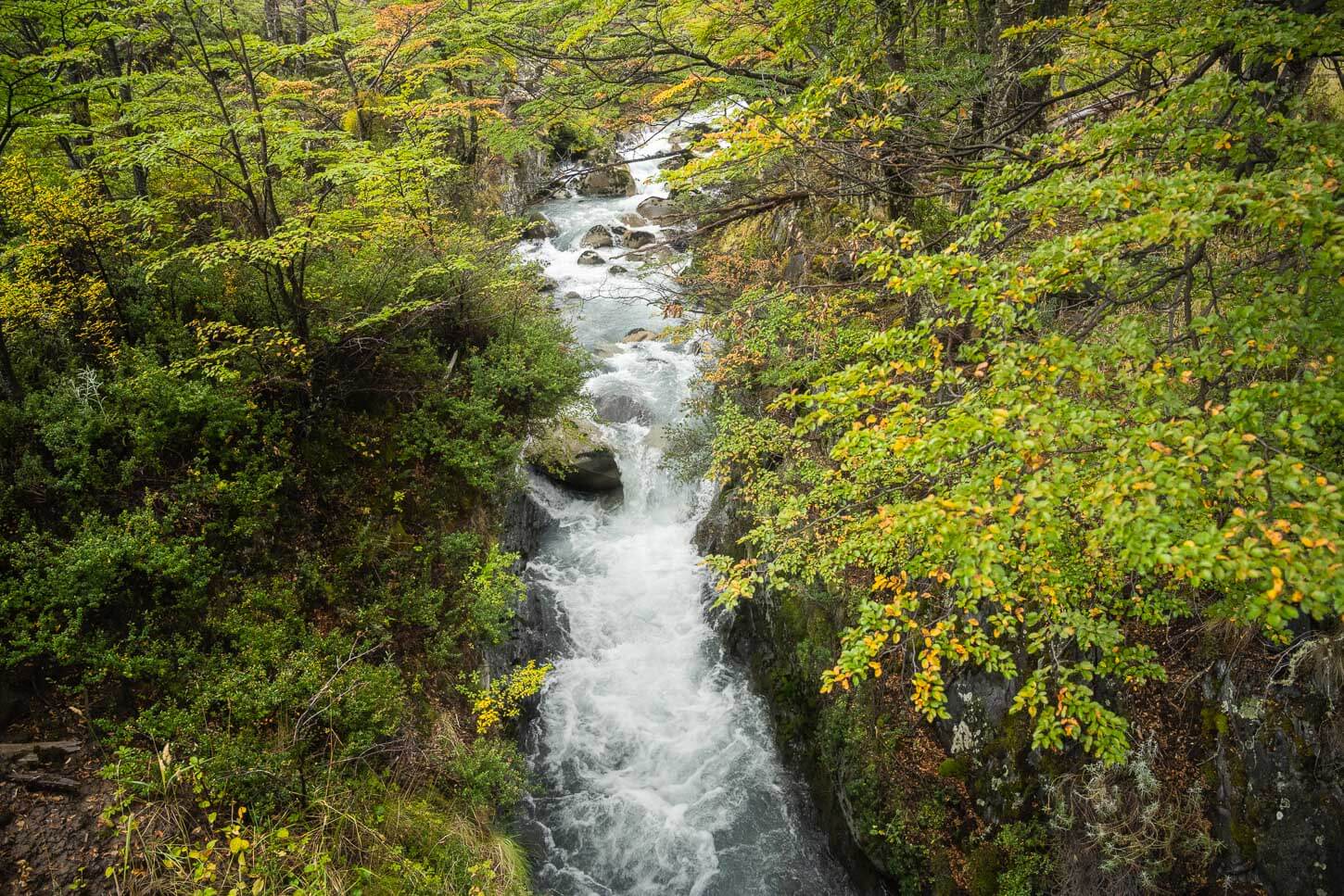
View from Puente Olguin.
Refugio Grey and Mirador Glacier Grey
As you complete the last short climb, you’ll see Refugio Grey’s roof emerging from the thick vegetation around it. It’s a short walk to the hut from there. A welcoming place where you can stop at the bar for a hot drink or a meal. Or just for a hot coffee and a chocolate snack at the small shop – same as I did, but on the way back, before tackling the hike back to Refugio Paine Grande.
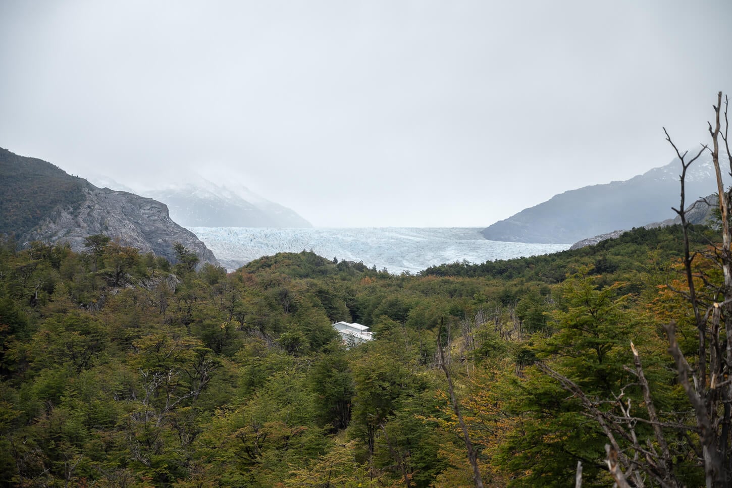
Refugio Grey’s roof emerging from the canopy
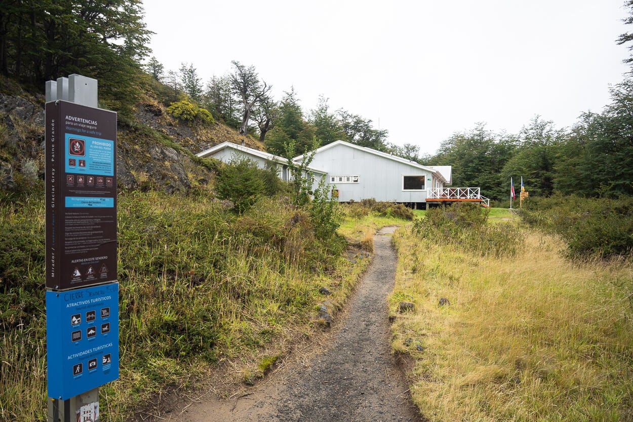
Arriving at Refugio Grey.
From the hut, it’s a short 15-minute walk to the Mirador. There are actually two main viewpoints. A higher-up viewpoint to your left, and another one below it.
The higher-up viewpoint provides better views of the glacier’s front and the lake, as well as the surrounding landscape. The lower viewpoint provides better views of the small icebergs that got stuck in a small inlet.
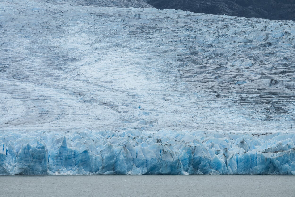
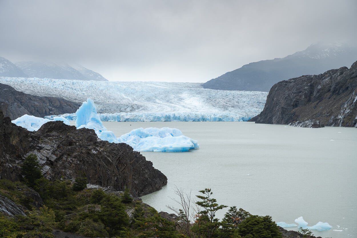
The two viewpoints are not directly connected, so you can pick one first, then backtrack and visit the second one. I visited the higher-up one first, to get the views of the whole glacier. The glacier’s front is approximately 1km north of the Mirador. Not exactly close, but the view of its vast expanse of ice is impressive.
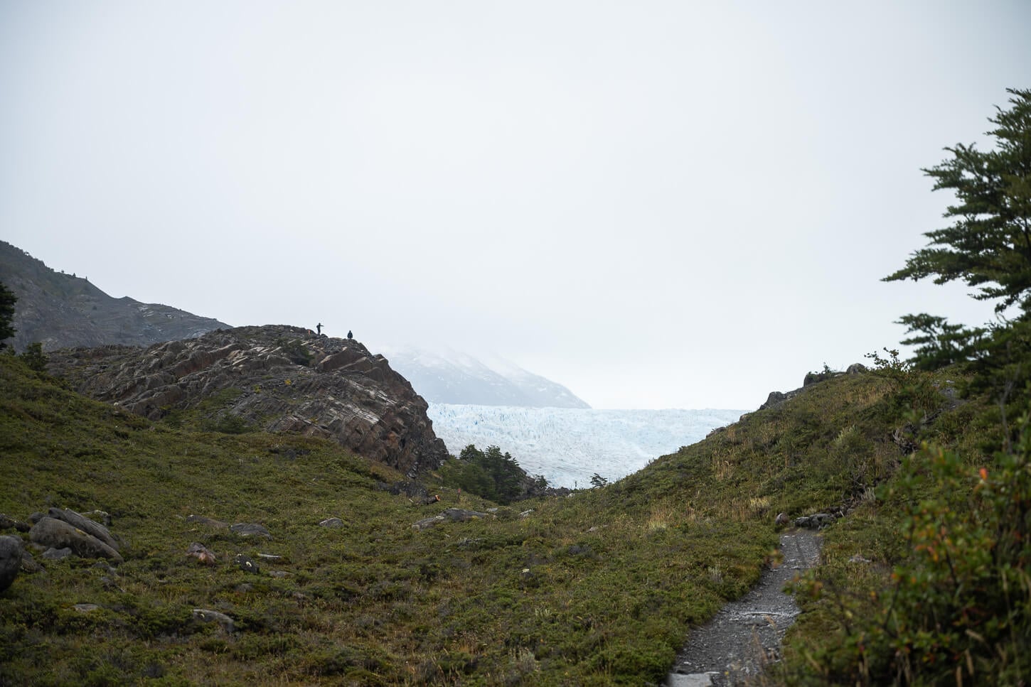
The last section of the trail to Morador Glacier Grey, on the upper left.
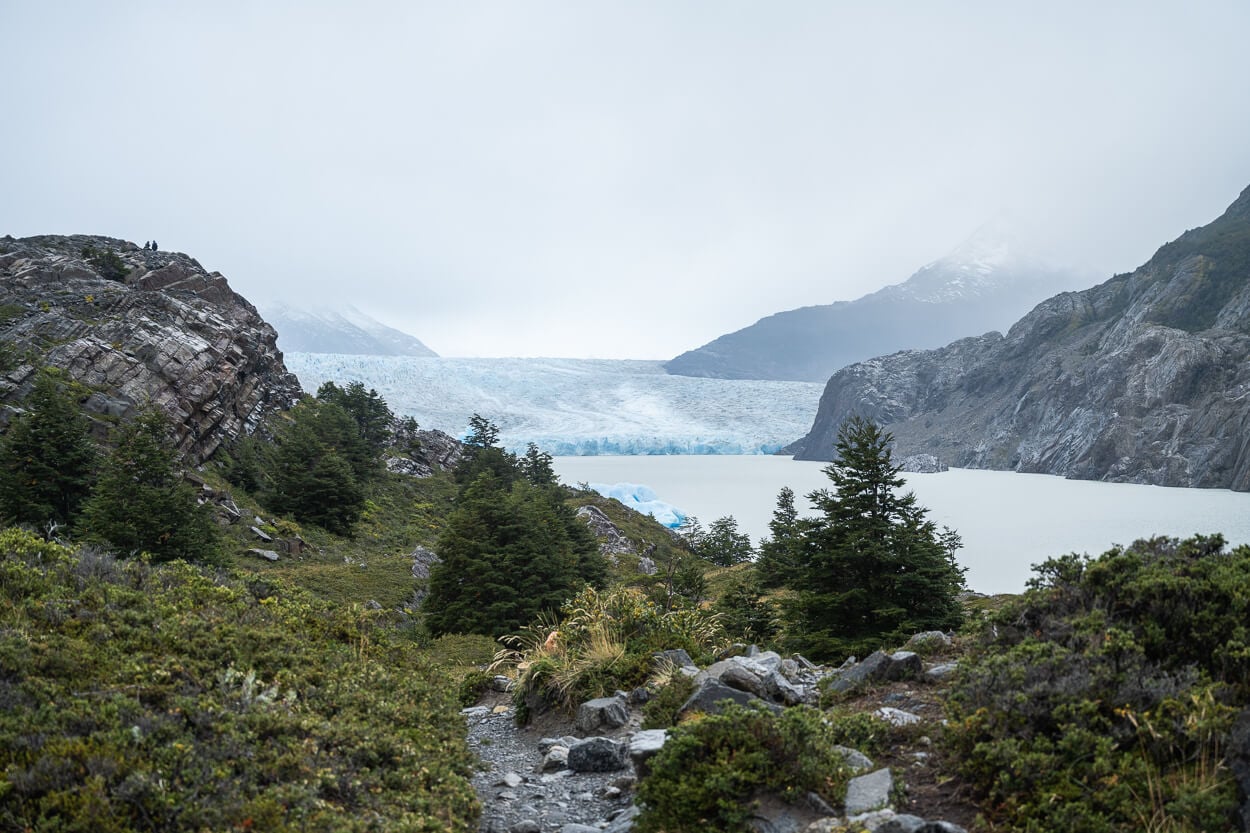
View from Mirador Glacier Grey. The glacier is about 1km north of the Mirador.
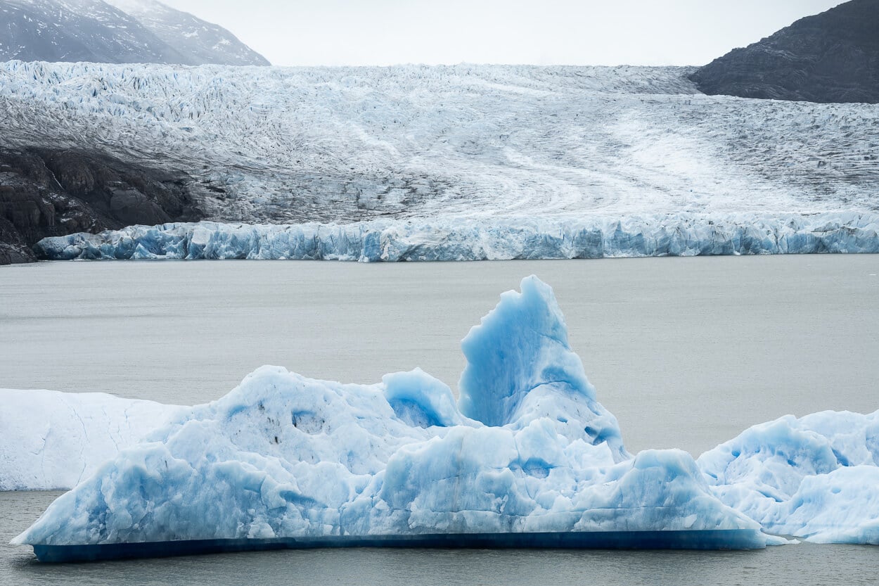
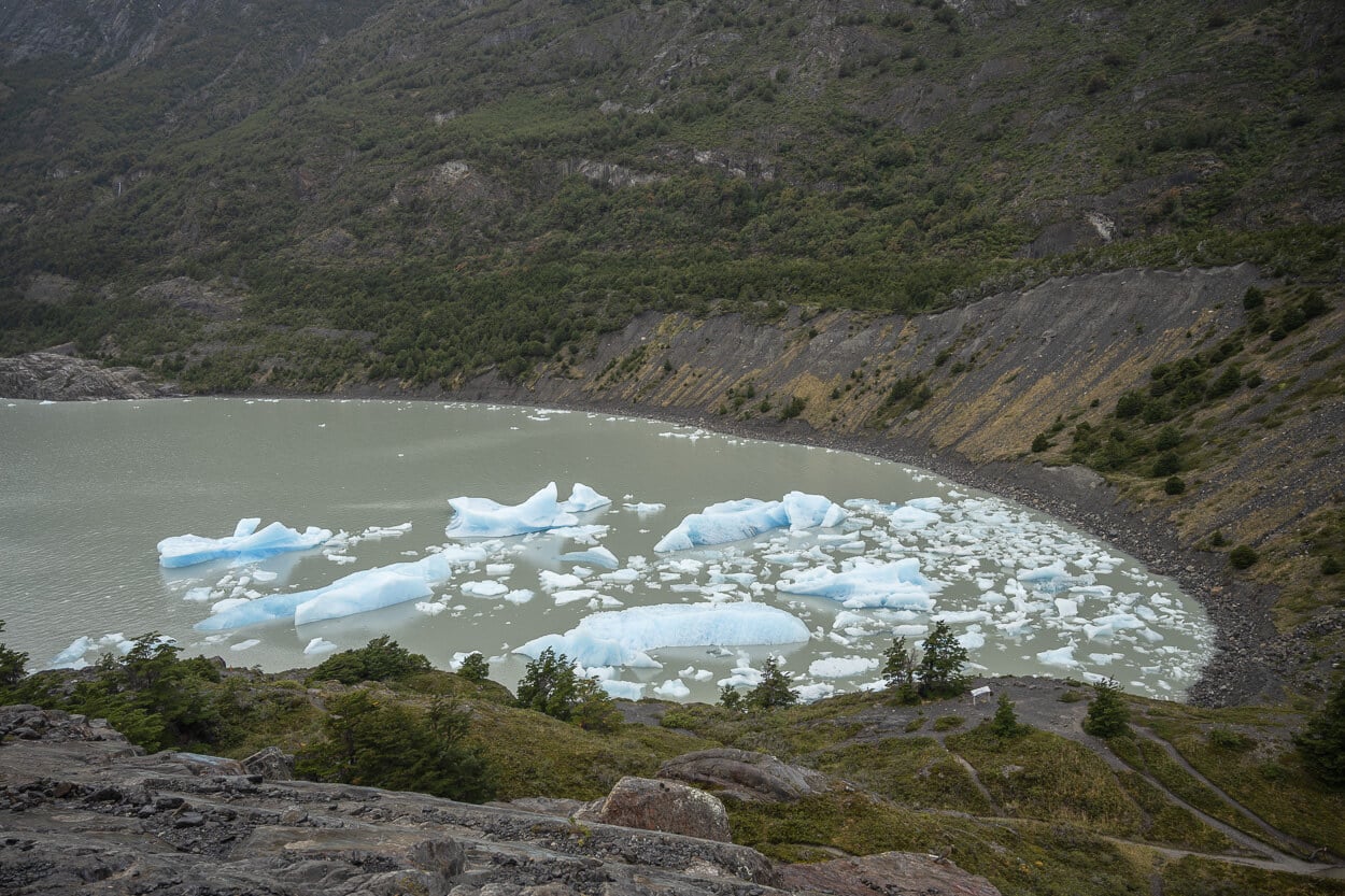
There is also a small inlet where icebergs get trapped.
The lower viewpoint, however, offers a much closer view of the icebergs stuck in the inlet. It’s a nice little “iceberg lagoon” where you can see icebergs in the size of a small football, to the size of a truck. One can’t help but wonder how long these icebergs have been stuck there, and for how much longer they will.
Then it’s time to go back to Refugio Grey first, before hiking all the way back to Paine Grande to catch the Catamaran back to Estancia Pudeto.
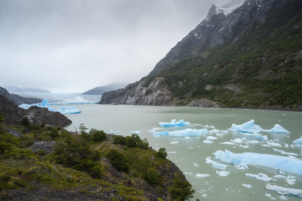
The lower viewpoint offers closer views of the Icebergs stuck in the small inlet.
Mirador Glacier Grey Photos and Photography Tips
Photographically speaking, this is a trail that offers the most photogenic views at the beginning, in the middle, and at the end of the trail. At the beginning, you have great views of the “Cuernos” if the sky is clear. In the middle, you have Mirador Grey with the fantastic view of the seemingly endless glacier in the distance. Then, of course, Mirador Glacier Grey.
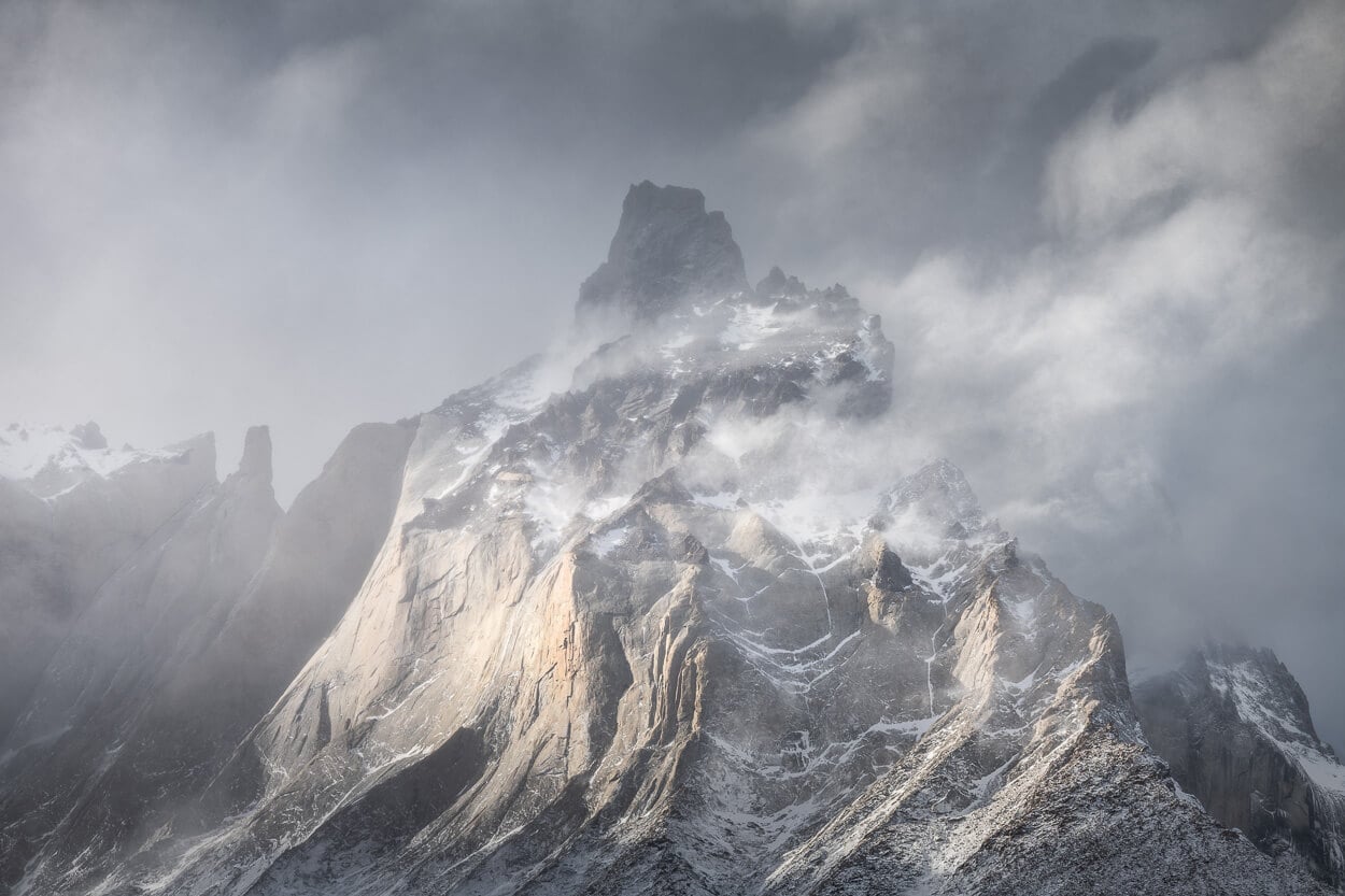
Cuernos del Paine – view from Refugio Paine Grande. Taken at 220mm, full frame.
Mirador Grey.
Glavier Grey – photo for Mirador Grey.
I had two lenses with me on this hike: the 24-70mm and the 10-400mm, full frame. Reason being the glacier and all the other landscape features are quite far, so it did not make sense to lug an ultra-wide lens for 20km. So, for my personal preference, it made more sense to lug around the 100-400, for the very same reason of not bringing the ultra wide lens; the wide open spaces.
And – the possibility of coming across wildlife. I did see one gigantic Condor, and of course, but I had already stored the lens away in the backpack, so I had to resort to my mobile camera as the condor gracefully glided above my head.
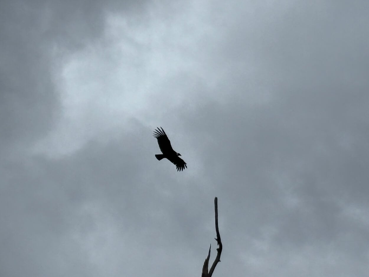
A condor flying above the trail – probably about 2.5 meters wingspan
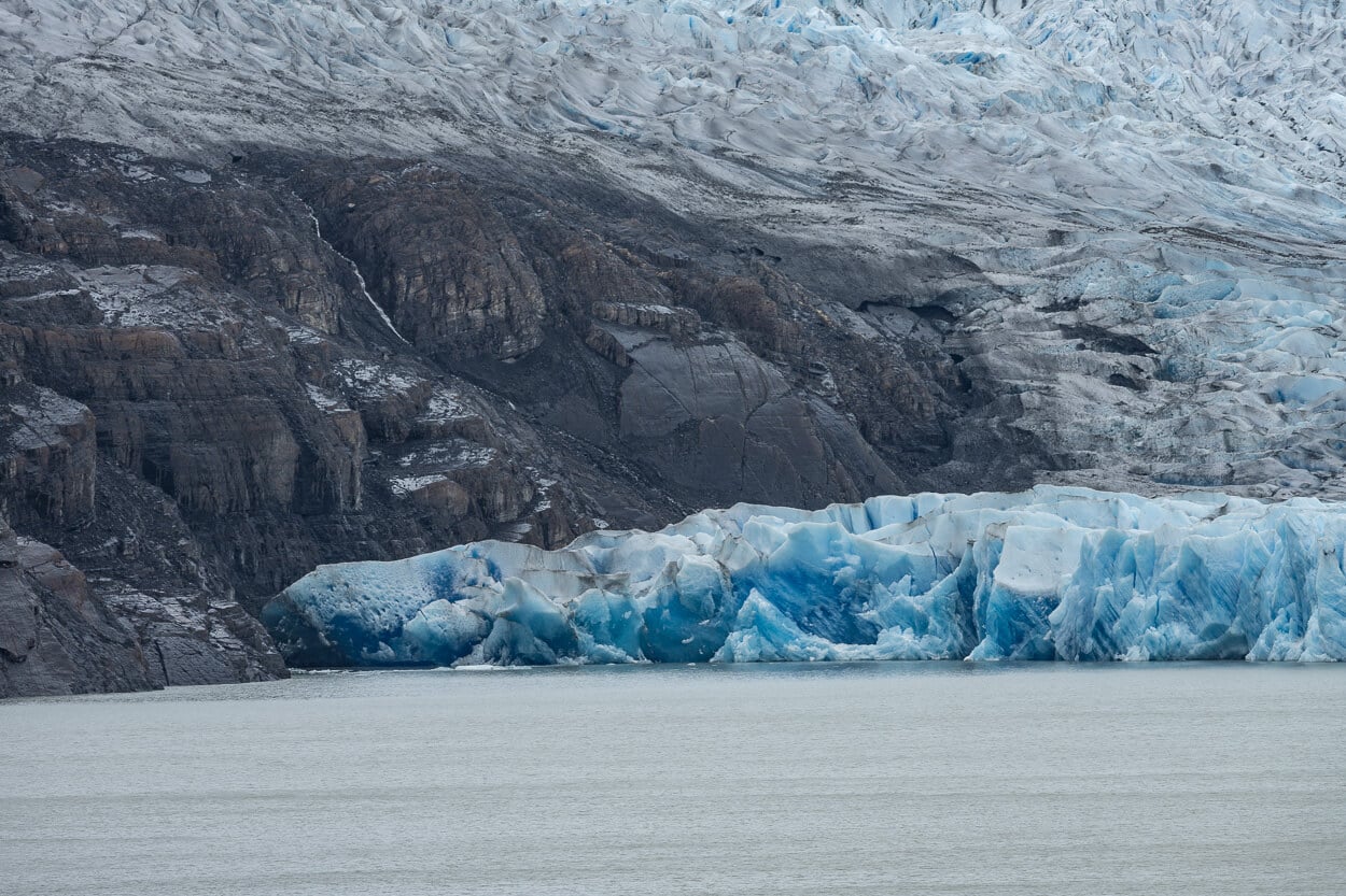
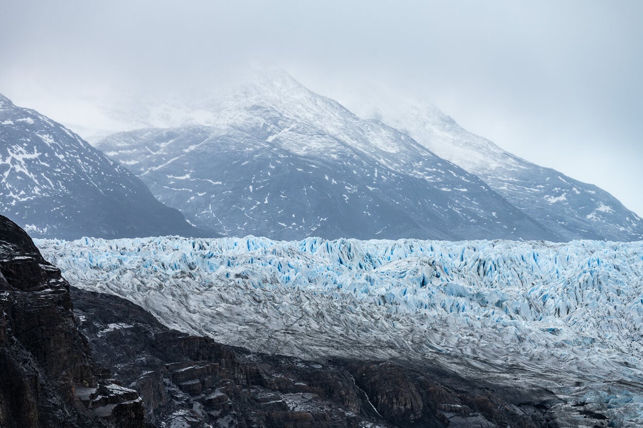
So I would recommend bringing at least a medium to long telephoto lens to make the best of what you come across. That also comes in handy at the Mirador, considering how far the Glacier’s front is.
Even then, it’s quite hard to render its true size, with no reference point near it.
Where to Stay
As I mentioned earlier, doing it as a day hike from Puerto Natales is feasible on paper; it’s very tight with little room for delays. Best to stay in the Park – I stayed at Hosteria Pehoé, which is relatively affordable if booked with enough advance notice, and the drive to Estancia Pudeto takes just about 15 minutes.
Additional Resources
- Here is also my Torres del Paine Hiking and Photography guide, a useful read if you are planning a trip to TDP.
- For more hikes and photo locations in Chile, check out the main Hiking in Chile page.
- If you are planning a trip to Torres del Paine, you may also want to check out my Hiking Guide: Base Torres Sunrise Hike.
- Links to book the Catamaran and your tickets for Torres del Paine.

Leave A Comment