The Glattalpsee and Ortstock Hike, Switzerland
This hike has two major points of interest; Glattalpsee and Ortstock. Glattalpsee is a beautiful alpine lake tucked into a narrow valley surrounded by cliffs and rocky mountains. Ortstock is one of those peaks, and the view from its summit is simply spectacular.
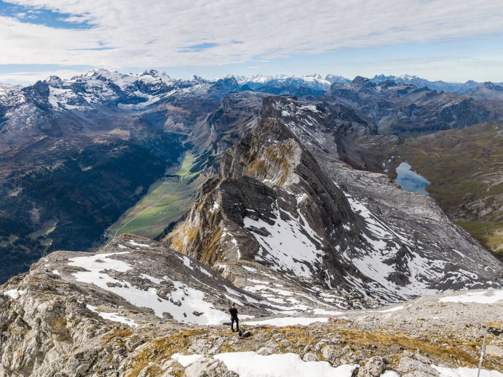
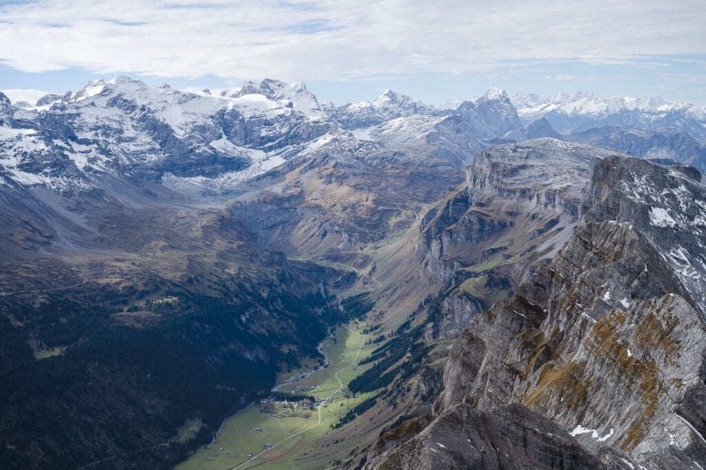
View from the top of Ortstock; the Klausenpass is on the left, and Glattalp on the right.
If you enjoy a hike that is a bit challenging, this hike may be for you. While the first part of the trail is essentially a gravel road and presents no difficulties, the ascent to the top is a little more challenging. Steep slopes with loose rocks, a 4m. rock face that needs to be climbed with the help of a chain…and more rocks.
However, if you don’t enjoy a challenging hike..this hike may also be for you :)! The lake is a very scenic spot. You can walk around the lake, take a nap in the shadow of a boulder or have something to drink or eat at one of the two huts close to the lake.
Either way, you are sure to enjoy your day here.
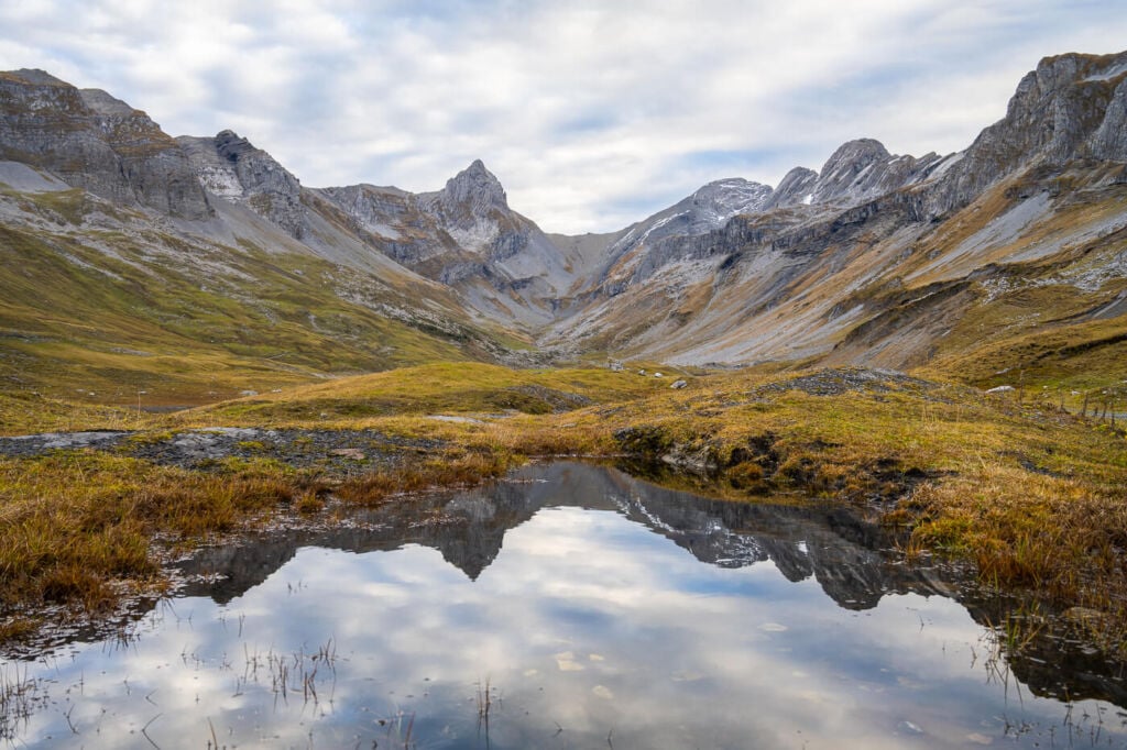
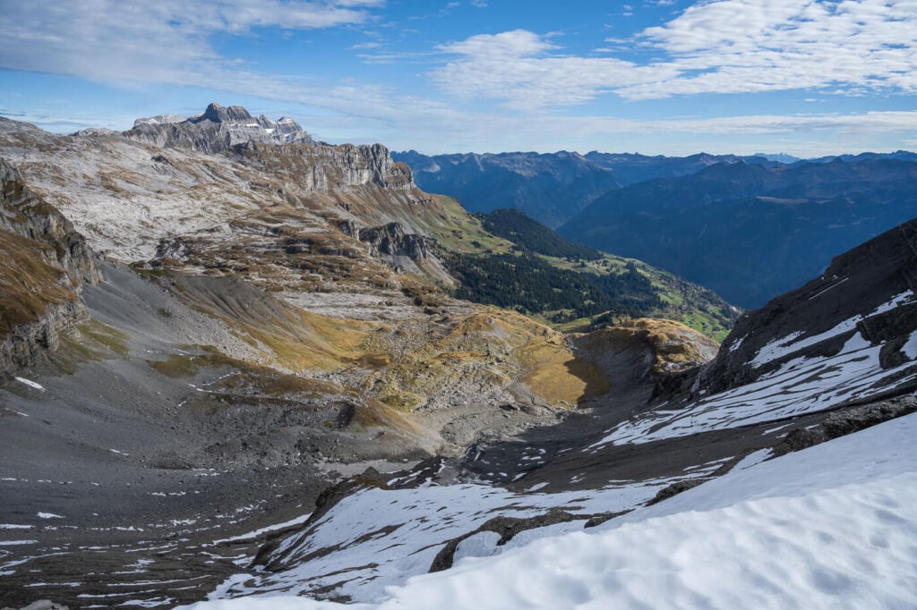
The alpine landscape around Glattalp
Outline of the Glattalpsee and Ortstock Hike
- How to get to Glattalpsee and Parking: To get there, you would need to drive through the beautiful and picturesque Muothathal Valley, past Bisisthal and up to Sahli, the valley station. Parking is available on the spot. Click here for directions to the parking lot. It is also possible to get to the cable car by bus. You can find the bus schedule on this page. I’d recommend using the SBB app to plan the trip by public transport.
- Start of The Hike: the cable car’s mountain station. Technically it’s also possible to hike all the way up from the valley station, but keep in mind that will add one hour/ one hour and a half and 70om elevation gain to the hike. This would, however, make the hike much more strenuous than it already is.
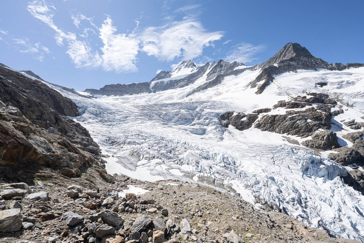
- Photography & Scenery value: Alpine landscape, glaciers and a beautiful lake.
- Hike Difficulty: Moderate/Hard. Not particularly hard for experienced hikers, but some parts of the trail are a scree field on a steep slope. There also is a 3/4m tall rock wall that needs to be climbed with the help of a chain.
- Tip: this, like most reasonably accessible hikes, can get pretty crowded in summer. It pays off to be out on the trail early. It will allow you to enjoy the summit without many people around. That also pays off if you plan to ride the cable car down. The lake is a popular spot; in the afternoon, there can be long queues to catch a ride. You can also hike down if you prefer. It takes about an hour to walk from the mountain station down to the valley station, should you wish to do so.
On the Trail
| Distance | Elevation Gain | Hike Time |
|---|---|---|
| 14.5 Km | 990 m. | 5:00 / 6:00 Hrs |
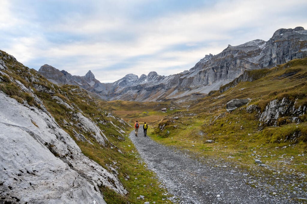
Hikers on the trail to Glattalp.
The hike to Glattalpsee – a beautiful, scenic Alpine Lake
As you leave the mountains station of the cable car, you can follow the gravel road around the corner of the station. The mountainous and rocky landscape will slowly reveal itself as you progress further. Ten minutes into the hike, the road will split in two, with one trail to the left and one to the right. You can take any of the two, as each trail will follow the opposite side of the lake and converge again at the far side.
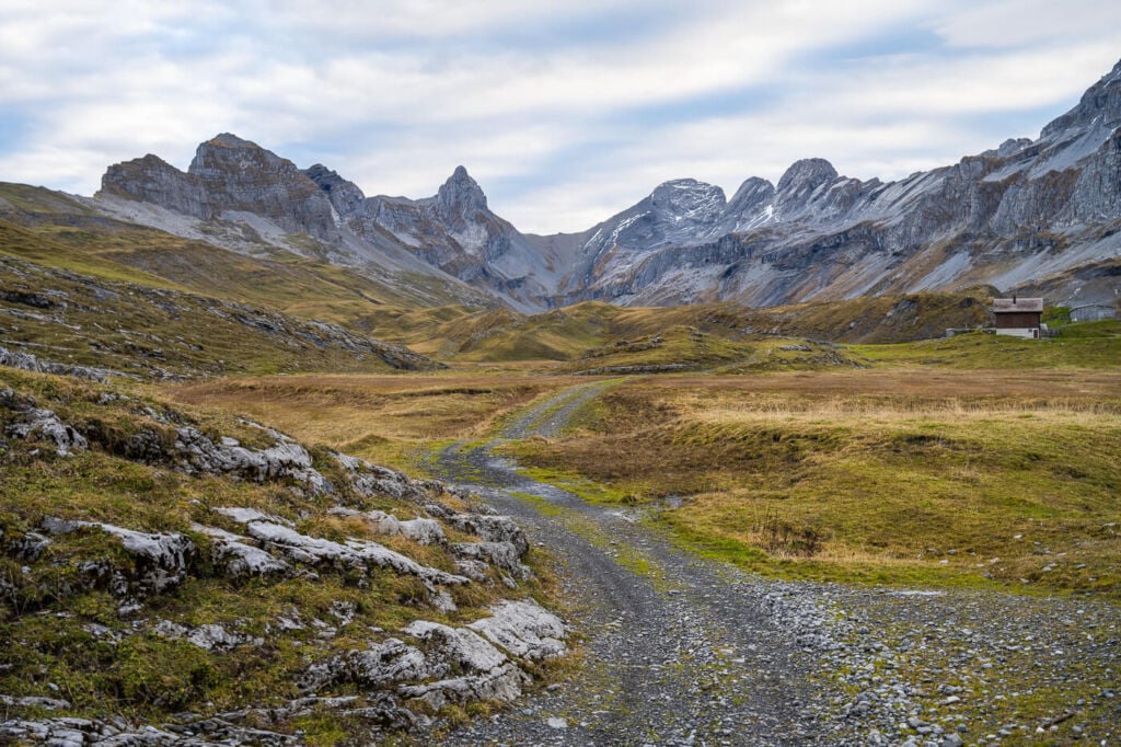
The road to Glattalpsee.
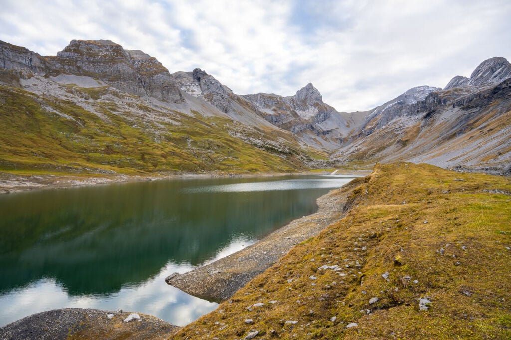
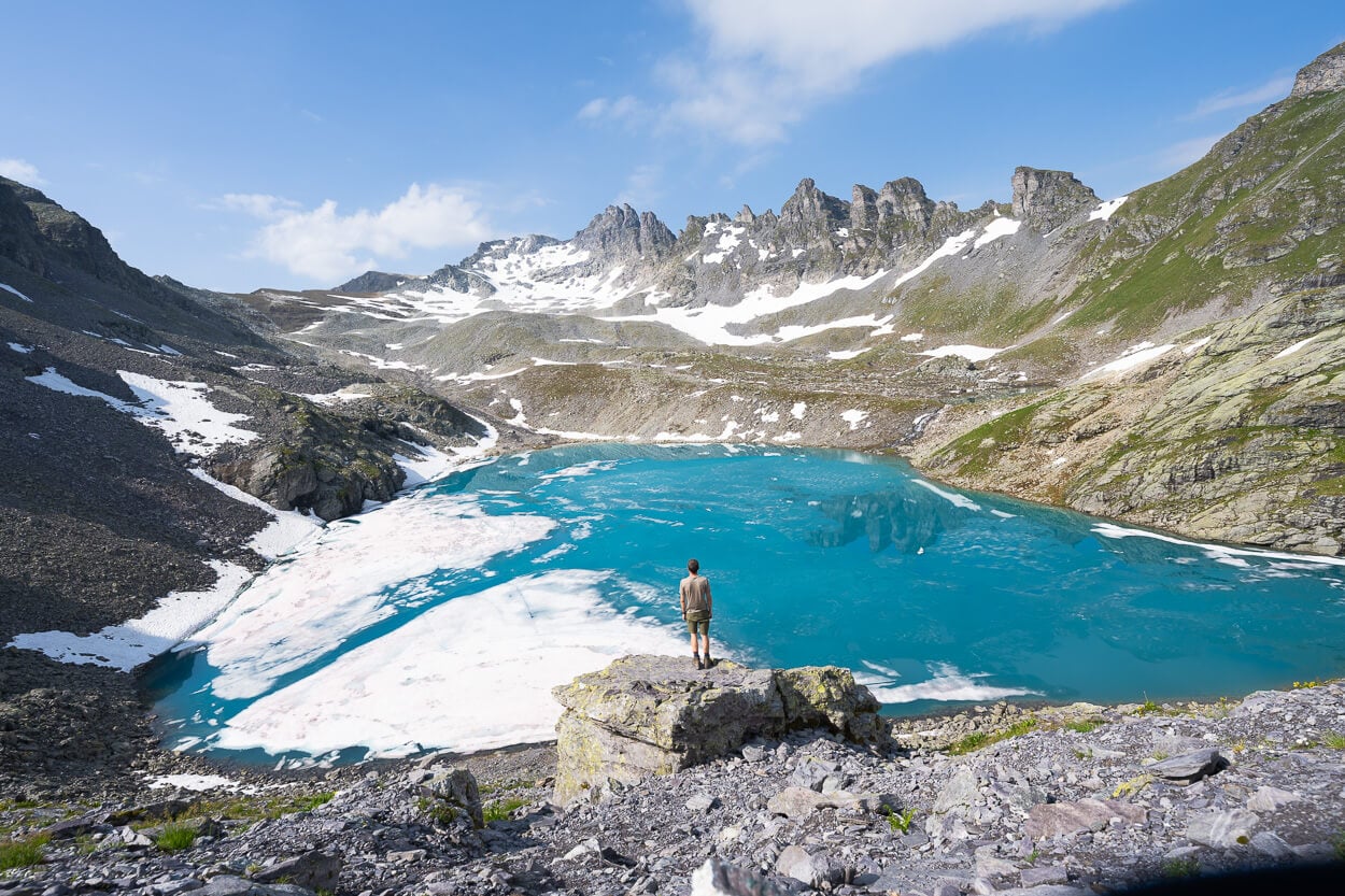
Glattalpsee
The first part of the hike is essentially a walk on flat ground. For the first 2/3 KMs, you will walk on the same gravel road alongside the lake. However, the lake itself is not immediately visible from the road. To get the best views, you can walk on the ridge by the side of the lake for better views. Mind your step, though; these are summer pastures for the local gangs of sheep and cows :).
You can circle back in a loop when you reach the lake’s far end. If you continue further, you will need to hike up to the small saddle in between the two imposing peaks in from of you. Ortstock will be the somewhat rounded mountain on your right-hand side.
At this point of the hike, Ortstock will look deceivingly close.

The small creek that feeds Glattalpsee
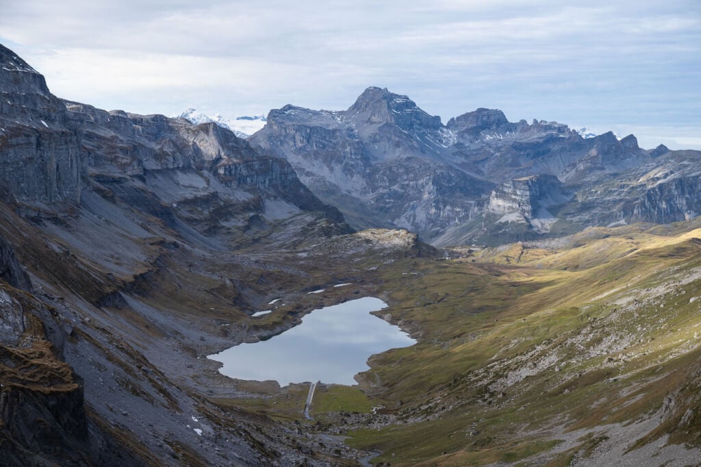
From Glattalpsee to the Saddle through a scree field
As you start the climb up, you can follow a small river upstream. The trail winds its way up through primarily rocky terrain, with giant boulders here and there. It will also become increasingly steeper, and at this point, you should be able to see the path leading up the mountain through the scree field.

In the middle of the image, the scree field that must be crossed to get to Ortstock. You can see a faint trail if you enlarge the image.
Oh yeah, about the scree field: it is not exactly the most fun part of the hike. On the other hand, it is not a very long stretch of the hike, and it will not take too long to pass it. If you have them, I’d recommend bringing hiking poles for this part of the hike. The trail here is steep, and it’s like walking on sand, except there are rocks instead of actual sand grains. I hope that gives you a good idea of what to expect here :).
On the way up, the trail offers great views of the lake below, Glattalpsee. It’s good to turn around and look at that lake becoming small and smaller while the landscape widens.
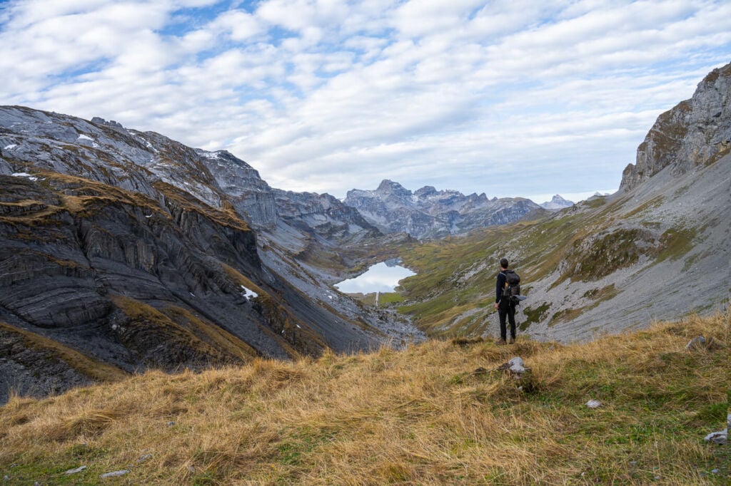
The saddle is a great spot to stop, catch your breath and enjoy the panoramic views on either side of the mountain.
Again, Ortstock will look deceivingly close from here too.
Glattalpsee.
One of the best vantage points along the trail.
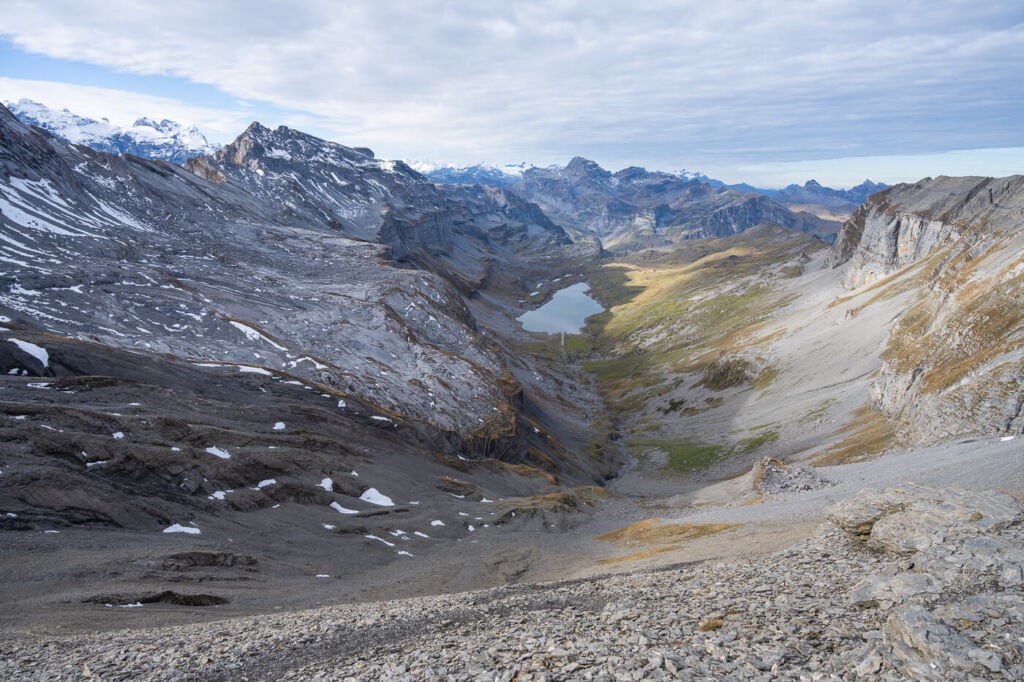
Glattalpsee, from the top of the scree field.
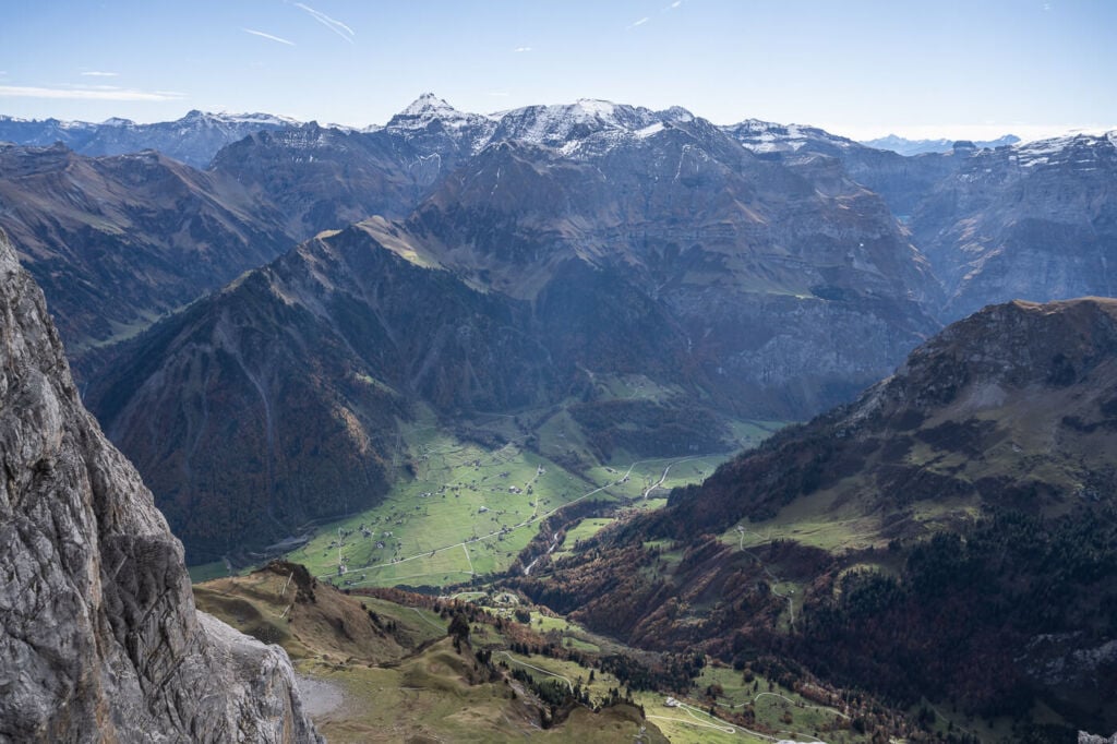
The view on the other side of the saddle.

The Höch Turm, the steep, rocky mountain in the middle, and the saddle viewed from above.
Hiking up to Ortstock – awesome 360 degrees views
Leaving the saddle, you can follow the trail up the side of your mountain to your right. Also, good news! The trail is easier from here onward compared to the scree field. Not as steep and not as rocky.
However, there is one additional final challenge; climbing over a 3/4 meters rock face. Fear not, though! There’s a chain to pull yourself up, so nothing particularly difficult. On the other hand, caution is required; a fall from her would not be fun.
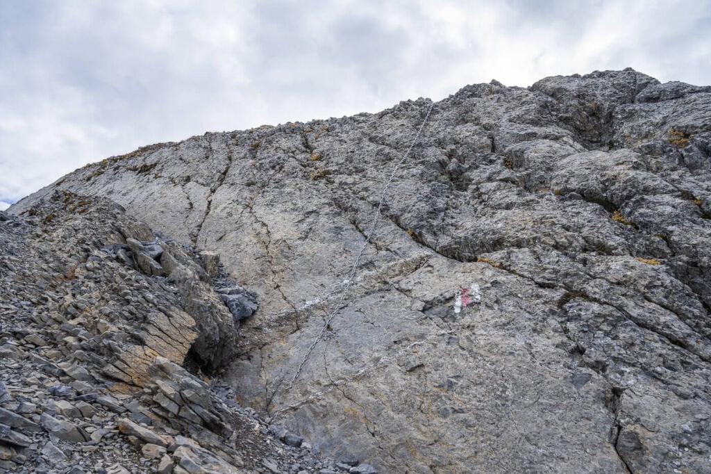
The chain to help you climb over the rock
The incredible views from the summit are only a short hike away now. Within the next 10-15 minutes, you should reach the summit. Once there, enjoy the spectacular panorama. Mountains all around, cliffs and incredible views of the valleys surrounding the mountains.
Several other points of interest will be in sight. Besides Glattalpsee, the Klausenpass and Limmerensee are among the closest ones. From there, it will almost feel like looking at a miniature world.
Also, congratulations! You’ve reached the top of that deceivingly close-looking mountain. Everything will appear very, very far away instead :).
View from the top of Ortstock
Photos from the Glattalpsee and Ortstock Hike
This is a very scene hike for several reasons. First of all, the lake. Second of all, the beautiful mountains surrounding it. Last but not least: the views from Ortstock are just breathtaking.
“Miniature World”.
View toward the Klausenpass from the top of Ortstock.

That small bit of ake barely visible in between the mountains is Limmerensee.

The beautiful Glattalpsee, surrounded by green pastures on a sunny summer day.
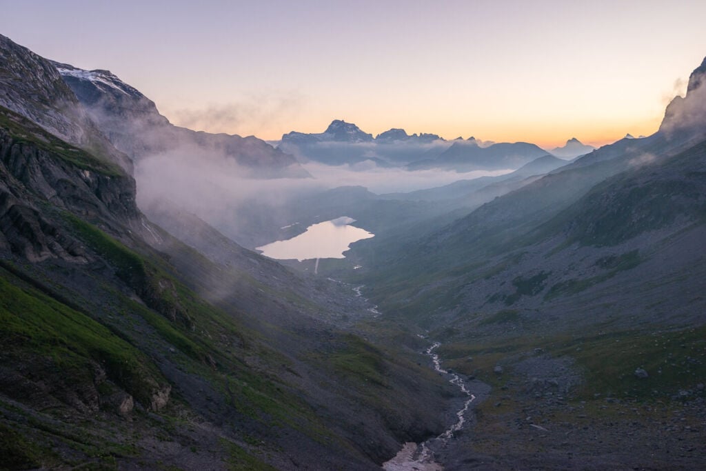
Glattalpsee at Sunrise.
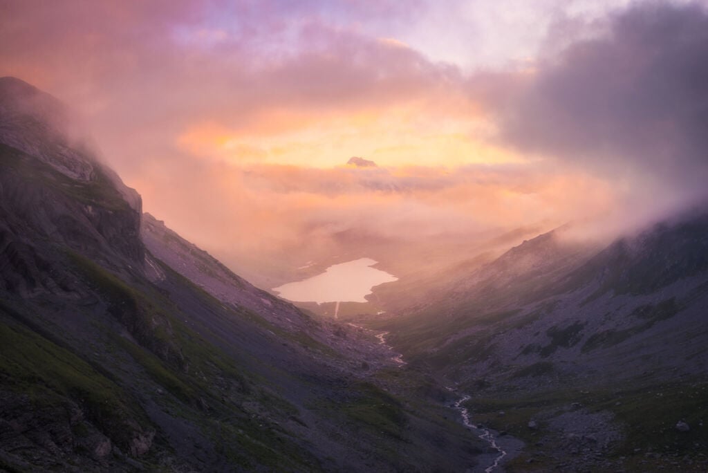
Glattalpsee at Sunset
Video of the Hike
If you want to get a feel for the trail, here is a short video with drone footage of this Hike:
Map of the Glattalpsee and Ortstock Hike
Here is the map of the Glattalpsee and Ortstock Hike. If you need a GPS track, you can download the .GPX file from the Komoot activity.
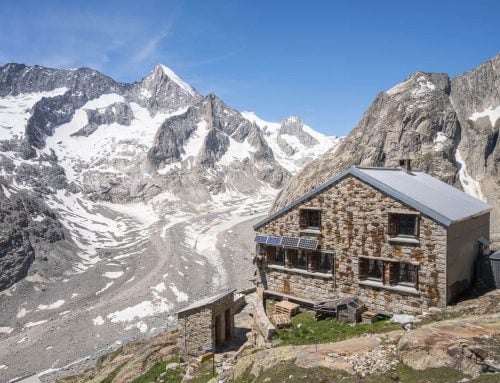
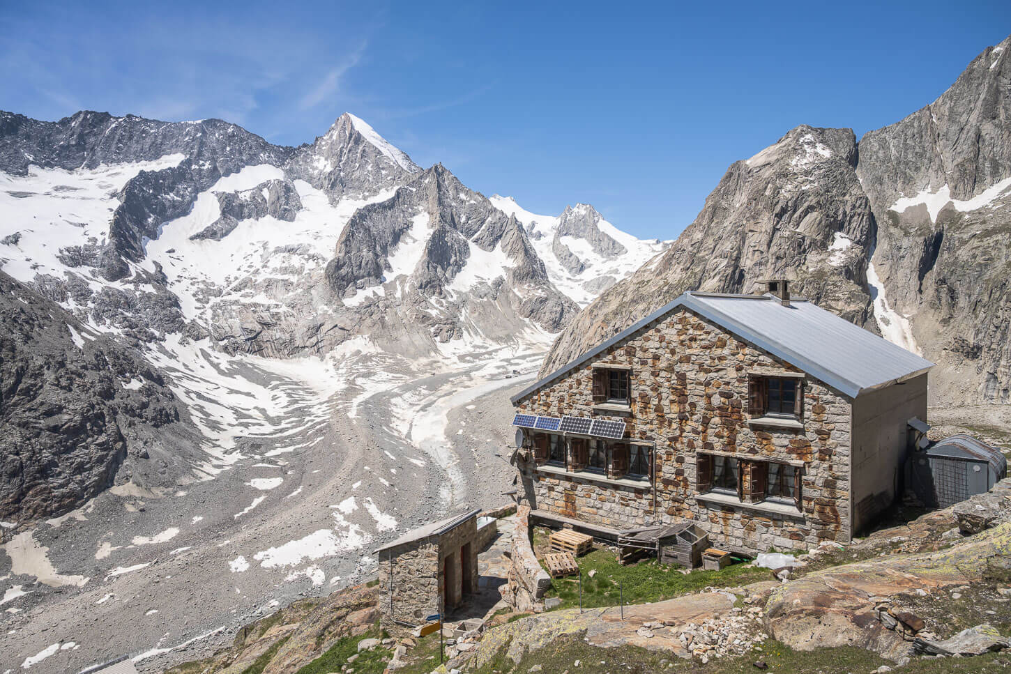
Where to stay
It’s possible to stay at either the recently renovated Glattalphütte, a SAC hut, or at the Glattalp Berggasthaus – a guesthouse with a restaurant.
Additional Resources
- Here is the official Glattalp website. You can check the timetable of the cable car, prices and webcam. The Website is in German, but it works well enough with Google translate.
- Check out more awesome Swiss Alpine lakes hikes here: Gelmersee, Oeschinensee, Göscheneralpsee, Limmerensee, Bannalpsee, Triftsee or Mattenalpsee and Gaulisee.
- Check out my main Switzerland page for more info and hikes in Switzerland


Leave A Comment