
Pizol Five Lakes Hike, Switzerland’s Iconic 5 Lakes Trail
The Pizol Five Lakes Hike is widely considered one of the most popular hikes in Switzerland. A hike where you will find five beautiful alpine lakes, all with their own character. Of the five lakes, Wildsee is the most popular, with its shiny, deep turquoise water.
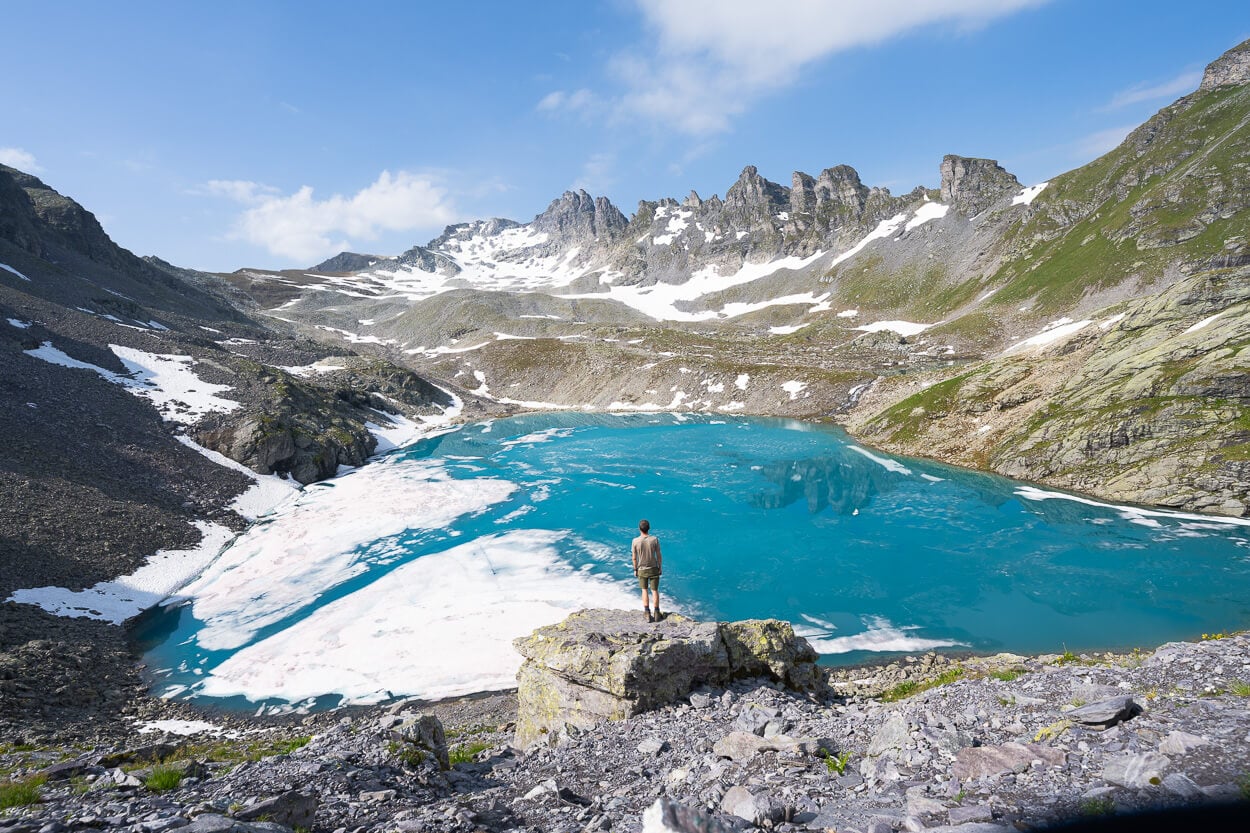
Wildsee.
| Pizol Five Lakes Hike: Quick Overview |
| • Distance: 11.4 km / 7.1 mi (Point-to-Point) | Time: 4-5 Hours | Difficulty: Moderate | Trail: Pizolhütte to Gaffia Mountain Station, marked. |
| • Start & Access: Cable car / Chairlifts from Wangs to Pizolhütte (Return via Gaffia station) |
| • Best Season & Light: July to October / Early Morning Start.Catch the 8:15 AM lift to beat the crowds and enjoy calm reflections on Wildsee |
Originally called “5-Seen-Wanderung” in German, it’s a point-to-point, 11.4 km / 7.1 miles hike that, in addition to the lakes, meanders through beautiful mountain landscape, with views opening onto the Swiss Tectonic Arena Sardona.
And – of course – lakes you may be tempted to take a dip in. Yes, it’s possible, and cold :).
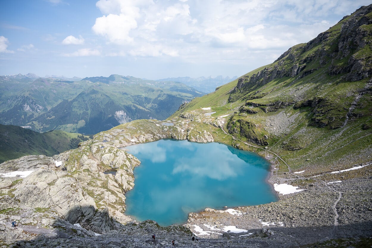
Schottensee.
The five lakes are, “in order of appearance”: Wangsersee, Wildsee, Schottensee, Schwarzsee, and Baschalvasee.
The starting point is the Pizolhütte, which can be reached by cable car from Wangs, and two chairlifts. Then, passing by the five lakes, it ends at the Gaffia mountain station, where you can take the chairlift back down the valley.
The hike isn’t too easy but not too difficult either. So while some effort is required, it makes for a great, scenic half-day hike.
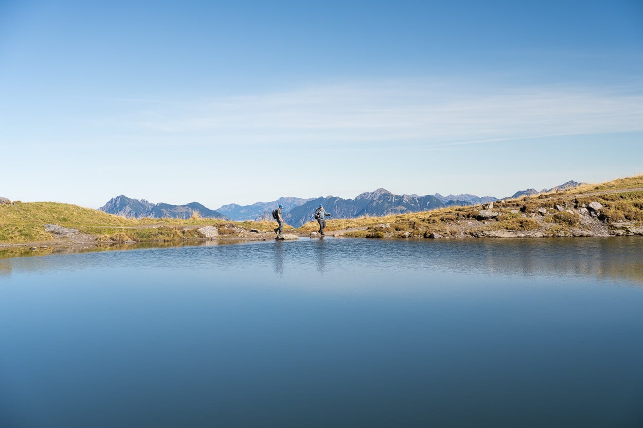
Baschalvasee.
Table of Contents
Overview of the Pizol Five Lakes Hike, Map & GPX file
This is not a particularly difficult trail, mostly T2, with a short T1 section to Wangsersee.
The hike is typically open from late June/early July until mid-October. Dates exactly depend on how much snow there still is at the beginning of the season, and how soon it snows later in the season.
It is a popular hike, and it does get crowded. If you want to avoid much of the crowds. Go as early as possible, and at the beginning or the end of the season.
If you are doing it early in the season, you typically won’t need microspikes. However, if you are doing it late in the season and there is snow on the trail, you should bring them. Snow might melt/refreeze at night late in the season, turning snow-covered stretches of the trail into sheets of ice.
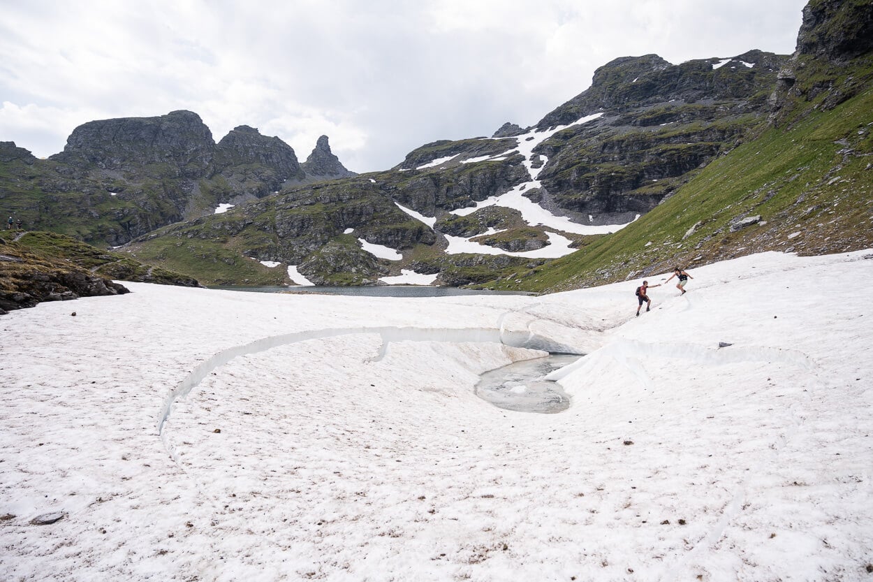
Early in the season, there can be snow on the trail. Late in the season, ice. Bring microspikes.
For the trail, you’ll need to take the Cable car up the mountain to the starting point. You can buy the ticket online on the Official Pizol website. Tickets aren’t cheap. If you are travelling with public transport, however, consider grabbing the SBB Hike’n’Rail discounted tickets.
The first ride in the summer leaves at 8:15 AM. It can get crowded, so in high season, the earlier you arrive, the better.
Additional notes
- The Gaffia cable car is closed between 12:20 and 1:20 pm. So you can time your hike accordingly.
- Do note that for long stretches of the hike, there is no mobile reception.
- On paper, it is possible to do the Pizol five lakes hike without taking the cable car. However, the round trip from Wangs requires completing a demanding 27 km hike with a total of more than 2,200 meters of elevation gain.
Now here are the technical details of the hike. You can download the GPX file for free from the activity below.
| Max Altitude | 2,490 m / 8,169 ft |
| Distance | 11.4 km / 7.1 miles (Point-to-Point) |
| Elevation Gain | 650 m ↑ / 1,000 m ↓ (2,132 ft ↑ / 3,280 ft ↓) |
| Hike Duration | 4–5 hours |
| Hike Difficulty | Moderate (SAC Rating T2 mountain hiking trail; T1 section near Wangsersee) |
| Trailhead Coordinates | Pizolhütte Station (47.0163° N, 9.3965° E) |
| Required Gear | Sturdy alpine hiking footwear, microspikes (early/late season snow/ice), cable car ticket |
| GPS Track | Download Pizol 5 Lakes GPX Track |
Here is the map of the hike.
How to get to the Pizol Five Lakes Hike Trailhead and Parking
To get to the trailhead, you first have to get yourself to Wangs, in the Canton of St. Gallen near Sargans. From wangs, you have to first take a cable car to the Furt Station, from there a chairlift to the Gaffia station, and lastly, another chairlift to the Pizolhütte.
- Driving Directions: By car, you would need to drive to Sargans, which can be reached by the A3 (Zurich-Chur) or A13 (Bodensee-Chur) highways. It’s an easy drive. Take the exit at Sargans, drive through the commercial area, and past the small town of Wangs, where you will find the two parking areas by the Cable car valley station.
- Parking: Paid Parking is available at the Wangs Valley Station. It’s paid and costs 6 CHF for the day. There are two parking areas. A small parking area behind the Wangs Cable Car station, and a bigger one in front of it. If you are arriving early, you can go for the smaller parking area.
- Public Transport: Wangs does not have a train station. However, you’d just need to get to the Sargans Train Station and, from there, you can catch buses 429 or 430 to Wangs Pizolbahn

The Pizol Five Lakes Hiking Trail
I’ll describe the trail in its most common direction of travel, that is, from the Pizolhütte to Wangsersee, Wildsee, Schottensee, Schwarzee, and Baschalvasee, before reaching the Gaffila station to take the chairlift back down.
Wangsersee
From the Pizolhütte mountain station, you will first have to take the out-and-back detour to the first lake, Wangsersee. Some people skip this and go directly to Wildesee instead. So they effectively turn it into a four-lake hike.
However, I’d recommend not skipping it, though. It’s a short 15-minute detour, and, on days with little or no wind, the reflections of the mountains in the lake are spectacular.
Then from Wangsersee it’s back to the Pizolhütte and up the mountainside.
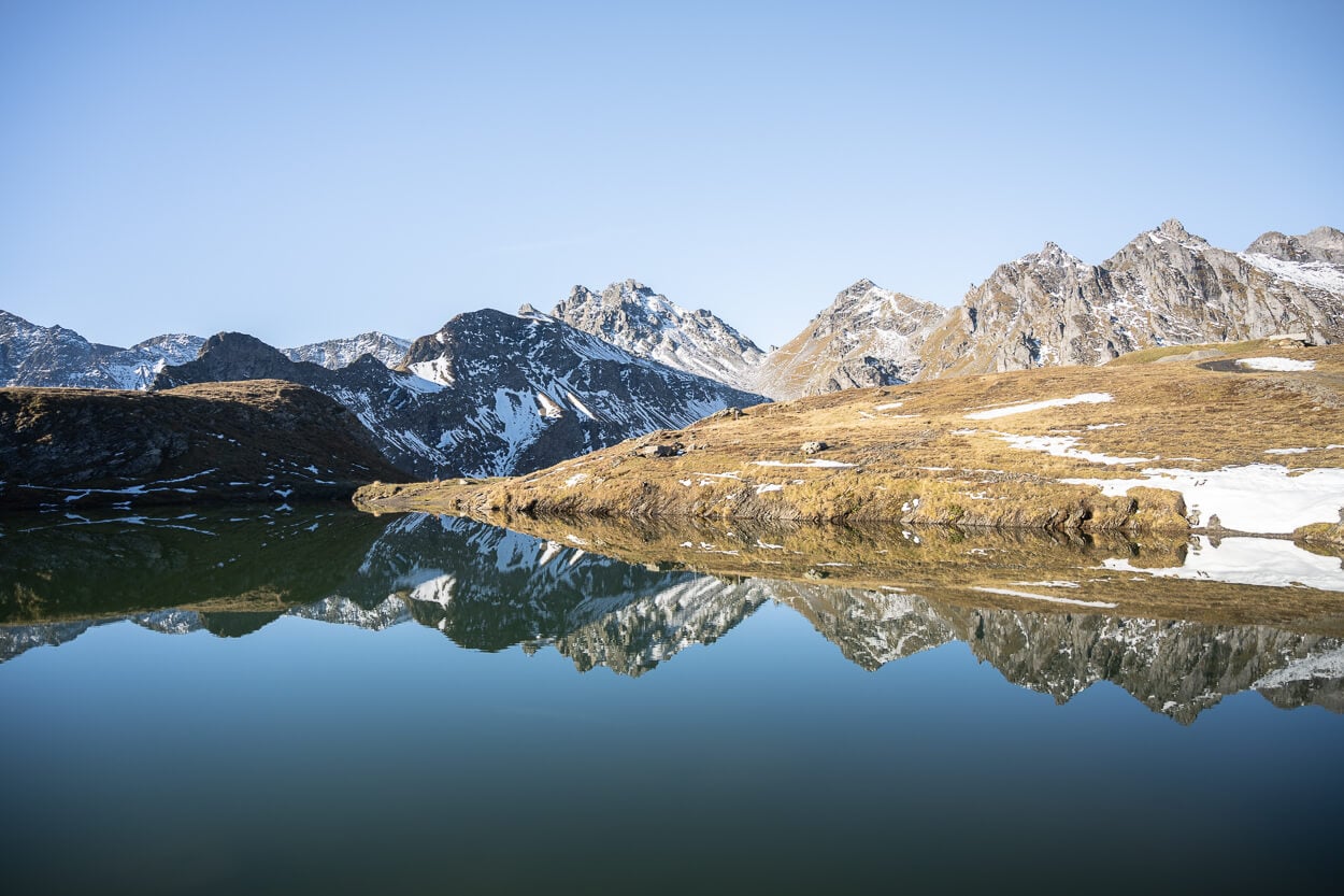
Wangsersee.
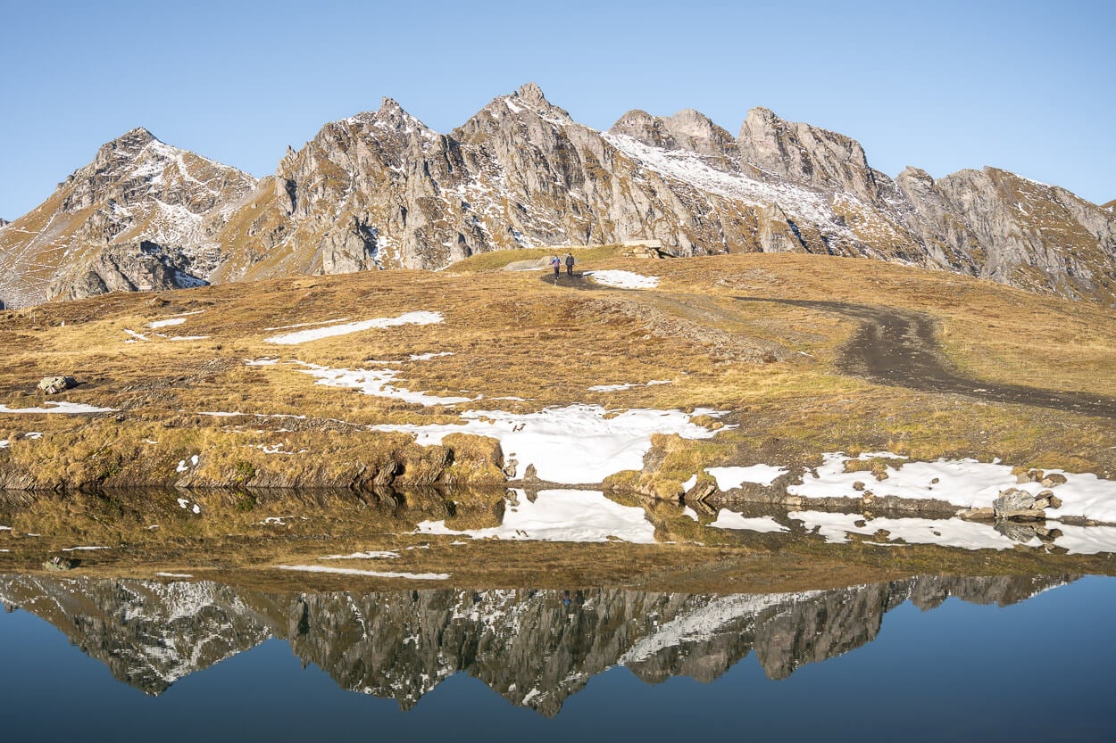
Wildesee
The trail to Wildsee initially crosses a grassy patch that offers rather nice views of the Rhine valley far below the mountain. After crossing a small plateau, the trail gets progressively steeper and rockier as it crosses a boulder field, and the trail winds its way up the mountainside. Nothing that requires the tiniest bit of scrambling, though.
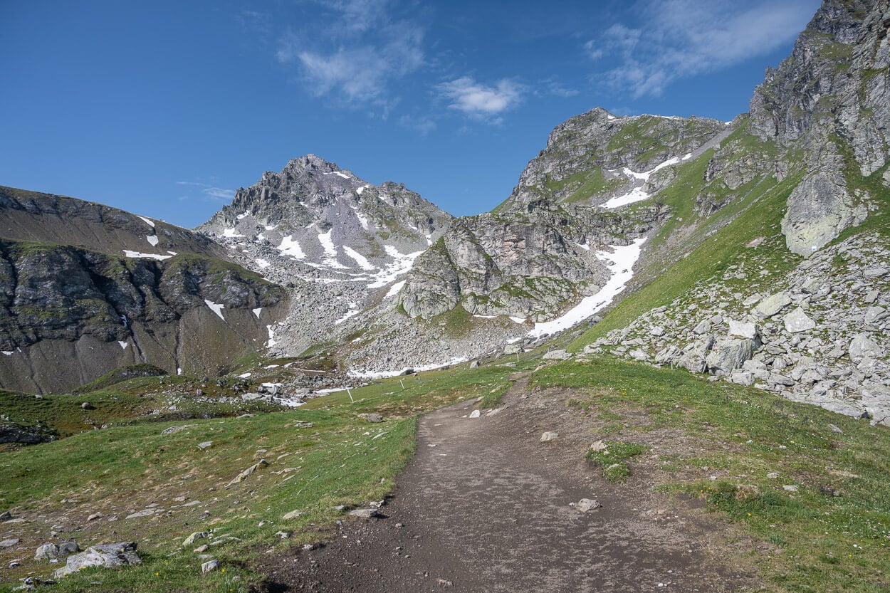
The path to Wildsee is initially rather wide and easy to walk.
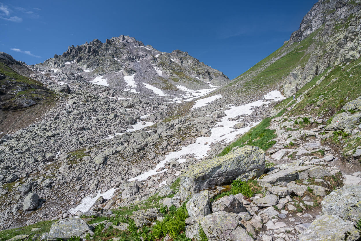
The trail progressively becomes steeper and rockier as you approach the lake.
This uphill section is also one of the two on the trail, and probably the most demanding. As you reach the small pass between WildseeHörner (2,690m) and Schwarze Hörner (2,643m), you’ll find yourself right in front of Wildsee, located at 2,438 m.a.s.l.
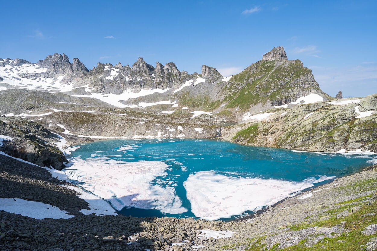
Wildsee – there usually is still ice at the very beginning of the season.
Many people stop around the small pass or hike above it, but there are a few good, quieter viewpoints farther ahead along the trail, too. Especially at the opposite end of the trail toward the other side of the lake, there are many flat areas that tend to be quieter and less crowded.
However, there are no clear paths down the steep slope to the lake’s shore, but there are also a few big rocks around it that you can easily reach and sit on to soak in the views.
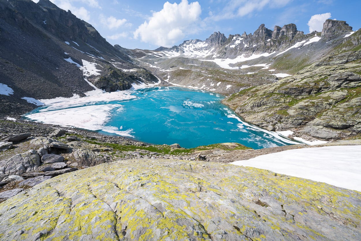
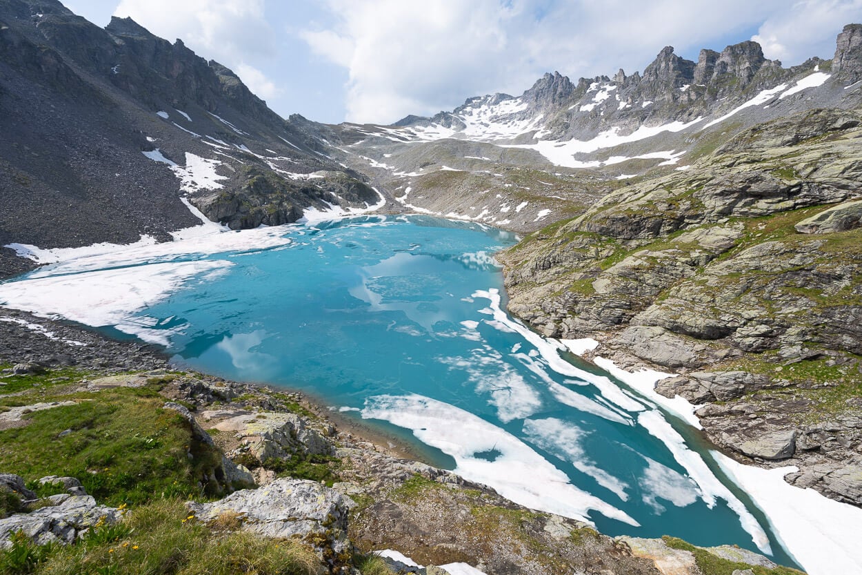
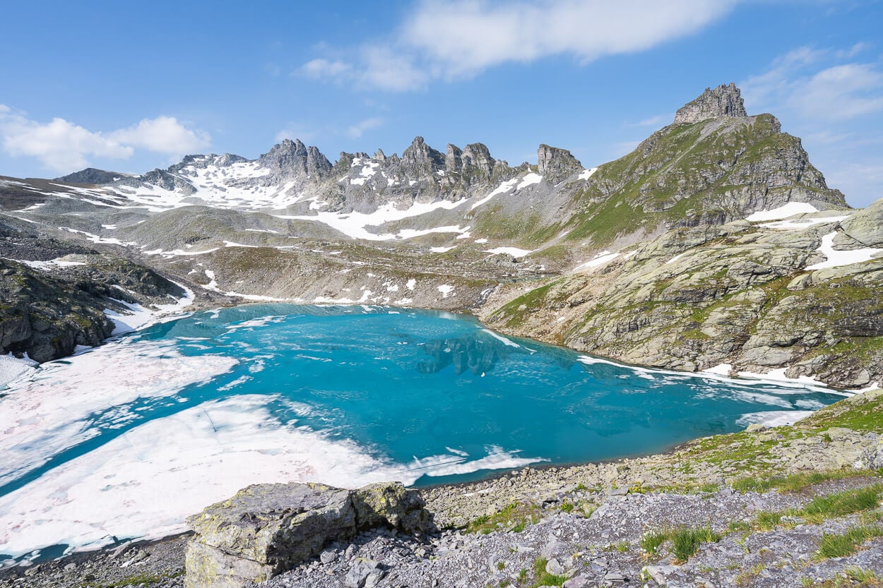
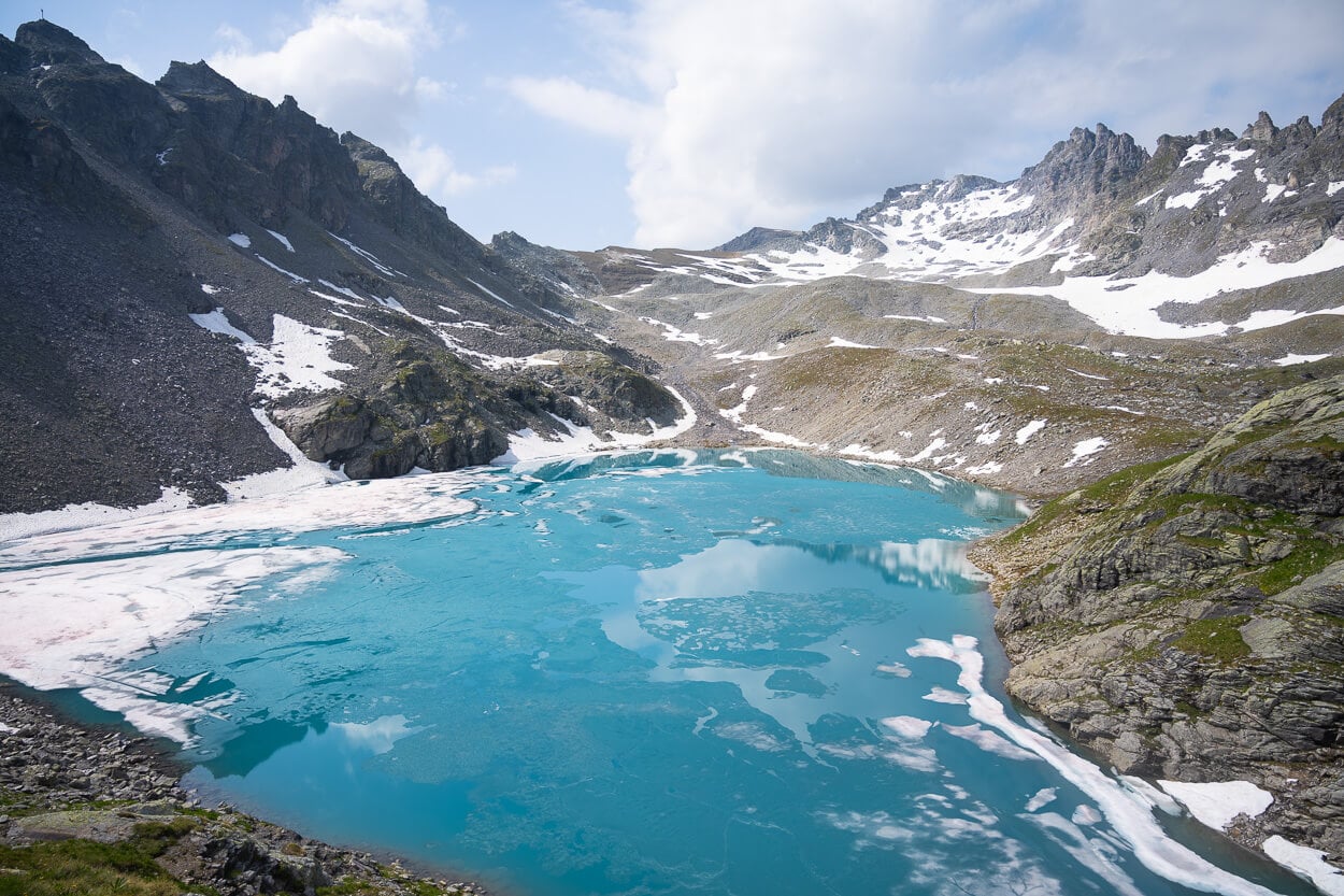
It’s best to plan to be there when the sun is high in the sky. That’s when you will see the best possible, beautiful, deep turquoise color of the lake. Such a color really is a beautiful, relaxing sight.
Then, after a break here, on to the next lake.
Schottensee
Schottensee is just a short, steep walk downhill from Wildesee. You can actually already see it as you turn the last corner and leave Wildsee behind you. Like Wildsee, it also offers a beautiful shade of deep turquoise that’s a sight to be seen.
Schottensee.
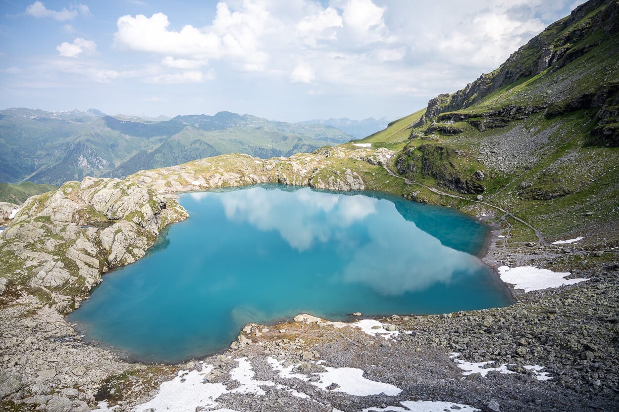
From Wildsee, the trail zig-zags down the slope. This can be one of the sketchiest sections that may require micro spikes late in the season, if there is snow on the trail.
However, it does not take much to reach the shores of the lake. On quiet, windless days, you can enjoy the views of the surrounding landscape and the sky reflecting into the lake, creating unique scenes.
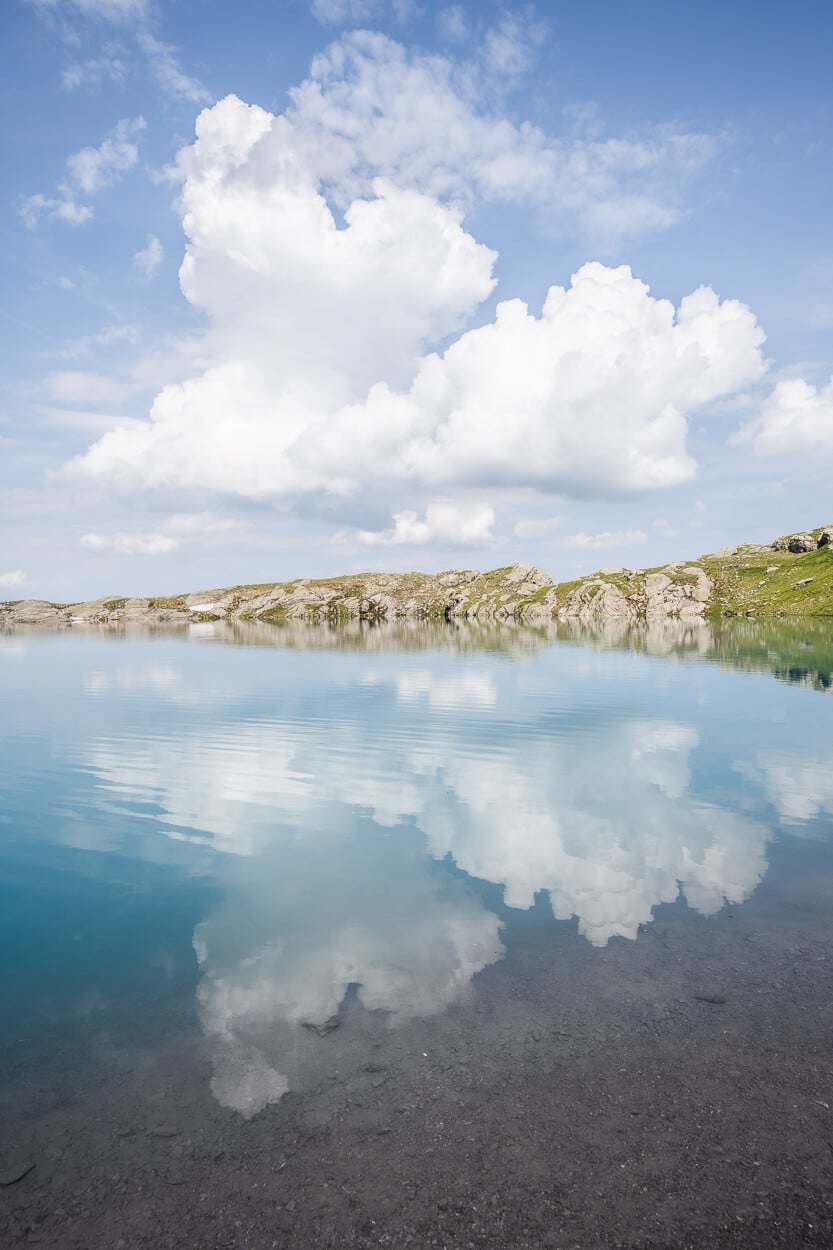
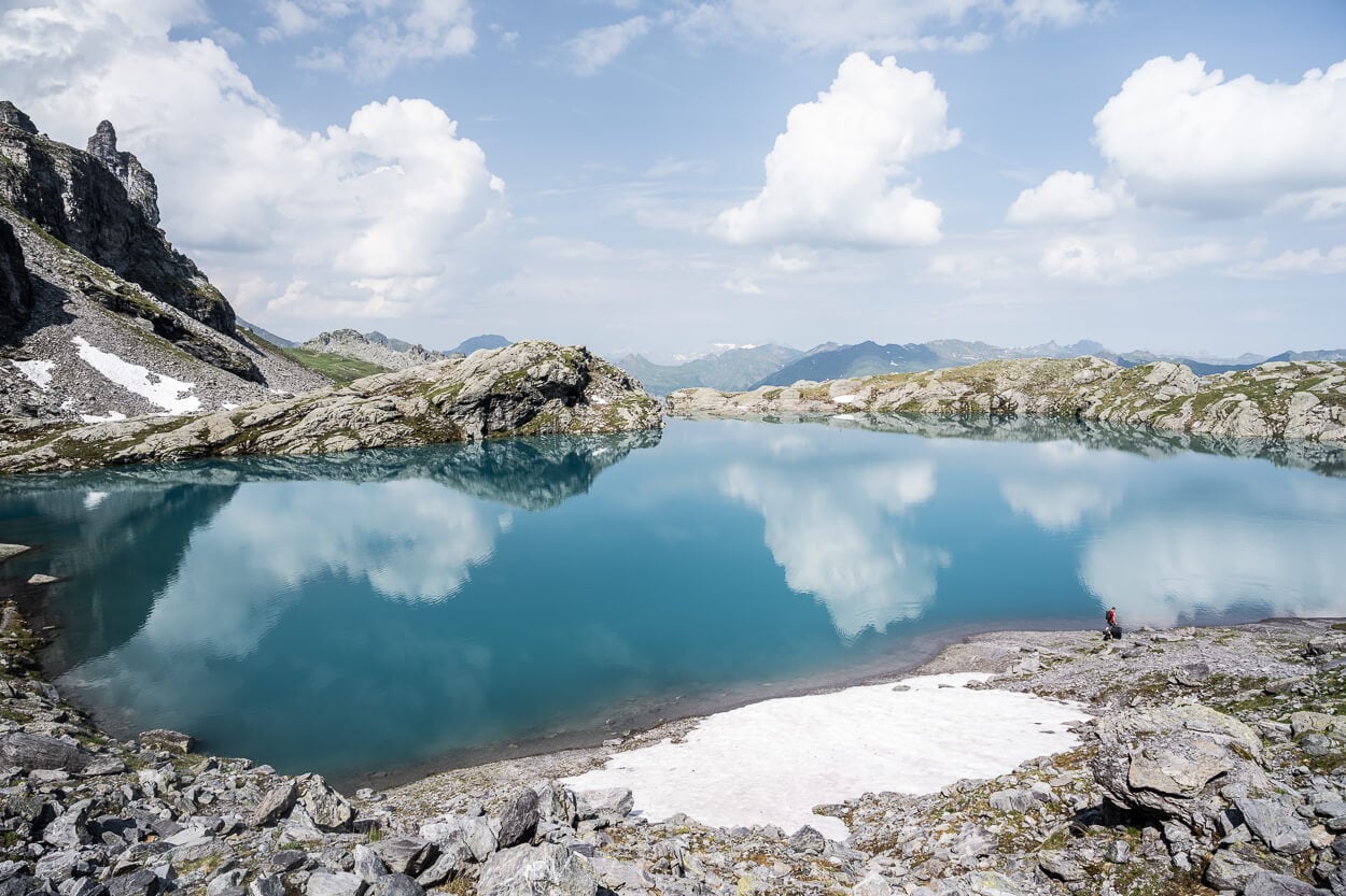
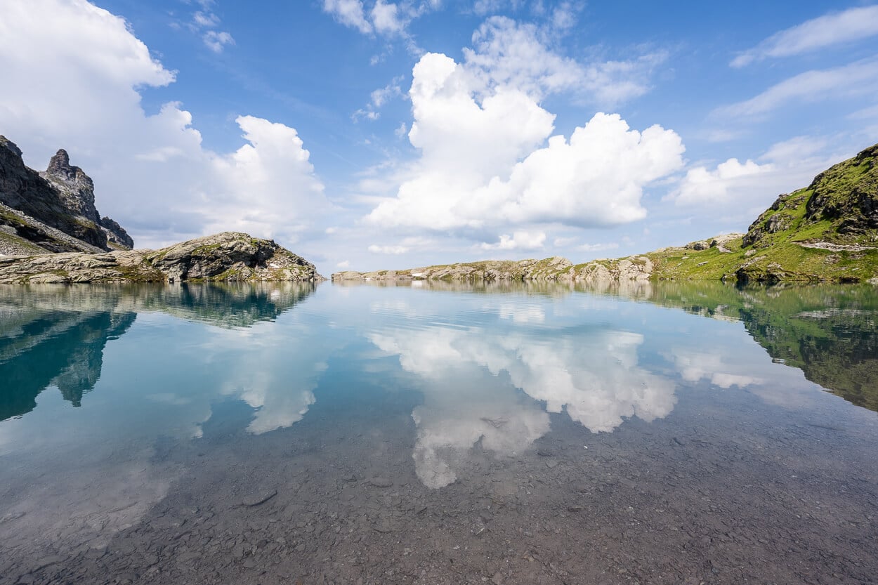
It’s another place where you can easily sit for a while and just watch the scenery, without feeling the passing of time. At the very least, it’s worth a short break to catch your breath before the second climb on the trail, to reach the fourth lake on this trail, Schwarzsee.
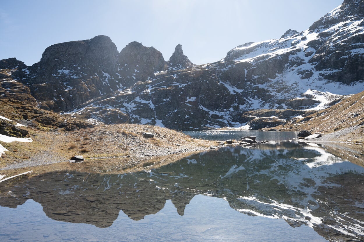
Schwarzsee
More or less two kilometers separate Schottensee from Schwarzee. From Schottensee, the trail gradually gains elevation for the second-longest uphill section on this trail. It is not a demanding section, even less than the first one.
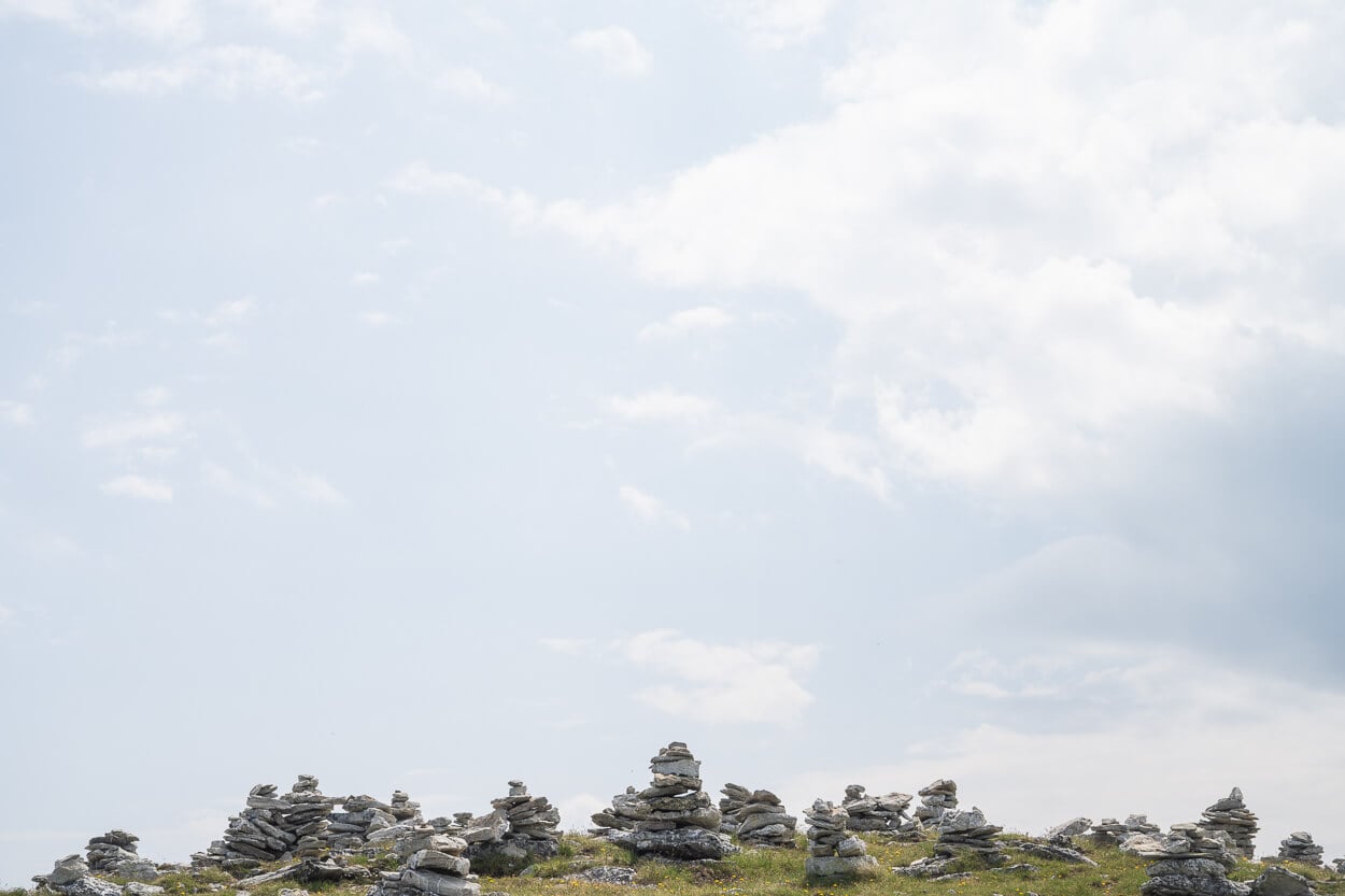
The views here also start to open up to the mountains around, as you reach the small Steinmannli, where you will find a large collection of Cairns.
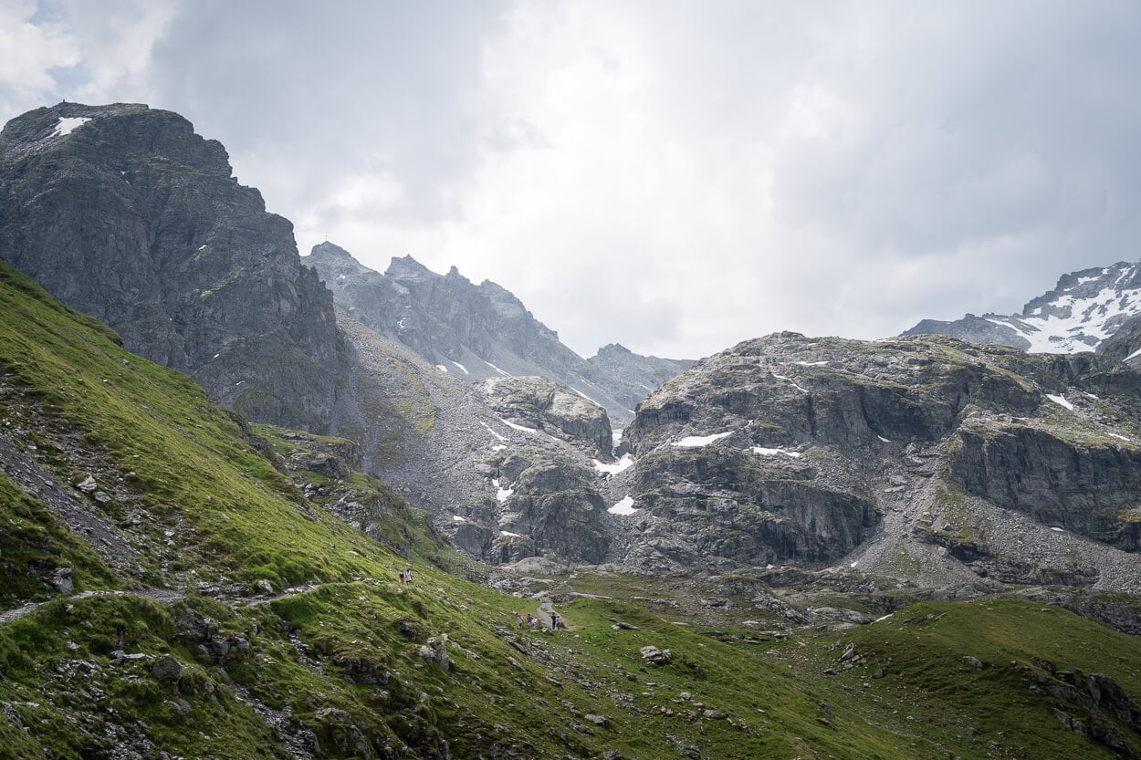
Leaving Schottensee behind.
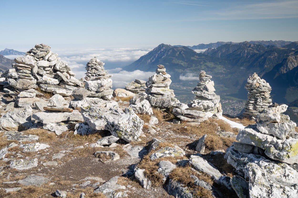
Steinmannli – a large collection of cairns.
Originally, there were three big cairns, apparently built over 100 years ago. It seems only one of those original cairns is left today, but many more have been built. And while I am not a fan of cainrs because of the damage their construction can cause to an area, some of them are quite impressive.
Still no lake in sight here. However, it’s not far. From the cairns, the trail leads downhill and to a ridge, where you will catch the first sight of the fourth lake, Schwarzee.
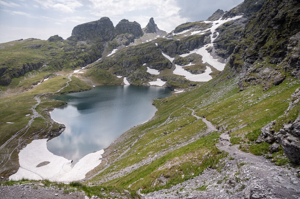
The trail that leads down to the lake isn’t particularly steep, but it is rather rocky and on erosion-prone terrain. And by that I mean it is easy to slip and potentially fall, so proceed with caution here. It’s a short stretch, however, and you’ll soon be on the lakeshore.
Schwarzee is apparently a relatively popular bathing location. I came across people bathing both in June and in October.
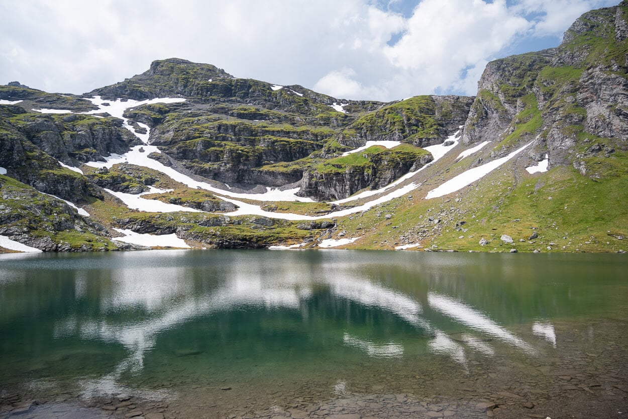
Baschalvasee
There’s a three-km stretch to reach the fifth and last lake on the trail. From Schwartzee, the trail initially climbs steeply on the side of the mountain, but it is a short section, and you will soon find yourself atop a large ridge, where the trail descends toward a few smaller peaks.
Keep an eye to your right for a relatively large rocky outcrop, about halfway down that descent. As you approach it, the view will open up to the first lake, Baschalvasee, far down below, and the whole valley. It’s quite a beautiful view.
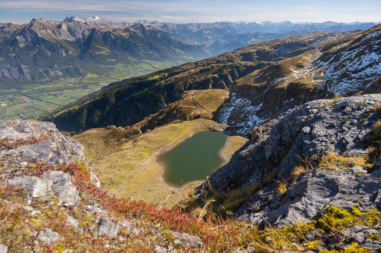
Baschalvasee from Above
While the lake seems deceivingly close from here, it is still quite a way down before you can reach it, as the trail winds its way around the mountain to then descend to the shore of the lake. You can actually walk all around the lake, and to the side opposite to the main trail, where you have a view of the mountains rising above the lakeshore.
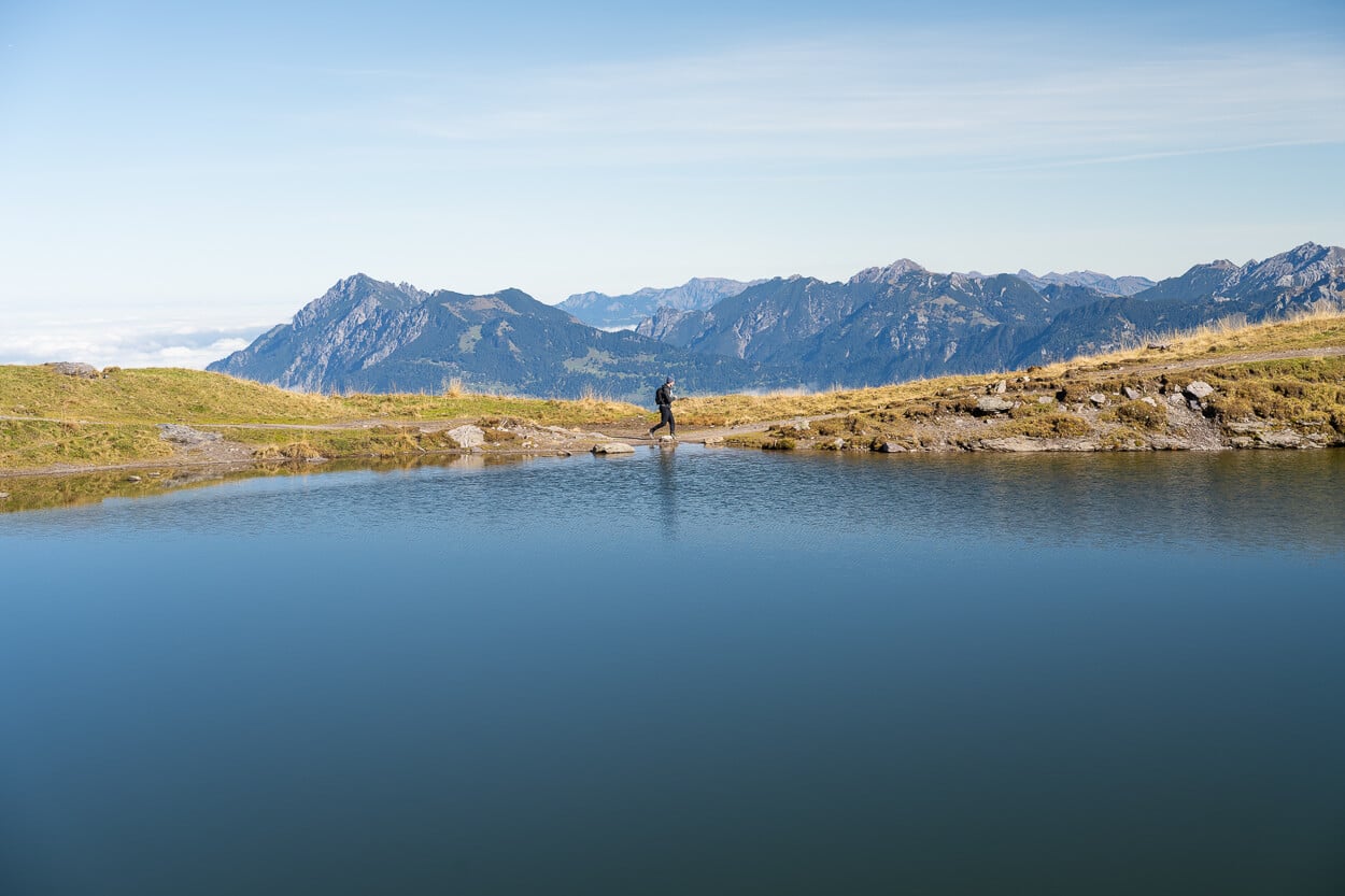
From Baschalvasee, the trail then continues on a rather uneventful hike back to the Gaffia Mountain Station. It follows the side of the mountain downhill through rocky terrain.
It then reaches the Gaffia hut, next to the cable car station that will bring you back down the valley.
Keep in mind the Gaffia station is closed between 12:20 pm and 1:20 pm. So, as you reach Baschalvasee, you can check the time and decide whether you can make it, take a rest there to enjoy the landscape, or wait at the Gaffia station, if need be.
Pizol Five Lakes Hike Photos and Photography Tips
Wildsee is the most popular photo spot on this trail, and the main reason many take the trip up there. The colors and shapes of the lake, and the jagged peaks around it create an environment that is just as beautiful to see as it is to photograph.
Compositions are somewhat limited, though, and finding some basic foreground requires moving around a bit.
Finding an interesting foreground requires walking around a bit.
In terms of lenses, you’d definitely need as wide as you can to fit the whole Wildsee into a single frame. With a polarizer, to make the most of the colors, too.
Apart from that, I found my 24-70mm lens, full frame, was more than enough. For Wildsee, I used a 14 mm lens to fit into a single frame. Here’s a comparison with a 24mm lens from the same viewpoint.
24mm.
14mm.
If you want to capture Wildsee’s beautiful turquoise color, it’s best to be there when the sun is high in the sky. Early in the season, June-July, that’s already early in the morning. Later in the season, it’s best to be there by mid-morning or noon.
However, if you want to capture the reflection of the mountains in the lake, it’s better if the sun is still low on the horizon.
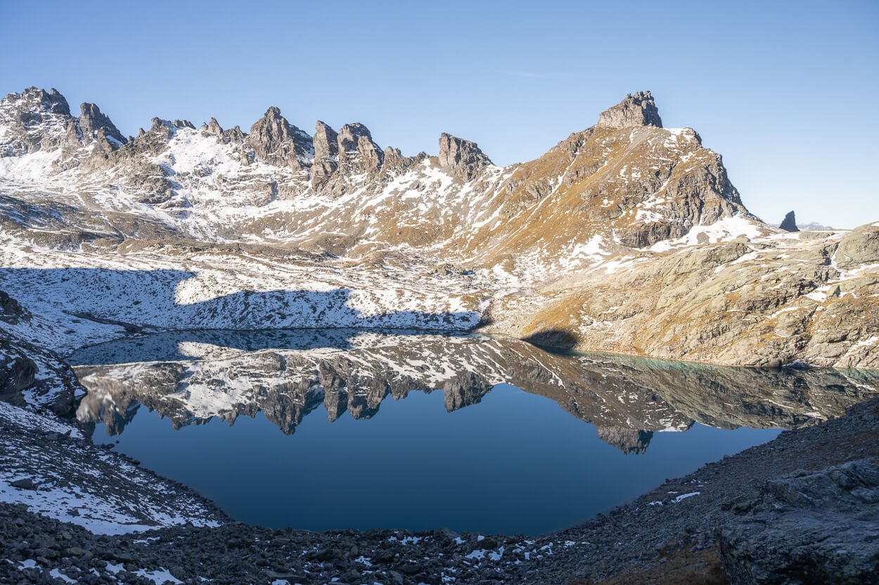
Early morning in October.
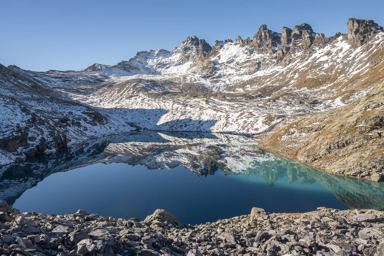
It would be unfair, however, to reduce the photo opportunities at Wildsee. Yes, it’s the most popular and most “Insta” lake of the five, but all the lakes, as well as the landscape, offer great opportunities.
All of the lakes have their own characters, and the trail does offer stunning views of the surrounding landscape, too. Overall, it’s a great hike for landscape photography, even if Wildsee wasn’t part of the trail.
Schottensee.
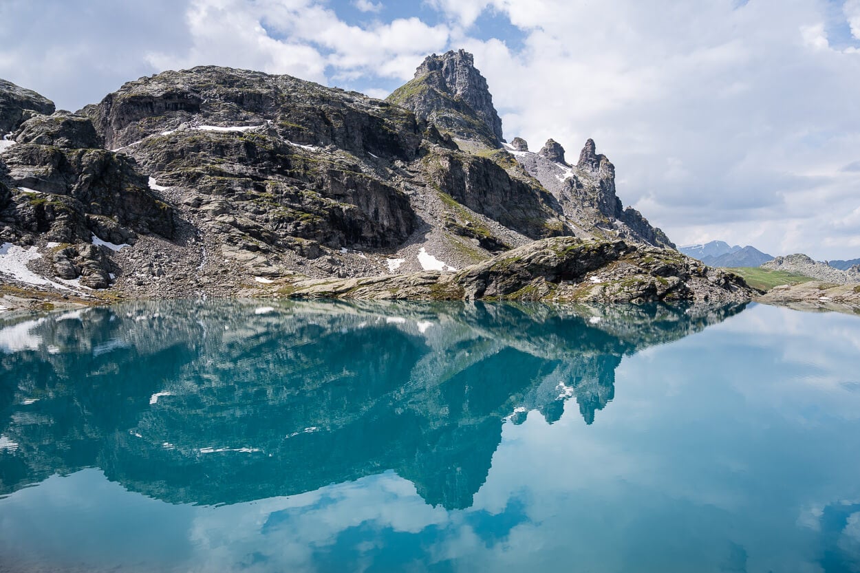
More reflections in Schottensee
Baschalvasee and the beautiful view with seemingly endless mountains.
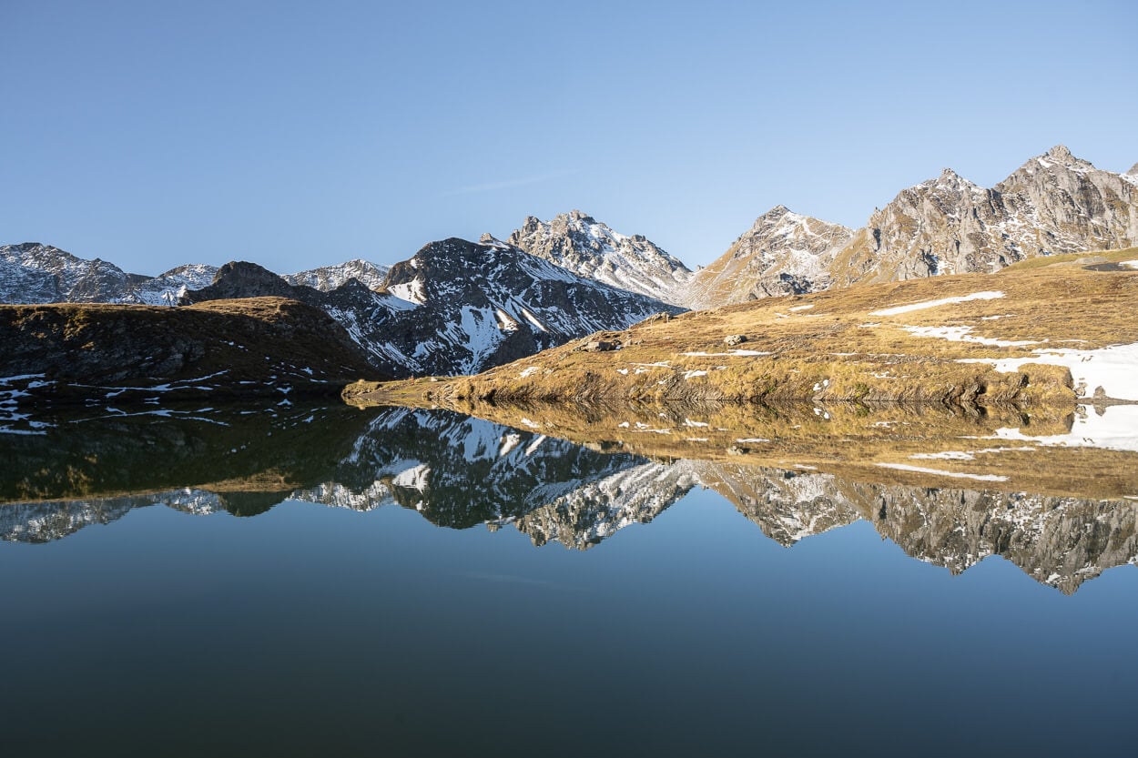
Reflections in Wangsersee
Schottensee.
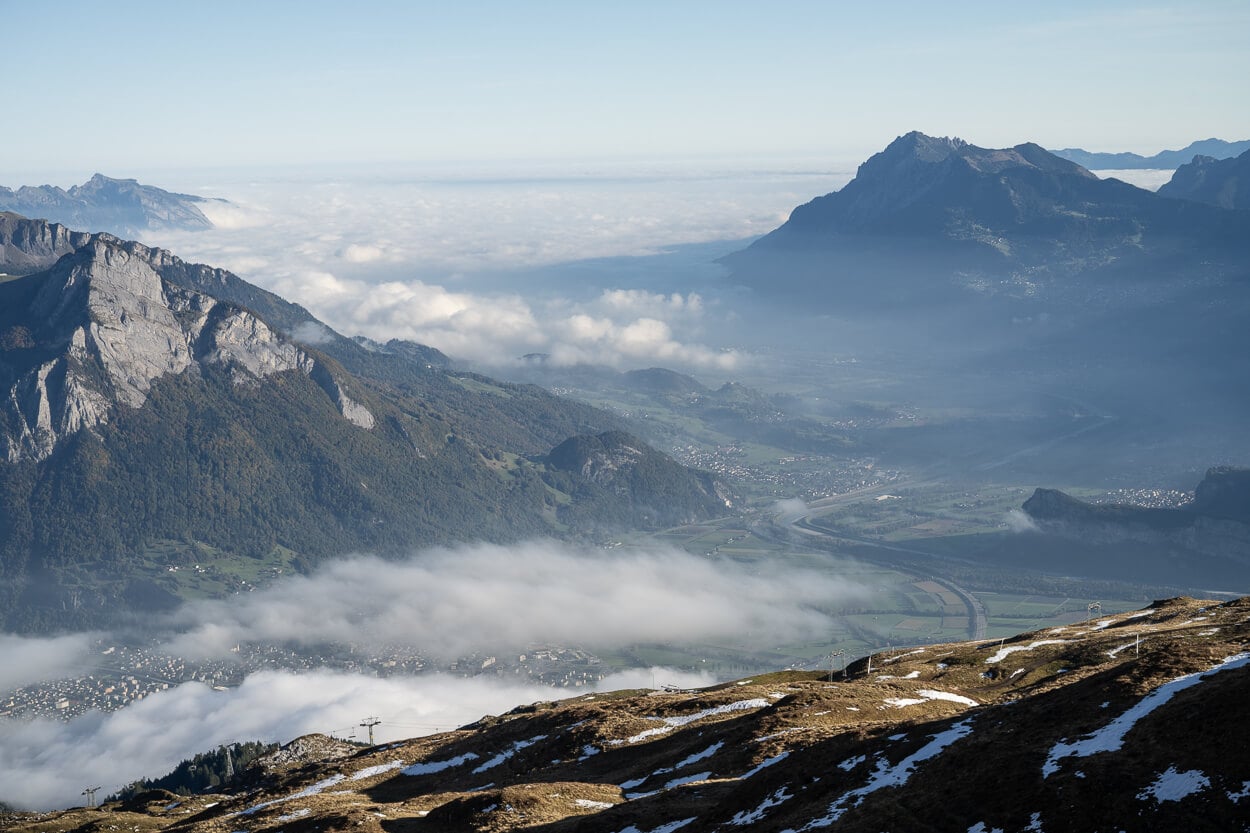
View of the Rheintal – or Rhine Valley.
Where to Stay
Wangs or Sargans would be the closest towns, but they are not particularly enticing, to be honest. However, there are several options for spending the night in the mountains. The Pizolhütte, for instance, the Mountain Hotel Gaffia, or the Alpenhotel Furt.
Wild camping in the area of the five lakes hike isn’t forbidden, but there are some restrictions. Specifically, most of the immediate area around Wildsee, and to Schottensee, as it’s a hunting reserve. For an overview, visit the official trail page. You can download a PDF showing the area, or view it on the official Maps of Switzerland.
For Vans and RVs, there is a (paid) pitch in the valley. That also gives you a 20% discount on the cable car tickets. More info on the official Pizol website.
Additional Resources
- For a comprehensive overview of Hikes in Switzerland, check out my main Switzerland page.
- Here is the Five Lakes Hike overview on the official Pizol website.

Leave A Comment