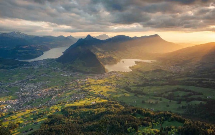
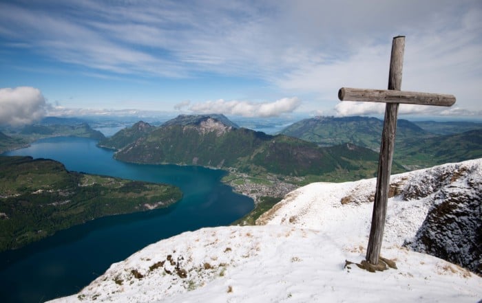
Discover the Best Photography Hikes and locations in Switzerland (with Maps!)
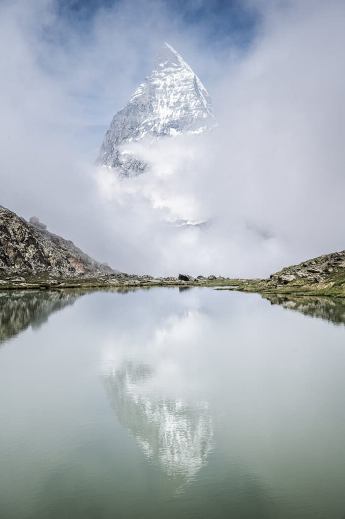
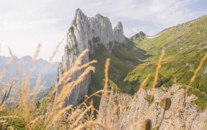
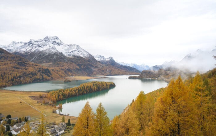
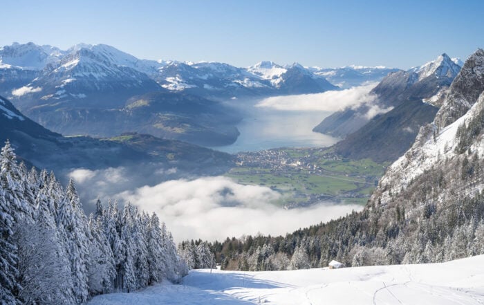
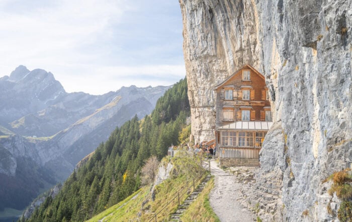
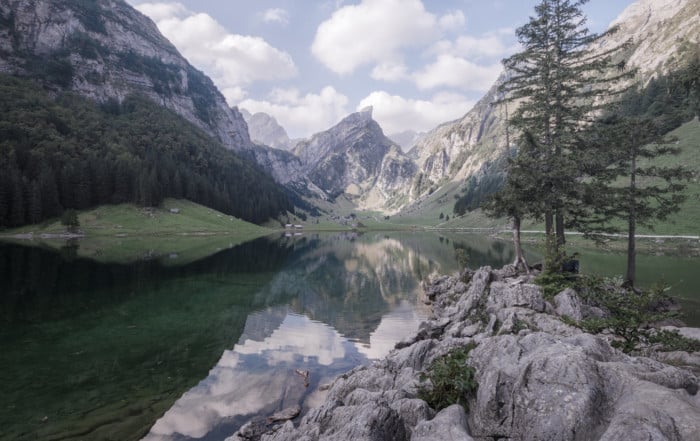
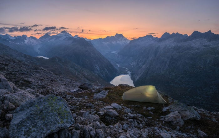
When it comes to hiking, very few countries can compete with Switzerland. So let’s discover what some of the best Photography Hikes and locations in Switzerland are.
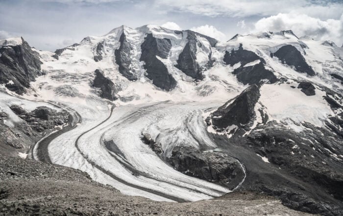
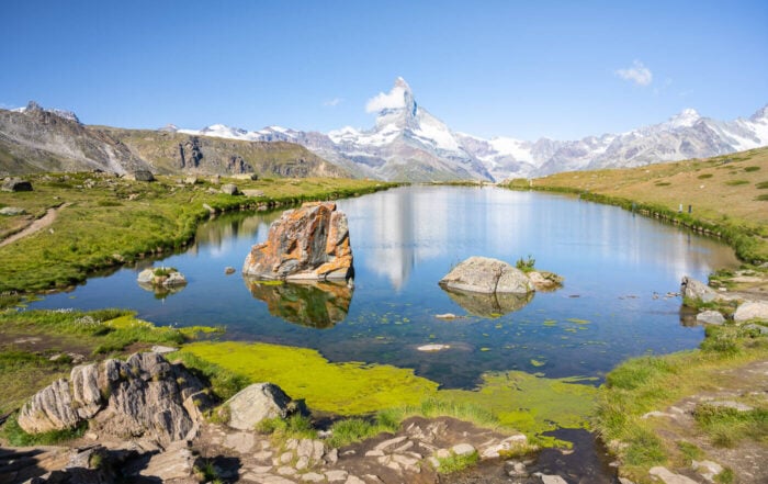
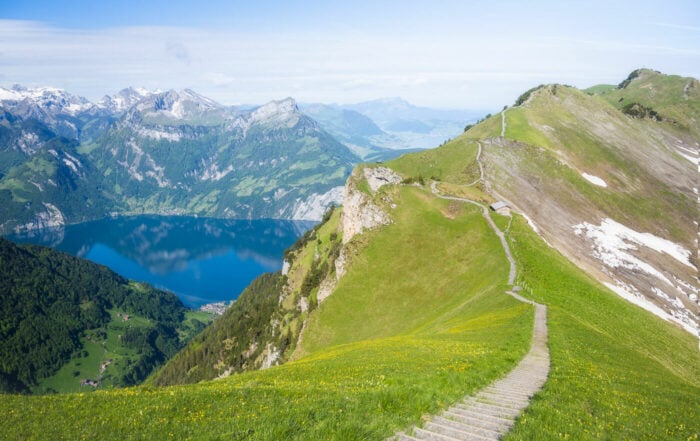
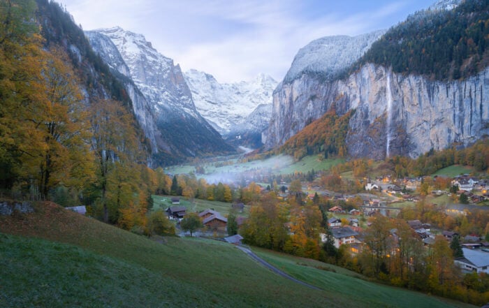
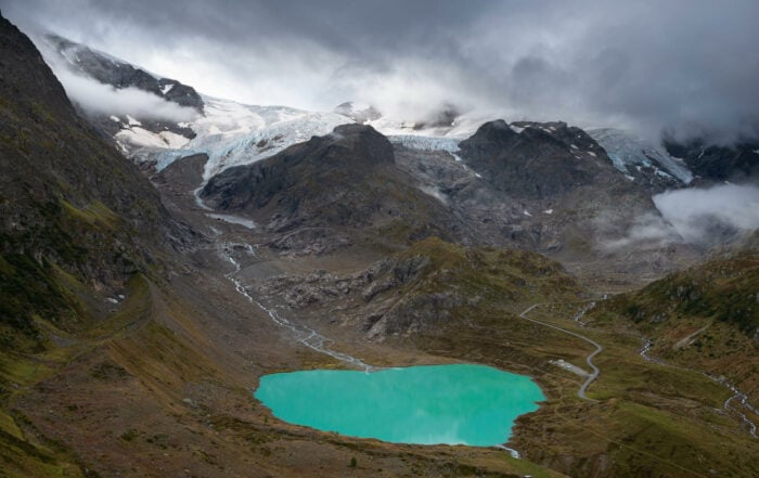
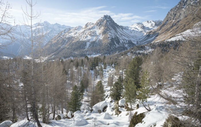
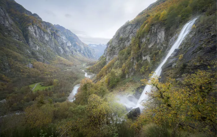
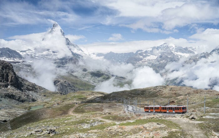
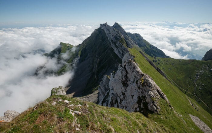
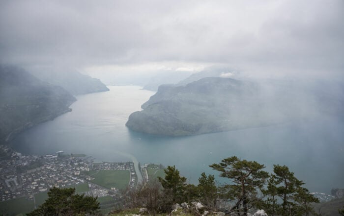
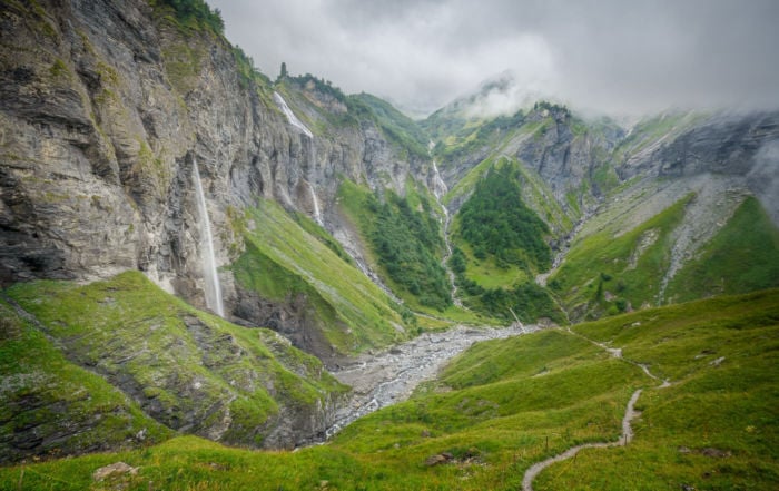
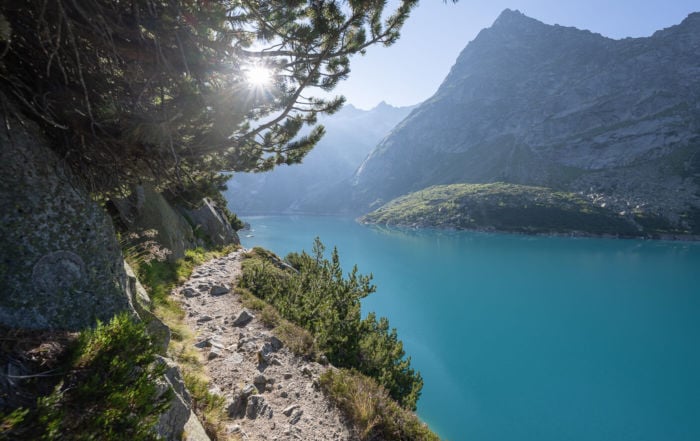
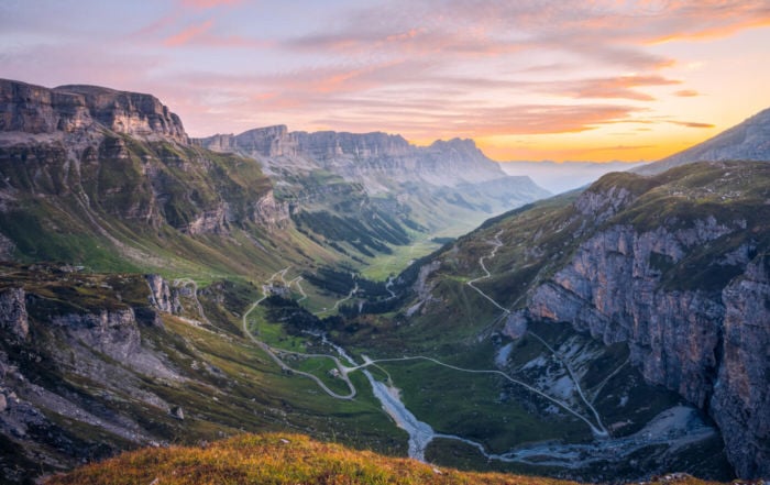
Some of Europe’s highest peaks. Glaciers. Alpine lakes. Waterfalls. Trails & Mountain huts. These are the perfect ingredients for a Hiking and Photography vacation.
Switzerland offers over 65,000 KM of marked trails. There is probably more hiking and photography here than one could ever do in a lifetime. I currently live here in Switzerland and I can tell you I am completely overwhelmed each time I have to choose a location for the weekend.
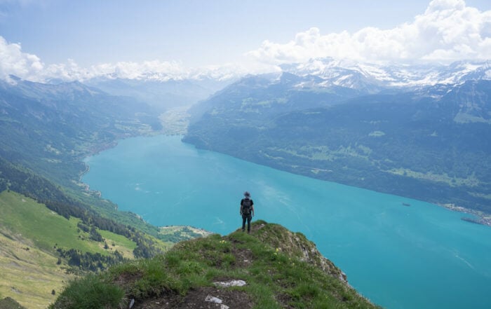
Additionally, each trail will present different photographic opportunities at a different time of the day or the year. Besides, the panoramic views are just spectacular pretty much everywhere you go.
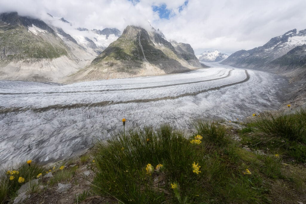
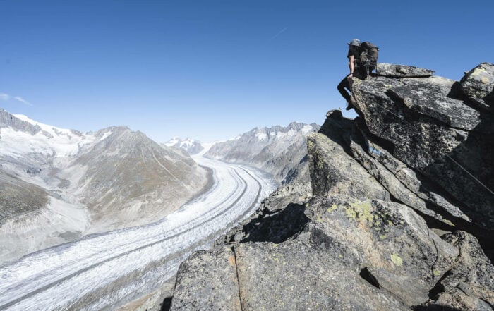
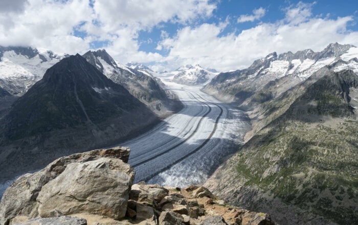
The Aletsch Glacier.
Map of the best hikes and Photography Locations in Switzerland
Here is a map of the hikes you can find on this site. Check back for updates as I post more – I currently have a huge backlog of locations since I’d rather spend my time on the trails with a camera, but I still update the map about once a week or every two weeks with new locations.
The locations are presented in no particular order/ Also, each one of the locations on the map will link the full hike report and details about each location if you want to know more about it.
Hiking in Switzerland – Introduction to the Best Photography Hikes and Locations in Switzerland
Virtually all the trails in Switzerland are well-marked and signposted. Additionally, the difficulty is color-coded, and in several touristic locations, the expected travel time is visible on signposts. Here’s an excellent example of what you can expect:
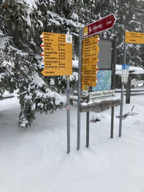
A perfect example of colour-coded trail signposts
How to read and interpret Swiss trail marks
Apart from the estimated travel time, each trail will also display its color-coded difficulty grade. The color coding is in the “pointing arrow” part of the sign. Multiple colors will also
Each color matches a different difficulty level, which the Swiss Alpine Club classifies into a scale from T1 to T6.
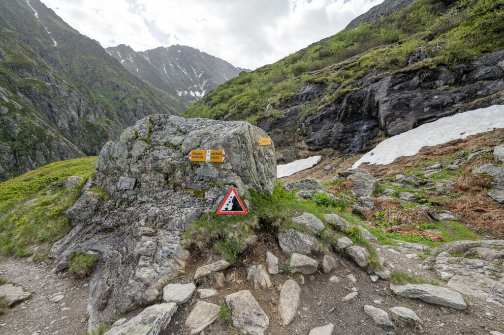
Even T3 trails can be challenging and not free of dangers.
You can read all the details here, but essentially you can divide the scale into two main grading groups: Mountain Hiking and Alpine Hiking.
- Mountain Hiking: this covers the first three grades, from easy to challenging mountain hiking. Yellow signposts mark the most accessible trails. (T1). White-red-white signposts mark the more difficult mountain Hikes (T2 and T3). While not exposed, T3 trails can already be physically demanding.
- Alpine Hiking: this group covers the remaining categories, T4, T5, and T6. These are the most demanding hikes in terms of fitness and the riskiest ones with exposed sections, glaciers, or cliffs. Climbing and Climbing gear may be required, and good orientation and terrain-reading skills are needed as you may find yourself navigating terrain where there is no trail. All the trails in this group display white-blue-white color marks
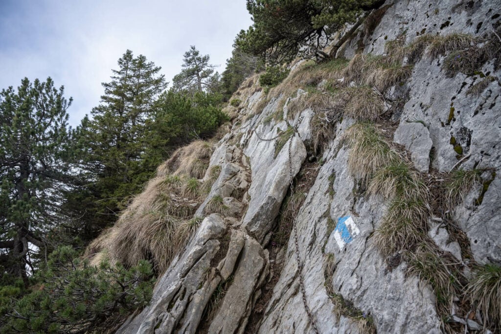
Example of a T4 trail.
In practical terms, you should avoid the white-blue-white trails unless you are a very experienced hiker and know the type of terrain you are getting into.
Unfortunately, this is no joke; more than a hundred people die practicing mountain sports in Switzerland each year.
What To Expect: The Best Photography Hikes and Locations in Switzerland
In terms of Mountain Hiking, for the most part, you can expect well-maintained, well-signposted trails. During the High season, it can get crowded, especially in the middle of the day.
If you are hiking for photography, you will probably be either up in the early AM or late PM for the best light, so you should not come across many people. I usually start my hikes very early in the morning, and I usually meet people on my way down.
Mountains huts are very popular and can be found in some of the most isolated areas or trails.
hey usually offer bunk bed accommodations which are ideal if you are on a multi-day trek. Besides, nothing beats a warm drink or an abundant meal in a mountain hut after a long day on the trail! If want to explore the huts option, you can do so on the SAC website.
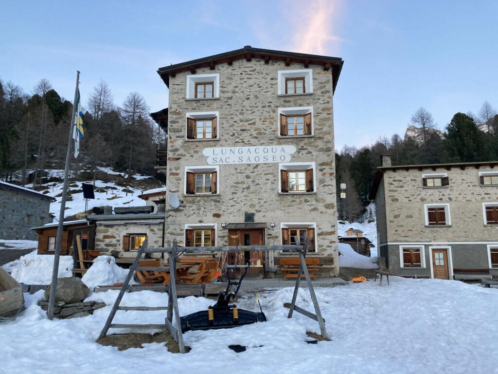
The Saoseo Hut
In terms of photography, the sky is the limit. From classic landscape to travel photography and astrophotography, the only limit is how creative you can get. In terms of photography, I think Switzerland is still very underrated. Yes, there are several world-famous scenic spots everyone goes to.
However, there also are several less-known areas that are equally as good in terms of photographic opportunities, with the bonus of being less known. Hopefully, you can discover some on this website, but I do encourage doing extra research on your own too. there are so many locations it would be impossible for someone to cover them all.
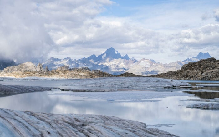
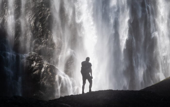
Anyway, you will find pretty much everything; waterfalls, glaciers, mountain lakes, snow, funny cows :), even icebergs at 2,6oo meters! ..you name it.
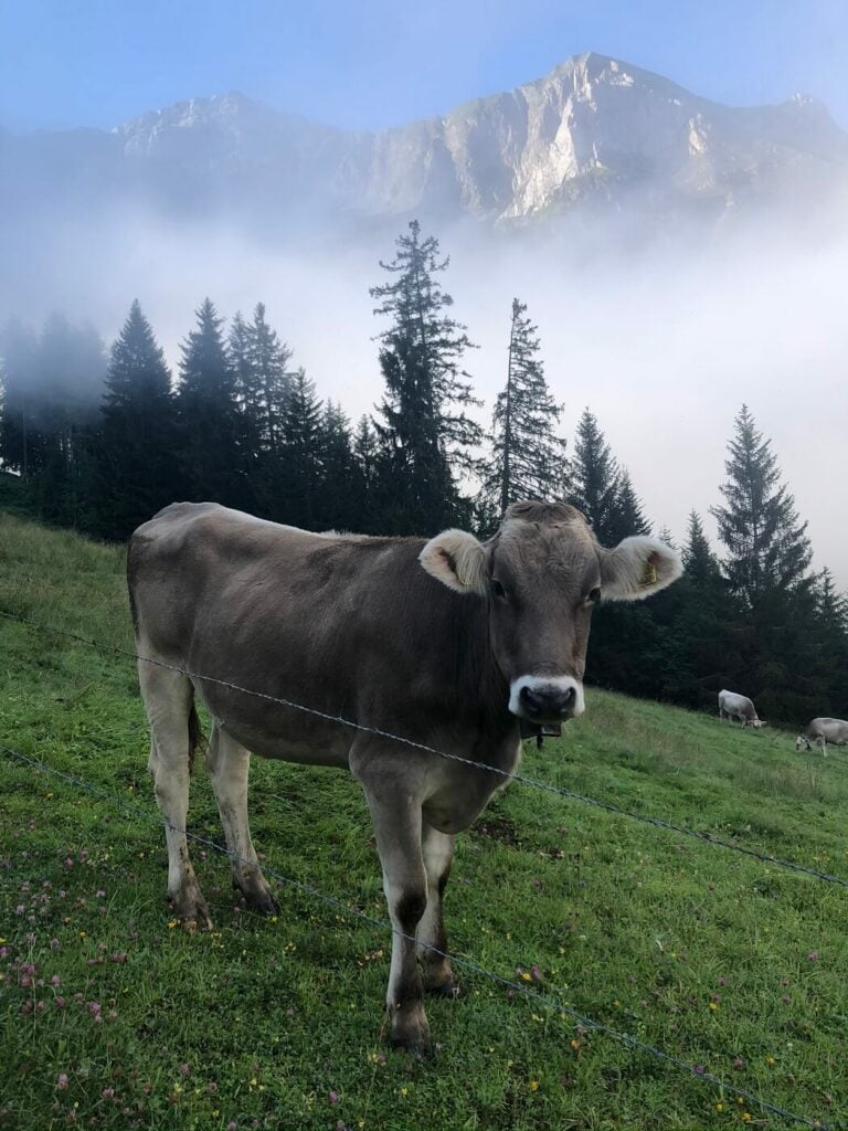
A cow in one of the pastures of the Eigenthal-Pilatus trail. Classic Swiss?
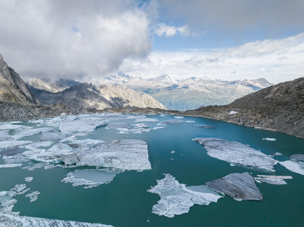
Icebergs in Switzerland, Chuebodengletscher.
Transportation in Switzerland
If you rent a car or use your own, beware free parking is virtually non-existent in Switzerland, except for some mountain passes or isolated areas. Additionally, travel times may be longer than you’d expect, as you will often have to drive around or up and down mountains to go anywhere in the Alpine areas. On the upside, you are pretty much guaranteed to have a very scenic drive!
- If you are looking for car rental options, I’d recommend searching & comparing the best deals on Discover Cars.
- If you are planning to rely on public transportation, consider purchasing a Swiss Travel Pass, Landing from 3 to 15 days of unlimited travel by train, bus, or boat, the Travel pass also includes transportation to beautiful locations such as Mount Rigi, Stoos or Stanserhorn.
Use the SBB app to search for transportation and travel times. Connections are pretty good everywhere and in winter you will even see plenty of people with skis or snowboards going to the mountain by train.
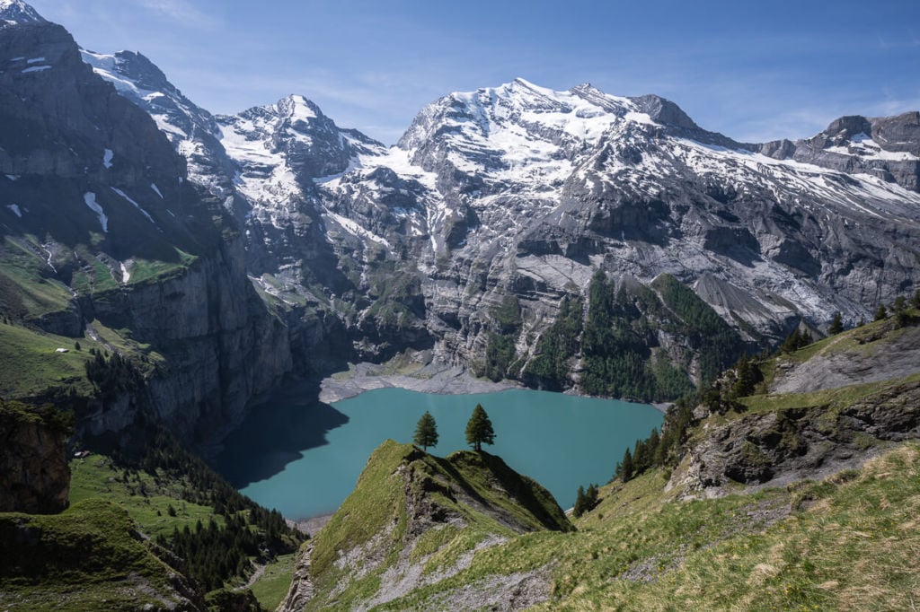
Oeschinensee, easy to reach by public transport.
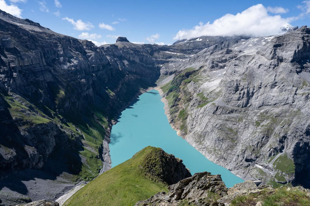
Limmernsee, is very difficult to reach by public transport.
Safety
As already mentioned, make sure you are comfortable with the difficulty level of your trail. Wear sturdy hiking boots. Unless you. are a trail runner, I highly recommend boots that cover your ankles, especially if you have a heavy backpack on uneven terrain. My boots saved me from spraining my ankles several times and you don’t want to injure yourself on vacation.
Ticks: especially on the north side of the Swiss Alps, ticks are a real risk. Bring a tick repellent.
When the s**t hits the fan: if you find yourself in need of rescue in an isolated area with no means of getting help, you may need to contact Rega for help. Also, you may consider becoming a patron for as little as 40 CHF; rescue for patrons in need of help is free.
Other than that be prepared for any kind of weather. Above 2,500 meters, it can snow even in August if the conditions are right.
Also, remember the sunscreen, at high altitudes, it does not take much to get a sunburn. Even 30 minutes on a sunny day could be enough.
Conclusion
Now you should be equipped with the basic knowledge and information to start exploring some of the best hiking and photography locations on your own. Scroll down to discover new locations and to plan your itinerary!
