Rigi Hochflue Alpine Trail Hike, Lake Lucerne, Switzerland
The Rigi Hochflue Alpine Trail is a difficult and partly exposed hike to one of the main summits of the Rigi massif. Of all the others, this is definitely one for the most experienced hikers.
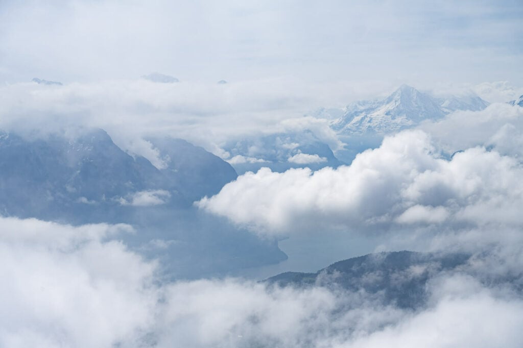
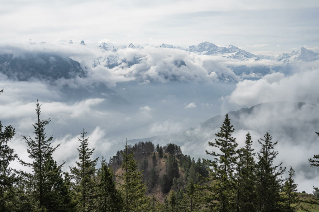
View from the Top Toward Lucerne
At an altitude of 1698 m and located in the canton of Schyz, Rigi Hochflue offers fantastic views of Lake Lucerne and the mountains around it. The panoramic views on a clear day are simply spectacular.
There are actually several possible routes to get to the top, all of them challenging alpine trails.
On approaching from the South, described here; another one approaching from the North of similar difficulty, and another one approaching from the East, even more challenging.
The route described here is the one approaching from the South – the only one I did so far. I will update the post with other routes in the future, as soon as I manage to complete them.
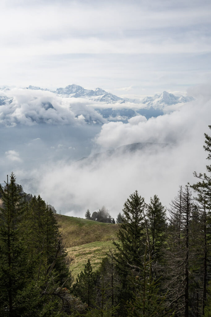
Table of Contents
Overview of the Rigi Hochflue Alpine Trail Hike
The table below refers to a hike starting from Brunnen and returning there the same way. Note the map below, includes a longer detour which also includes the Rigi Stockflue summit.
| Max Altitude | 1698 m |
|---|---|
| Distance | 13,5 KM |
| Elevation gain | 1,270 ↑ / 1,270 ↓ |
| Hike time | 5:00 / 6:00 Hours |
| Hike Difficulty | Hard/Exposed |
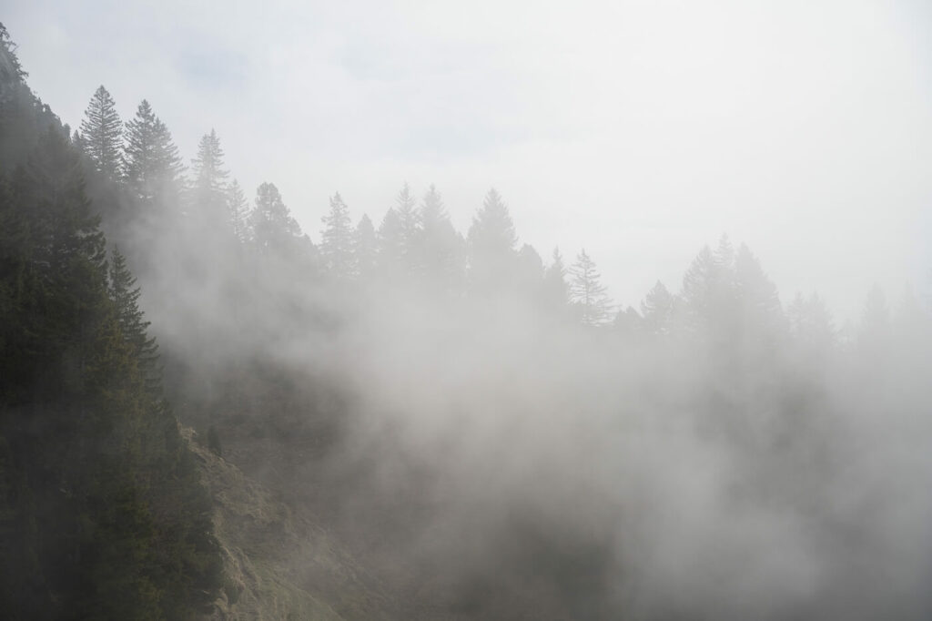
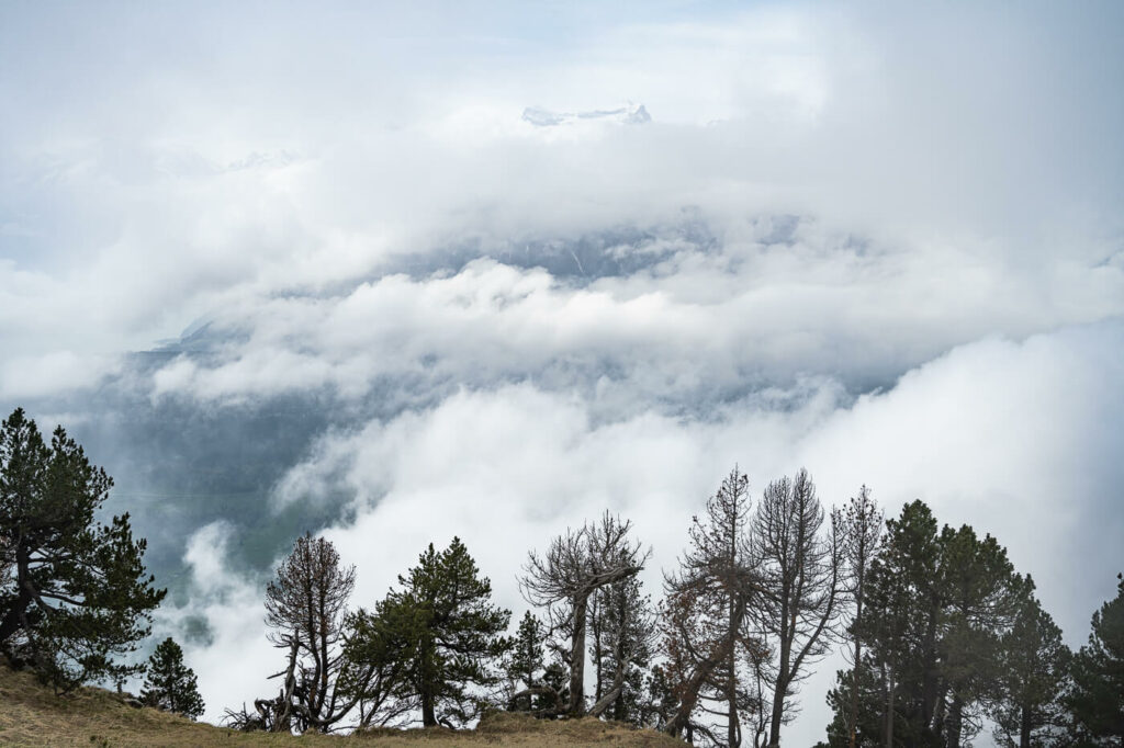
The beautiful forests around Mount Rigi on a foggy day.
How to get to Rigi Hochflue and Parking
There are several ways you can approach this Alpine trail from. I personally chose the trail from Brunnen. It is less trafficked compared to Starting the hike in Arth-Goldau, but still easy to reach also by public transport.
This is the trail I will describe here.
- Driving Directions: from Lucerne, you would have to take the A2 highway, the A4 until the Exit to Brunnen. Same if you are coming from Zurich. If you are coming from the south, you would actually need to take the panoramic Axenstrasse and follow it until you reach Brunnen.
- Parking: paid parking is available next to the trailhead. Note you would have to drive around the cable car station to park in the gravel parking area. This is because the parking spots on the road next to the entrance of the cable car are reserved for the Cable Car’s customers. So you could park there if you are taking the cable car up instead of Hiking.
- Public Transport: Totally feasible by public transport, even as a day trip from Luzern or Zurich. then take bus 508 to the Brunnen Seilbahn. get off at the Urmiberg Bus stop. Here you can find prices and the timetable of the Brunnen Seilbahn Cable Car.

The Rigi Hochflue Alpine Trail
The first part of the trail is rated as T2, but the last part of the trail is rated as T4, (you can read about these difficulties levels on my main hiking in Switzerland page).
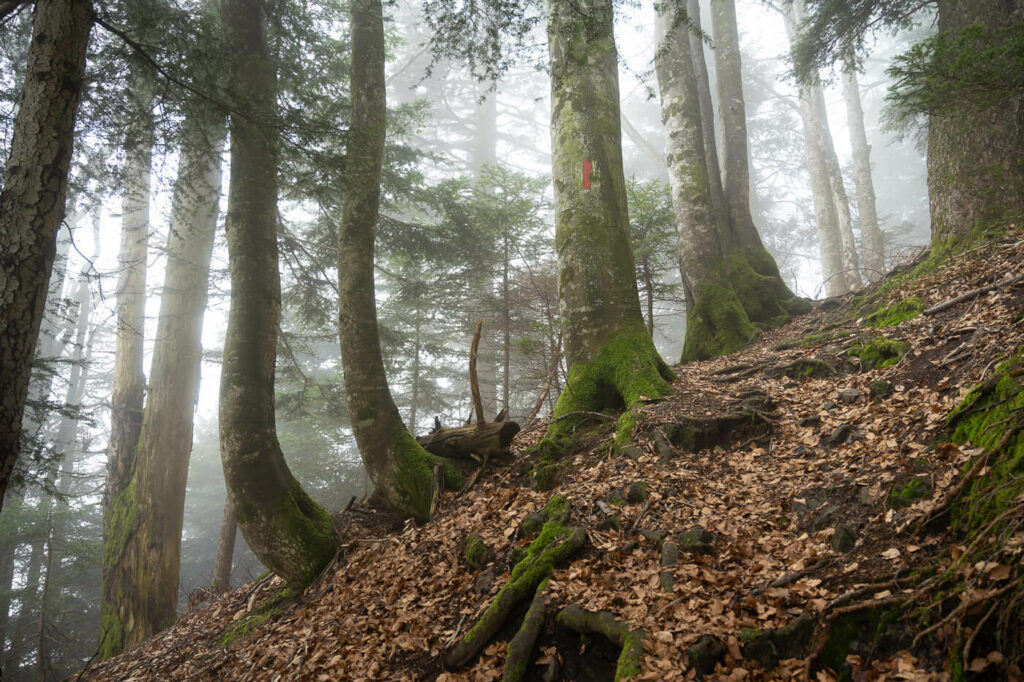
The first part is a long trail that passes through the beautiful forests along the slopes of Mount Rigi. It’s a rather easy hike, albeit long. It will take anywhere between 2/3 hours, depending on your pace.
Some parts are rather steep, even in the forest, but nothing that will require scrambling. Still, it can be slippery especially when wet, as there are many exposed tree roots.
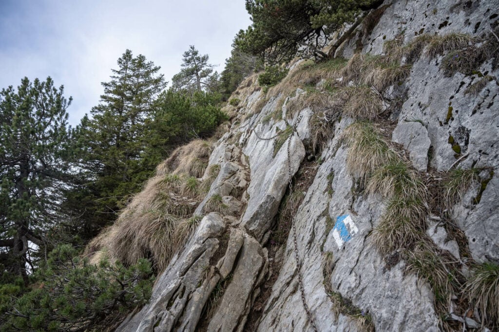
One of the Alpine trail sections with chains.
The trail gets challenging closer to the summit, where the trail marks become white and blue, the Swiss denotation for T4/6 – in short, challenging alpine trail with considerable risks and that may require specialist equipment.
There are chains you can hang on to for most of the way to the top, and a little scrambling is required here and there. The relatively flat summit is marked by a cross. Enjoy the views!
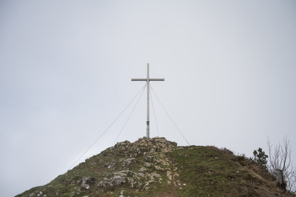
The Summit of the Rigi Hochflue, marked by a cross.
The Rigi Hochflue Alpine Trail Hike Photos and Photography Tips
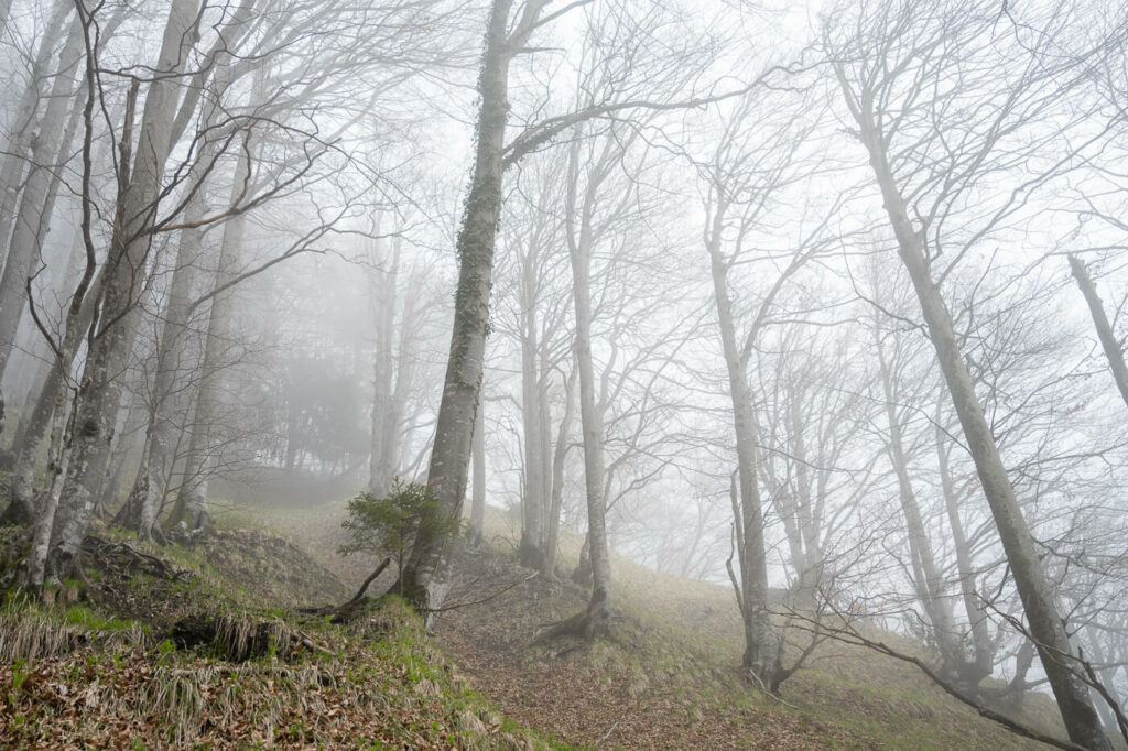
While you don’t see much of the great panoramic views in the first part of the hike, the forest is beautiful enough in its own right. Either in nice weather or with mist around, you’ll love this part of the trail if you like being in the woods and forests in general. I surely enjoyed it.
There are many beautiful trees in this forest and a few waterfalls here and there. So while you don’t see any of the panoramic views, it still is a very photogenic forest. If you like forest and tree photography, this will be right up your alley.
Trees in the fog
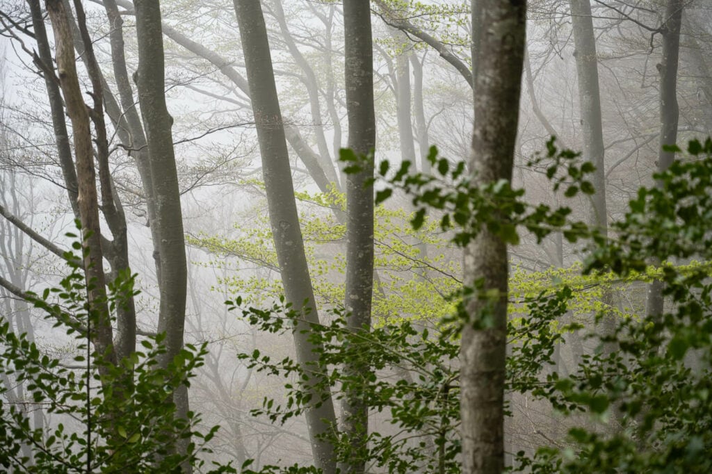
Spring colors in the foggy forest
Trees in the beautiful forest around Mount Rigi
The top offers wide, fantastic panoramic views. Like on most occasions in the Swiss mountains, you won’t need anything much wider than a 24mm lens, which is the one I used on this hike. A 24-70mm lens to be precise. that range was more than enough.
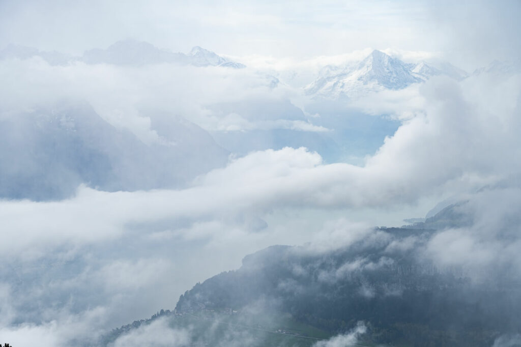
View from the top of the Rigi Hochflue

View from the Top Toward Lucerne
Map of the Rigi Hochflue Hike
The map below includes a longer panoramic tour which also includes a detour to another summit, the Rigi Stockflue.
Where to stay
If you want to hike up there for sunset and stay in the area, there is a campsite right across the road. Brunnen is another option, especially if you are planning to do more hikes in the area.
Otherwise anywhere around Lake Lucern is fine, as this can easily be done as a day hike from anywhere in the Area.
Additional Resources
- Discover more hikes around Lake Luzern: the Hike to Fronalpstock, Niederbauen, Stanserhorn, or the Mount Rigi Hike.
- Check out the main Switzerland page for more hikes and an overview of Hiking in Switzerland.
- You may also want to check out the Best Hikes around Lake Lucerne.


Leave A Comment