Rigi Stockflue Hike (Alpine Trail) Switzerland
The Rigi Stockflue Hike is a short but technical hike, in its last stretch. At an altitude of 1,137m, this is not a prohibitive hike by any means, but it is a bit of a leg burner and the last bit requires some basic climbing skills. And a head for heights. As you can see, the view speaks for themselves.
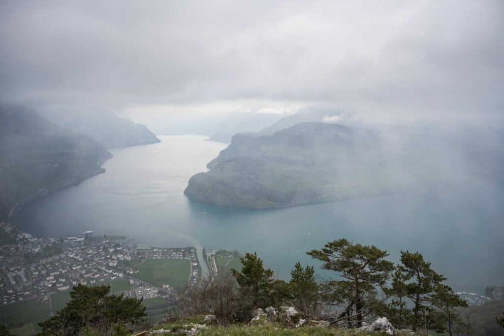
View from the top of the Rigi Stockflue
So while there are no dangerous, or exposed areas up until the very end, the last bit is all of it combined. So while the views are well with the effort, you should only attempt this hike if you have a bit of climbing experience and a good head for heights. The danger of falling is real an it would be very, very ugly.
The best way to access it is from Brunnen, a small town situated on the southeastern shores of the beautiful Lake Luzern. you can either start the hike from there or take the cable car up; the mountain station is just a five minutes walk away form the alpine trail that leads to the summit of Rigi Stockflue.
Table of Contents
Overview of the Rigi Stockflue Hike
The trail is rated T2 in the first part and T4 in the last bit.
| Max Altitude | 1,137m |
|---|---|
| Distance | 4,92 KM |
| Elevation gain | 640↑ / 640↓ |
| Hike time | 2:00/ 3:00 Hours |
| Hike Difficulty | Moderate/Exposed |
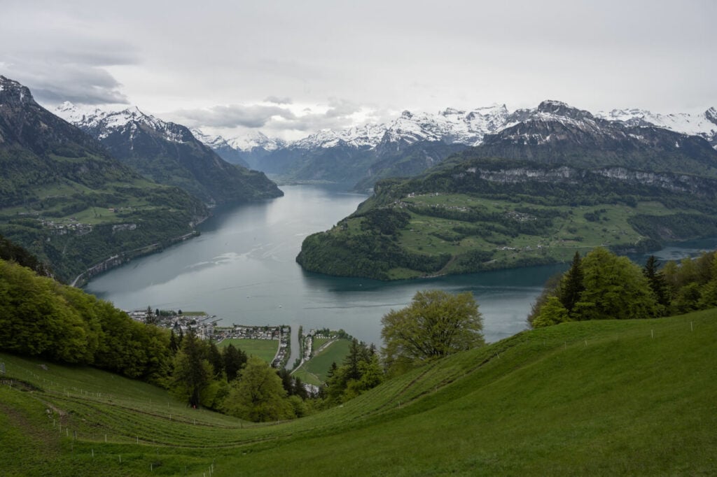
View from the mountain station of the Cable Car.
How to get to Rigi Stockflue and Parking
- Driving Directions: from Lucerne, you would have to take the A2 highway, the A4 until the Exit to Brunnen. Same if you are coming from Zurich. If you are coming from the south, you would actually need to take the panoramic Axenstrasse and follow it until you reach Brunnen.
- Parking: paid parking is available next to the trailhead. Note you would have to drive around the cable car station to park in the gravel parking area. This is because the parking spots on the road next to the entrance of the cable car are reserved for the Cable Car’s customers. So you could park there if you are taking the cable car up instead of Hiking.
- Public Transport: Totally feasible by public transport, even as a day trip from Luzern or Zurich. then take bus 508 to the Brunnen Seilbahn. get off at the Urmiberg Bus stop. Here you can find prices and the timetable of the Brunnen Seilbahn Cable Car.
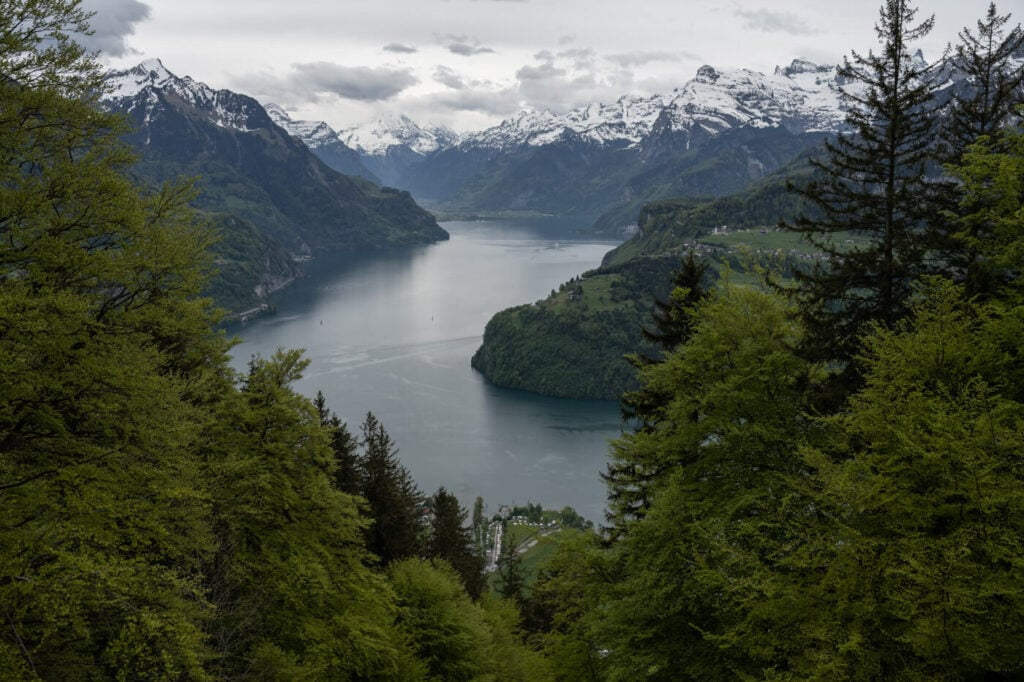
View of Lake Lucerne from the Trail
The Rigi Stockflue Trail
The first bit of the trail is on paved ground and it passes through a residential area. After that, the trail crosses some wooded areas and some fields, and some more houses and mountain huts. The trail is quite steep all the way up to the mountain station of the cable car.
It is well-maintained and easy to follow at all times. it can be very muddy and slippery or wet, especially on the upper part. Also, some sections have exposed tree roots, which are also quite slippery. So be careful there.
Once you reach the mountain station of the cable car, you will have to take a gravel road to your right and follow the whit-blue-white signs to Rigi Stockflue. Here the most difficult but short part of the hike begins, and it’s more a climbing section than a hiking one. First, you will have to climb up a rocky section with the help of a fixed rope. then climb on a small ladder.
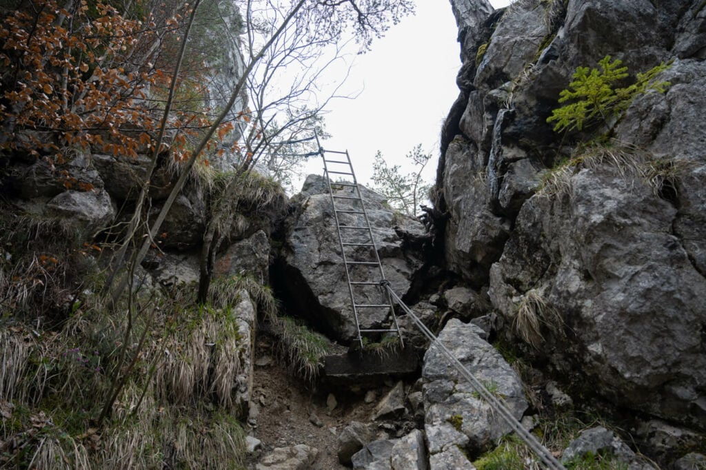
The Ladder anchored to the rock that leads to the last bit of the climb.
After the ladder, there is another rocky section you would need to climb on. This is the most dangerous part, but there are ropes and steel steps in the rocks you can help yourself with. Still, a fall is a serious risk so this passage is not to be taken lightly. It is also quite narrow and it would be harder to pass through with larger backpacks. It was with my Ospery Thalon 44. I essentially had to lie down and slide up/down the rock.
It’s a rather short section though, and you will be on top of the Righ Stockflue right after that. There is a huge cross and a bench you can sit on. It’s a fantastic view from up there, where you can spend some time gazing at the lake and the mountains around it. Enjoy the views!
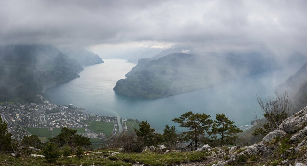
Panoramic image from the summit
The Rigi Stockflue Hike Photos and Photography Tips
The views along the trail, although somewhat monotonous, are fantastic. Monotonous because you get essentially the same view of Lake Luzern, it just gets better and better as you go up. By no means “monotonous is meant as “boring” here, so make sure you turn around and snap some photos as you hike up!
This would be a great Sunset hike in Summer. Because the sun sets almost on the opposite side of the lake and you’d get great sidelight. I haven’t been there for sunset yet, but it definitely is on my list and I’ll head there again as soon as the conditions are right.
In terms of lenses, anything above 18mm to 70/100 should work great here. Ultrawide down to 14mm may be a little too wide for most uses, and the mountains on the other sides of the lake would appear too small and won’t render as good.
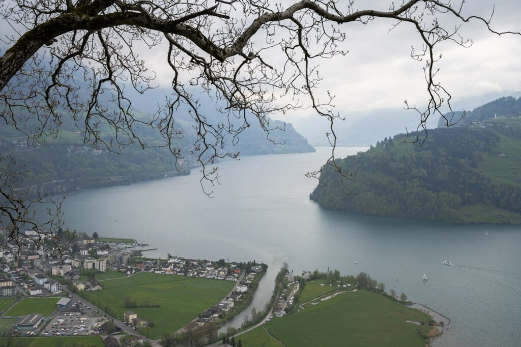
View of the lake from the first part of the trail.
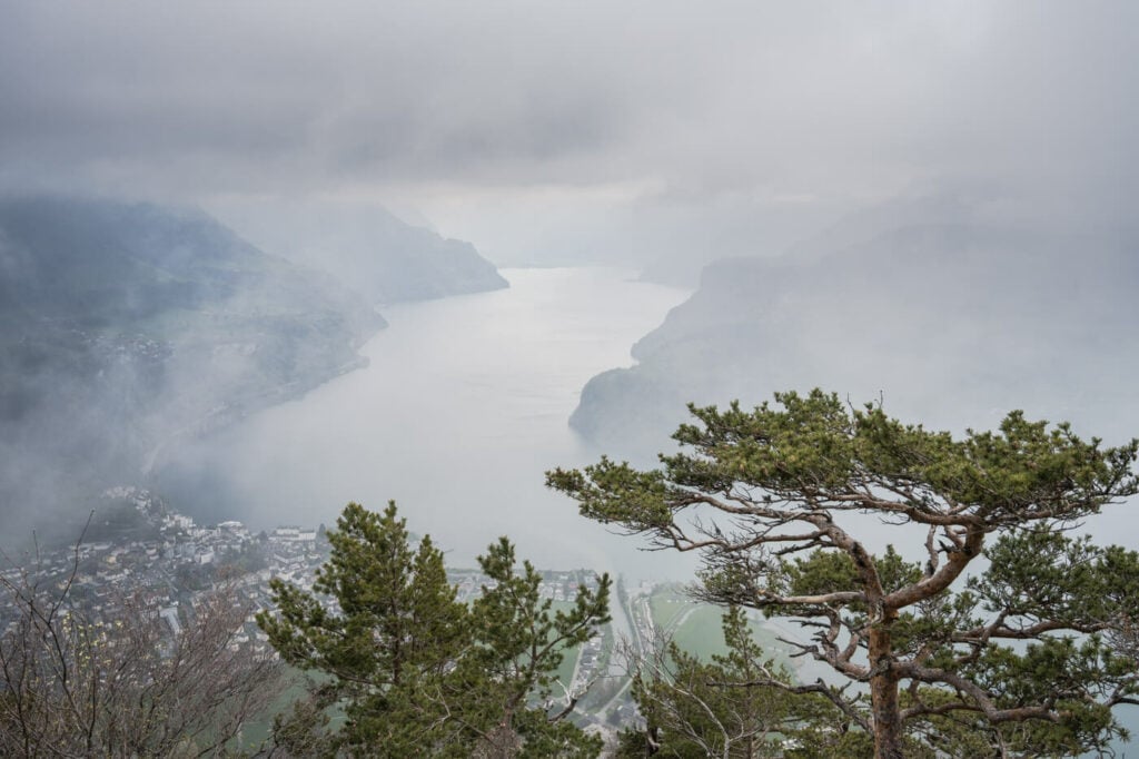
Clouds opening up to the views from the top.
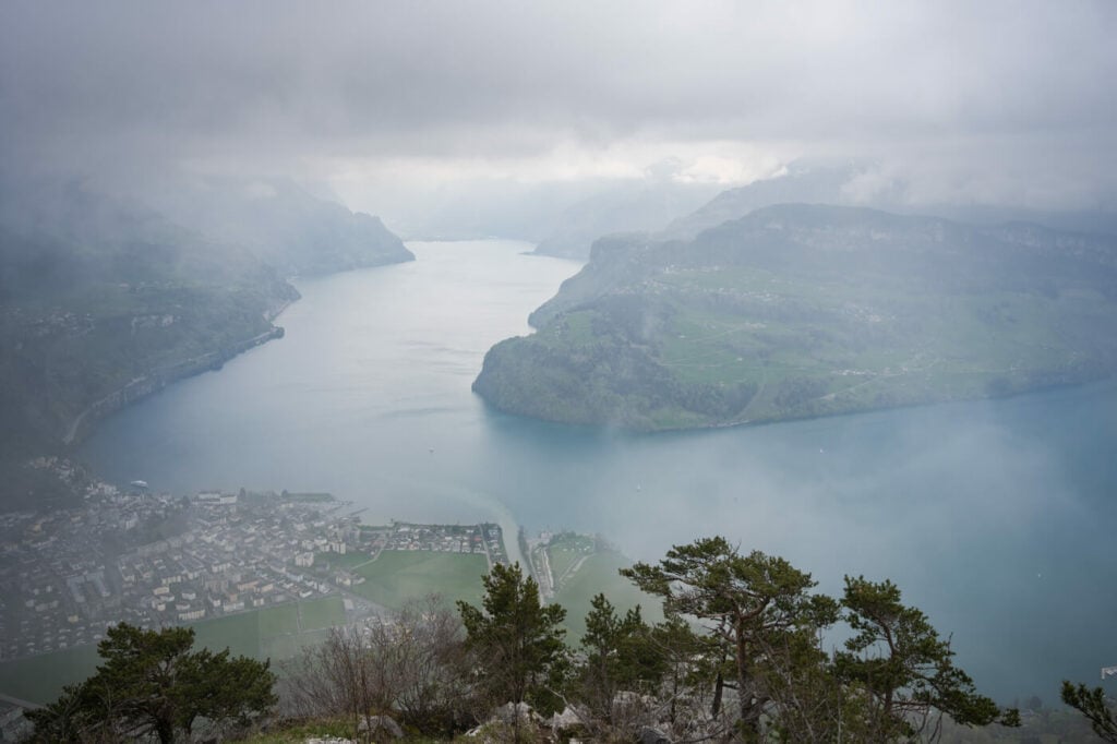
View from the Summit
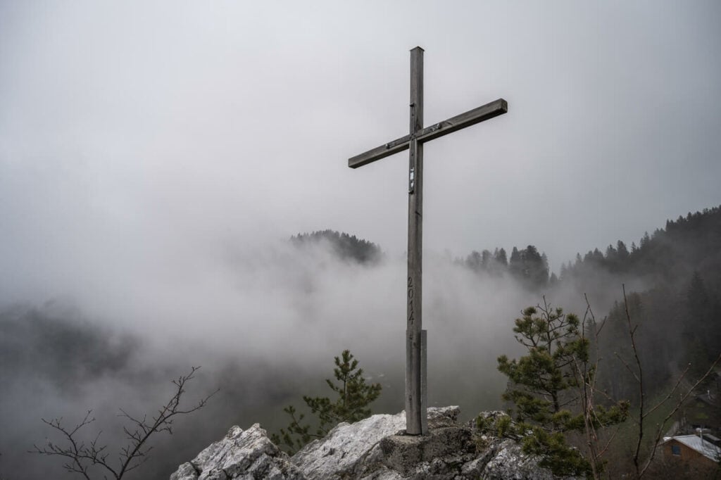
The Cross on the Rigi Stockflue Summit
Map of the Rigi Stockflue Hike
Here is the map of the hike. As you can see there are multiple trails in the area. Make sure you pick the correct one as there is an even more dangerous/exposed trail leading up to Rigi Stockflue.
Where to stay
If you want to hike up there for sunset and stay in the area, there is a campsite right across the road. Brunnen is another option, especially if you are planning to do more hikes in the area.
Additional Resources
- Discover more hikes around Lake Luzern: the Hike to Fronalpstock, Niederbauen, Stanserhorn, or the Mount Rigi and Rigi Hochflue Hikes.
- Check out the main Switzerland page for more hikes and an overview of Hiking in Switzerland.
- You may also want to check out the Best Hikes around Lake Lucerne.

Leave A Comment