The Fronalpstock Hike the best view over Lake Lucerne – Switzerland
The Fronalpstock Hike offers the best view over Lake Lucerne. Conveniently located and easy to reach, Fronalpstock provides several options for Hikers and Photography.
The view over Lake and the towering mountains surrounding it is glorious. Combined with the blue waters of the lake and the green vegetation, the vista is picture-perfect. Somehow you have the feeling of looking at a Norwegian fjord. This impression may have a factual basis, as the valley below may have glacier-carved origins.
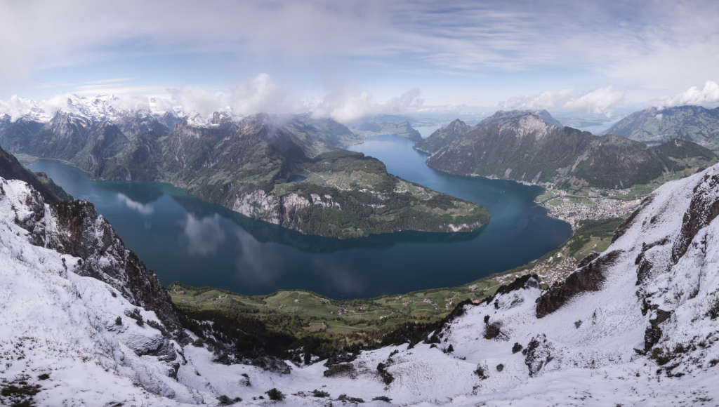
View over Lake Lucerne from the top of Fronalpstock
The location is accessible year-round but in winter only either via the gondolas or with Snowshoes from Stoos.
Also, there are several different routes one can hike up to the mountain. For example, if you are spending the night in the car-free mountain village of Stoos, you can hike up from there.
Here, however, I will describe the Hike from the less-crowded parking lot of Morschach. You will also have three different routes you can choose from to reach the top: a gravel road to the village of Stoos, a leg-burner trail (T2) and an alpine route (T3) which stems from the previous trail. The Alpine route is only doable.
How to Get to Fronalpstock
- Getting there: If you are driving, you can leave the car at the parking lot in Morschach. It’s reasonably cheap too for Swiss standards. In addition, public Transport serves both the Stoos and Rorschach Stations, so if you are not renting a car, you can plan transportation from wherever you are using the SBB site or the SBB app.
- Start of the Hike: Directly from the old cable car parking lot in Morschach.
- Photography & Scenery value: To me, the best view over Lake Luzern. Several scenic vantage points are available along the trail too.
- Difficulty: Medium/Hard.
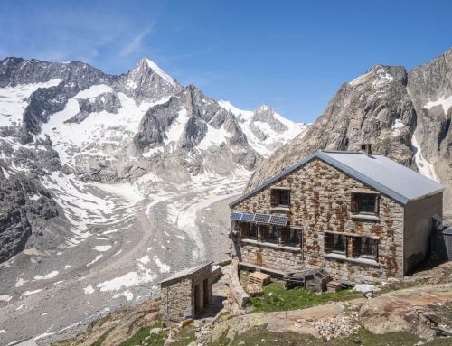
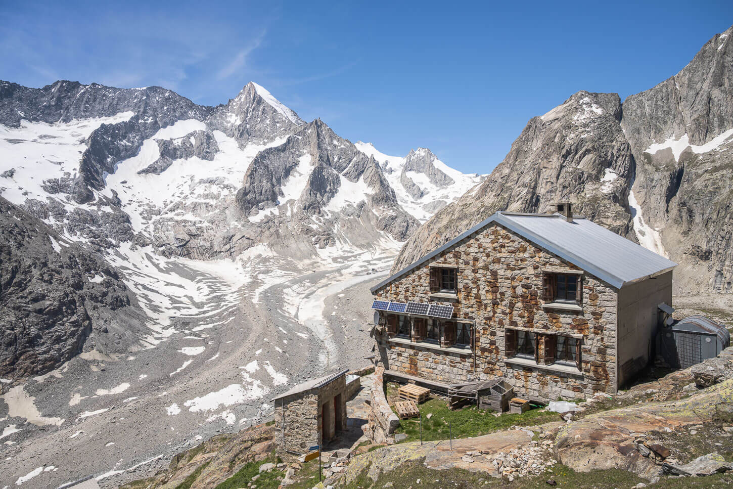
- Tip: In summer, the hut on top also offers to rent a tent to sleep in the open. If spending the night up there to watch the stars and catch both Sunrise and Sunset appeals to you, you should probably check this out (the landing page is in german but works well with google translate).
The Fronalpstock Hiking Trail
| Distance | Ascent | Duration |
|---|---|---|
| 12,8Km | 1,200 MT | 3.30/4.30 Hrs |
From the parking lot in Morschach, you should head toward the shack in the back. There, you will see a narrow trail between two fields:

The Shack behind the parking lot and the start of the trail on the left
Follow this trail until you reach a stretch of paved road. Then, follow the road uphill until it turns into a gravel road. After a few hundred meters, you will see the signs pointing toward each of the three available trails.
The easiest option is to continue to the village of Stoos and pick the trail to Fronalpstock from there. After that, you can follow the sign from the village of Stoos.
The other two signs will still point to the same trail. The red/white one indicates the mountain trail, and the blue/white one marks the alpine trail. Avoid the latter as Climbing/safety gear would be required.
Keep following the red-white trail. You will reach the first slope, which is a bit of a leg-burner. The trail here is well-worn and carved in the mountainside.

The second shack on the way up.
When you get to the shack, the trail will continue to your left, and it will gently continue on a mostly flat surface for a bit before the second part of the climb, leading you through some vegetation. Keep following the trail up.
Once you step out of the vegetation, the trail will cross some pastures and briefly turn rocky. But, keep going until the trail merges with the one coming from Stoos. From here, you will see the top of the Mountain.
Photos and Photography Tips for Fronalpstock, the best view over Lake Lucerne
The top offers the best views. In my opinion, these are the best views over Lake Lucerne. The location is perfect for blue-sky photography and sunrise or sunset, depending on the season and the exact sunrise/sunset locations.
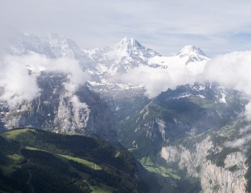
On the way up, however, there also are different spots with superb panoramic views. The Kleiner (link to the hike) and Grosser Mythen will be constantly visible.
In the first part of the ascent, a cross will mark a vantage point with great views over the valley below:

The Vantage point in the middle of the first part of the ascent
Several other options are available along the trail, also suitable for drone shots:

Drone shot from the flat section between the first and second climb
You will have more compositional choices using the vegetation as your foreground or framing the landscape as you go up.

View from the trail before it enters the part through the vegetation
Just before reaching the top several other panoramic views are available on the right side of the trail. The views here offer several different options to choose from for your foreground.

Panoramic view close to the top
Once you reach the top, the vista will suddenly reveal itself in all of its glory. This is where the Fronalpstock hike will show you the best view over Lake Lucerne.
Also, you will have several different platforms to choose from in front of the hut on top. You will probably want to try them all, searching for the composition that will suit your taste.

View from the top
View over Lake Lucerne from the top of Fronalpstock
Generally speaking, this location is particularly suited for Panoramic photography. On the way up or from the top, you would want to capture as much as possible of those magnificent views!
If you spend more than one day in the area or stay overnight, you should also consider hiking the Stoos Ridge hike between Klingestock and Fronalpstock.
Map of the Fronalpstock Hike
Here is the map of the hike from the parking area. If you need a GPS track, you can download the .GPX file from the Komoot activity.
On this occasion, I had been wandering off the trail a couple of times as there was snow on the trail, and it was now always visible.
Where to Stay
Apart from the tent accommodation provided by the Hut on top, the Village of Stoos would be the most obvious choice. Several accommodations are available, as well as restaurants and bars.
Additional Resources
- Check out my main Switzerland page for more info and Photo Hikes in Switzerland.
- You can also snowshoe to Fronalpstock in Winter. Check out this amazing Snowshoe Hike.
- Here are more great hikes above Lake Lucerne, the Niederbauen hike, Mount Rigi Hike, Stanserhorn, Mount Pilatus or the Buochserhorn
- You may also want to check out the Best Hikes around Lake Lucerne.


Leave A Comment