The Klausenpass-Griesslisee Hike – Switzerland
The Klausenpass-Griesslisee Hike is one of my favourites in the area. Located in central Switzerland, it’s easily accessible, it’s doable in half a day, and it includes two major highlights; the view over the Klausenpass and the Glacial lake Griesslisee.
The first time I went for a hike on the Klausenpass-Griesslisee trail, I did not know the Griesslisee existed. I stumbled upon it by chance while trying to circle back to the parking lot.
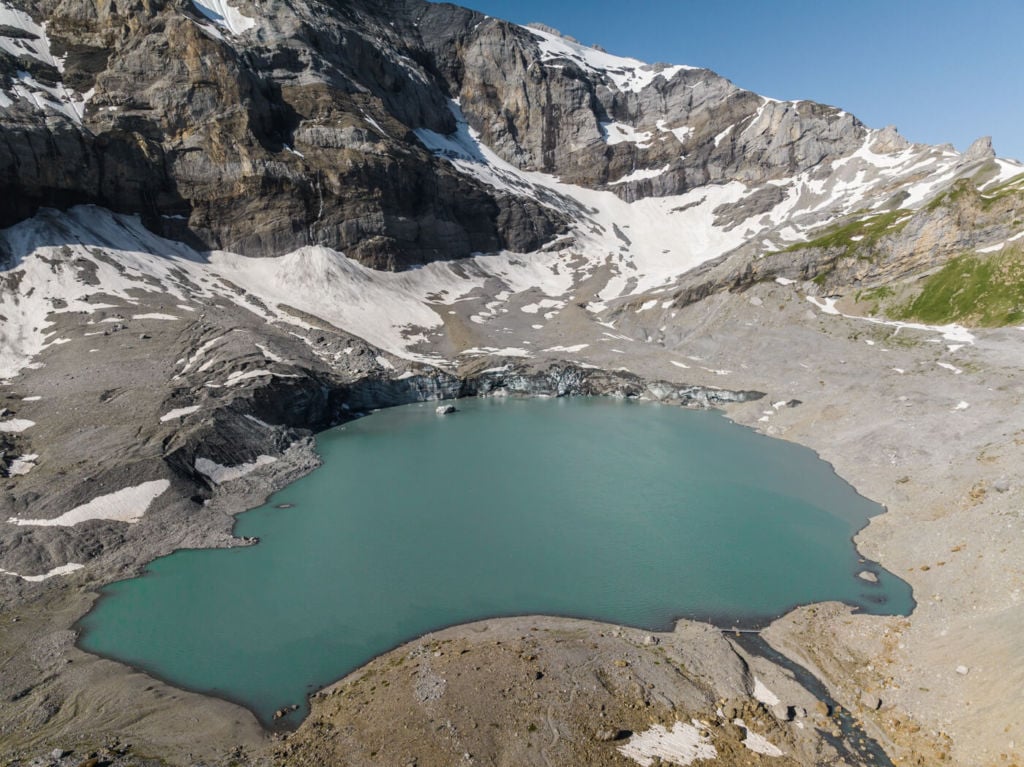
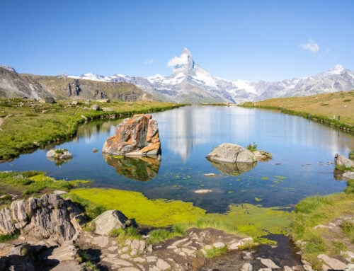
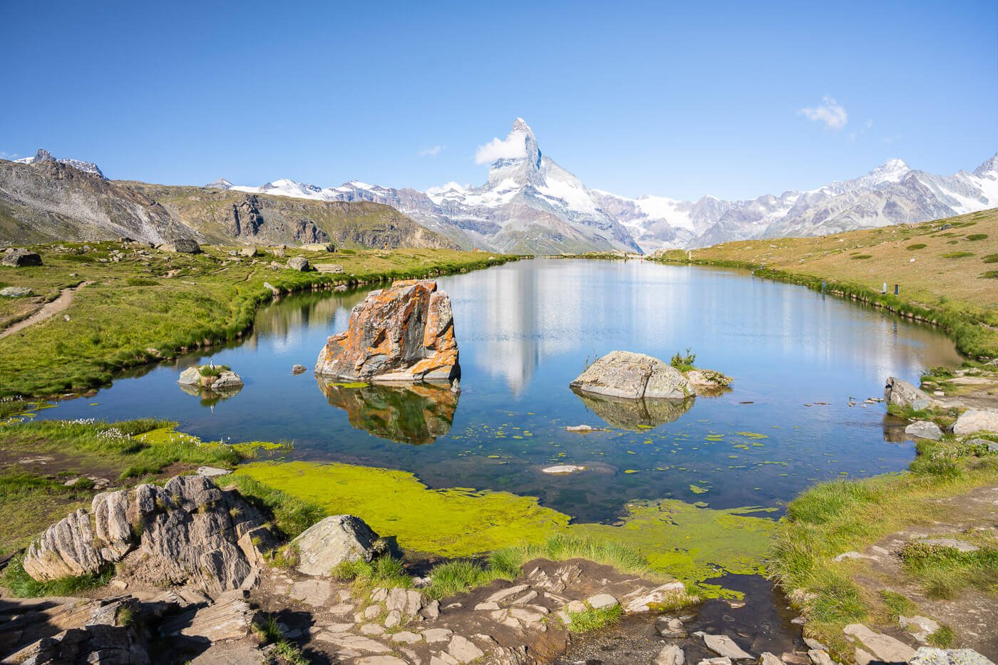
Griesslisee, drone shot
It was the first time I visited, and it was in late spring. The pass had just opened a day earlier. I remember the lake being still half frozen. A lot of snow on the trail too. The main attraction to me was the view over the pass and the view of the mountain road crossing it.
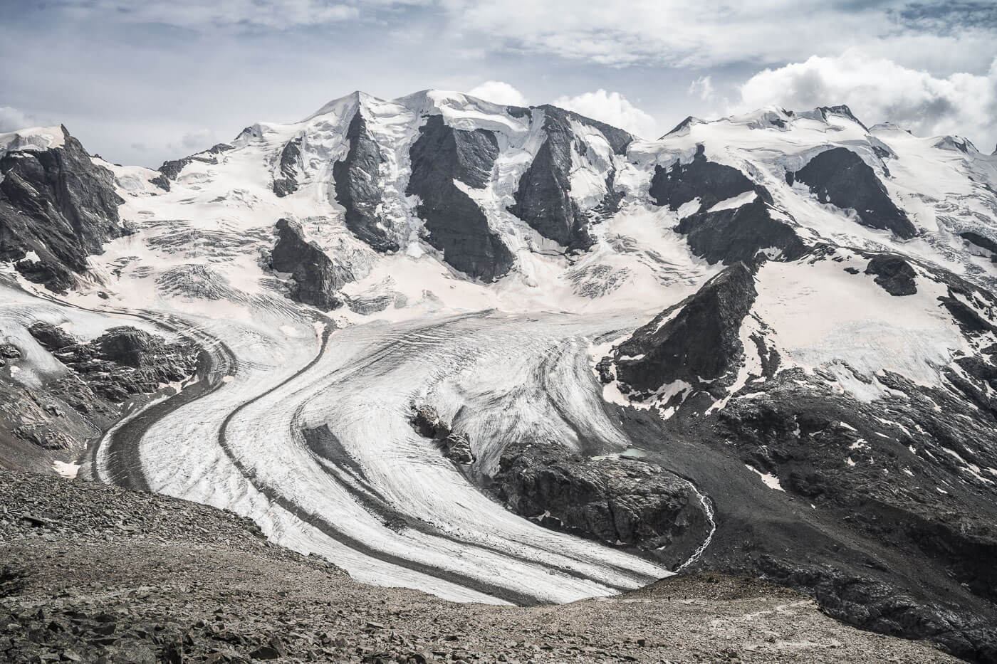
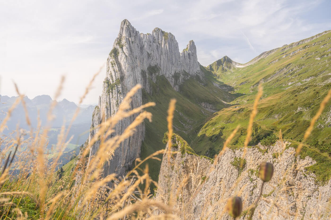
The mountains surrounding the pass, especially on the Glarus’ side, are spectacular and are probably what remains of the glacier that once filled the valley.
Finding a glacial lake so close to the road was the icing on this hike’s cake! ..or so to speak.
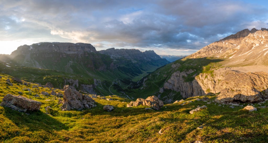
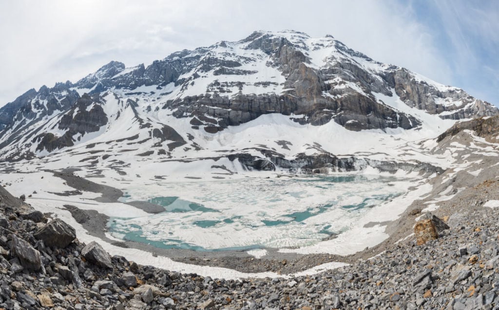
Panorama of the Klausenpass
How to get to the Griesslisee & overview of the Hike
- Getting there: the Klausen pass is usually open only from late spring to early/mid-autumn. It’s possible to check the status here, and I’d recommend you do if you plan to visit in late spring or early to mid-autumn.
- Start of The Hike: From the parking lot on the Glarus side, you will see several trails heading uphill, and you can also start the hike on the small gravel road next to the bar by the parking lot. From there, you can follow the white-red-white trail marks.
- Photography & Scenery value: Scenic views of the landscape from the top of the cliffs over the Klausenpass. The view is suitable for sunrise hikes, especially in the second half of June, since the sun rises directly in front of the pass – Glarus side.
- Difficulty: Easy/Medium, depending on fitness and trail conditions. Too early or tool ate in the season, there may be a lot of snow on the trail.
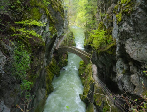
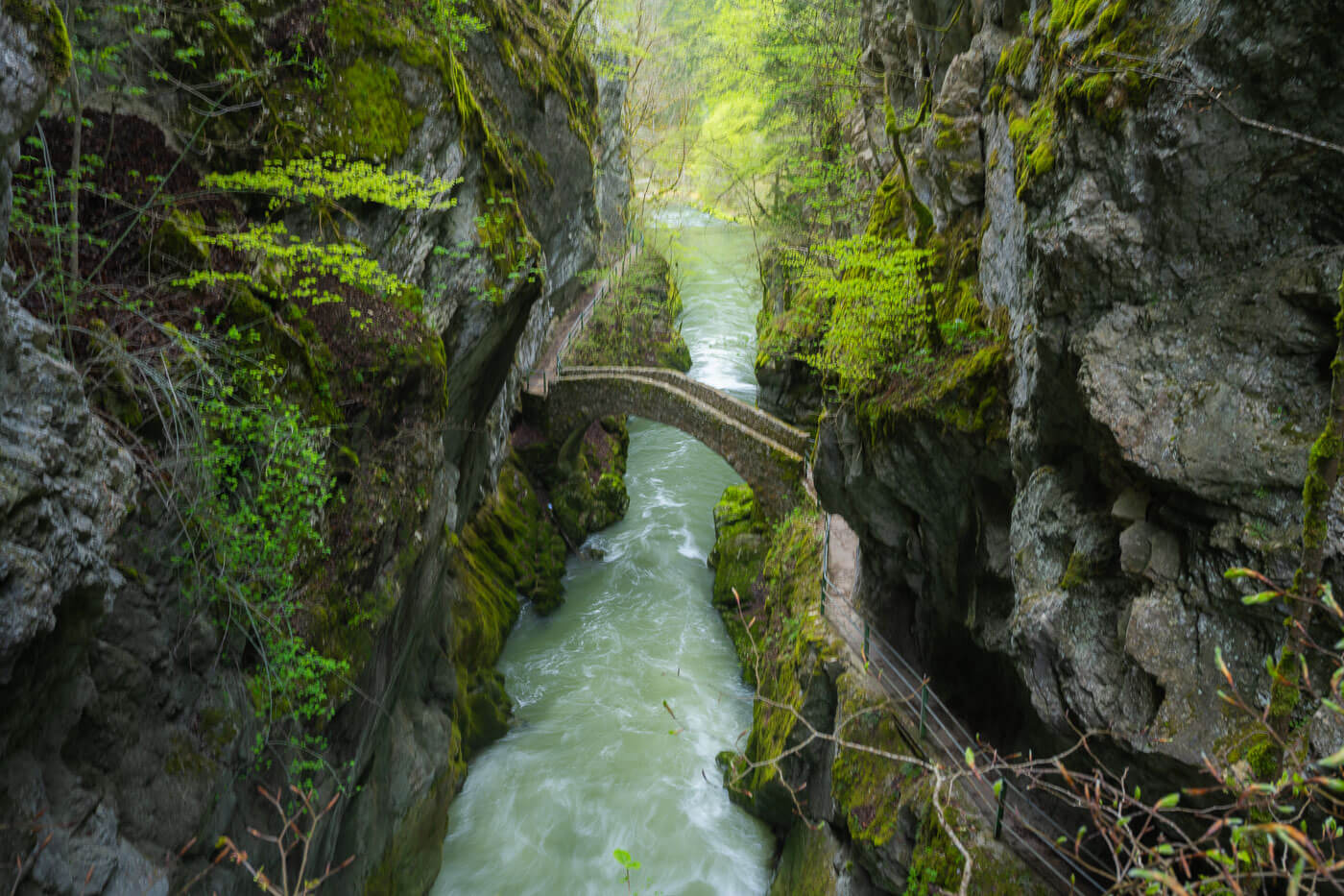
- Tip: The Berglistüber and then Stäubifall waterfalls are close on each side of the pass and both worth a stop. Getting to Stäubifall, however, requires a short 4 km hike – click here for the details.
The Klausenpass-Griesslisee Trail
| Distance | Ascent | Duration |
|---|---|---|
| 7.08 KM | 230 Mt. | 2/3 Hrs |
This is a circular hike, and it can be done both ways, clockwise or counterclockwise. The first part of the trail climbs over the side of the mountain, but it’s never really steep. You will see several trails next to each other, and you can follow any as they eventually converge.
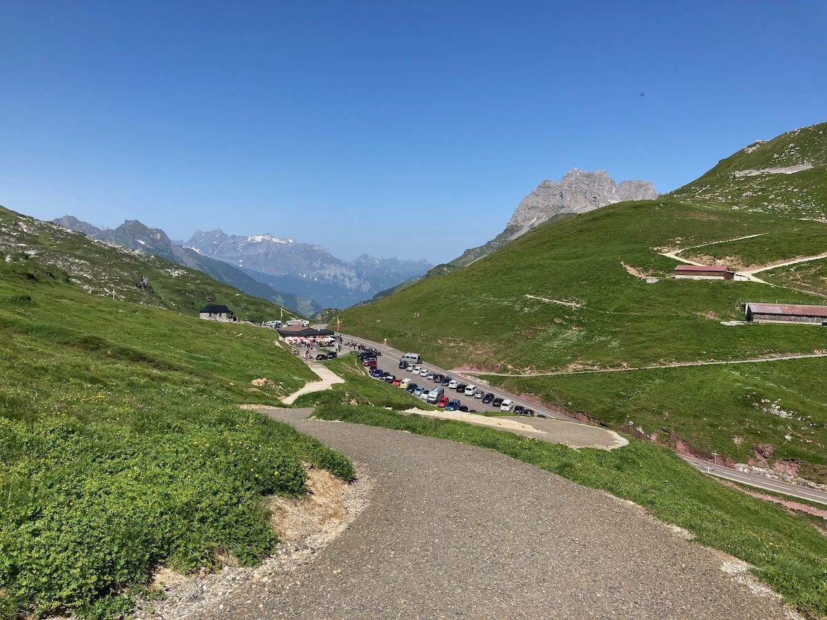
View of the parking area, where the start of the hike is.
The second part of the hike goes over rocky terrain. Carefulness is required here as the terrain is unstable, and the rocks are rather sharp.
there are some good views of the glacier from the side and from the river, but I think it is best shot from a drone.
Photos and Photography tips for the Klausenpass-Griesslisee Hike
The main highlight is the view over the Klausenpass, Glarus side. This is great for sunrise, as that side of the pass faces east. So this is not a great sunset location unless you can find interesting compositions on the other side of the pass (Uri side). This is especially true at the beginning of summer, the sun rises directly in front of the pass.
Still, if you are on the trail and the light is right, some compositions can be worked out at sunset too, even without scenic views.

Sunset on the Klausenpass

Another Sunrise view from the vantage point above the Klausenpass
The pass also gets a lot of car and motorbike traffic, so it is also suitable to shoot some long exposure with light trails from cars or motorbikes. I actually never had the chance to do that type of shooting, but definitely something I will try in the future.

View during a day hike.
The lake is easily accessible and can be shoot from its east river or the north side. Avoid going over the glacier as it is relatively unstable, and there is a lot of rockfall from the surrounding rock faces.
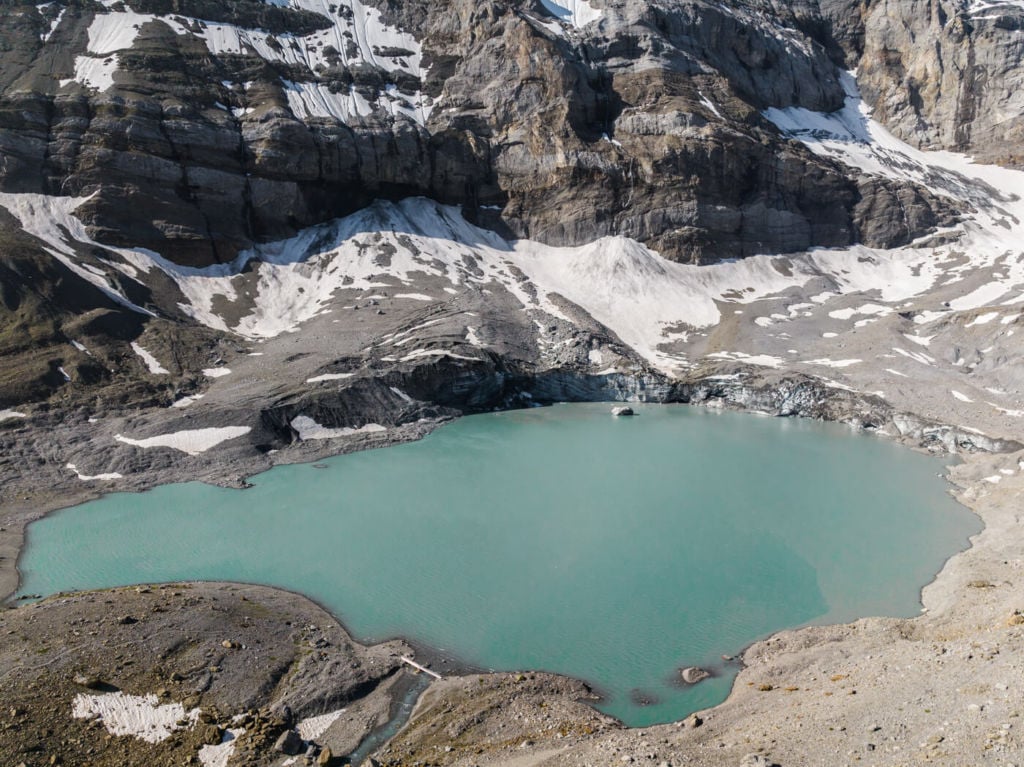

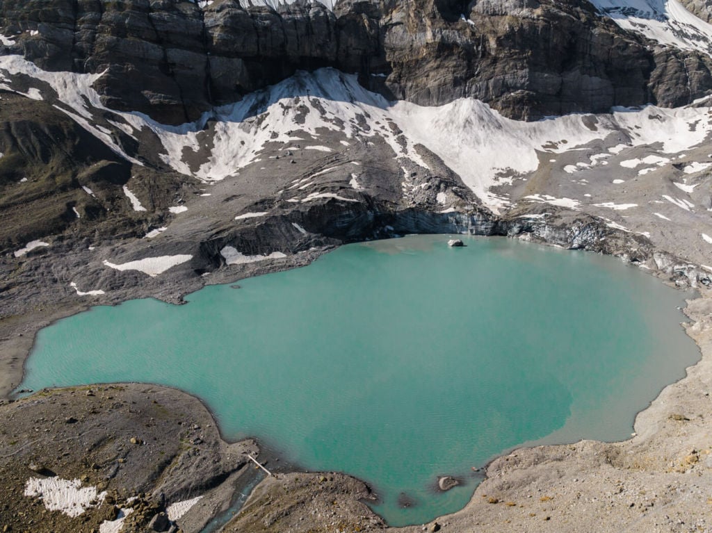
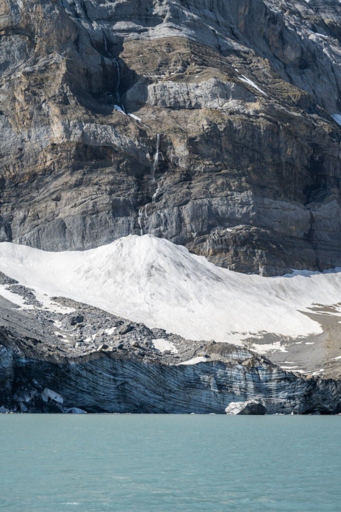
If you are here early in the season, you may find huge chunks of ice on the lake or small icebergs from the glacier.
Semi-frozen lake in late spring
Map of the Klausenpass-Griesslisee Hike
If you need the GPS track, you can download the .GPX file from the Komoot activity.
Where to Stay
The Klausenpass hotel is the only accommodation available on the pass itself. This is also a very popular location for Vans and Campers.
If you want to camp in the Canton of Uri, you can check what’s allowed here (in German).
Additional Resources
- Here are two awesome must-visit waterfalls on each side of the Klausenpass: Stäubifall and Berglistüber.
- Check out my main Switzerland page for more info and PhotoHikes in Switzerland.
- Check out these other great lake hikes in Switzerland: Limmerensee, Gelmersee, Bannalpsee, Triftsee, Glattalpsee, Göscheneralpsee, or Mattenalpsee and Gaulisee.


Leave A Comment