Hike to Røren and Mulstøtinden, Lofoten, Norway
The Hike to Røren and Mulstøtinden possibly is one of the best short hikes on the Island of Moskenesøya in the Lofoten. Easily accessible, easy to hike, typical beautiful Lofoten views.
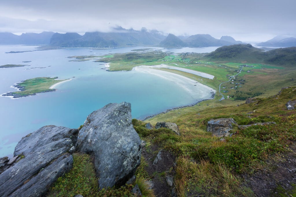
One of the many, great viewpoints on Røren hiking trail.
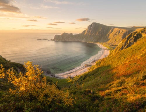
The best viewpoint to enjoy the pretty view of Sandbotnene Bay and Ytresand Beach is Røren. However, the trail continues further to Mulstøtinden, which is the last peak on the same ridge and it offers more viewpoints of the beach as well as the surrounding landscape.
Also, this is a rather short hike, so if you feel up to it, you could easily combine this hike with another one in the area line Nubben, Flakstatinden, or Volandstinden.
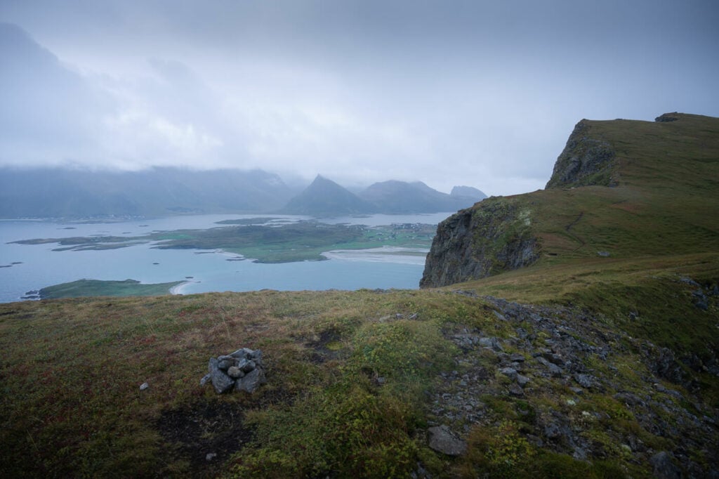
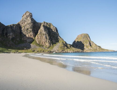
View of the cliffs from the trail to Mulstøtinden.
Table of Contents
Overview of the Hike to Røren and Mulstøtinden & Map
The Hike to Røren and Mulstøtinden is an out-and-back hike of about 5.5 km for the roundtrip. If you just want to stop at Røren, then the hike is a little less than 4km in total.
| Max Altitude | 295 m |
|---|---|
| Distance | 5.54 KM |
| Elevation gain | 410 m ↑ / 410 m ↓ |
| Hike time | 01:30/ 02:30 Hours |
| Hike Difficulty | Easy |
Here is also the map of the Hike. you can download the GPS file for free from the activity below
How to get to Røren and Parking
The trailhead is easy to reach, and your only main problem here will likely be parking, but there are a few options if all the parking spots are taken.
- Driving Directions: whether you are coming from Reine or Leknes, you will need to turn toward Fredvang, drive across both bridges and continue straight toward Yttersand until you reach the end of the road, where you’ll find a parking area.
- Parking: Parking is free, but space is minimal. Like a handful of cars. Which means, it will likely be full. Do note, that you can’t park outside the designated areas. The good news is there is another (paid though) parking further down the road at Innersand. So you could either park at Innersand, or the other paid parking area by the Ryten trailhead.
- Public Transport: there is a bus stop at the trailhead. Bus 771 From Ramberg to Fredvang Stops here. You can check the timetable here.
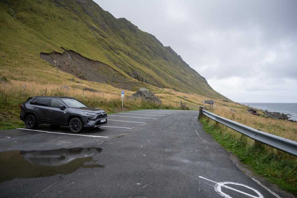
The parking area at the end of the road.
The Røren and Mulstøtinden Hiking Trail
The trail is gated but you can use the ladder to get over the fence. the trail turns immediately to your left and over the boardwalk, so do not continue down the gravel road as that won’t get you to Røren.

The very first part of the hike is rather flat, but as you turn around the mountain the trail will increasingly get steeper.
As you hike the mountain you should also pass by a commemorative stone marking the boundary of the Lofotodden National Park. That’s more or less halfway up the mountain.
From there the views will start to open up, revealing both Yttersand Beach with the mountains of the Flakstadøya island in the background. Plus, the beautiful Sandøya island with its small white sand beach.
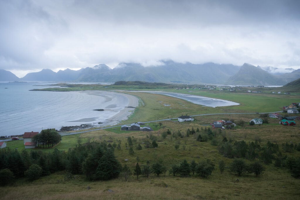

No need to get to the top of some beautiful views of the beach.

Sandøya
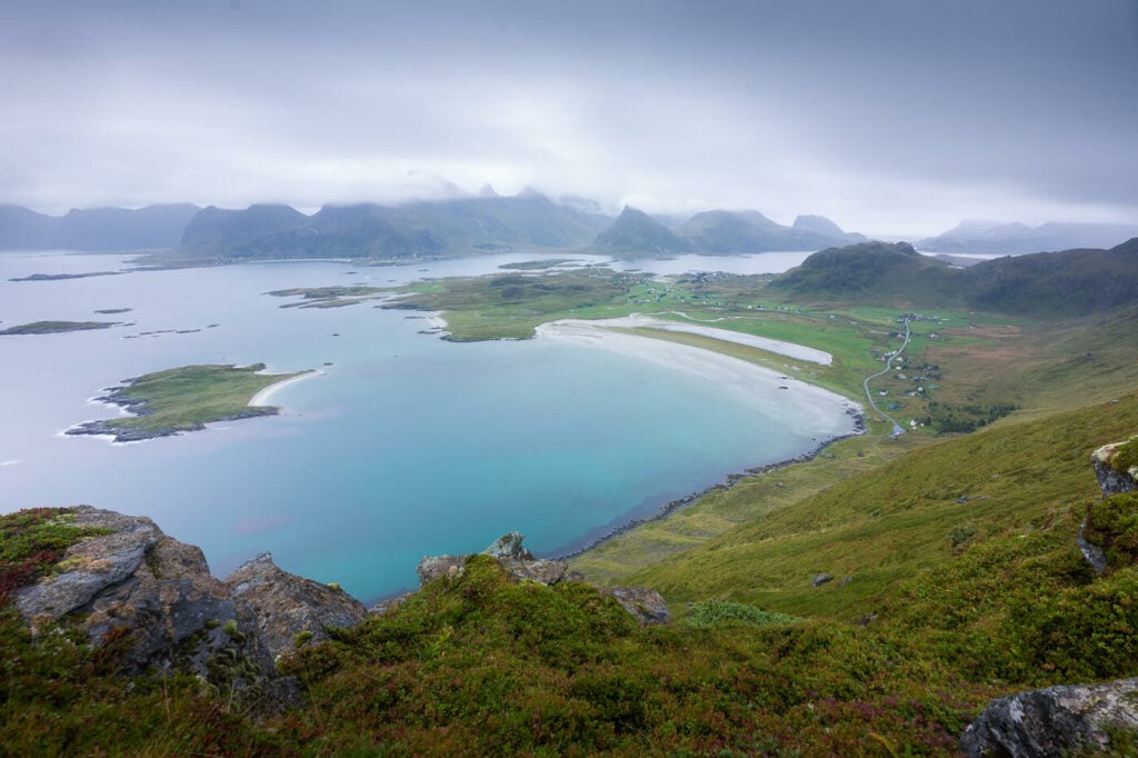
There are several good viewpoints on and around the top of Røren, so that’s a place you can easily spend some time at. If you want to continue to Mulstøtinden, you can follow the ridge trail to the end.
There are more good viewpoints along the ridge trail that leads to Mulstøtinden, on either side of the mountain. The trail then ends on the last small peak along the crest, where you have a rather minimalist view of a few rocks off the coast.
Here you can either head back down or also continue further to the last unnamed small peak to your left.

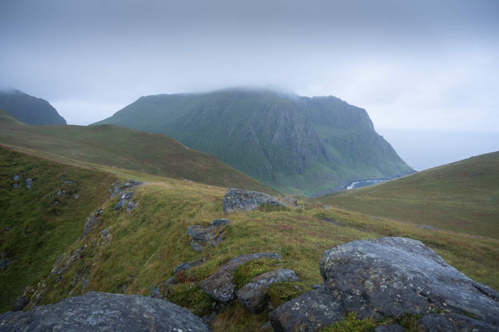

View from the top of Mulstøtinden toward the open sea.
The Røren and Mulstøtinden Hike Photos and Photography Tips
To be honest I think this is a place to visit when the sun is out and the beautiful colors of the sea shine along with the white sand beach. It does look like a tropical beach and it thinks in a ways. As such, I think it does deserve to be portrayed in that way.
However, when I was there It was rather cloudy and rainy as you can see. Typical Lofoten weather. Still, undeterred, I hiked up and tried to capture mostly long exposures.
In such cases, with low clouds and passing rain showers, long exposures can help to add depth to an image due to the contrast between a clear and sharp foreground and a soft/naturally blurred background.

90 seconds long exposure.


Also, this would be a great hike for sunrise, especially in late spring or early autumn when the sun rises behind the mountain of Flakstadoya Island.
Flying a drone from Røren isn’t an option as part of the mountain lies within the boundaries of the Lofotodden National Park. You’ll see the sign while hiking up the mountain. You could technically fly it from the parking area or along the coast by the road though, provided you comply with all the other local regulations.
Where to stay
If you want to camp, there are several places where you can pitch your tent close to the ridge up on the mountain.
On the road to Ytterdand there also are a few paid parking/resting areas where you can also spend the night in a camper or a van.
Regarding Campsites, the closest one is in Ramberg, where you can also find a few guesthouses. The Ramberg Campsite also has a few huts right on the beautiful Ramberg beach where you could spend the night. I stayed there a couple of times – a basic but really enjoyable accommodation if you enjoy
Additional Resources
- You can easily combine a hike to Nubben with some other in the area: Røren would be one, which is what I did. Flakstadtind, Nubben or Volandstind are other good options. Or maybe Kvalvika beach, especially to camp there for the night.
- Planning a trip to the Lofoten? Here are my tips for planning a trip to the Lofoten Islands.
- Check out more Hikes in Norway


Leave A Comment