Hike to Breidtinden, Senja, Norway – Panoramic Summit Views (if you can make it to the top)
The Hike to Breidtinden (1,001 m.a.s.l) is, in all likelihood, the hardest hike on the island of Senja. Not because of sheer difficulty or length, but because getting to the summit requires climbing an exposed ridge that leaves no room for error.
It’s a mountain you can’t miss if you are driving the Sen ja scenic route. it looks like an unapproachable wall of rock
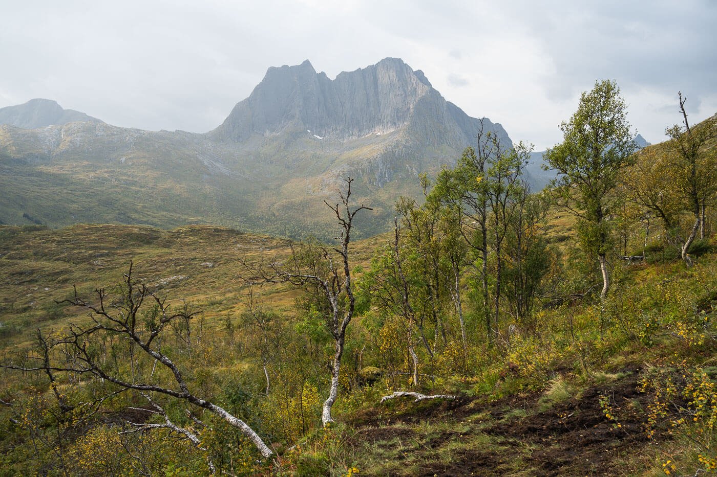
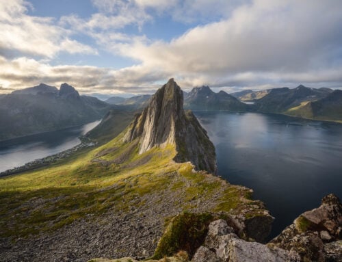
Breidtinden, from a nearby mountain.
However, while most of the trail is easily hikeable, the last few dozen meters of elevation gain do require climbing.
I also left intending to get there but had to give up just shy of 100 vertical meters from the summit. So, if you decide to try this hike, I want you to know you may have to turn around just shy of the summit.
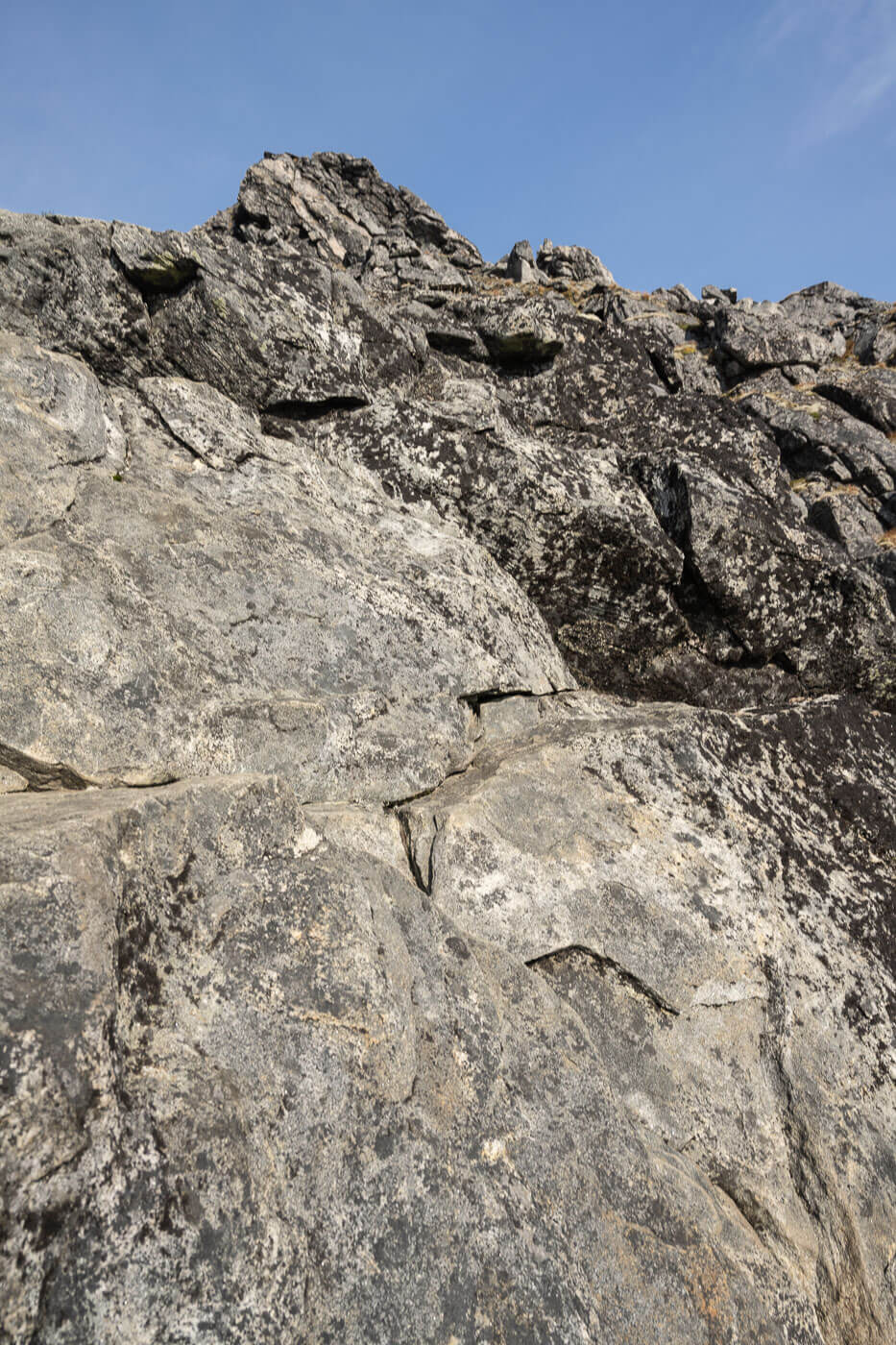
That’s where my hike ended.
However, if you have already hiked other mountains in the area, I think the hike is still worth it even if you cannot get to the summit.
It still is a challenging and rewarding hike even without the climb, and probably one of the least beaten paths in this corner of the Island of Senja. Plus, there still are nice views along the trail.

Table of Contents
Overview of the Hike to Breidtinden & Map
The hike to Breidtinden is challenging. To reach the top, you must climb an exposed ridge. Most commonly, hikers stop at the viewpoint just before the climbing section.
I attempted to climb the last bit too, but gave up at one of the most exposed sections due to strong winds.
Do note that the details below refer to where I stopped on the trail, a little less than 100 vertical meters from the summit. As I mentioned, this is likely where anyone with regular or light climbing skills may have to stop.
Besides that, the trail is mostly marked, with blue dots painted on rocks here and there.
| Max Altitude | 895 m |
|---|---|
| Distance | 7.9 KM |
| Elevation gain | 1,050 m ↑ / 1,050 m ↓ |
| Hike time | 04:30/ 05:30 Hours |
| Hike Difficulty | Hard/Climbing required |
Here is the map of the Hike. You can download the GPX file for free, should you wish to do so.
How to get to the Breidtinden trailhead and Parking
The trailhead is located along road 862, the Senja Scenic route, so it’s easily accessible if you are in the area. It’s more or less located between Fjordgård and Ersfjord.
- Driving Directions: From Fjordgård, follow directions to Gryllefjord/Senjahopen. the drive to the parking area takes about 20 minutes. Likewise, from the opposite direction (Ersfjord/Skaland) follow directions to Fjordgård until you reach the parking area along route 826.
- Parking: you can park here, on the side of the road opposite the trailhead.
- Public Transport: The closest stop is Mefjordbotn Kryss, served by line 360. Details and a timetable are on Svipper.no.

The Breidtinden trailhead parking.
The Breidtinden Hiking Trail
The trail starts along the Senja scenic route, on a relatively big parking area. It’s not easy to sport the trailhead as it is hidden behind a turn on the side of the road.
Once you’ve located the It is not always easy to see the trail between the bushes and on the big boulders, but try to locate the blue dots painted on rocks here and there.

Initially, the trail is moderately hard to follow in between bushes and boulders.
The first part is relatively slow-going and moderately steep. You’ll then reach a lake, Svartholvatnet, where you’ll find some private, summer houses on the shores of the lake.
Here the trail flattens out, before starting to gain elevation again on a gentler gradient. The views will open up to the coastline to the west. The summit will come into view also.

Huts by Svartholvatnet.
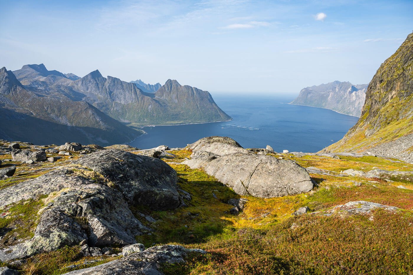
View of the coastline from the trail.
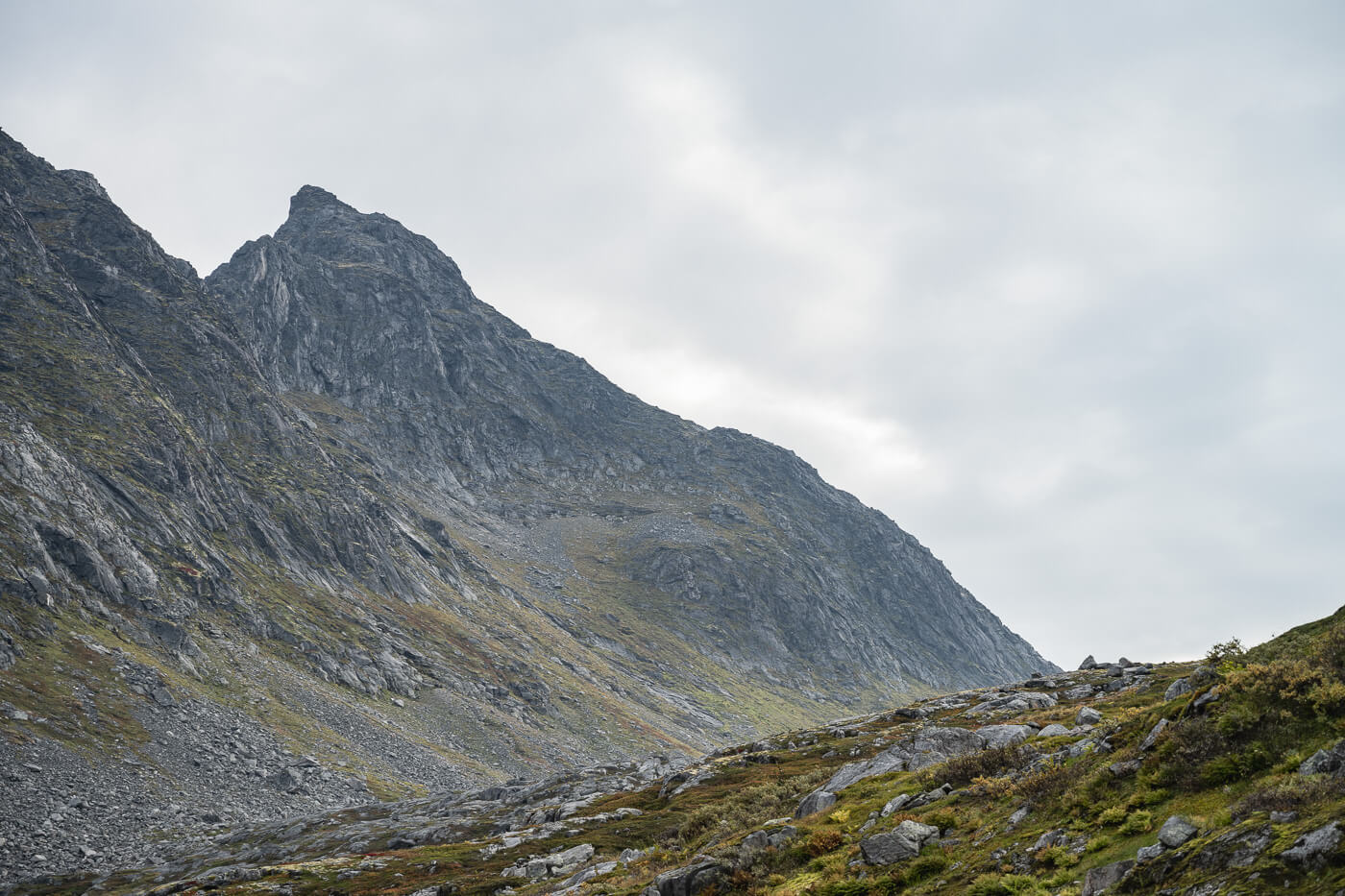
Breitinden’s summit – that pointy peak on the right-hand side.
Before getting there, you’ll pass by another small lake, Breitindvatnet. Here is where the trail gets steep again, and progressively steeper until you reach the ridge where the climb starts.
The last part of the trail leading to the ridge is already moderately exposed and requires some minor scrambling.
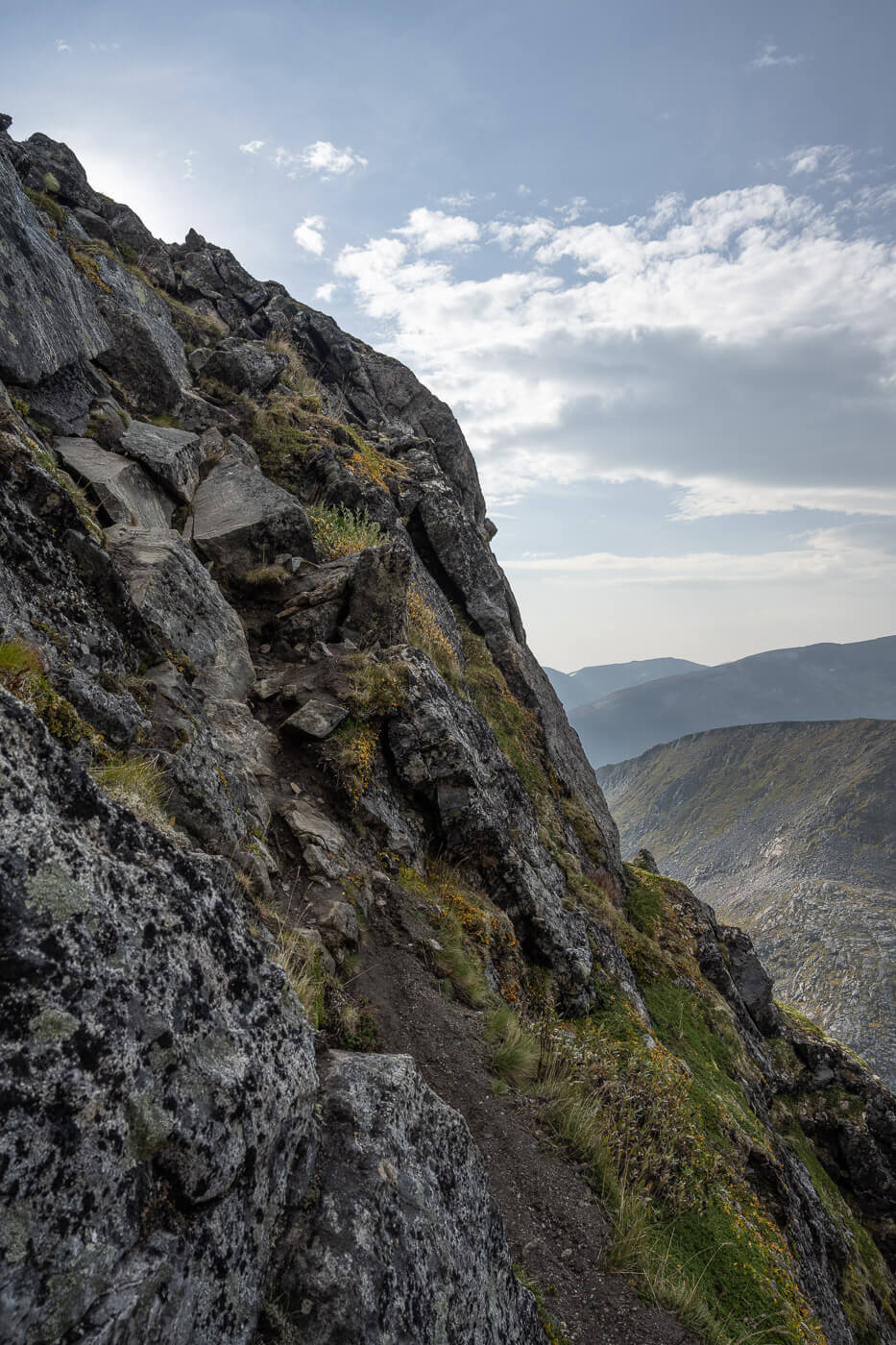
The last part of the trail before the climbing section is rather steep and already requires scrambling.
You’ll find a relatively wide and flat area at the top of this steep, scrambling section. The other side offers great views of the landscape, too.
Here’s also where the climbing section starts. Initially, it does not look too bad. There are some signs pointing the way, but you do need to consider which route to take carefully.
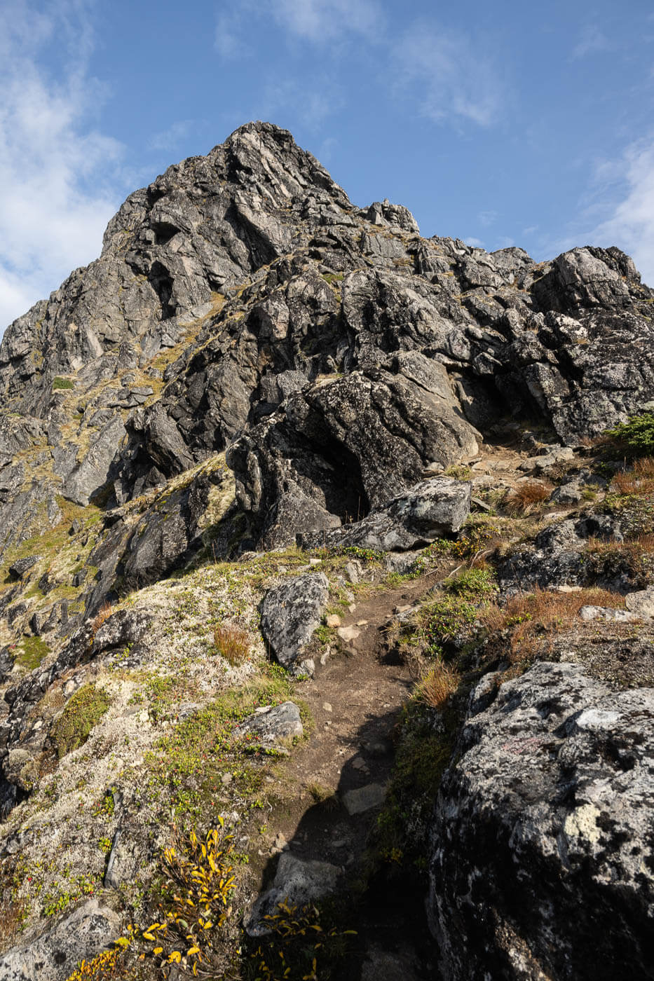
The climbing section initially does not look too difficult.

You’ll find signs here and there pointing to the best climbing route
However, the climb progressively gets more difficult. So much so that I decided to turn back when reaching an almost vertical, exposed, rock face that offered few contact points.
A mistake there would have meant falling off the eastern side of the mountain – something I wasn’t particularly keen on doing. So I just went back to the flat area at the beginning of the climb, to have a snack, and drink some coffee from the thermos, while enjoying the view before heading back down.

View from the ridge where the climb starts.
Breidtinden Photos and Photography Tips
Admittedly, the best views om this hike would be from Breidtinden’s summit if you can make it there. As the highest mountain around, it offers spectacular 360-degree views. That’s at least what I would have hoped for, looking at the few photos available online.
To be perfectly honest, I am not sure the hike to Breidtinden is worth it purely in terms of Landscape photography if you cannot get to the top of the mountain.
I am saying this mainly because of the many other scenic points nearby, like Hesten, Keipen and Grytetippen, Barden, Segla, and Hustinden, to name just a few. For first-time visitors, it’s best to focus on those first.
On the other hand, if you have a drone and are close enough to the summit to fly it there, then you could get some aerials. And while I had a drone on this trip, I promptly left it in the van I was renting.
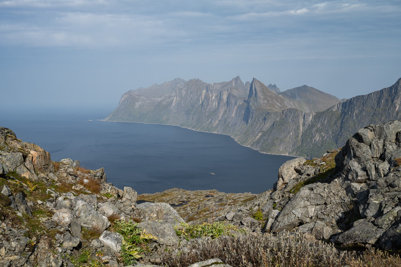
Having said that, I think the best and most scenic views on this trail are right above Svartholvatnet. This is where you have the best views of the Fjord and the jagged mountains around it.
Good for sunset, as most hikes on the Island of Senja. Also, great views just below the last climbing section.
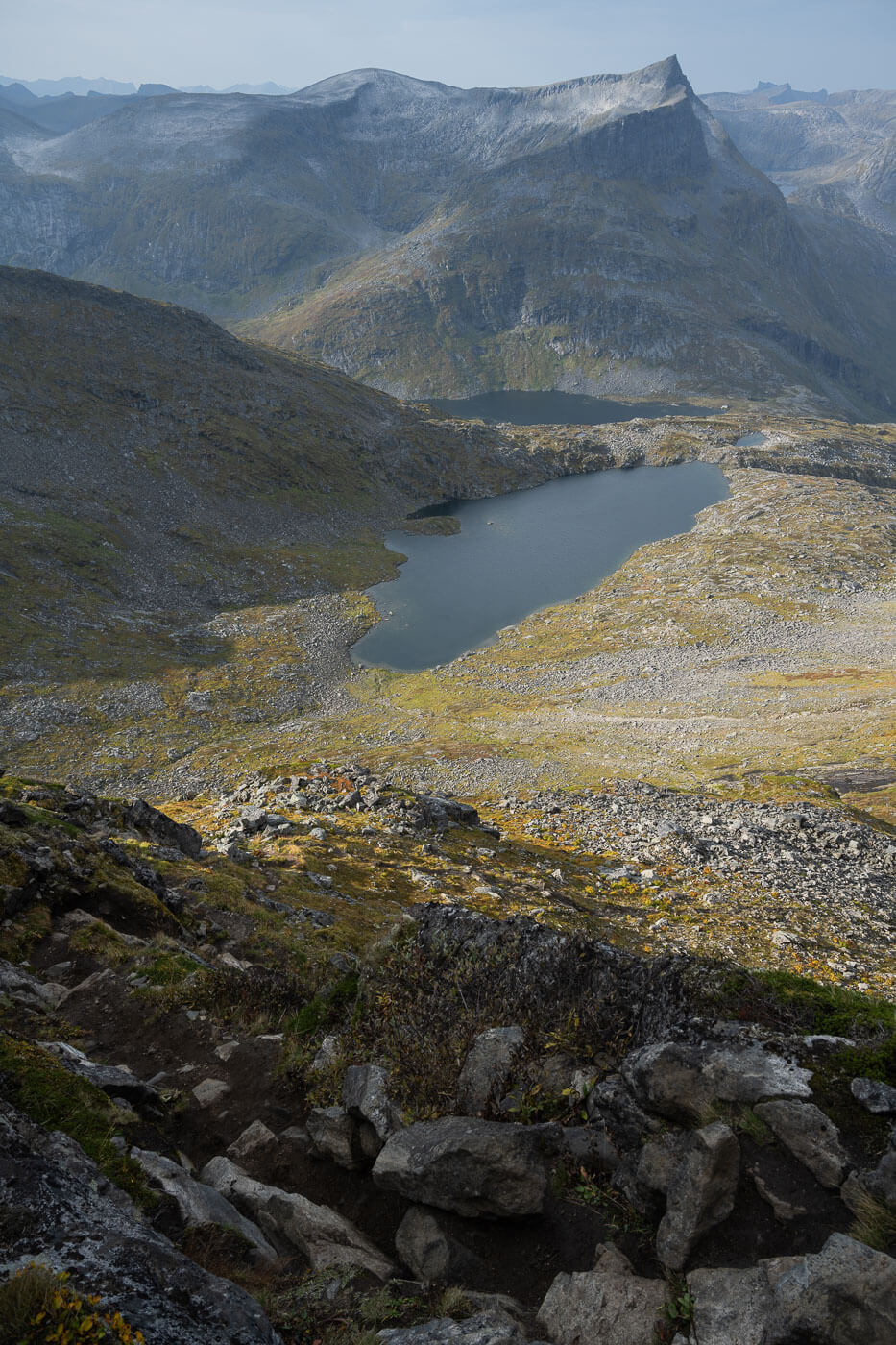
View above Breidtindvatned


From the area close to Svartholvatnet, you have some of the beast views of the coastline and the fjord of the whole hike

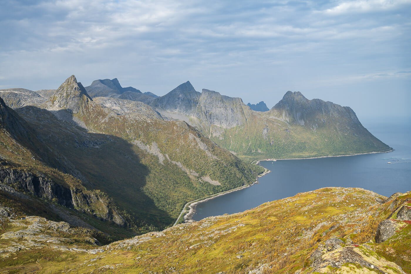

Where to stay
The closest village is Senjahopen, about 10 KM away.
If you are in a Van or a Camper, you could technically spend the night in the parking area by the trailhead. Otherwise, the Ersfjord rest area by the beautiful Ersfjord beach is just a short drive away.
Additional Resources
- Here’s my full Senja Hiking guide, with the best hikes in the region and trip-planning tips.
- You can check the main page on Hiking in Norway for more hikes (with maps).


Leave A Comment