
Mirador Cuernos and Salto Grande Waterfall Hike, Patagonia, Chile
The relatively short and easy hike to the Mirador Cuernos is one of the most popular short hikes and photo spots in the Torres Del Paine National Park. Apart from Mirador Cuernos, you pass by Mirador Salto Grande and a popular landscape photography beach on the shores of Lake Nordenskjöld.
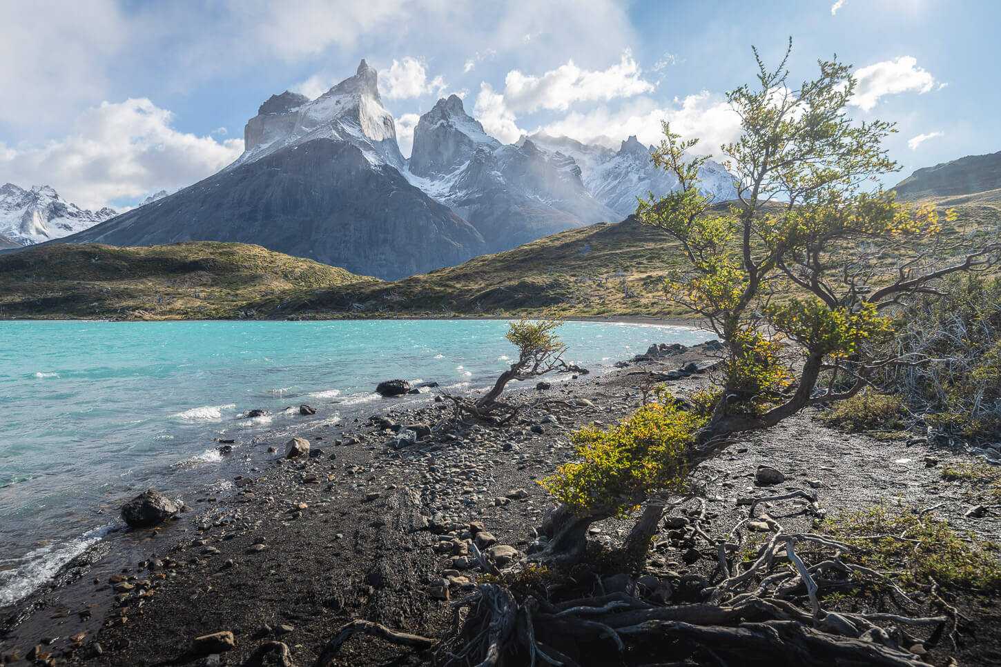
Trees on the beach along the shore of Lake Nordenskjöld.
At just about 6.5 km out-and-back (4 miles), it offers the best, up-close views of the Cuernos group in the whole Park. It’s an easy hike that can be done in less than a couple of hours, so you can easily combine it with others in the area.
| Mirador Cuernos & Salto Grande Hike: Quick Overview |
| • Distance: 6.42 km / 3.98 mi (Out & Back) | Time: 1.5–2 Hours | Difficulty: Easy | Trail: Salto Grande Parking/Estancia Pudeto to Mirador Cuernos |
| • Start & Access: Salto Grande Parking Area (Torres del Paine National Park) |
| • Best Season & Light: October to April / Morning or Late Afternoon (Golden light on Cuernos del Paine and Lake Nordenskjöld) |
It’s also well worth the time it takes with multiple interest points. The Salto Grande Waterfall, the little beach mentioned above, and of course, the up-close view of the massive “Cuernos” from the Mirador.
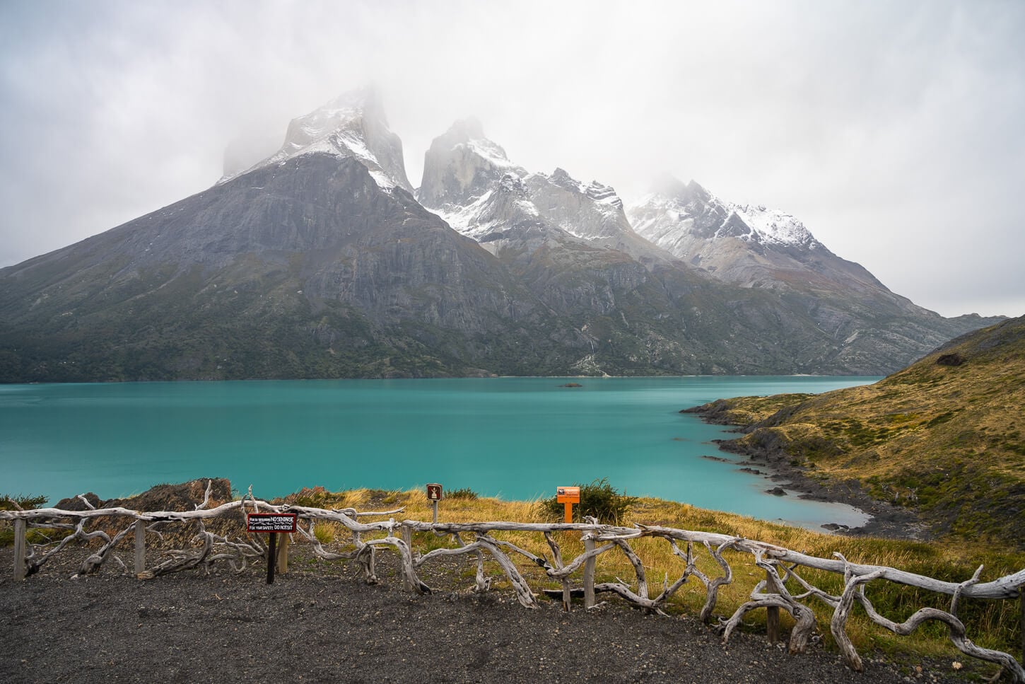
View from Mirador Cuernos.
Table of Contents
Overview of the Mirador Cuernos and Salto Grande Waterfall Hike, Map & GPX File
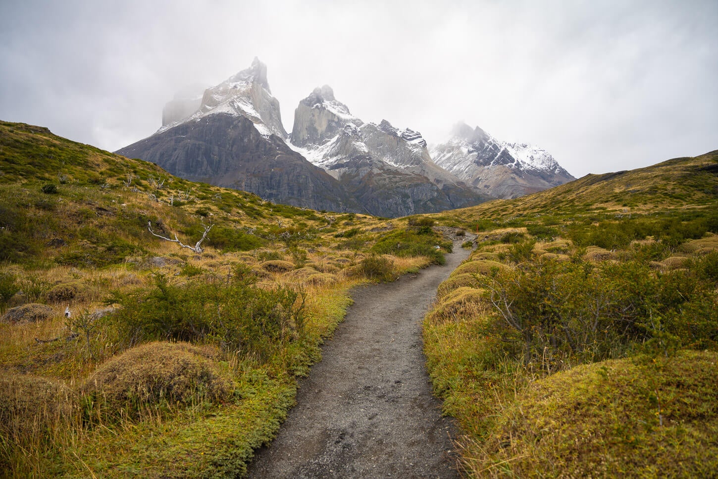
The hike to the Cuernos viewpoint is a rather short and easy one that could easily be combined with others on the same day. For instance, Mirador Condor or Mirador Ferrier. The path to the main viewpoint is wide, well marked, and easy to follow, with little overall elevation gain.
A few quick notes:
- As with pretty much all the trails in the Torres del Paine National Park, there are opening and closing times, outside of which it is not allowed to enter the trail. Typically, it opens around 8 AM, and the cutoff time is at 5 PM for Mirador Cuernos and 6 PM for Salto Grande.
- The trail may be closed when the winds are too strong for people to be on it. That happened to me once, too, and rangers would hike the trail to warn people about the closure and hike everyone back.
- No straying off marked paths allowed, for flora & environmental protection.
And, as with all the other hikes in Torres del Paine, you need to purchase the access ticket to the park.
Here are the full details of the hike. You can download the GPX file for free from the activity linked below.
| Max Altitude | 111 m / 364 ft |
| Distance | 6.42 km / 3.98 miles (Out & Back) |
| Elevation Gain | 150 m ↑ / 150 m ↓ (492 ft) |
| Hike Duration | 1.5 – 2.0 hours |
| Hike Difficulty | Easy. Wide, well-marked path with minimal elevation, but exposed to strong Patagonian winds |
| Trailhead Coordinates | Salto Grande Parking/Estancia Pudeto (-51.0650° S,-72.9973° W) |
| Required Gear | Windproof jacket, comfortable walking shoes, Torres del Paine park pass |
| GPS Track | Download Mirador Cuernos GPX Track |
Here is the map of the hike.
How to get to the Mirador Cuernos Trailhead and Parking
The trailhead is accessible from Estancia Pudeto, the area where the Pudeto catamaran leaves from. It’s easily accessible as it is located along Road Y-150 that crosses the Torres del Paine National Park
- Driving Directions: From Puerto Natales, it’s best to drive to the Park via Road 9, then take Road Y-150 and enter via Laguna Amarga. Keep following the road until you arrive at the junction that leads to Estancia Pudeto. If you are entering from the other side of the park, i.e., Rio Serrano, you would also need to drive Road Y-150 across the park from the opposite direction until reaching the same junction to Estancia Pudeto.
- Parking: Parking is available either by the trailhead or by Estancia Pudeto. When arriving by car, you will first pass by Estancia Pudeto. However, it’s worth driving up to the upper parking area to see if there is a free spot there. If not, you can drive back and park at Estancia Pudeto and walk from there. That, however, adds about one kilometer each way to the hike.
- Public Transport: You can get to Estancia Pudeto using transport services like Bus Sur. There are also other companies stopping there, as it is a serviced area, due to it being the access point to Paine Grande and a start/end point of the treks.
The Mirador Cuernos Hiking Trail
From the main parking area at the end of the road, the trail starts as a wide gravel path that looks more like an old road. And it probably was once. As you approach the entrance, you can’t help but notice the big colorful board.
It’s the “Wind Meter” Park Rangers use to notify visitors about possible dangers.
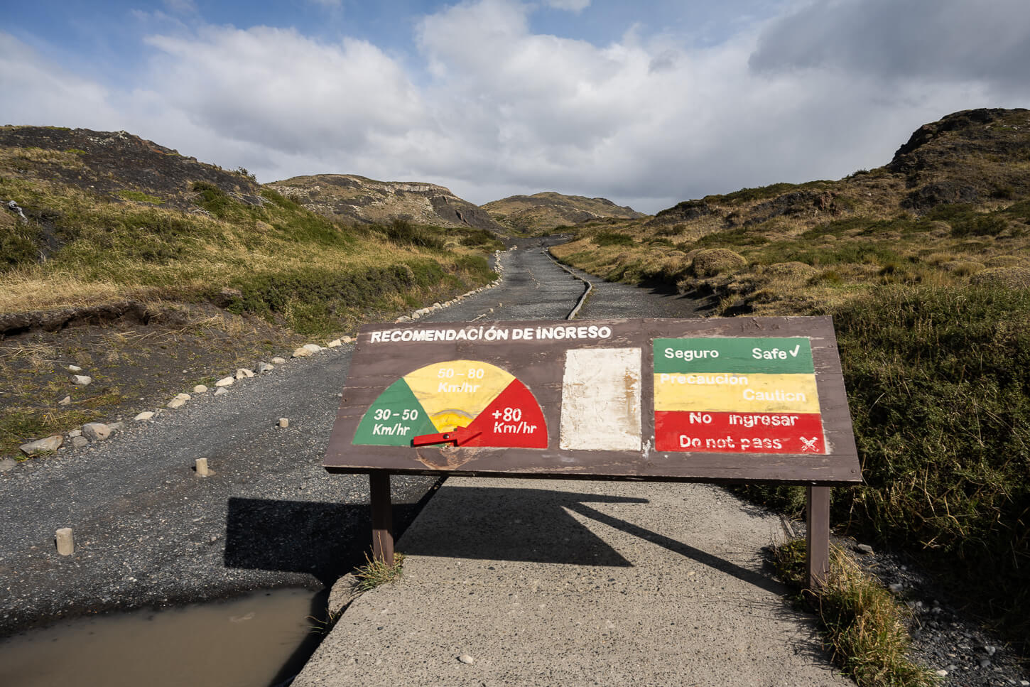
The Trailhead, with its “Wind Speed Gauge” and Safety meter.
Green, no problem, go ahead. If it is in the yellow area, it’s not out of the realm of possibilities that the trail may get closed while you are on it if the wind speed increases. That happened to me too, as I mentioned above. More than that, it means the conditions will be hazardous. Wind gusts could really throw someone to the ground, or send objects dangerously flying around.
The trail, however, is scenic right from the start, with the views of the “Cuernos” group to your right.
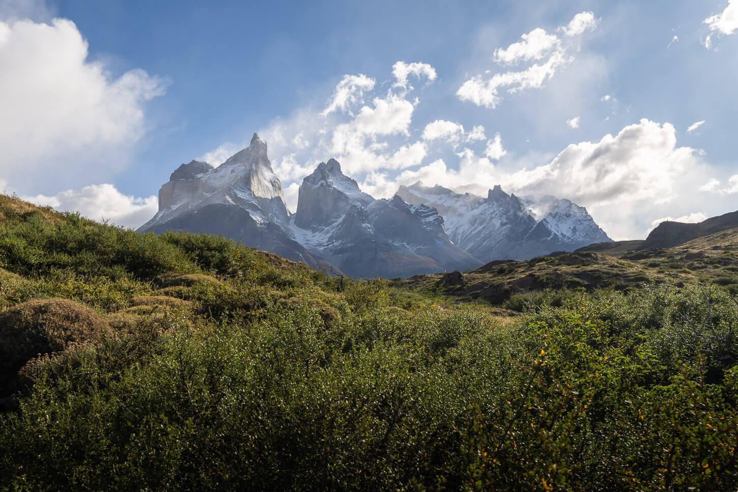
Right from the start you have scenic views of the Cuernos Group
Mirador Salto Grande
Past the entrance, it’s only a short walk to reach the first viewpoint on this trail, the Salto Grande waterfall viewpoint. Nowadays, a viewing platform has been built above the waterfall, so you may see older videos where people walk right up to it, but that is no longer allowed.
However, you get a very good view of the waterfall from the viewing platform, especially from the left side. The lower platform does not offer much of a view, as you are almost on top of the waterfall
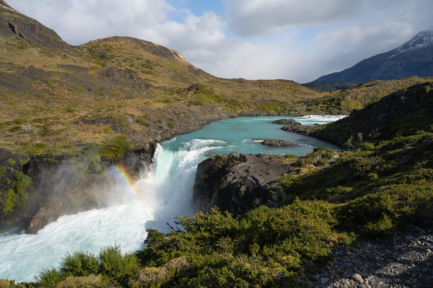
Salto Grande from the better viewpoint, on the left side of the viewing platform.
From the waterfall, the trail narrows and continues toward the next scenic location, a small beach on the shores of Lake Nordenskjöld, which I consider to be the most scenic spot on the trail. It’s about 1.5km or about a mile up the trail from the waterfall.
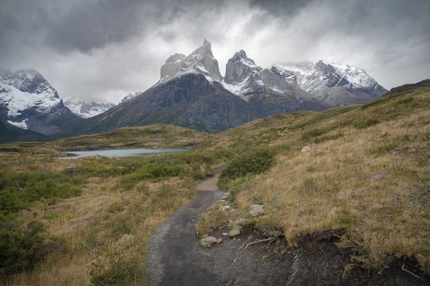
Lago Nordenskjöld Beach viewpoint
This little black sand beach is extremely scenic as it offers good views of the Paine Massif and the Los Cuernos group. I spent the most time taking photos. There are plenty of foreground options, between trees, branches, and rock formations. And, when it’s windy, you’ll see waves that will make you forget it’s a small lake.
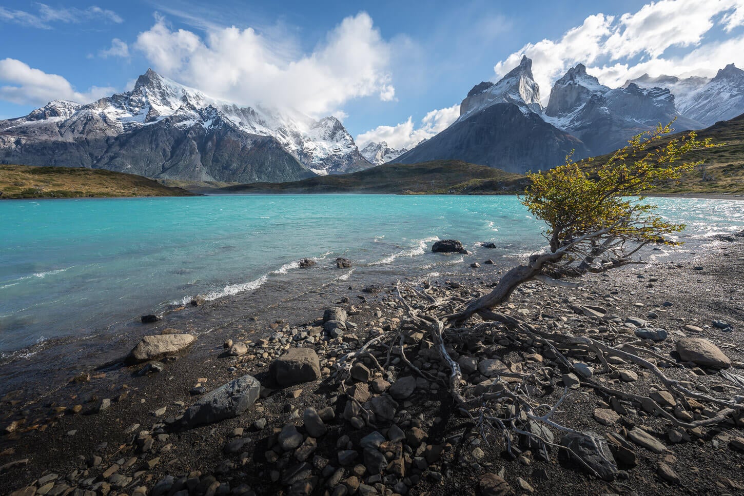
While the beach is very scenic, realistically, anyone into landscape photography will spend more time here looking at dead tree branches and stuff like “leading lines” more than any other visitor. Likewise, I think it’s fair to say the beach is the most scenic spot for landscape photography on this trail.
Yet, it’s also a kind of peaceful place to simply enjoy the views, which is all about it in the first place.
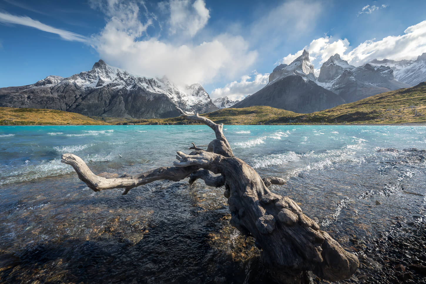
Mirador Cuernos
From the beach, the last stretch of the trail continues toward the endpoint of the hike, Mirador Cuernos. Here the trail gradually gains elevation as you approach the Mirador. It will appear all of a sudden right in front of you, right after the last turn. It’s a relatively small opening, fenced on all sides, and in an elevated position compared to the lake.
And you will be face to face with the impressive Cuernos, right in front of you on the opposite side of the lake. A mighty sight. From the Mirador Cuernos, you can only backtrack to the starting point, but at least you will pass again by both the beach and the Salto Grande waterfall.
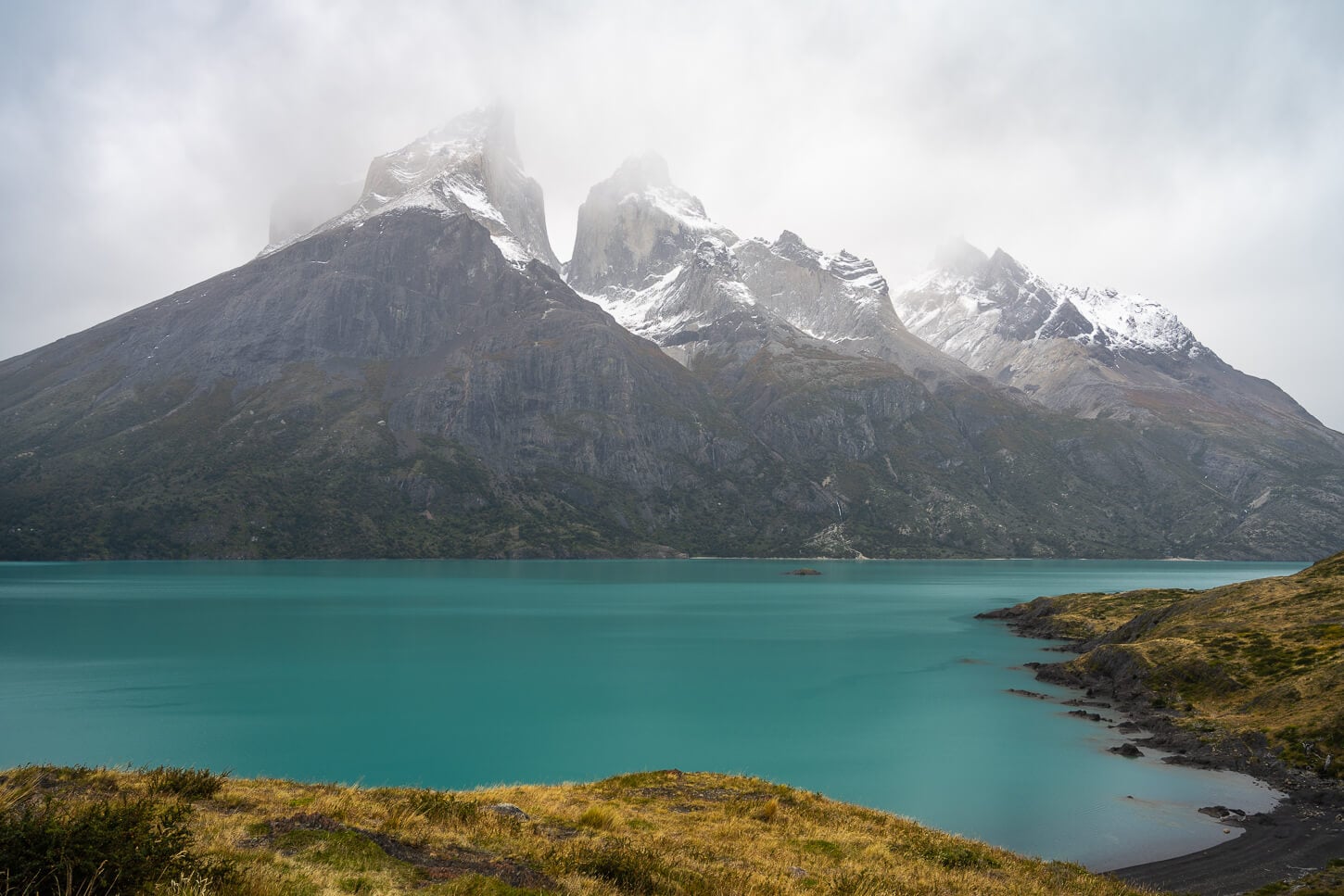
Mirador Cuernos Trail Photos and Photography Tips
Arguably, that is the little beach along the shores of Lake Nordenskjöld. It’s a prime landscape photography spot, and for good reasons. First of all, the epic Cuernos in the background. With the beach, it offers a great mid and foreground to complement the image with.
You can easily find interesting foreground on the beach, be it a log, a tree, or a rock formation. There is no shortage of those. Then the leading lines of the beach can drive the eye toward the background and keep it in the image.
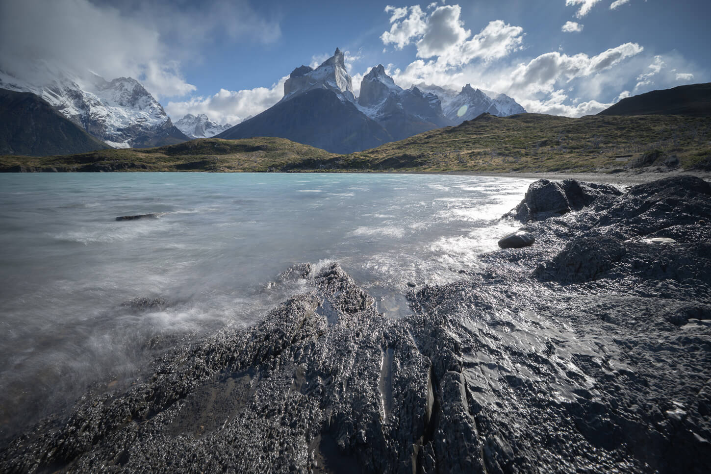
Trees on the beach make for some interesting foreground.
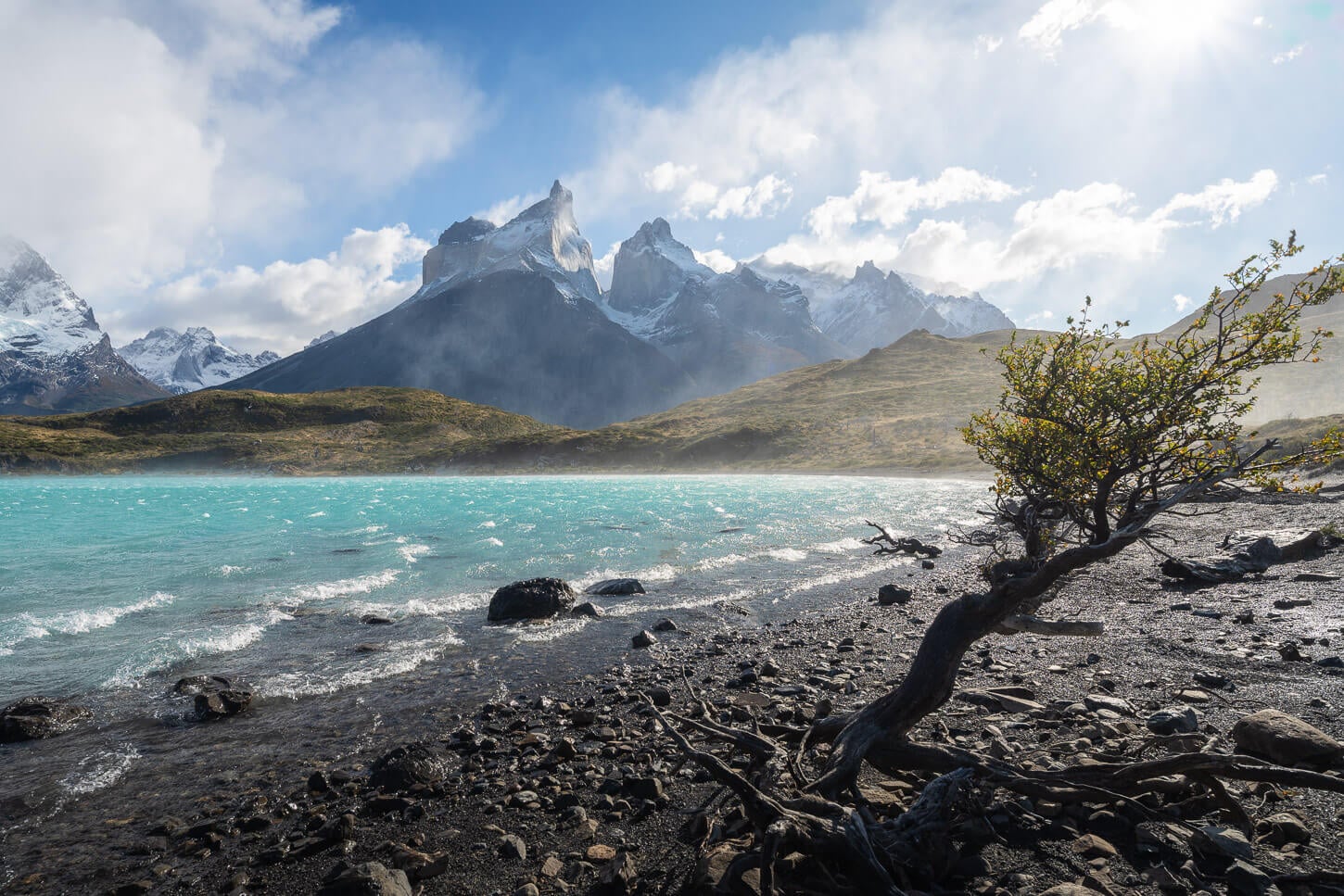
That’s the basics. Then on top of it, whatever the elements are doing. The brutal Patagonia wind can often agitate the waters and create bigger or smaller waves in the lake. Likewise, the ever-changing Patagonia skies can bring different lighting in a short period of time.
There’s not a particular spot on the beach itself, and that’s the fun of it. You can walk on it and find compositions that arrange and rearrange the elements in different ways almost endlessly. It’s one of those places that it’s easy to lose track of time at while shooting.
A note on sunrise, since there are many images of this beach at sunrise; as mentioned earlier, the trail has an opening and closing time. That means sunrise may be possible only at certain times of the year and not others.
Lenses for the Mirador Cuernos Hike
For such a short trail, I’d recommend bringing the widest range of focal lenses available. Apart from an ultra-wide lens for the small beach – all the photos in the previous section were taken with a 14-24mm lens – it’s worth bringing longer ranges. You can really close in on the details of each peak and perhaps the occasional wildlife.
The photos below were taken with a 100-400mm lens, between 200 and 400mm, for example.
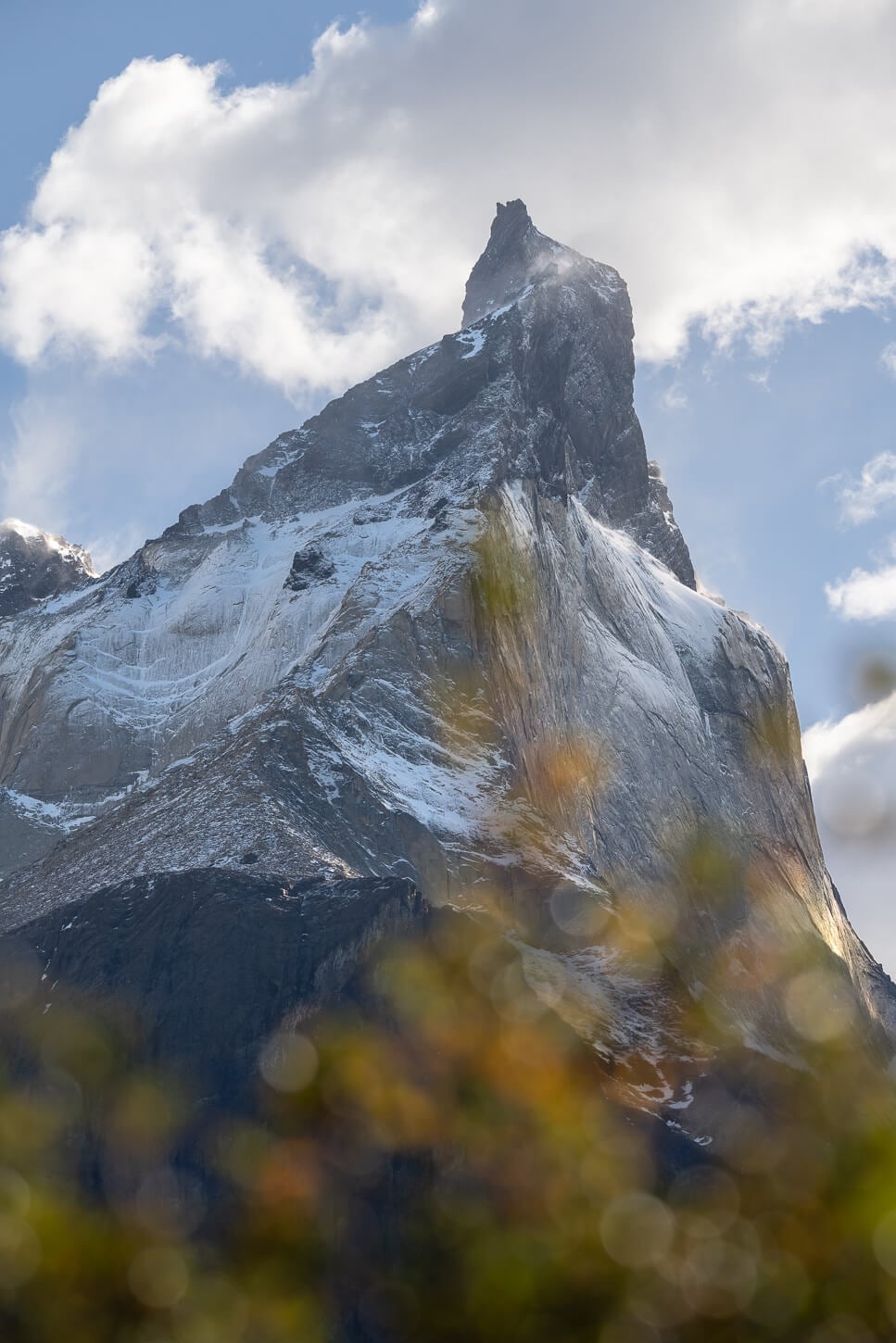
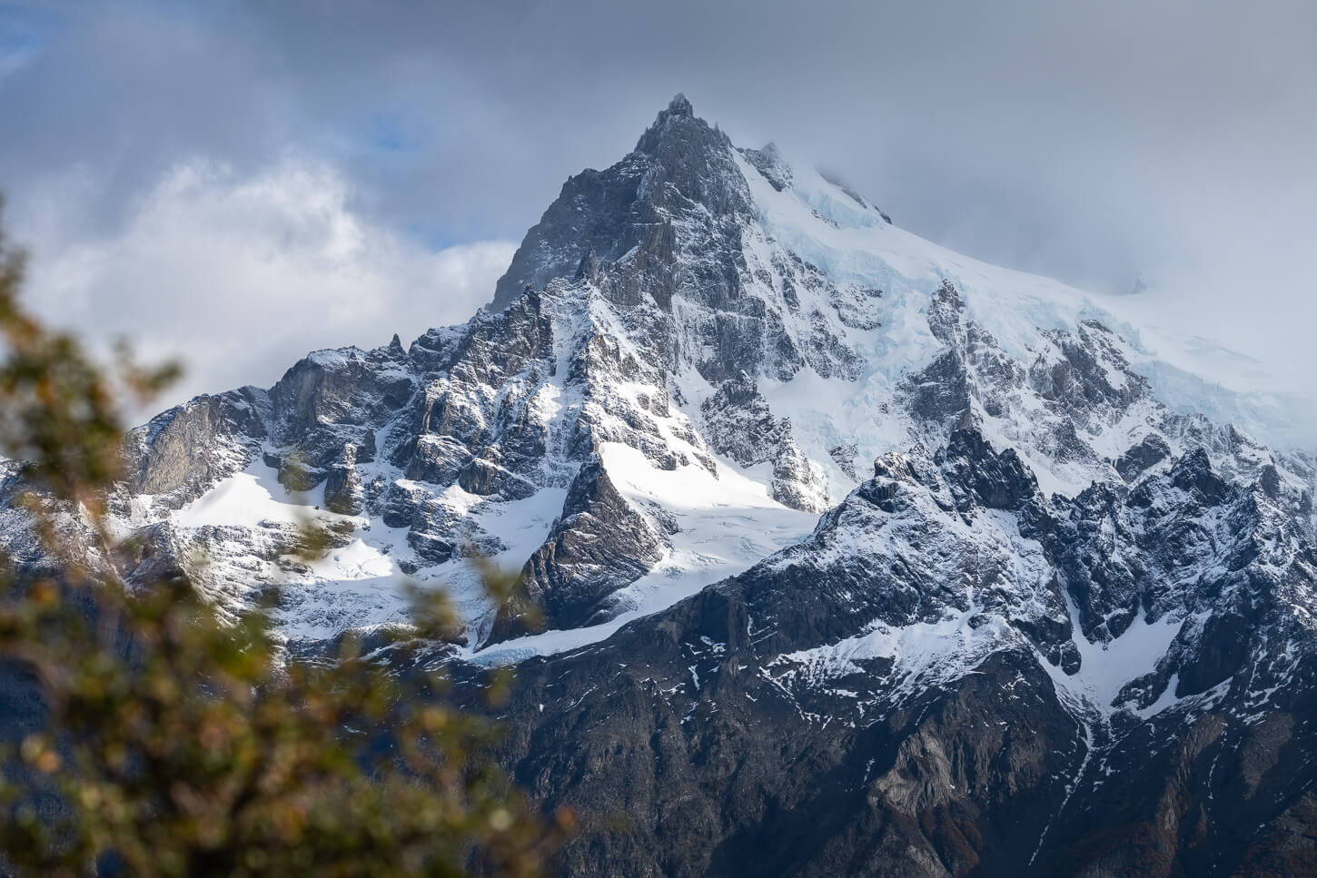
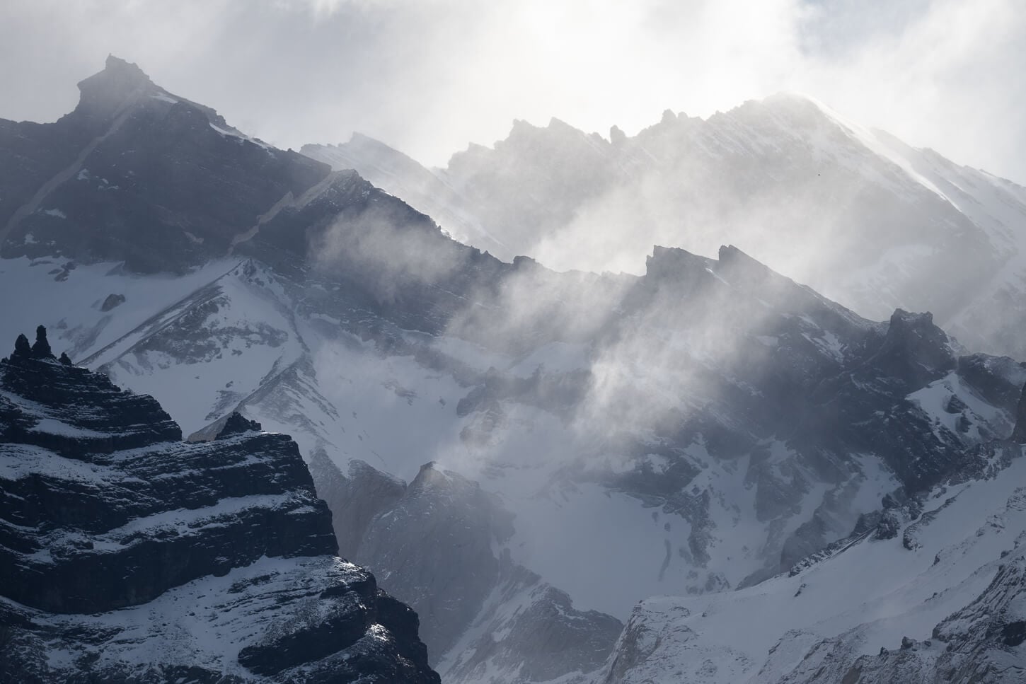
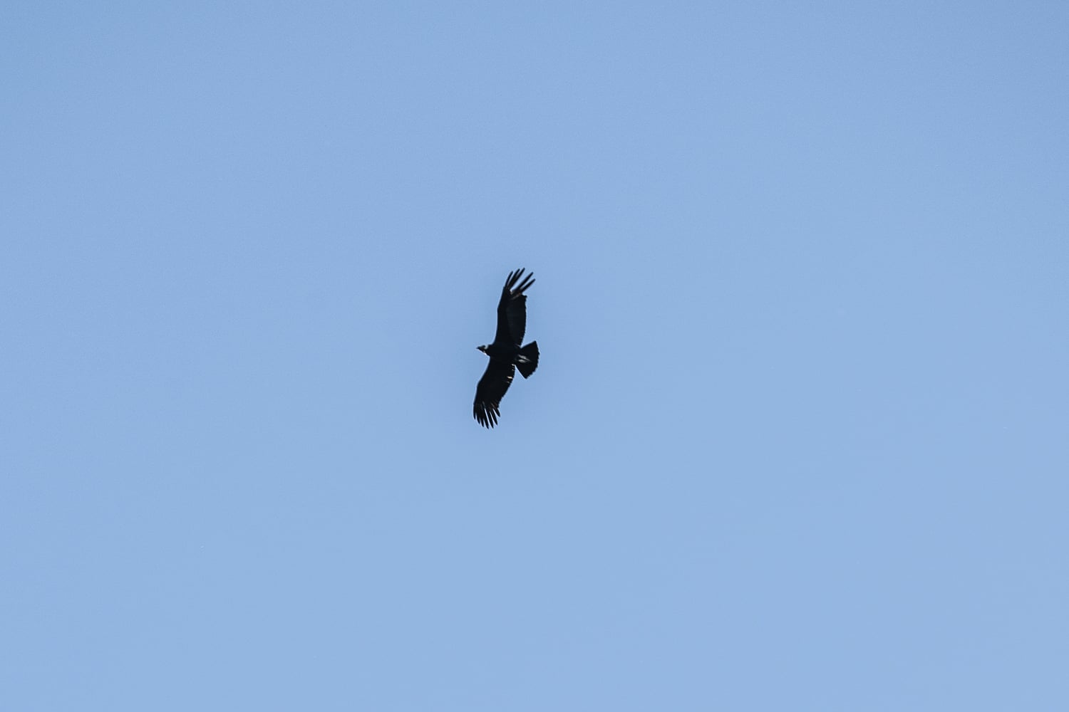
Andean Condor. Yes, I know, wildlife is not one of my skills :)
Where to Stay
Within the park, the closest accommodation is Hostería Pehoé. A very scenic location and quite central in the park. Camping Pehoé is also not too far down the road, just about 5 minutes by car.
Within the park, accommodations tend to be expensive. The Rio Serrano area tends to have some of the more affordable options. Otherwise, Puerto Natales is the closest town at about a 2-hour drive.
Additional Resources
- Here is also my Torres del Paine Hiking and Photography guide, a useful read if you are planning a trip to TDP.
- For more hikes and photo locations in Chile, check out the main Hiking in Chile page.
- This hike can easily be paired with the Mirador Cóndor trail, next to Hostería Pehoé

Leave A Comment