Hiking in Argentina: From La Pampa to the End of the World
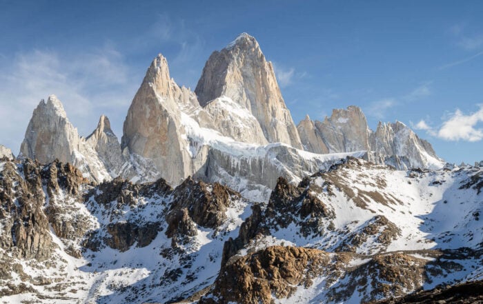
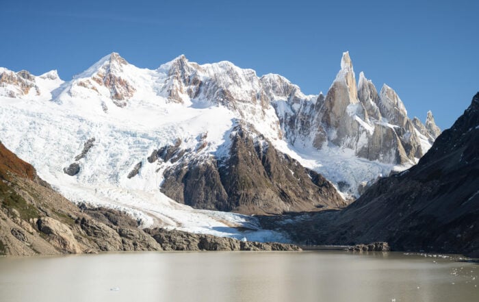
Argentina has, in a way, a kind of mythological status both in terms of Hiking and Landscape photography. It’s home to some of the most beautiful mountains in the world, like the Fitz Roy and the Cerro Torre. And Tierra del Fuego, the Lake District, and the high-altitude deserts of the Northwest.
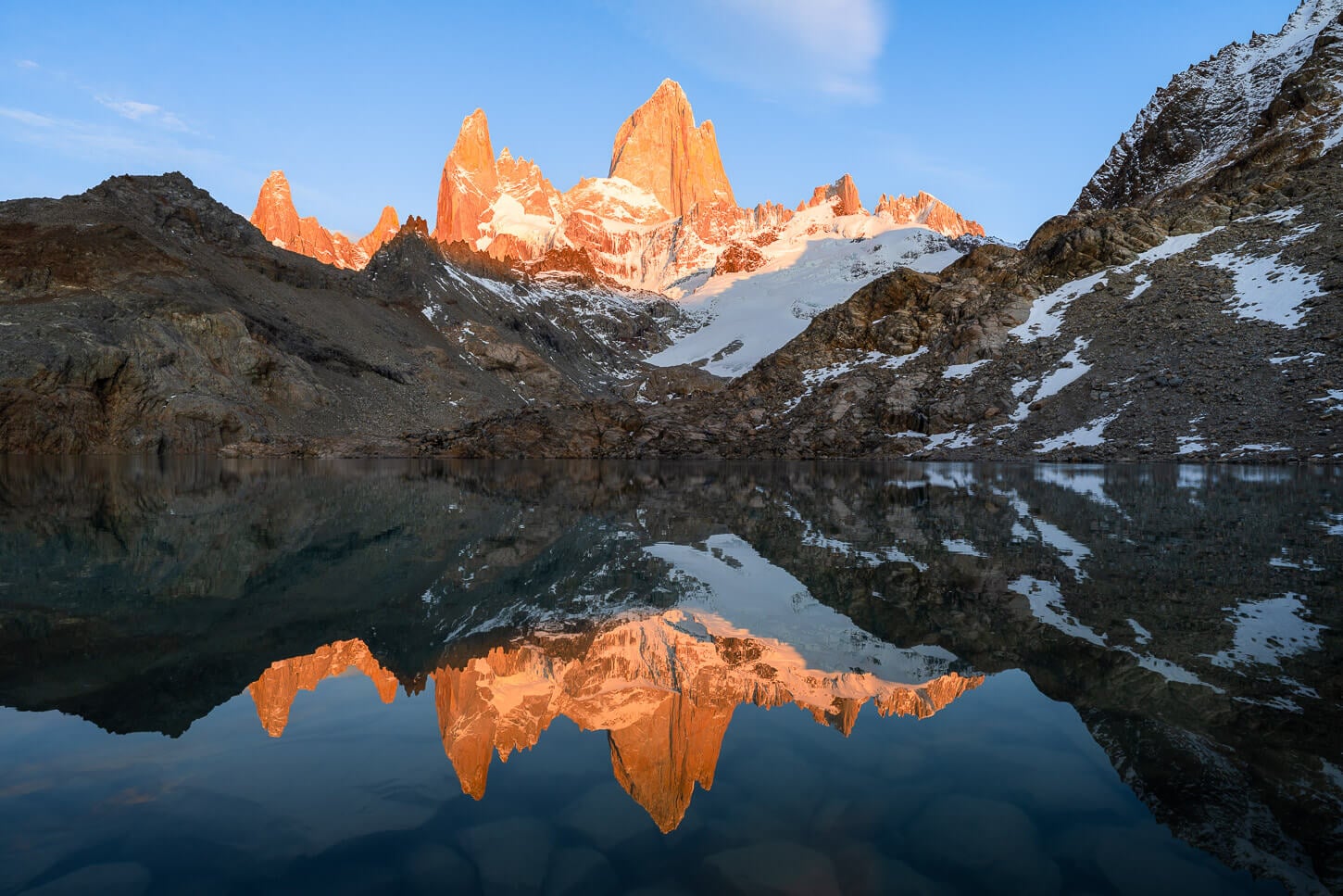
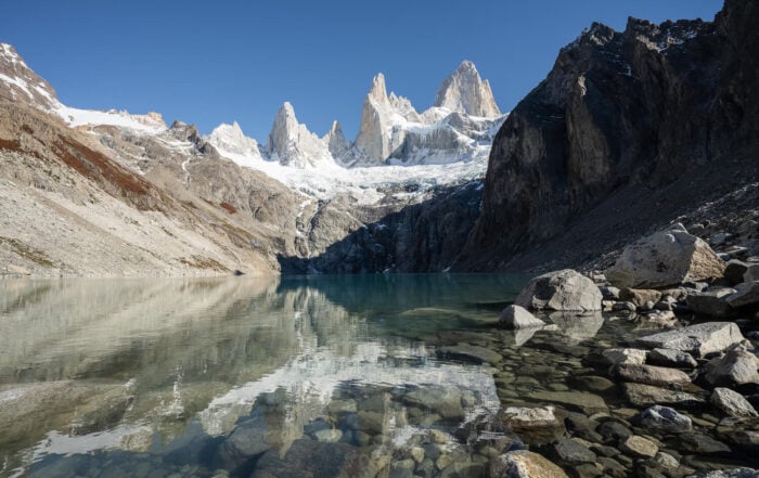
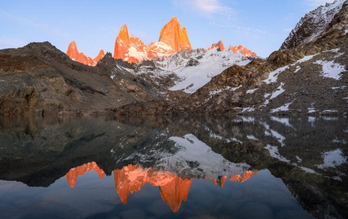
Mount Fitz Roy and Laguna de los Tres, Patagonia.
It’s a large country with varied landscapes. It shares many of its borders with Chile, with which it also shares the Patagonia region. Actually, 90% of Patagonia is in Argentina. From the deserts in the north to the fjords and glaciers in the south, Argentina has no shortage of beautiful, world-famous and lesser-known locations to explore.
Like Chile, It’s a country I’ve just started to explore, but one that will keep me busy in the coming years too. Los Glaciares in Patagonia, with views like Perito Moreno, Fitz Roy and Cerro Torre, is a great place to start for a first visit for both hiking and Landscape photography.
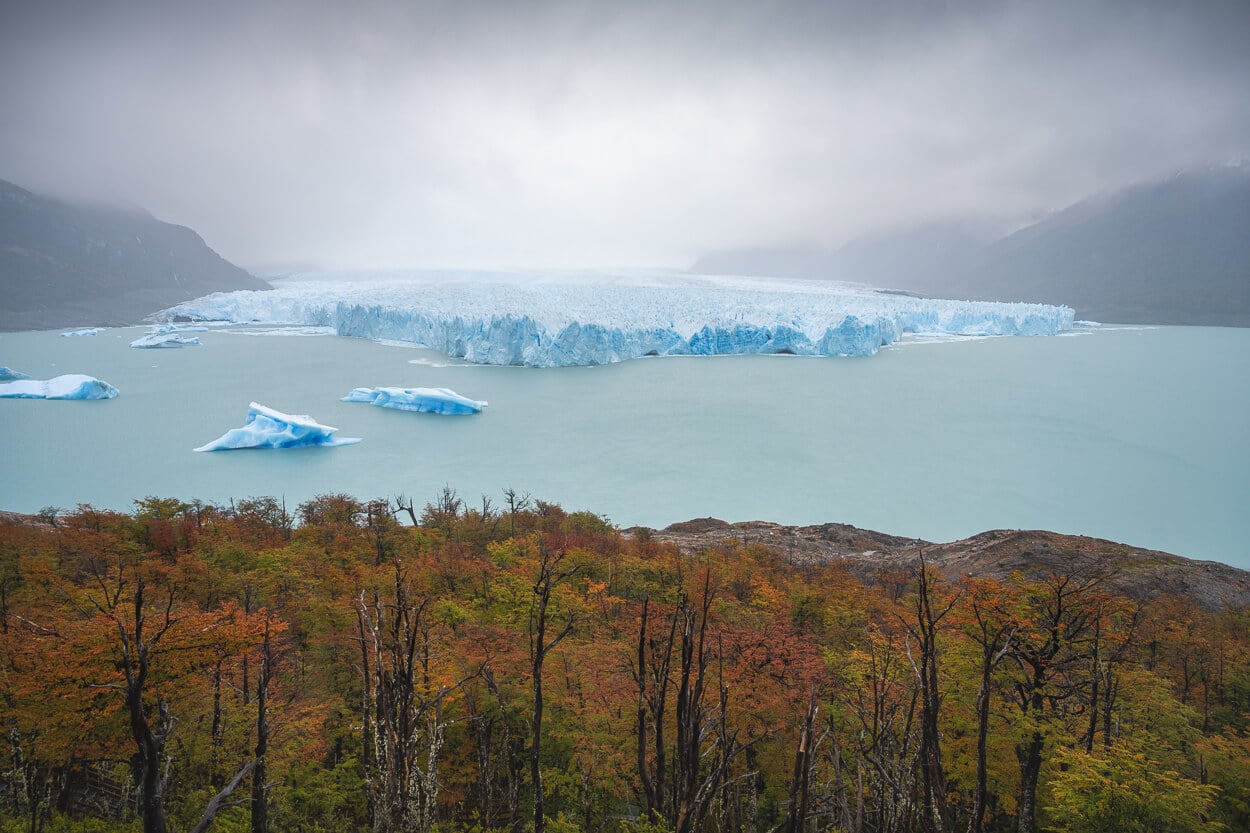
Perito Moreno.
The Best Hikes and Photo Locations in Argentina
At the moment, I have just started exploring the region. So locations are currently limited to one region, and more will come in the coming years. Right now, I am focusing on Southern Patagonia / Los Glaciares. In 2027, I’ll add Northern Patagonia, and in 2028, Ushuaia and Tierra del Fuego, before moving to the regions in the North.
As I explore more, I will update this page accordingly. In the meantime, here is the map linking the individual hikes page of the locations I have visited. Each pin on the map links directly to the detailed guide of that specific location, so you can use the map to dig into the details of each spot or trail.
Practical planning basics
Argentina is actually the 8th largest country in the world, with a length of 3,600 km and a total area of approximately 2.78 million km². Driving from the Northernmost to the southernmost point in Argentina will take approximately 60 hours of pure, non-stop driving for 5,100 to 5,400 kilometers (3,150 to 3,350 miles).
With it being such a large country, it is better to focus on 1-2 neighboring regions rather than trying to cover as much as possible in one go. Unless you have several weeks available to do so, of course. Driving will take longer than expected too, especially on the more remote gravel roads.
That is also how I am planning to explore Argentina in the coming years, one region at a time. And revisiting some regions in the process too.
With that, there are a few criticalities to keep in mind when planning a trip to Argentina
- Gas stations: remote pumps may occasionally run out of fuel. Better to keep the tank topped up and not rely on filling up on the way. You may get stuck waiting for the next truck.
- Car Permits: If you plan to combine Argentina with Chile, or any other country, driving a rental car, make sure you request the permit to drive the car abroad (more on this below).
- National Parks: do require a pass or permit to be purchased; you can usually do this only and print a copy out to bring with you, or take a screenshot. This is because internet coverage may be spotty or completely missing in places. You can only purchase park tickets on the official website (Park Admission Tickets) or on site. Again, the more remote areas may not have internet connection, so it’s best to bring cash too if you are planning to purchase the ticket on site. And, in some cases, you may be required to check in and check out at the trailhead.
- Payments & Cash: In most cases, you can pay by card, but if you are planning to visit the more remote areas, it’s best to have some cash with you. Or, in some cases, USD may also be accepted. If you pay by card, use Visa/Mastercard and select ARS at the terminal. It uses the favorable MEP rate and avoids debit cards at ATMs. Low limits and high fees.
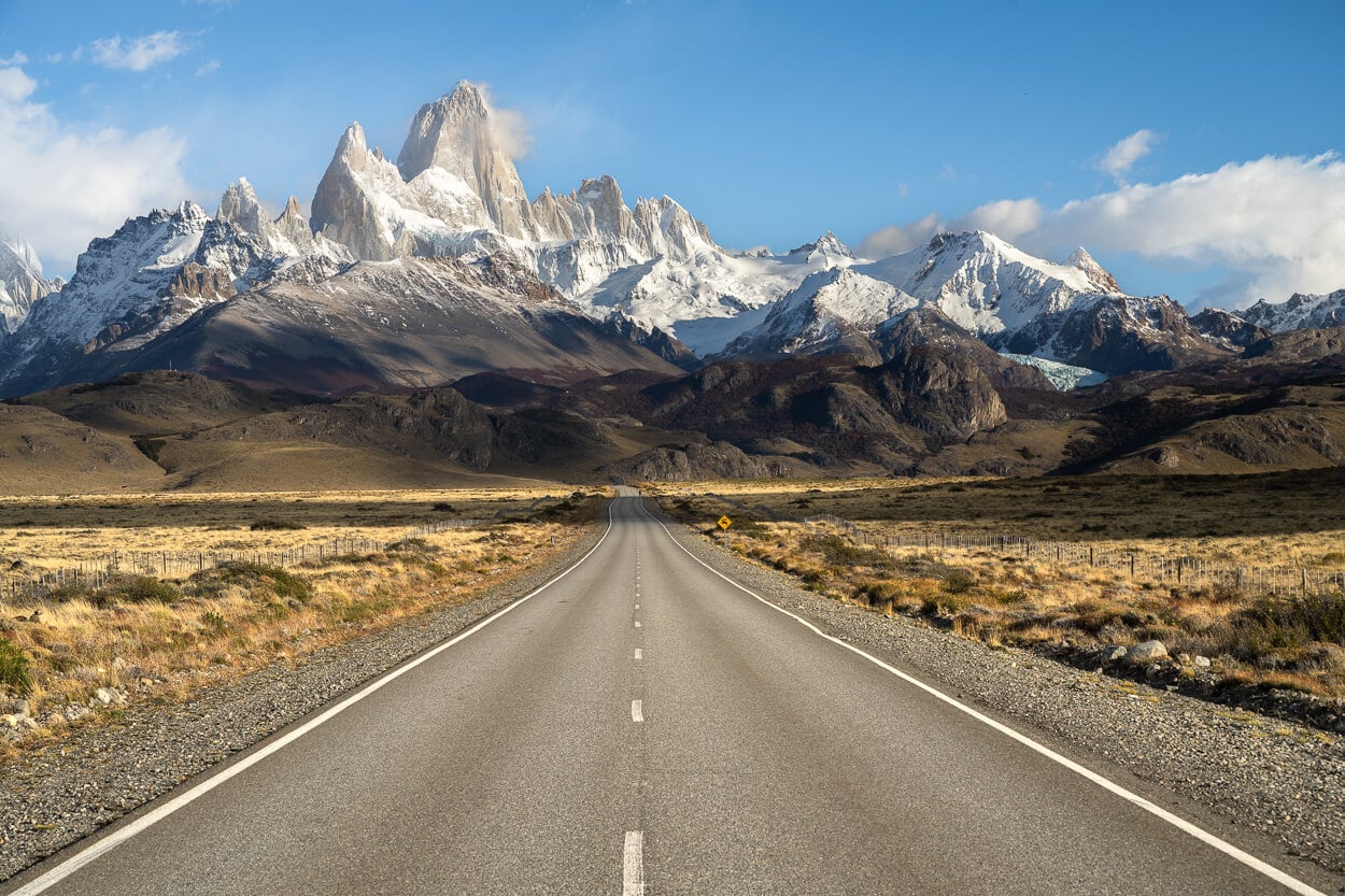
Argentina – Best Regions to Cover for Hiking and Landscape Photography & When to Go
When to go heavily depends on the region. With Argentina being such a big country, there are substantial differences on the north/south axis. Generally speaking, if you live in the Northern Hemisphere and are itching to go hiking somewhere during the winter, Patagonia and especially El Chaltén and Los Glaciares National Park would be a top candidate for a first-time visitor. December to February/March is the Southern Hemisphere Summer.
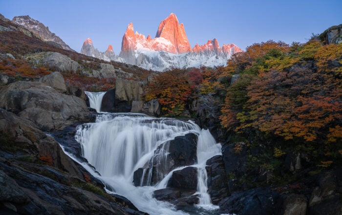
However, one tip: if you are doing this for landscape photography, you should definitely consider autumn as the best season to go to Patagonia. In early-mid April, the colors can be out of this world beautiful.
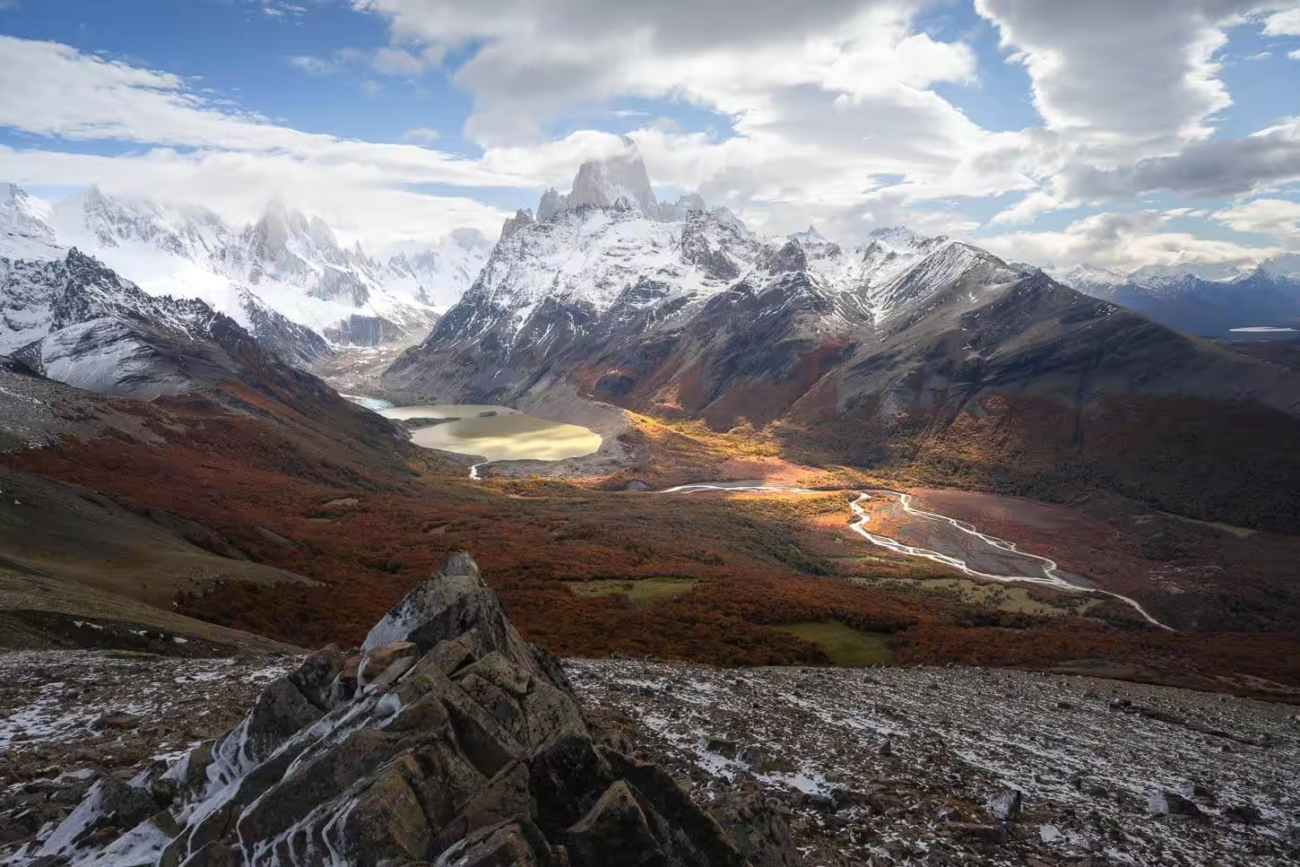
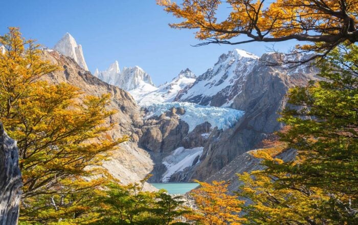
View from the Loma del Pliegue Tumbado, Patagonia. Autumn is a season rich in vibrant colors.
Here is a more detailed overview of different regions and what to expect. It’s based on the same regions I will add to the website in the coming years:
- Northwest: Salta and Jujuy Regions
- It’s a country of high-altitude deserts, colored mountains (Quebrada de Humahuaca, or Cono de Arita), and salt flats. It’s more of a scenic drive or landscape photography territory than purely hiking. But if you are into deserts and surreal-looking landscapes, this is an essential region to cover.
- The best time to visit is during the dry season, roughly April-May and September-October, for more comfortable temperatures. Best to avoid the summer rainy period.
- Lake District: Bariloche, San Martín de los Andes, Villa La Angostura
- Nahuel Huapi National Park, Argentina’s oldest national park with an extensive refugio network (Frey, López, Jakob, Otto Meiling) spanning over 700,000 hectares across Río Negro and Neuquén, is visitable year-round.
- Year-round — summer (Dec–Mar) for trekking, winter (Jun–Sep) shifts to skiing.
- Southern Patagonia: Santa Cruz
- Los Glaciares National Park is split into two sectors: El Calafate/Perito Moreno glacier in the south, and El Chaltén/Fitz Roy in the north.
- High season is October–April, with better weather and more daylight. Seasonal park hours also shift — roughly Sept–April “summer” hours vs. May–Aug “winter” hours per the park’s own site.
- Tierra del Fuego: Ushuaia
- Ushuaia is the base here. Quite often used as a destination for shorter side trips to Antarctica Cruises. However, it is a destination in itself, and one that offers some great hiking opportunities.
- Similarly to Los Glaciares, the best time is October to late March. Much of the hiking involves viewpoints around glaciers, and snowfall can happen both early and late in the season. Or occasionally even in Summer.
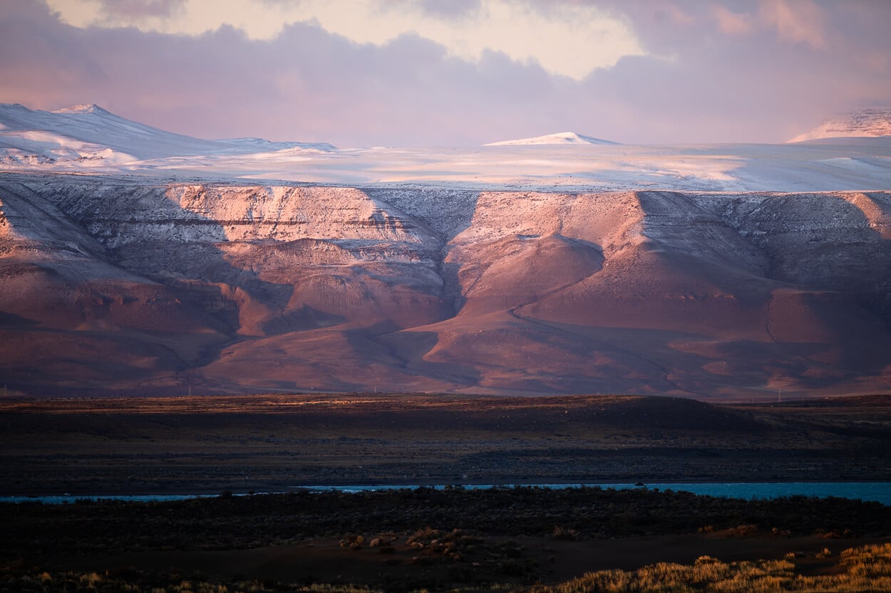
In Patagonia, snow can fall early or late in the summer season – or occasionally also in Summer at higher elevations.
Combining Chile and Argentina
If you intend to cross borders, you need to arrange a permit in advance. Plus, there are a few additional points to consider.
- Rental Car Permit: First of all, if you are renting a car in Argentina, you need to have a permit to drive the car to another country. This can be requested from your rental car agency, typically at least one week to ten days in advance, and it comes at an extra cost.
- Customs checkpoints opening hours: Border crossing is also something that requires some time and can only be done during the opening hours of the Checkpoints on each side of the border.
- Chile’s PDI: Each time you enter Chile, you’ll receive a PDI ticket. You’ll need to give it back at the border each time you leave, so don’t throw it away.
- Bringing food in: Chile has strict regulations, and you can only import some “commercially packaged, unopened types of food, and all have to be declared in advance. If in doubt as to whether you have “unallowed” foods with you, put yes on the entry form (you can fill it in in advance here). More info on SAG’s official website. Get familiar with the rules, as genuine mistakes could also lead to fines.
You can also view my main Hiking in Chile page for a similar overview.
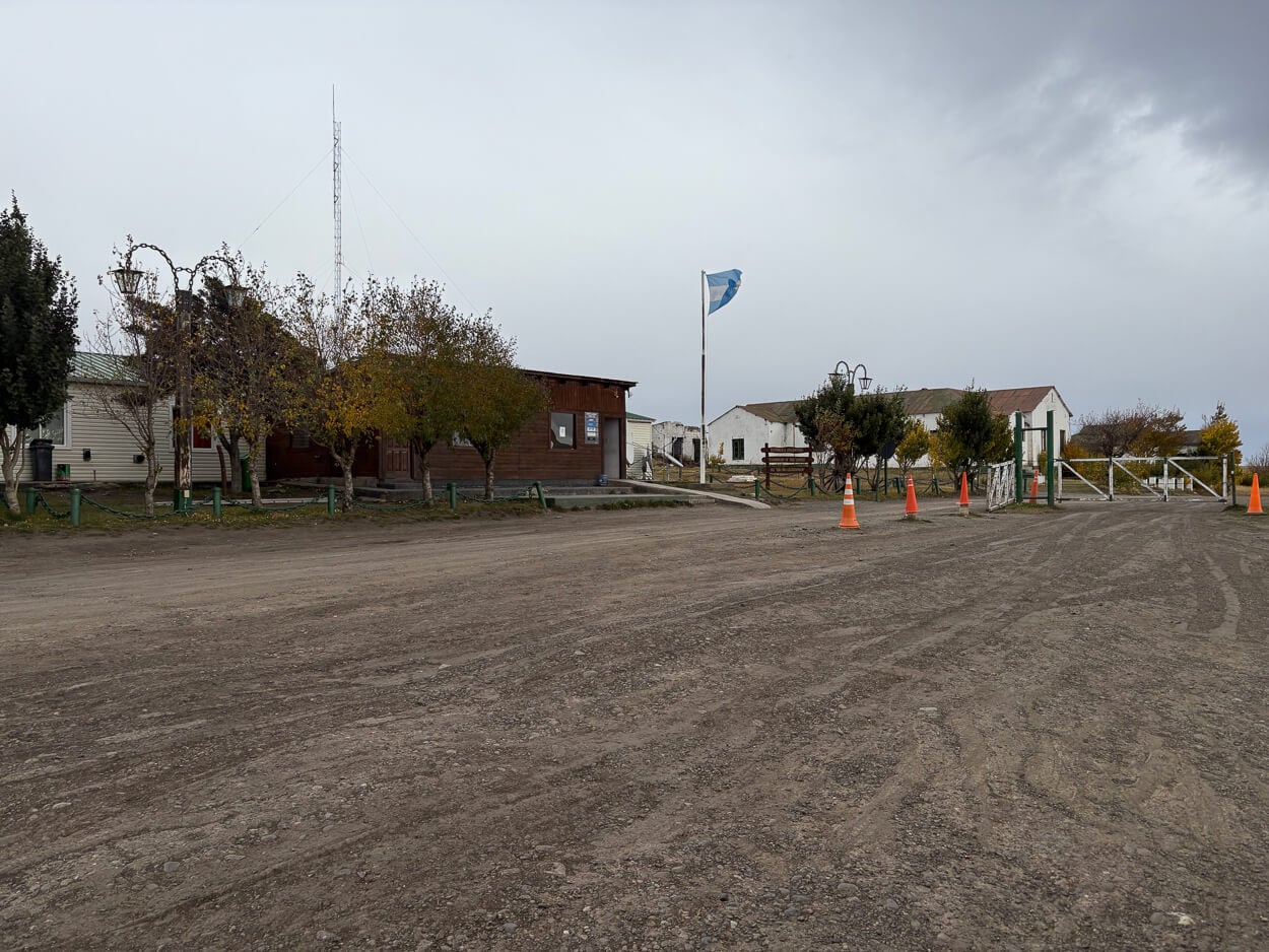
Paso Río Don Guillermo border checkpoint on the Argentinian side.
Restrictions – Does a Right to Roam exist in Argentina?
There is no right to roam in Argentina. This is critical because many apps and maps may show trails even when they cross private properties, while, in fact, you are not able to access them for that very reason. In this sense, ensuring you are not trespassing and respecting local practices and restrictions is key.
If a gate is locked or wired shut, it’s not just to keep the sheep and cows in; it’s a legal boundary. So, unlike many countries in Europe where the right to roam exists, or official trails often cross private properties, that does not exist in Argentina. Crossing private property is trespassing.
You could technically do it with the landlord’s permission, which in some cases is possible for a few. But realistically, in most cases, that would require knowledge of whom to speak to, which is mainly the domain of local guides.
Also, in cases where an official trail passes through an open gate (tranquera), you must leave it exactly as you found it. If it was closed, close it behind you. If it was open, leave it open.
Official Resources to plan your Hiking Trip in Argentina
There is a wealth of resources online to plan your own hikes and explore Argentina’s varied landscapes. These sites provide a good high-level overview of what’s available and where, without getting deep into the details. Mostly in Spanish, but they work well with auto-translations.
- Administración de Parques Nacionales (APN): the official website of the National Parks Administration.
- Here is also the official page to purchase your National Park Admission Tickets, all in one place.
- Santa Cruz provincial tourism (El Calafate/El Chaltén area), which covers Los Glaciares
- nahuelhuapi.gov.ar for trail-condition and closure updates in the Nahuel Huapi National Park
And finally, with some basics covered, here is a list of the latest posts about hiking locations and Photo spots in Argentina.