
Rottenvikvatnet and Rottenvikfossen Hike, Lyngen Alps, Norway
The Hike to Rottenvikvatnet and Rottenvikfossen, an alpine lake in the Lyngen Alps and a waterfall downstream of the lake, is probably one of the easiest, scenic hikes in the Lyngen Alps.
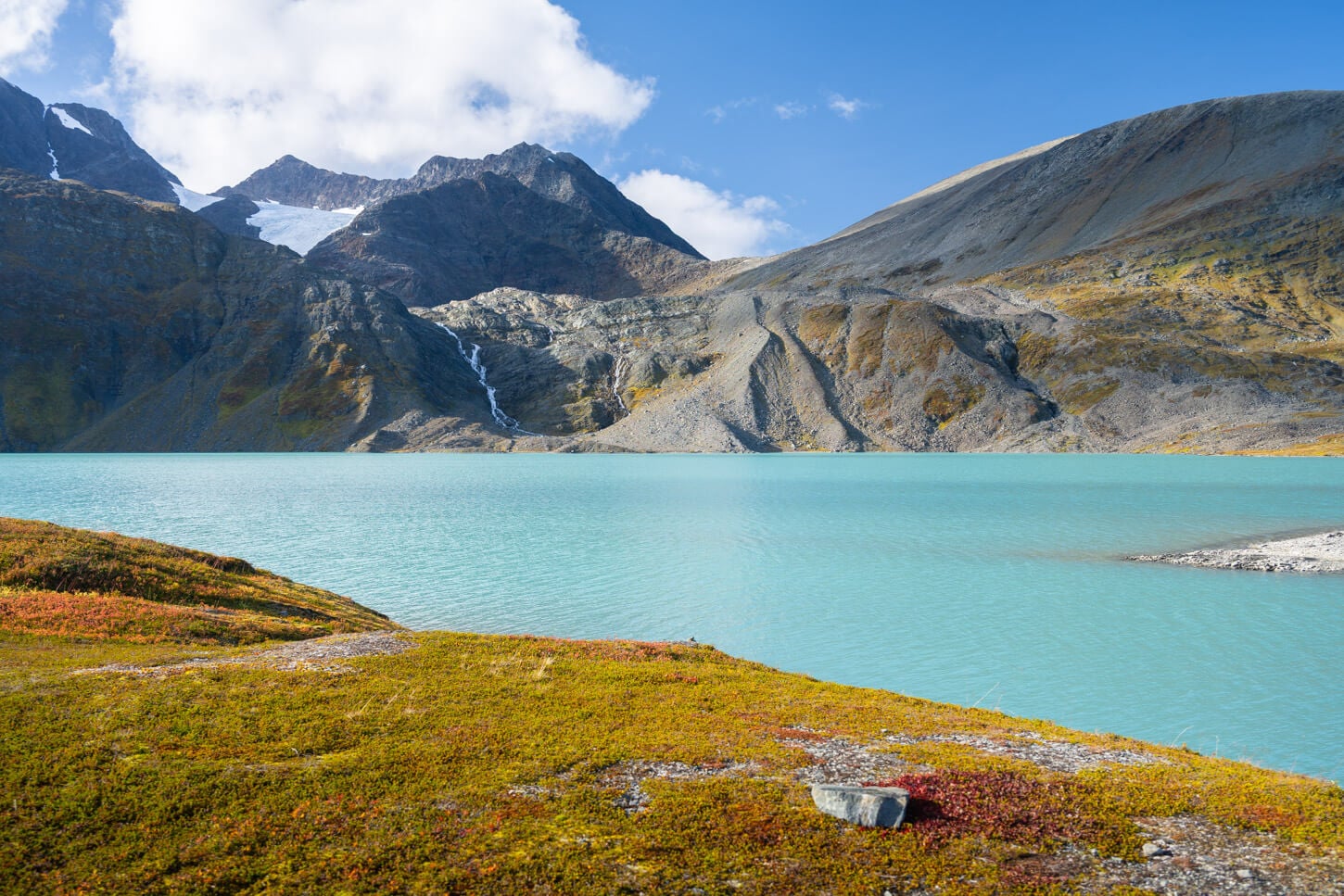
Rottenvikvatnet.
| Rottenvikvatnet Hike: Quick Overview |
| • Distance: 8.9 km / 5.5 mi (Out & Back) | Elevation: +550m / 1,804 ft | Time: 2.5-3 Hours | Difficulty: Easy but steep | Trail: Market Path / Gravel Road |
| • Start & Parking: Rottenvikvatnet Paid Parking Area |
| • Best Season & Light: Late spring to Mid-autumn, depending on snow |
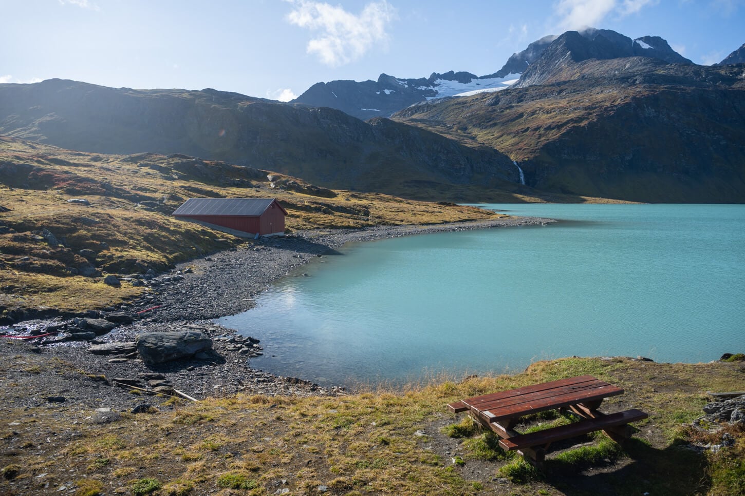
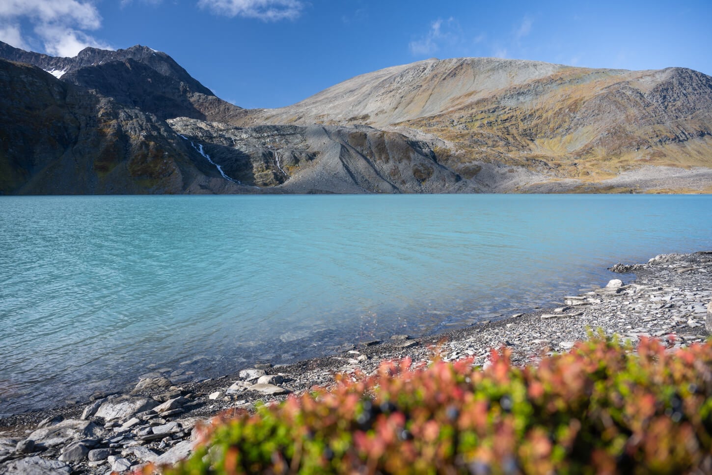
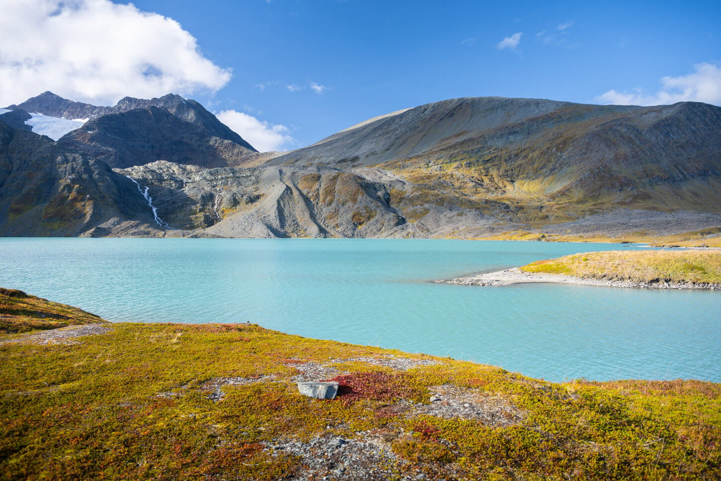
Rottenvikvatnet is a glacial lake turned into a reservoir. With its deep turquoise waters, surrounded by the raw peaks and glaciers of the Lyngen Alps, Alps Rottenvikvatnet is also a great alternative, or addition, to the more popular and crowded Blåisvatnet, another easily accessible glacial lake in the Lyngen Alps.
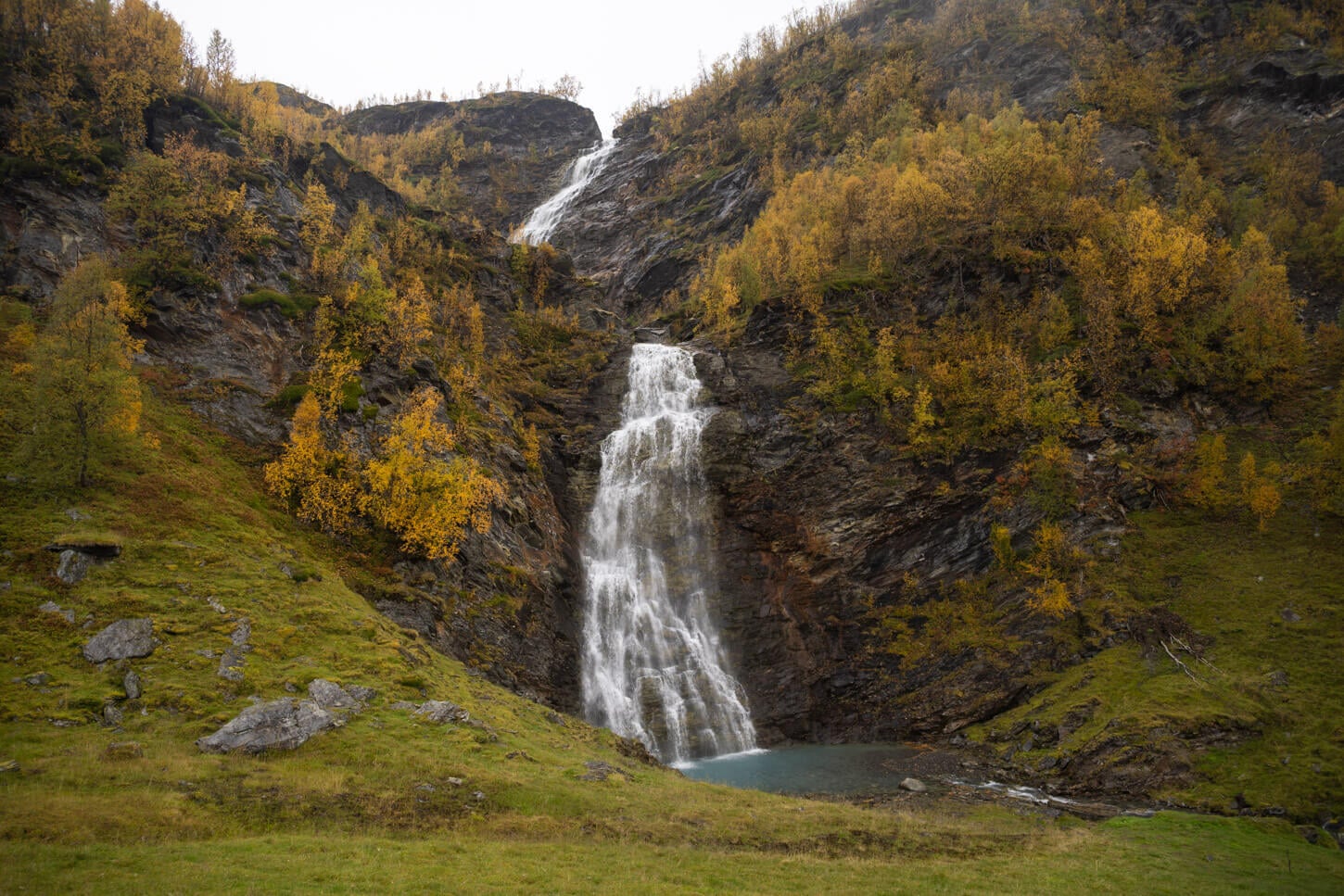
Rottenvikfossen.
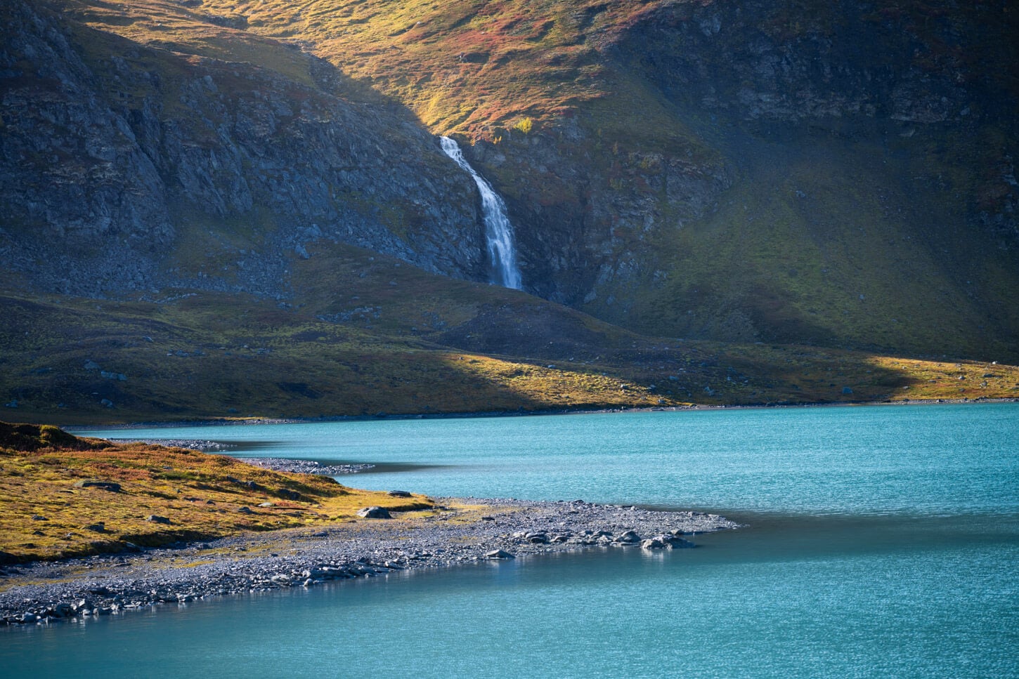
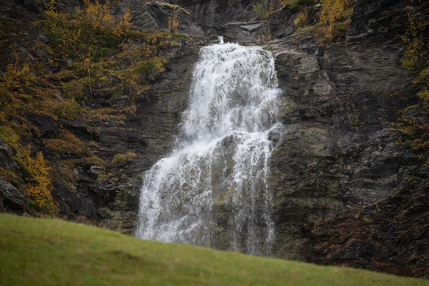
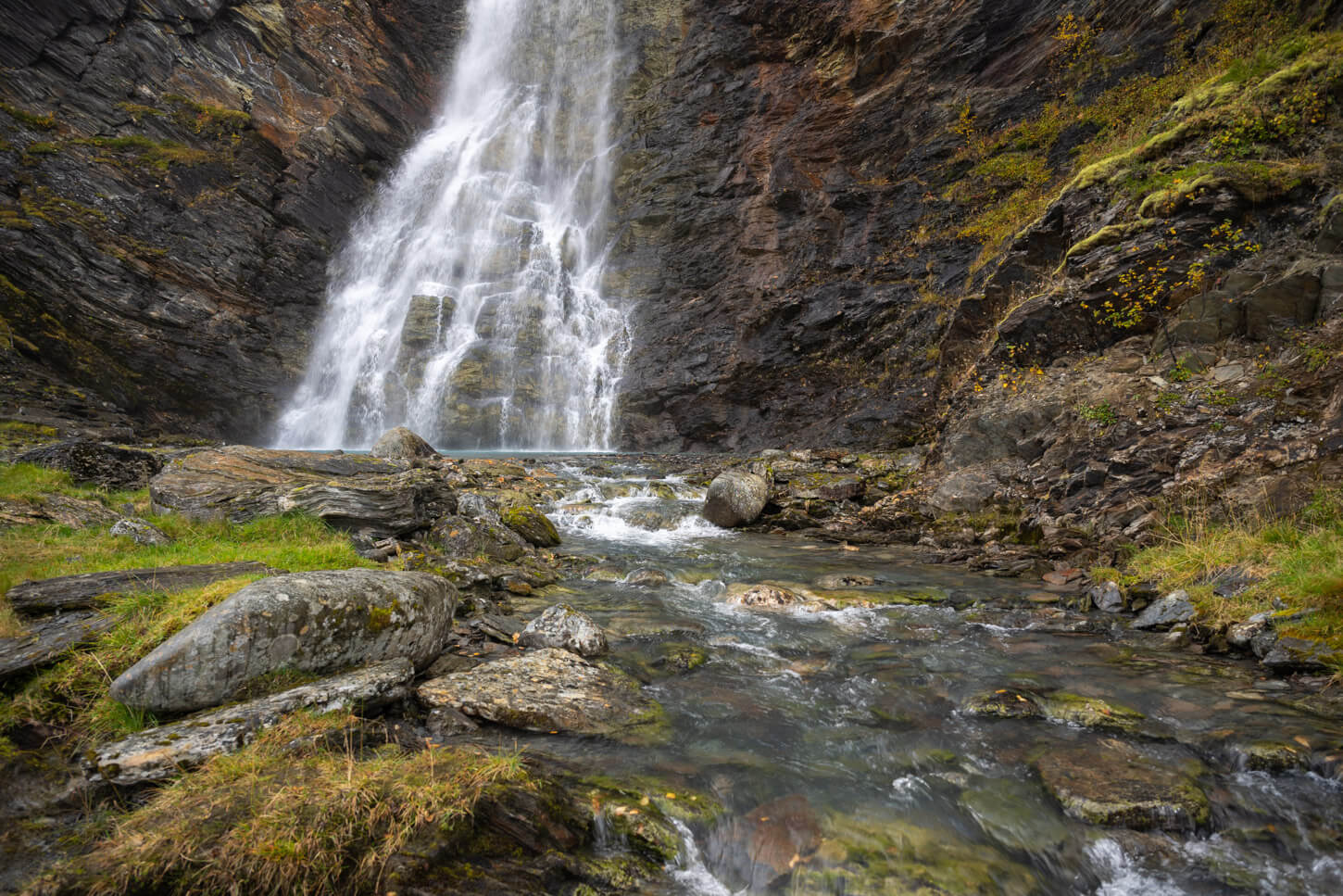
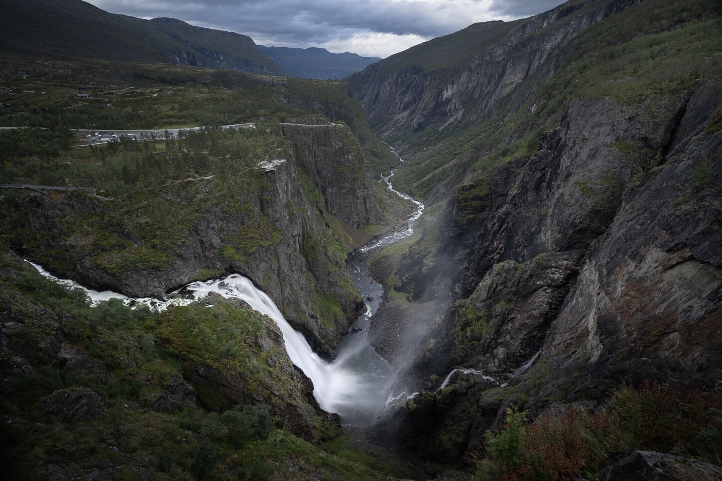
Rottenvikfossen instead is a two-step waterfall that originates from the glacial waters of the lay. It is an impressive 126 meters (413 feet) in height, and the flow is at its highest in early summer. You can easily visit both on the same hike.
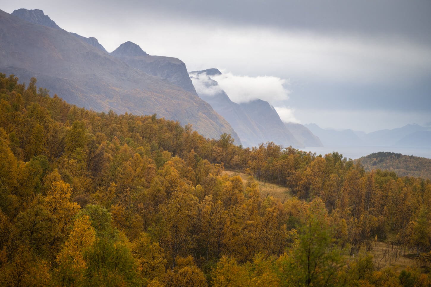
And the views of the landscape around the Lyngen Alps and the Lyngen fjord that the trail offers are some of the best in the area. if you are around in autumn, which is around mid September here, you’ll also be able to catch the beautiful golden colors of the forests in the area.
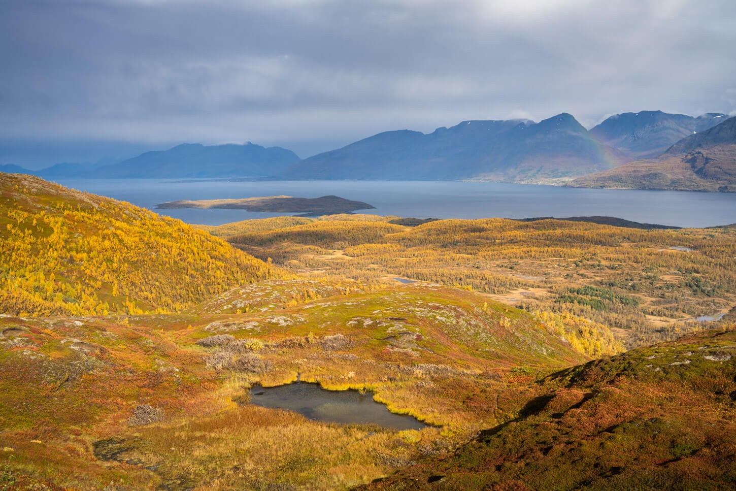
View toward Lyngenfjord from the trail to Rottenvikvatnet.
Also, as this is Sami territory, the names of the Rottenvikvatnet and the And Rottenvikfossen are respectively Guohcavuohjávri and Guohcavuohgorzi.
Table of Contents
Overview of the Rottenvikvatnet and Rottenvikfossen Hike, Map & GPX
Overall, the Hike to Rottenvikvatnet is easy, but there are some rather steep sections. It is pretty much all on a dirt track, which is used to access the reservoir for maintenance.
While Rottenvikfossen originates from Rottenvikvatnet, they are not on the same path, and you can decide which one to visit first. I opted to visit Rottenvikvatfossen first, for a couple of reasons. It’s a short and easy out-and-back hike compared to Rottenvikvatnet, so I wanted to do it first in order to spend more time at the lake. Second, it was cloudy and rainy, so I wanted to wait a bit to be at the lake hen the would come out. But then again, you can visit them in the order you prefer.
Also, while the hike to Rottenvikfossen is short and involves very little elevation gain, the hike to Rottenvikvatnet is longer and has a much steeper section. It’s mostly actually on a dirt/gravel road, but it is very steep for a road.
Here is the map of the hike. You can download the GPX file for free from the activity linked below.
How to Get to the Rottenvikvatnet and Rottenvikfossen Hike Trailhead and Parking
Rottenvikvatnet and Rottenvikfossen share the same trailhead, which is located on the Eastern side of the Lyngen Alps. You can easily reach it from Tromso or from the E6 highway turnoff at Oteren.
- Driving Directions: If you are driving along highway E6 from the south, turn toward Oteren onto road 868 as you approach the Lyngenfjord. Drive past Lyngeseidet and to Rottenvik on road Fv311. From there, it’s a longish drive to Rottenvik. If you are driving the E6 highway from the north, you also have the option to take the Oderdalen-Lyngeseidet ferry, which will save you about 110km in total. From Tromso, you can drive to Breidvik and catch the ferry to Svensby, and drive to Lyngeseidet from there. Once in Rottenvik, a dirt road leads to a parking area in the woods.
- Parking: Paid parking is available by the trailhead. You can pay with Easy Park.
- Public Transport: There is a bus stop on road Fv311, served by lines 460 and 467. Timetables on fylkestrafikk.no.
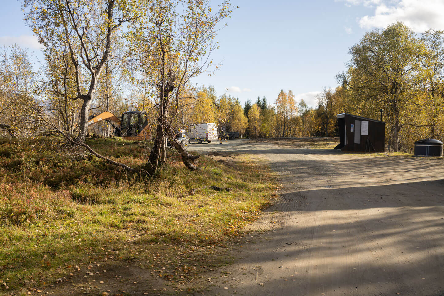
Rottenvikvatnet Parking area and trailhead
The Rottenvikvatnet and Rottenvikfossen Hiking Trail
I’ll describe this hike starting from Rottenvikfossen, as that’s where I went first, then to Rottenvikvatnet. However, since they waterfall and the Lake are on two different trails, you can visit them in whichever order you prefer. Or visit one or the other only.
The hike to Rottenvikfossen is about 1.3km one way (0.8 miles), while to Rottenvikvatnet it’s about 3.2km one way (1.9 miles).
Rottenvikfossen
A few meters after leaving the parking area, you will see a trail to your right, with “Rottenvikfossen” carved on it. It’s a nice, wide path in the forest, mostly flat. After a few minutes, the trail reaches the Rottenvikelva river, Guohcavuohjohka in Sami, before a short uphill section that leads to a meadow from where you’ll have the first view of the waterfall. There will likely be sheep grazing around it, too – or “traces” of them.
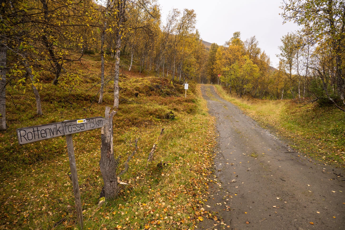
Rottenvikfossen Trailhead.
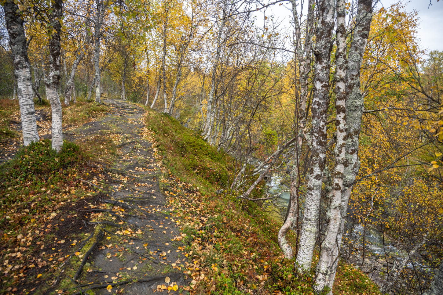
the trail partly follows the Rottenvikelva river upstream.
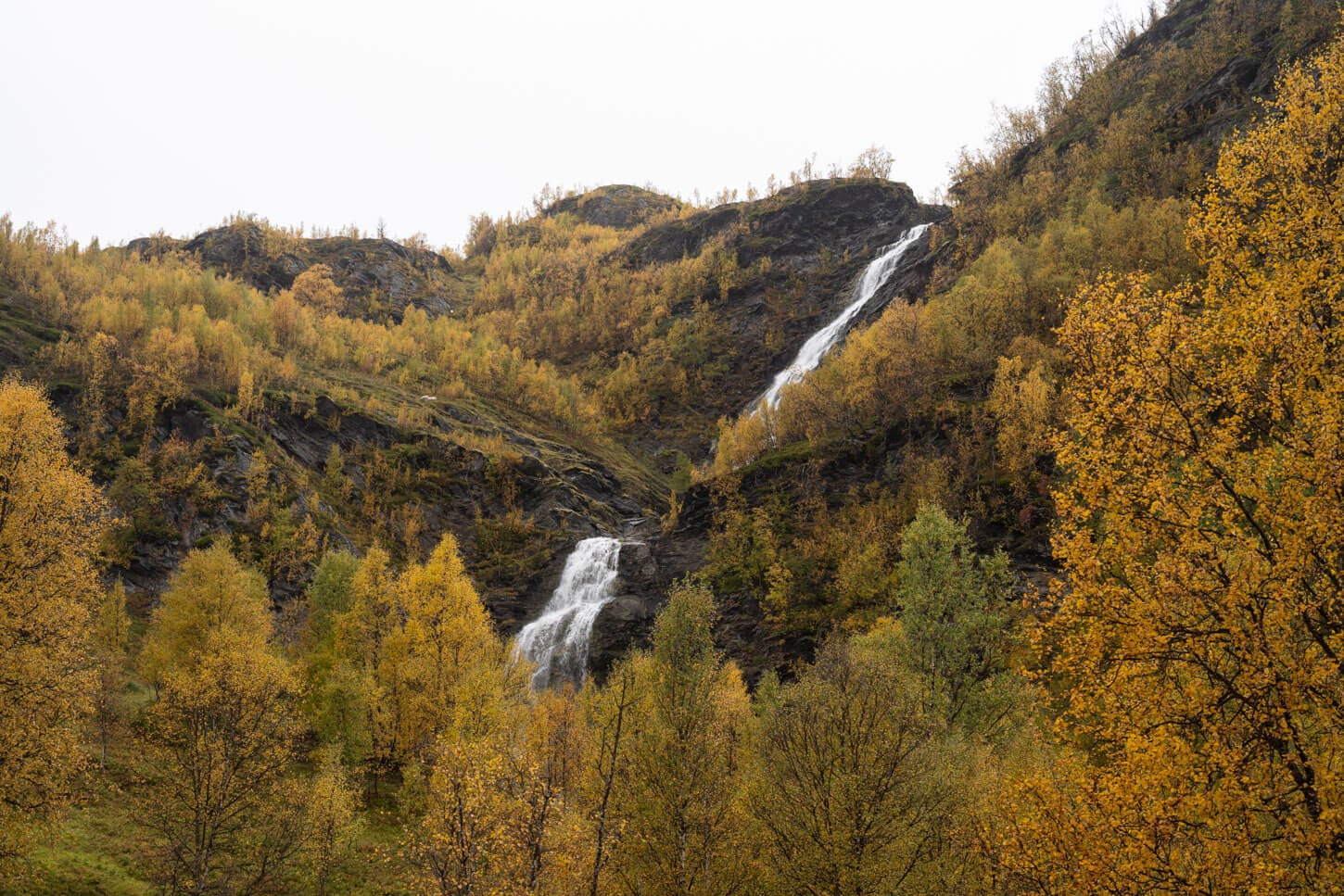
Rottenvikfossen from a distance
There are a few viewpoints around the waterfall, both above and below its base. While this is a two-step waterfall, you only have a clear view of the lower step, but you can see the upper part best from afar. On the upper part of the meadows, you also get some good views of the Easter face of the massive Lyngen Alps.
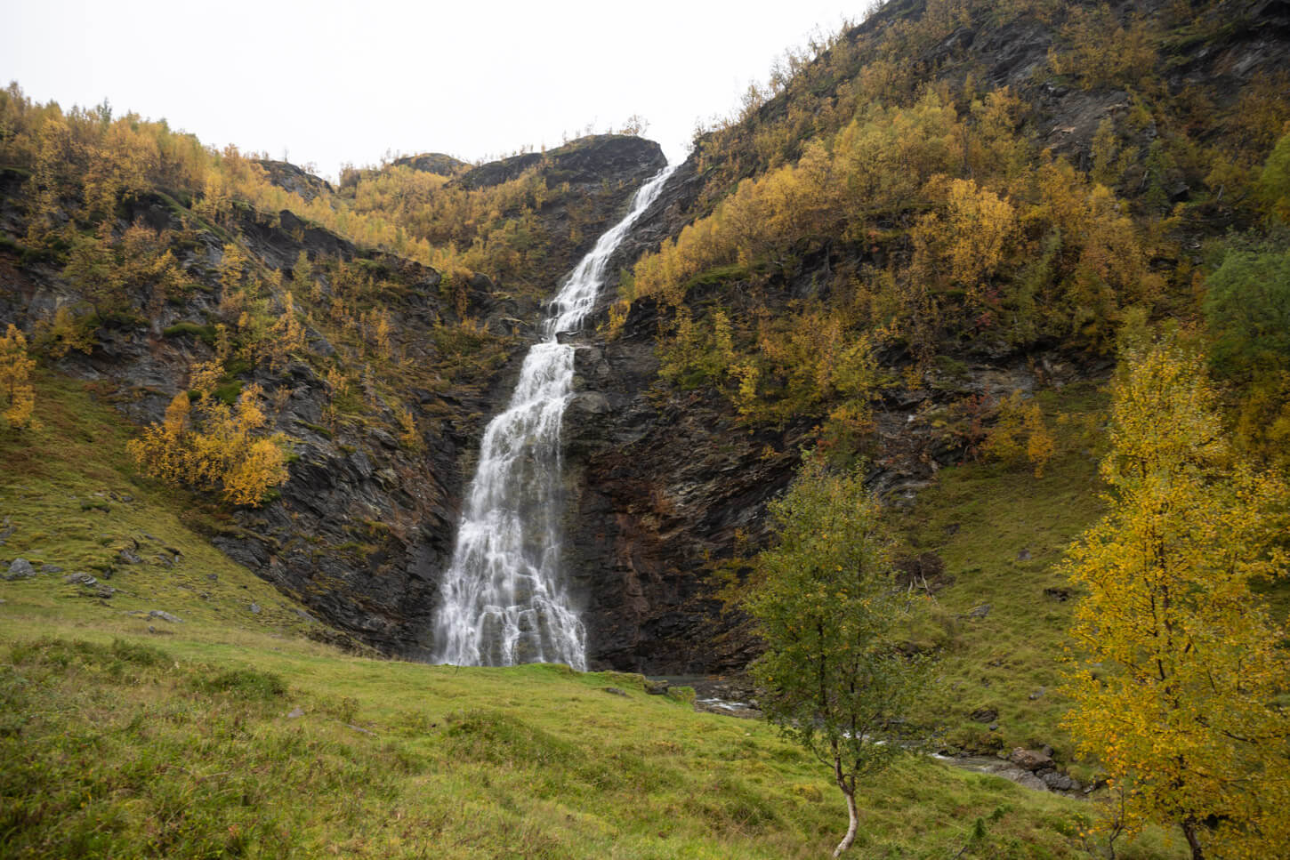
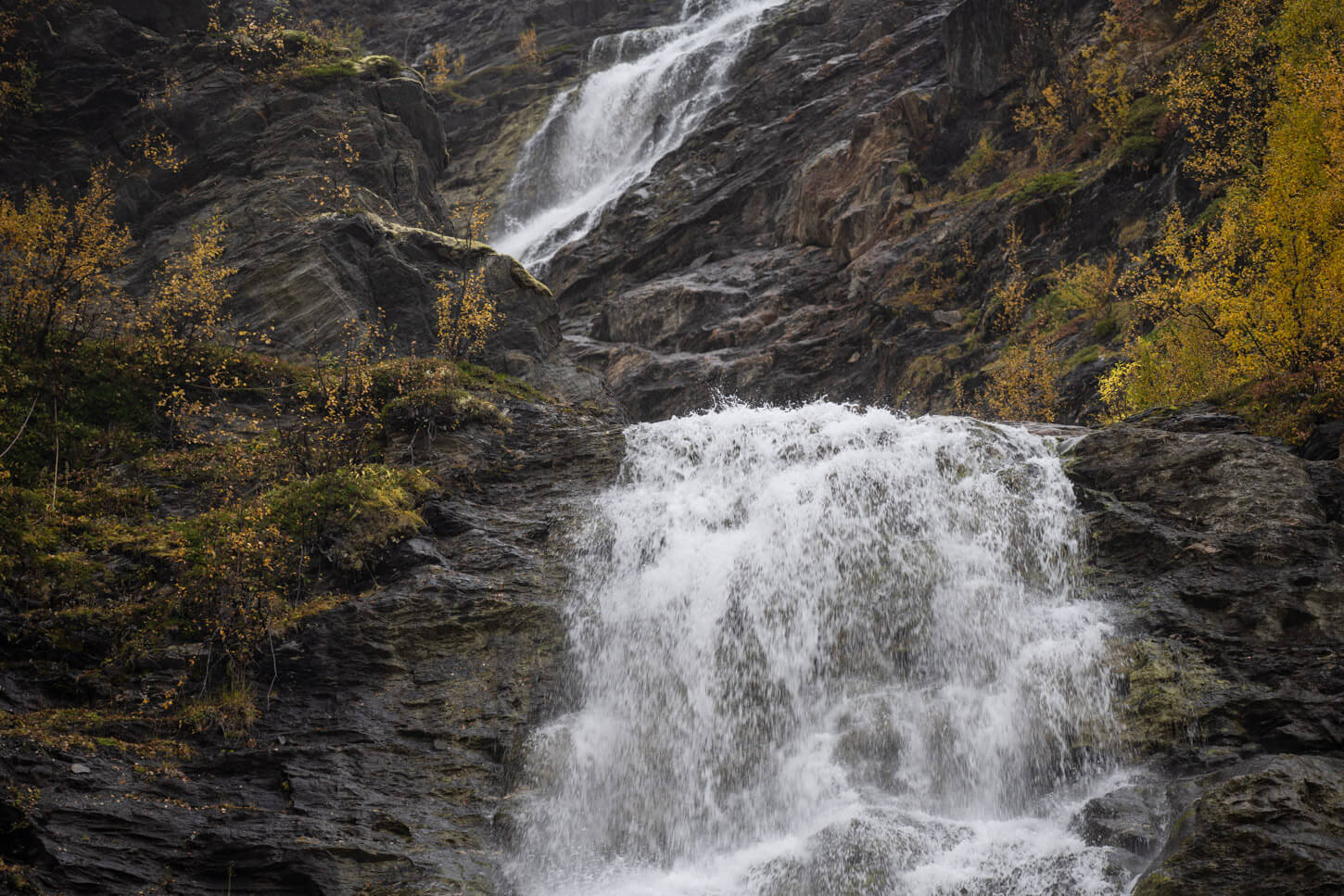
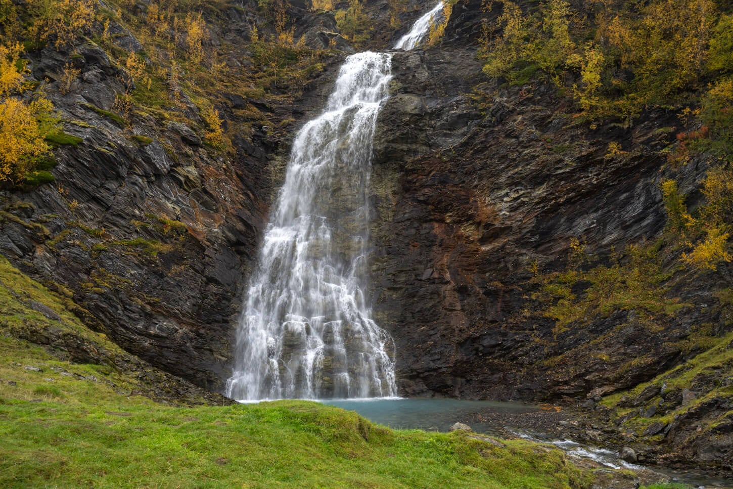
This is an out-and-back trail, so if you want to continue to Rottenvikvatnet, you need to follow the trail back to the trailhead and take the uphill dirt road to your right.
Rottenvikvatnet
Once you’re back at the original fork in the trail, you can continue on the dirt road up the mountainside. easy walk initially, but soon the gravel road will turn into a sort of “wall”. Seriously, in places it’s probably as steep as a road can get.
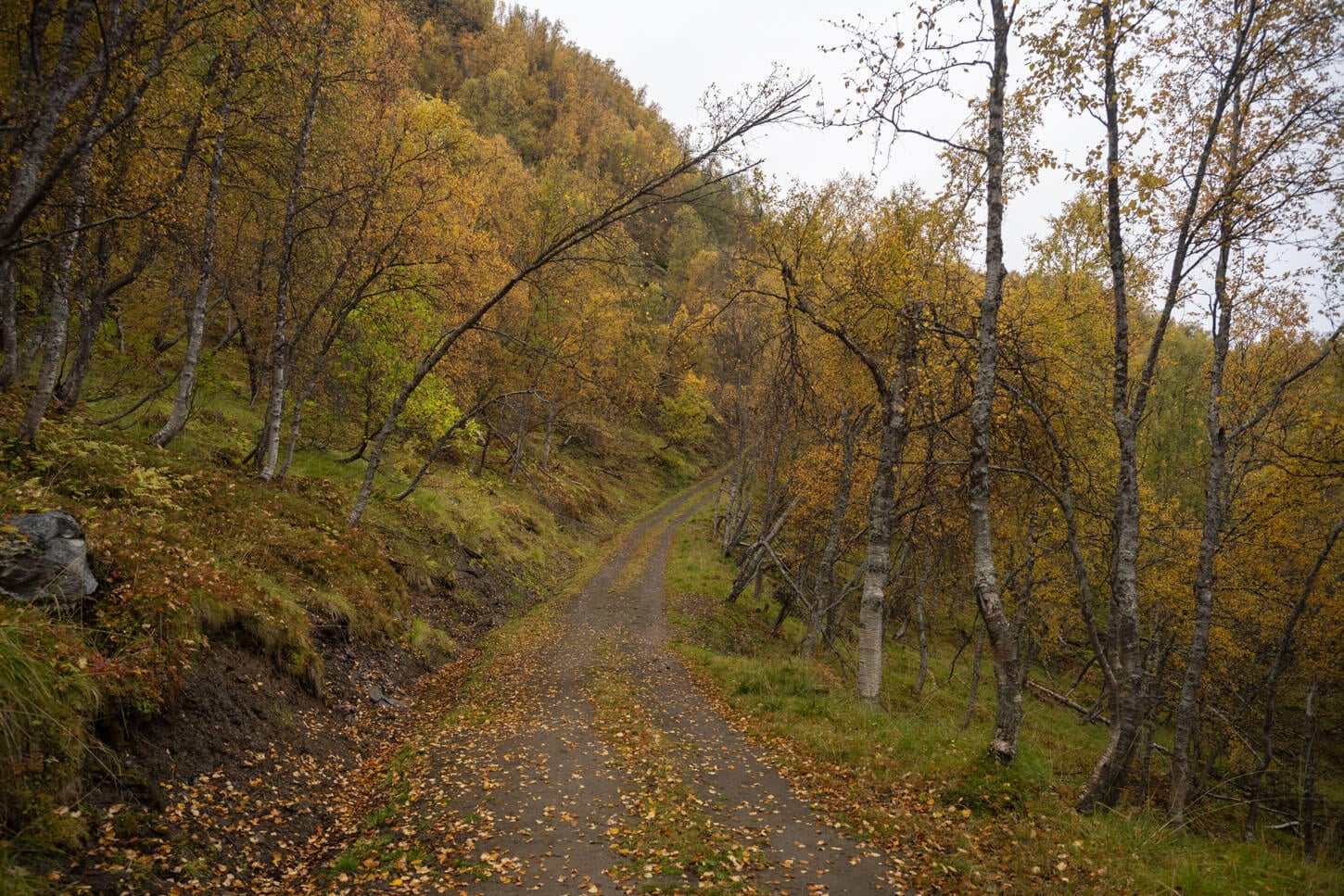
the trail to Rottenvikvatnet follows dirt road that is use to service the hydroelectric power plan and the reservoir.
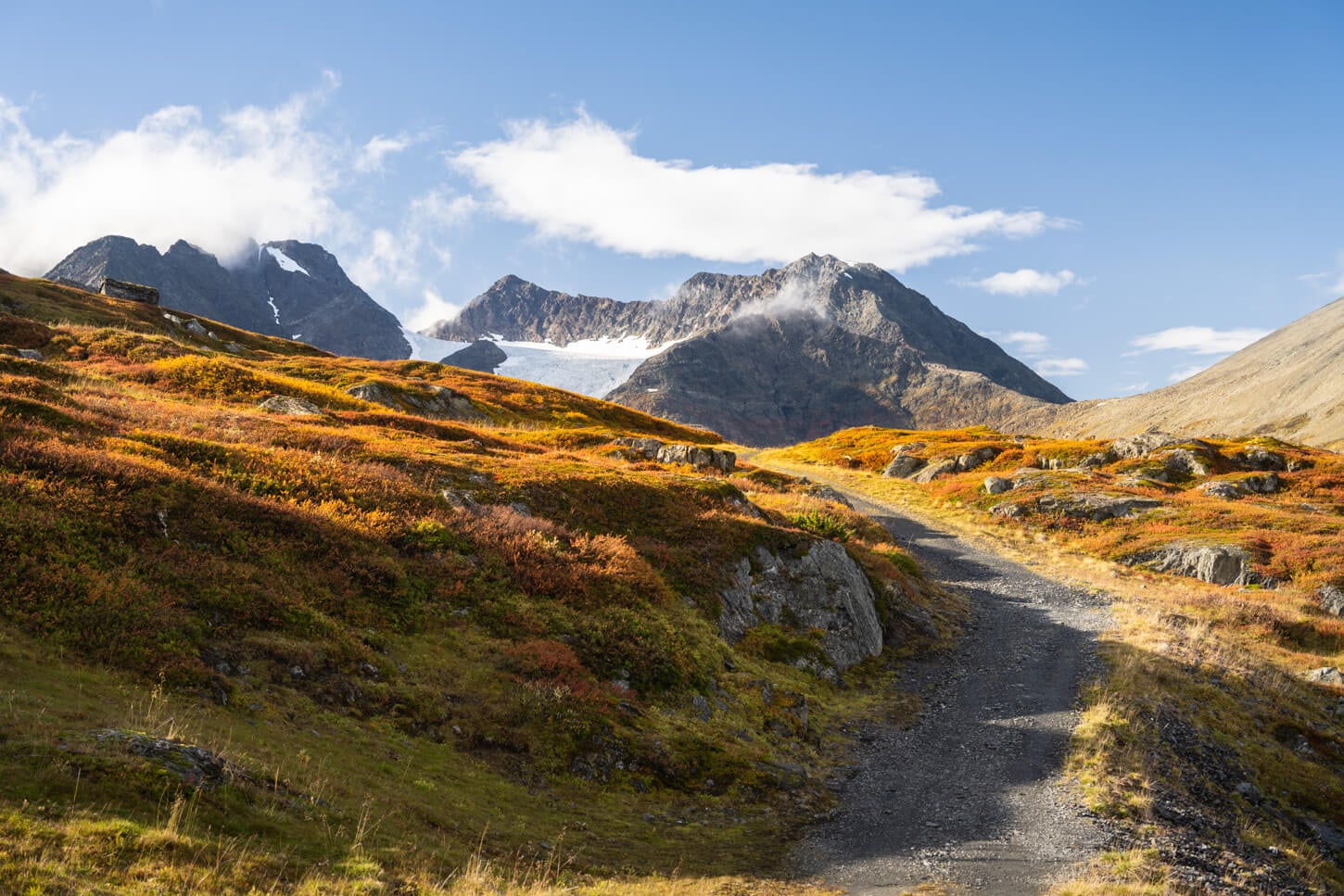
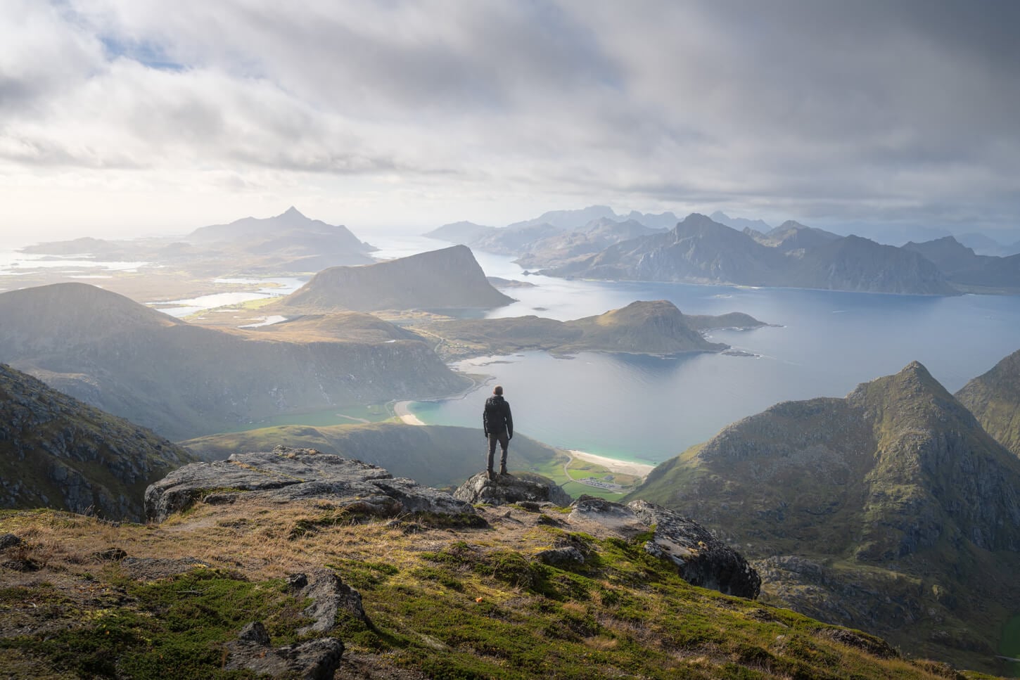
As you keep following the road, the views will open up to the vast area around the Lyngen Alps and the Lyngenfjord, revealing the “primordial” landscape around the fjord. The higher you go, the better the views.
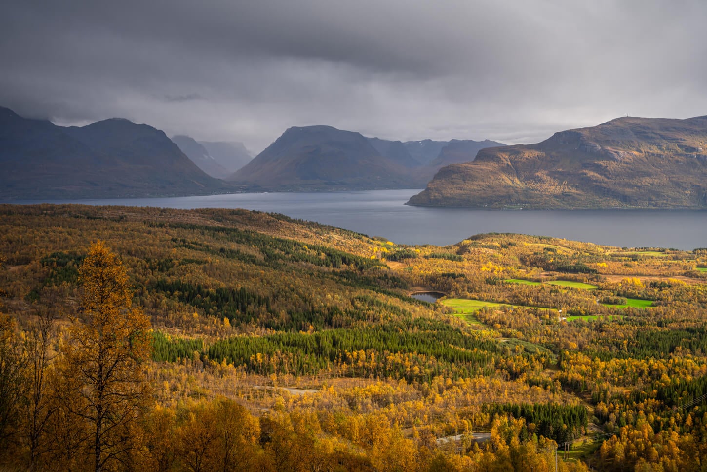
As soon as you gain elevation, the trail offers beautiful view of the vast and raw landscape around the Lyngen Alps.
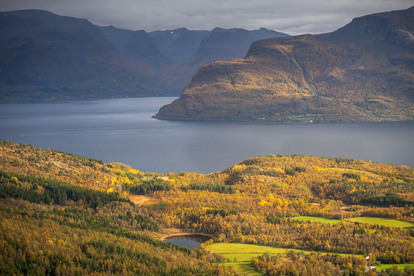
As you continue up the road, you will gain the first views of the Rottenvikbreen, the glacier above the lake that feeds it.
Here, the trail gradually flattens out and reaches the southern shore of the lake first. You really do not see the lake until you reach the dam of the reservoir.
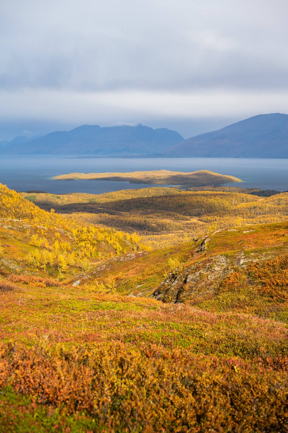
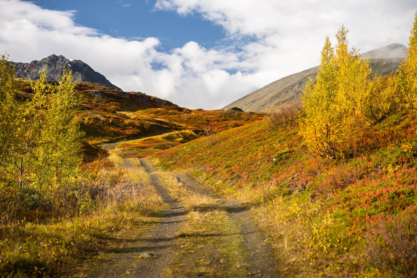
From there, you have a good view of the waterfalls on the opposite side of the lake and the raw mountains above them. You can then follow a walk on the dam and follow the shoreline to the other side, where you can loop back to the dirt road.
However, the lake is a great and peaceful place to stay for a bit, to just relax and enjoy the scenery on a nice sunny day.
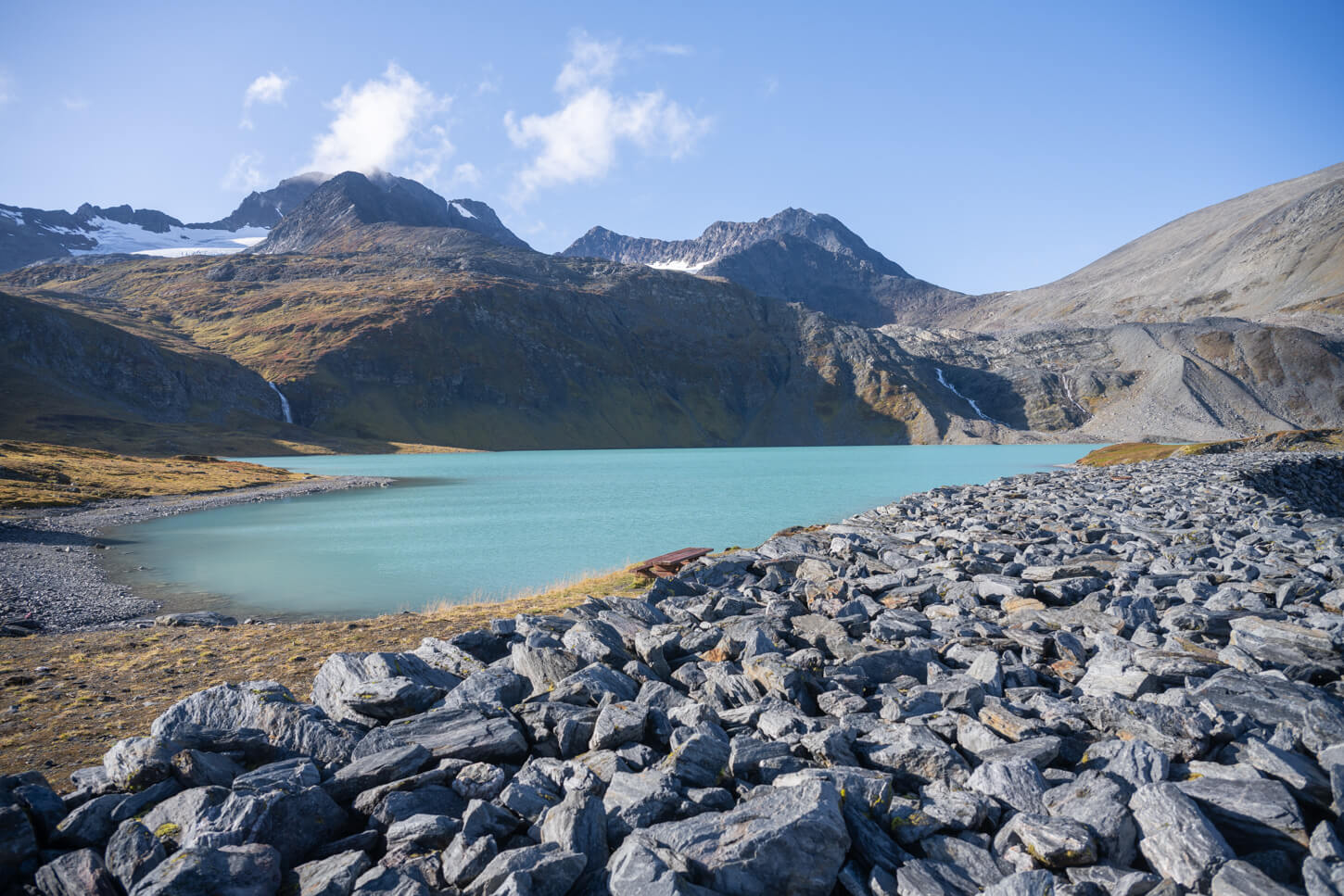
It’s possible to walk along the shoreline on the Dam.
Rottenvikvatnet and Rottenvikfossen Photos and Photography Tips
In terms of landscape photography, this is actually quite a difficult location to shoot at for two main reasons.No wuestions the lake and the environment around it are extremely beautiful
However, purely in photographic terms, the area around the lake lacks some interesting foreground and a more prominent background. While the color of the lake makes a beautiful and colorful middle ground, it’s difficult to find a combination that works well for all three layers.
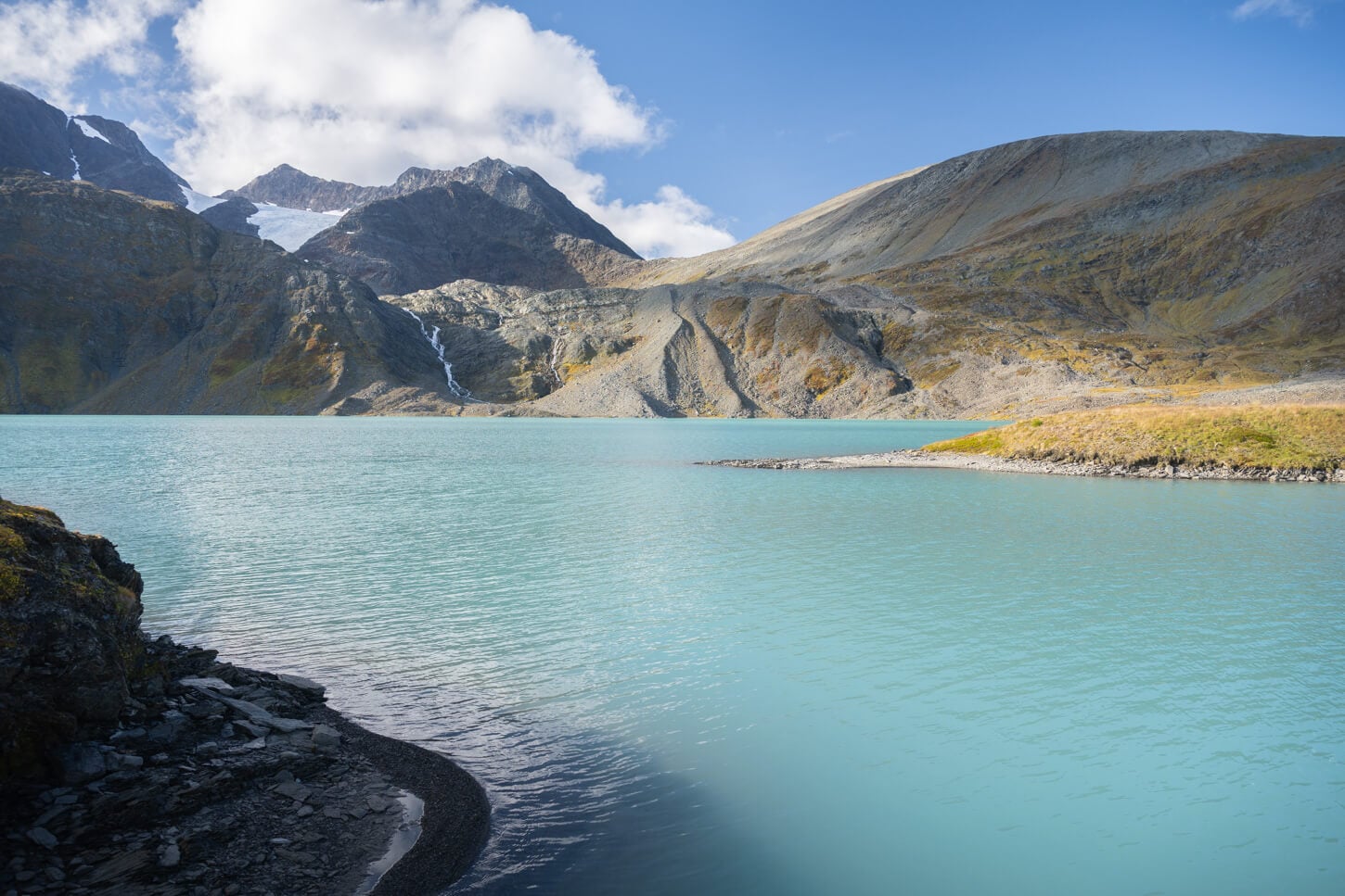
In that sense, it’s best to focus on finding an interesting foreground too, and that requires walking around the shore to find anything that could work as an anchor or interesting lines. So that requires a bit of exploration.
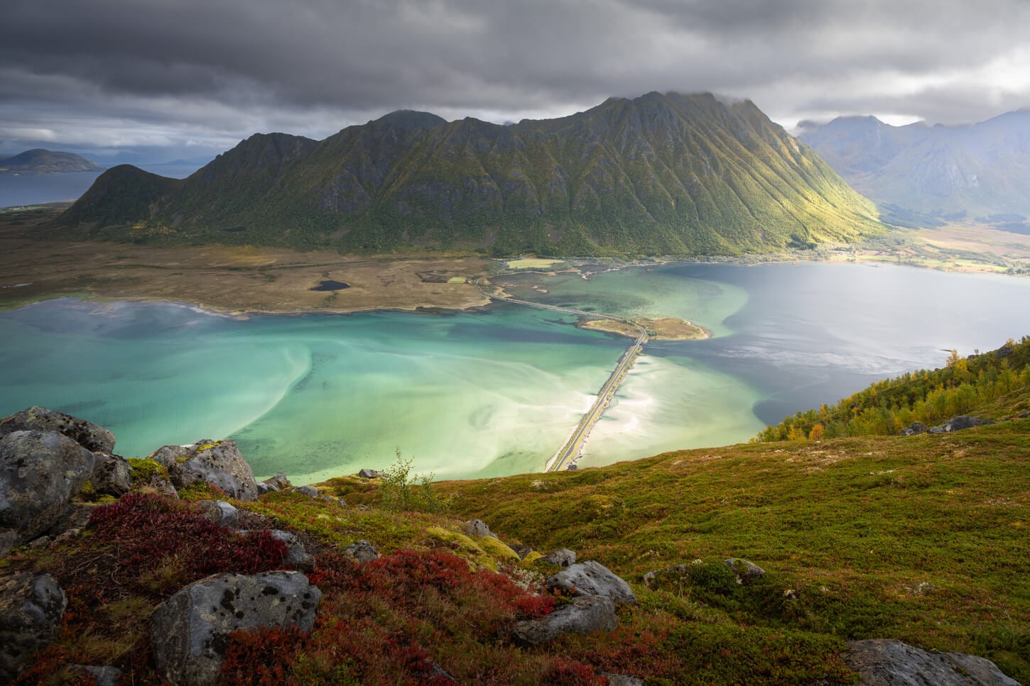
On the other hand, the views of the Lyngenfjord area from the trail are quite spectacular. Especially in autumn, the whole landscape turns into a vibrant collection of fall colors that complements well with the cold color of the sea and the sky.
Also, more than sunset/sunrise, it’s a better location for the morning or afternoon golden hours, depending on the season. Due to its position, in summer and during the midnight sun season, the lake will be lit only in the early morning to mid-afternoon, while later in the season the window will be shorter, as the sun moves behind the Lyngen Alps.
Speaking of lenses, I’d recommend a range between 24 and 200m. A wide angle lenses much below 24mm would be too wide for the same reason mentioned above in terms of composition.
That focal range works well for the Waterfall, Rottenvikfossen, too. As for the lake, it is difficult to find an optimal foreground or composition, but with some walking around, you’ll find some more interesting compositions, especially focusing on the smaller details of the waterfall.
Where to Stay
The Lyngen Area has no shortage of places to stay, and it’s a great place to stay if you are looking for more “rural” accommodations.
For Campervans or RVs, there is a really nice, free area along the E6 highway; the Hatteng Rest stop.
You can also camp with a tent around the lake within the Allemansretten regulations.
Additional Resources
- For more interesting hikes nearby, check out the Steindalsbreen Glacier, or Blåisvatnet.
- Discover more Scenic spots and Hikes in Norway.

Leave A Comment