
Knivskjellodden Hike (And Tips to Visit North Cape), Norway
If you have never heard of Knivskjellodden, it’s essentially the “real” Nordkapp, and the one you can only hike to. Yes, North Cape is not the Northernmost point in continental Europe; Knivskjellodden is more than 1km north of the official North Cape. About 1.45 kilometers or 0.9 miles further North, to be precise.
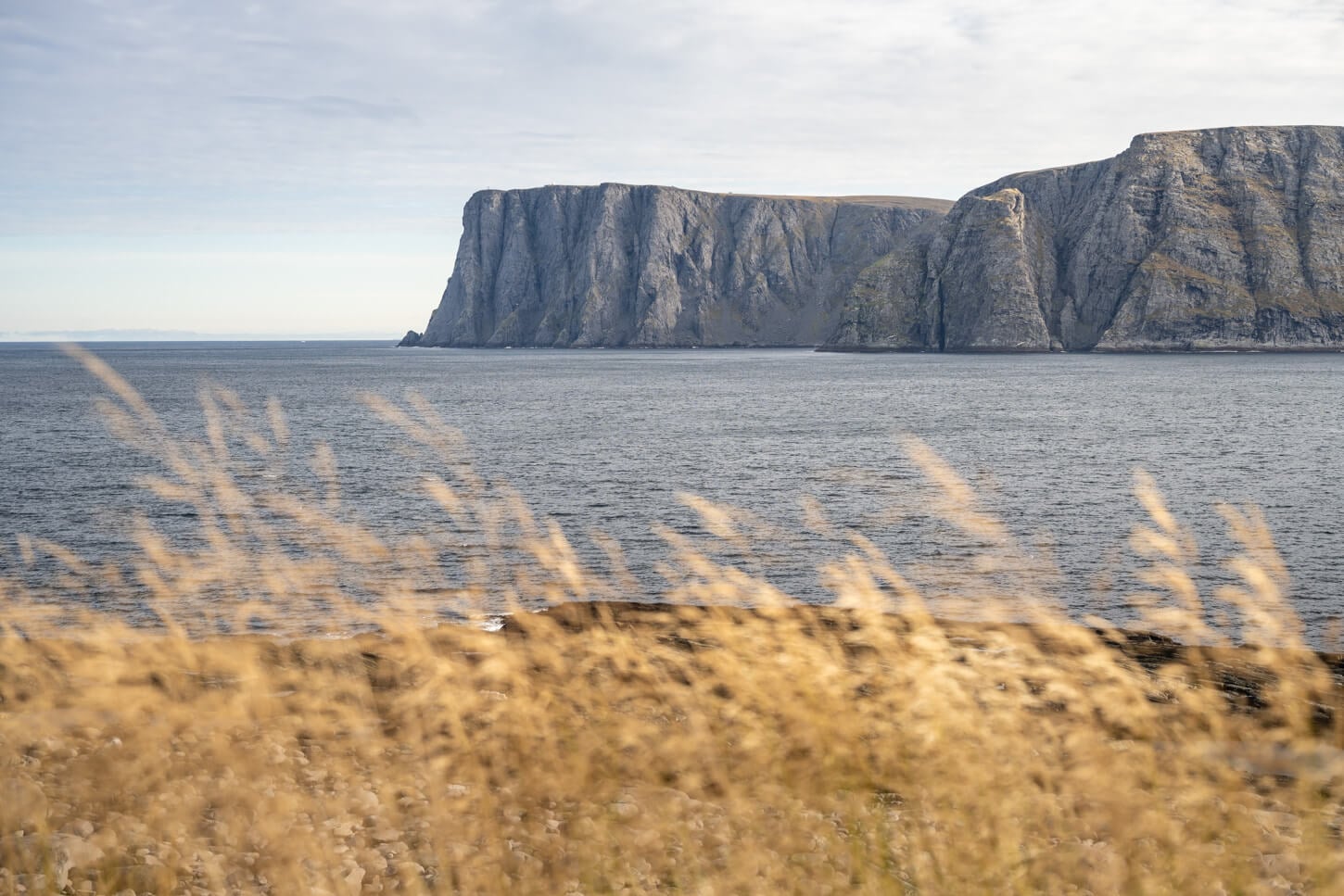
North Cape, viewed from the Knivskjellodden Hiking Trail.
| Knivskjellodden Hike: Quick Overview |
| • Distance: 17.5 km / 8.2 miles (Out & Back) | Elevation: +550 m / 1,804 ft. | Time: 4.5-5.5 Hours | Difficulty: Moderate | Trail: Fully marked with red T’s |
| • Start & Parking: Knivskjellodden Parking area on Nordkappveien |
| • Best Season & Light: Early Summer to Early Autumn |
It’s not a particularly difficult hike to Knivskjellodden, antlhigh relatively long, at more than 8 km, one way. However, the terrain is rocky, uneven, and can be muddy and boggy in places. And, with the addition of less-than-ideal weather conditions, like strong winds, it can be more tiring than you’d anticipate.
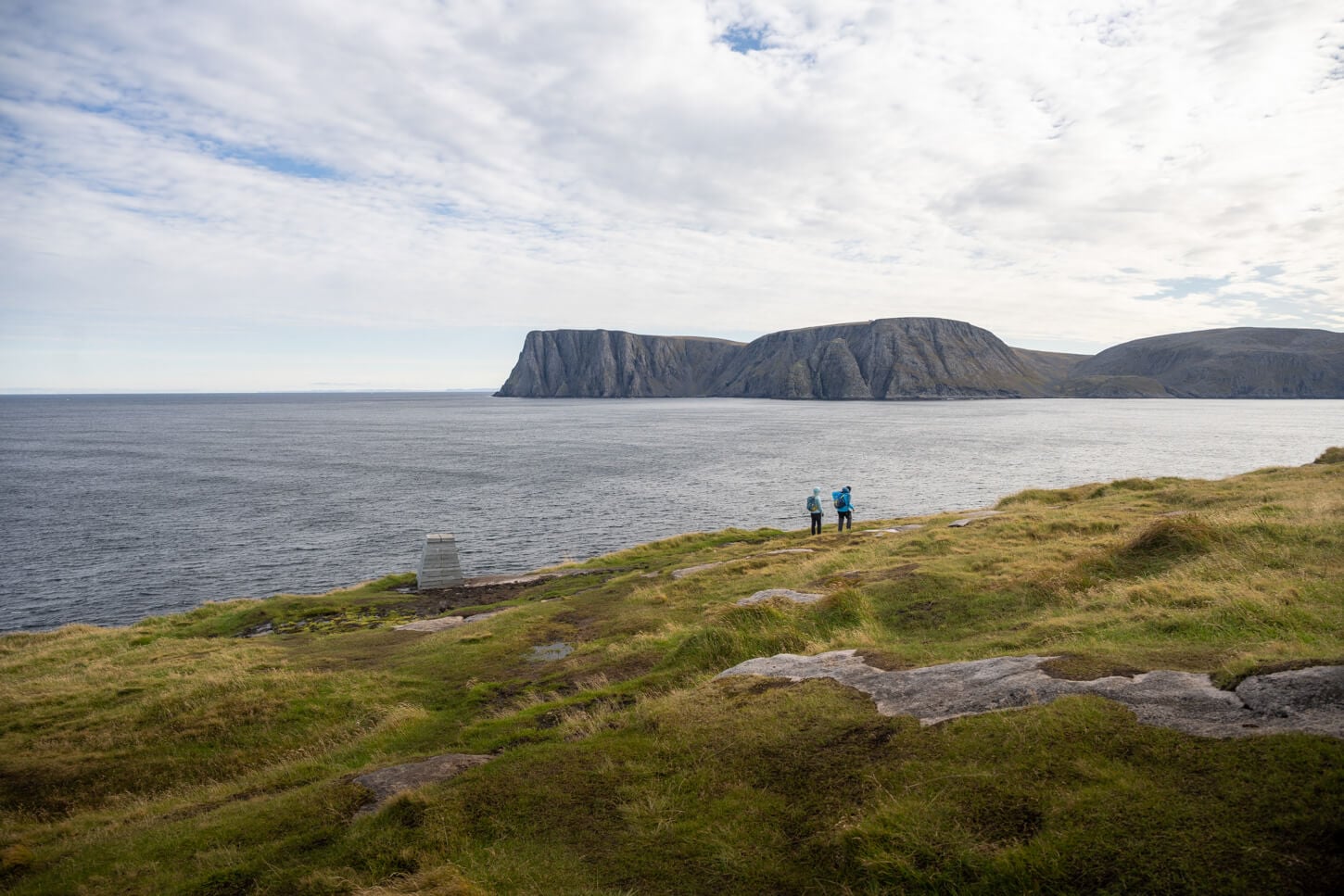
View of the North Capr, or Nordkapp, plateau from Knivskjellodden.
It is also a hike mostly through the pristine arctic tundra toward the coastline. It’s a raw, barren landscape.
About that, the landscape, you gain the views of the impressive, “official” North Cape Cliffs across the small bay that separates the two locations. And, perhaps, you’ll come across grazing Reindeer too. They’re almost everywhere in this area, and they are a very common sight
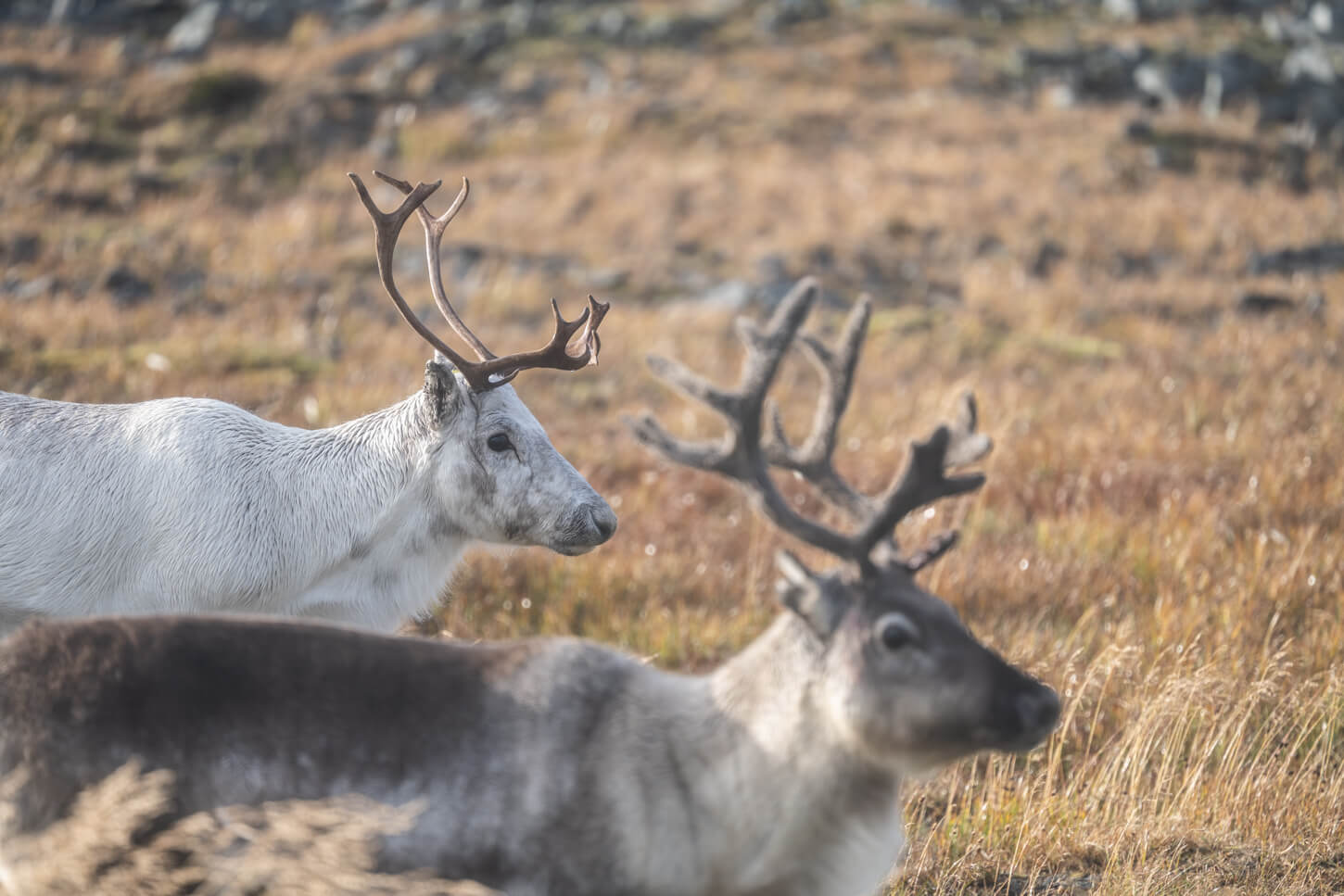
Reindeers around the Knivskjellodden parking area.
Fun Fact: Knivskjellodden is still not the northernmost point in mainland Europe. That title goes to Kinnarodden, located farther east. That’s because Knivskjellodden is actually on an island, Magerøya. But you have to give it to the Norwegian tourist board, they created three North Cape attractions for the price of one!
But regardless of such “accolades” it makes for a great road trip to some of the most remote areas in mainland Europe. I’ll also share some extra tips on planning a trip through the area all the way to North Cape.
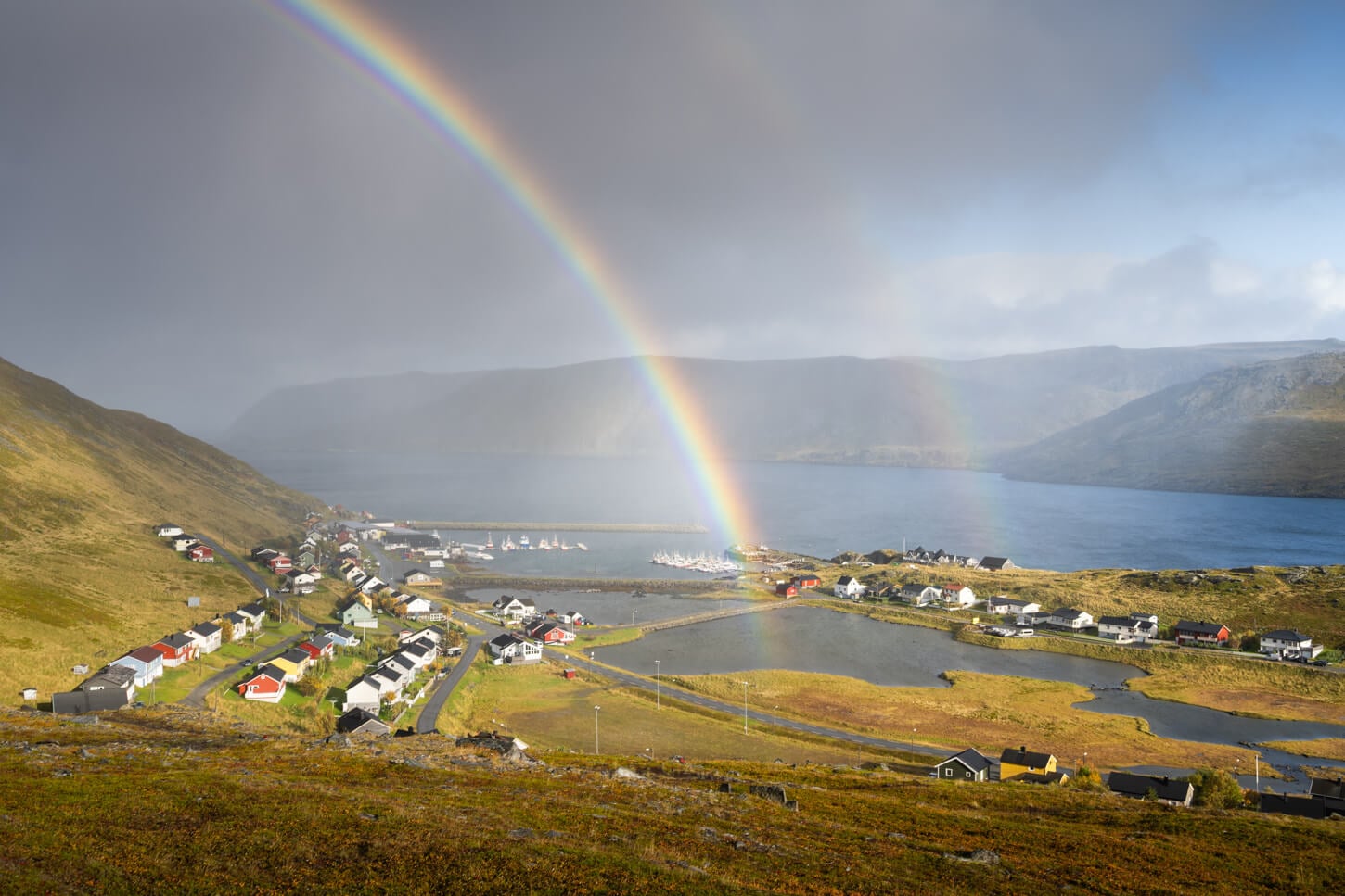
Skarsvåg, a small village about 20km south of the North Cape.
Table of Contents
Overview of the Knivskjellodden Hike, Map & GPX
The trail to Knivskjellodden is a mixture of rocky terrain, mud, and boggy areas. You are actually near the highest point, to descend toward the coast. So, pretty much all of the elevation is gained on the way back instead of the way out.
Overall, the hike isn’t particularly difficult, and there isn’t much elevation gain involved. However, it can be strenuous in non-ideal weather conditions and strong winds. This, combined with the elevation gain on the way back, could make you feel more tired than you’d expect.
Also, if you are not used to hiking in an open tundra, it could also be a little more “mentally” challenging to walk for a few kilometers on an almost featureless landscape, where you do not seem to make much progress across the landscape at times.
Here is the map of the hike. You can download the GPX file for free from the activity linked below.
How to Get to the Knivskjellodden Hike Trailhead and Parking
Easy! From anywhere in continental Europe, drive north as far as you can, then park at the last parking area to your left before reaching the North Cape. That’s it :)! Jokes aside, it’s a hike that requires a fair amount of driving, and one you realistically can do if you’ve already committed to visiting North Cape.
To get there, you essentially have to drive the entirety of Road E69, known as “the Last Road of the World”. Technically, it’s the northernmost highway. It’s 129km long (80 miles), and the Knivskjellodden parking area is just 6.5 km south of the end of the road, or the North Cape plateau.
- Driving Directions: Road E69 is accessible from the junction with road E6 in Oldefjord. It’s from there that the 129km long drive towards North Cape on the E69 highway starts.
- Parking: There is a dedicated, free Knivskjelodden Trail parking area. right by the side of the road. It’s suitable for about 30-40 vehicles. Free, at the time of writing.
- Public Transport: No public transport is available in this area.
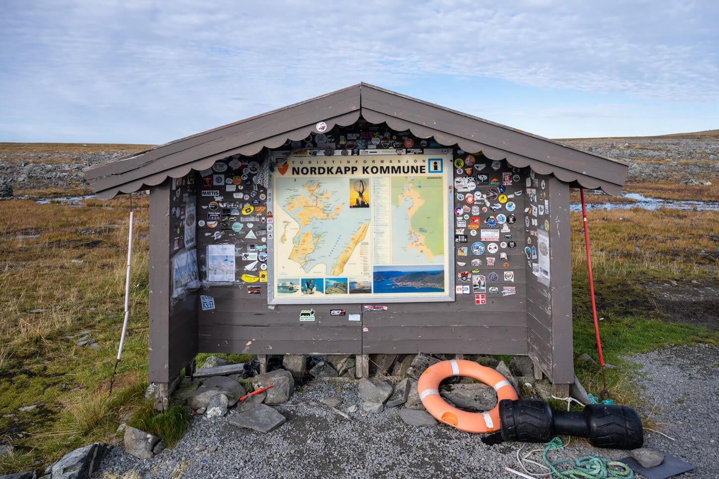
Infoboard at the Knivskjellodden Parking area/trailhead
The Knivskjellodden Hiking Trail
From the parking area, the trail follows a rocky, slightly uphill slope that leads to the highest points in the hike, shortly after the beginning of the trail. The trail isn’t really clear at the beginning, but you can walk toward the big cairn you’ll see up the hill from the parking area.
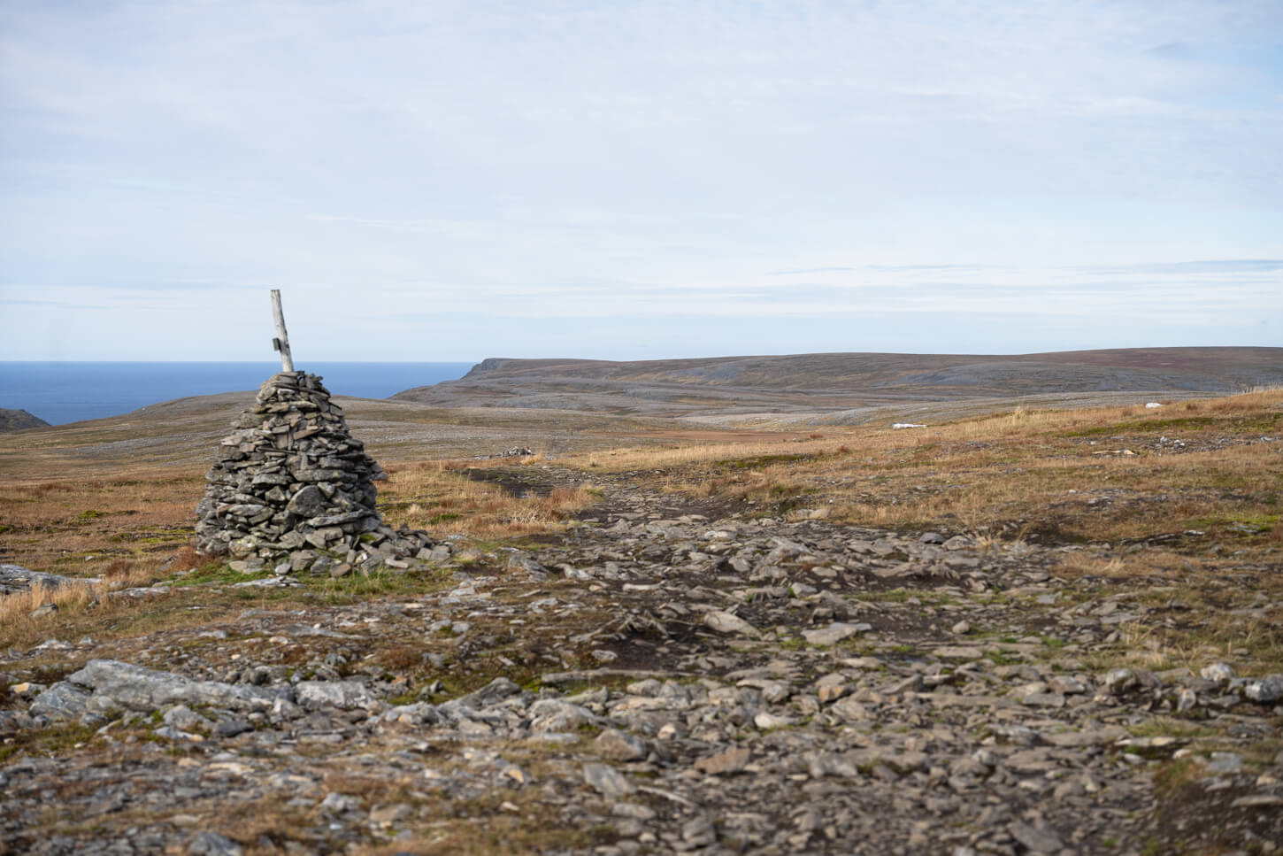
The first section of the trail is marked by large cairns, and red “T” painted on the rocks along the trail
From that one point onwards, the trail is mostly downhill. After the first rocky section, the trail will cross a boggy area with wood planks laid out across the worst of it. Approach them slowly, as they could be slippery
Initially, cutting through the tundra, the views will also slowly start to open up as you approach the coast. As the trail leads you down toward the coastline, you will have the first view of the “official” Nordkapp promontory about halfway through the hike.
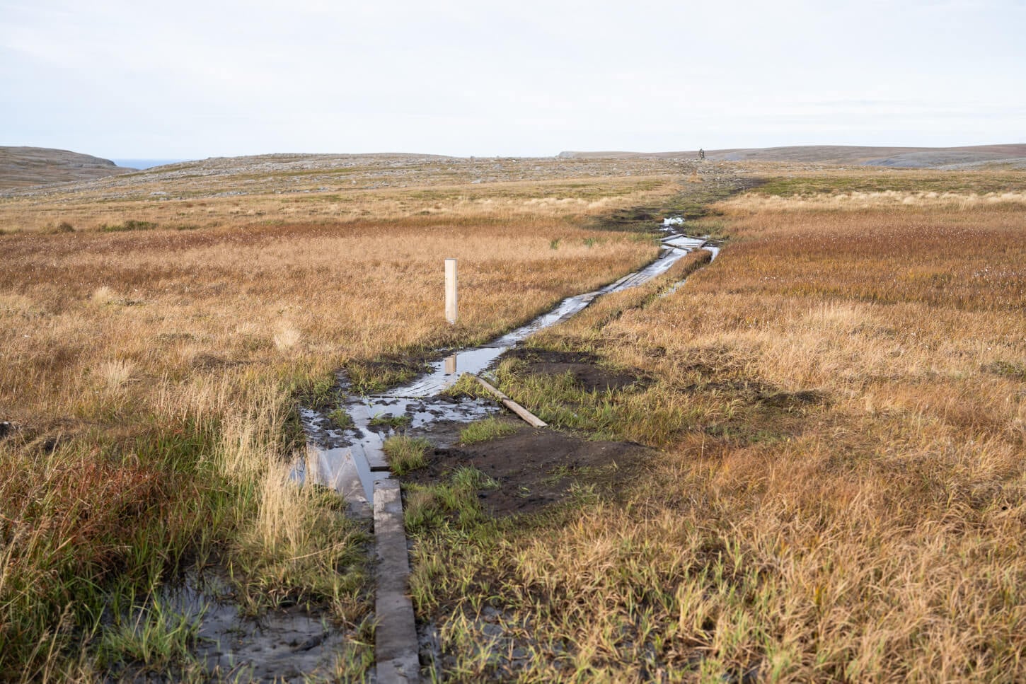
The trail alternates rocky sections to rather boggy ones.
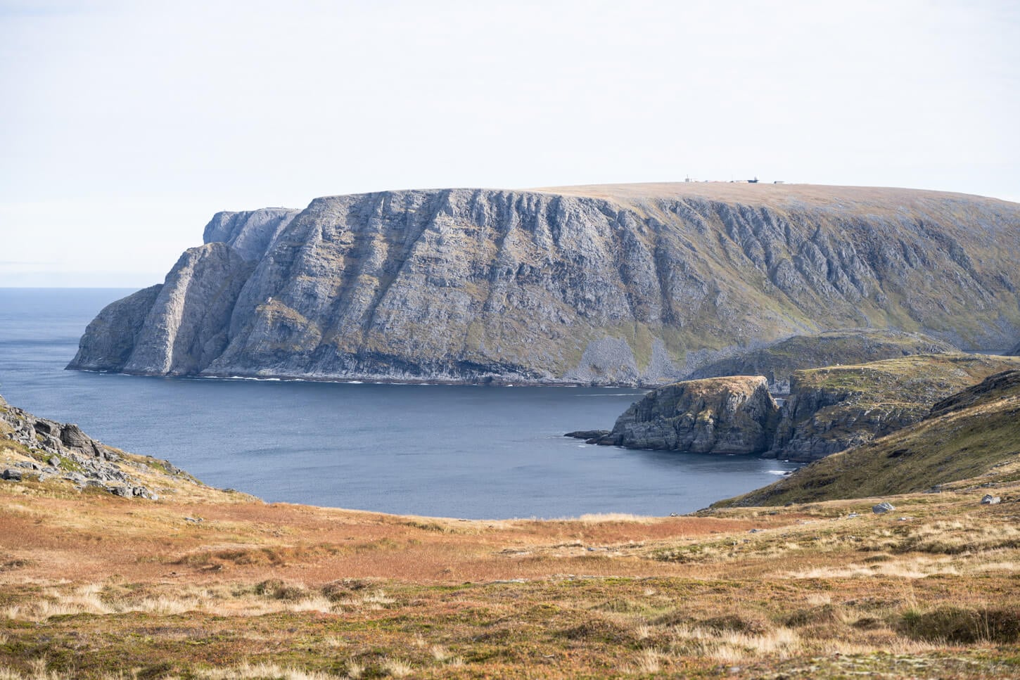
Half way through the hike, you gain the first views of the North Cape Plateau
Past this point, you will reach a relatively steeper downhill section that leads to the coast. It’s quite a rapid descent and, after crossing a grassy field, you will reach another section of bare rock.
This is the last stretch, the one that leads to the northernmost point. There are a few small crevices you will need to cross in between different bare rock sections, which can also be slippery. Here, you already have good views, perhaps the best views of the Nordkapp promontory to the East.
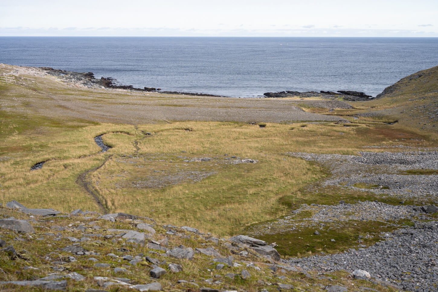
Toward the coast, the trail loses elevation gain
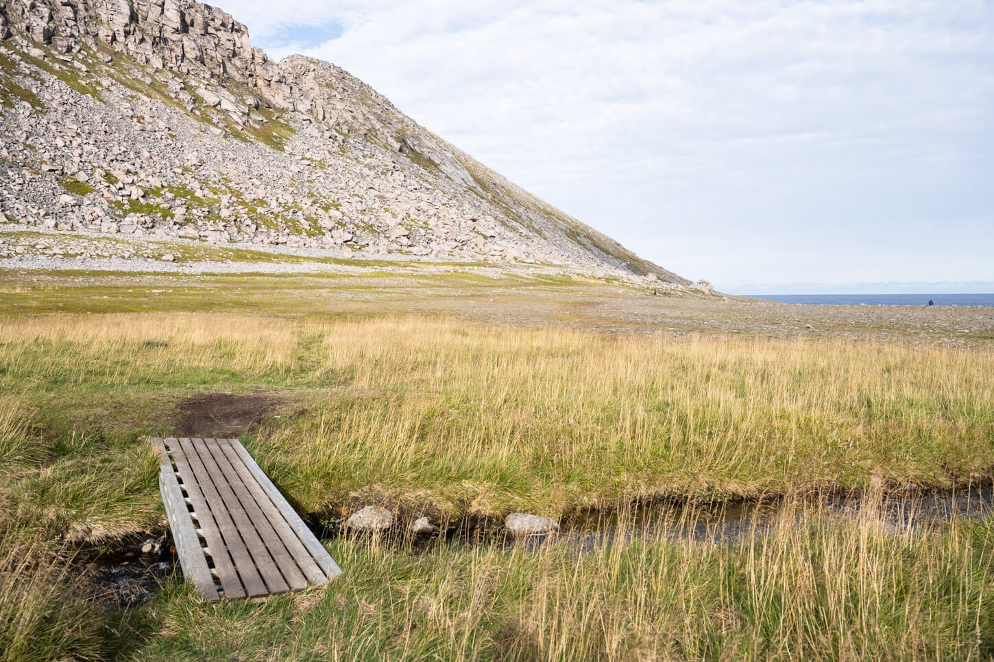
As it approaches the shoreline, the trail follows the coast northward
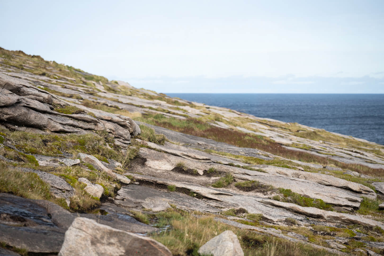
The last bit is mostly on bare rocks, which could be slippery when wet
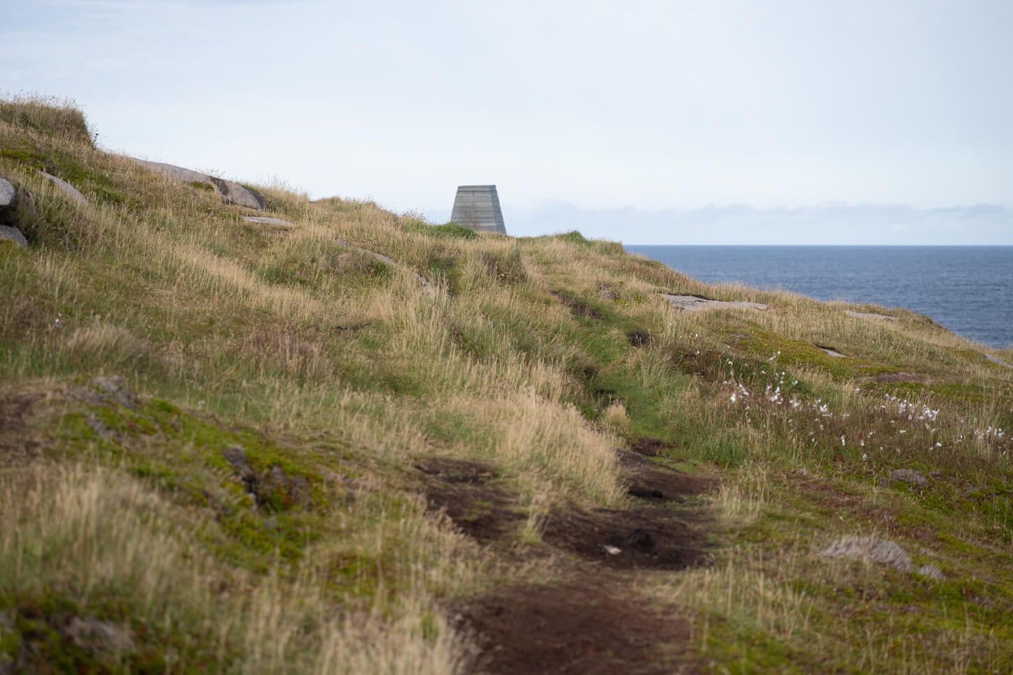
Cairn marking the Knivskjellodden end point of the hike.
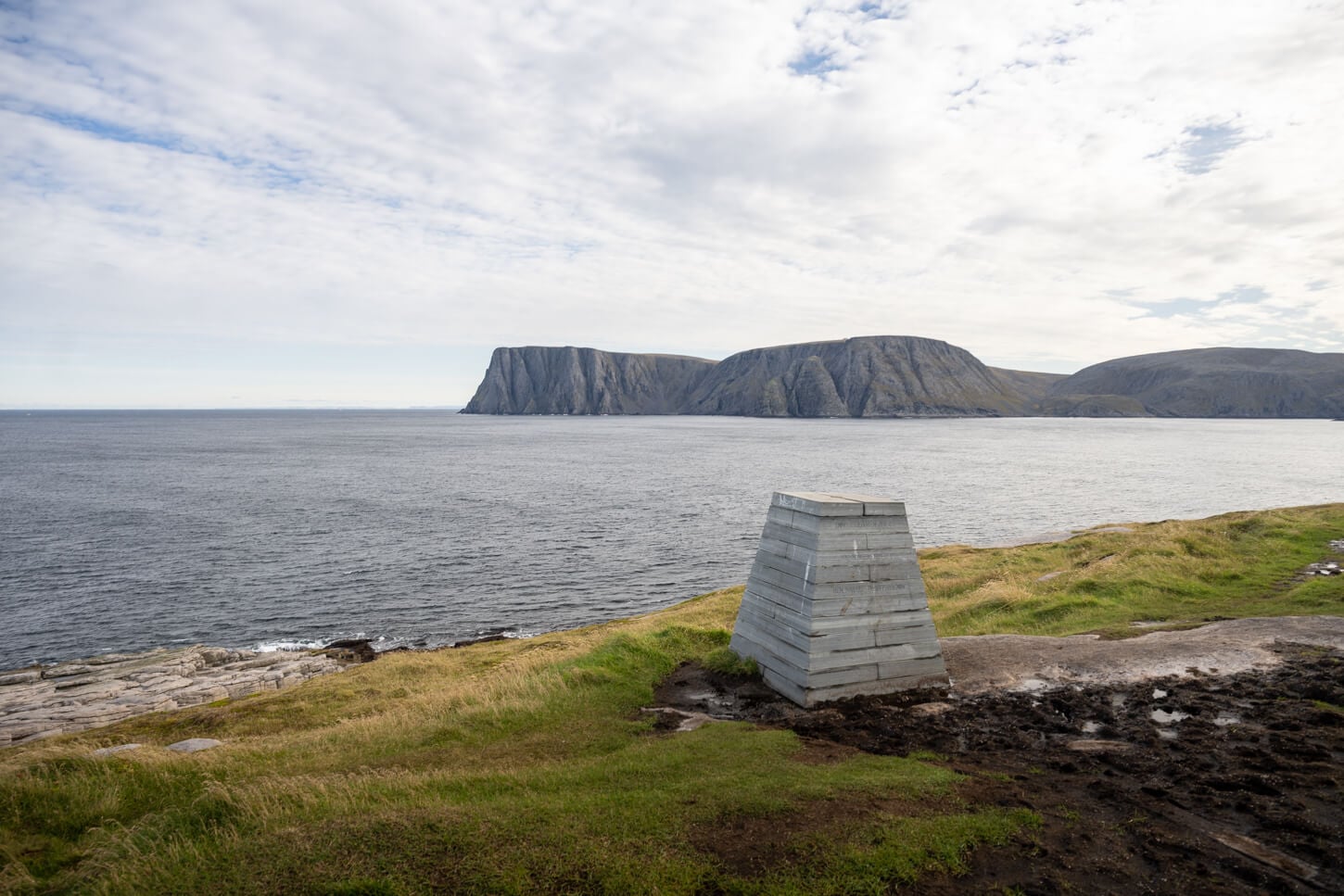
View of the North Cape Plateau, in the distance.
However, it does not take long to reach the end of the small peninsula, where the views in front of you extend all the way to the horizon, beyond which lies the north pole, some 2000 km farther north.
It’s quite a grassy Area, and the cliffs of the North Cape promontory on the other side of the bay dominate the view. There were also a couple of seals swimming around the shores of Knivskjellodden.
Then it’s back up the same way. It’s a little more tiring to get back, as you have to recover all the elevation gain lost to hike down to Knivskjellodden’s shores.
Knivskjellodden and North Cape Photos and Photography Guide
Here are a few photography tips for the area, both Knivskjellodden and North Cape.
Framing the Sea Cliffs & Midnight Sun
First and foremost, this is a prime spot to see and photograph the midnight sun. Also, the most popular time of the year to visit. With the sun low on the horizon to the north for a few hours, both locaitonsare good options, though perhaps purely for the midnight sun, the North Cape Plateau is the best option. To be fair, I visited in September, but that’s where I would be for the midnight sun. I’d hike to Knivskjellodden in the late afternoon to catch the warm sidelight on the north cape promontory, then hike back and drive to North Cape for the Midnight sun. Sleepless night, essentially.
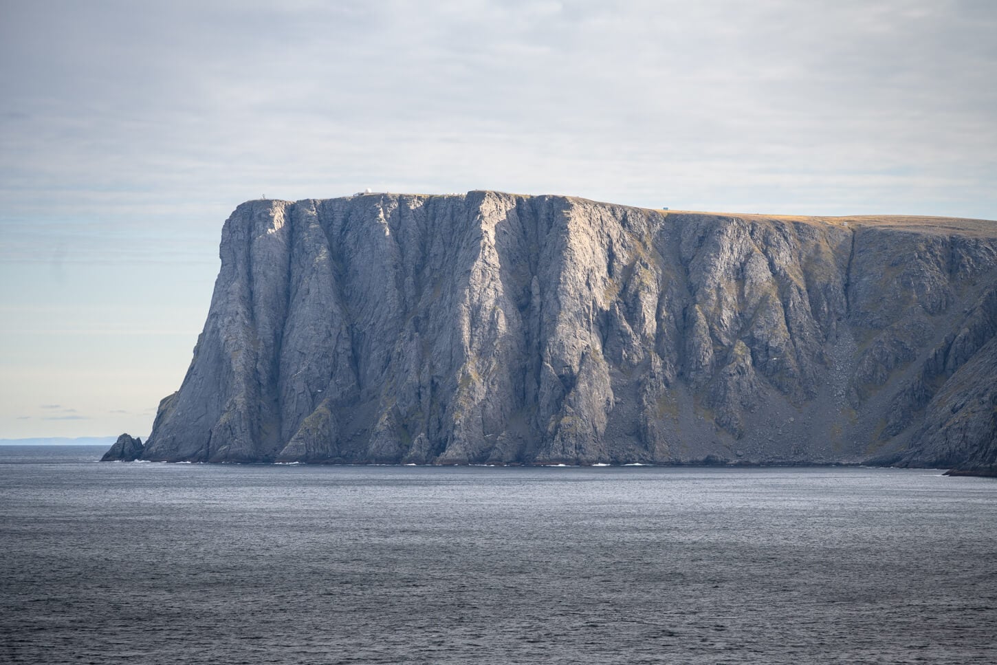
From Knivskjellodden, in terms of landscape, the North Cape Cliffs are the main highlight. They are hard to render properly, and they are best seen in person. Again, specifically for landscape photography, I’d recommend being there in the late afternoon/evening, when the sun is low on the horizon.
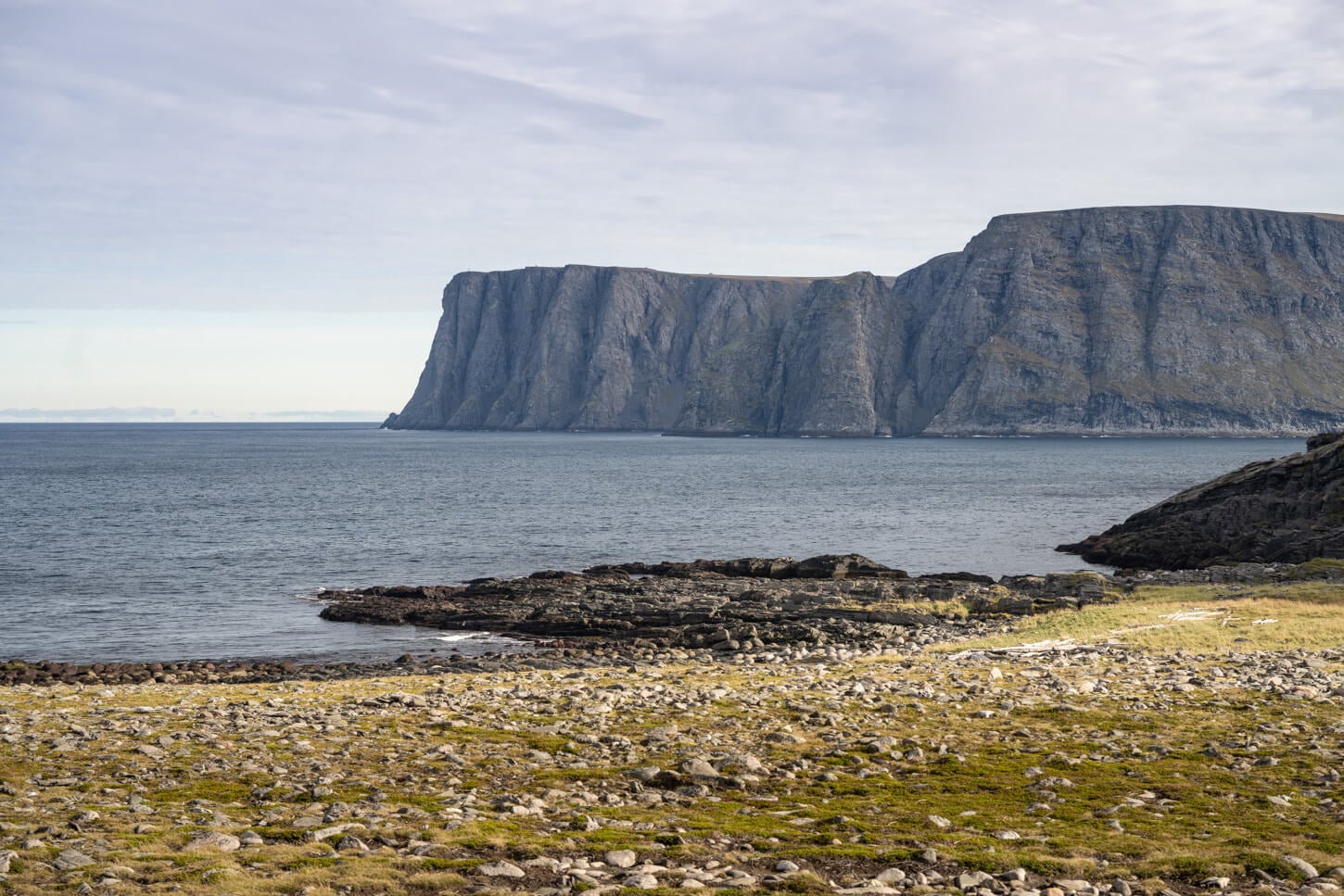
North Cape, viewed from the Knivskjellodden Hiking Trail
Arctic Wildlife & Reindeer Safety
The area around north cape and Knivskjellodden in general is also full of reindeer, which means good opportunities to photograph them. Reindeers in the area also seem to be more accustomed to vehicles and human presence and can get quite close by themselves.
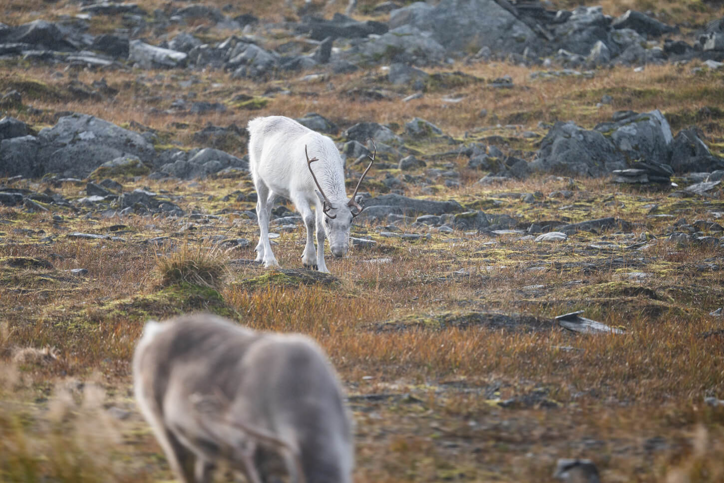
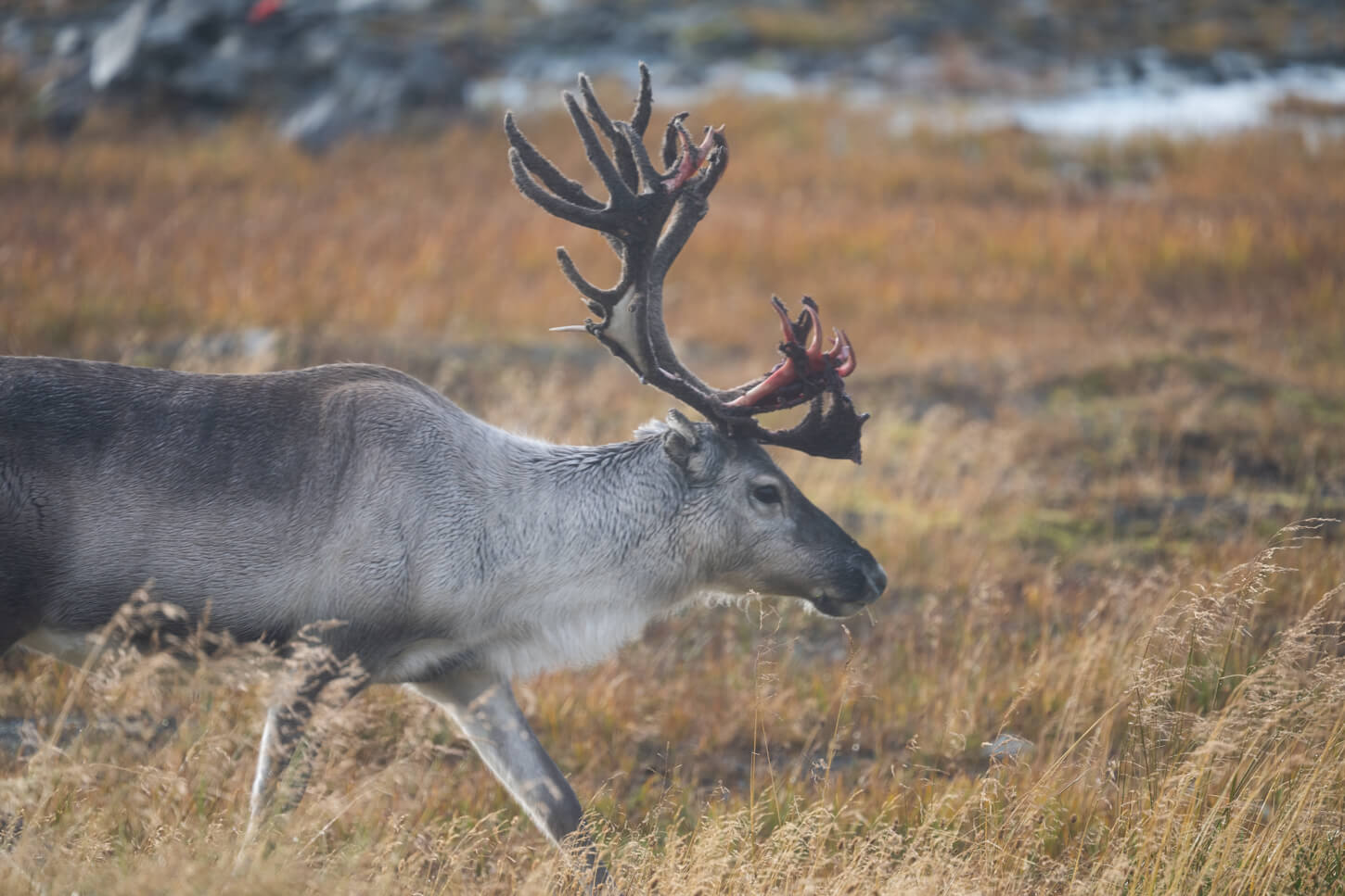
Do not try to approach or pet them, though. They are someone’s livestock and not really wild, and don’t want to scare them around. Females with cubs will try to protect them, and bulls may be triggered to protect if you are too close.
Watch out for them, especially if they are grazing on the roadside. Herds can suddenly cross the road, or sometimes just hang around in the middle of it. Good occasion to (safely) stop for a photo or two.
September Auroras & Low Sun Angles
Then also Northern lights. The Nordkapp promontory is a prime spot for northern lights viewing. Sure enough, I got my display too. At 71 degrees north, even low activity can mean. nice aurora displays, provided the skies are clear enough.
To be fair, there is a lack of foreground options. After all, it’s the bare Arctic tundra. Though it’s also a minor problem if your primary goals are the northern light, and you can make it work with what’s available.
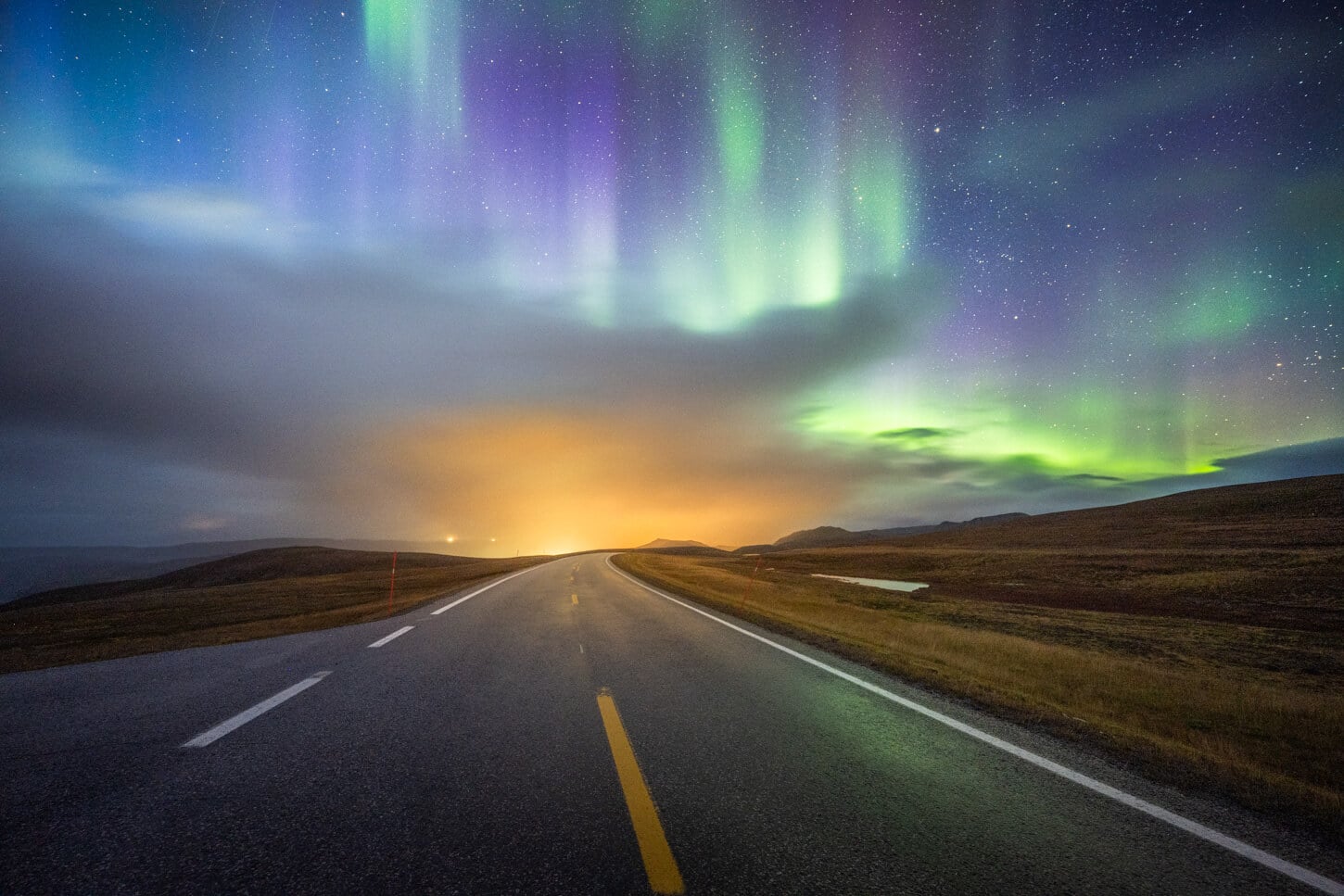
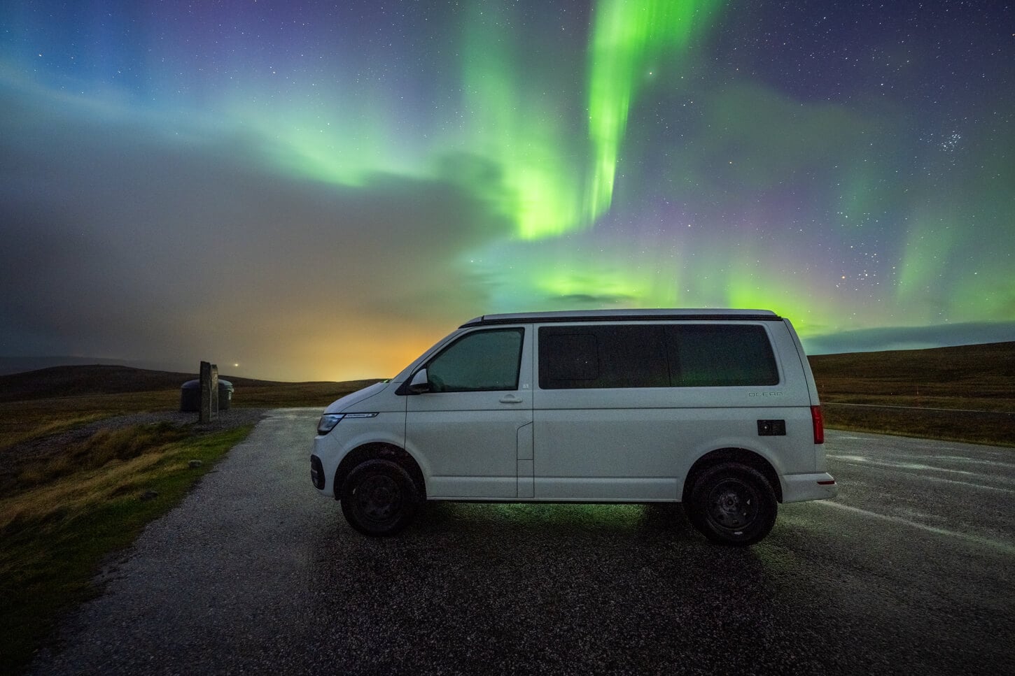
Even if the weather forecast shows passing showers, it’s worth spending a few hours at night. At these latitudes, the weather changes fast, and that often means clear skies in between passing showers. And you want to be ready for that break in the clouds, if your goal is to photograph the northern lights. If that’s the case, you may also want to check out my guides on How to see the Northern Lights and How to Photograph them.
Visiting the Official Nordkapp Plateau
And with Knivskjellodden already covered, here are a few tips on visiting North Cape. It is on many people’s bucket lists, and it’s one of the most popular midnight sun destinations. And from there, again, lies the Arctic Ocean.
Planning a trip to the North Cape & Getting There
In most cases, visiting north cape will require both commitment and planning well in advance. After all, it is the Northernmost point in continental Europe and it is a remote location. It’s a lot of driving and a very long trip.
What’s nice about it is not the fact of being at the northernmost point of the old continent. It’s the trip that gets you there. Seeing the landscape changing before your eyes, and the raw Arctic landscape and its ever-changing and sometimes brutal weather. It’s one of those lifetime trips.
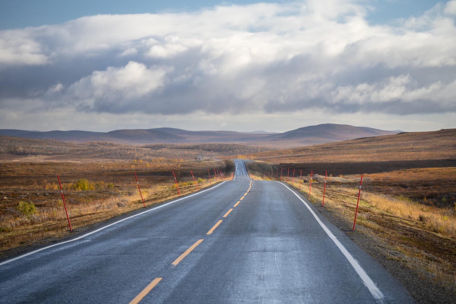
If you are driving, it will likely take a week or two to get there. Unless you are flying to Tromso or Alta and renting a car there to drive up. From Alta, it is a relatively “short” drive, at 235km, or 146 miles. Driving time, realistically, is going to be at least four hours, one way. So best to allocate two full days.
However, it could be done as a spontaneous trip under certain circumstances. That’s what I actually did. I was already in the Lyngen Alps area, but the weather in the immediate vicinity wasn’t cooperating. Looking for spots to go to within my van, North Cape was the only one with decent weather. So from the Lyngen Alps, I committed to a three-day impromptu trip to North Cape.
You could easily do it too if you are in a van or RV. Or with a rental car, assuming you have a flexible itinerary.
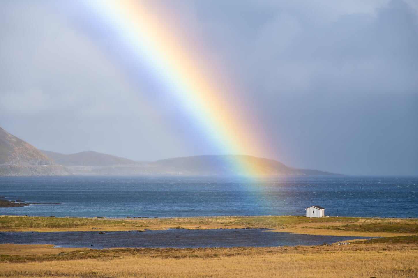
The road trip to Nordkapp provides an endless stream of beautiful impressions.
Visitor Center Fees & Parking Rules
While visiting North Cape is free, there’s a pricey visitors center, 360 NOK per person at the time of writing, which gives access to the facility, shops, resturants and a museum. Parking is limited to 6 hours, also free, but it’s closed from 1 AM to 7 AM, and overnight stays in the parking area are prohibited. So you can skip the visitor center if you want to, and freely walk around the area.
Nordkapp Viewpoint & Cliffs Views
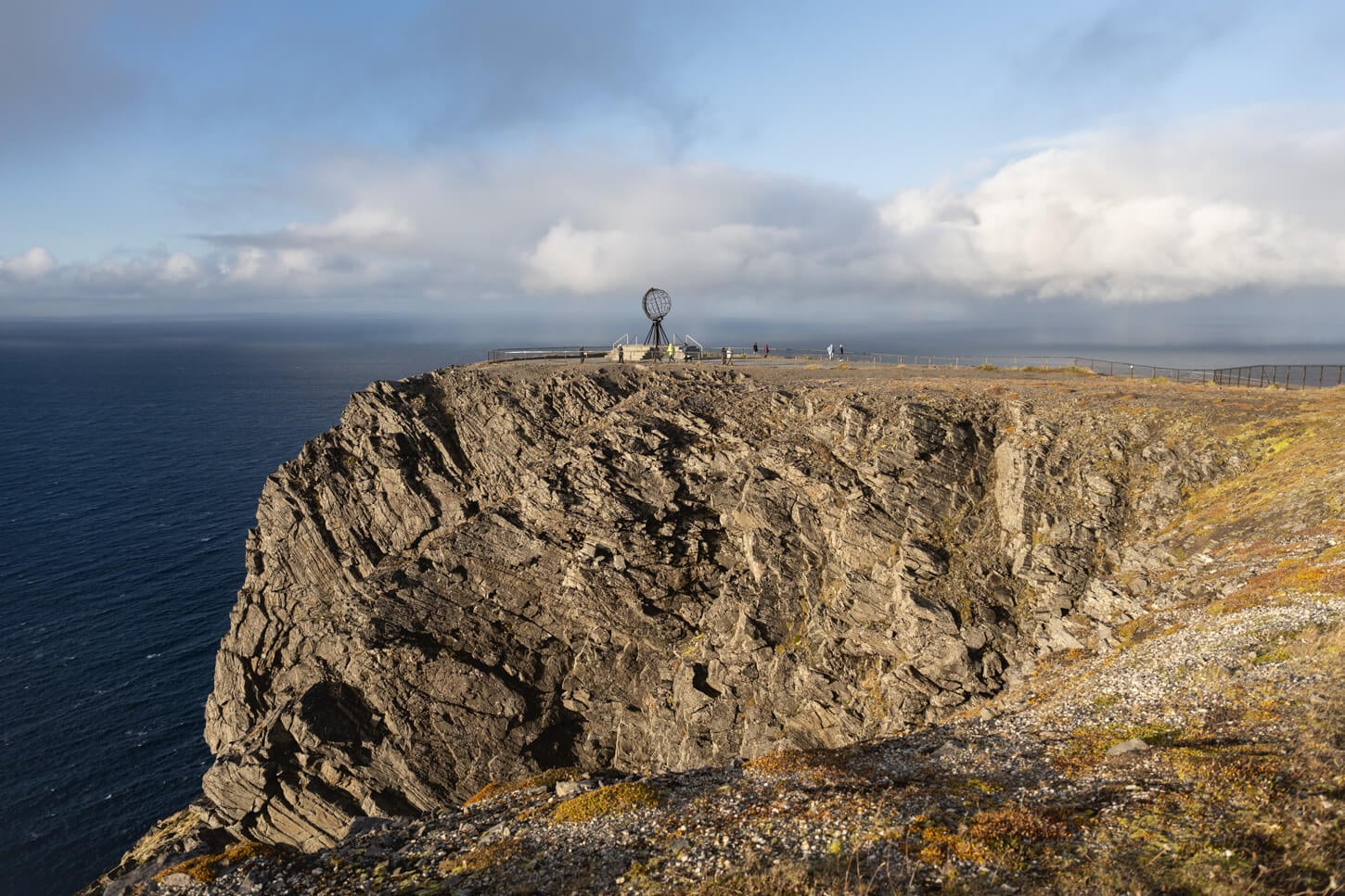
Here’s a brief overview of what to expect at the “official” North Cape location. There is a gigantic parking area, a pricey visitors center, and the Nordkapp Monument. All are situated atop 300-meter-tall and rather large sea cliffs.
There aren’t any real trails on the Nordkapp plateau, but you can walk around the cliff’s edge. The Cliffs are about 307 meters high (1,007 ft) and drop vertically into the sea. So the views are quite impressive. On a clear day, you can see the multiple layers of peninsulas both to the east and to the west, plus, of course, the completely unobstructed open views of the sea to the north.
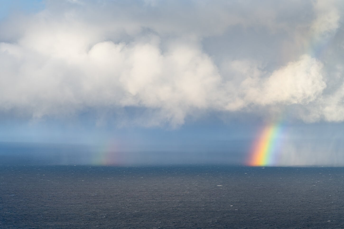
It can be an extremely windy place. That kind of wind that blows the warmth out of your body in an instant. Even with a windproof jacket. In changeable weather, and with the open views of the Arctic Ocean in front of you, you can watch weather systems alternating before your eyes. Quite amazing to see
The area around the globe monument is a popular spot to take a “memento” selfie. The monument itself it’s much bigger than it looks in the photo, or at least the way I imagined it.
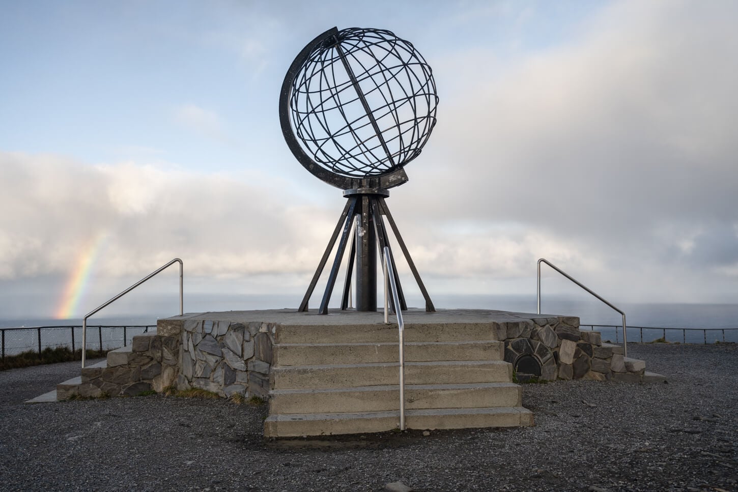
The Nordkapp Globe Monument
Scenic Road Trips Detours
On such long drives, if you want to stretch your legs with additional stops along the route, here are a couple of them. These posts are popular locations to visit while driving to the North Cape. I visited both, too, along with the “Official” Nordkapp on day one of the visit. Then I hiked to Knivskjellodden the day after.
Trollholmsund
This is a series of bizarre dolomitic rock formations, which require a detour from the main road to Nordkapp, about 40 minutes away, plus a 2.3km hike to reach them. And yes. It’s dolomitic rock, a type of rock that was named after a type of rock in the Dolomites.
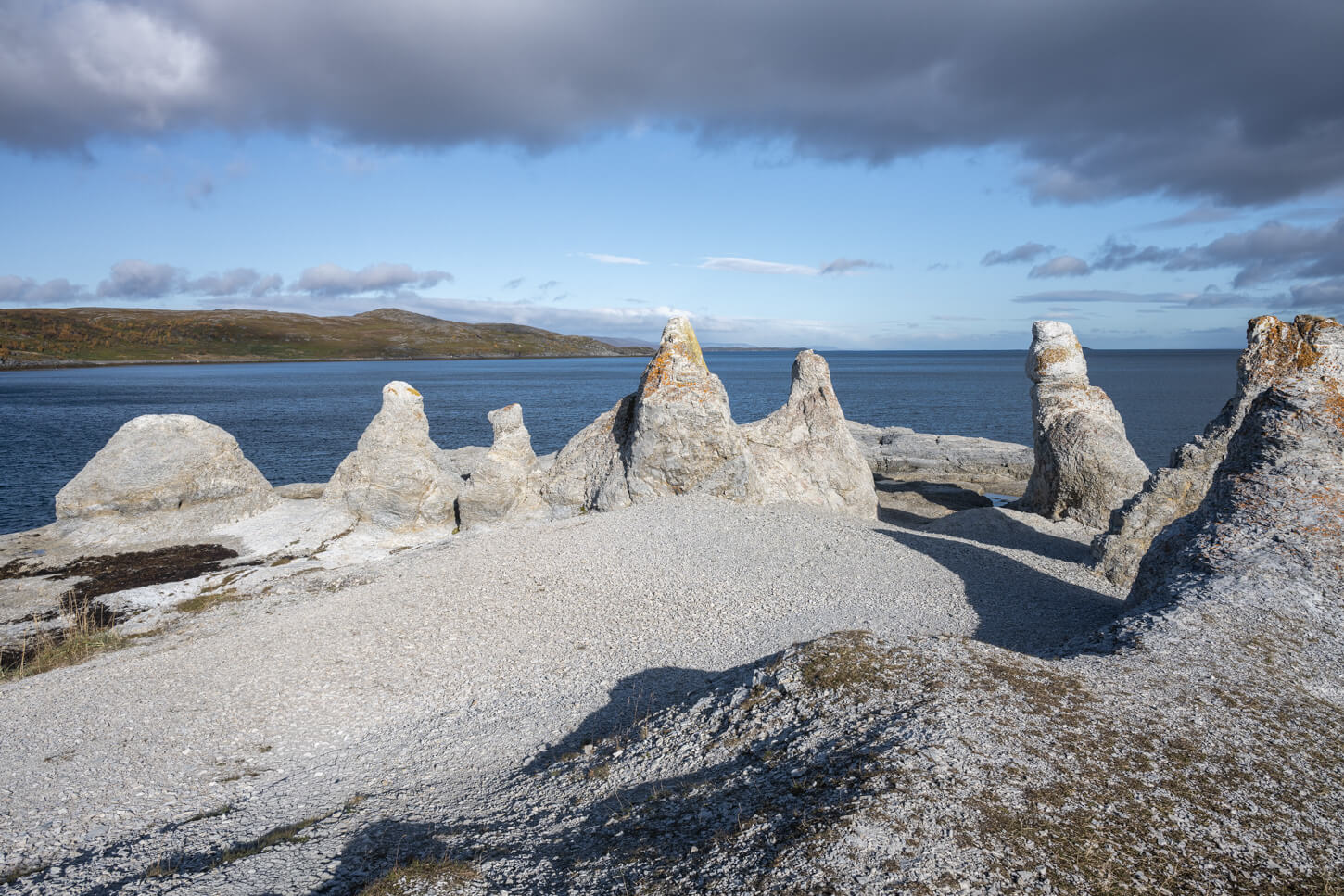
Trollholmsund, rock formations of dolomitic rock.
The Sami legend has it that these are trolls that were turned into stone as the morning sun rose. As it often happens with troll legends across the Arctic and sub-arctic regions, trolls have to hide before the first morning lights hit, otherwise they’ll be turned to stone. These guys obviously did not make it.
Legend apart, they are quite unusual rocky formations, and an interesting curiosity to see. To be honest, though, I am not entirely sure if they are worth the two hours or so detour they require between driving and hiking to the coast.
You can view the hike on the map and download the GPX file here.
If I were only to pick one of these two spots, I’d pick Kirkeporten, the next one.
Kirkeporten in Skarsvåg
This is another quite bizarre rock formation. An arch made of different sedimentary rock layers. Arches of this shape are not totally uncommon along coasts or in the mountains, but the multiple layers of thin rocks that created this are, is an additional layer of unusual.
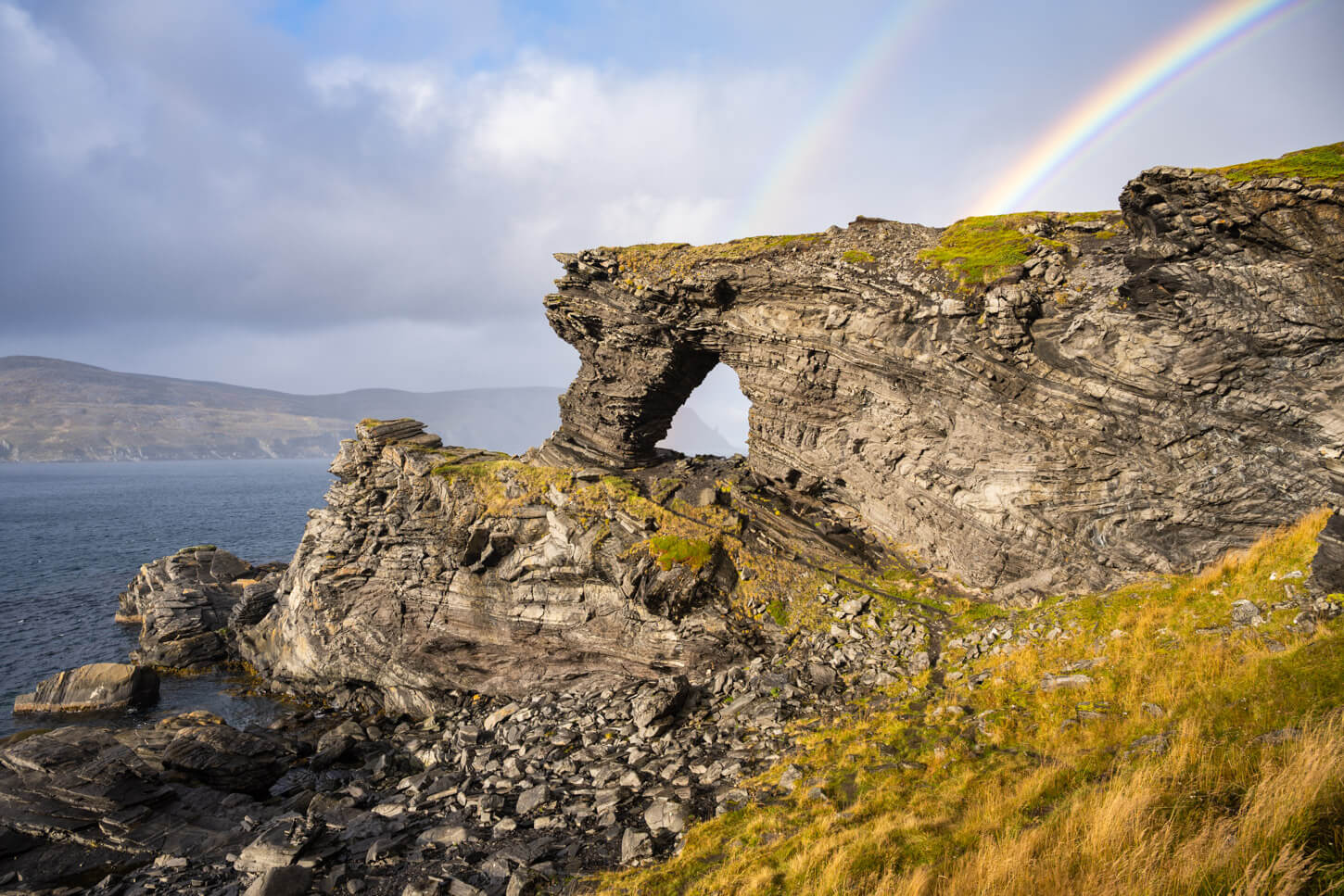
Kirkjeporten, a short hike from Skarsvåg, about 2km out and back.
Kirkeporten literally means “Church’s door”, and it does resemble some sort of gate or portal you can cross. It’s a short hike, about 30 minutes in total, over approximately 2km, out-and-back from Skarsvåg. It involves more elevation gain than Trollholmsund. Nothing exceptional, at just about 230 m in total. Definitely well worth the short hike.
You can view the hike on the map and download the GPX file here.
More Hikes Farther South
If you need to build an itinerary from farther south, Tromsø, for example, I can recommend a few places to visit on your way north. In the Lyngen Alps, the Steindalsbreen Glacier or Blåisvatnet. then Farther North, the Gorsa bridge and Waterfall, and the Alta Canyon or the Orvvosfossen waterfall. These are great hikes to experience the changing landscape on your way to North Cape.
for even more hikes on the way north, you can visit my main “Hiking in Norway” page.
Where to Stay
Needless to say, this is a very remote area. While there are no accommodation types available vicinities, there are plenty of options along the way, from Hotels to guesthouses and Sami campgrounds. Most of them are concentrated around Honningsvåg and Skarsvåg.
In terms of camping is not possible to overnight at Nordkapp with a van, RV, or otherwise. At the time of writing, the max parking time is 6 hours. If you are in a van or an RV, you could spend the night at the trailhead parking area, or at this other rest area farther south, which offers quite a view. That’s also where I spent the night after the hike.
In a tent, you can of course camp in the area according to the Allemannsretten rules.
Additional Resources
- Discover more Scenic spots and Hikes in Norway.
- Here is the Visit Nordkapp Official website.

Leave A Comment