Hiking in Chile: A Land of Deserts, Mountains and Glaciers
Chile has long been on my list of countries for both hiking and landscape photography. And, I’m sure, it’s on the list of many others like me. Just by looking at it on the map, you could spend countless hours scrolling through and zooming in on its varied landscape from north to south.
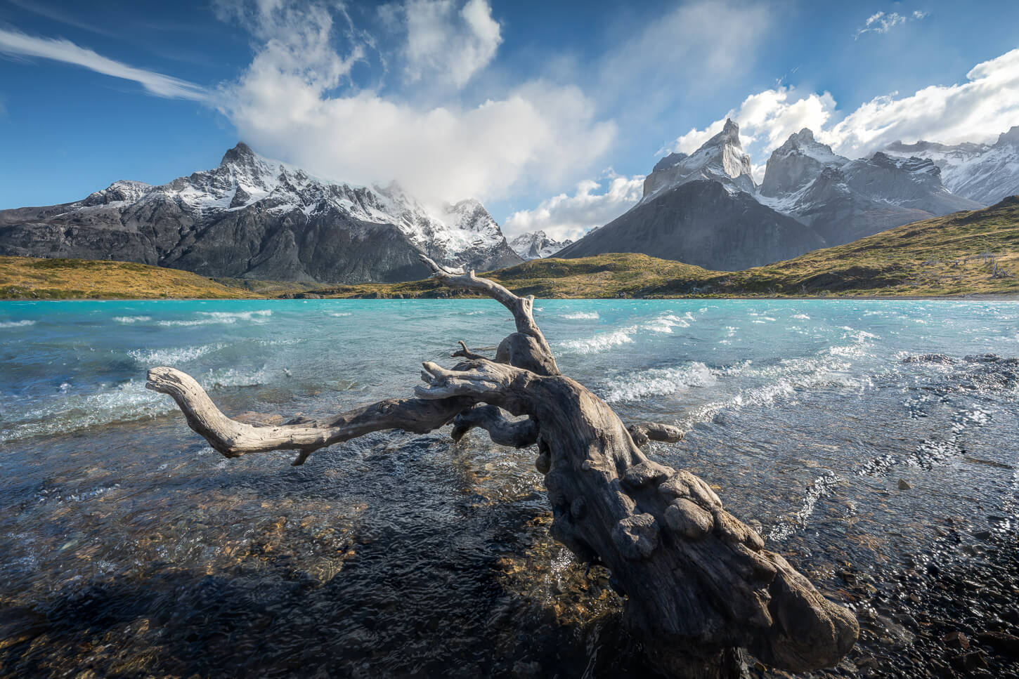
Torres del Paine
Beyond Torres del Paine, one of its most popular locations, Chile offers a virtually endless collection of amazing landscapes. Desert in the north, temperate lake and volcano country in the center-south, then glaciers, mountains and steppe in Patagonia, which covers about 30% of Chile’s Territory. Few countries pack that range of landscape features.
With a length of 4,300km (2,670 miles) from its northern border down to Cape Horn and an average width of 177 km (110 miles) with much wilderness, it’s a country that’s best tackled one region at a time. Unless, of course, you can spend a few months driving across the country. No shortage of epic locations, well-known and lesser-known ones.
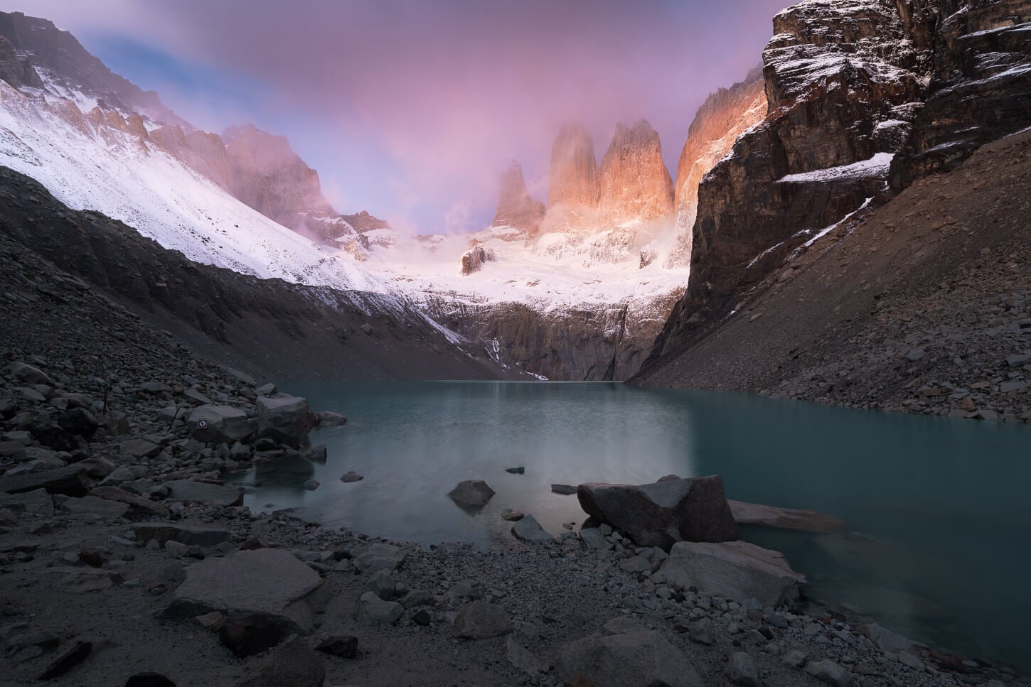
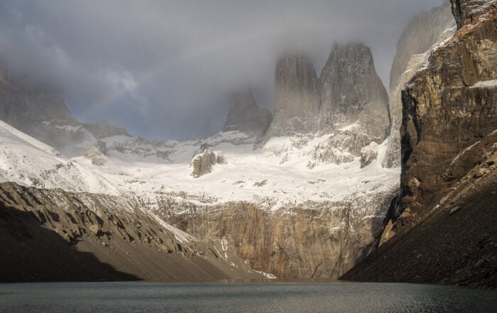
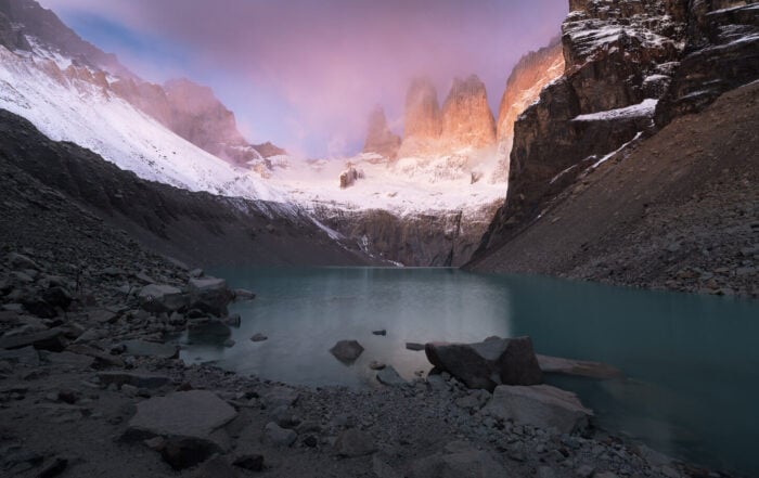
Mirador Base Torres – Torres del Paine, Patagonia.
The Best Hikes and Photo Locations in Chile
One region at a time is also how I am planning my hikes and photo trips in Chile. I visited for the first time in 2026, and I am planning to keep visiting for years to come. So here is a list of the best hikes and photo locations I explored so far.
As I only write about locations I have already visited, I will update this with more locations too.
In the meantime, if you are planning your own trip, you can use the pins on the map below to discover each location. And each pin on the map redirects to its dedicated post.
Why Chile
There are about 10,761 individual mountains with a name, more than 24,000 glacier masses, and about 2,000 volcanoes, of which about 500 are considered active. Hundreds of fjords and glacial channels. And, of course, the deserts, the Atacama in particular.
At the time of writing, Chile has 42 national parks too, and more than 8,500km of mapped hiking trails. The reality is, however, there is much more to discover. Barely visited locations like Torres del Avellano in the Aysen region.
Or the stunning Ventisquero Colgante, a hanging glacier with one of the tallest waterfalls in South America. And many more hard-to-reach places.
But also, not to forget, its proximity to Argentina, another country that offers amazing landscapes, which you can easily include in a trip to Chile with a bit of planning. Visiting both Torres del Paine in Chile and Los Glaciares/El Chaltén in Argentina is how many approach the region and Patagonia for the first time. Myself included. And I can vouch for it; it’s a trip of a lifetime.
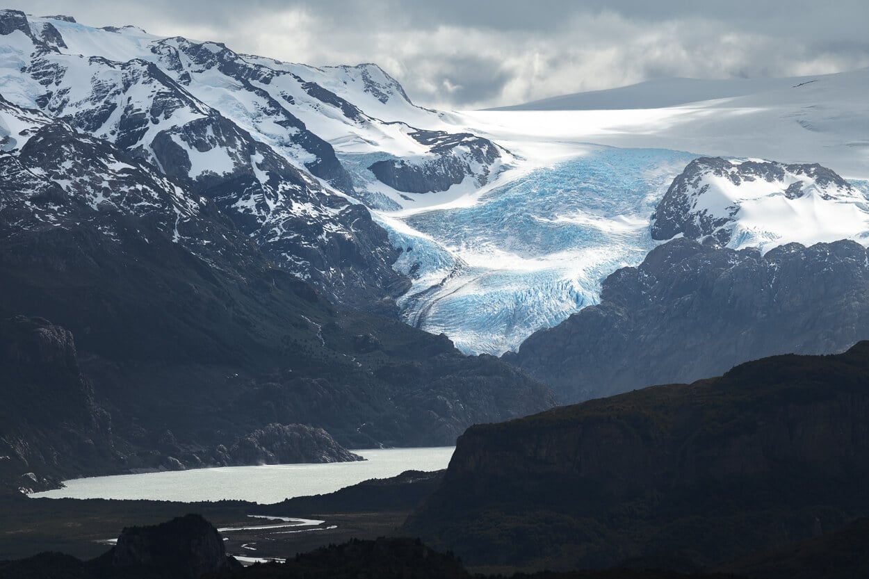
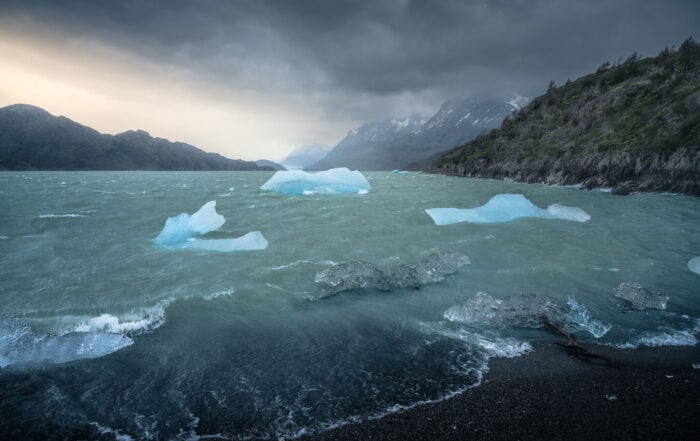
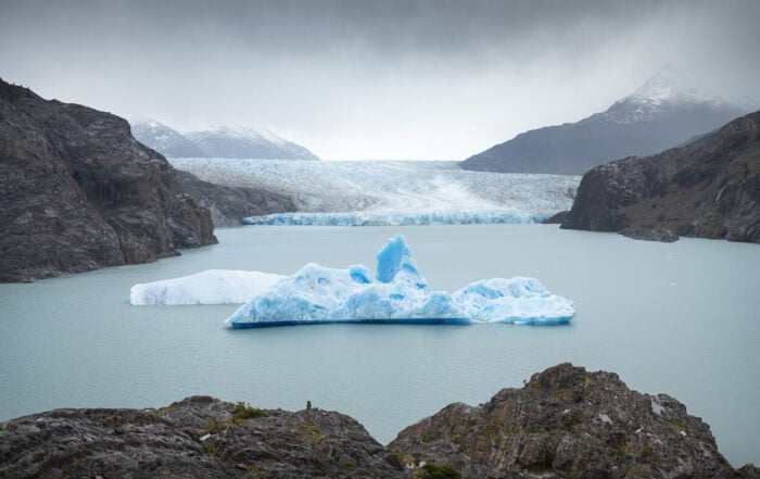
Pingo Glacier, Torres del Paine.
Getting around Chile: the Hard, Adventure part
This complex and variegated landscape also makes getting around a bit of a challenge. Just by looking at Chile’s map, you’ll quickly realize that logistics in Chile aren’t super easy. Especially if you are planning to travel from North to South, or vice versa.
The Carretera Austral, a 1,240 km, mostly gravel road connecting Puerto Montt to Villa O’Higgins, Began construction in 1976, was opened to traffic in 1988, and reached Villa O’Higgins only in 2000 (source: Wikipedia).
Then to go farther south, you need to cross into Argentina and back. For instance, Puerto Natales. Or fly, or via boat, like Puerto Williams, the southernmost town in the world. Yes, Puerto Williams, not Ushuaia, as the latter relies on the title of being a “City”.
However, such remoteness is also a big part of its attractiveness in a way. It requires careful planning and slow travel. Along this type of slow travelling, you can find many hard-to-reach locations, surrounded by the wilderness. And many places few people visit.
For this reason, and unless you have several weeks and months available, it’s best to focus on one region at a time, which is how I am planning to explore Chile’s hiking trail and its most scenic locations.
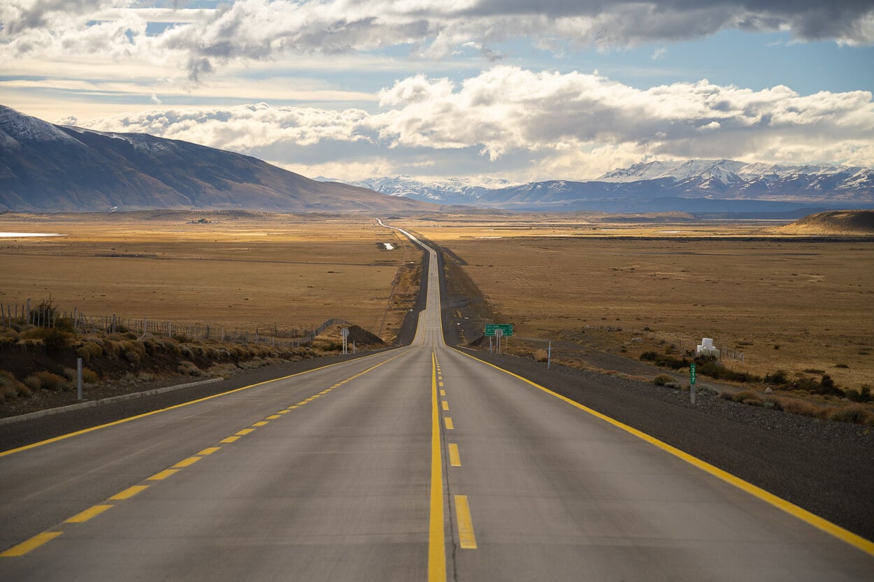
Combining Chile and Argentina in one trip.
As mentioned earlier, combining Chile and Argentina in the same hiking or landscape photography trip is a popular option. I did it too, as it is especially popular to visit Torres del Paine in combination with Los Glaciares (El Calafate and El Chaltén), as a first-time trip to Patagonia.
Other regions too, for instance, Ushuaia in Argentina with Puerto Williams and the Dientes de Navarino Trek. Or Bariloche and the Chilean Northern Patagonia.
There are a few things to be aware of, though, to make sure you are not caught by surprise.
- Cross-Border Permit for the rental car: The first thing to do is to ensure you rent a car with a permit to drive the car in another country. This can be requested from your rental car agency at least one week to ten days in advance, and it comes at an extra cost.
- Customs checkpoints opening hours: Border crossing is also something that requires some time and can only be done during the opening hours of the Checkpoints on each side of the border.
- Chile’s PDI: Each time you enter Chile, you’ll receive a PDI ticket. You’ll need to give it back at the border each time you leave, so don’t throw it away.
- Bringing food in: Chile has strict regulations, and you can only import some “commercially packaged, unopened types of food, and all have to be declared in advance. If in doubt as to whether you have “unallowed” foods with you, put yes on the entry form (you can fill it in in advance here). More info on SAG’s official website. Get familiar with the rules, as genuine mistakes could also lead to fines.
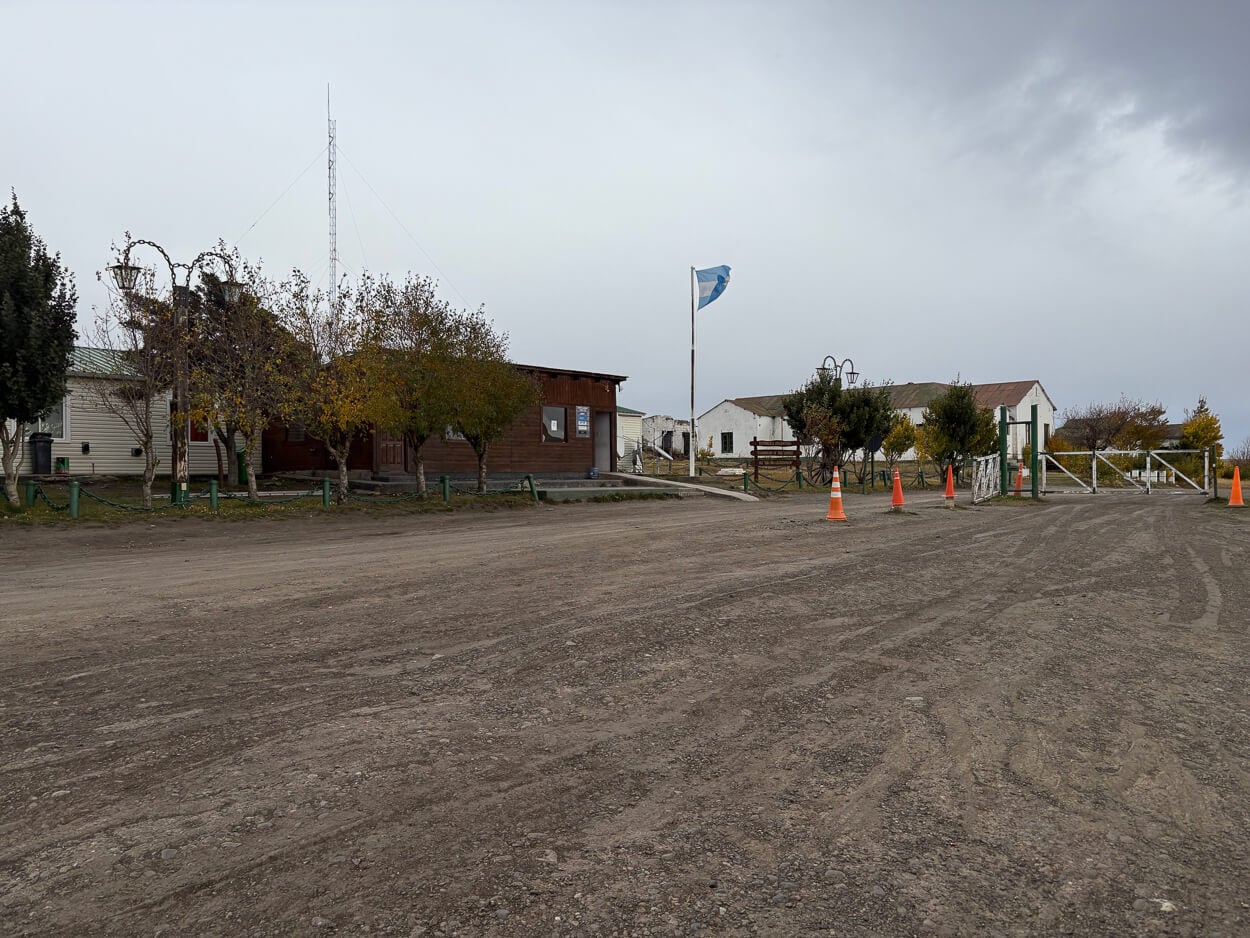
Paso Río Don Guillermo, entering Chile from Argentina. Border crossing by car requires time and planning.
Regions, Types of Landscape, and When to Go
Here below you can find a list of regions I have identified for my own trips, and when to go. Some I have already visited, like Torres del Paine; some I will visit in 2027 (Northern and Central Patagonia); some in 2028 (more of Southern Patagonia). And beyond – if you read my about page, this is pretty much my type of travel: visiting a few countries repeatedly to get to know them better, rather than continuously country-hopping.
Torres del Paine is a common first area to pick if you are visiting Chile for the first time. I did so too, and if you are into scenic hikes, it’s hard to beat.
If you are planning your own trips, hopefully this can give you a quick idea of what to expect from each region, for now. I will then expand the section with individual region clusters as I visit them in the coming years. I am planning to focus on the following in the coming years, in no particular order:
- Atacama Desert (North)
- Landscape: This is a high-altitude desert land, salt flats and a prime night sky/astrophotography location. And catching the golden hour on Valle de la Luna, a spot with very low humidity year-round.
- When to go: The dry season is fairly stable year-round, but visiting in the shoulder season helps avoid the summer tourist crowds, a period that lasts from December to February.
- Central Andes / Northern Patagonia — Lake District
- Landscape: A varied landscape, with Volcanoes (Villarrica, Osorno, Chaitén), glaciers, forests, and lakes. Also, the Cochamó Valley, known as the “Chilean Yosemite”.
- When to go: Chilean summer, December to March, offers the best access to hiking trails in the region, with volcanoes often keeping their summit snow-covered into the early summer. A bit of extra “character” in landscape photography, as far as I am concerned.
- Central Patagonia & the Carretera Austral (Aysén)
- Landscape: This is a land of temperate rainforests and deep fjords mixing with glaciers. The Pumalín and Queulat national parks, alongside Cerro Castillo and Valle del Avellano. It’s a less touristed area compared to others, due to its harder logistics.
- When to go: This region has a narrow access window roughly from November through March, and it’s tied to unpredictable weather and ferry schedules, like the Hornopirén ferry that requires advanced booking.
- Southern Patagonia (Magallanes)
- Landscape: Torres del Paine, or the “big” trekking destination featuring the W Trek and the O Circuit. This is probably one of the most popular locations for Hiking and Landscape photography in Chile, and the one many visit first, same as I did. Plus the Bernardo O’Higgins National Park, Cabo de Hornos, and further south, Puerto Williams and the Dientes de Navarino trek, the southernmost trek in the world.
- When to go: Being deep in the Southern Hemisphere, November–March is the high season, offering long daylight hours and the easiest trail access, though it is also the windiest and most crowded. Shoulder months (October, April) trade some infrastructure and potential trail access for better light and fewer people. Winter also brings strict regulations: for instance, CONAF requires guided access on the Base Torres trail from late April through August, and parts of the circuit routes face seasonal closures. And, if open, they can be closed suddenly due to “adverse” weather conditions. “Adverse” is a euphemism, as even in summer things can quickly turn lethal, as this unfortunate O Trek story from November 2025 shows.
And don’t forget the mythological Easter Island. Much of this is just what I’m planning to slowly focus on for the next few years. However, there is much more, but realistically the most remote areas can only be safely accessed with local guides and boat tours and require more extended trips. For example, the De Agostini, Yendegaia or Kawésqar National Parks.
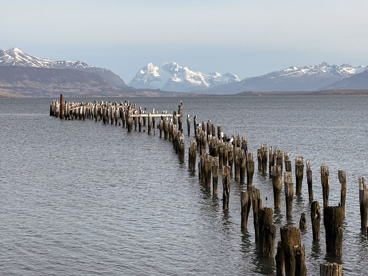
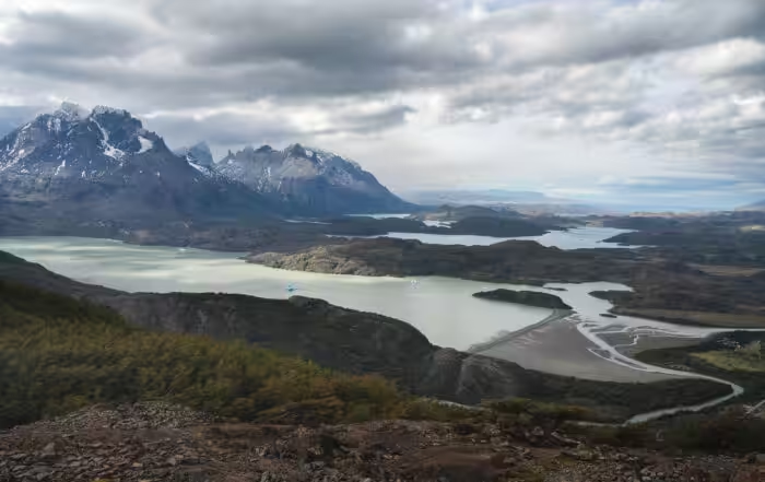
You can find endless views of hard-to-reach mountains and glaciers throughout the country.
Hiking in Chile: does a right to roam exist in Chile?
A safety and security note I felt compelled to add is about, or lack of, the right to roam in Chile. There’s none in the mountains. This may come as a surprise if you come from a regions when that is either given for granted, or some type of access to foot traffic is granted.
However, like Argentina, Chile does not have a European-style “Right to Roam” (derecho a la libre circulación). Private property boundaries are strictly enforced, and landowners have the absolute legal right to fence off mountains, valleys, and forests. If you cross a fence onto an Estancia or private timber land in Chile, you are legally trespassing.
So yes, you will be trespassing too if you jump off a fence or cross a closed fence. Or even to hike up to a viewpoint on uncultivated land, if it is private property. And, unless it is a national park or established hiking area, it is likely to be private property. The only way to gain access to those areas would be to obtain permission from the land owners.
For completeness, I should note there are some grey areas and differences around accessing riverbanks and beaches, but these are outside of the scope of this site, since they do not apply to mountains, forests, or open land. I’d still recommend researching the topic if you are planning to gain access to those areas.
Official Resources to Plan Your Hikes in Chile
There is a wealth of resources online to plan your own hikes and explore Chile’s hiking trails, across several different official websites.
They are, however, quite high-level in the description of each location. But they do provide a great, general overview and introduction to what’s available.
- CONAF, national parks authority, all permits/closures (Spanish only): conaf.cl and the park-specific site parquetorresdelpaine.cl.
- Pases Parques, official ticketing portal for protected areas: pasesparques.cl
- Chile Travel (national tourism board’s consumer site) and SERNATUR (the government tourism service behind it, in Spanish) for general destination info.
- Routes of Parks of Patagonia for an overview of the national parks in Chilean Patagonia
And finally, here is the list of the latest posts.