
Mondeval Plateau Hike (and Mount), Dolomites, Italy
The Hike to the Mondeval Plateau is one of the lesser-known, but no less scenic, hikes in the Dolomites. Directly accessible from Passo Giau, the plateau is a less crowded option compared to other trails in the area. However, the views are none the worse, and it feels more like a primeval location.
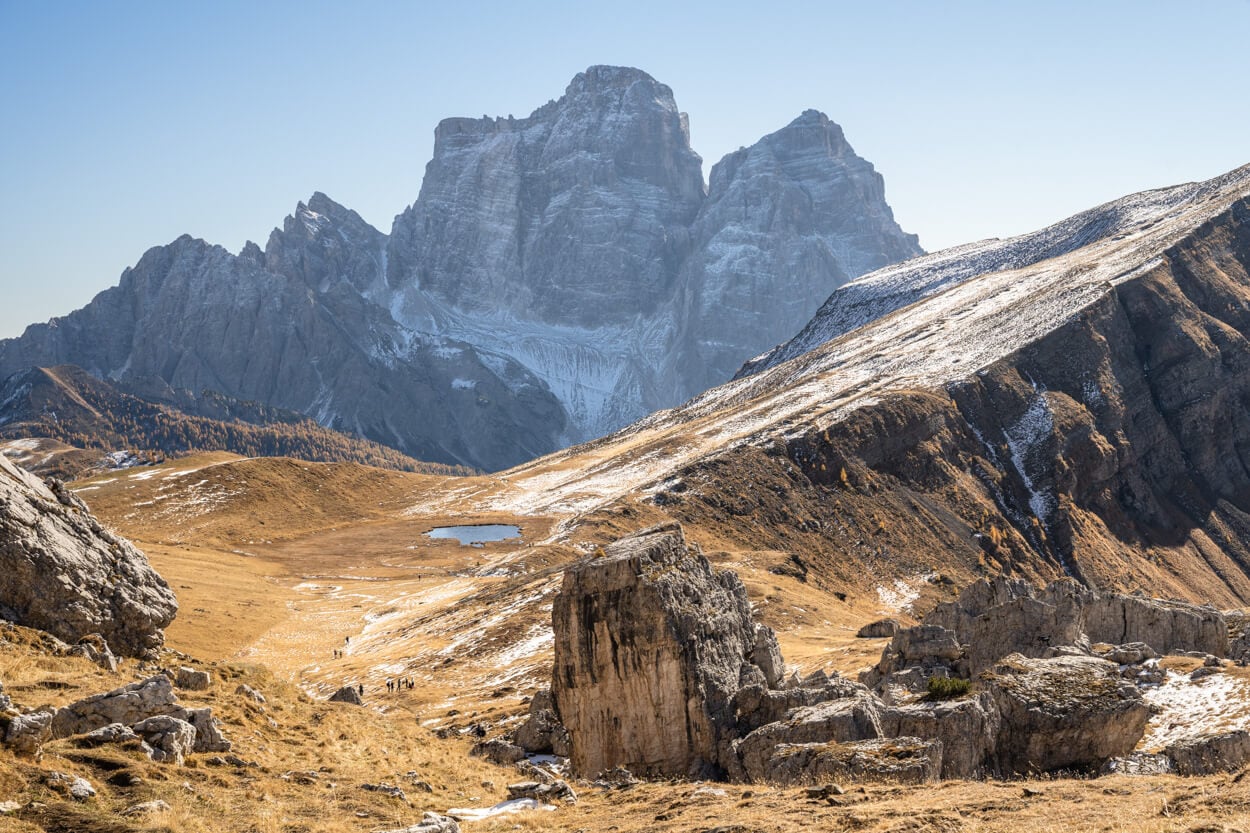
Mondeval Plateau, with Monte Pelmo in the background.
| Mondeval Plateau Hike (and Mount) Hike: Quick Overview |
| • Distance: 8.53 km / 5.3 mi (Out & Back) | Elevation: +570 m / 1,870 ft | Time: 3-4 H | Difficulty: Moderate | Trail: No. Trail 436 (part of the Alta Via 1) |
| • Start & Parking: Passo Giau |
| • Best Season & Light: Early Summer to Early-Mid Autumn |
It’s a relatively short, scenic hike that can be done in half a day. The trail leads to a plateau (Mondeaval) hidden from view beyond Forcella Giau. The plateau feels like a pristine, hidden gem where, apart from the trails, it’s hard to spot signs of civilization.
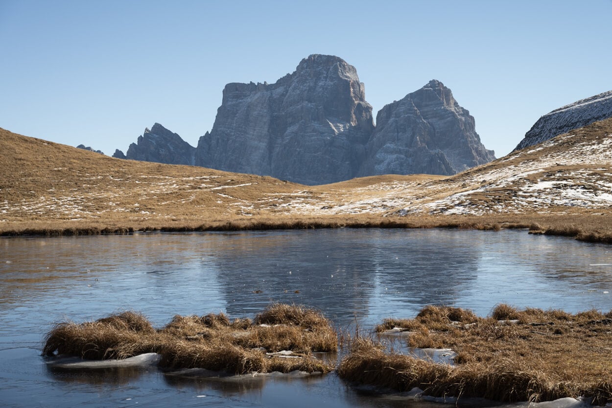
Lago delle Baste.
From the plateau, a short detour brings you to Lago delle Baste, a small lake where Monte Pelmo reflects on calm days. And, from the lake, it’s about 20 minutes to the summit of Monte Mondeval (2,455 m a.s.l.). A place that offers stunning, 360-degree panoramic views.
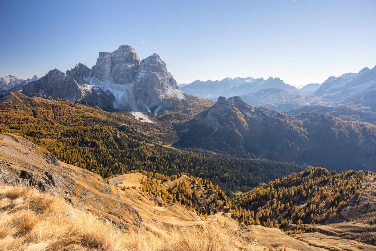
The Stunning Panoramic view from Monte Mondeval’s Summit.
An interesting fact: around 7,500 years ago, Mesolithic hunters used this plateau as a seasonal base. In 1987, archaeologists found the burial of a man about 40 years old, the “Mondeval Man,” beneath a huge erratic boulder at Mondeval de Sora. He’s now on display at the Museo Vittorino Cazzetta in Selva di Cadore.
Table of Contents
Overview of the Mondeval Plateau Hike, Map & GPX
The Hike to the Mondeval Plateau and its continuation to the namelike summit is of moderate difficulty, with a relatively moderate elevation gain. No technical difficulties of any kind.
In the sohuld season, late spring or early autumn, it’s worth bringing microspikes if there are traces of snow. Some sections of the trail are on north-facing slopes that get little sunlight during the day, and they can quickly turn into ice sheets.
Also, if you are looking to extend the hike or for a longer trail, you can also visit the Mondeval Plateau as part of the Croda da Lago Circuit, passing by both Lago di Federa and Passo Giau
Here is the map of the hike. You can download the GPX file for free from the activity linked below.
How to Get to the Mondeval Plateau Trailhead and Parking
To get to the main trailhead, you can drive directly to Passo Giau and try to find a parking spot there. If you don’t find a spot at the top, it’s best to park on the road, on the Cortina d’Ampezzo side. because there is another trailhead from a secondary parking area (linked below). That’s also where I started the hike.
If you are planning this hike, it’s best to arrive at Passo Giau as early or late as you can. Because Passo Giau has become an even more popular location in recent years, parking spots fill up quickly.
- Driving Directions: Located on SP638 (Strada Provinciale 638), Passo Giau is most easily reached from Cortina d’Ampezzo. The drive from Cortina to Passo Giau takes about thirty minutes. Alternatively, you could also climb up from Selva di Cadore if you are on the other side of the pass.
- Parking: There are several parking areas along both sides of the pass. There is also a parking area at the very top by the church, paid. But that is limited to a few spots. The best option is parking along the road from Cortina, free at the time of writing, closer to the trailhead. If you do not find a parking spot near the top, you can also park around this area, where a secondary trail leads to the main trail.
- Public Transport: It’s possible to reach Passo Giau with public transport in summer, using the Dolomiti Bus service – the line is Cortina d’Ampezzo – Passo Giau – Val Fiorentina.
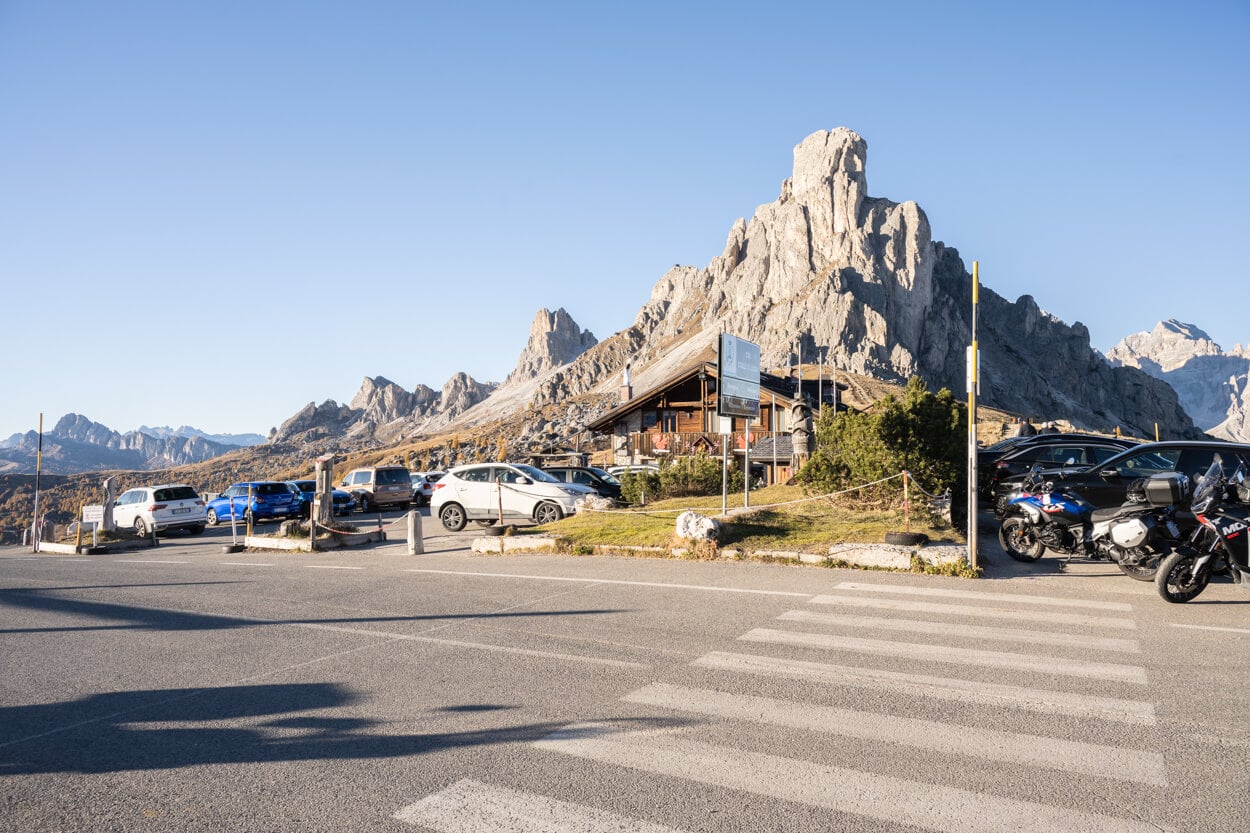
Passo Giau.
The Mondeval Plateau Hiking Trail
From Passo Giau, follow the trail signs to Forcella Giau/Mondeval/Rifugio Palmieri, on trail 436. As you leave the pass, you’ll want to turn around to enjoy the view of Ra Gusela and the other. mountains around the Pass, which are always a beautiful sight.
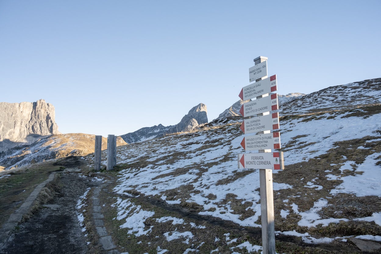
Trailhead from Passo Giau.
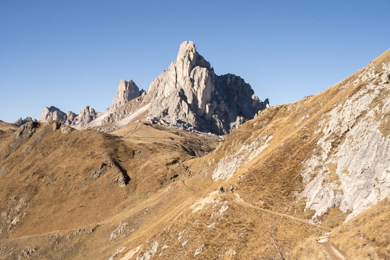
Passo Col Piombin
Also, the trail is initially quite wide and flat, and it takes about 15-20 minutes to reach another small pass, Passo Col Piombin. It’s a small pass connecting Passo Giau and Forcella Giau.
From Passo Col Piombin, the views open up toward Forcella Giau. From there, it’s downhill to the lowest point in the valley, before the climb up to Forcella Giau, which is relatively steep and rocky, but not technical at all.
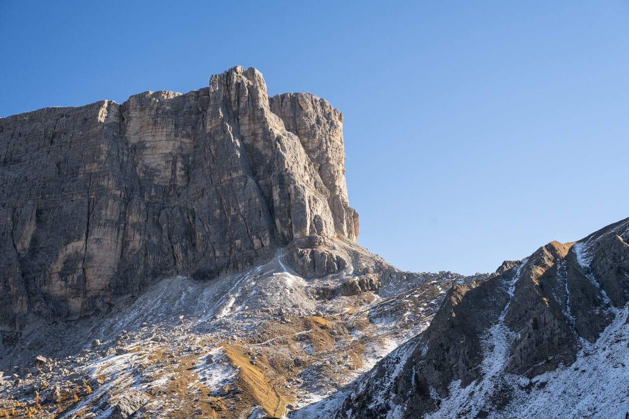
Forcella Giau
Forcella Giau is a good spot to stop and enjoy the views of the valley below, with both Ra Gusela and the massive Tofana di Rozes farther back. And not too far in the opposite direction, the first view of the Mondeval Plateau awaits.
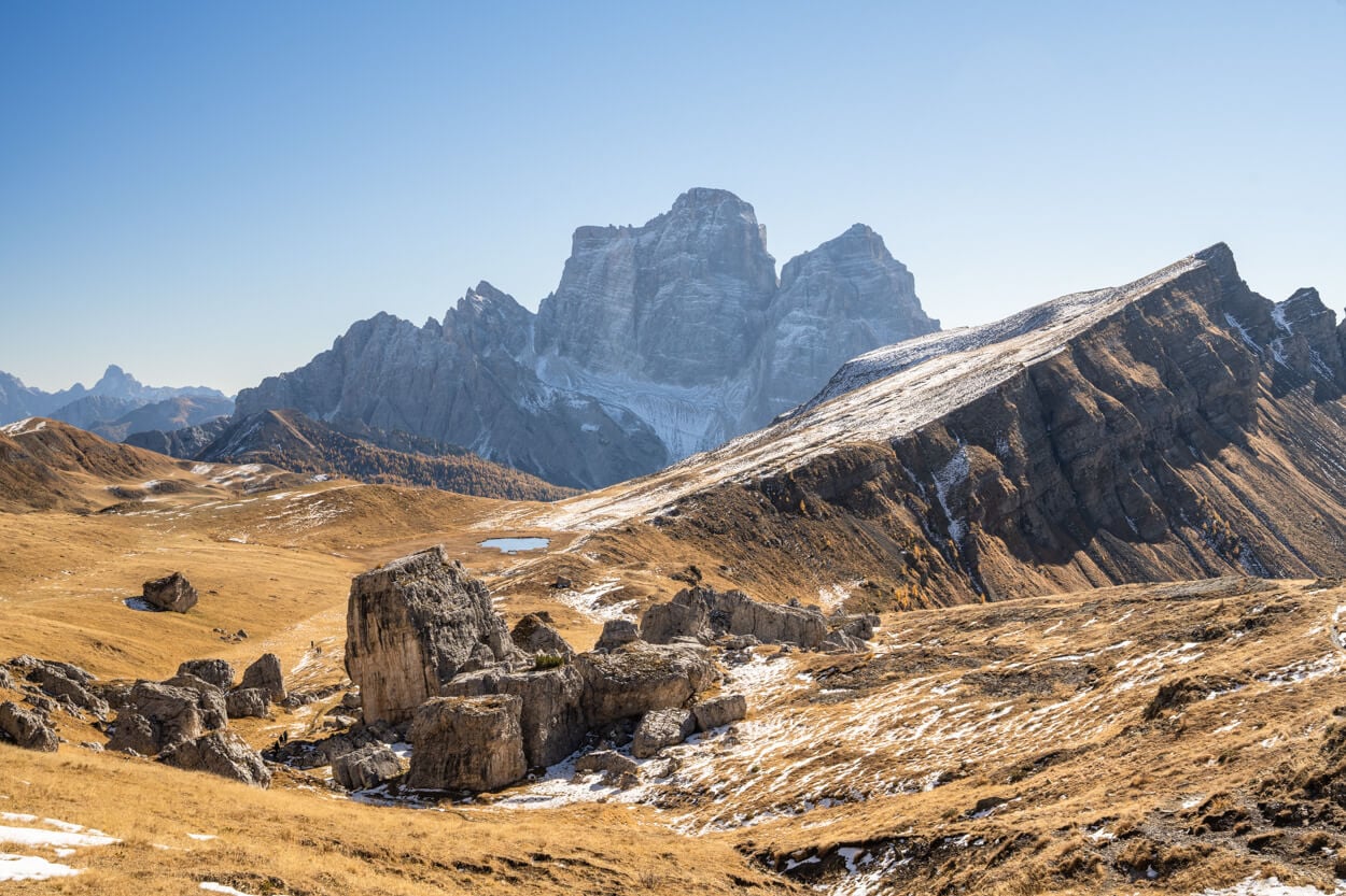
You can already see the whole plateau, and it almost feels like another world compared to the very busy and trafficked Passo Giau. In the distance, Monte Pelmo dominates the landscape, with Monte Mondeval (also known as Corvo Alto) rising to your right, and the small Lago delle Baste in the middle of the landscape ahead of you.
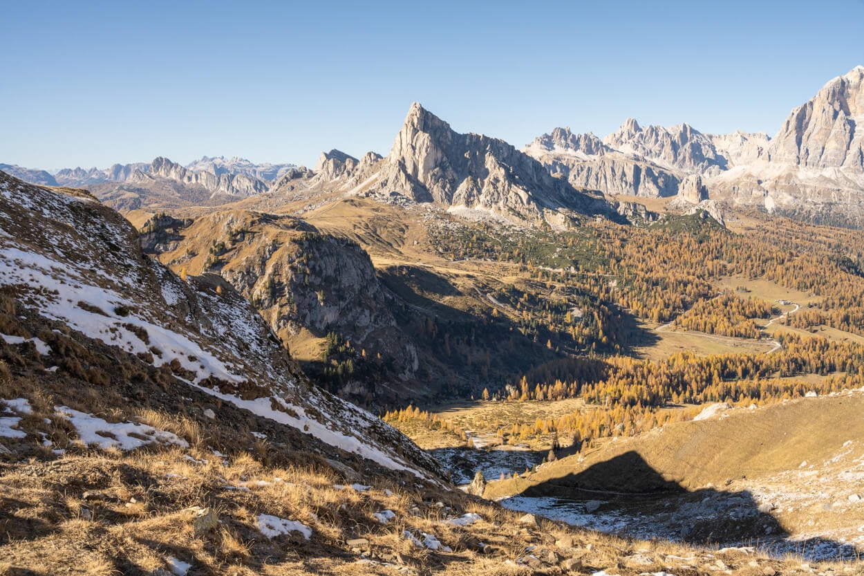
Panoramic view from Forcella Giau toward Passo Giau
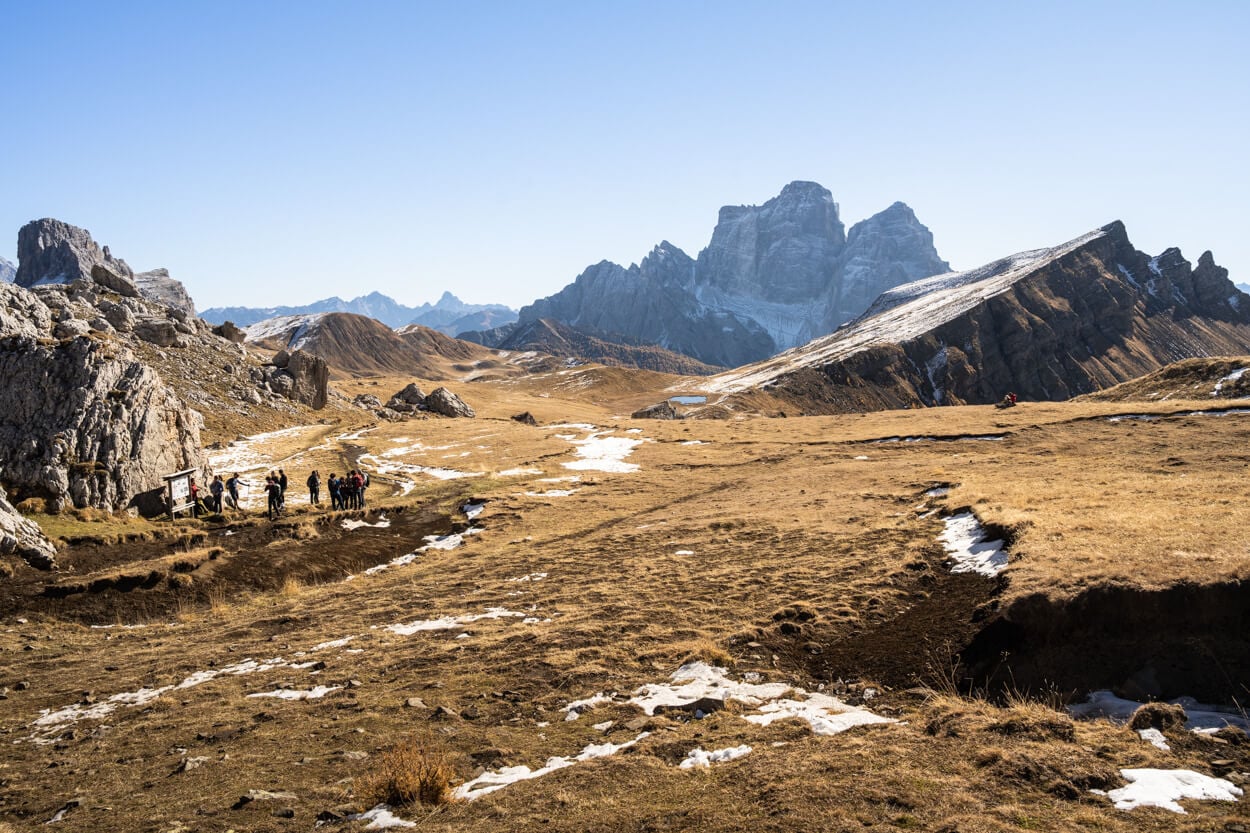
View of the Mondeval Plateau from Forgella Giau, in the opposite direction, with Lago delle Baste in the middle, Monte Pelmo in the Background, and Monte Mondeval/Corvo Alto on the right.
From Forcella di Giau, it’s an easy walk downhill toward the lake, side by side with the rocky dolomitic peaks to your left and the vast expanse to your right. It takes about another 10-15 minutes to reach the Lake, where you can enjoy the views of Monte Pelmo reflecting in the waters of the lake on windless days.
Be careful around the lake, as there can be boggy areas covered by tall grass. Essentially, that means you might find yourself in mud well above the ankle.
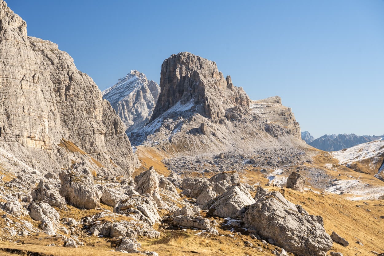
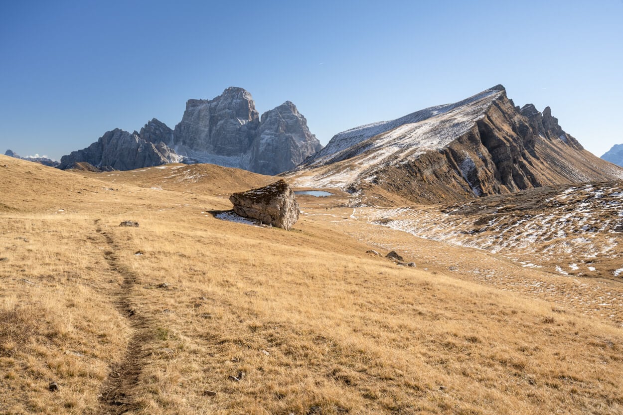
The trail from Forcella Giau to Lago delle Baste is entirely downhill.
Lago delle Baste.
From Lago delle Baste to Monte Mondeval’s Summit
The Baste lake is also where the short climb to Monte Mondeval starts. There are actually 2-3 different (unmarked) trails that lead to Mount Mondeval’s summit. It’s a short climb, though. There are trails on each side of the mountain, the Southern and the Eastern side, so you can do a loop up and down the mountain, which is also what I did. Up the South side and down the North side toward Forcella Giau.
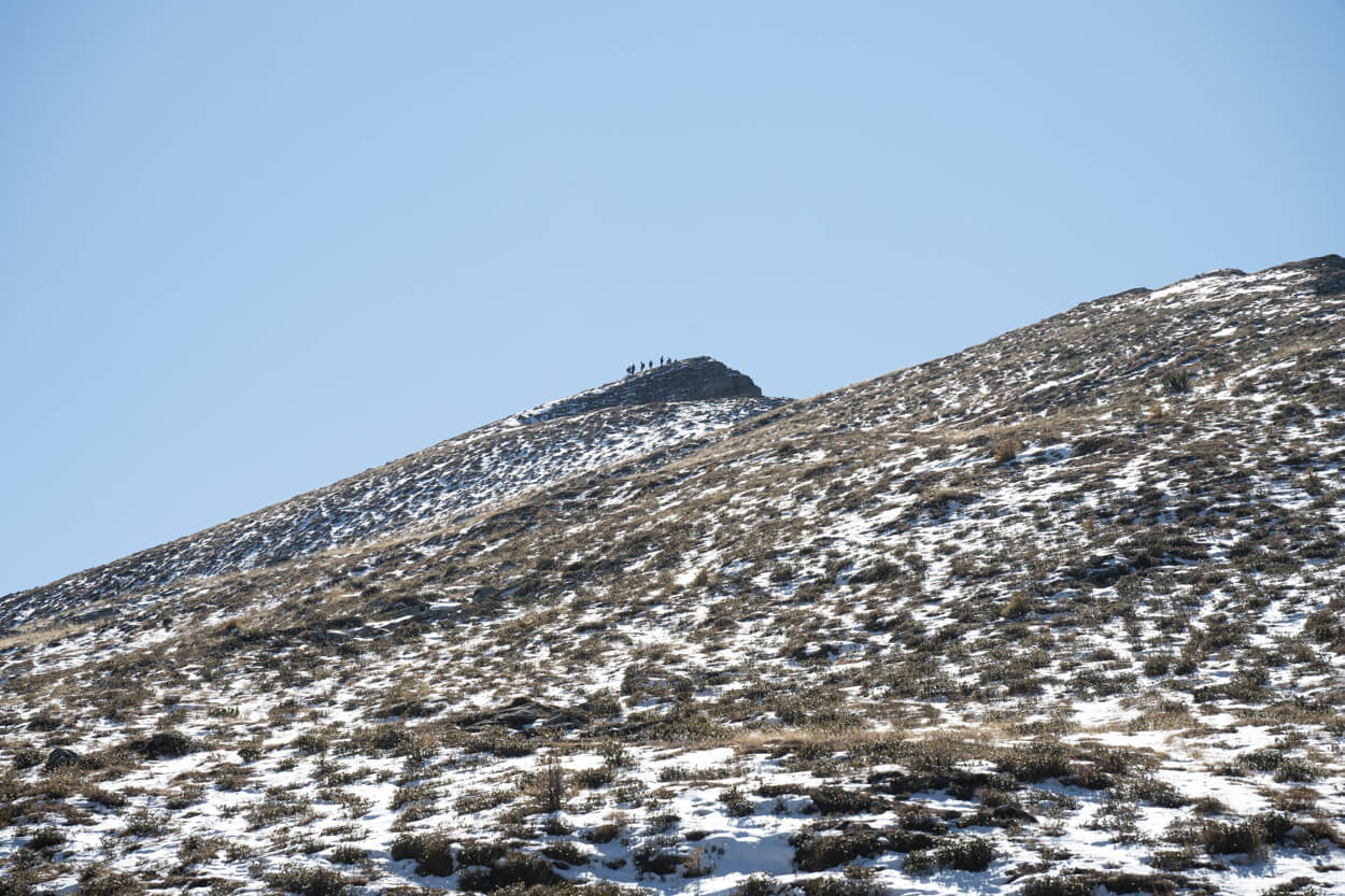
The summit is a short hike uphill from Lago delle Baste.
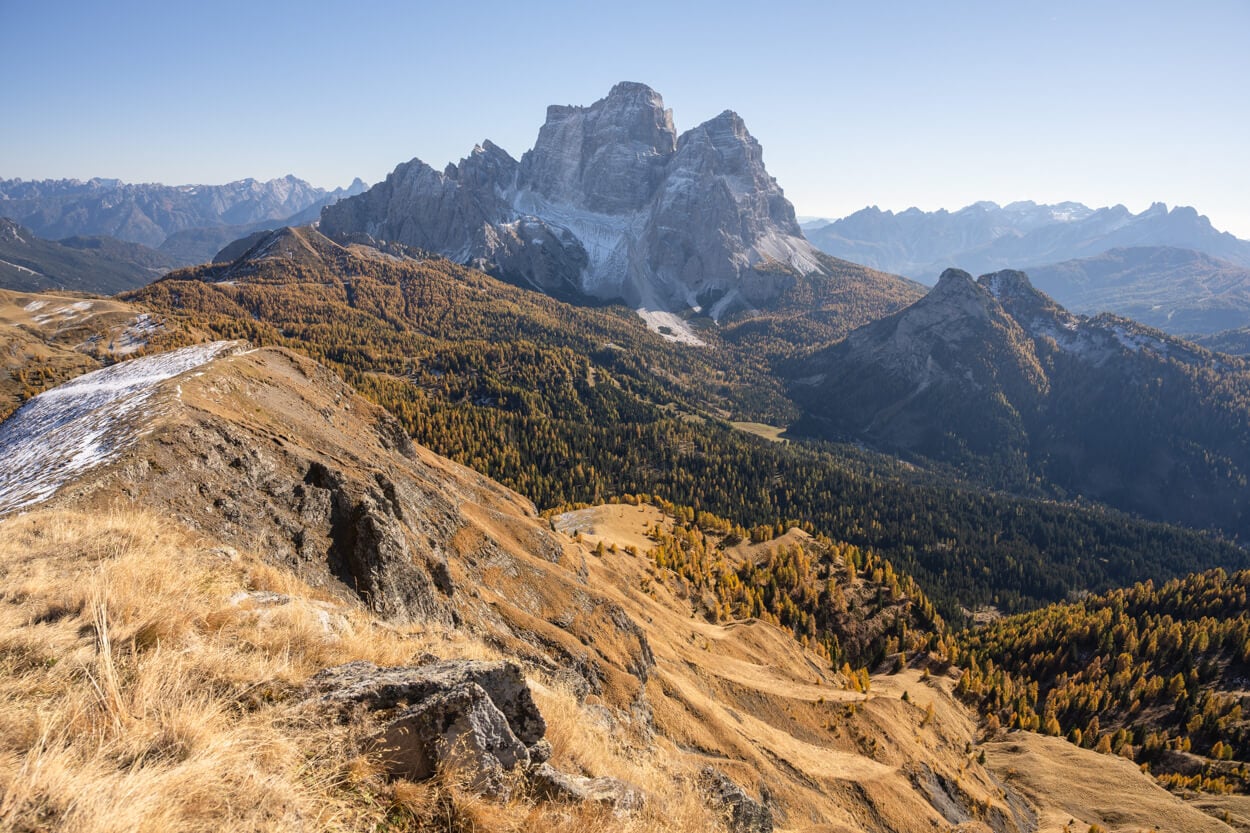
The Eastern side of the Ridge offers great views of Monte Pelmo
Do note that while the trails to the summit are rather wide, it is also completely exposed toward the western side and Selva di Cadore. So approach the ridge with care.
The summit is a relatively narrow area, and, again, exposed on the Western side. The 360-degree panoramic views of the vast landscape around Monte Mondeval that await at the top are spectacular. On a clear day, you can see from Le Tre Cime to La Marmolada (the highest mountain in the Dolomites) and beyond.
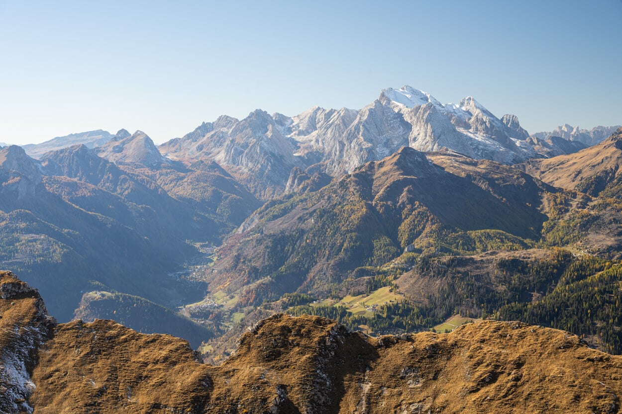
La Marmolada, the highest mountain in the Dolomites, on the right-hand side.
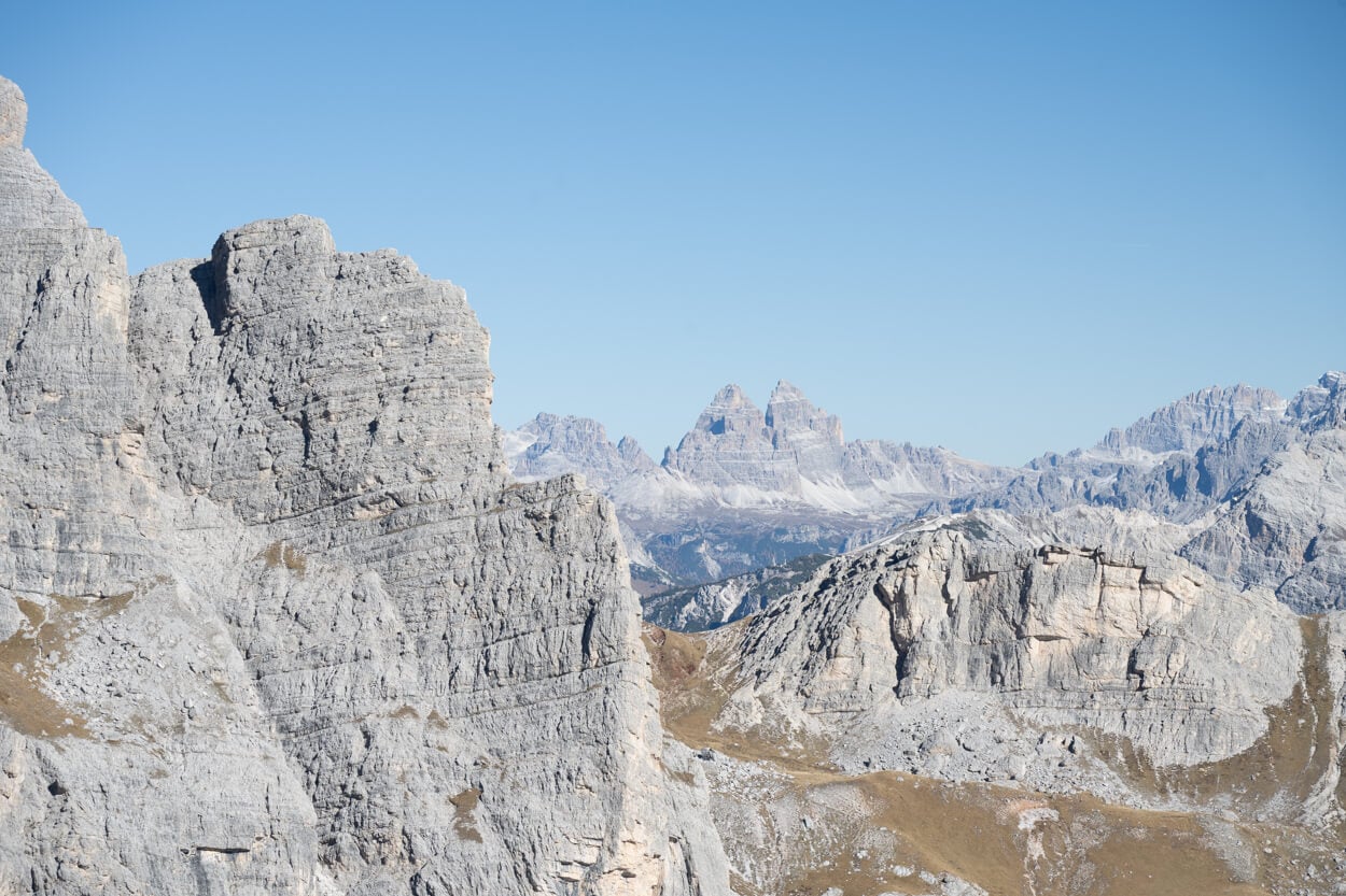
The south face of Le Tre Cime di Lavaredo, viewed from Monte Mondeval.
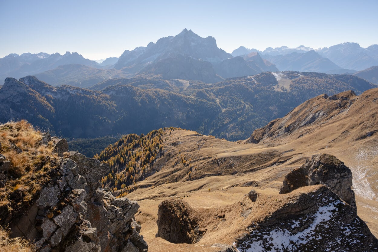
From the summit, you can enjoy 360-degree panoramic views and mountains as far as the eye can see in every direction.
Monte Pelmo dominates most of the landscape.
Also, there’s a cross on the summit, as on many of the mountains in Italy.
On that plaque you can read the words “Amici della Montagna qui tutto sembra naturale”. That translates into “Friends of the Mountains, everything feels natural up here”. A simple sentence that translates very well how sitting atop Monte Mondeval feels.
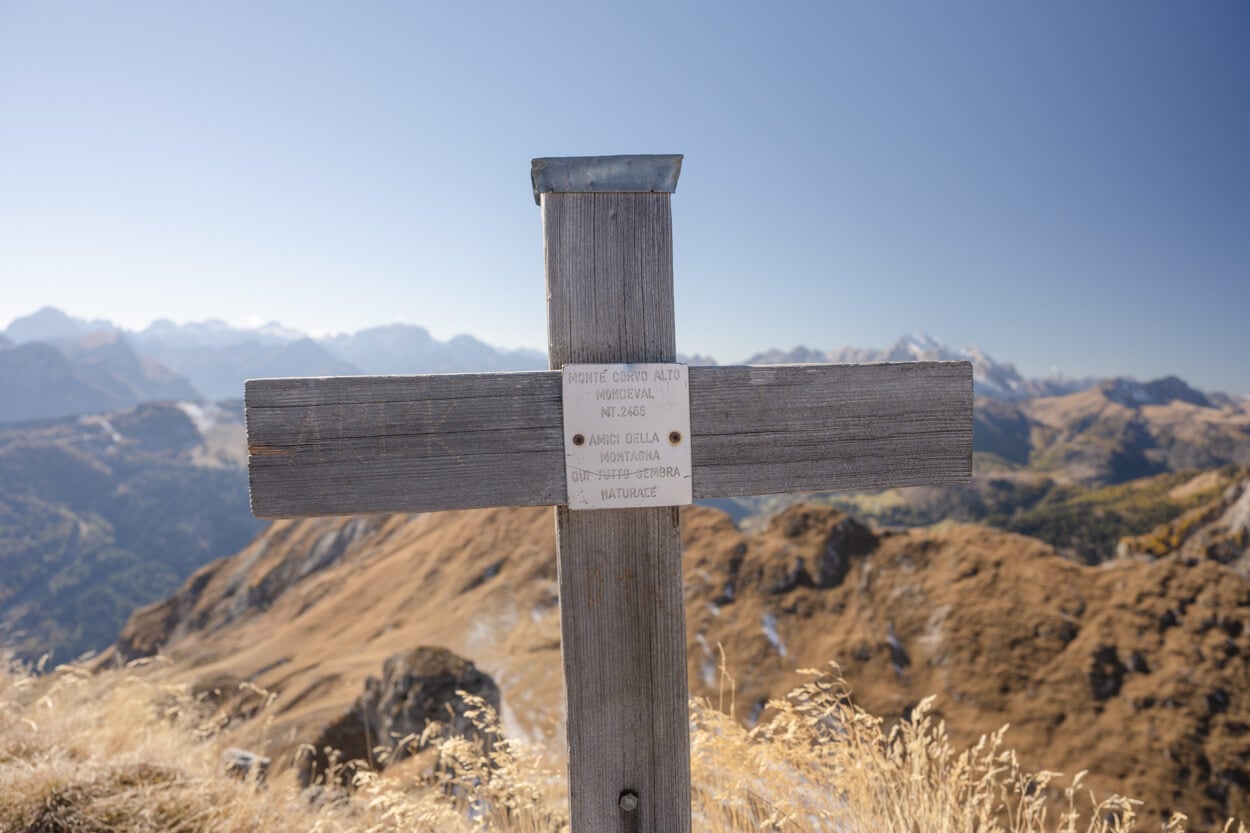
The Cross on Monte Mondeval/Corvo Alto.
Mondeval Plateau and Mount Photos and Photography Tips
From a Landscape Photography point of view, there are several points of interest along this trail. Perhaps the most popular is Lago delle Baste, with its reflection of the massive Monte Pelmo. It can be a great spot for both sunrise and sunset, when Monte Pelmo catches the Alpenglow (called enrosadira in the region). Same for the golden hours.
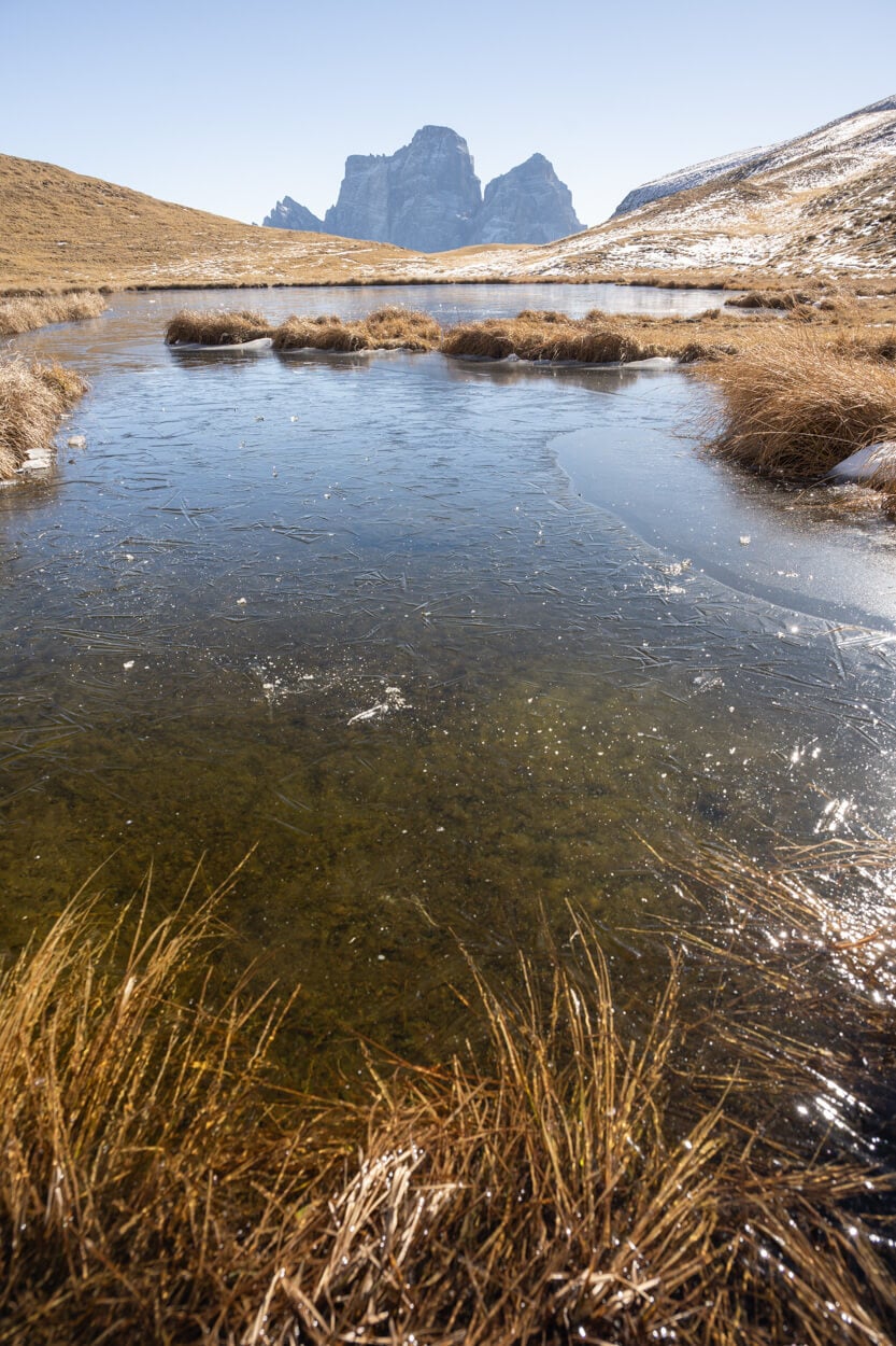
Focal Length 24mm
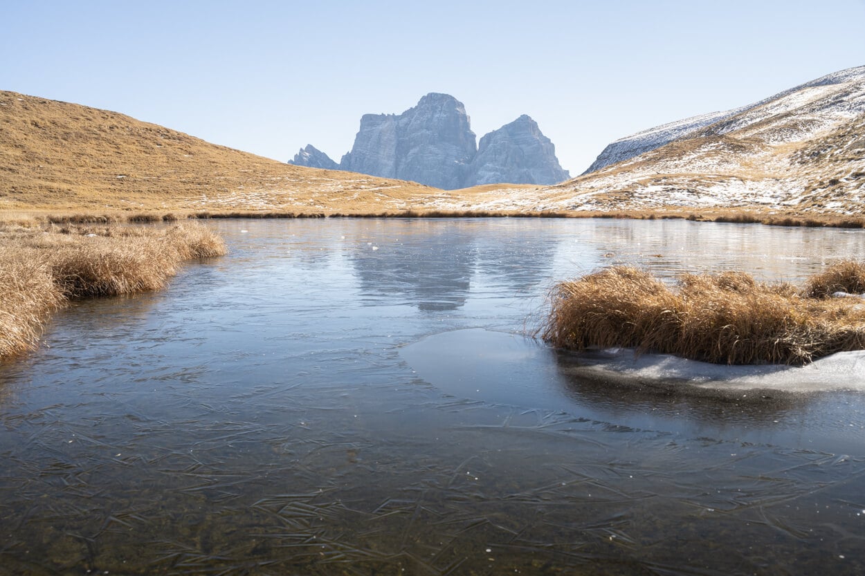
Forcal Lenght 45mm
Focal lenght 60mm
For the Baste lake, I’d recommend lenses between 18-50mm. You don’t want to go too wide, or Monte Pelmo will look too small, and you can use some compression on the longer range to make it look bigger relative to the landscape and the lake. In terms of composition, you can either isolate the reflection, the mount, and the lake, or use the grass patches around the lake as foreground.
However, compositions around the lake are fairly limited, and for the grand views, you’d want to be up at the top of Monte Mondeval. Especially the view of the whole Monte Pelmo Massif that dominates the landscape is a sight to be seen. This would be a great spot for a sunset, as the light of the setting sun floods the valley and hits Monte Pelmo with its warm colors. Personally, a view and a photo, I’ll come back for the next time I’m on Passo Giau.
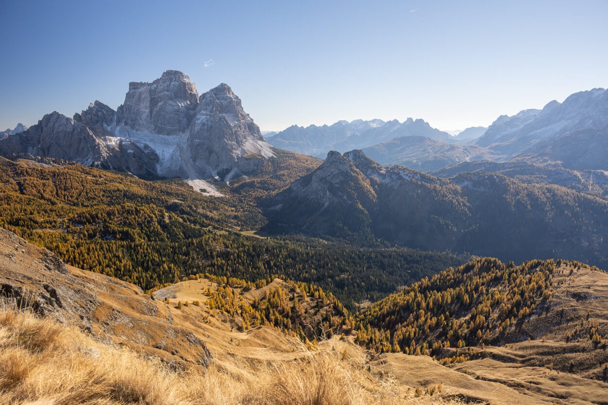
The view toward Monte Pelmo from Monte Mondeval’s Summit is perhaps the most scenic on the trail, great for sunset.
Plus, the views from up there, especially toward the south, are great for some telephoto landscape. I used a 24-120m lens, and while the 120m was enough, at times I wish I had a little more range with me to isolate more of the vast landscape around.
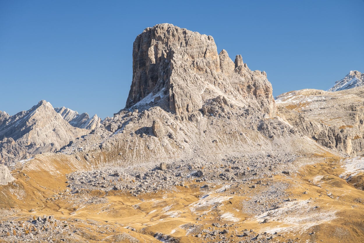
Apart from the big views, there are also plenty of beautiful impressions around the Plateau.
Additionally, if you want to catch some flowers on the plateau or greenery, early/mid July is the best time. However, if you want to catch autumn colors, late October is the best time. This is also when I visited and took the photos in this post.
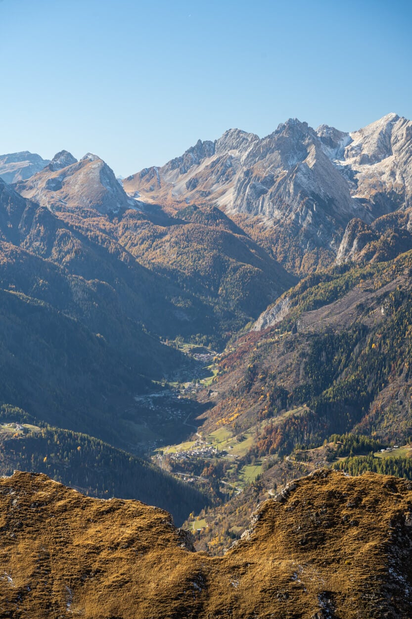
On sunny autumn days, the whole landscape turns into a vast autumn colors palette.
Where to Stay
If you want to spend the night on the pass, there is a hotel at Passo Giau, the Passo Giau Hotel. Also, there are a few other accommodation types on either side of the pass. Best to book well in advance in summer as places fill up quickly.
The biggest town in the area is Cortina d’Ampezzo, and it has no shortage of hotels. A great place to spend a few days at if you are planning to do more hikes in the area, such as Le Tre Cime or Lago di Sorapis, and more.
The nearest campgrounds are also in Cortina d’Ampezzo, Camping Rocchetta, and Camping Dolomiti. I stayed at both, and both have good facilities. However, both have quite restrictive quiet hours in case you are planning to leave very early or arrive late to shoot sunrise/sunset, in which case you may need to park the car somewhere outside of the campsite.
If you want to spend a night in the mountains, you can also consider Rifugio Palmieri / Croda da Lago. That would also allow you to catch the sunrise from Lago Federa.
Additional Resources
- Here’s my full guide to the best hikes and photo spots in the Dolomites, with tips on where to stay and when to go.
- For a longer hike around Passo Giau, check out the Rifugio Averau and Nuvolau loop hike.
- View my main page on Hiking in Italy.


Leave A Comment