
Laguna Sofia Hike, Where the Condor Flies, Patagonia, Chile
The Hike to Laguna Sofia is both a bit of a hidden gem and a quieter alternative to the more crowded trails in Torres del Paine. Easily accessible from Puerto Natales, it’s also a popular place to see or photograph the Andean Condor.
| Laguna Sofia Hike: Quick Overview |
| • Distance: 4.4 km / 2.7 mi (Out & Back) | Elevation: +440m / 1,443 ft | Time: 1.5-2 h | Difficulty: Moderate | Trail: Marked Trail/Registration Required |
| • Start & Parking: Laguna Sofia Trailhead, Road Y-280 |
| • Best Season & Light: Spring to Autumn |
Located outside of the Torres del Paine National Park, Laguna Sofia is easily accessible from Puerto Natales, at about a thirty-minute drive. Access is free, but it does require registration (more on that below).
The hike is also quite short at 4.4 km / 2.7 mi out and back, and can be easily done on the way to Torres del Paine, either as an alternative, if the weather in TDP is bad, or if you just have half a day to spare.
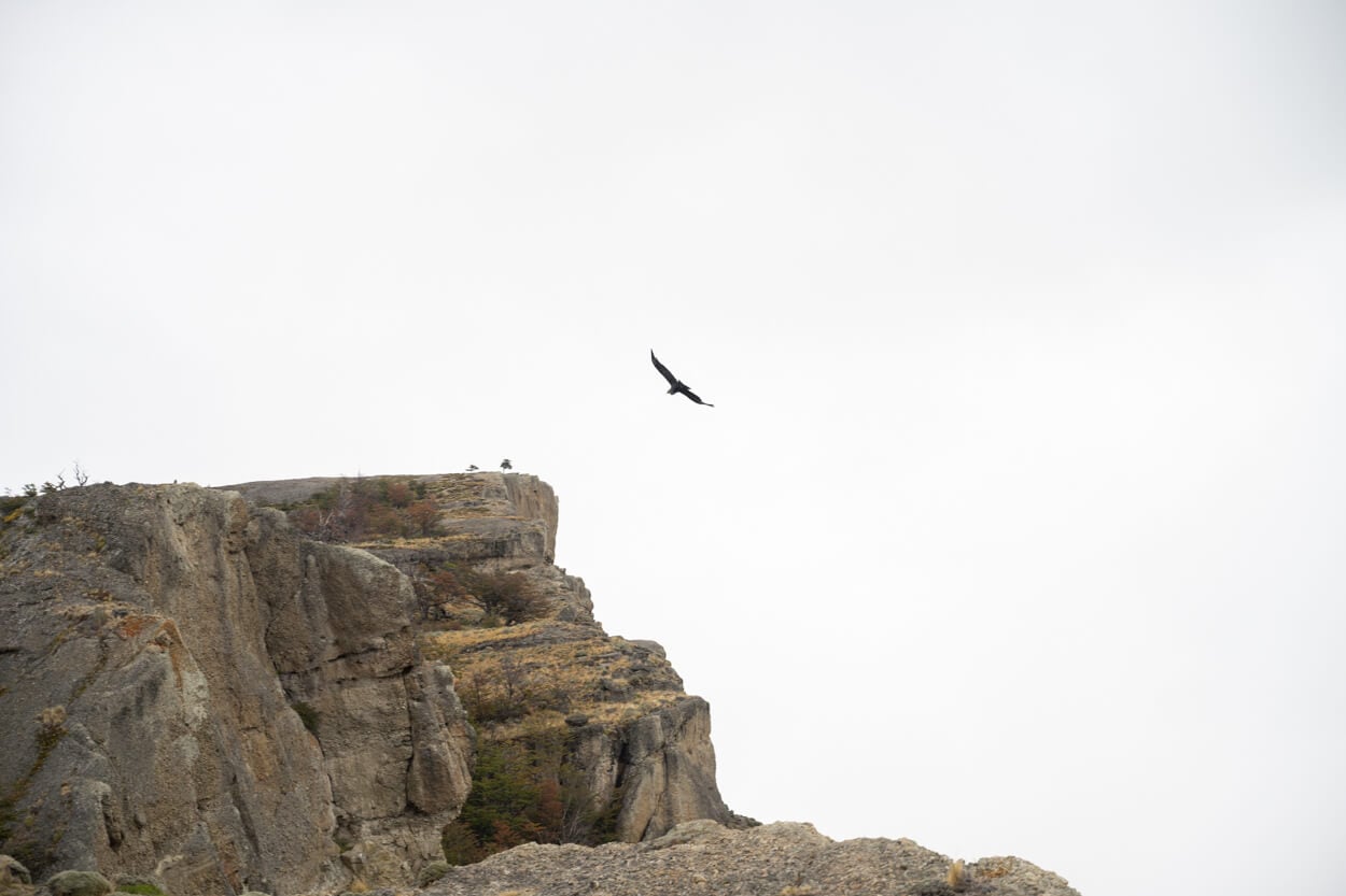
Andean Condor flying above Cerro Benitez, the main viewpoint at Laguna Sofia.
Table of Contents
Overview of the Laguna Sofia Hike, Map & GPX
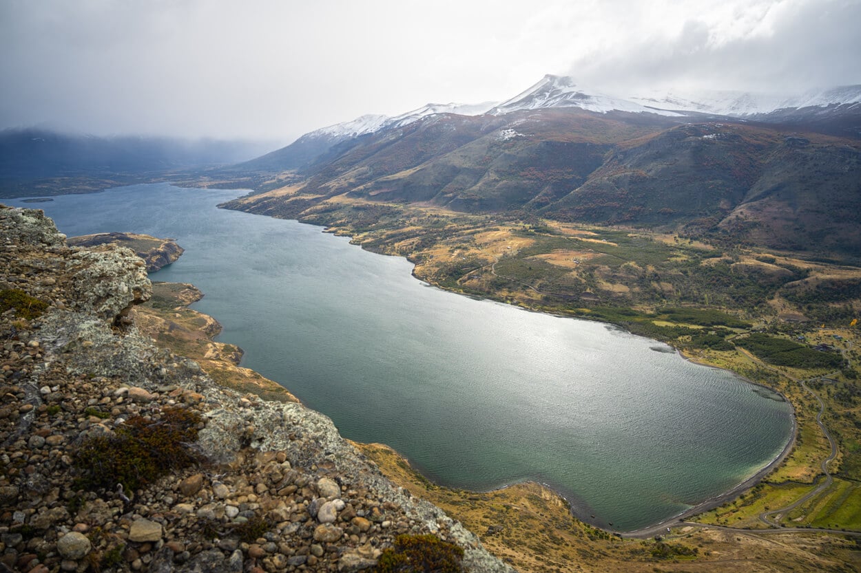
The Laguna Sofia trail leads to a viewpoint high above the lake, Cerro Benitez, at an altitude of about 530 m / 1,738 ft. It’s an easy trail with no technical passages, but the plateau at the top of the mountain is completely exposed to a vertical drop-off all the way down to the Laguna’s shores. So, probably not great if you suffer from heights.
One thing to pay attention to: the trail is on private land and, while freely accessible, registration is required. You’ll find all the information you need on a sign by the trailhead, here for reference if you want to register in advance. There is no right to roam in Chile, so on private land like this one, you need to follow the access rules.
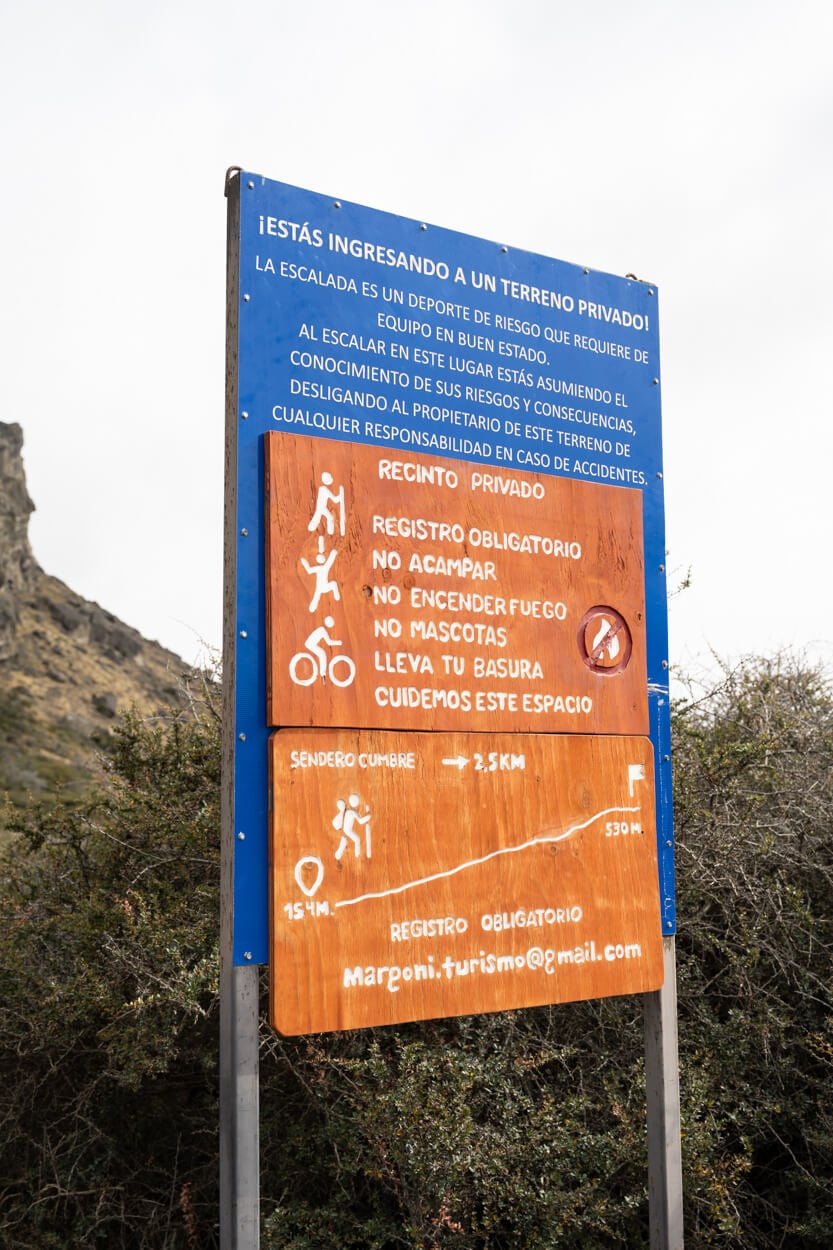
Laguna Sofia infoboard. Handy to register in advance.
Also, the trail is marked with red arrows along the way, so it is easy to follow. However, once you reach the plateau, there are only a few cairns here and there.
Here is the map of the hike. You can download the GPX file for free from the activity linked below.
How to Get to the Laguna Sofia Trailhead and Parking
Located about 30 km north of Puerto Natales by road, it takes about half an hour to reach the trailhead by car. It’s on the way to Torres del Paine, and the road is paved until the turnoff to Laguna Sofia.
- Driving Directions: from Puerto Natales, follow directions to Road 9 toward Torres del Paine. Drive past the junction with road Y-290 for another five kilometers or so. them, take road Y-280 to your left. It’s a dirt road doable in any regular car. Keep driving for another 5 km until you reach the gated trailhead.
- Parking: available along the road – there are a few pull out areas by the trailhead, suitable for a few cars.
- Public Transport: none
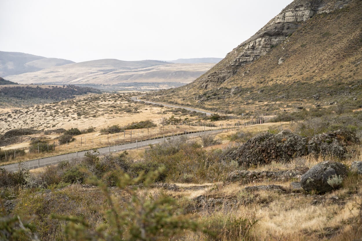
View of Road Y-280, near the trailhead.
The Laguna Sofia Hiking Trail
Past the entrance gate/ladder, the trail initially follows a dirt road that leads into a forest. Quite a beautiful forest too, with old Lenga trees framing the dirt road nicely. Actually, the oldest lenga trees I have seen in this region. Such old trees give the forest a sort of majestic appearance
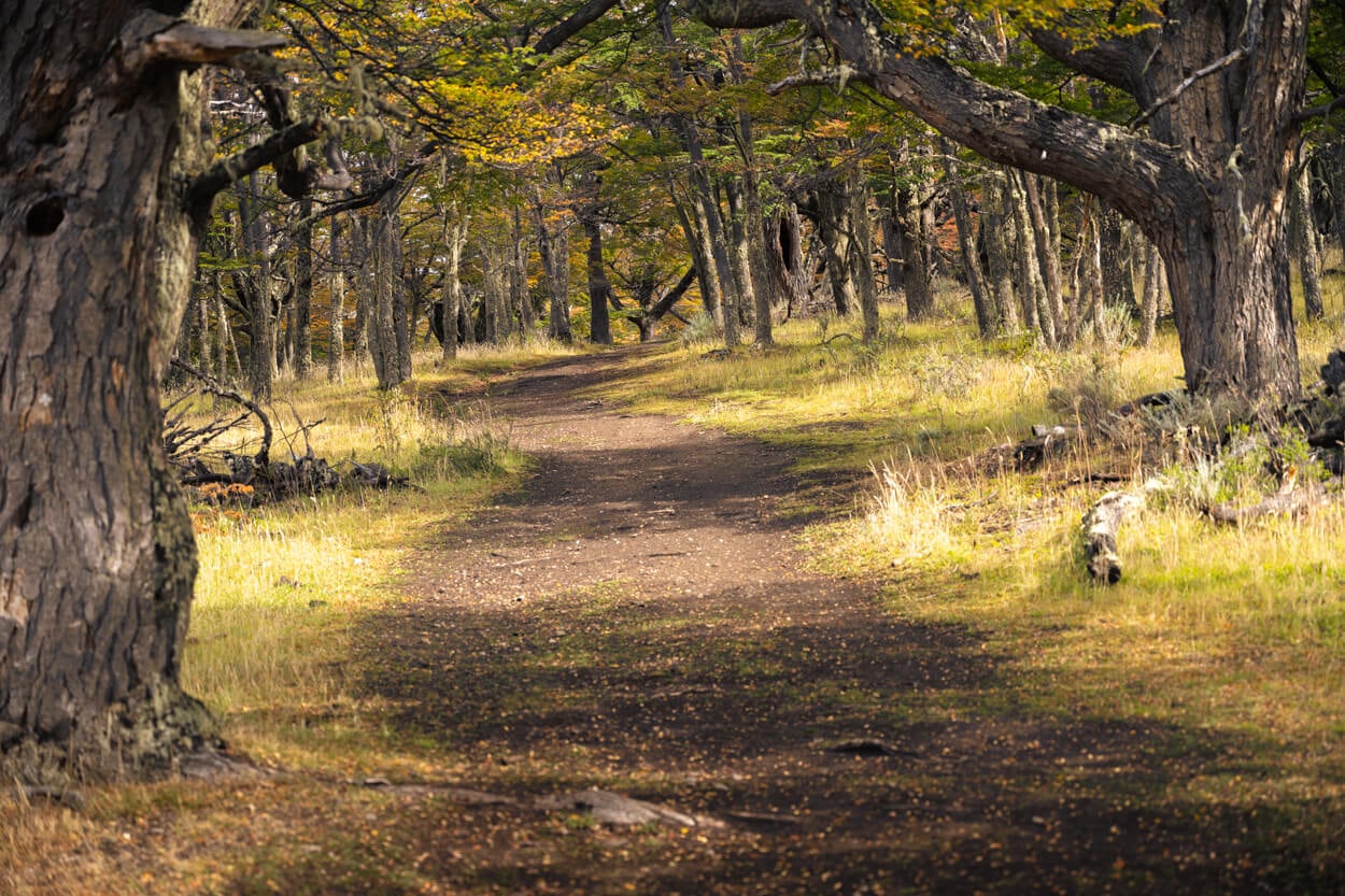
On the first part of the hike, you can see some Lenga trees probably older than 100 years.
While the trail is initially quite flat, the trail soon starts to gain elevation and becomes increasingly steeper the higher you go. It’s mostly packed dirt, though, so despite the elevation gain, which can be heavy on the legs, it’s a fairly easy walk.
Gradually, the Lenga tree forest thins out too. Lenga Trees leave room to cushion plants, Neneo Macho, which mostly grow on windswept hillsides. These curious-looking plants are covered in a thick layer of woody, spiny leaves, which protects them from both the fierce Patagonian winds and grazing guanacos.
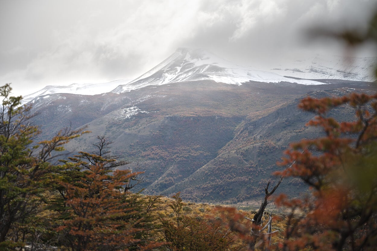
After a short stretch in the forest, you gradually gain views of the landscape around the trail.
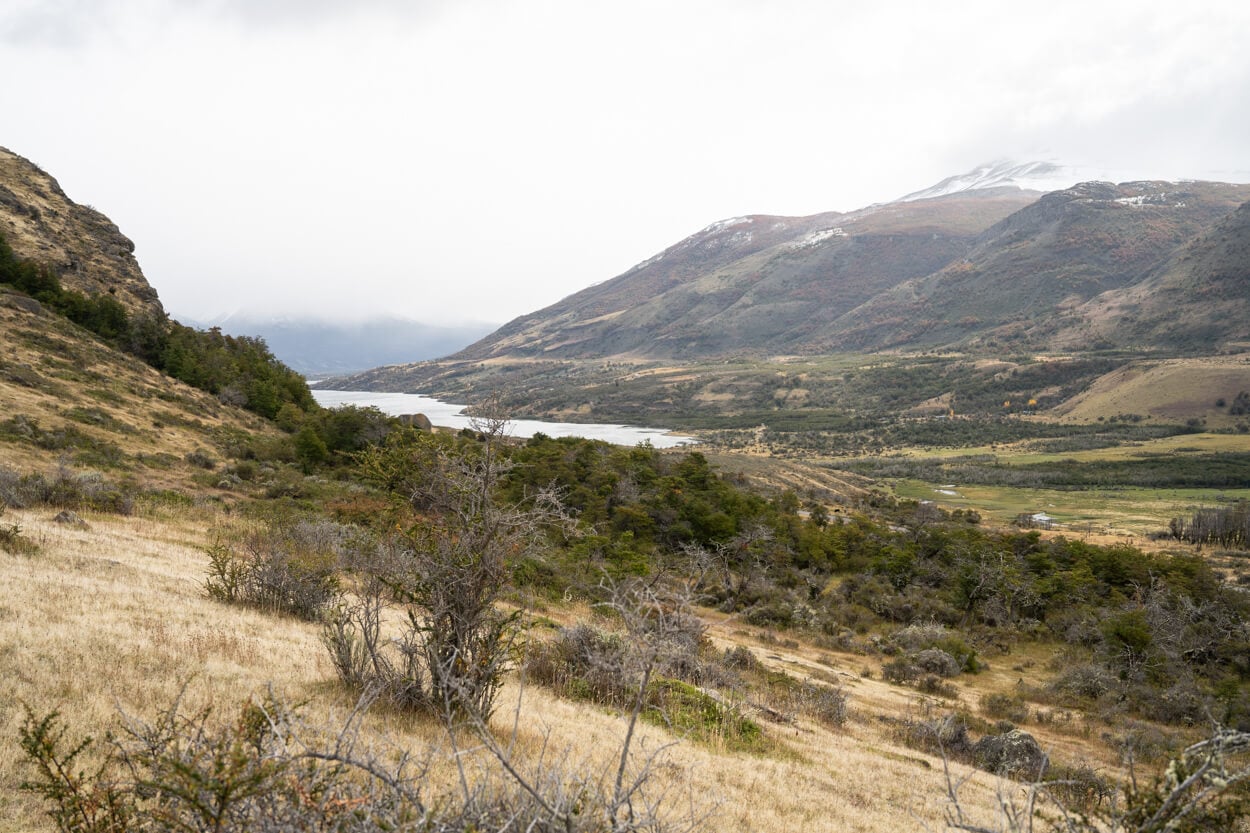
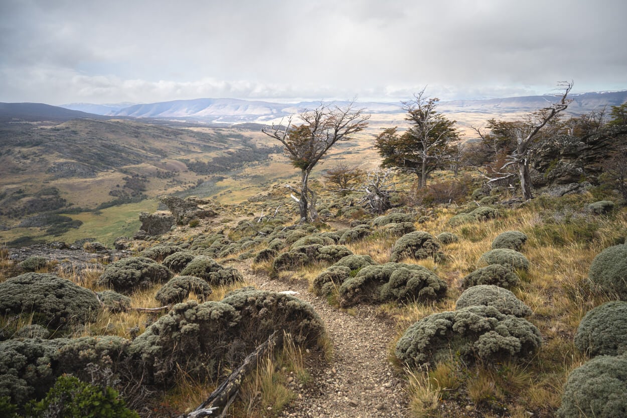
Near the top the vegetation changes, and trees leave room to Cushion plants (Neneo Macho).
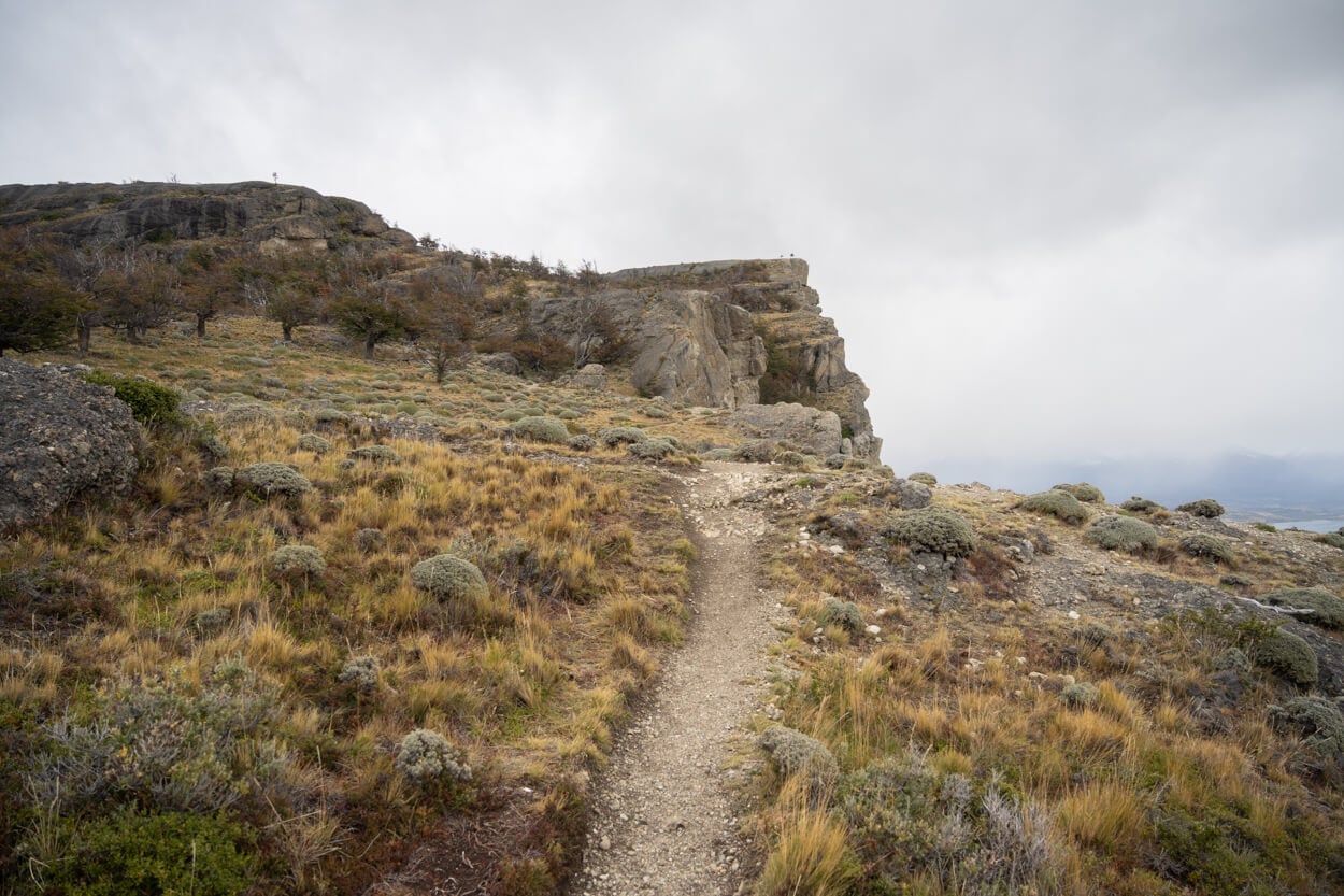
The large plateau ahead is Cerro Benitez’s summit, which is also the main viewpoint above the Laguna.
Towards the summit, the elevation gain eases out, and the trail leads to the wide plateau atop Cerro Benitez, where it disappears on its hard and gravely surface.
The northern side of Cerro Benitez is completely exposed to the sheer vertical drop of the cliffs, so approach with care. And, from there, you can enojoy the full view of Laguna Sofia. It’s quite an impressive sight, with the Laguna a few hundred meters right below you.
Low clouds were hanging above the mountains when I visited, but on a clear day, you should also get better views of the mountains to the west.
This is a great place to see condors. On windy days, such as when I visited, they can be seen flying high above and around the Laguna, so it’s best to have a pair of binoculars. On windless days, though, as a local guide told me, they will sit atop the Cliffs of Cerro Benitez. That would allow you to see this beautiful bird from relatively close by.
Still, even when they are flying high above you, you can get a good sense of how big the Andean condor really is. Its wingspan can reach up to three meters, and they are quite graceful in their flights, too.
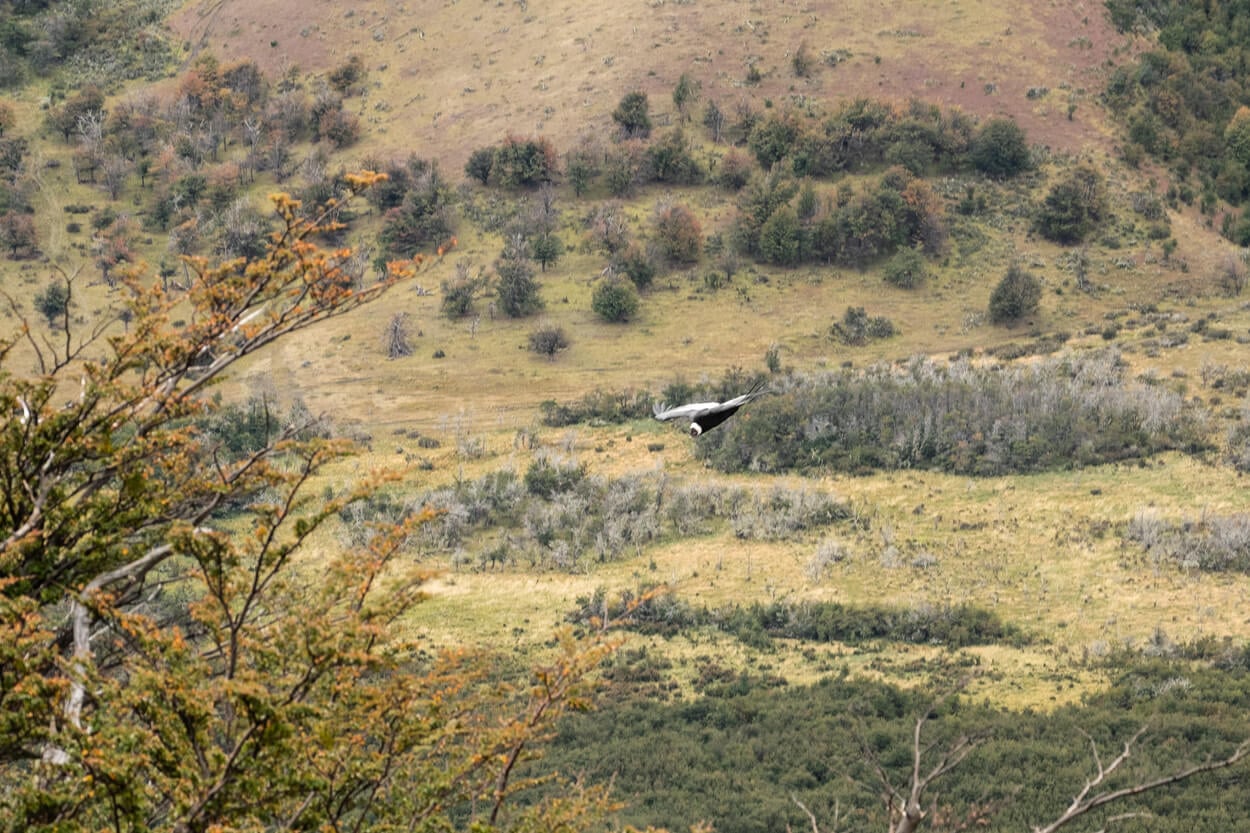
Andean Condor.
Laguna Sofia Photos and Photography Tips
In terms of landscape, the main attraction is the viewpoint atop Cerro Benitez, where you can see the whole laguna. and, on clear days, you should also see the higher peaks farther to the West. it would make for both a nice Sunrise or Sunset location. Of course not as dramatic like the Landscapes in Torres del Paine, with have half a day before or after your flight, or some time to spend in the area, this is the place I would go to.
At sunrise the mountains to the West would catch the warm glow of the rising sun, while at sunset you could catch some colors, provided the weather cooperates.
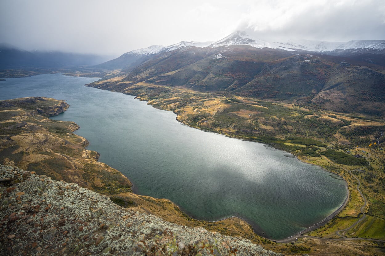
Cerro Benitez’s summit would be a good spot for either sunrise or sunset, due to its east/west orientation.
However one of the main attractions are also the Andean condors. First off, I apologies in advance to any serious birder and wildlife photographer out there who may stumble on this page, for my “snapshots” of the condors. As you can tell, that’s not really my jam. However, as a casual shooter, I never pass the opportunity to try and capture photograph any wildlife I may come across no my hikes. Still, hopefully he tips can be helpful to any casual shooter like myself.
When I was there, there were a few cars driving around Road Y-280 trying to photograph the condors flying above our heads. The road is also a good spot to see or photograph them flying overhead.
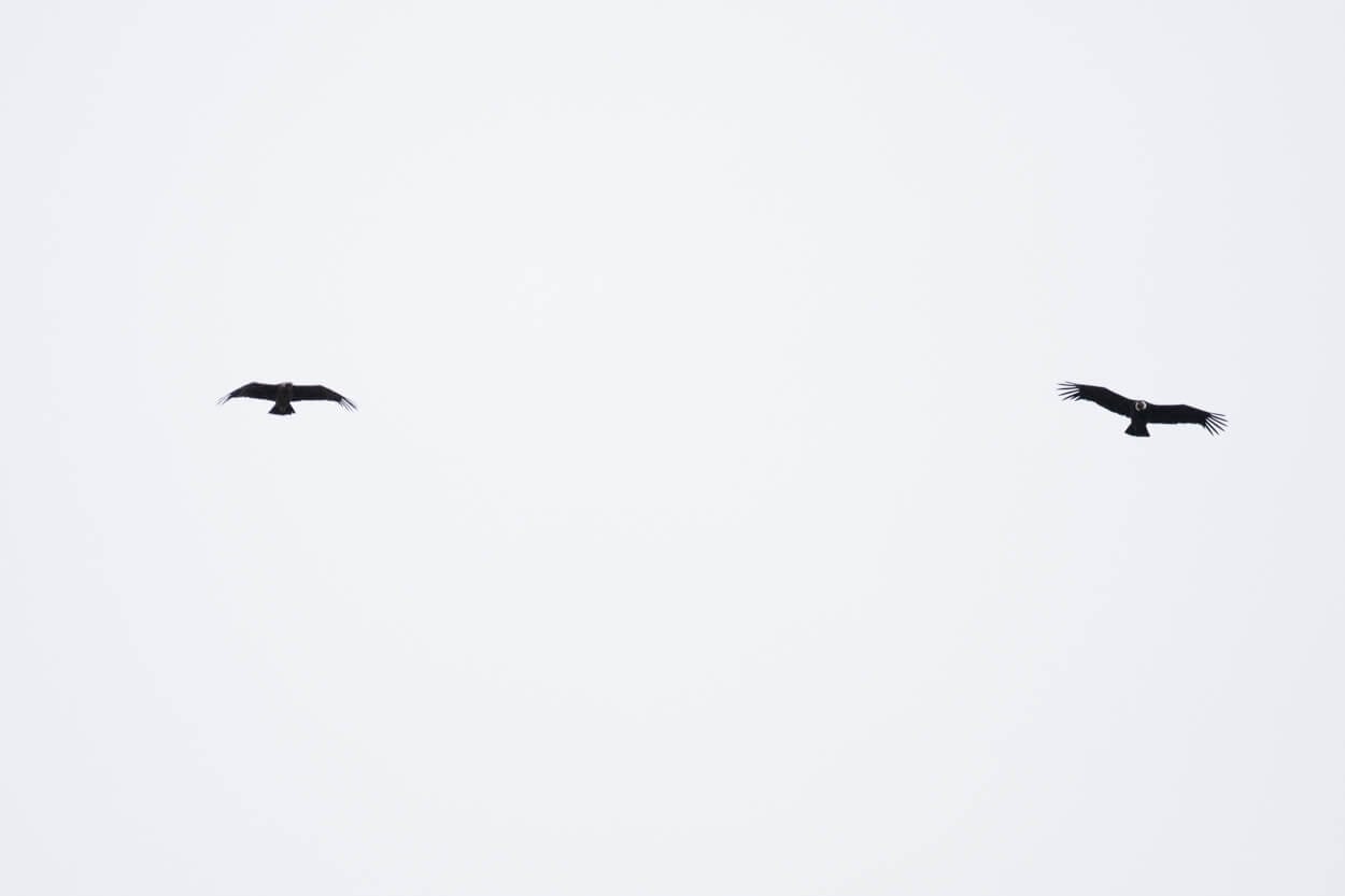
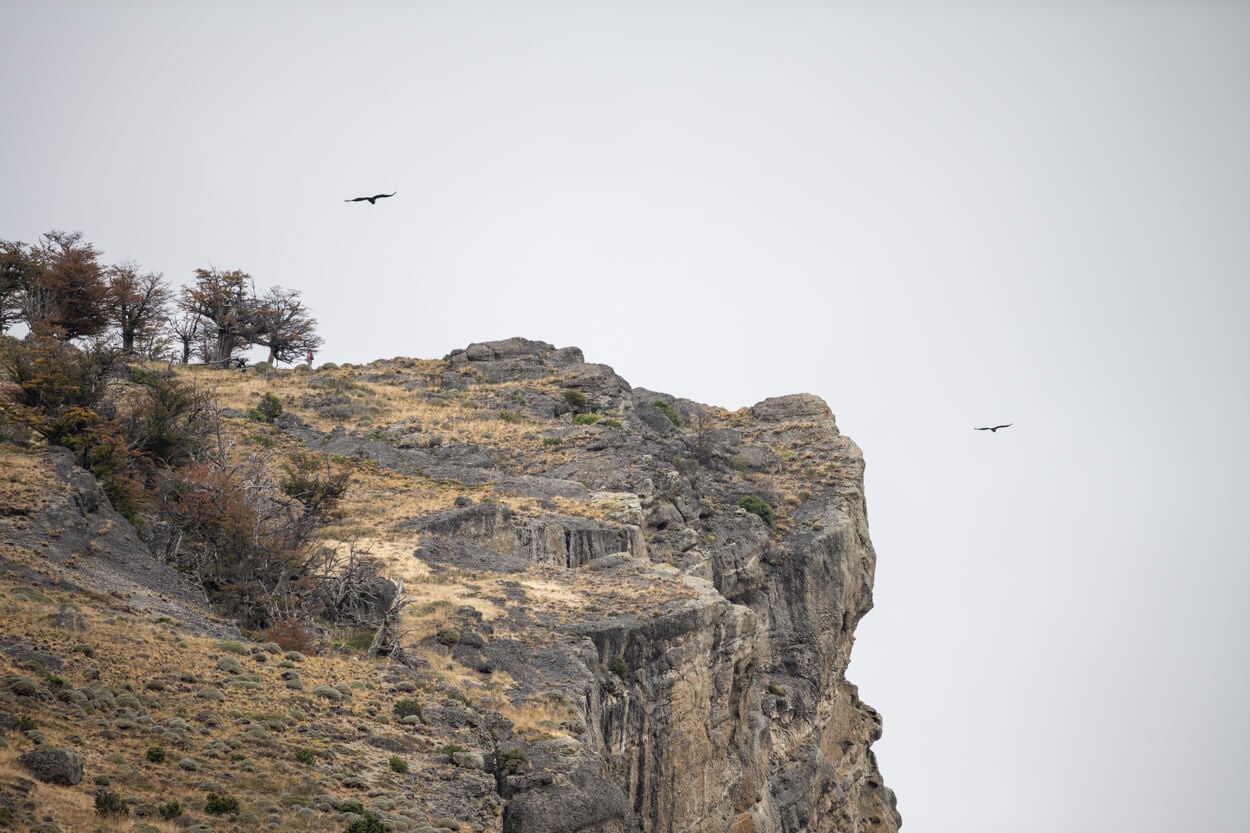
I tried too, using my 100-400mm lens, but they were flying far too high to capture any decent photo, even at 400mm. On windy days, they fly high following the currents, which makes it challenging even with longer telephoto lenses. To give you an idea, the phots below were taken at 400mm and cropped down to about 1/3 too.
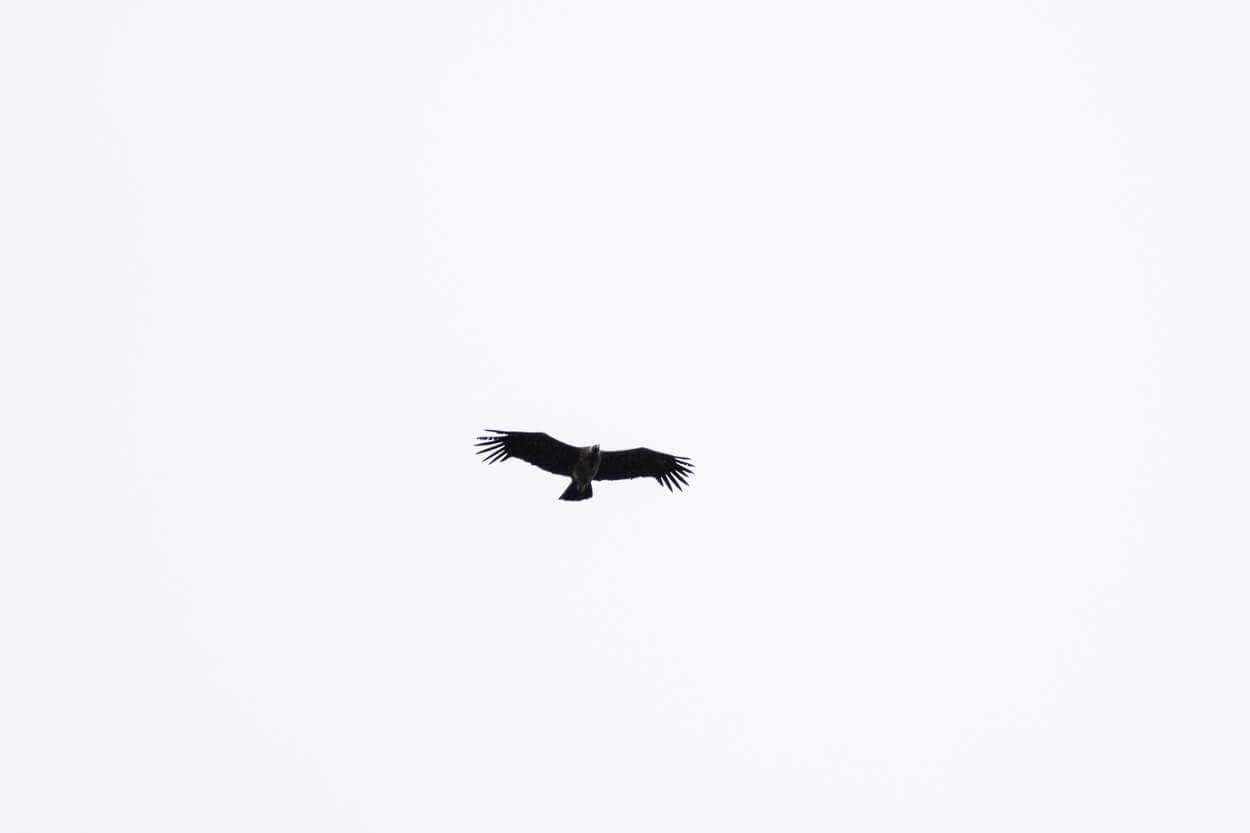
In terms of lenses, the landscape anything from 18mm to 24mm and above will be more than enough. However, if you want to photograph the Condors, the longer the lens the better. While they are big birds, the fly high on windy days. Unless it’s one of those rare windless days, when the condors sit atop Cerro Benitez and you may be able to photograph them from much closer.
Where to Stay
As it is an easy half-day hike from Puerto Natales, there’s no need to look for accommodations nearby. Unless you want to stay in a more rural area. In that case, there are a couple of guest houses around Laguna Sofia you could stay at.
Additional Resources
- Here is also my Torres del Paine Hiking and Photography guide, a useful read if you are planning a trip to TDP.
- For more hikes and photo locations in Chile, check out the main Hiking in Chile page.

Leave A Comment