
Wengen Männlichen Loop Hike via Lauberhorn, Lauterbrunnen Valley, Switzerland
The Wengen to Männlichen Loop is a panoramic hike you can tackle in full, or shorten using gondolas or trains up and down the mountain. Either way, you’ll get stunning views of the most iconic peaks in the Bernese Oberland: the Eiger, the Jungfrau, and the Mönch, as well as bird-eye’s view of the Lauterbrunnen Valley.
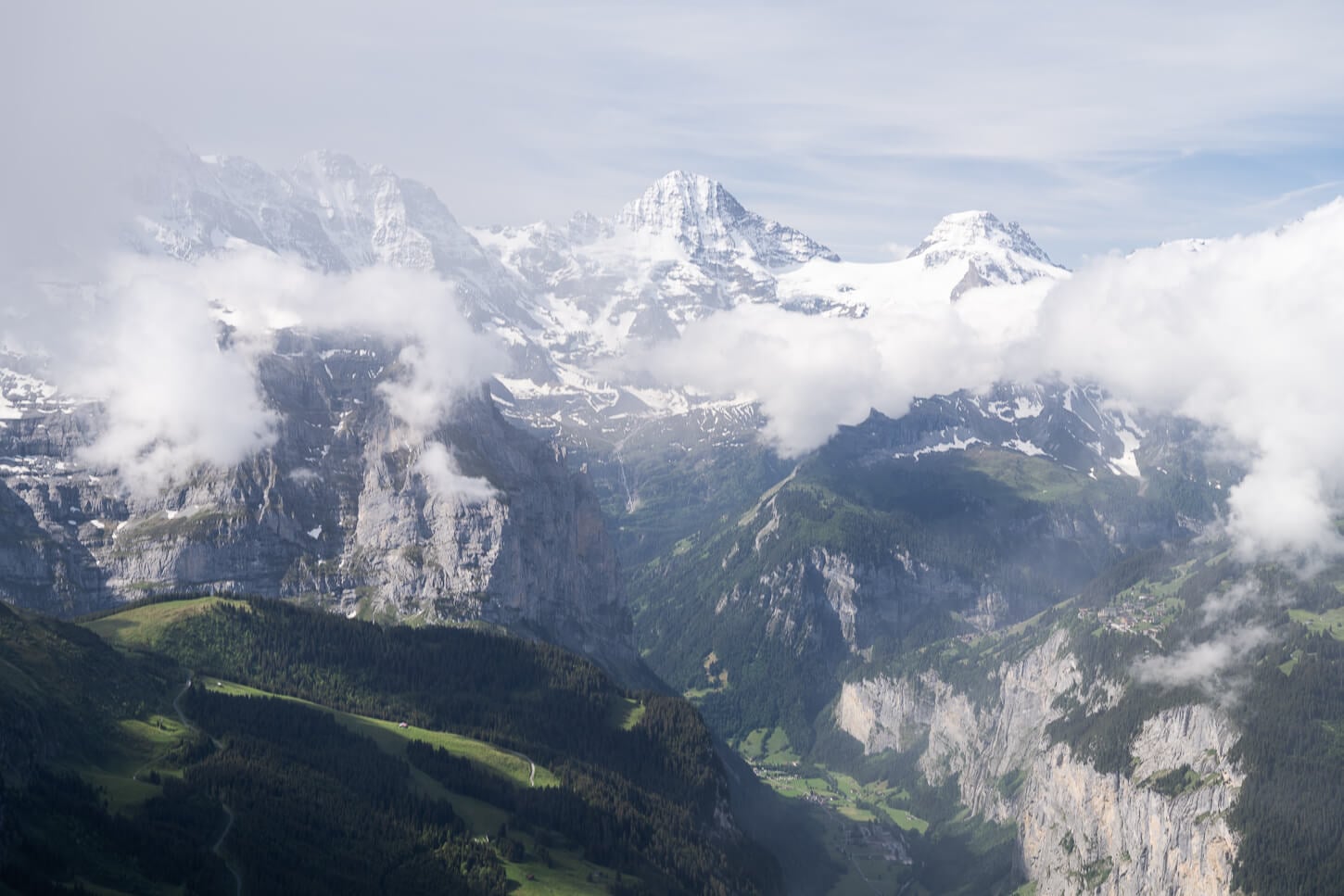
Panoramic view of the Lauterbrunnen valley.
Männlichen is a 2,350 m mountain right above Wengen, and a popular viewpoint in its own right: its observation deck offers some of the best views of the Lauterbrunnen valley below.
From there, the panorama trail continues toward Lauberhorn (2,470 m). While the detour to Lauberhorn isn’t normally part of this loop, it’s well worth the extra time and effort. The views of the high-altitude peaks and glaciers above the valley are even better from up there.
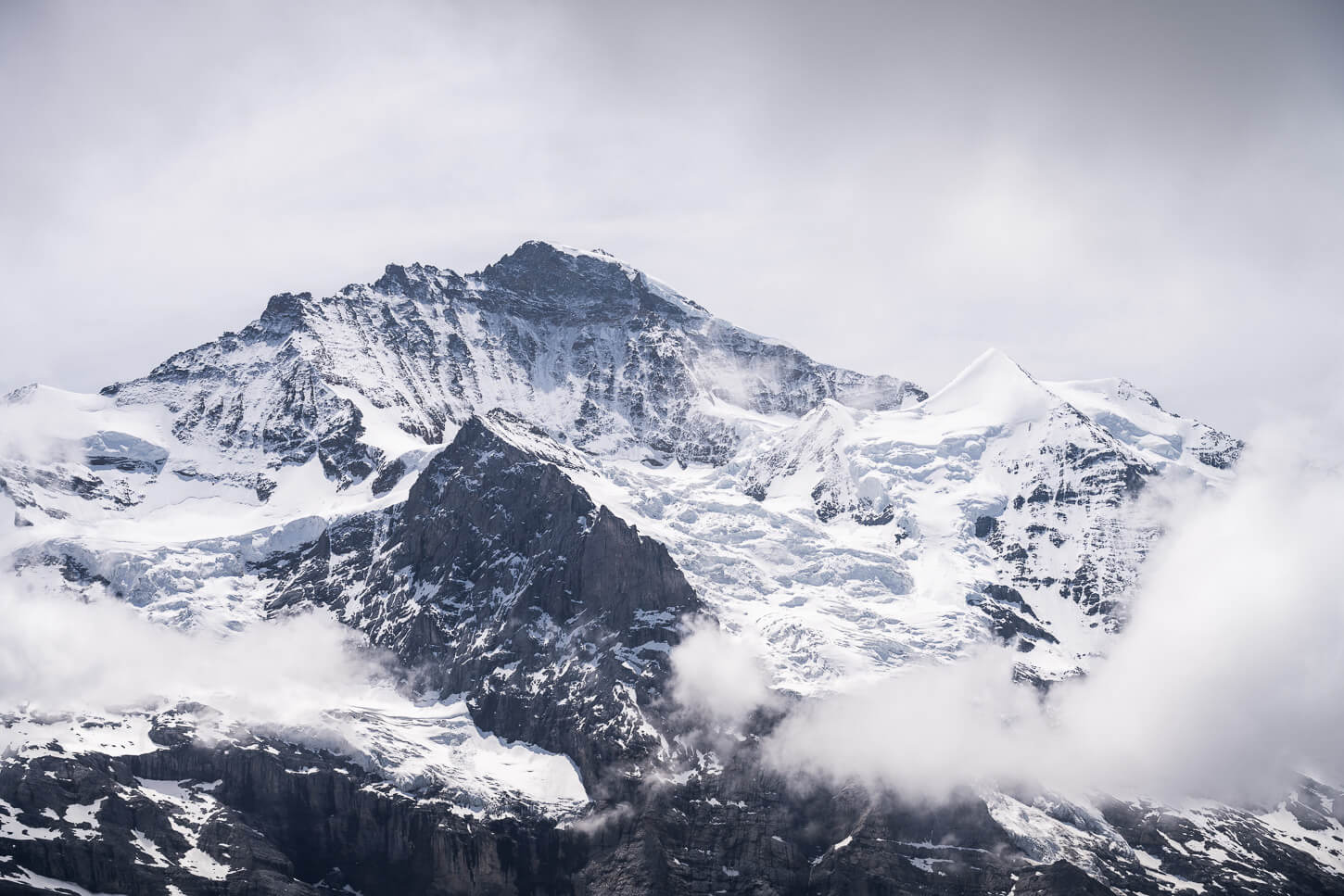
The Jungfrau (4,158 m), viewed from Lauberhorn.
It’s one of the Iconic places in Switzerland, and yes, it can get crowded. Overall, while this is a popular area, the trail from Wengen to Männlichen and from Lauberhorn back to Wengen offers a quieter mountain experience compared to the more crowded areas on this trail – and is worth a visit regardless.
Table of Contents
Overview of the Wengen Männlichen Loop Hike via Lauberhorn & Map
The entire loop hike from Wengen to Männlichenis and Lauberhorn is quite long at almost 20km (12 miles0) and almost 1,500m (4,921 ft.) of elevation gain.
However, other than that, it is quite an easy hike. The uphill section to Männlichen is where most of the elevation gain is. To reach Lauberhorn, there is a relatively short climb too. Other than that, the trail between Männlichen and the Lauberhorn detour is mostly flat and offers panoramic views.
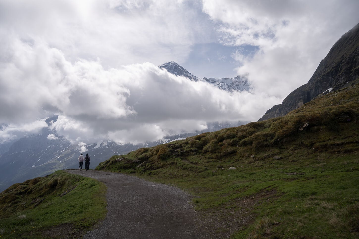
Part of the Panorama trail, from Männlichen to Kleine Scheidegg.
You can also shorten the hike by skipping Lauberhorn for Kleine Scheidegg, then either walk back down to Wengen or take the train. The short section between Männlichen and Kleine Scheidegg, called the Panorama Trail (4.68 km / 3 miles), is also a popular option and is usually done by taking the Cable car to Männlichen and then the train back down from Kleine Scheidegg.
So the hike I’ll describe here also almost entirely covers the Panorama trail, except for the last bit that’s traded for Lauberhorn, which offers better views.
From Lauberhorn, it’s entirely downhill back to Wengen.
| Max Altitude | 2,472 m (8,110 ft.) |
|---|---|
| Distance | 19.6 km (12.17 miles) |
| Elevation gain | 1,460 m ↑ / 1,460 m ↓ (4,790 ft.) |
| Hike time | 5.5-6.5 Hours |
| Hike Difficulty | moderate, but physically demanding |
Here is the map of the hike. You can download the GPX file for free from the activity linked below.
How to get to Wengen Männlichen Trailhead and Parking
Located in the Berner Oberland, Wengen is a car-free village; to get there, you’ll have to drive to Lauterbrunnen, park the car in the main parking silo by the train station, and catch the train ride from Lauterbrunnen to Wengen. Trains are frequent; no need to book a ticket, but you can purchase one in advance on the SBB website or app.
- Driving Directions: There is no highway in Lauterbrunnen either; the closest one is the A6 in Interlaken, so unless you are already staying in Interlaken, you’d first have to drive there, take the exit toward Lauterbrunnen/Grindelwald, and keep following the road until you reach Lauterbrunnen. From Interlaken, it takes about 30 minutes to reach Lauterbrunnen by car.
- Parking: The parking silo in Lauterbrunnen is adjacent to the train station. Paid Parking. It will be on your left as soon as you enter Lauterbrunnen.
- Public Transport: Lauterbrunnen and Wengen are easily reached by train. Like for driving, you’d have to take the train to Lauterbrunnen first, then take the connection to Wengen from there. Tickets can be purchased on the SBB app or website.
TIP: Make sure to sit on the right-hand side of the train, in the direction of travel. You’ll have the best views of the Lauterbrunnen valley as the train enters Wengen. And keep the camera ready!
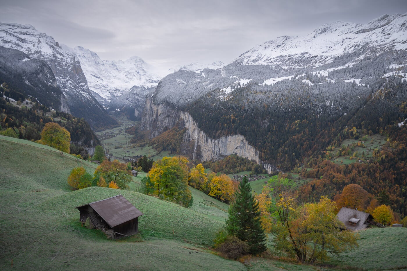
The Wengen Männlichen Loop Hiking Trail – Via Lauberhorn
Overall, this hike can be divided into three main legs. First, from Wengen to Männlichen. Then from Männlichen to Lauberhorn via the Männlichen-Kleine Scheidegg Panorama trail, taking the detour up to Lauberhorn. And finally, from Lauberhorn back to Wengen.
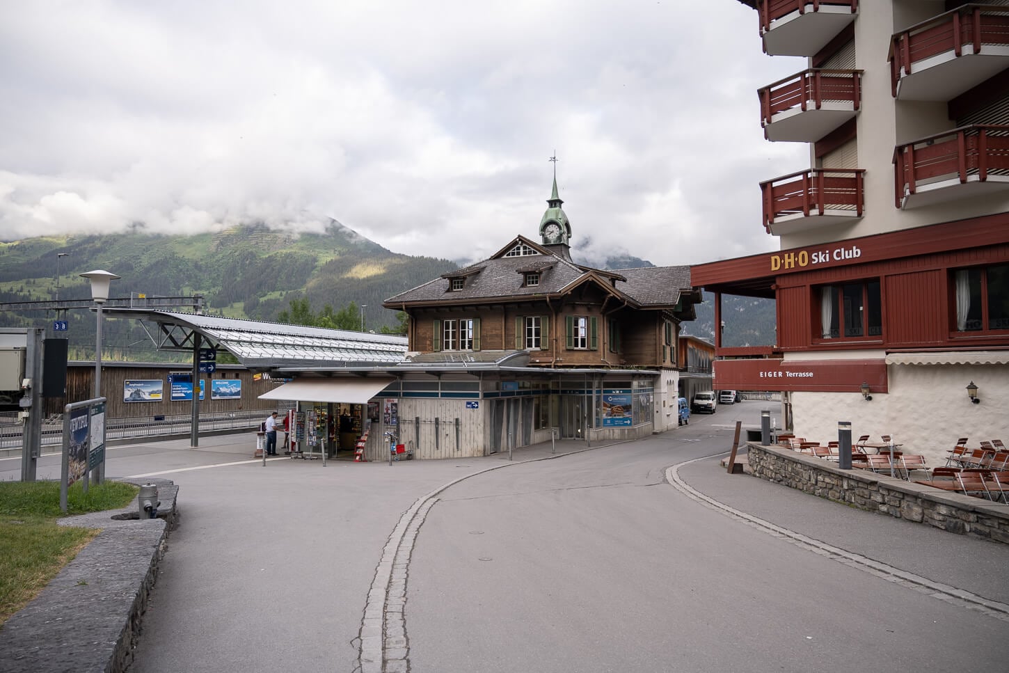
Wengen’s train station is the start and endpoint of the hike.
Hiking from Wengen to Männlichen
The hike starts in Wengen, at the train station, to be precise. You’ll need to walk through the main road of this little car-free town. As you cross town, you’ll start to see the first few trail signs pointing to Männlichen, and it’s not long before you enter the forest.
This section of the trail is where most of the elevation gain is. The trail initially runs through the forest for two kilometers, through increasingly steeper, rocky terrain. After passing a few pastures, the views finally start to open up. You’ll have the first epic views of the Lauterbrunnen valley. Everything already looks like some sort of miniature world from there
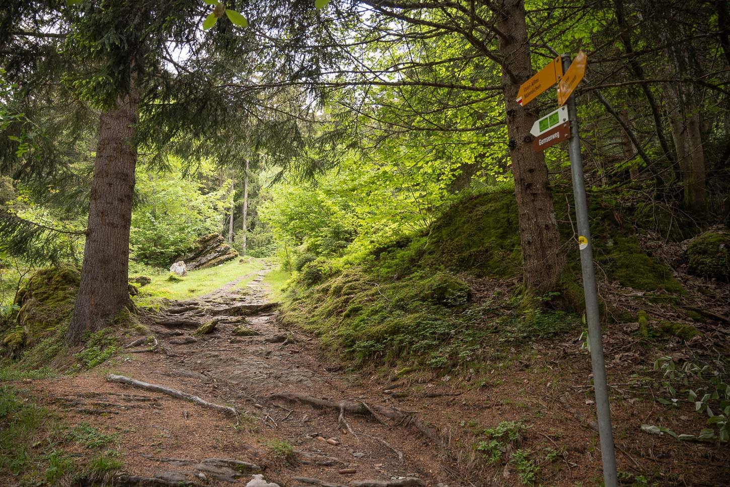
The trail from Wengen initially crosses a wooded area.
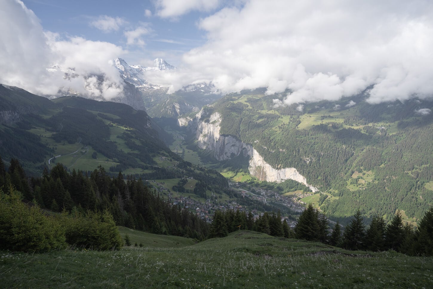
After about 3.5 km, the views open up to the Lauterbrunnen valley.
After a short stretch with the panoramic views to your left, the trail enters the forest again, to reemerge at km 3.5, where it heads toward the avalanche barriers. Here, you get a good sense of how steep the mountain really is, with Wengen and Lauterbrunnen that look like one single conglomerate. After the barriers, the trail flattens before the last short uphill push to reach the Männlichen cable car station.
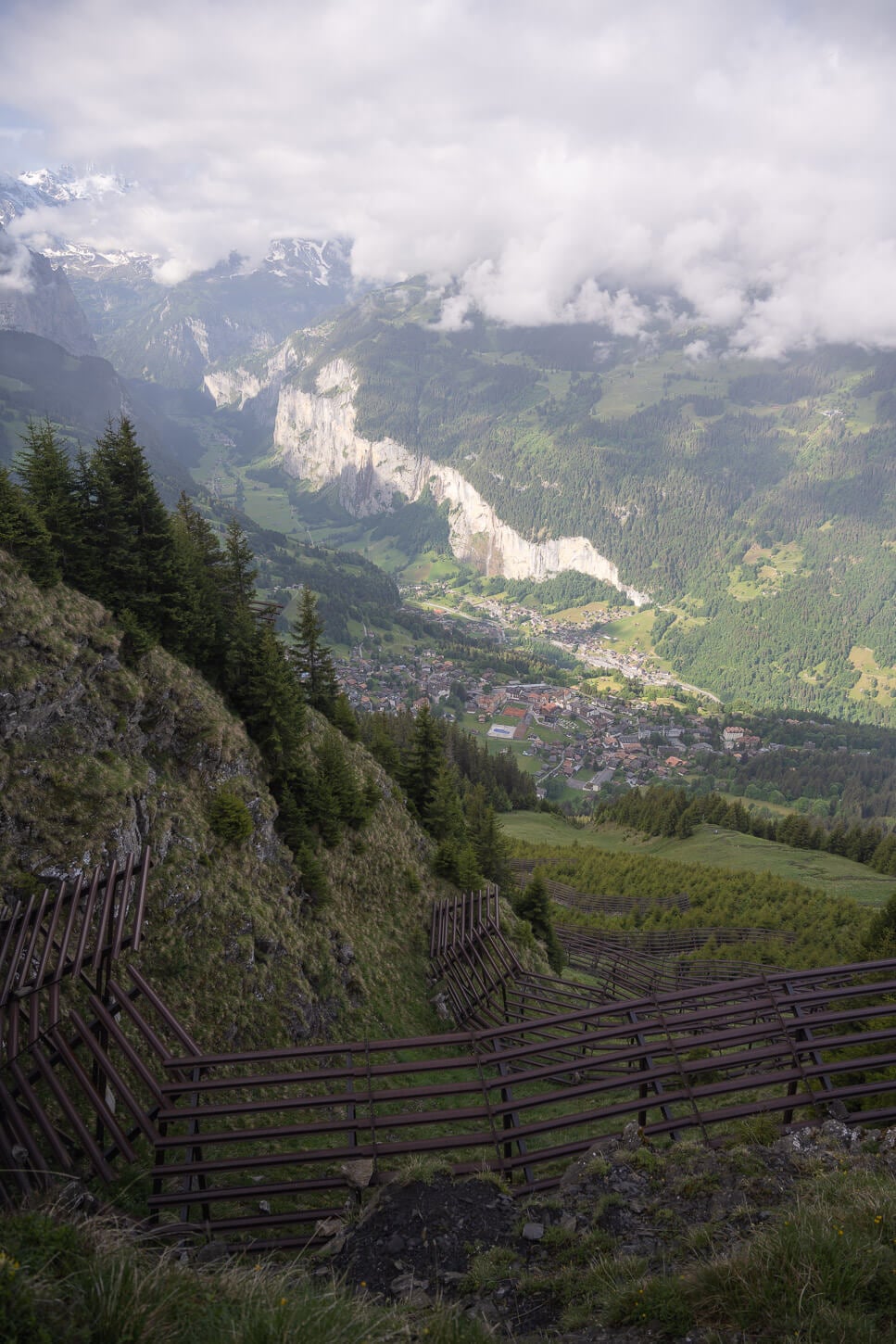
From the avalanche breakers just below Männlichen, you get a good sense of how steep the slope is. Wengen and Lauterbrunnen almost look like one single conglomerate!
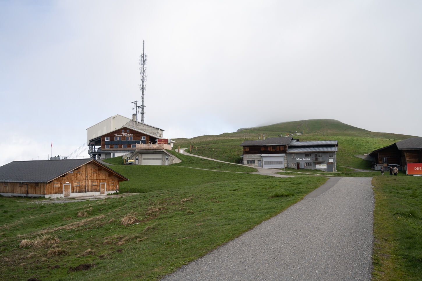
From the Avalanche breakers, the flatter area at the top is not too far.
It took me about two hours to cover the 5 km. 900+ meters of relentless elevation from Wengen to the Männlichen mountain station. Never really exposed, but not for those afraid of heights either.
From the mountain station, there is a wide path, more like a gravel road, a 1 km walk to Männlichen that takes about 20 minutes. easy paved/gravel path. The platform is visible from afar already, and as you step on it, you have some great views on either side of the mountain. Grindelwald on one side, and Lauterbrunnen on the other – arguably the better view. Impressive, with the steep, ice-covered rock faces of some of the highest and most legendary mountains in Switzerland.
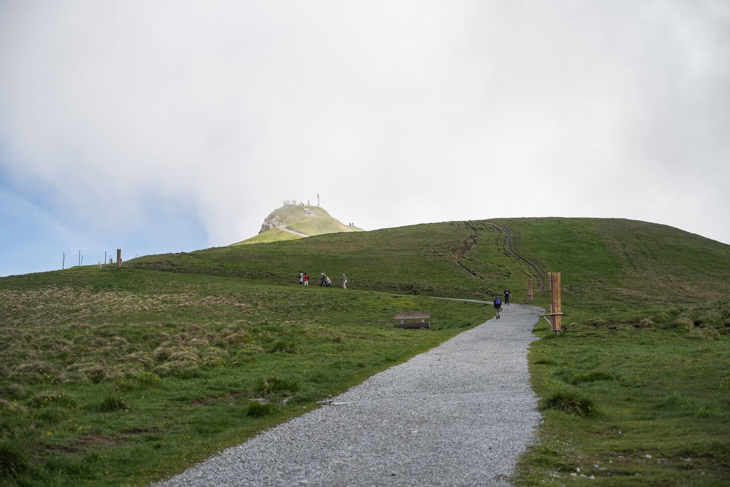
From the cable car station, it’s a rather short walk to Männlichen’s Observation deck.
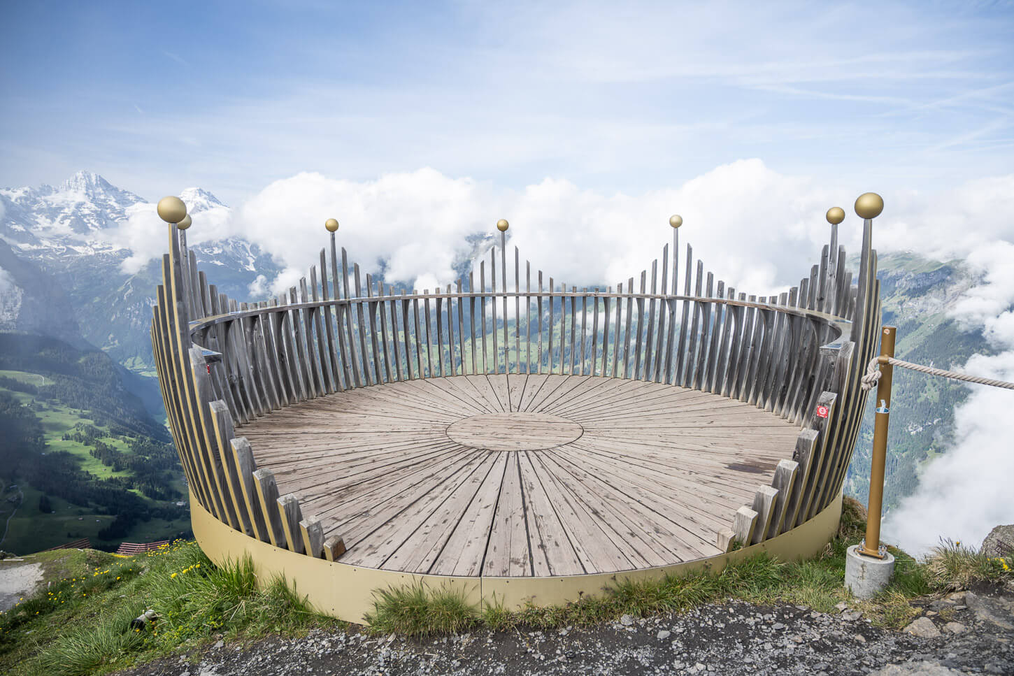
Männlichen’s observation deck, 2.343 m (7,687 ft). In the shape of a crown, as it’s part of a thematic trail of a royal journey to a mountaintop kingdom.
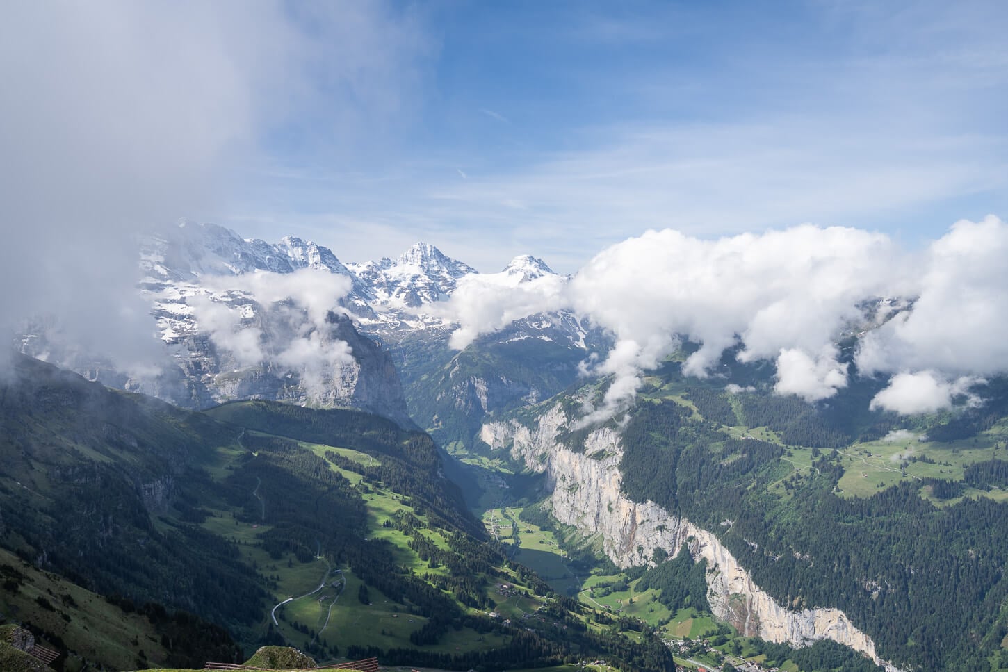
The view from the observation deck is as close to aerials as it gets, and you can see the entire Lauterbrunnen valley and more.
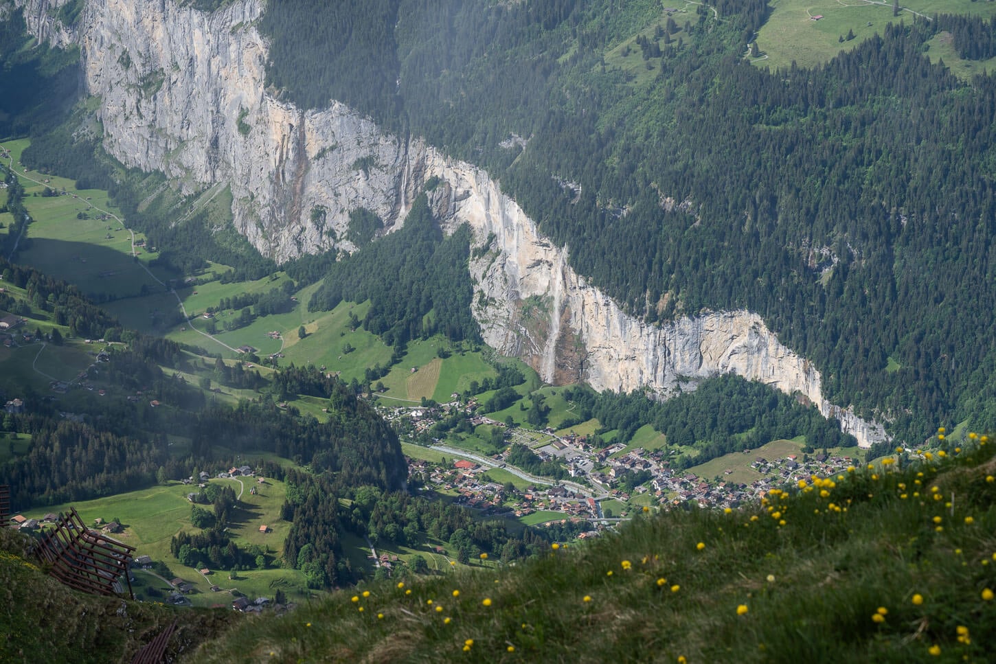
Staubbachfall.
From Männlichen, you would then need to go back to the cable car station and continue from there.
Männlichen to Lauberhorn Hike and back to Wengen
This is the section that follows, for the most part, the Panoramic trail Höhenweg to Kleine Scheidegg. In total, it’s about 7km to reach Lauberhorn’s summit from Männlichen, with another 500m of elevation gain, approximately.
Initially, the path is downhill, wide, and easy to walk. For the most part is akin to a narrow gravel road, more than a hiking trail. Here and there, you get panoramic views of the Lütschine Valley, where Grindelwald is.
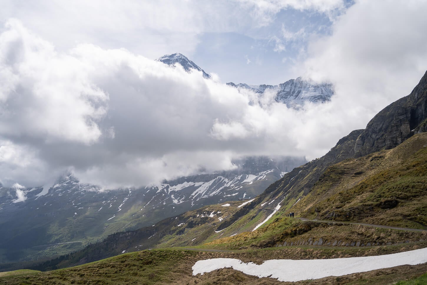
From Männlichen, the Panorama Trail continues toward Kleine Scheidegg.
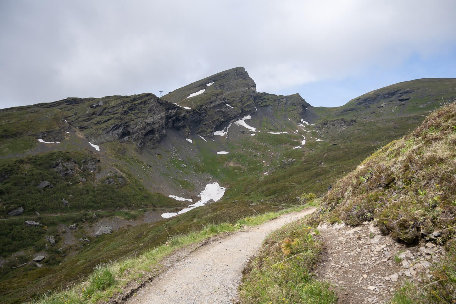
For the most part, the trail is more akin to a narrow gravel or dirt road.
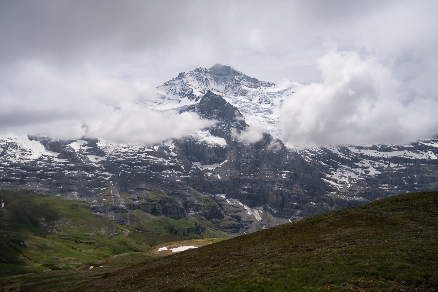
Jungfrau, 4.158 m (13,642 ft).
It’s an uncomplicated but relatively long walk here, and you also have the views of the Jungfrau giants right in front of you. The trail continues to the Berggasthaus Stöcki-Grindelwaldblick, a mountain hut with a restaurant.
Before reaching the hut, look for a marked trail to your right. The trail is well-marked, but sometimes partly visible. It’s not long before you’ll reach the Lauberhorn ski lift mountain station. Take the path to the left of the station, and you’ll soon reach the summit.
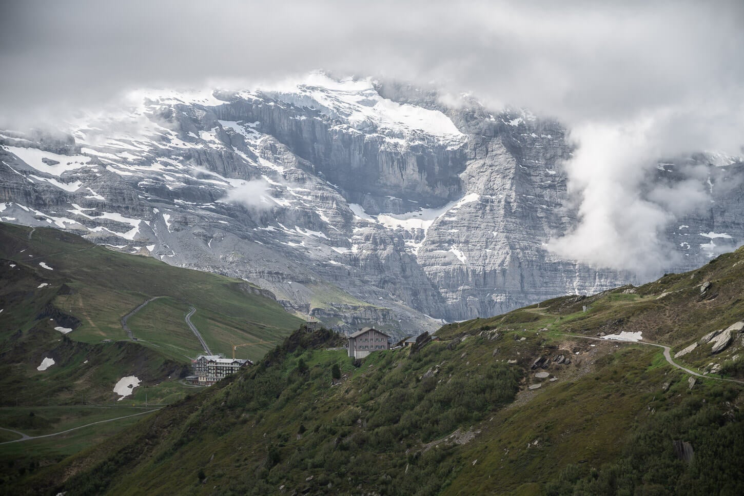
Berggasthaus Stöcki-Grindelwaldblick, where the trail splits between Kleine Scheidegg and Lauberhorn.
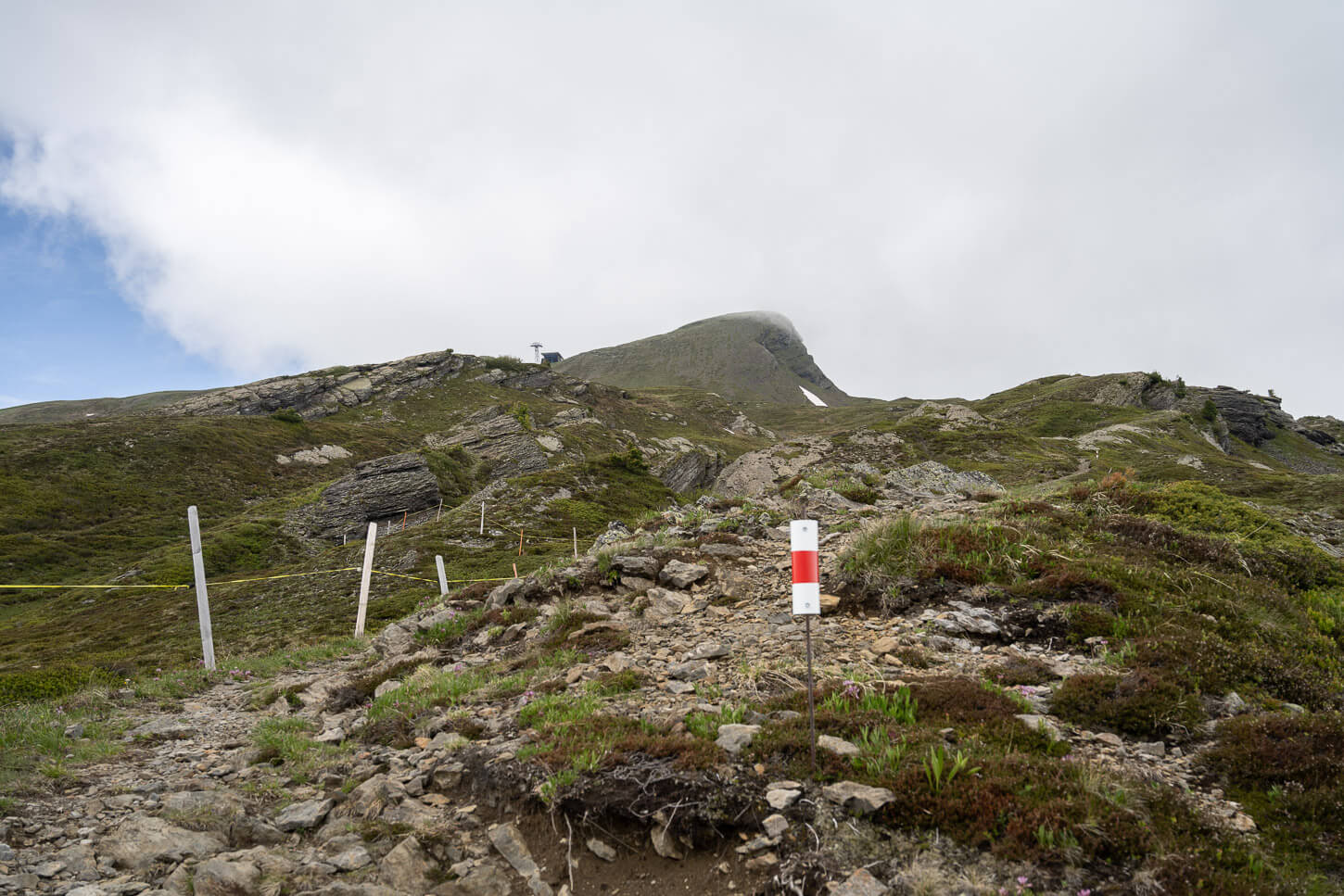
Start of the trail to Lauberhorn.
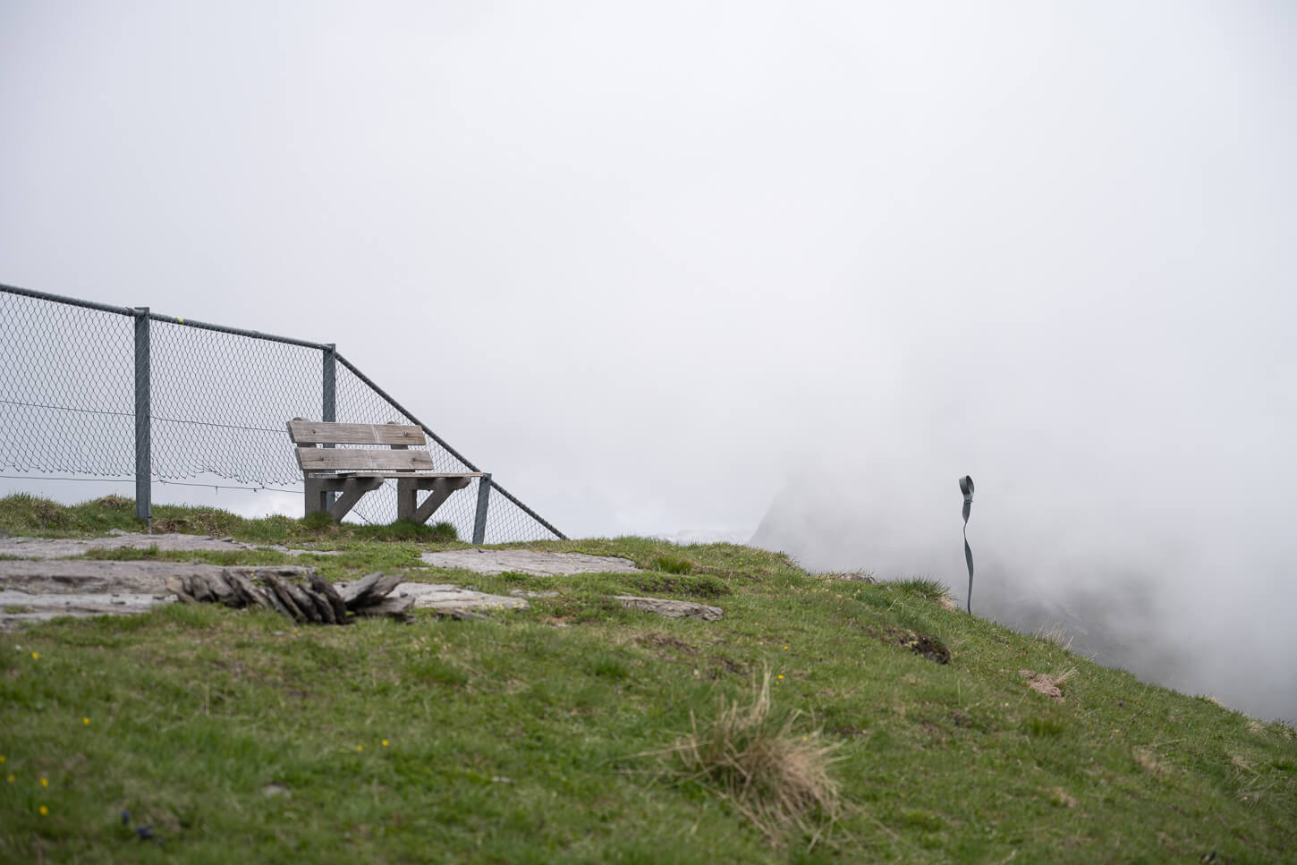
Lauberhorn’s summit, 2.472 meters (8,110 feet).
The summit is protected by fences on one side, as there is a vertiginous drop of several hundred meters down that side. You’ll also find some sort of sculpture, and a few benches to sit and enjoy the view (or take a power nap, as I did).
The views of the Jungfrau massif are impressive. Dramatic, Jagged peaks, glaciers, vertical rock faces – and the occasional rockfall or glacier calving, of which you can hear the sound, but it’s always difficult to locate on such gigantic rock faces.
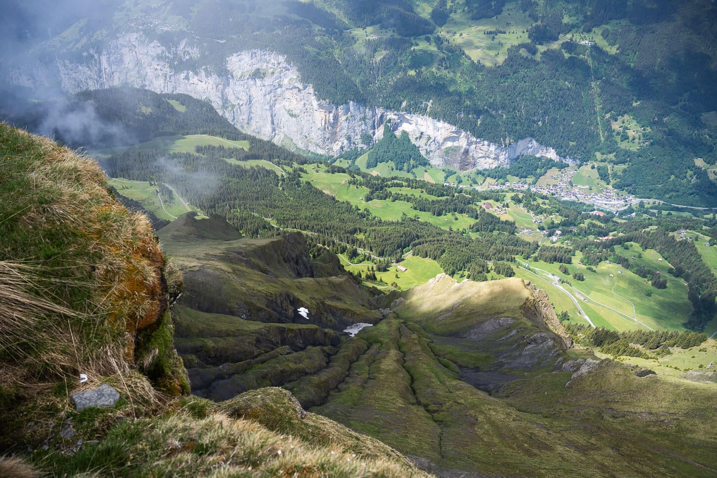
The vertiginous view from Lauberhorn down toward the Lauterbrunnen Valley.
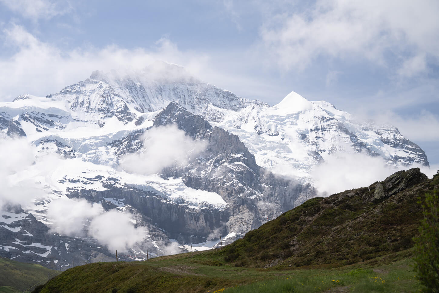
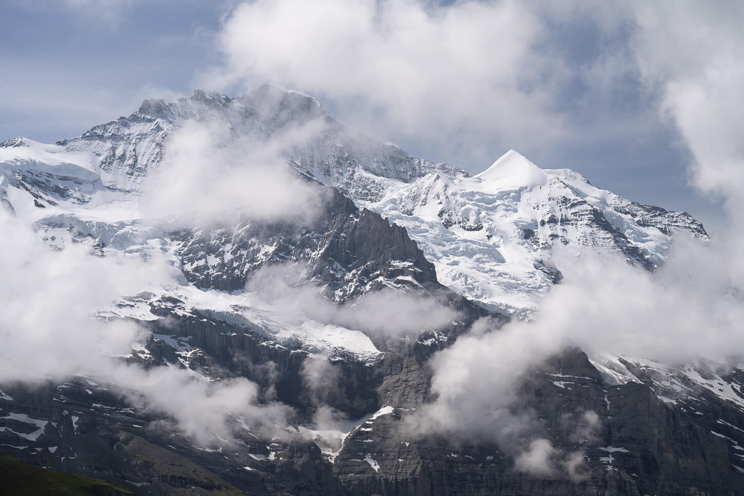
To go back down, you can also follow the Lauberhorn ski track, instead of taking the trail from Kleine Scheidegg. Or, take a slightly longer detour via Kleiner Scheidegg.
On the way down, you are initially accompanied by more glorious views of the mountains and glaciers of the Jungfrau first and of the Lauterbrunnen Valley later. It’s another 8 km downhill from Lauberhorn to Wengen, where you can catch the train back to Lauterbrunnen.
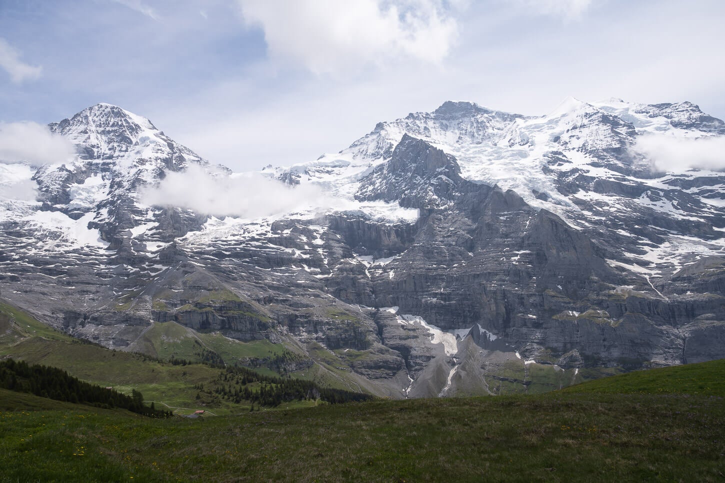
On the ay down from Lauberhorn to Wengen, you initially have more panoramic views of the Mönch, the Jungfrau and the Eiger.
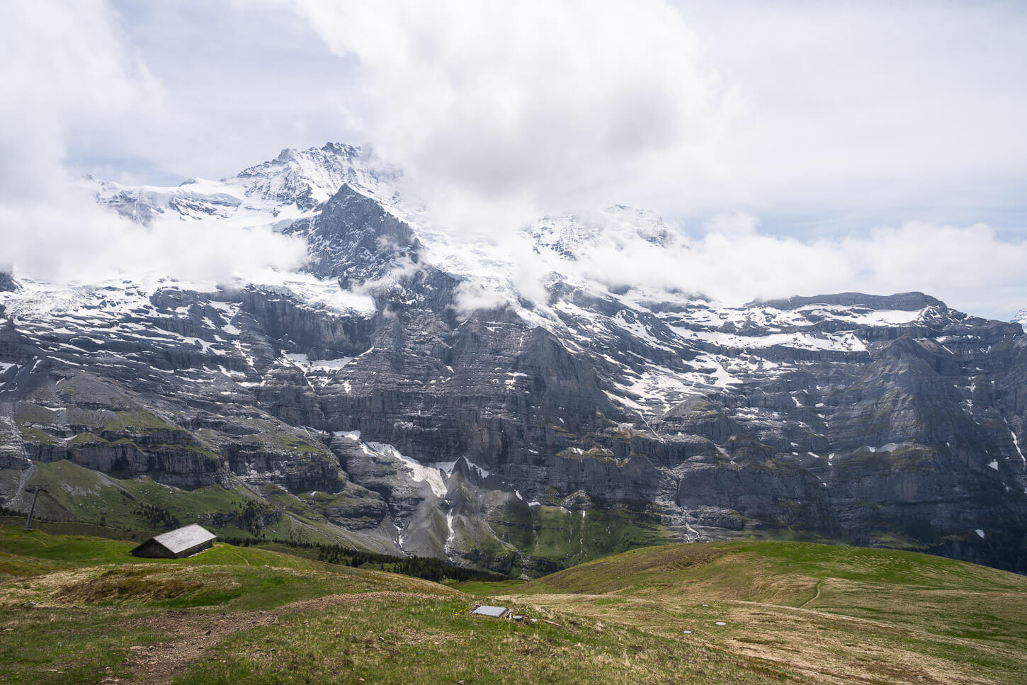
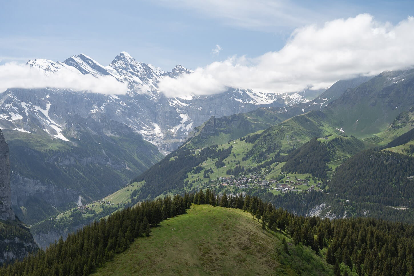
The last part of the trail is entirely downhill and leads back to Wengen, with more panoramic views of the Lauterbrunnen valley.
Wengen, Männlichen, Lauberhorn Photos and Photography Tips
The view from Männlichen, high above the Lauterbrunnen valley, is a classic, as well as the view of the three iconic mountains of the Bernese Oberland: the Mönch, the Jungfrau and the Eiger. It’s a great area for some panoramic mountain photography with those mountains above the Lauterbrunnen Valley.
The panorama trail is also a great stretch as you have a little more sense of scale, with hikers on the trails, huts, or the multiple layers of the mountains to put things into perspective, as you get closer and closer to the Eiger’s legendary north face.
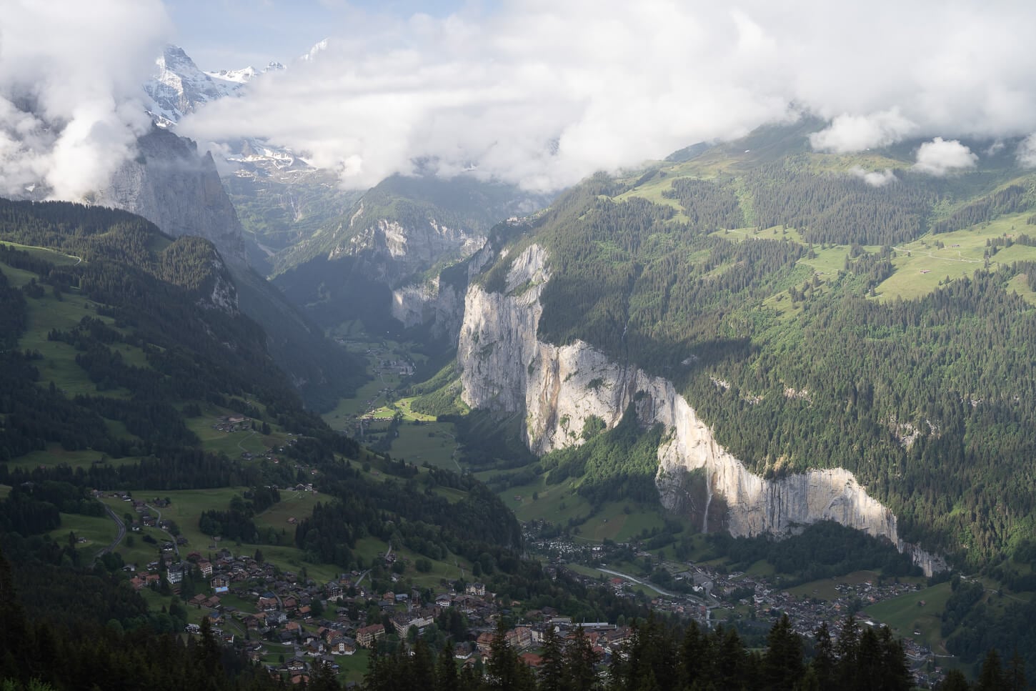
The Lauterbrunnen Valley.
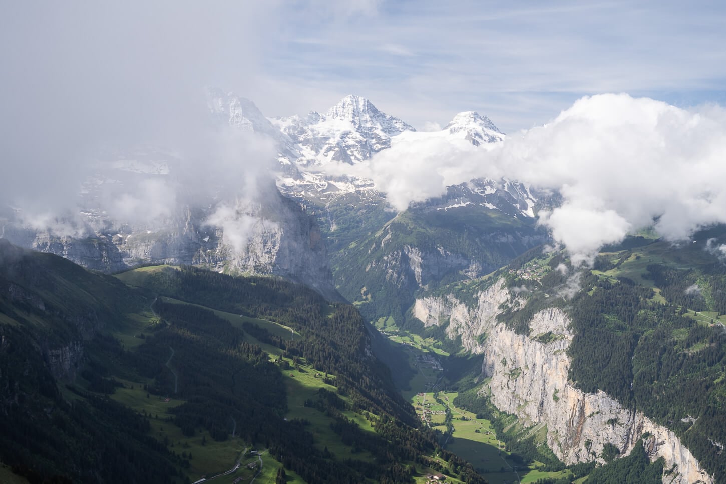
The Panorama trail is a good spot to try to capture the scale, with other hikes as references.
In most cases, a mid-range zoom will be more than enough. I took most of the photos in this post with a standard 24-70mm lens, full frame. However, what I think is really fun to do here is using a telephoto lens to capture all the smaller details on those mountains. There’s a seemingly endless supply of details in those mountains. So do bring a long telephoto lens if you have it. It will be fun to use here.
The beautiful, elegant pyramid of the Silberhorn is especially a pleasure to watch and to photograph. An immaculate, steep pyramid of snow that almost looks like a sculpture. And it is, one, but sculpted by the elements.
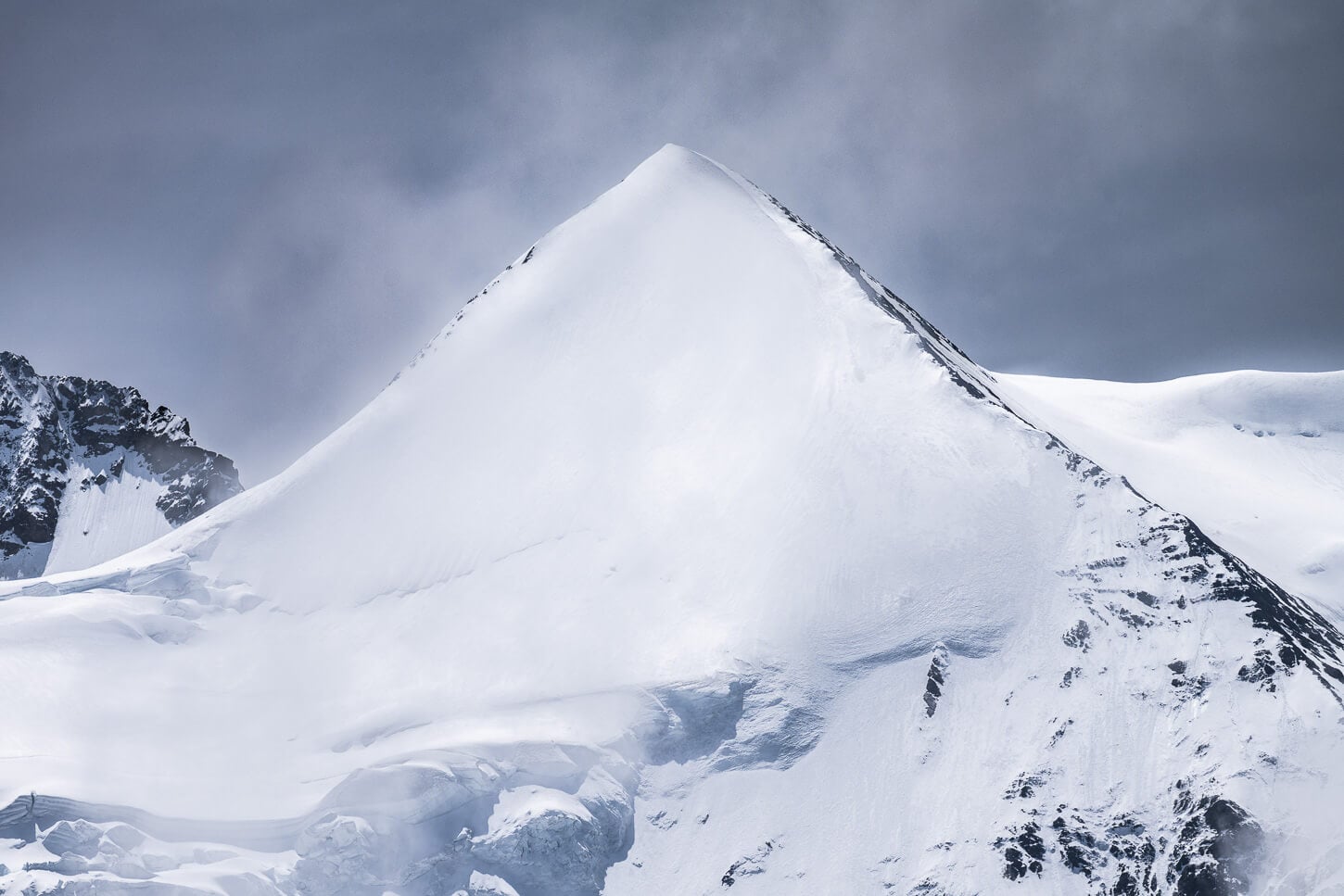
The beautiful Silberhorn, a smaller peak in the Jungfrau massif. 400mm, full frame.
Jungfrau and Sibelhorn, on the right. 100mm, full frame.
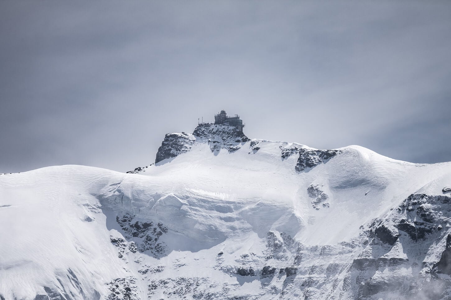
Jungfraujoch, Europe’s highest railway station at 3,454 meters (11,332 feet). 400mm.
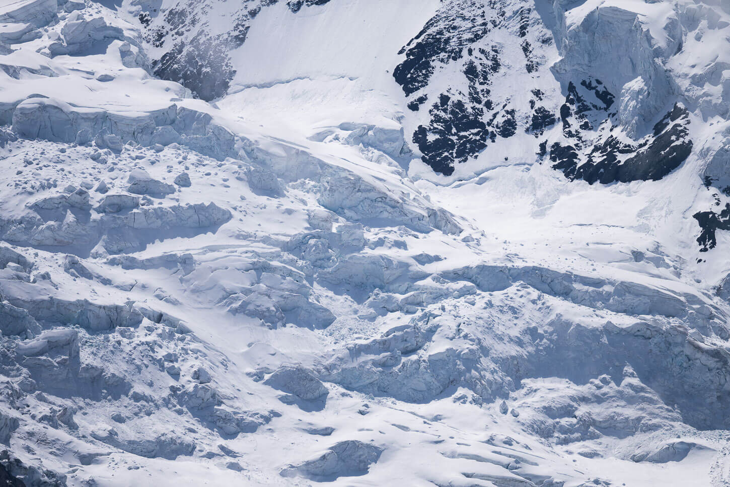
The immaculate and jagged glaciers on Jungfraujoch’s slopes.
Where to Stay
The whole area from Lauterbrunnen to Wengen has no shortage of places to stay – even huts up on the mountain. On that, if you want to stay on the mountain, you have three options: Berghaus Männlichen, near the Männlichen mountain station, Berggasthaus Stöcki-Grindelwaldblick near the trail junction that leads to Lauberhorn, and Restaurant Bellevue des Alpes by the Kleine Scheidegg train station.
In terms of nearby towns, Interlaken is a popular place to stay, as it offers easy access to many other destinations.
Additional Resources
- If you are in the area, you may want to check out my Staubbachfall best viewpoint guide. Or for another long day hike in the same valley, check out the loop hike from Murren to Schilthorn.
- For a comprehensive overview of Hikes in Switzerland, check out my main Switzerland page.

Lovely, lovely views! I was in Wengen last summer and took the cablecar up to Mannlichen. It’s great to see more of this gorgeous area!
Nice! Yes, one of the most beautiful valleys in Switzerland!